CI Way- November
Guernsey (walk 4)
Guernsey (walk 4)
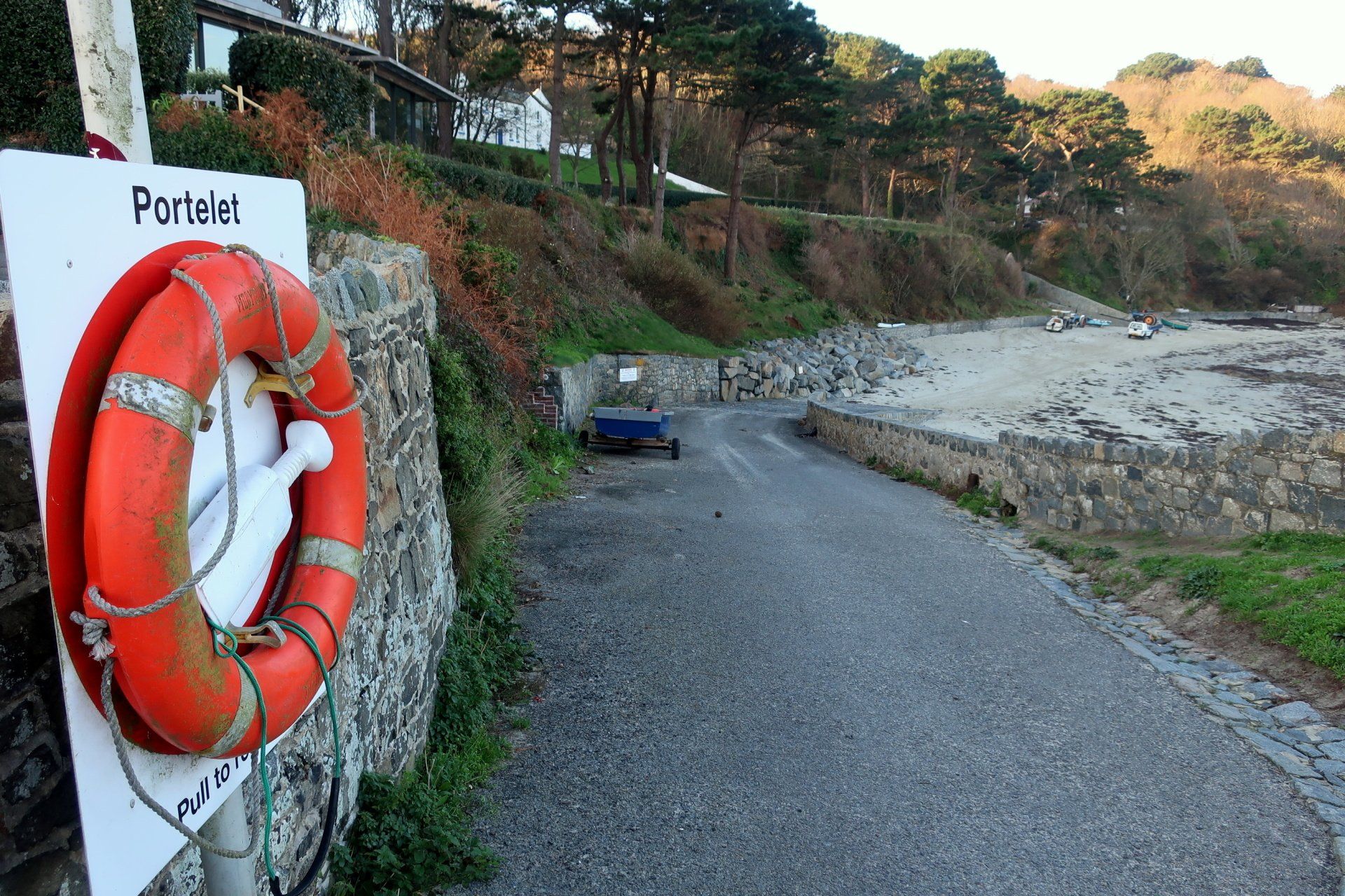
SUNDAY 18TH NOVEMBER 2018: Back in March I had completed the Guernsey walk around to Portelet, then put on pause to take on the other Islands, but now I am back to complete the final 2 legs of the whole CI Way with the Guernsey South Coast cliffs.
A lovely early winter day awaits, a max of 9 degrees with bracing force 6 Easterly wind, but blue skies and sunshine make this feel welcoming.
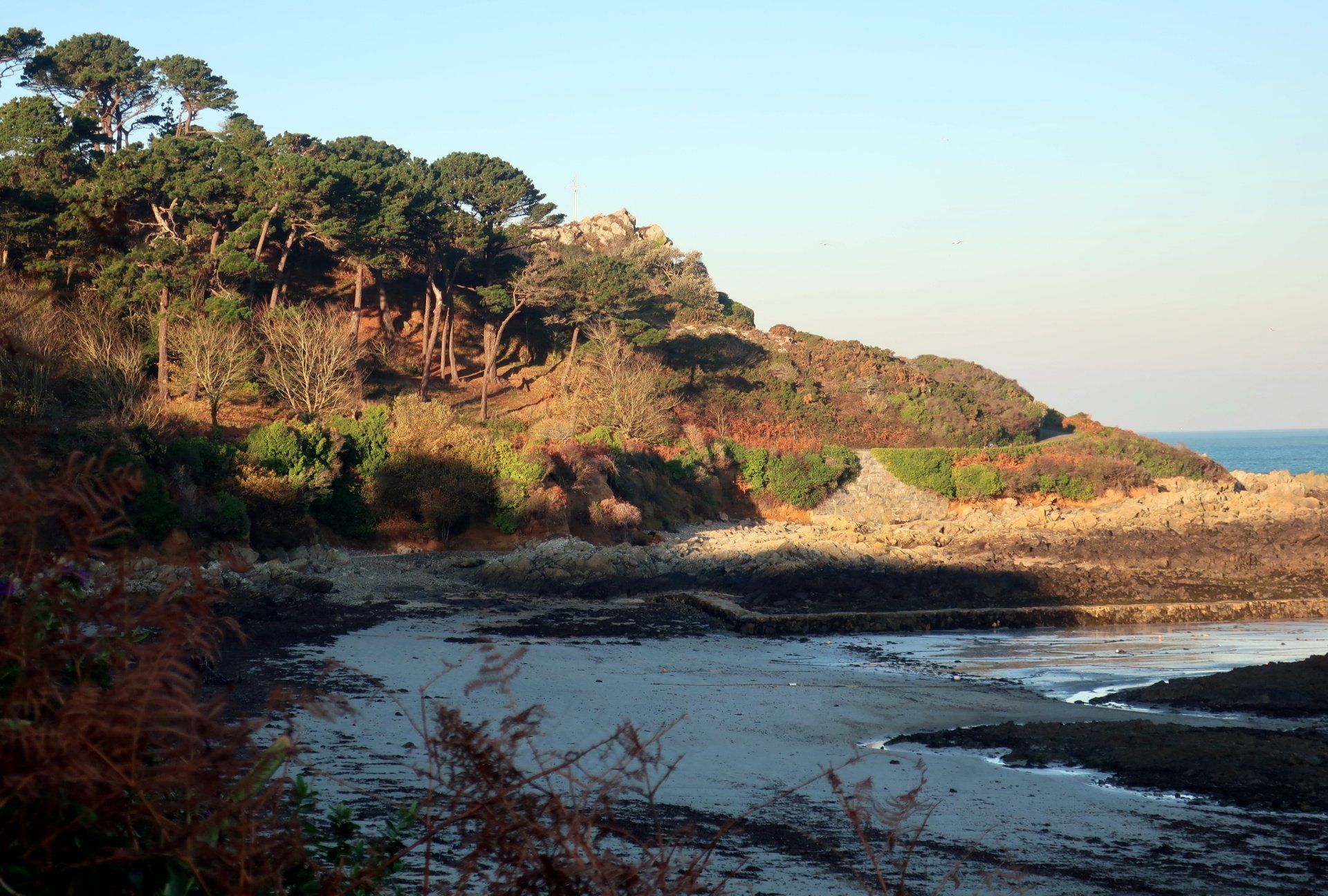
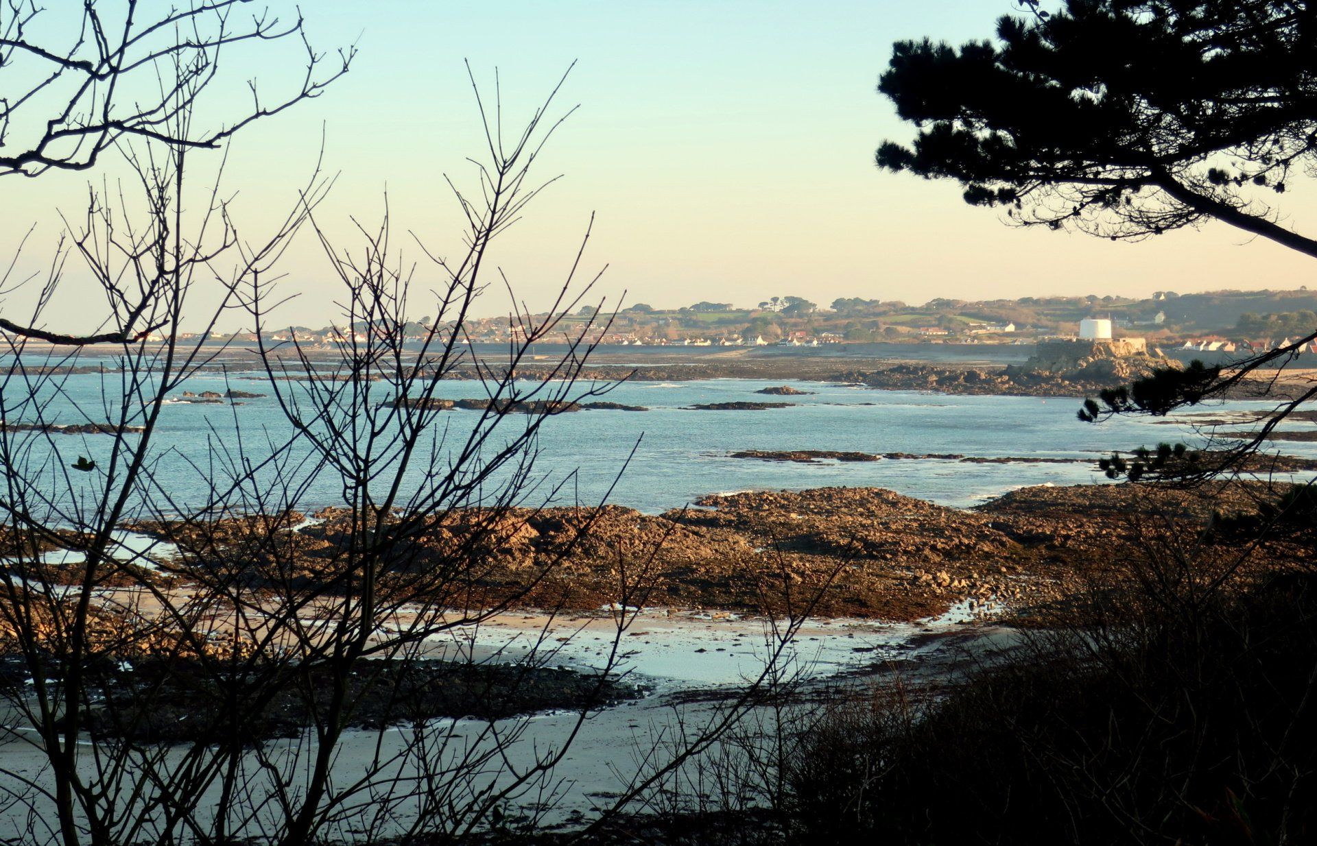
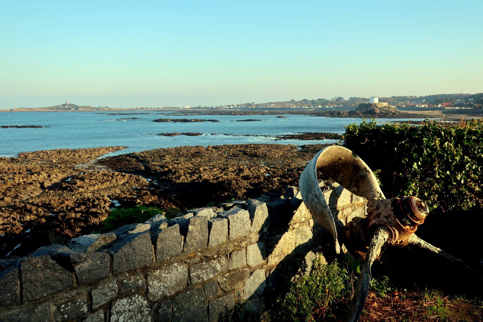
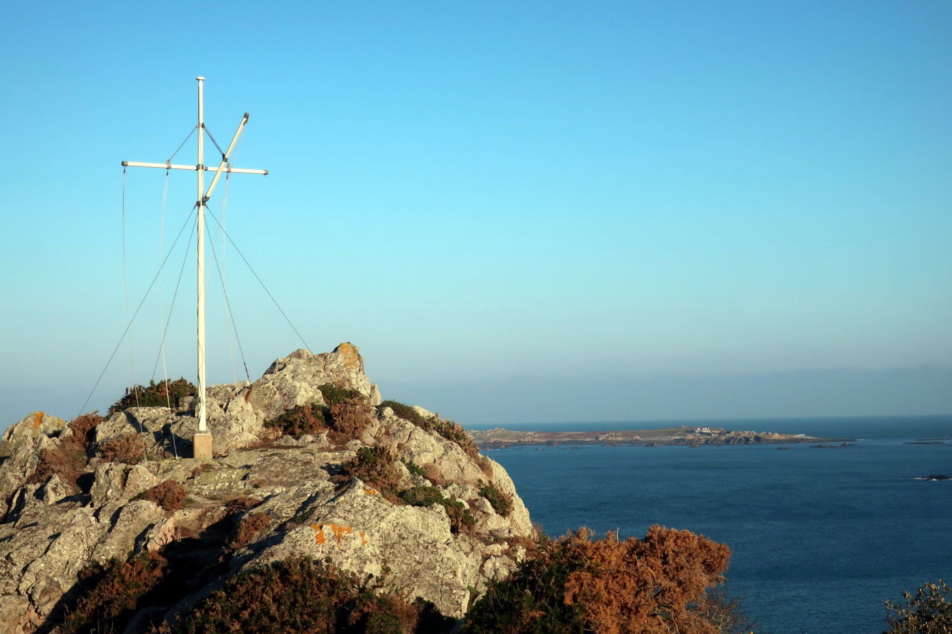
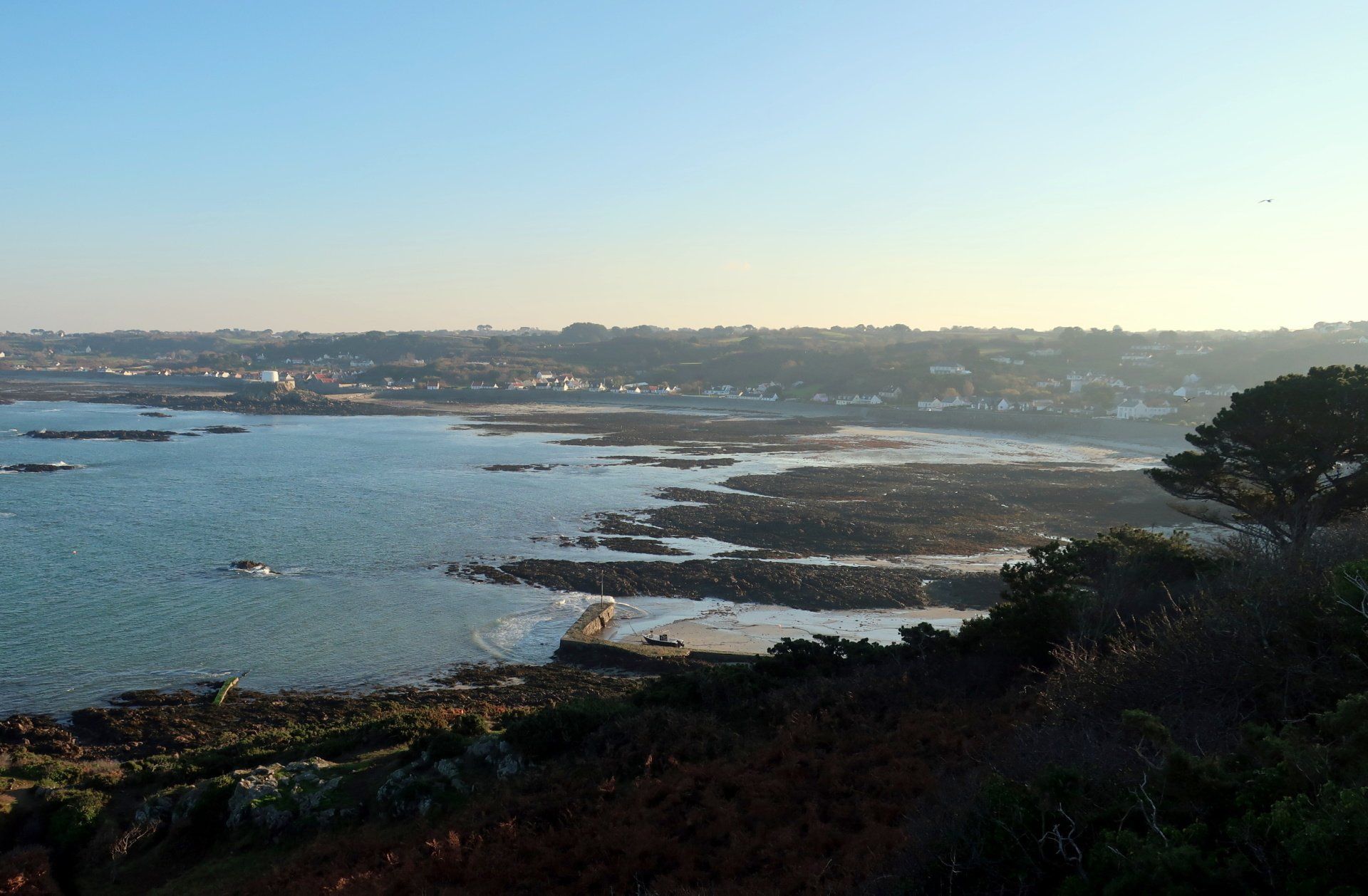
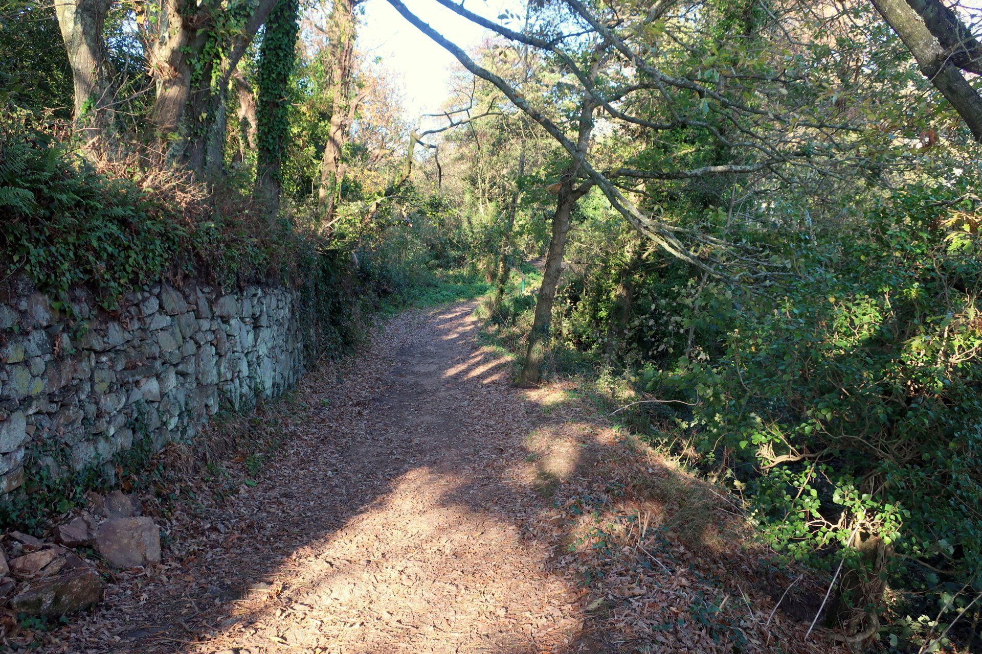
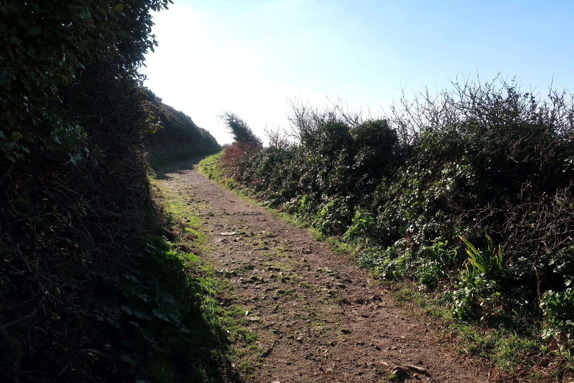
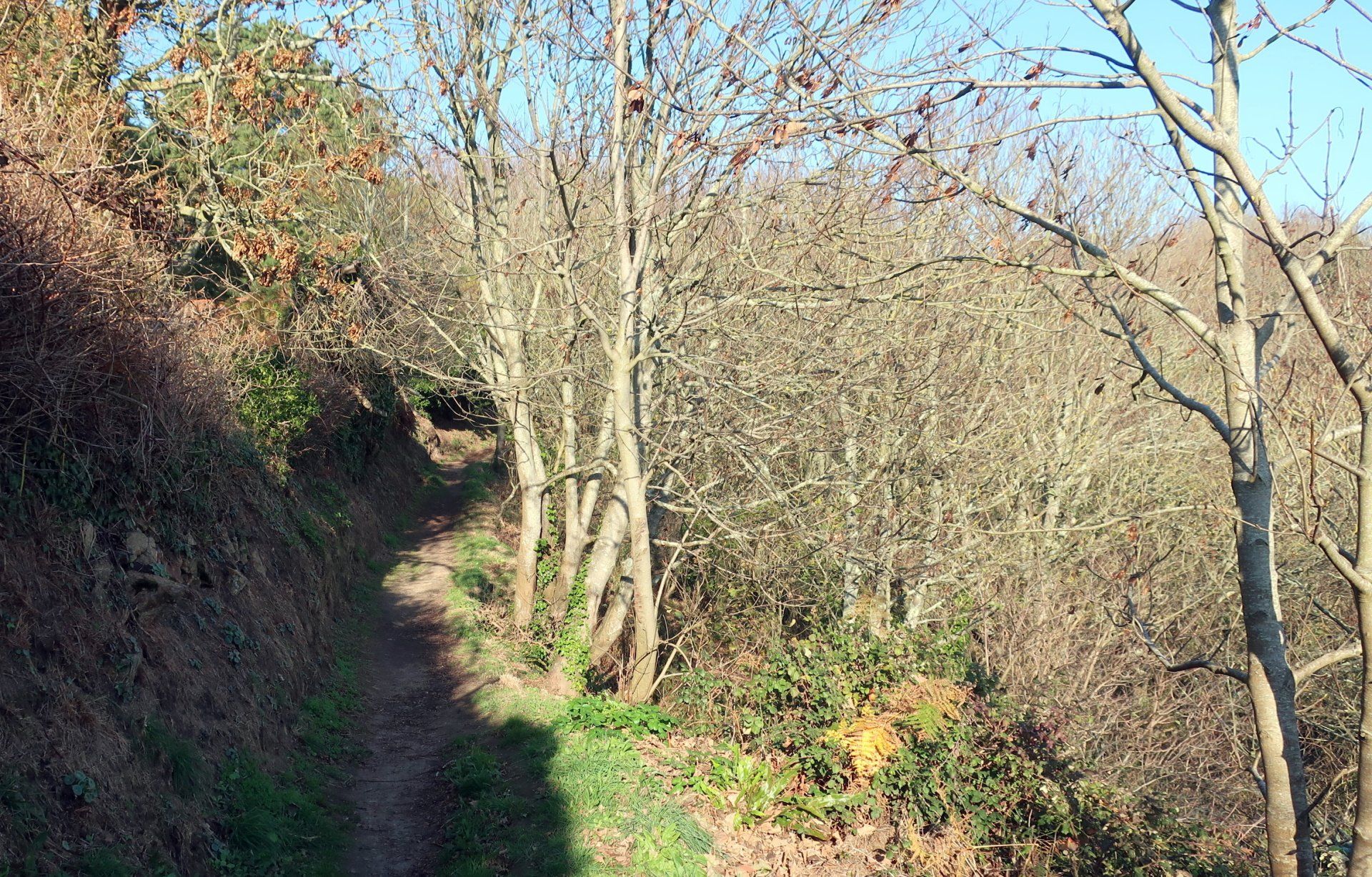
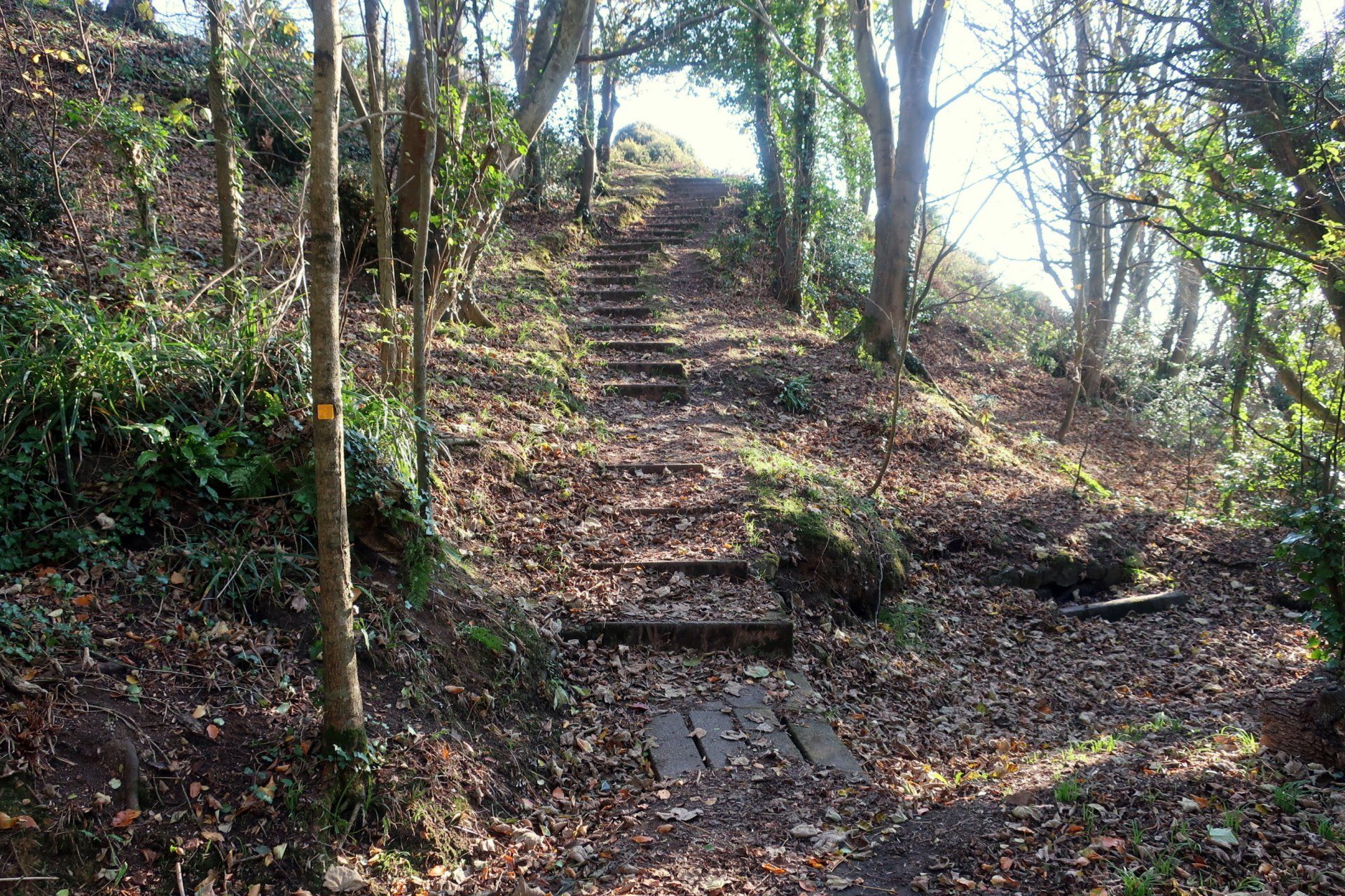
I am aiming to take the longer path today, to include the various headlands and the bays to the extent I can reach them (limited on this first half of the cliffs). The start point has a variety of route options, so instead of just wondering along the initial road, I divert up into the woods and up to a couple of higher points, these offering fantastic views over the whole area, bathed in early morning sunshine.
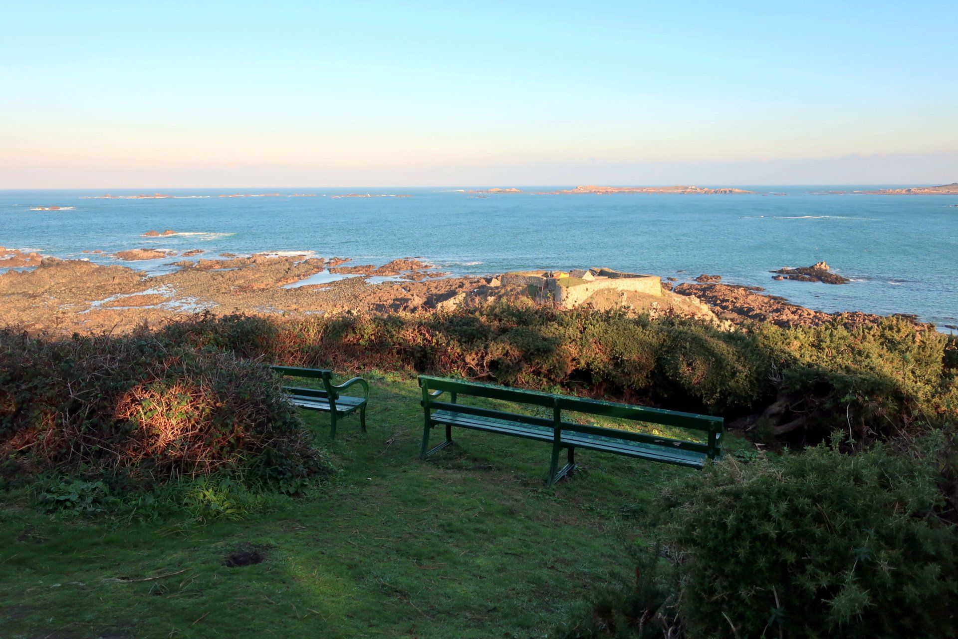
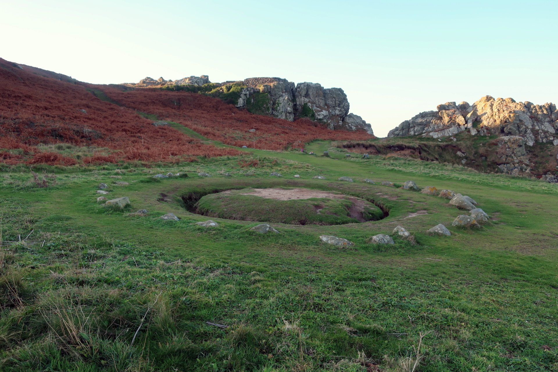
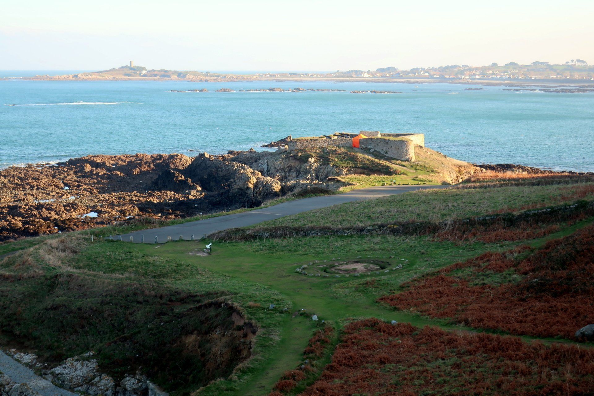
Along the path and I descend to the South West corner of the Island, home to another old fort – Fort Pezeries – and the Tables des Pions, otherwise known as the fairy ring. In reality this was a meeting and eating place, but local myth has it as a place of fairies and witches.
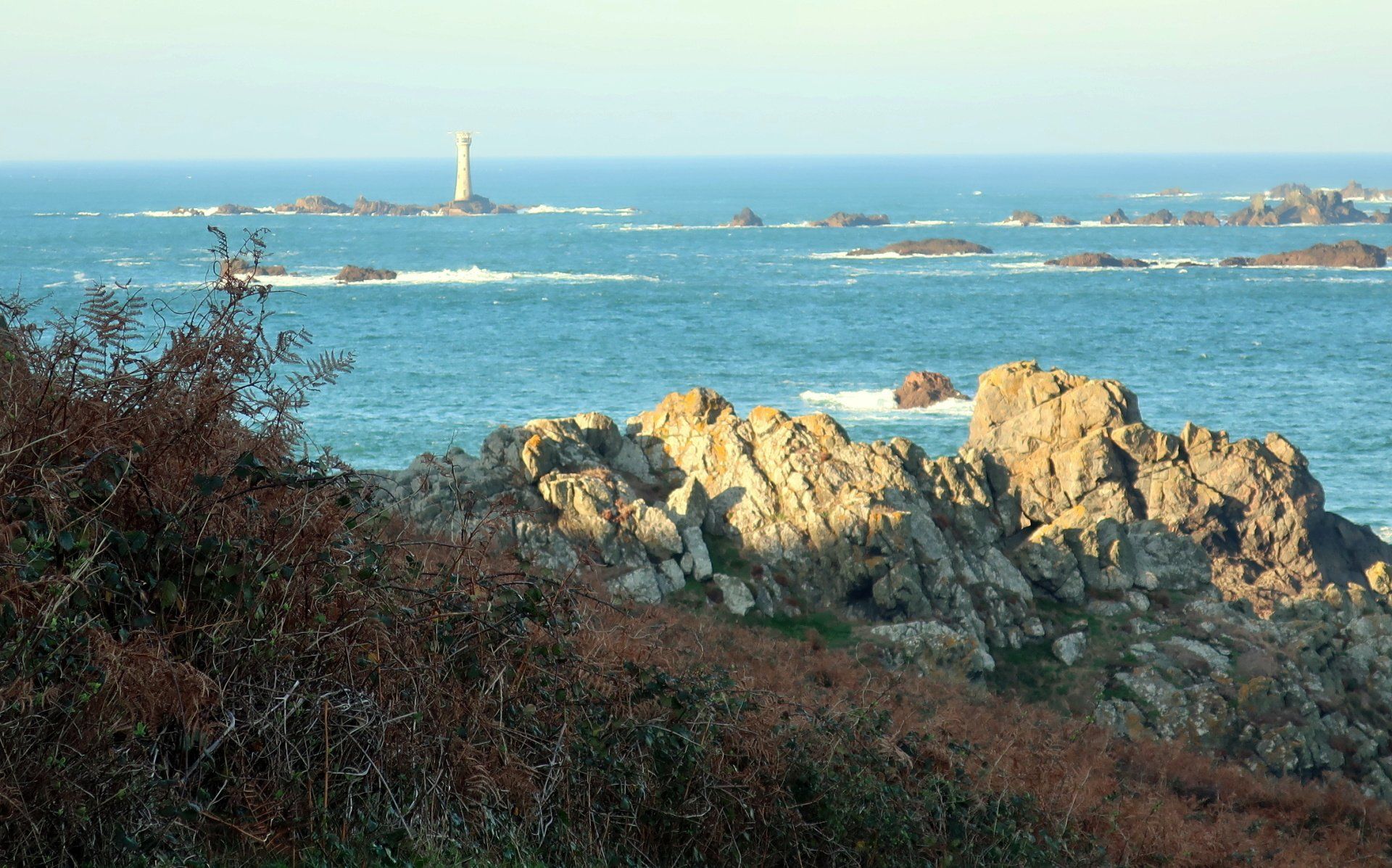
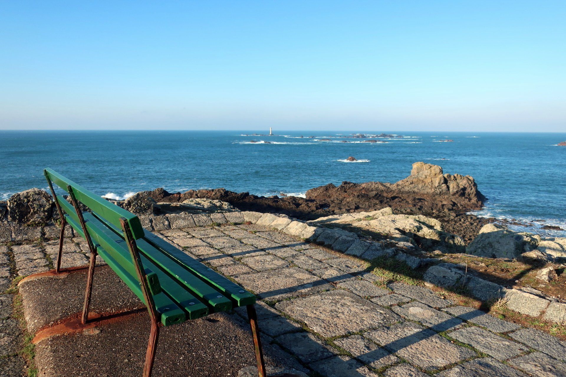
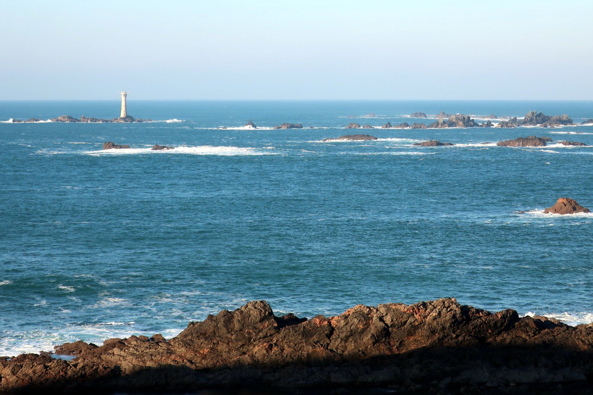
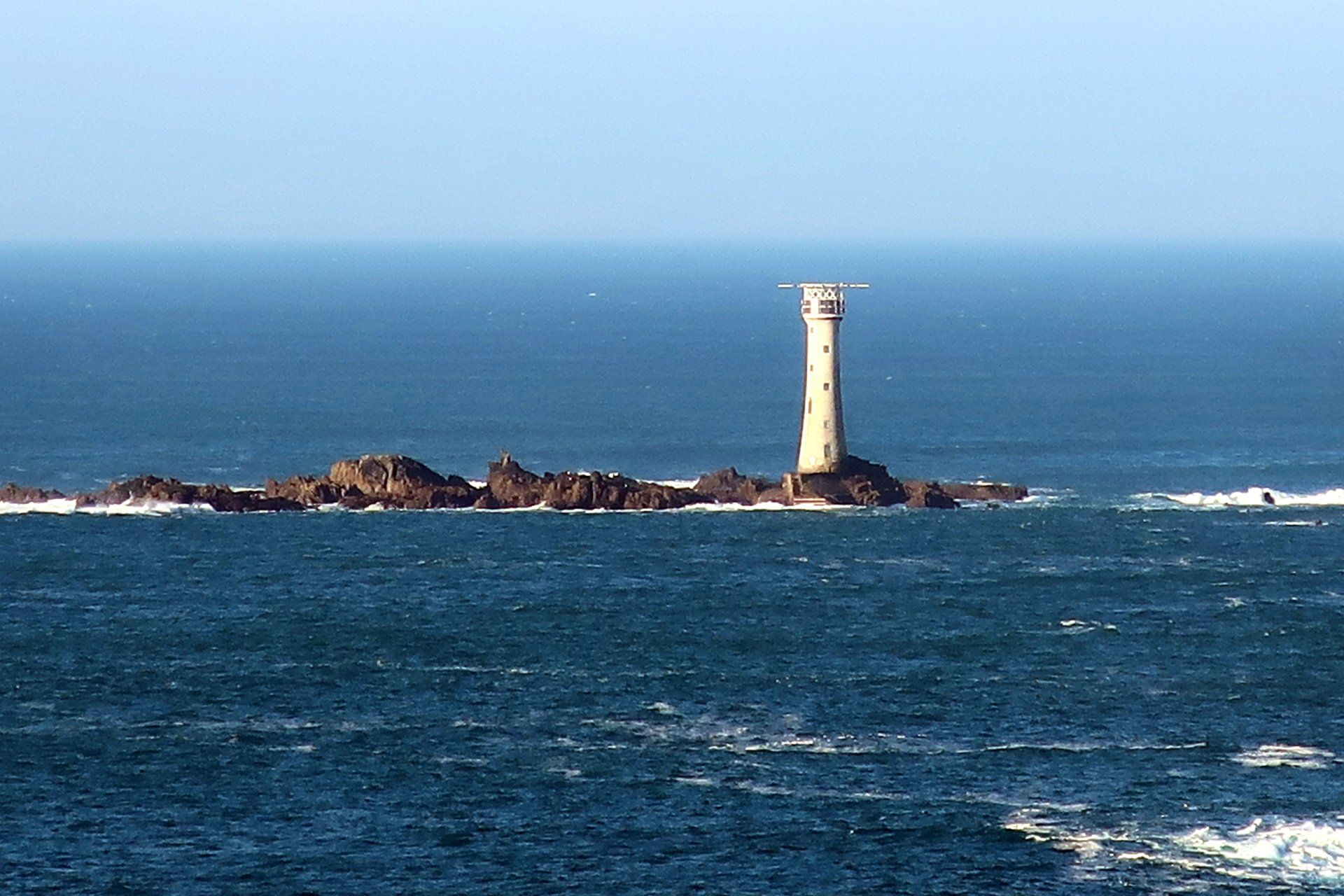
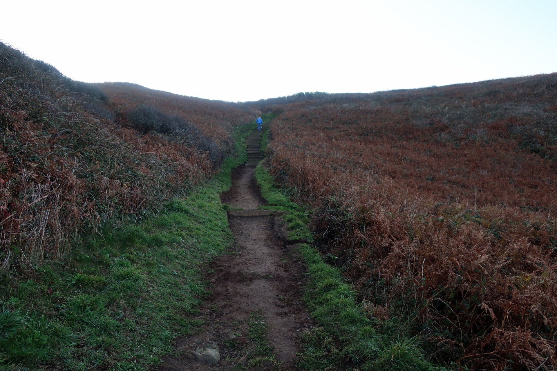
Up a steep path and I am soon at the top of the cliffs, the immediate feature drawing the eye out to sea is the Hanois lighthouse. This is a fascinating structure, which I have previously visited up close on a RIB trip. Completed in 1862 it has a particular method of stones being dovetailed both horizontally and vertically, which subsequently became the standard pattern for all British built sea towers. It is still in active use today, albeit automated.
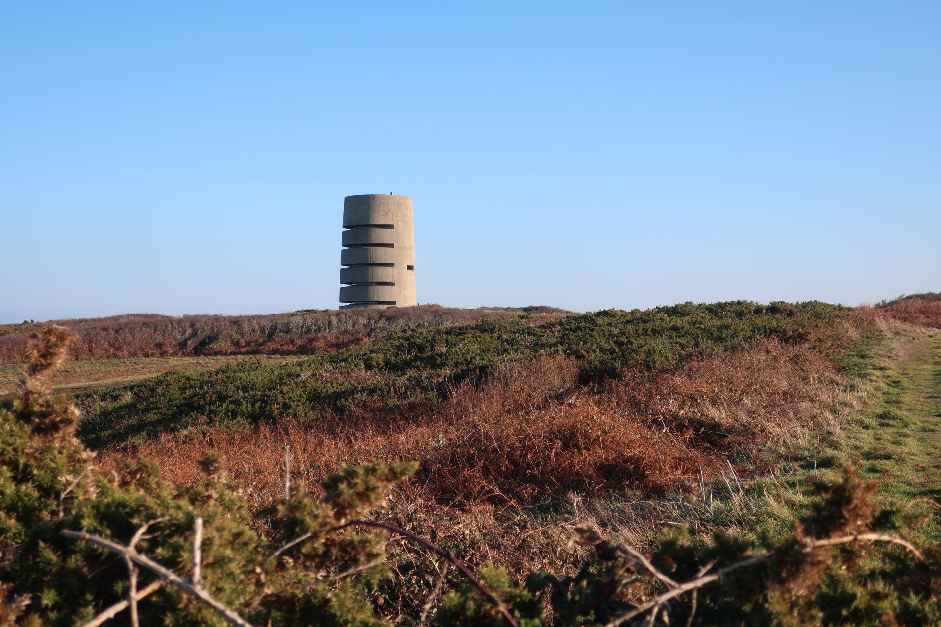
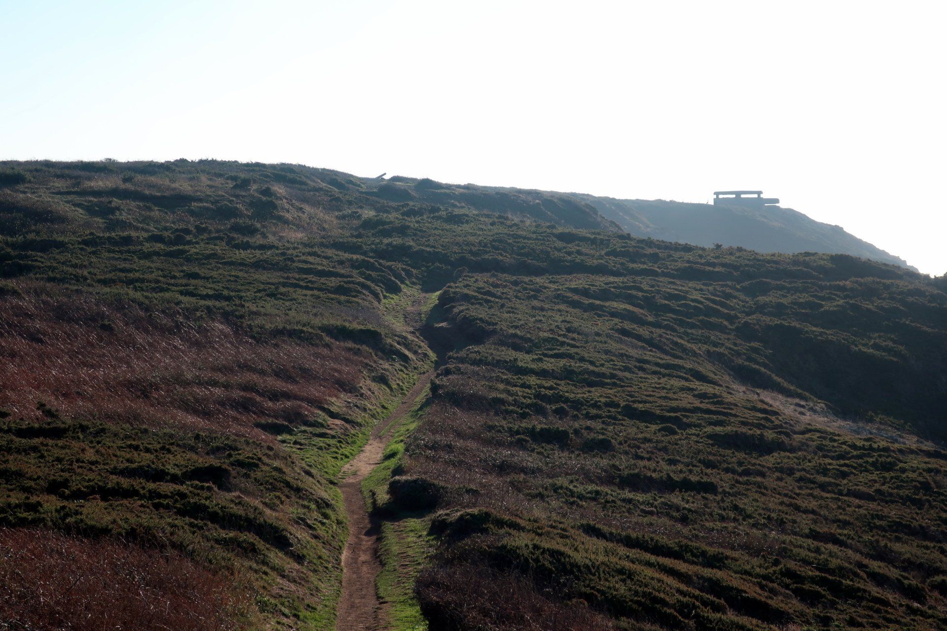
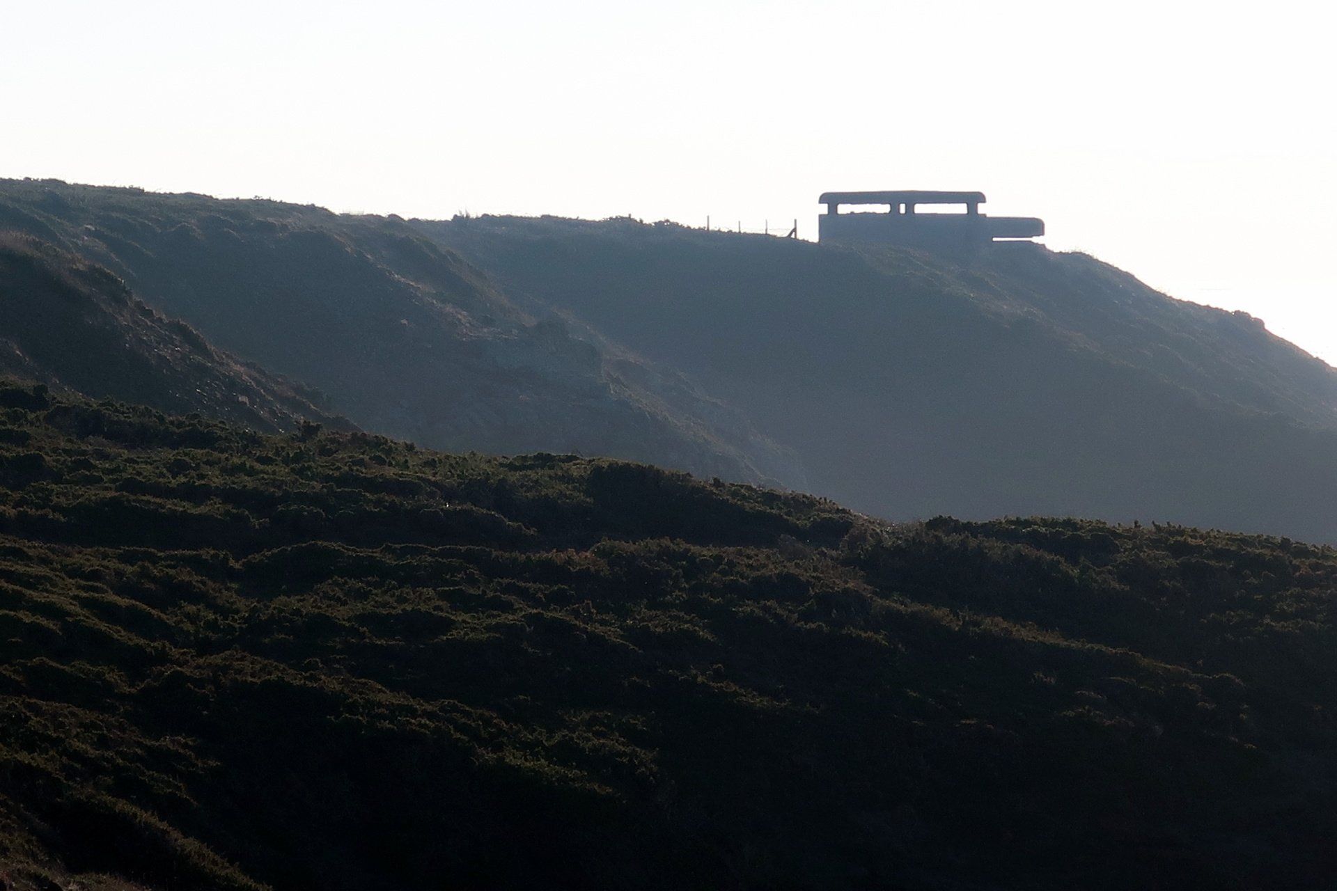
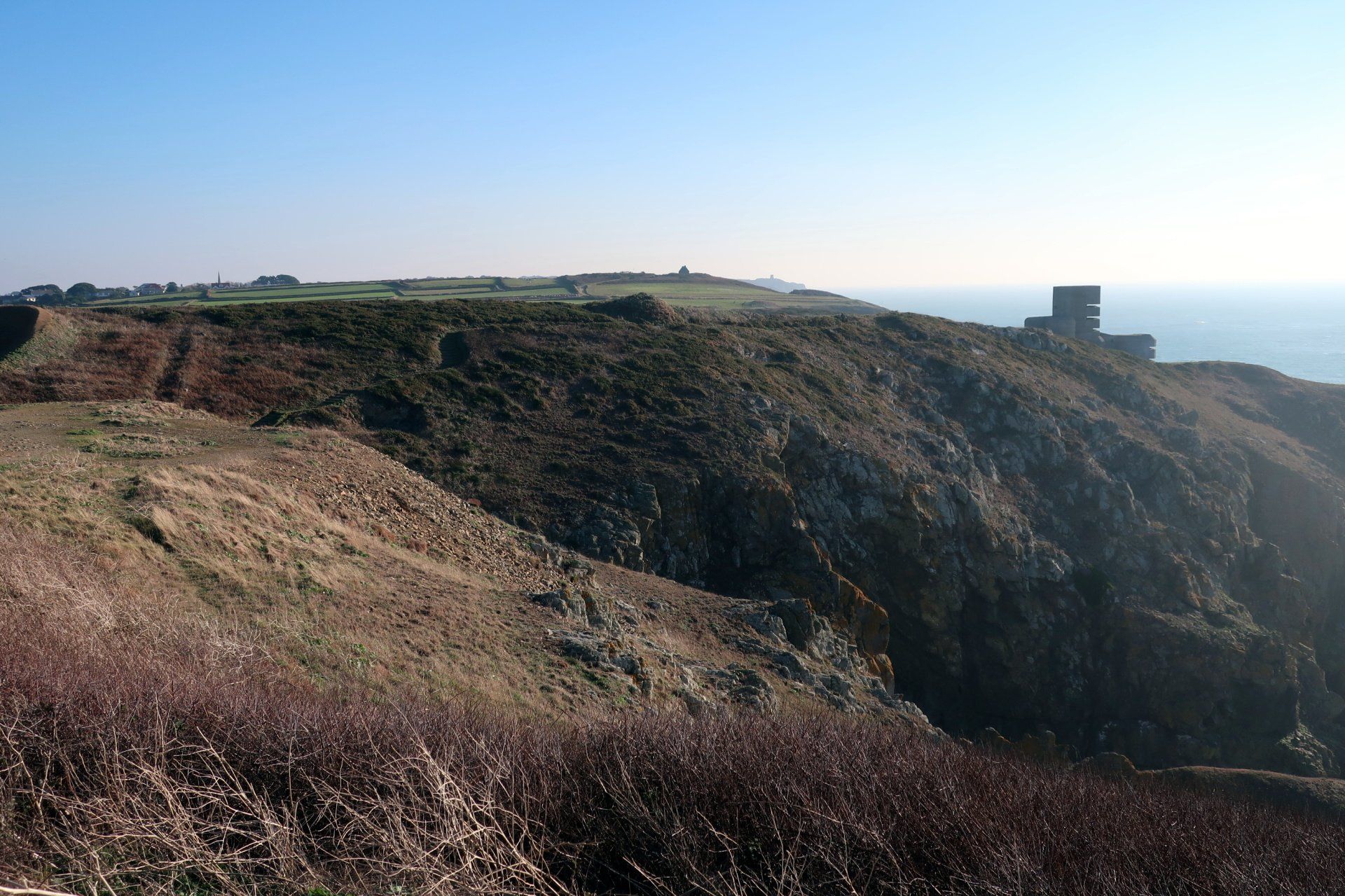
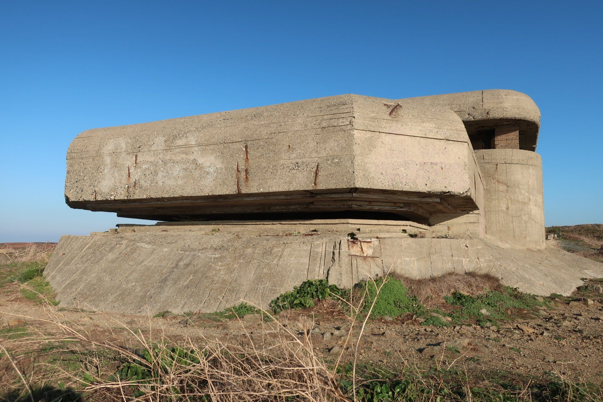
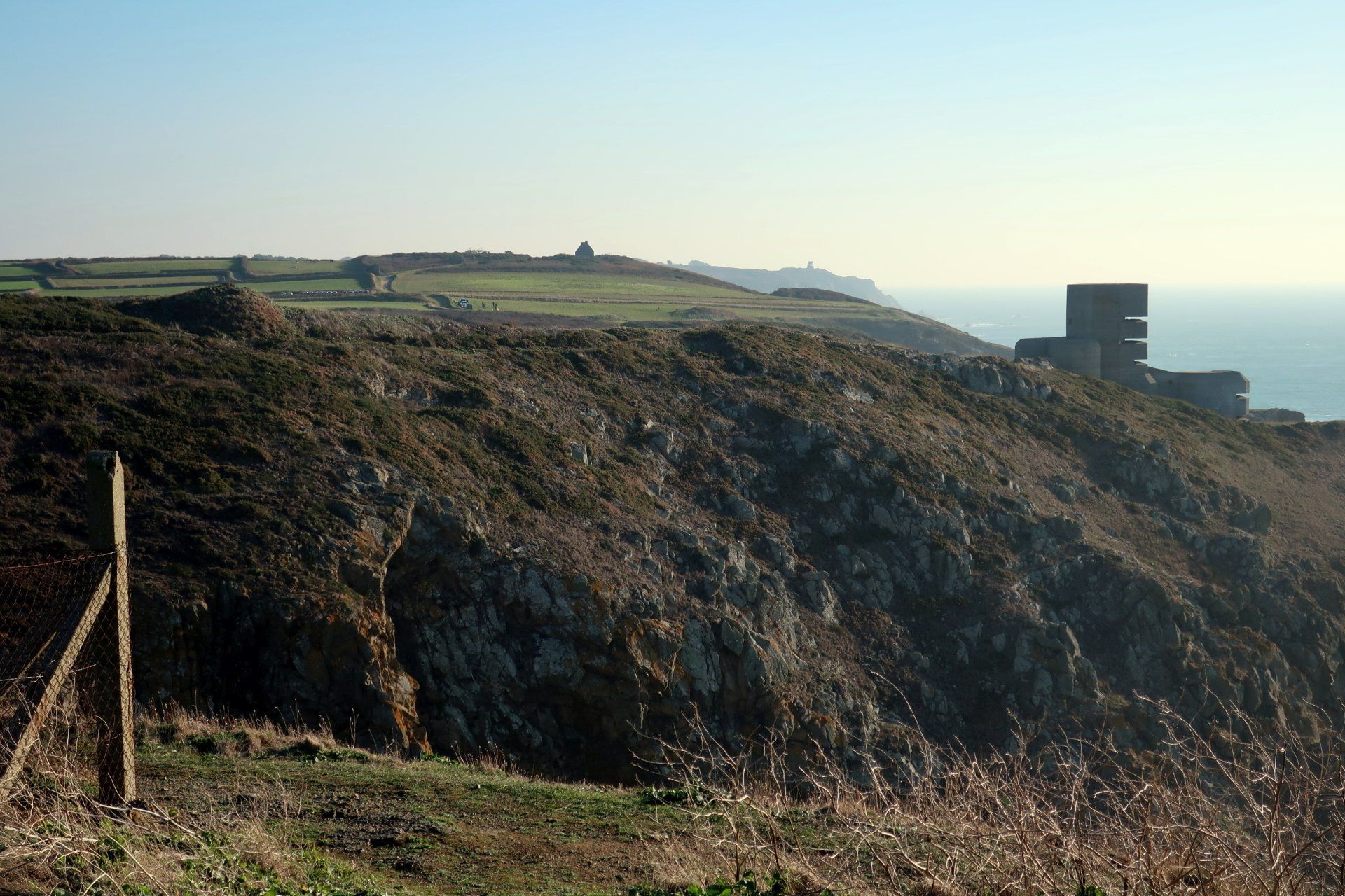
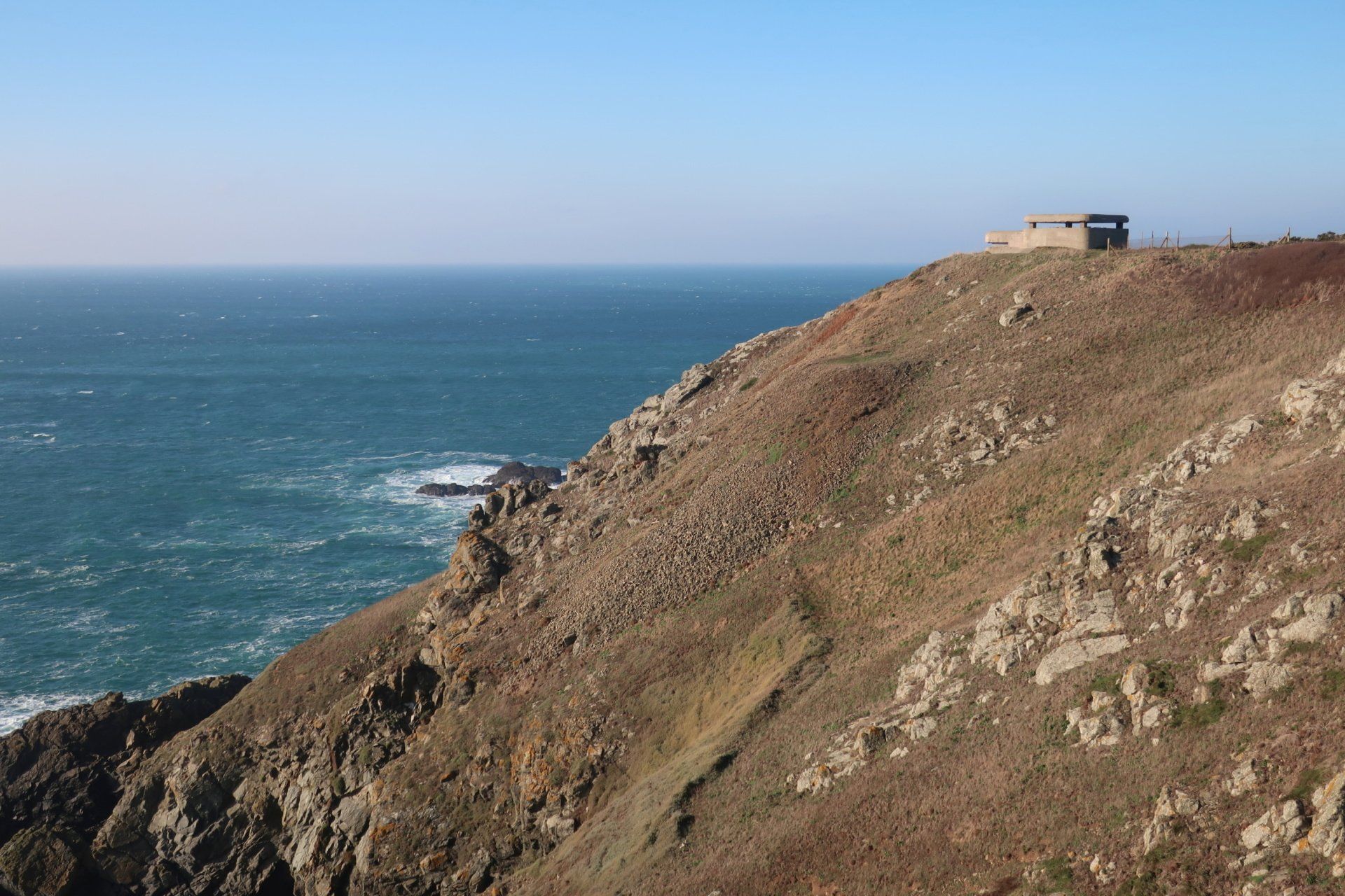
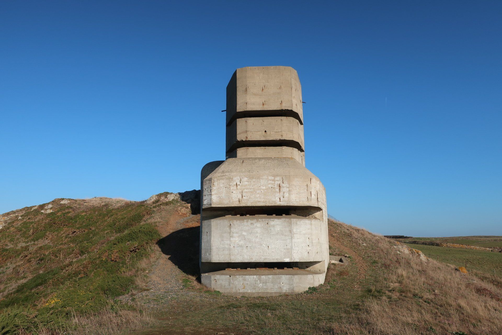
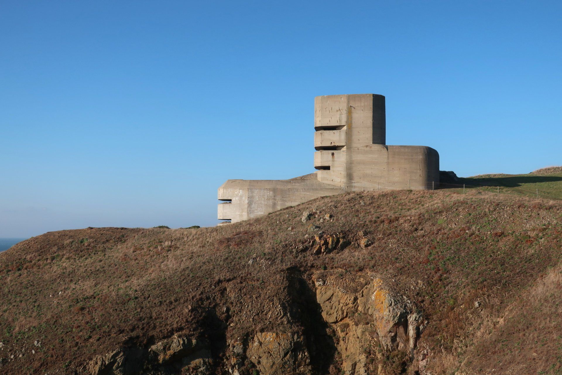
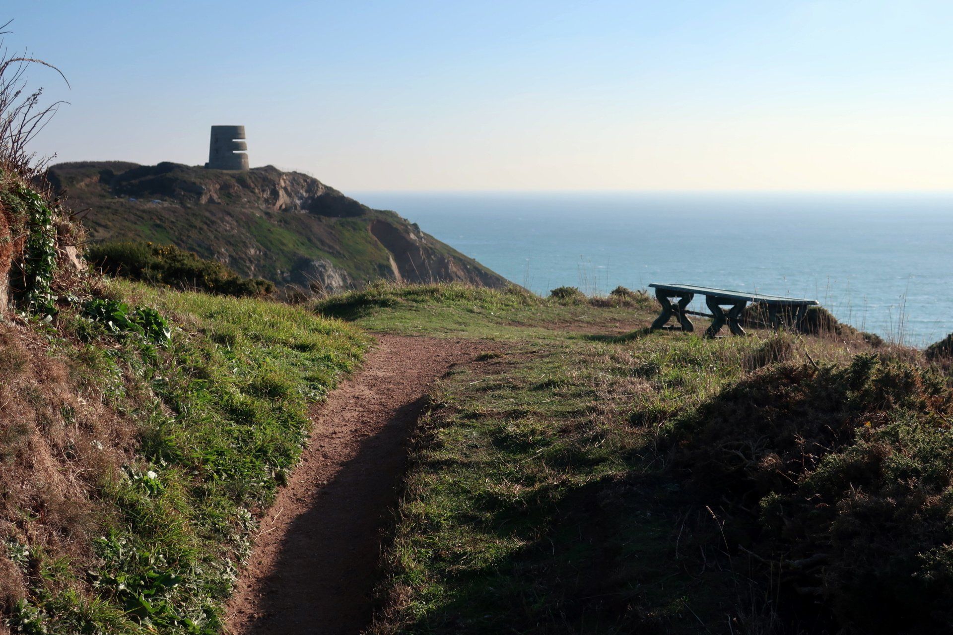
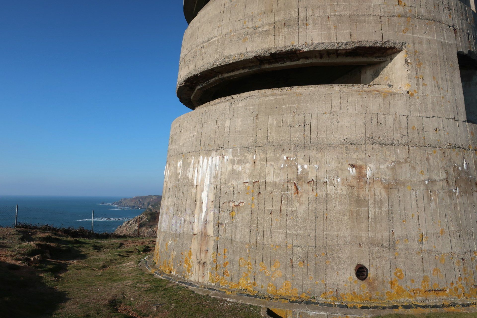
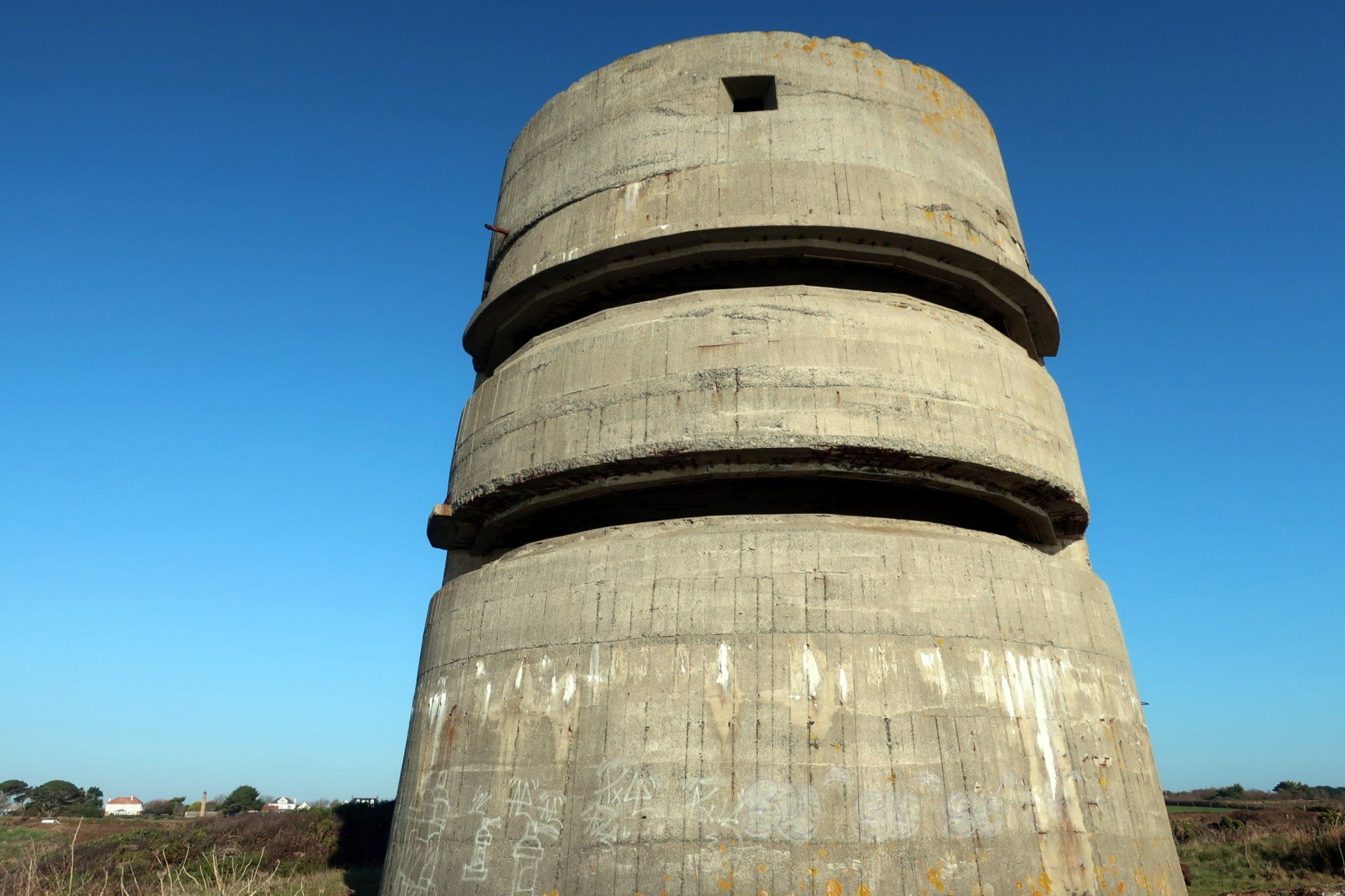
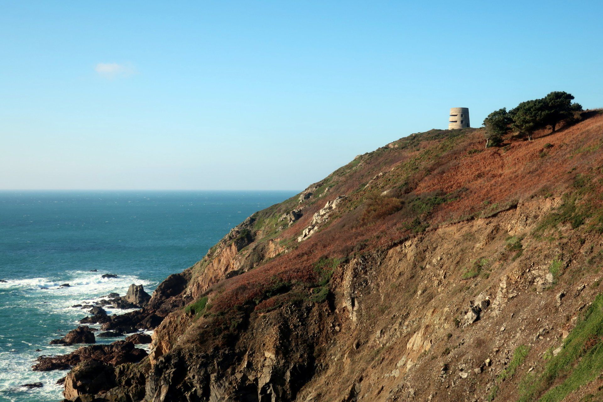
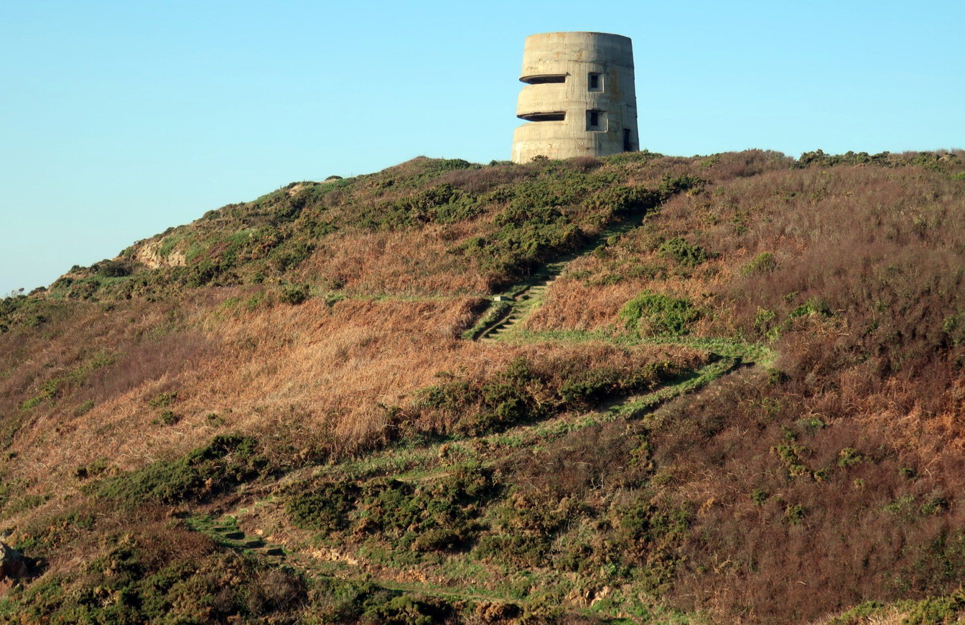
I continue along the path, now heading East along the coast. This general area is another featuring several WWII structures, consisting of bunkers/observation tower, a gun battery and a little further on a command bunker.
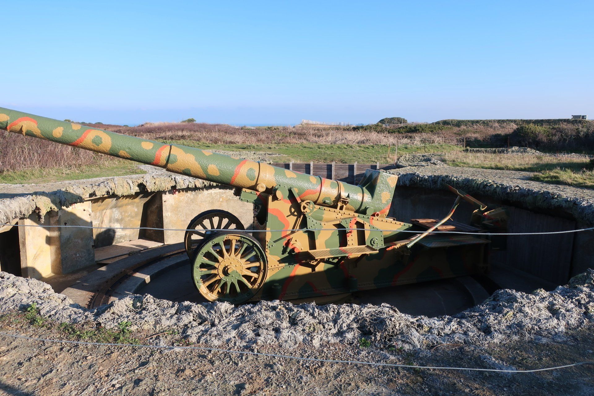
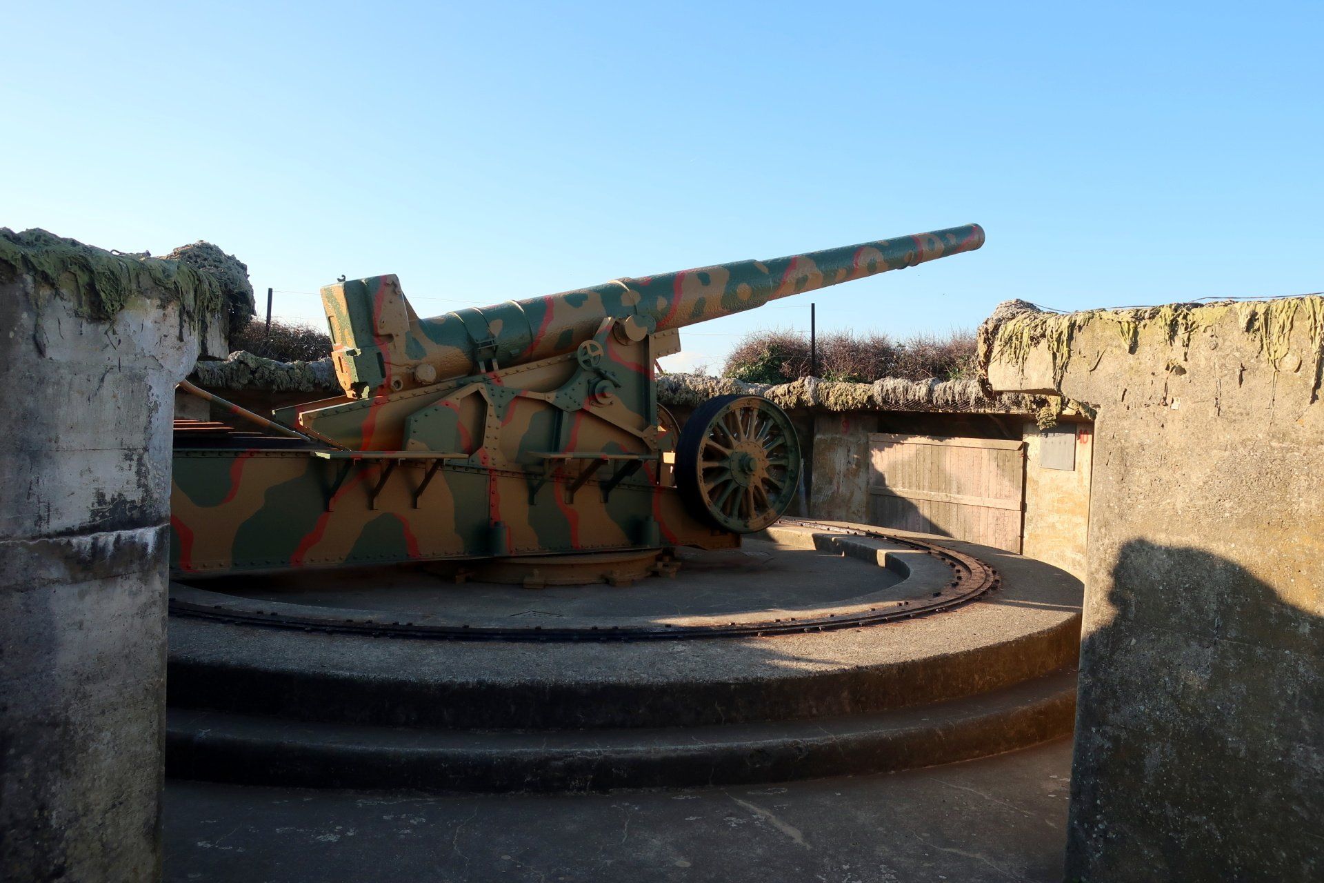
I have a wander into the gun site, this a restored gun forming part of the German heavy coastal artillery battery. The gun is still fired once a year around May to commemorate Liberation.
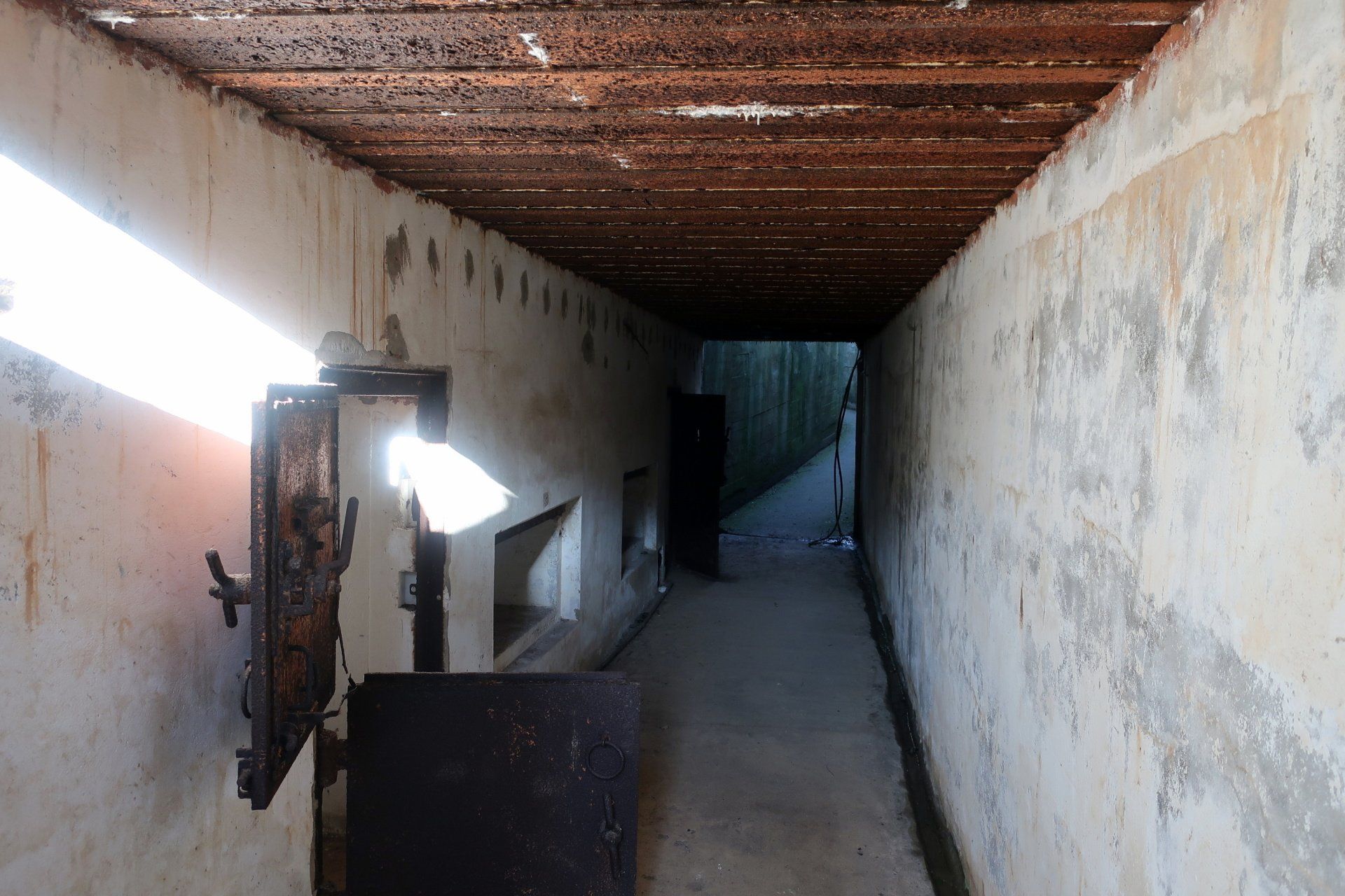
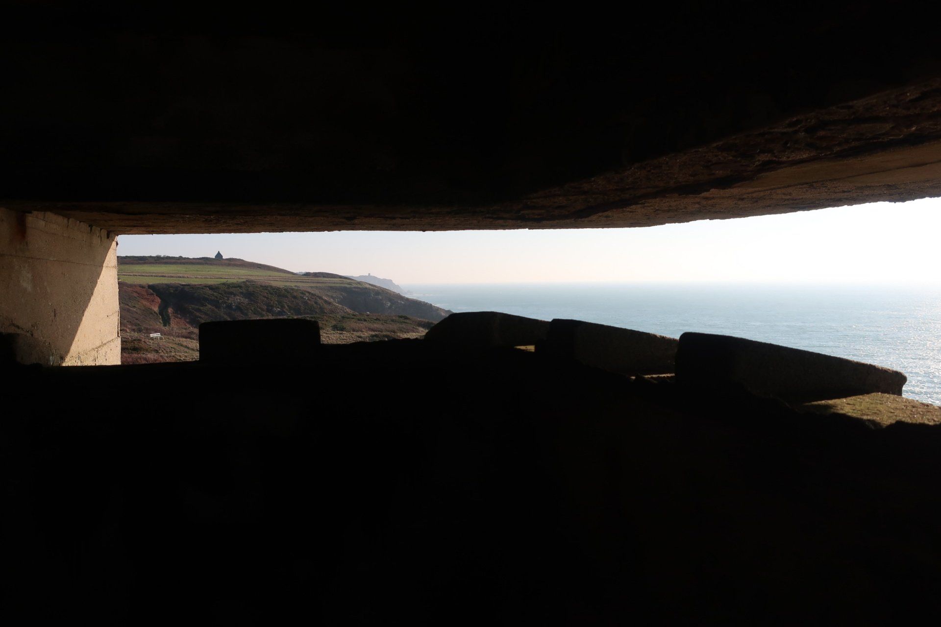
Other armaments making up the defences were field guns, machine guns, mortars and searchlights, all of these overseen by the command bunker (MP4). I also enter this, from the outside a large concrete mass, but inside feeling confined. It is abandoned but negotiable with care and I go down 2 levels and then return to start and up 2 levels, all these at one time housing operational and accommodation. It is hard to imagine being stationed here.
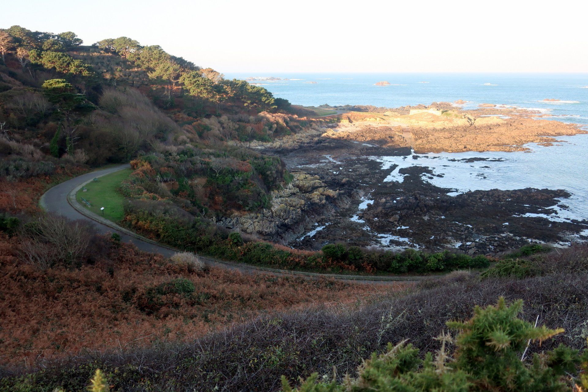
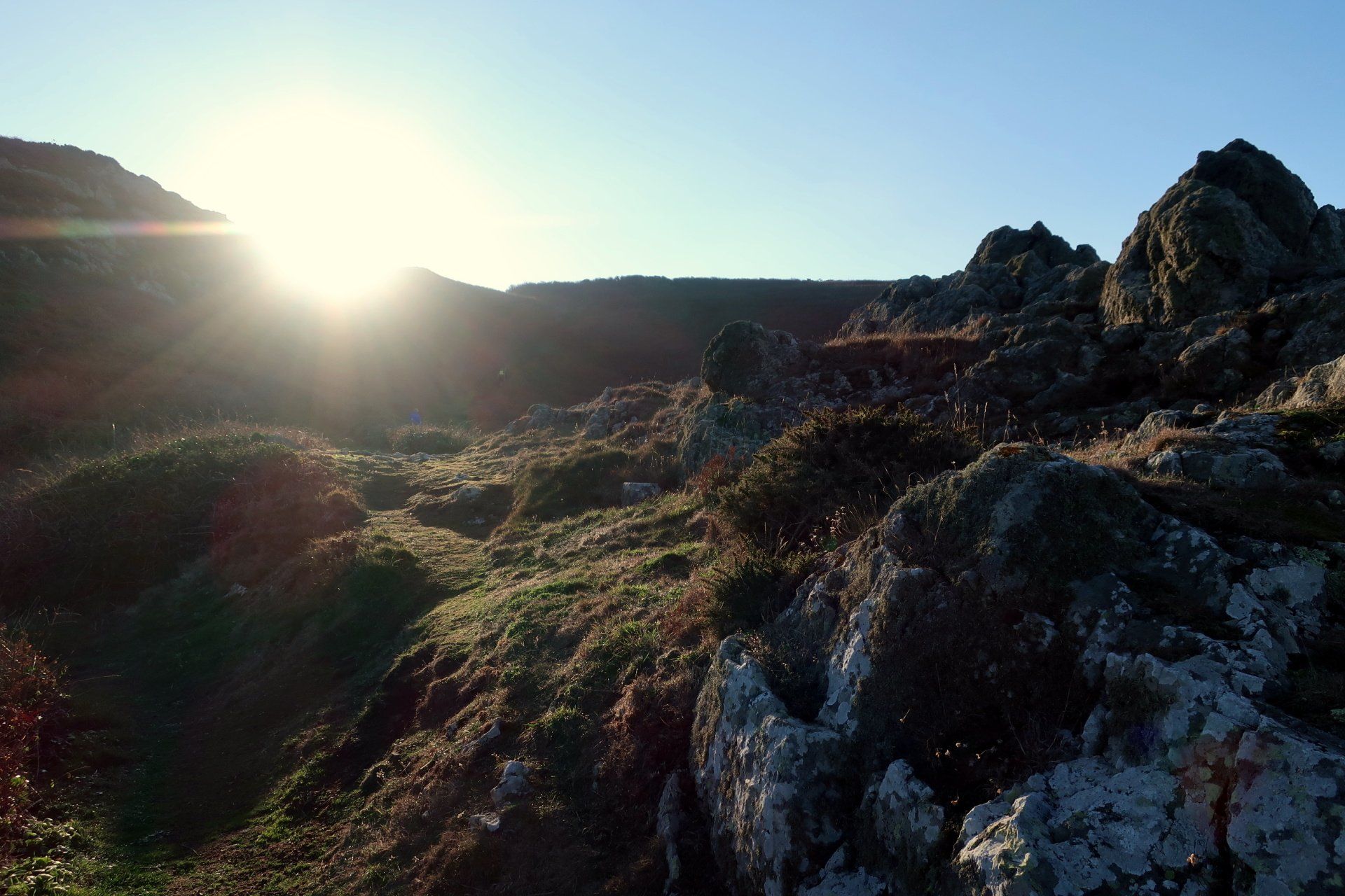
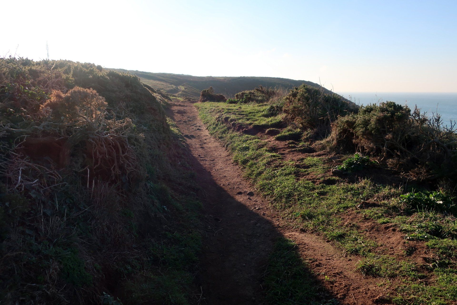
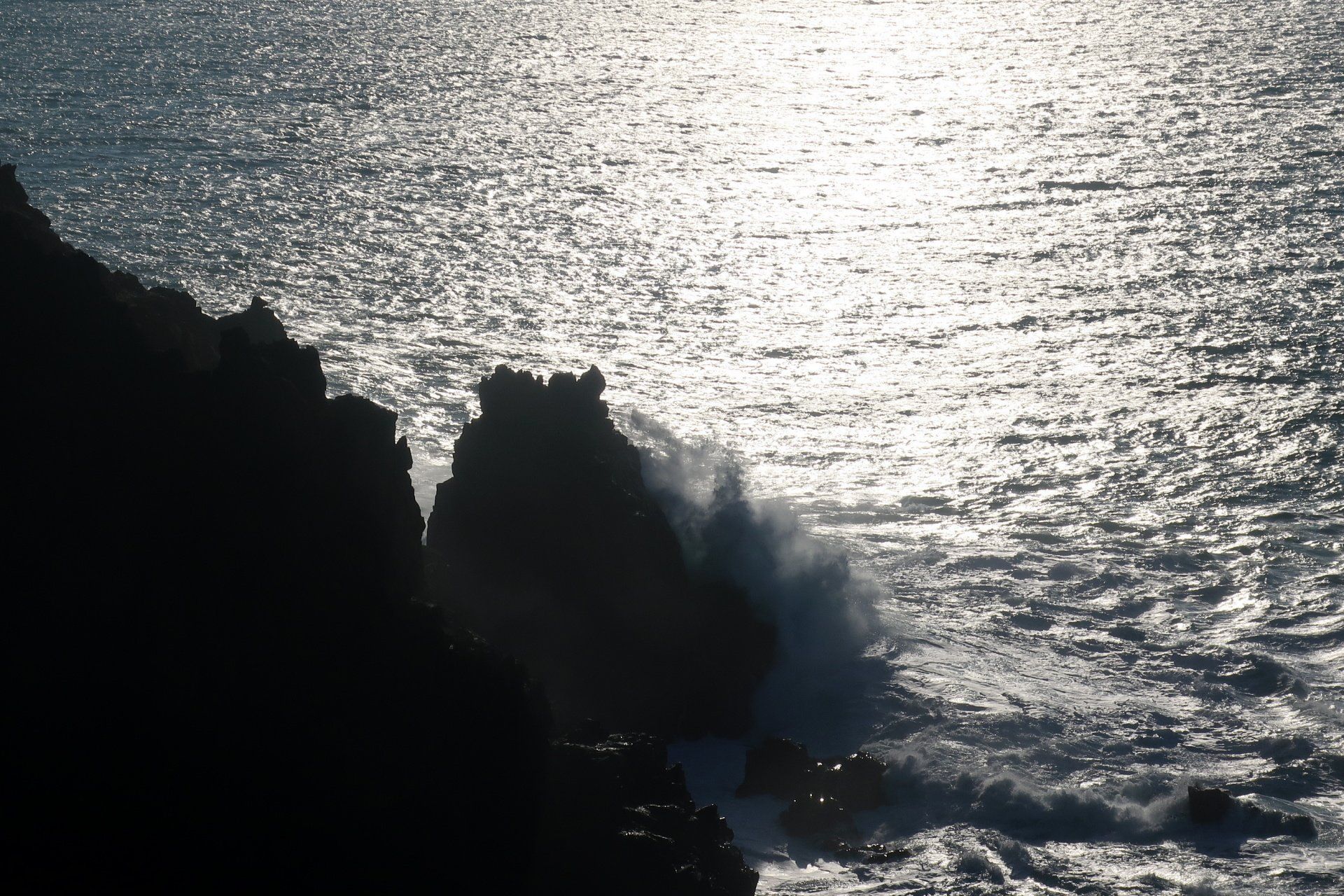
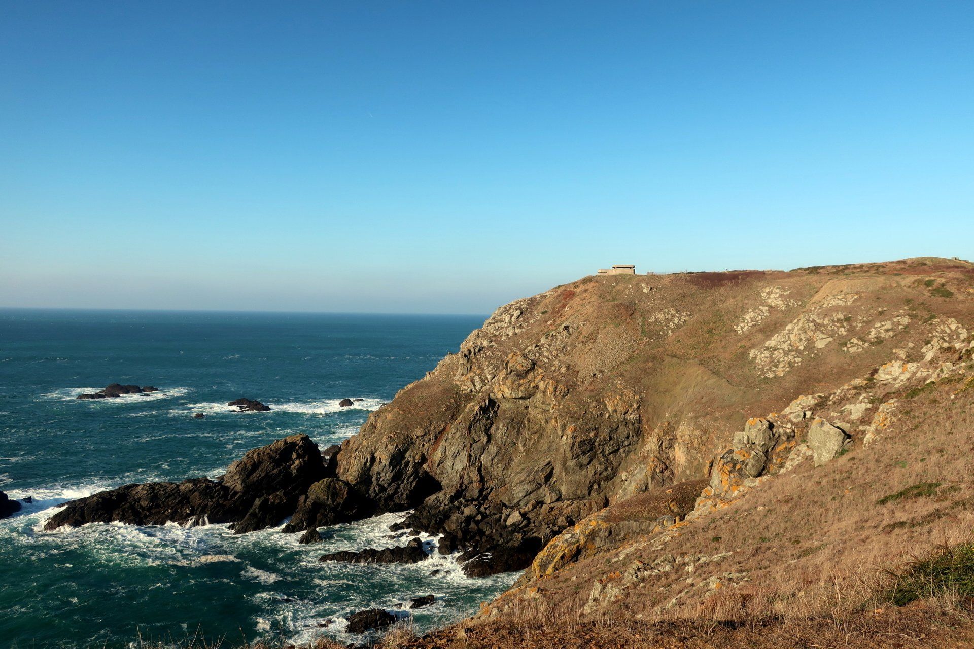
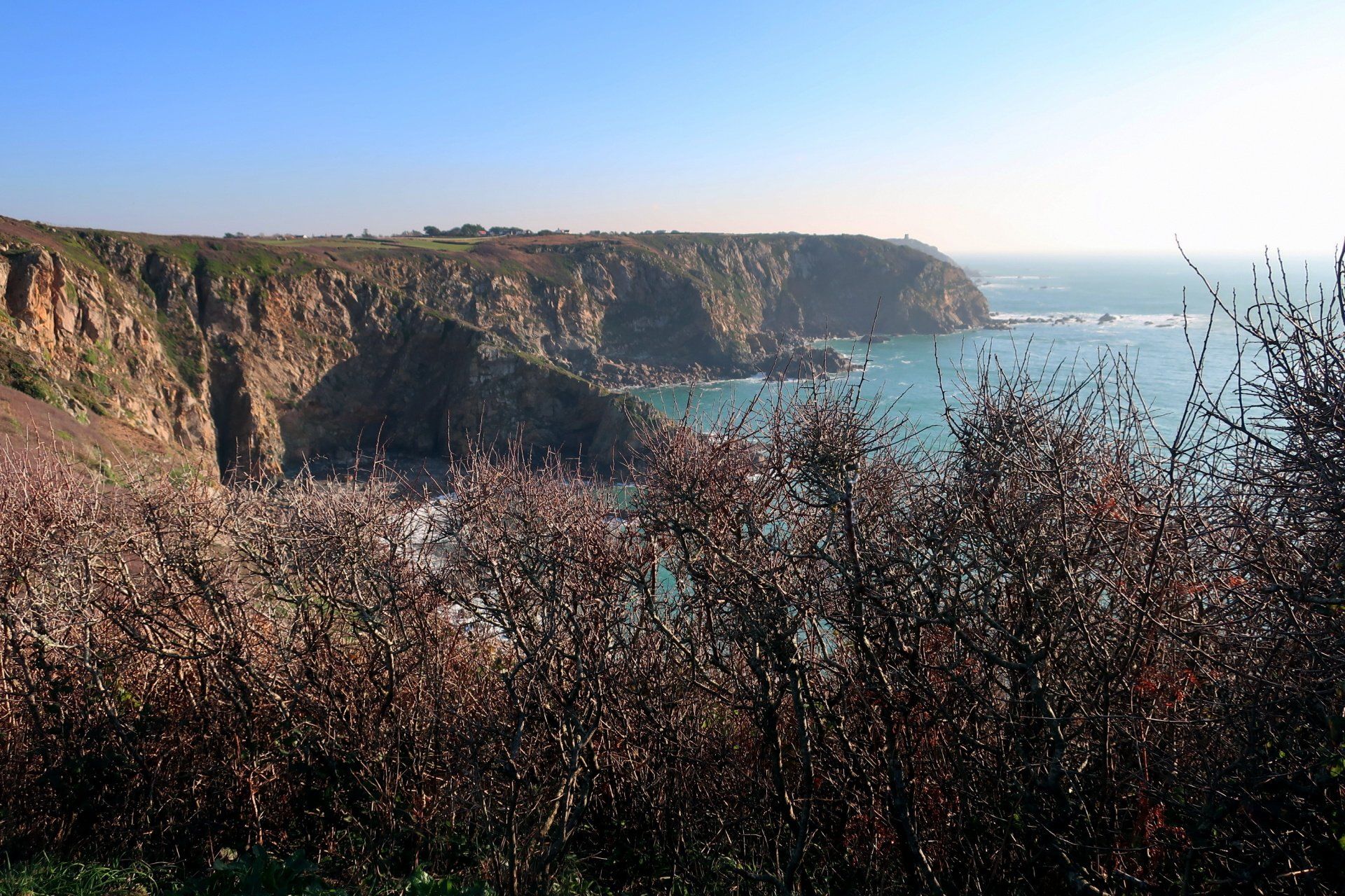
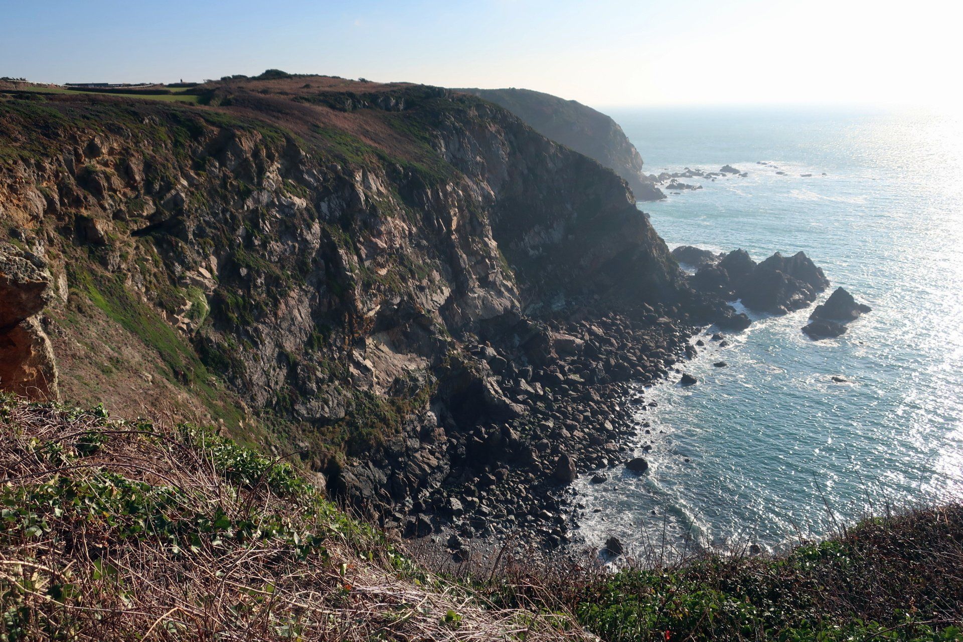
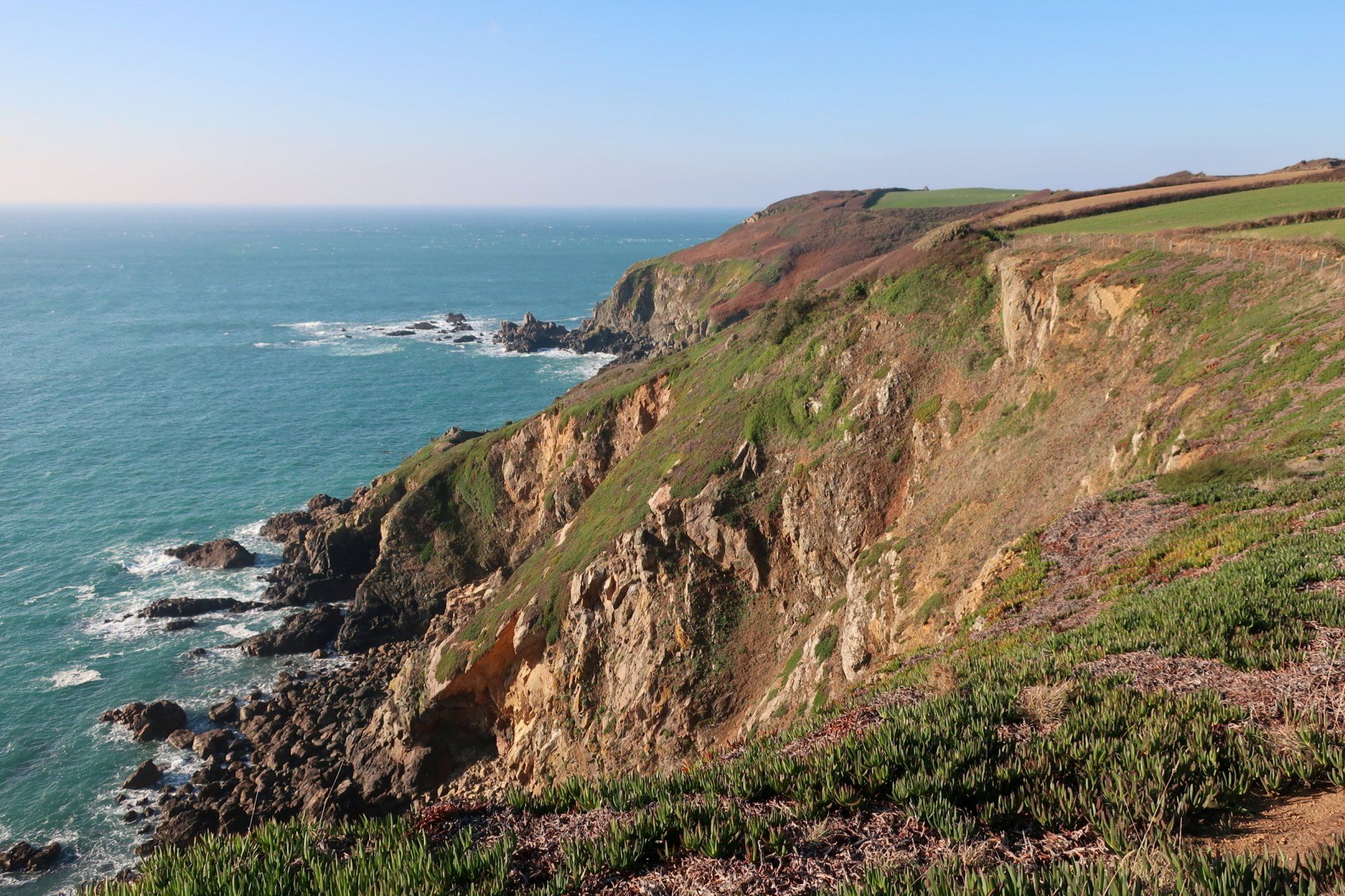
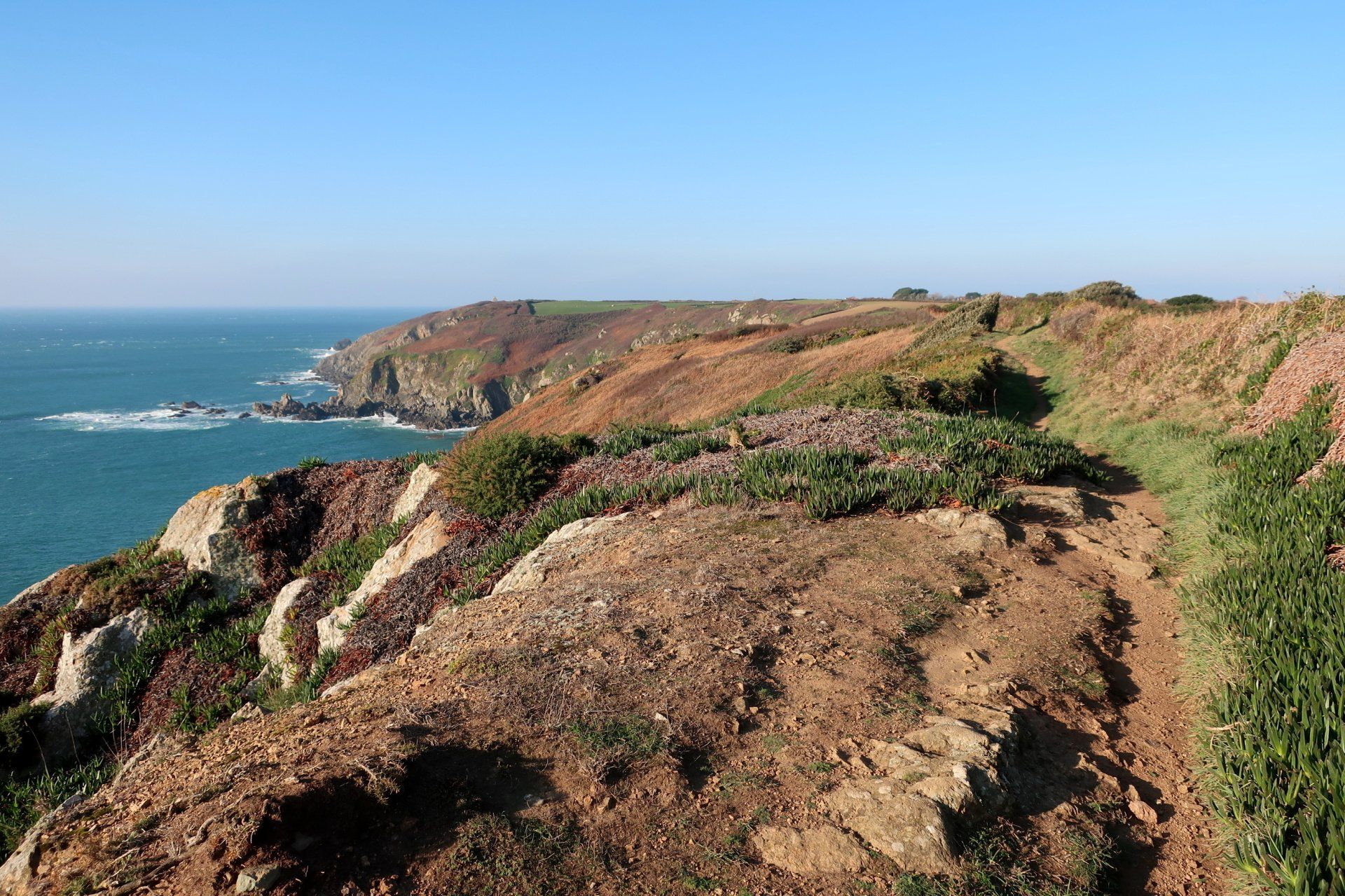
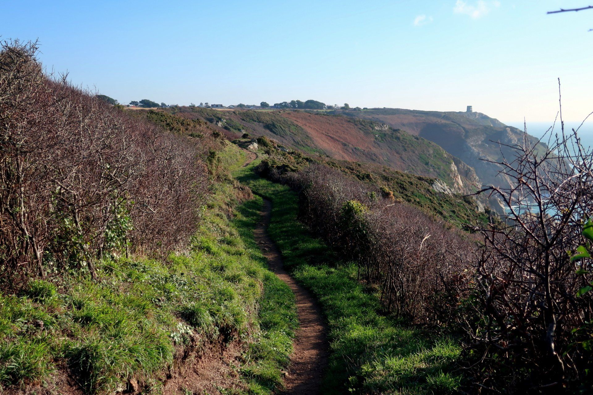
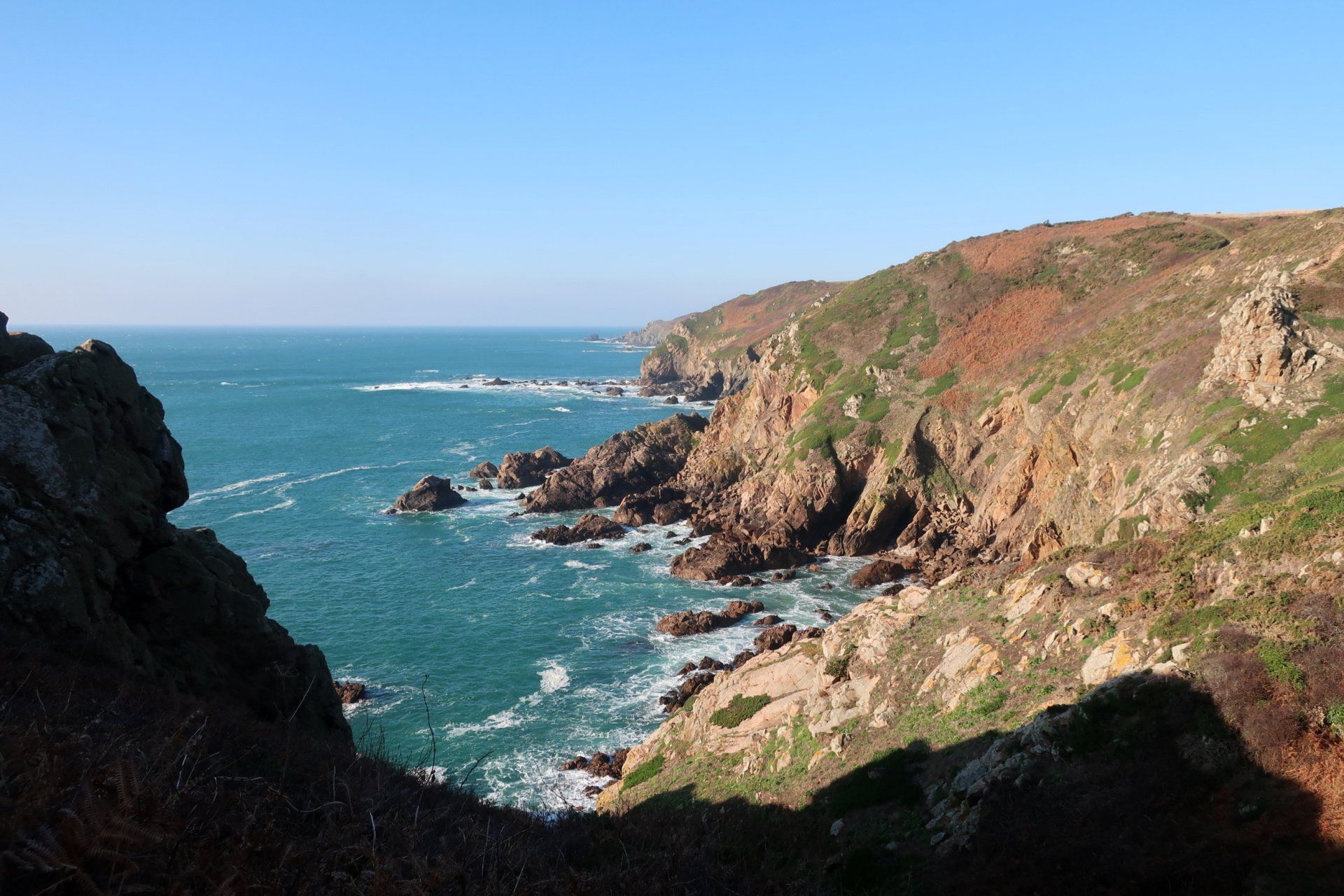
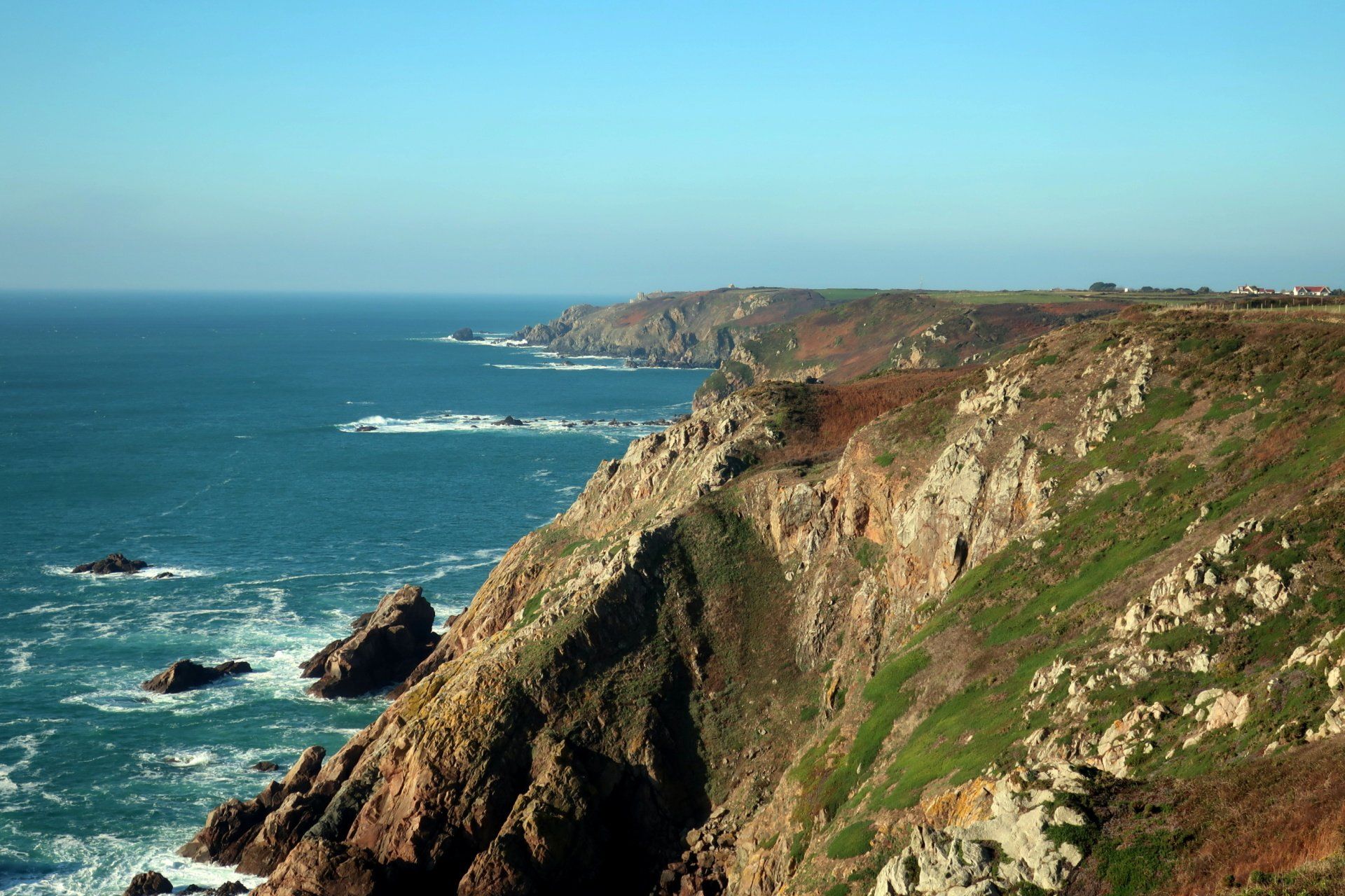
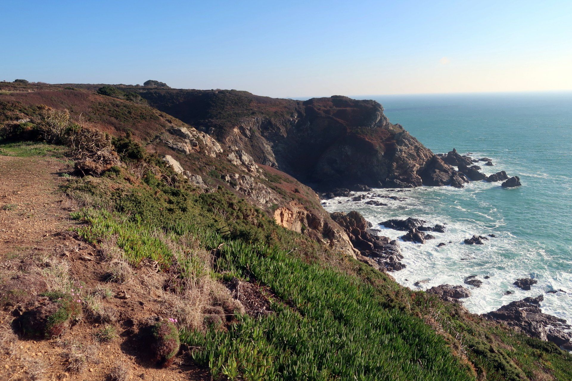
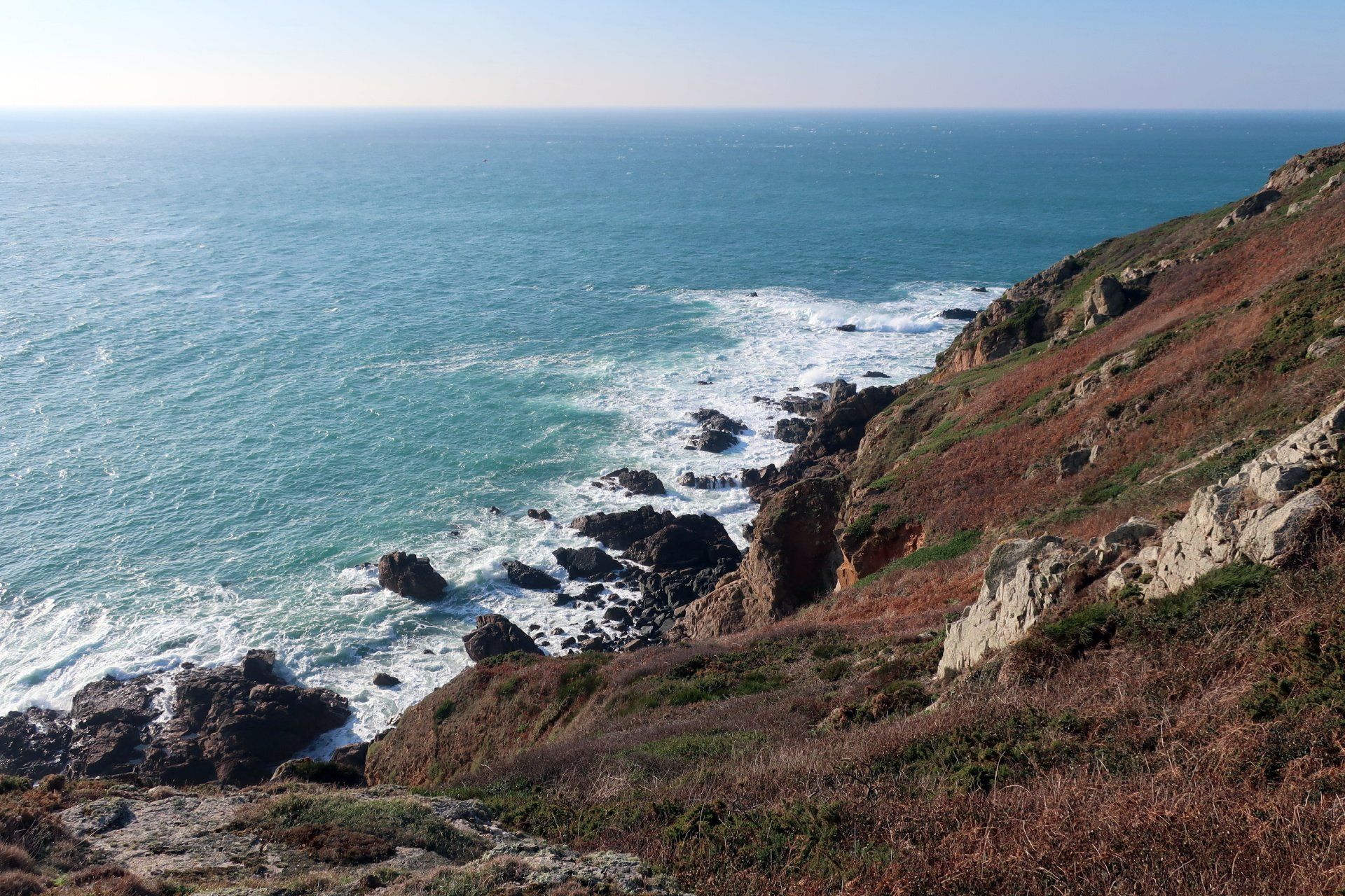
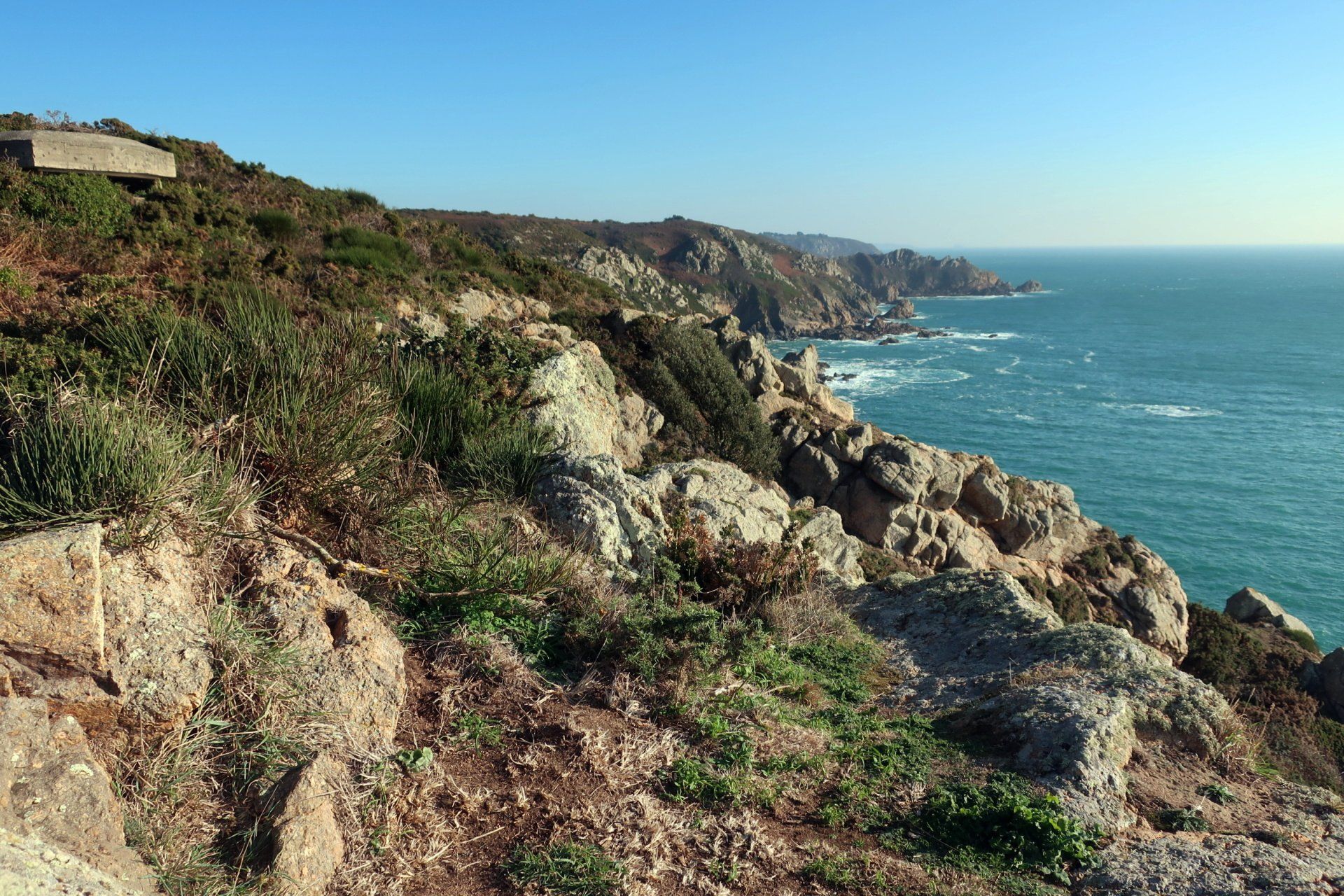
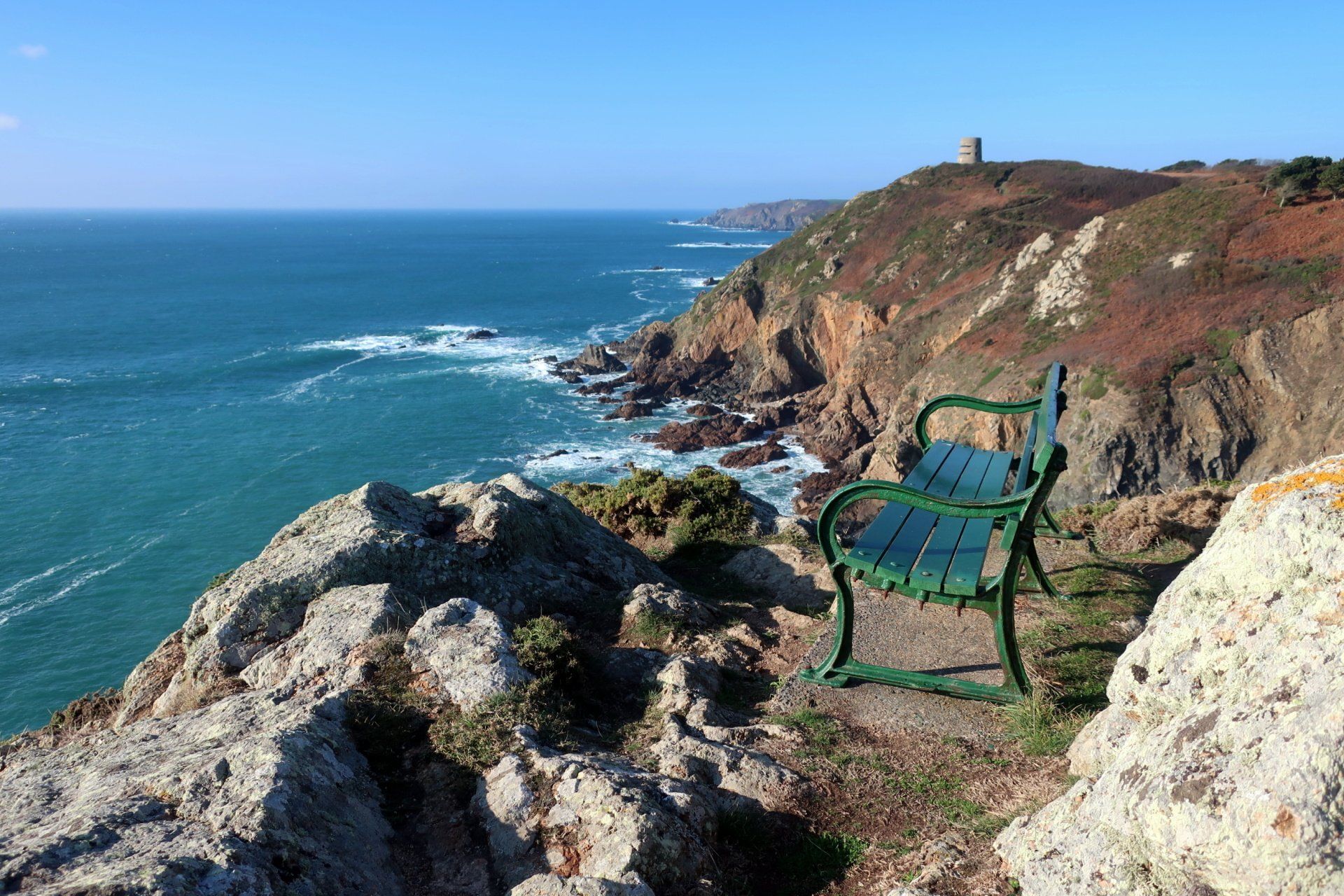
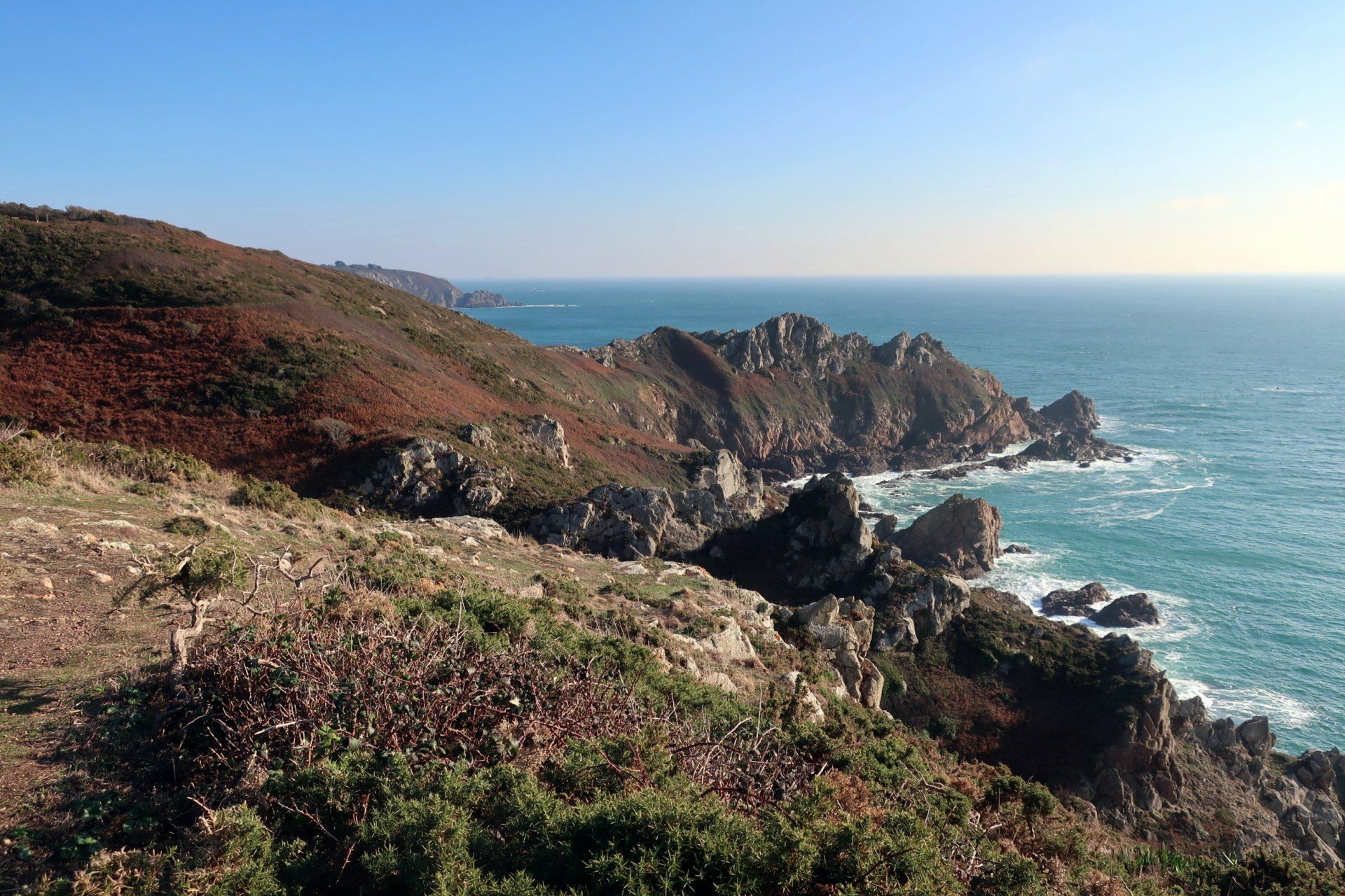
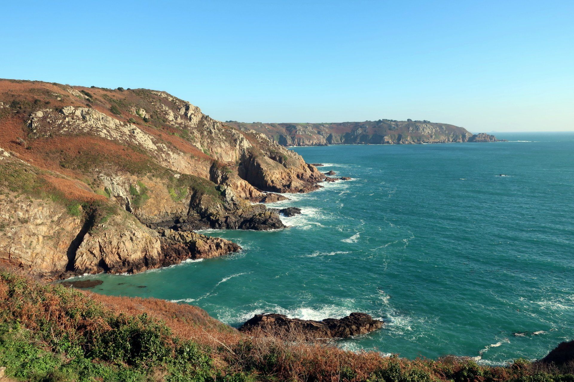
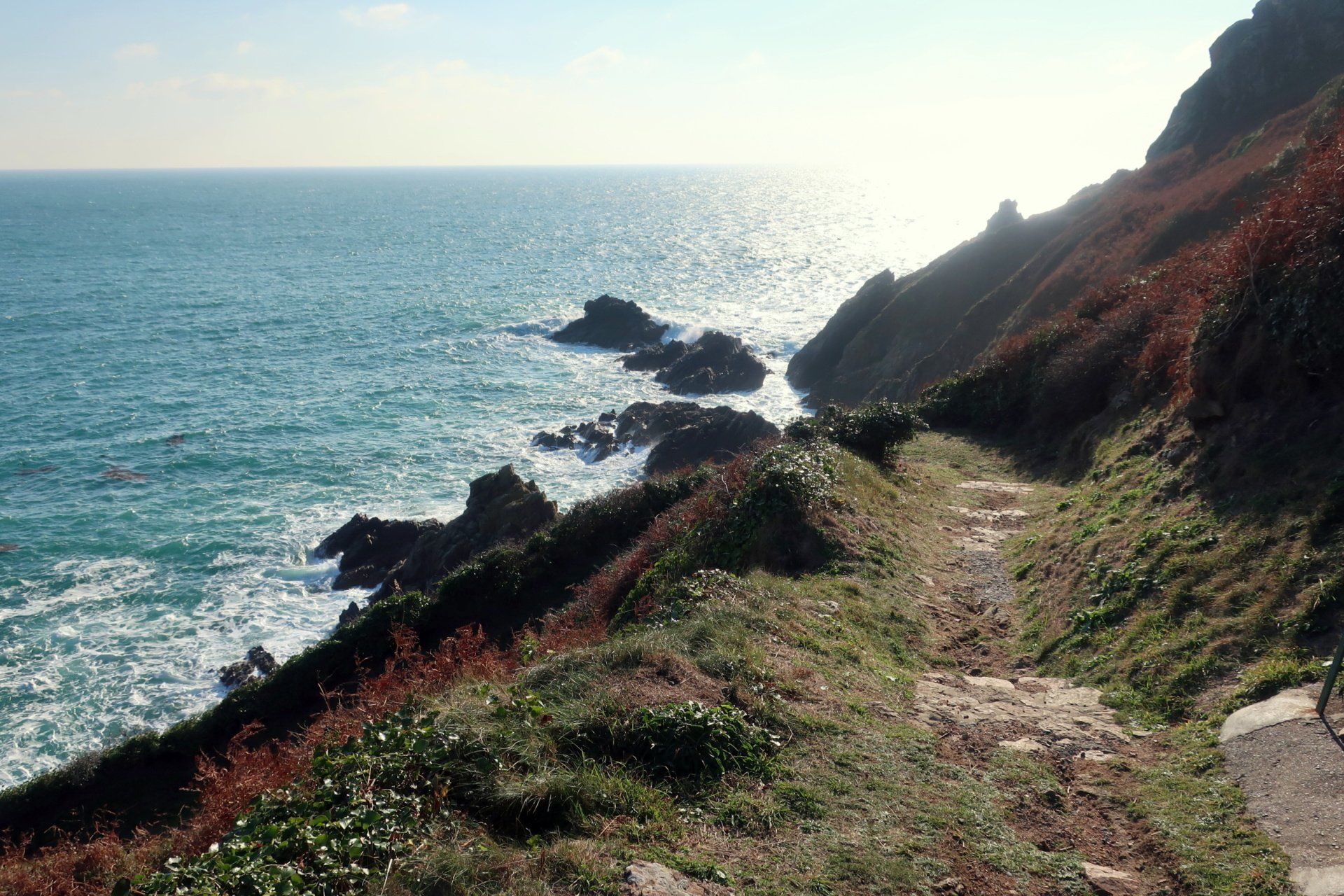
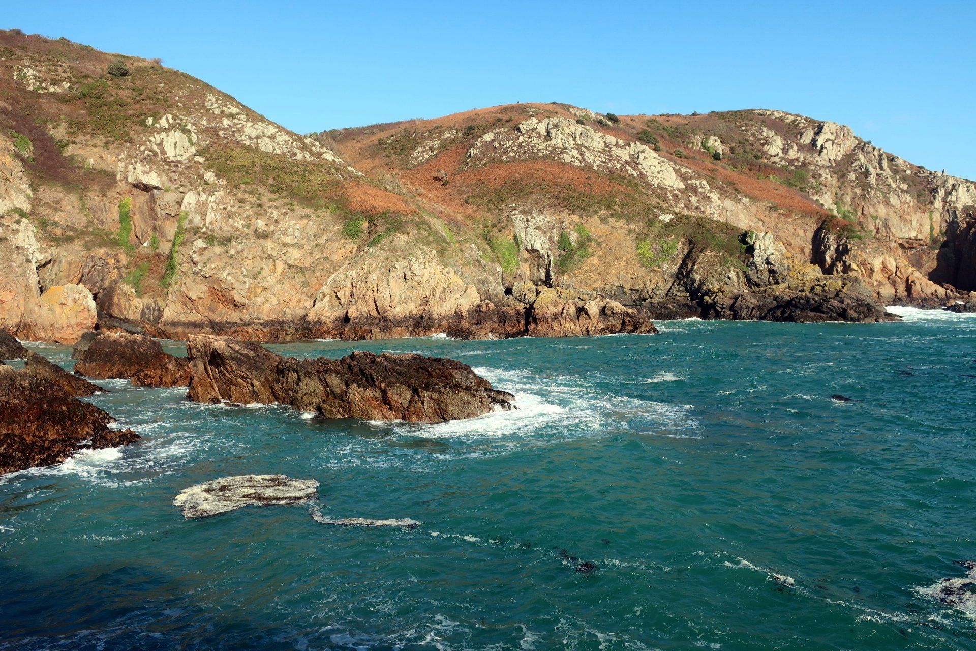
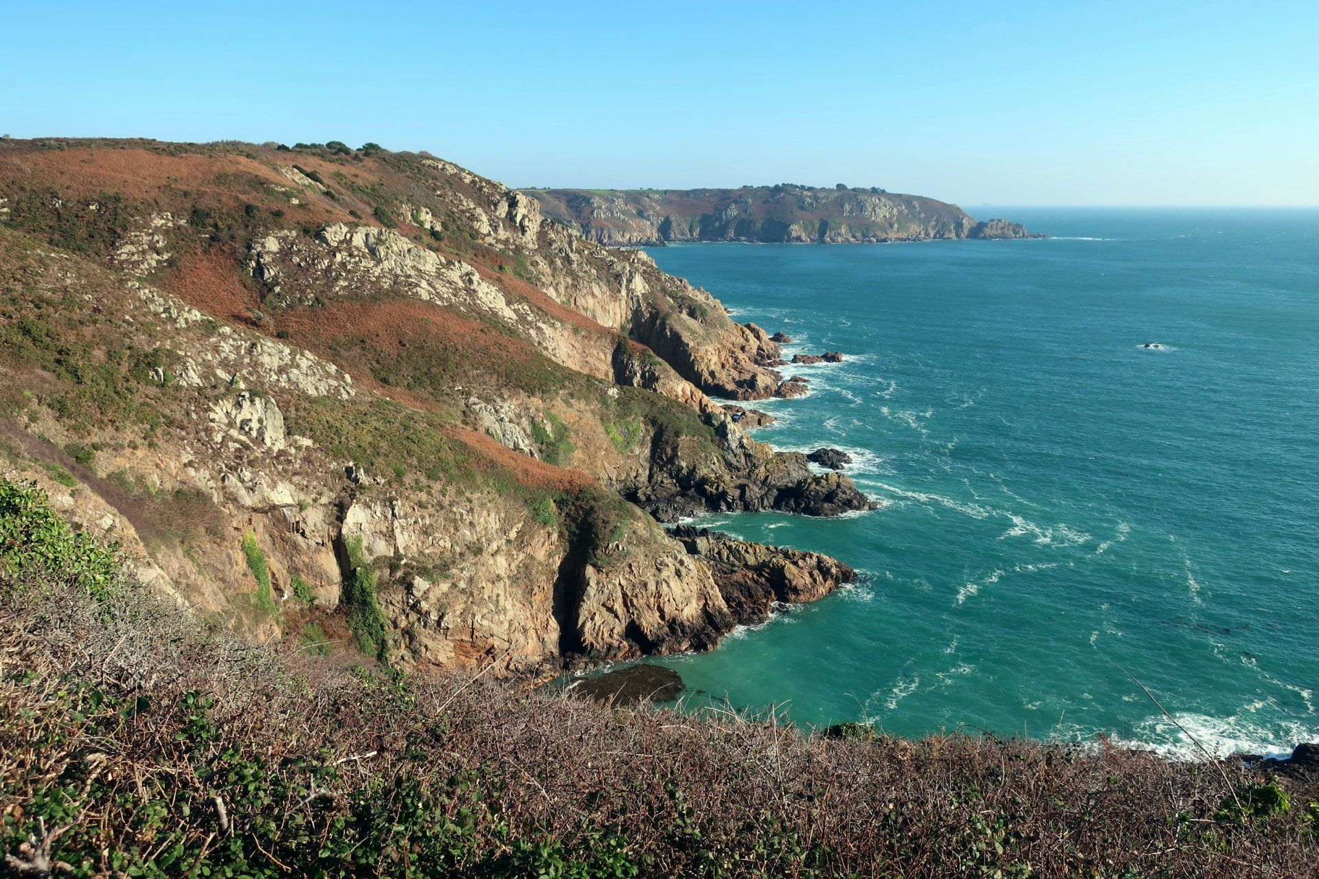
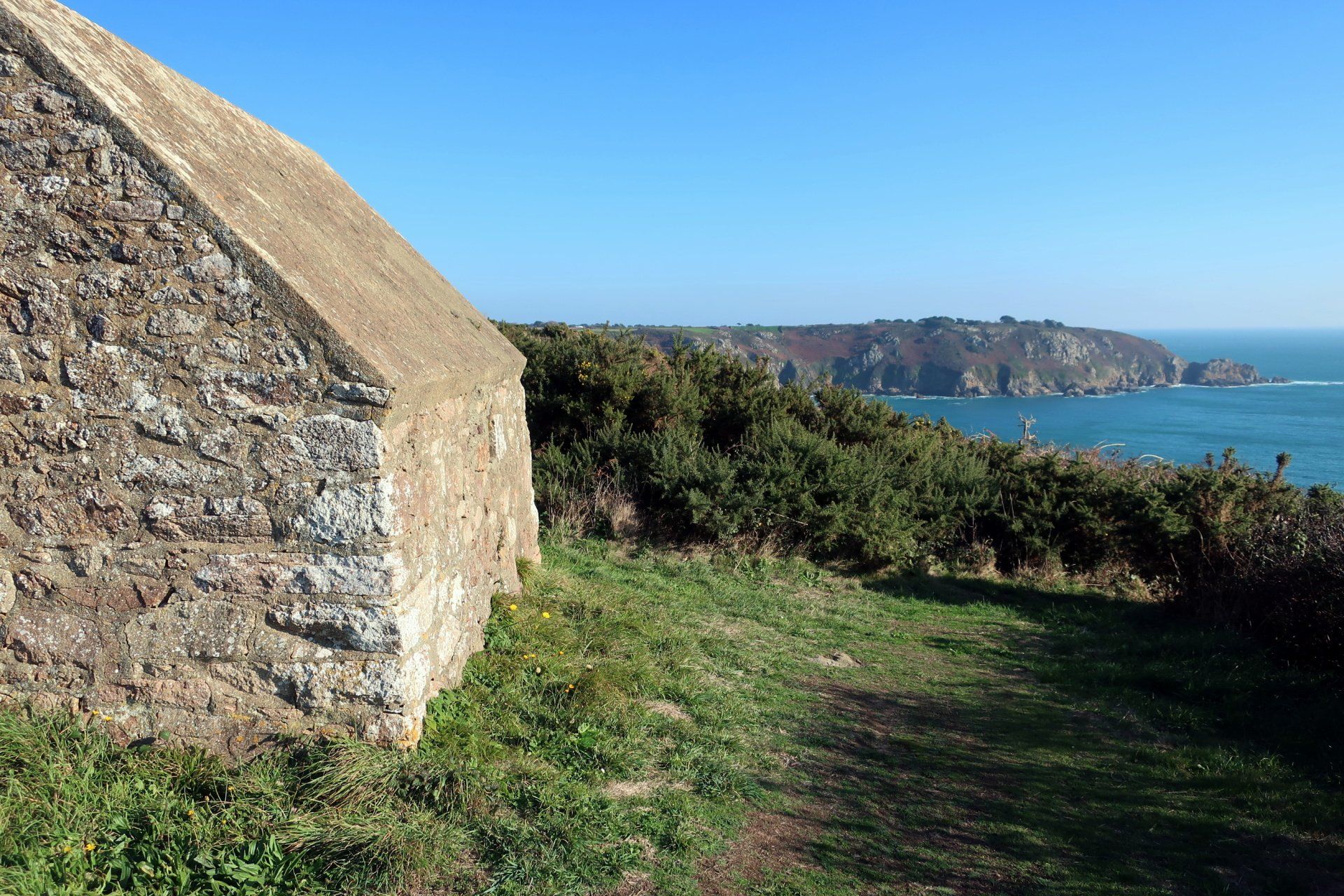
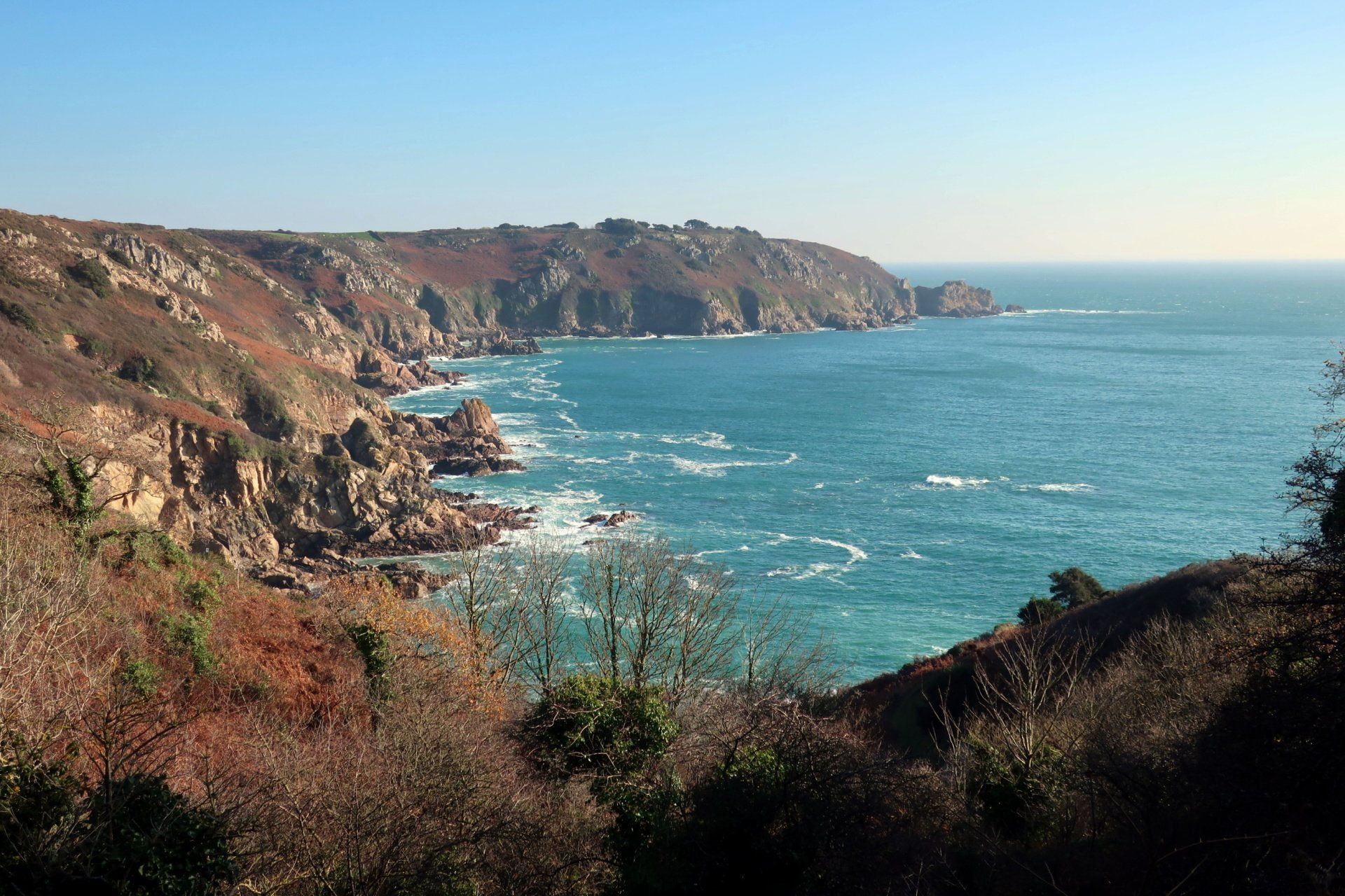
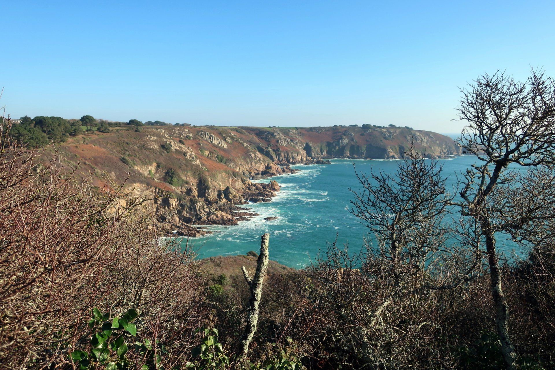
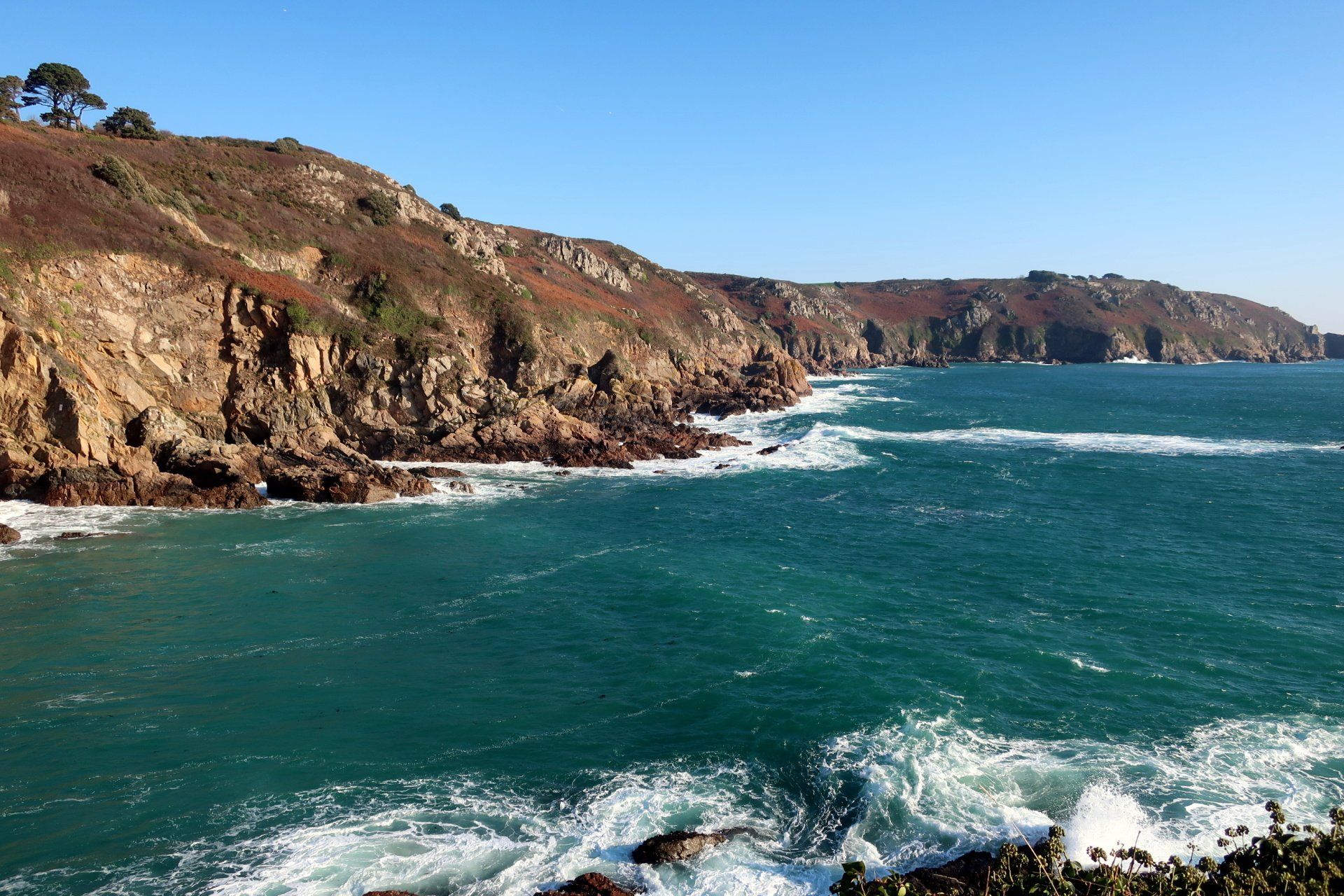
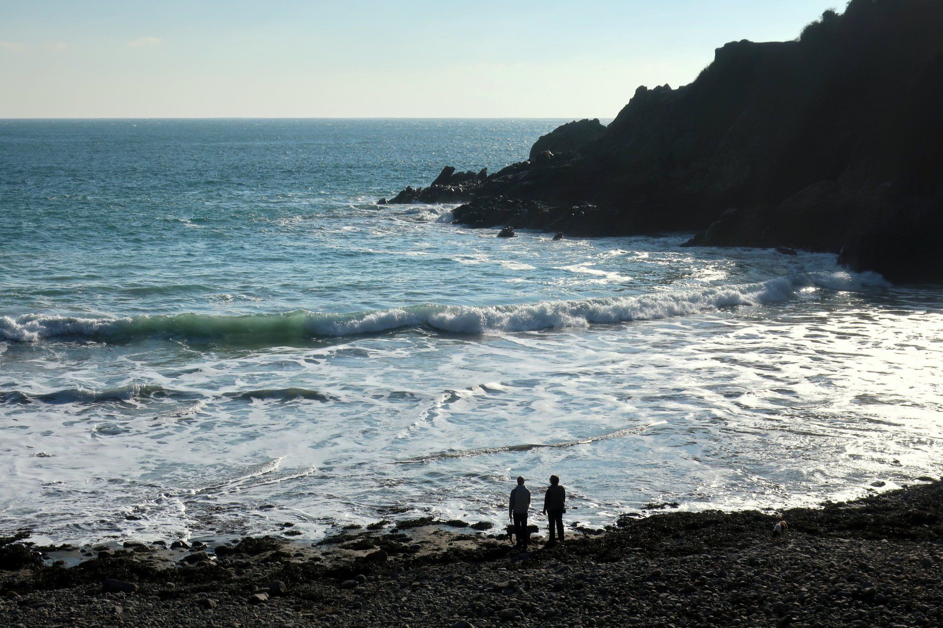
Outside of these man made items is of course the natural stuff. And what great stuff it is. Headlands, dipping down into valleys, the path snaking around, up, over and down, the sea ever present smashing into the rocks below. The sun lights up the scene, the low angle in this winter giving a bit of drama (although making photos a bit of a challenge!).
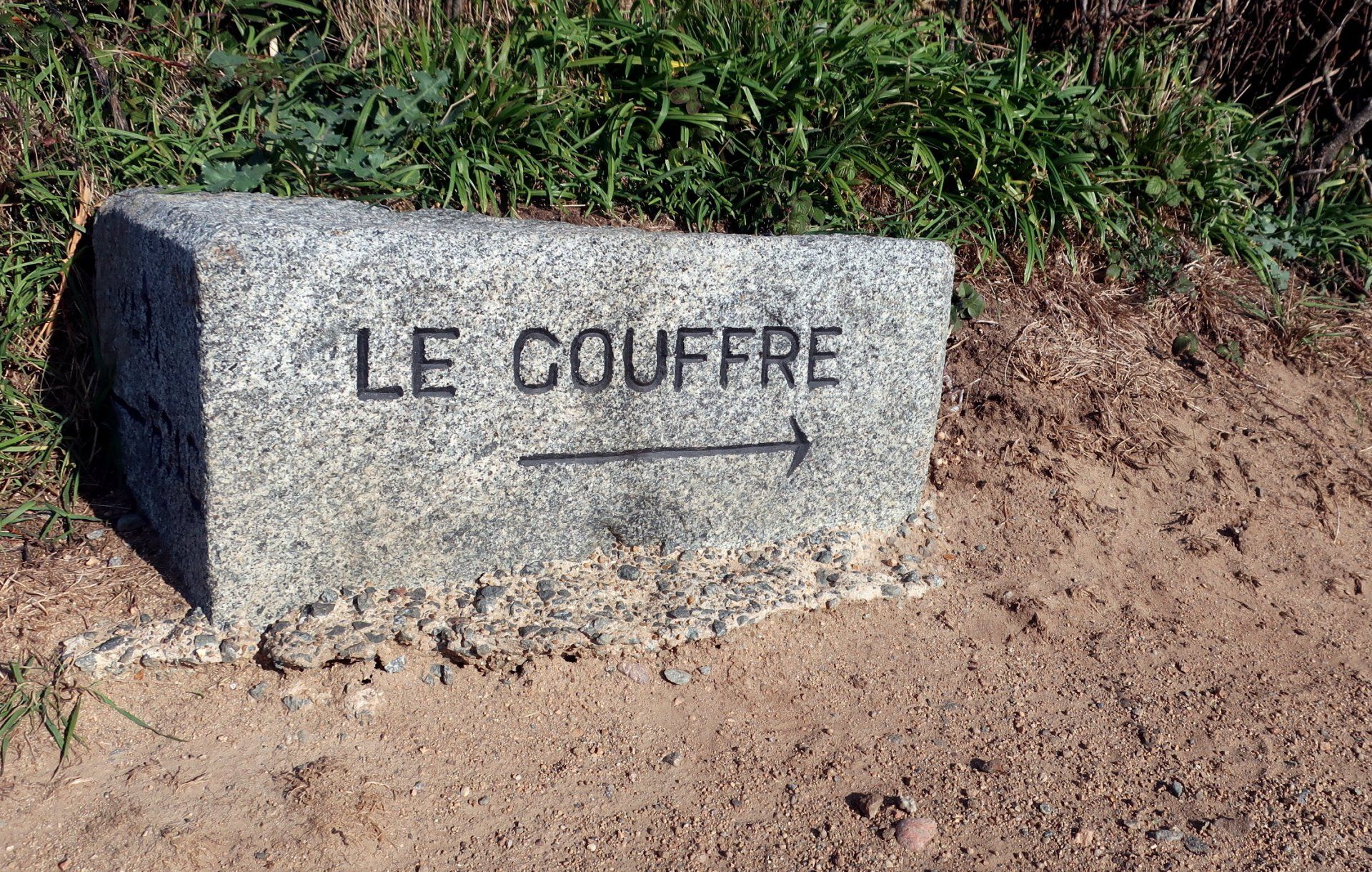
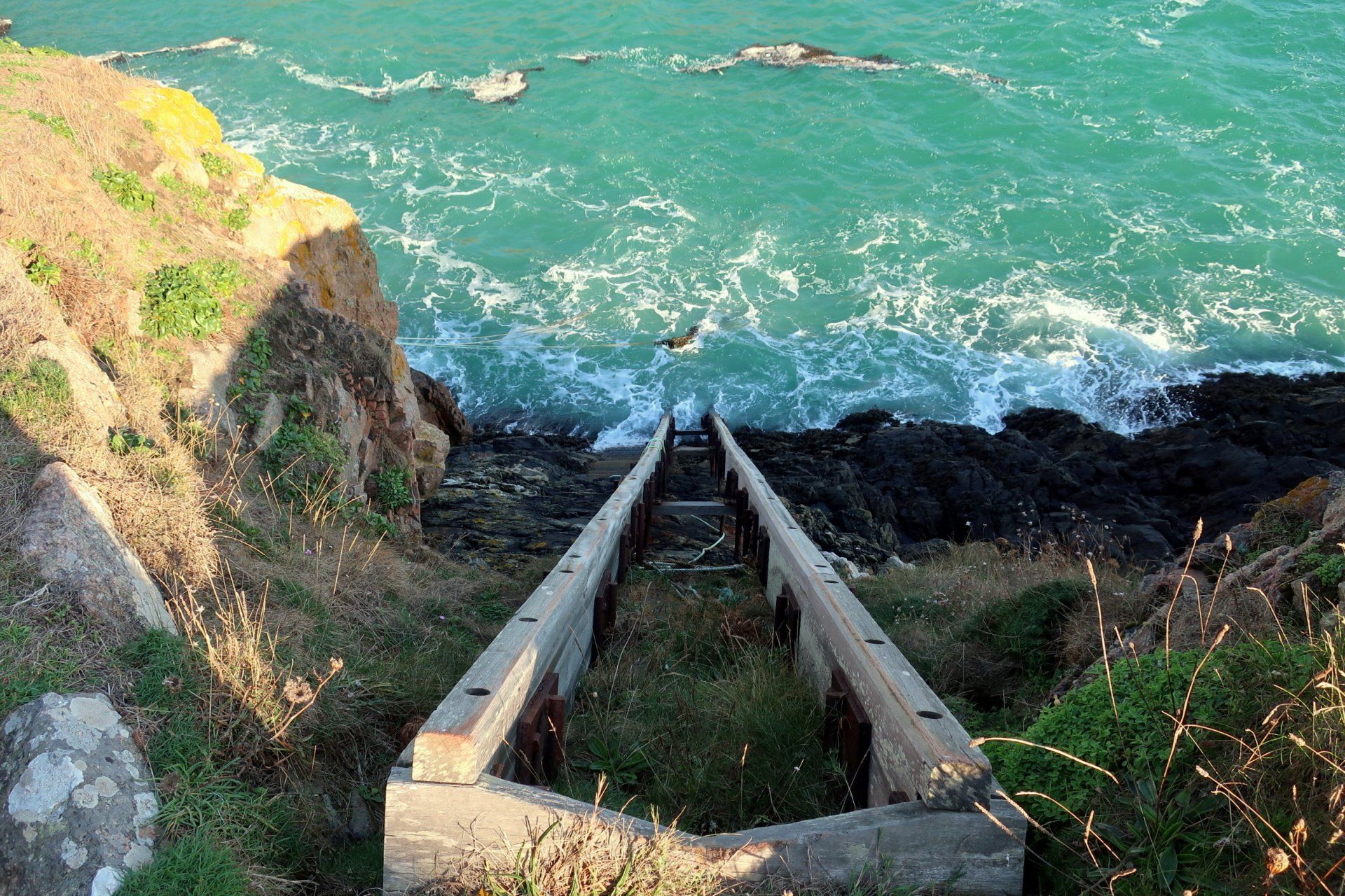
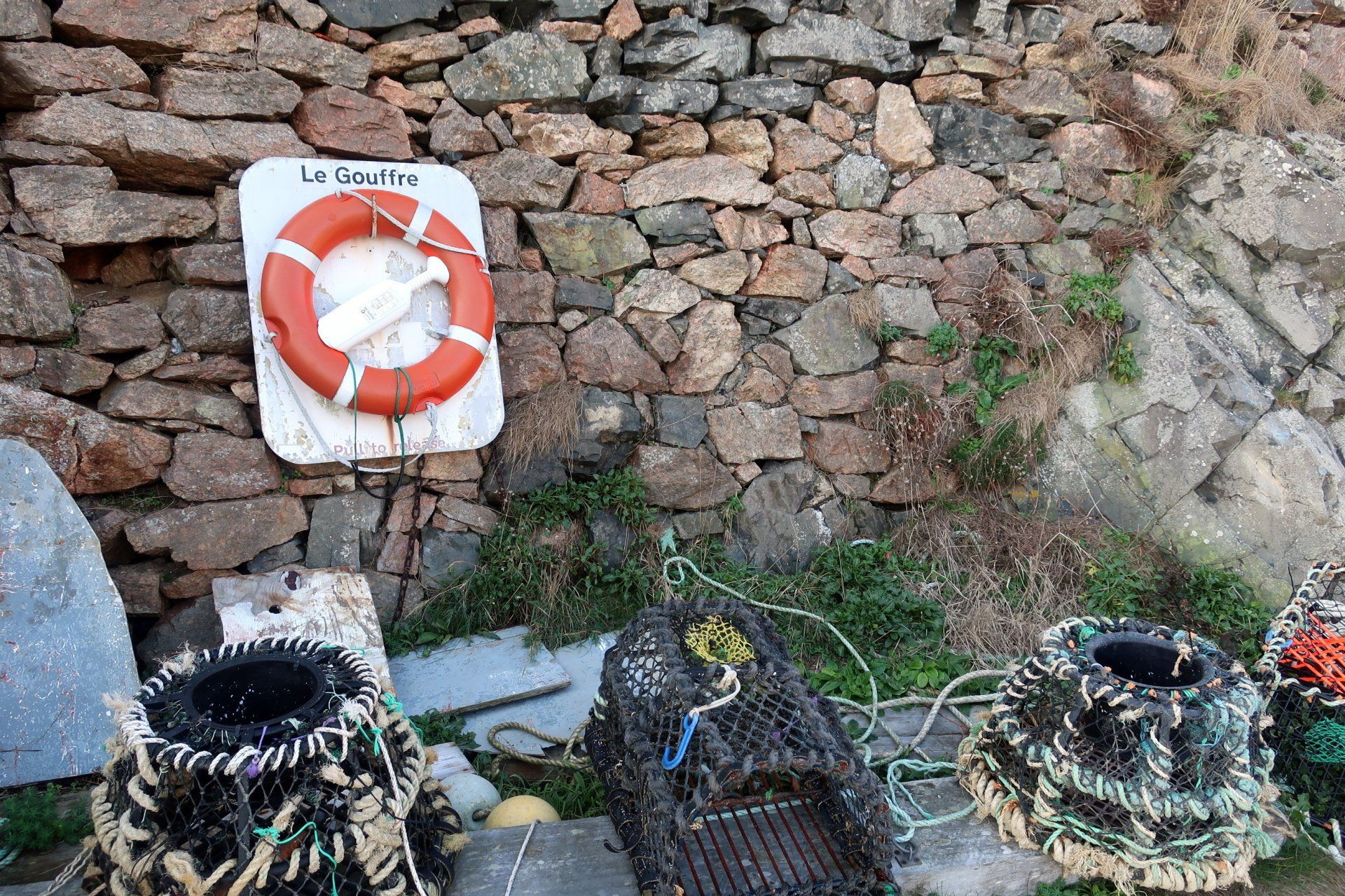
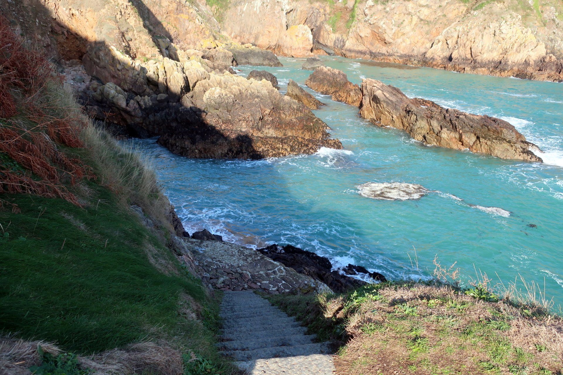
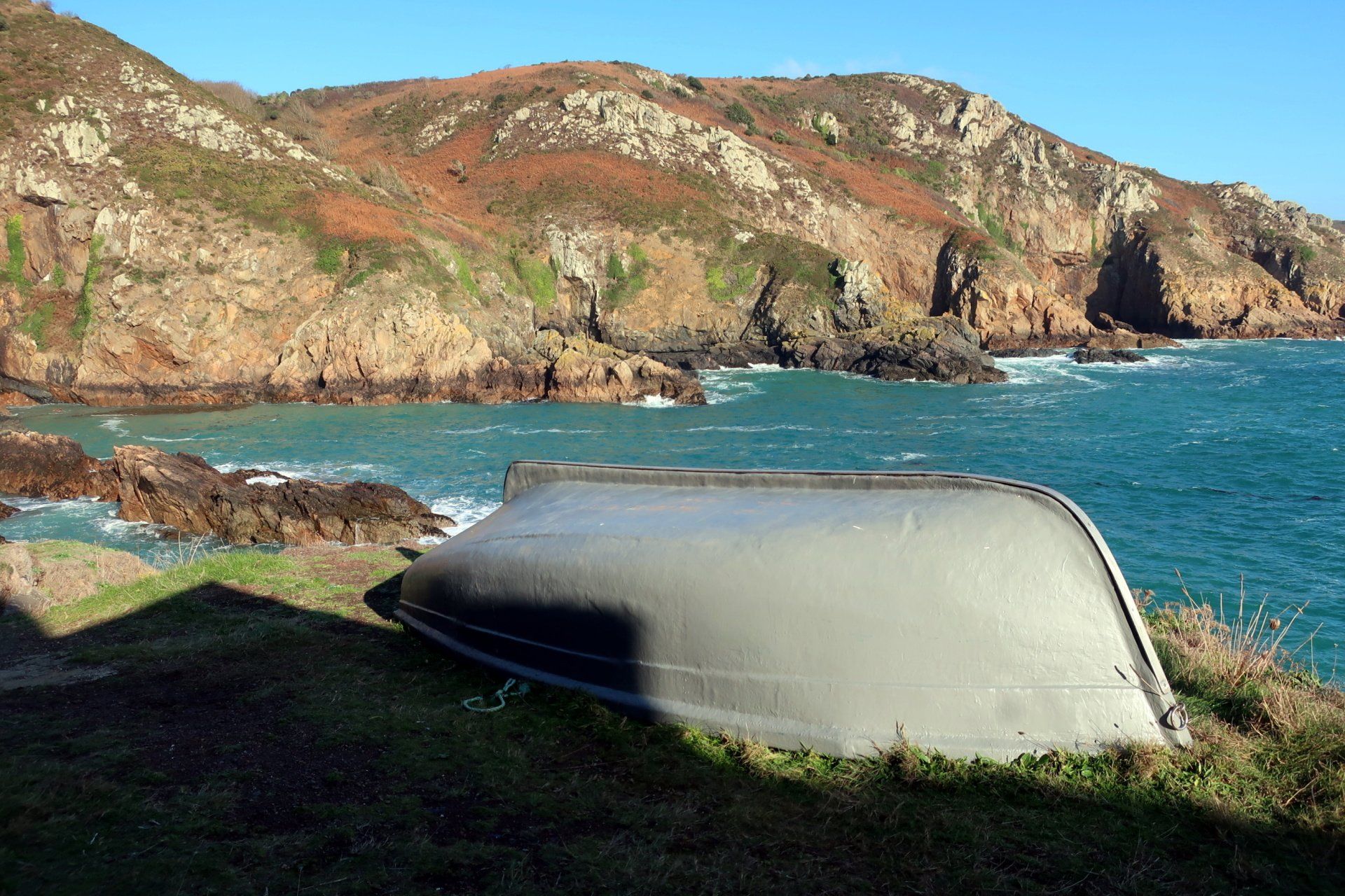
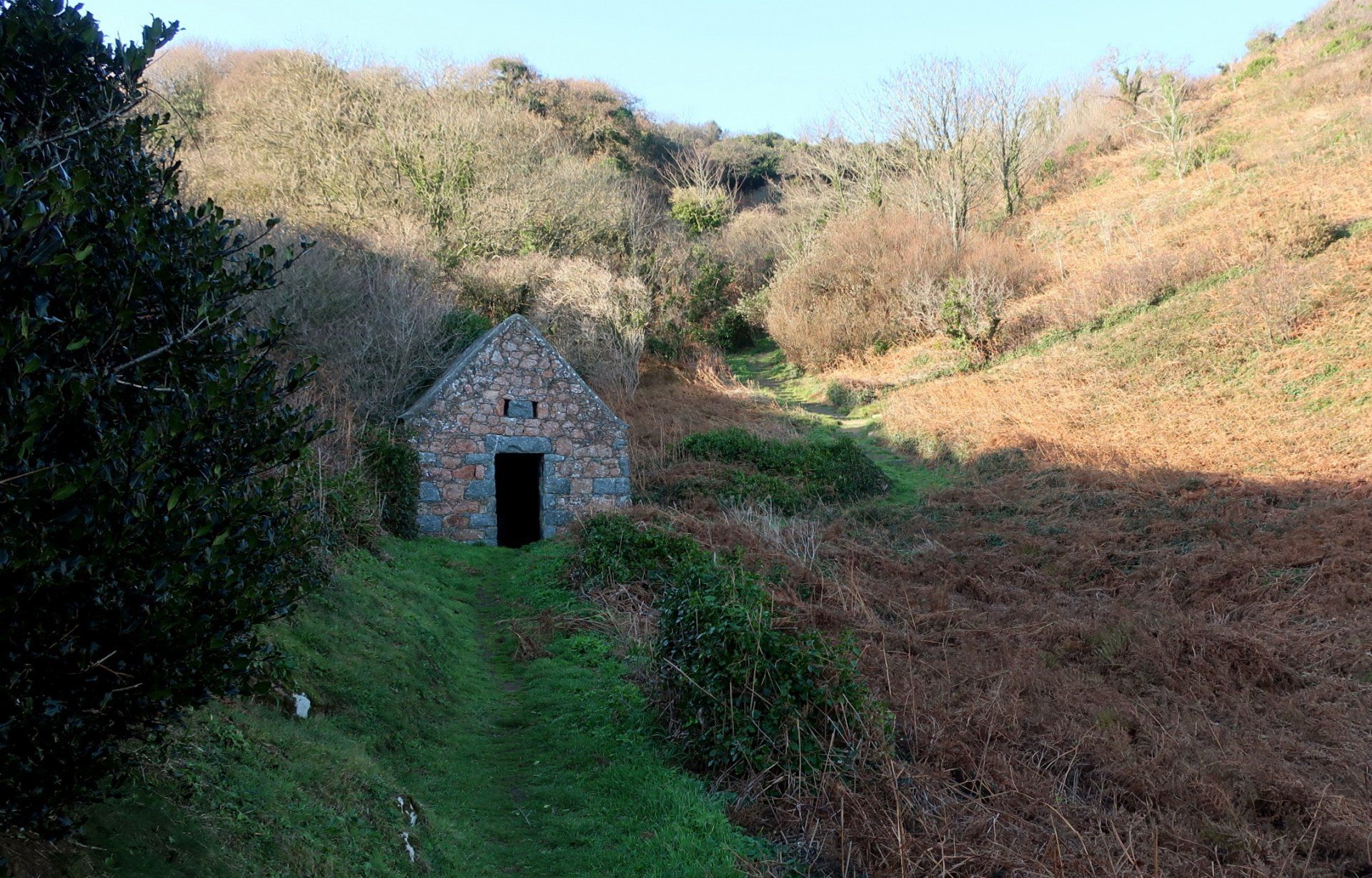
At Le Gouffre I take a voluntary diversion from the main path, heading down to the moorings, although no boats to be found at this time of year. Still, a neat little hideaway to go explore.
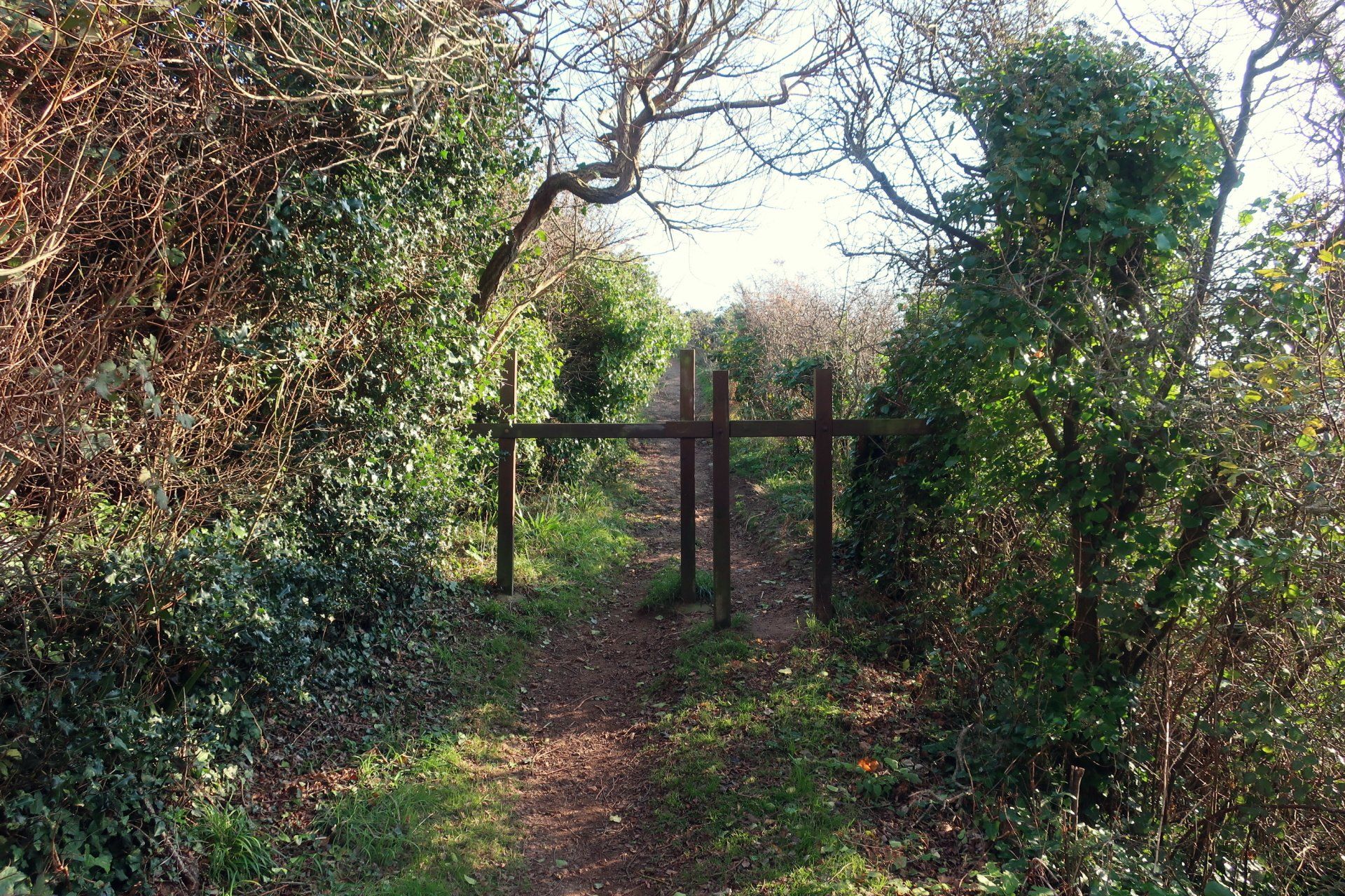
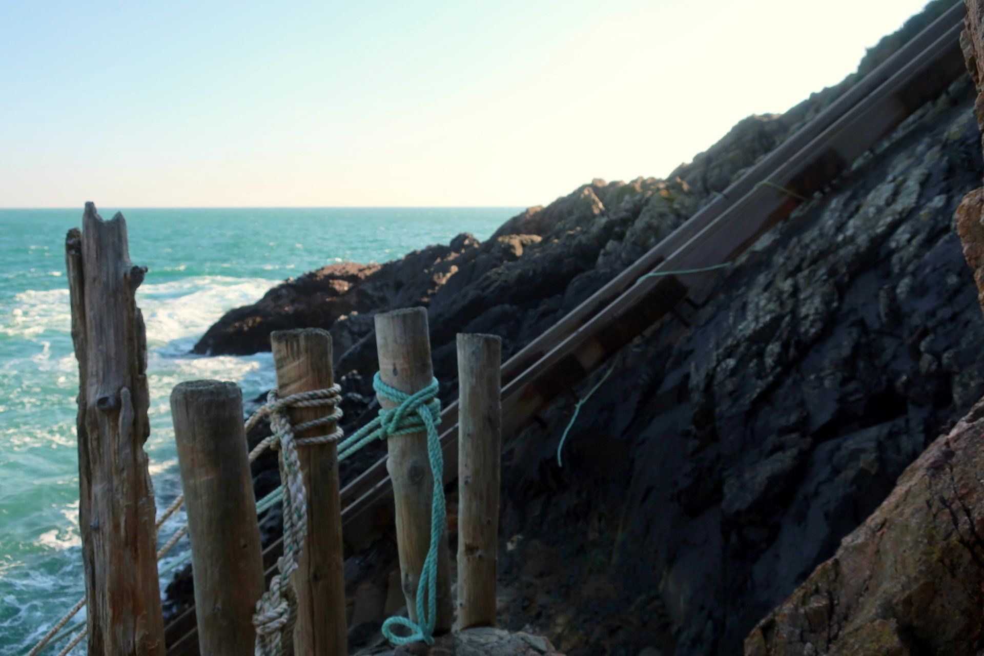
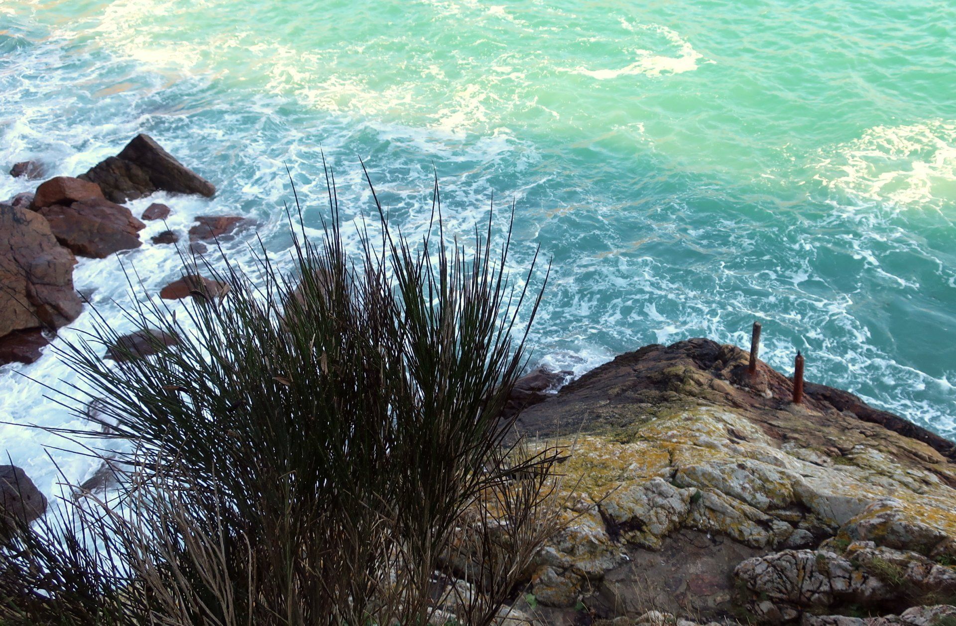
A little further on and I divert down another long path to a spot shown as moorings, but this is a rather remote patch of grass hanging off the side of the cliff surrounded by rocks and churning sea. A couple of posts suggest somewhere to tie up but I wouldn’t recommend this as a mooring!
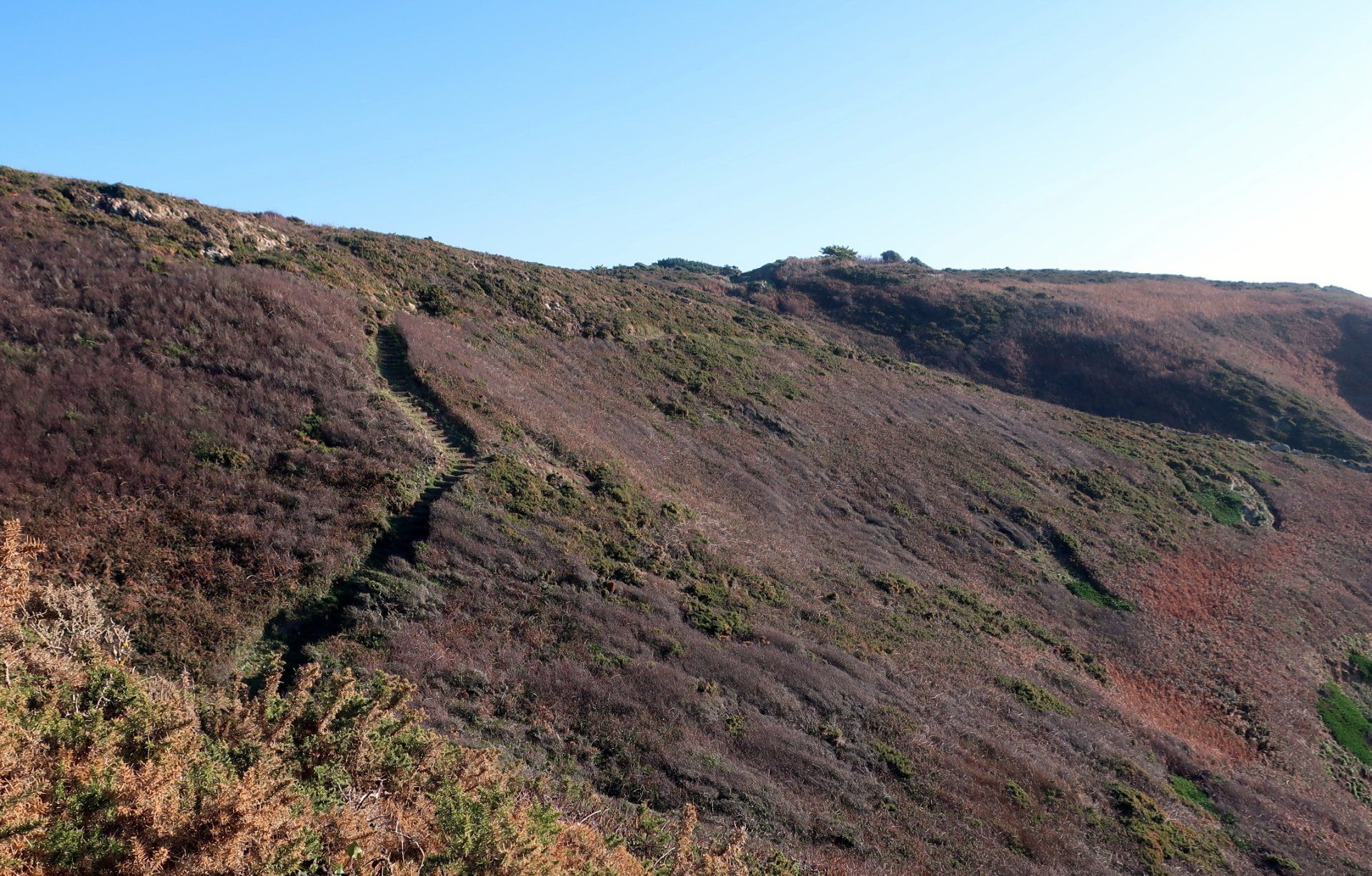
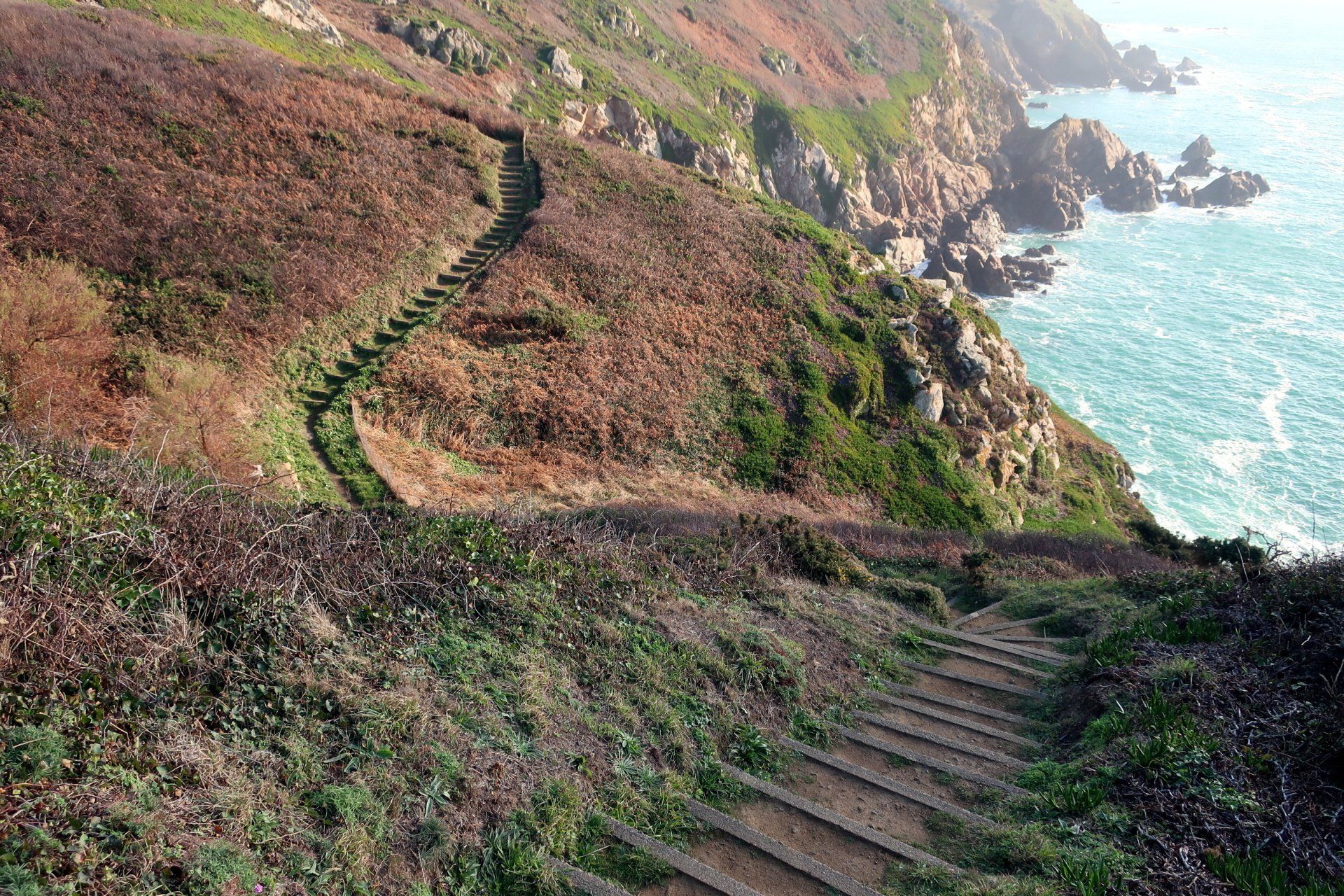
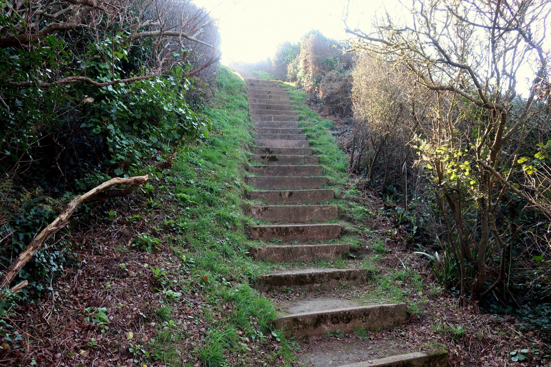
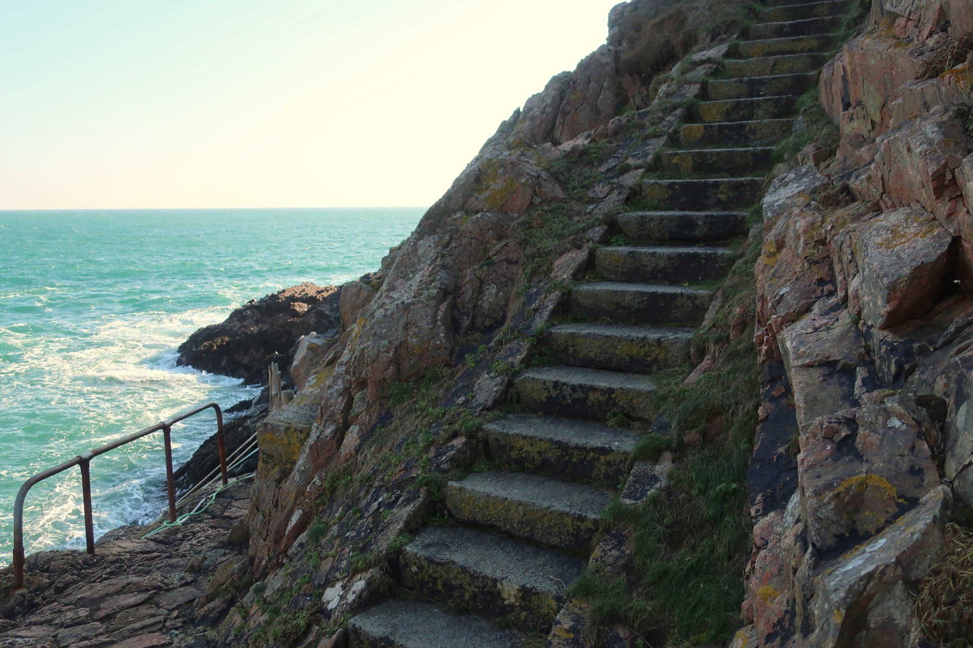
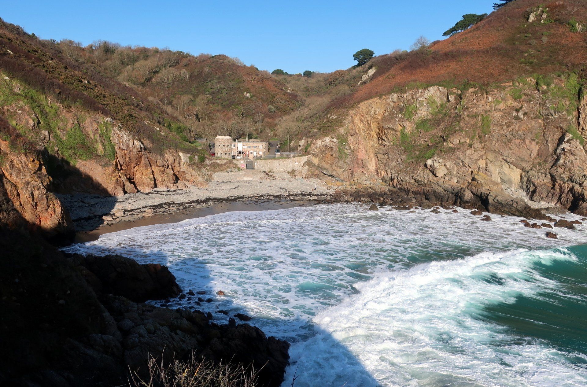
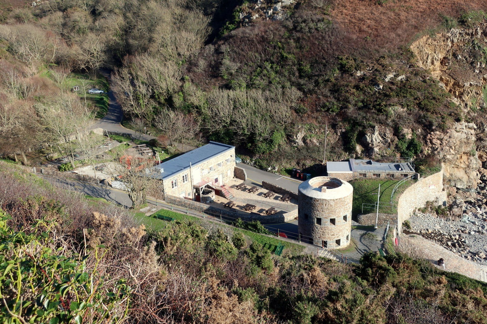
Across, the next inlet is Petit Bot, my destination for today. I climb up the path to higher level and then back down to the next small peninsular, looking back into Petit Bot itself, then back up and finally down the final set of steps to end the walk.
Adding in these diversions to all the headlands and bays certainly has added a good bit of up & down but I have enjoyed the exploring, taking the time to mooch around the nooks and crannies. I never tire of our cliffs – they always offer a new experience depending on weather, light, tide and time – and today has been another superb trek.
And so another walk on my CI Way journey completed, only one more to go!
Stats: 9.6 miles, 3hr 26mins moving, 4hr total, Average moving 2.8 mph, 2598 ft Ascent
