West Mendip Way- Day 1
FRIDAY 26TH MAY 2017:
Day 1 of the adventure. I am up and ready to go and after breakfast set out (yes, the place is open, although I think I am the only guest! They blame the builders for over-run…surprise!). The trail starts a few metres from the front door, can’t get a better location than that for overnight. Another quick look for starting plaque, but no joy, take a starting selfie anyway. The forecast is hot with temps in high 20’s – phew – so I am kitted out in my hot weather gear.
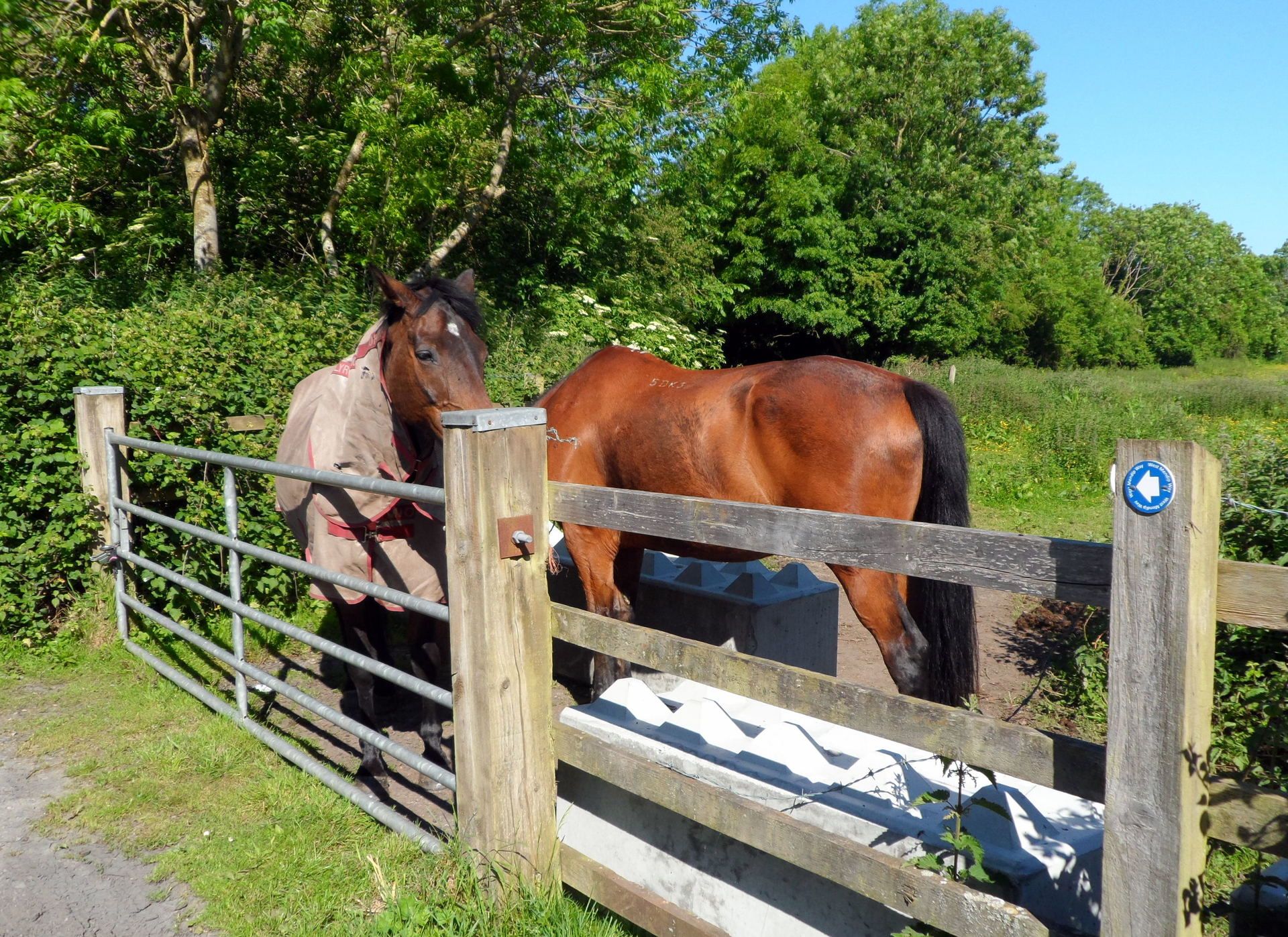
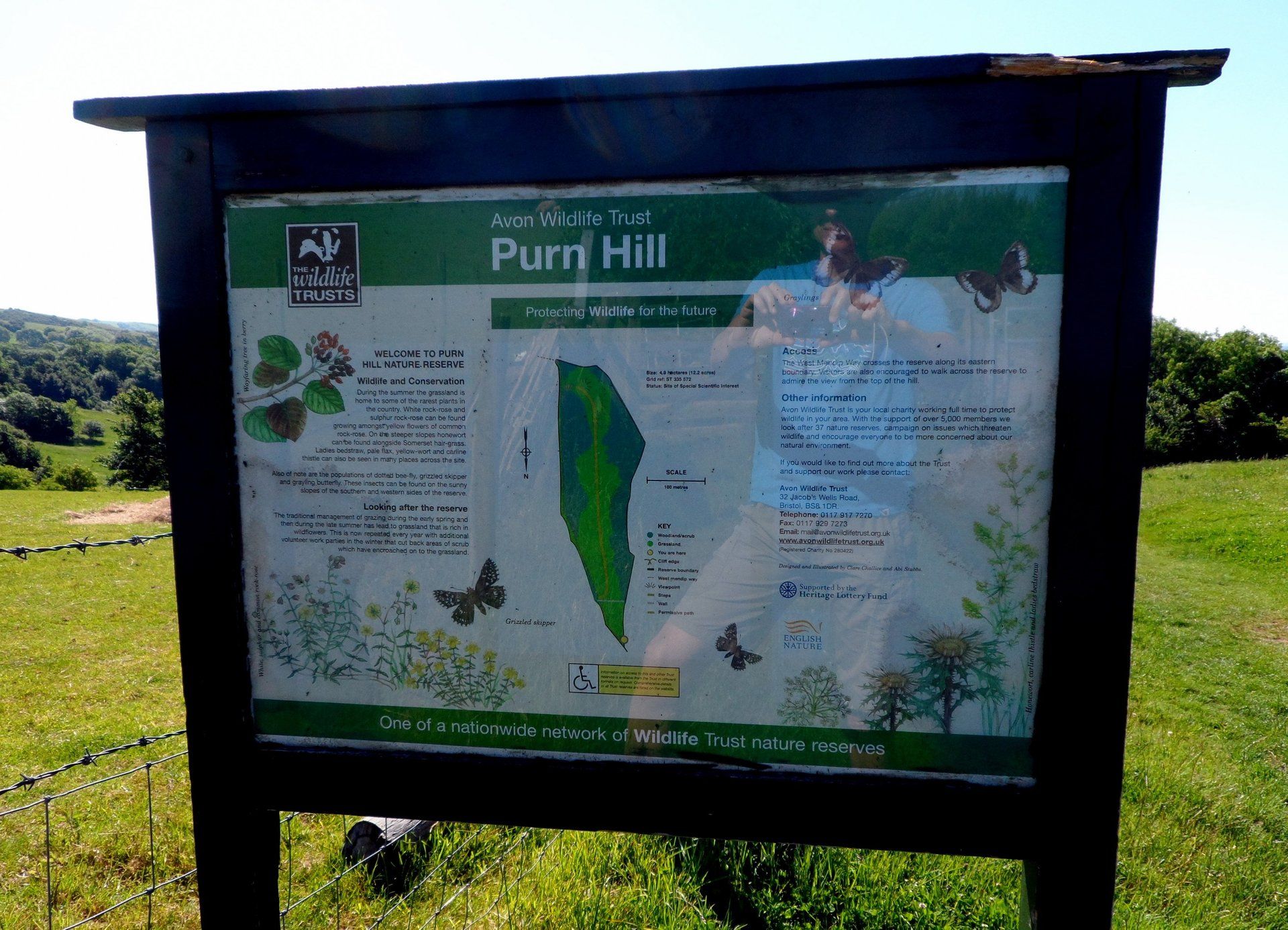
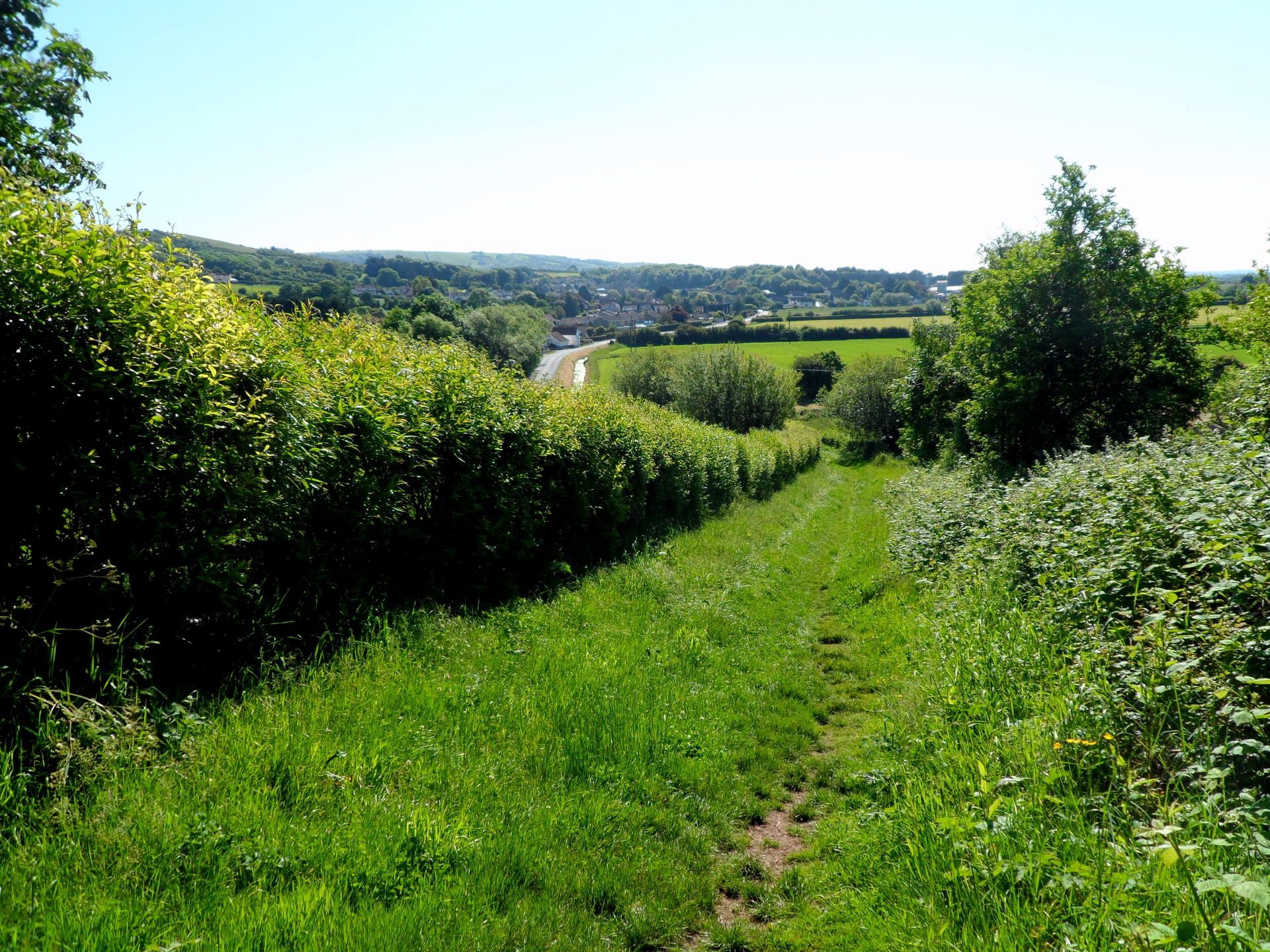
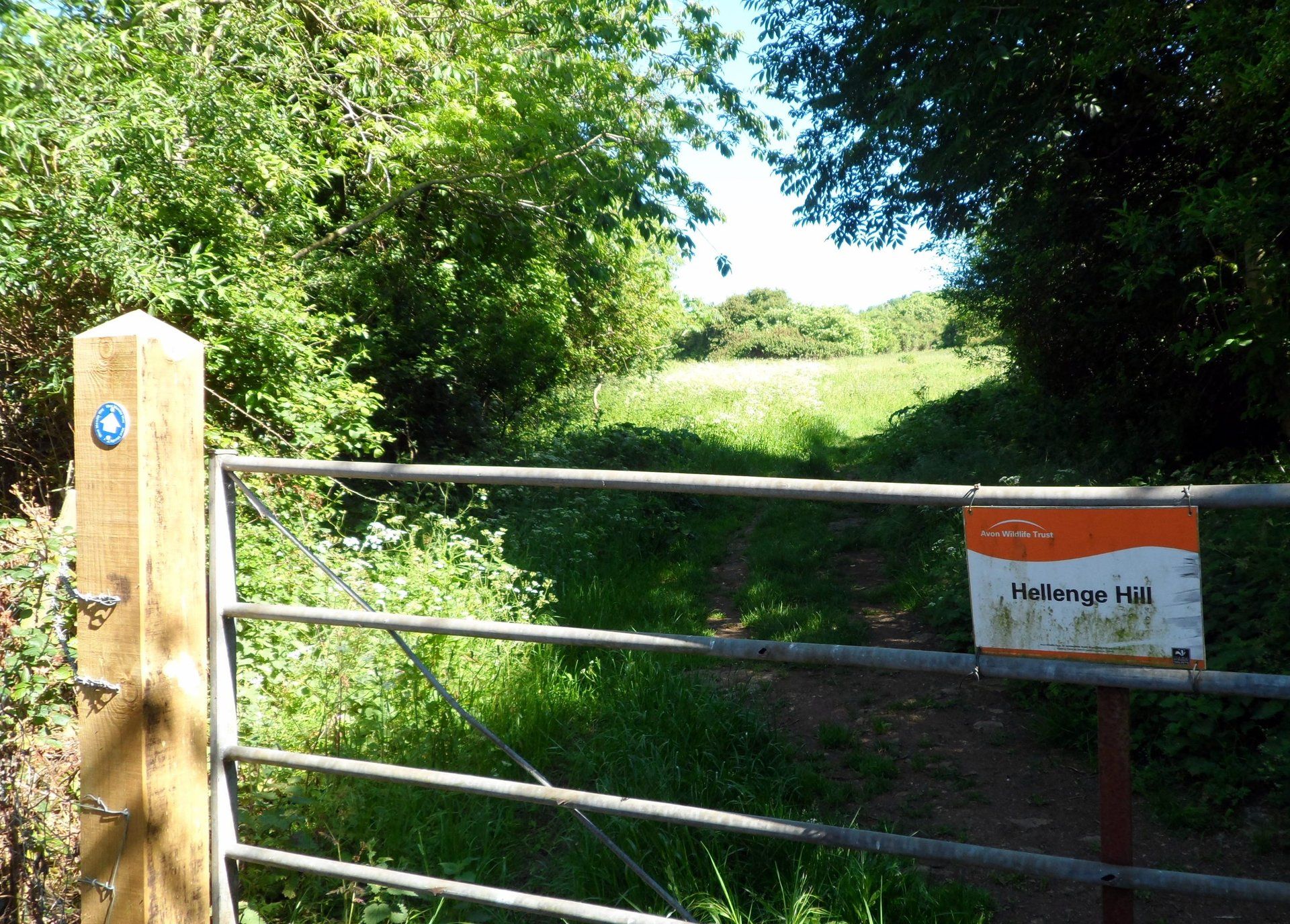
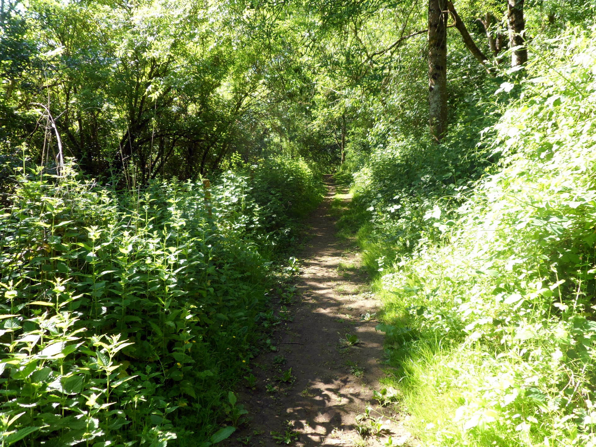
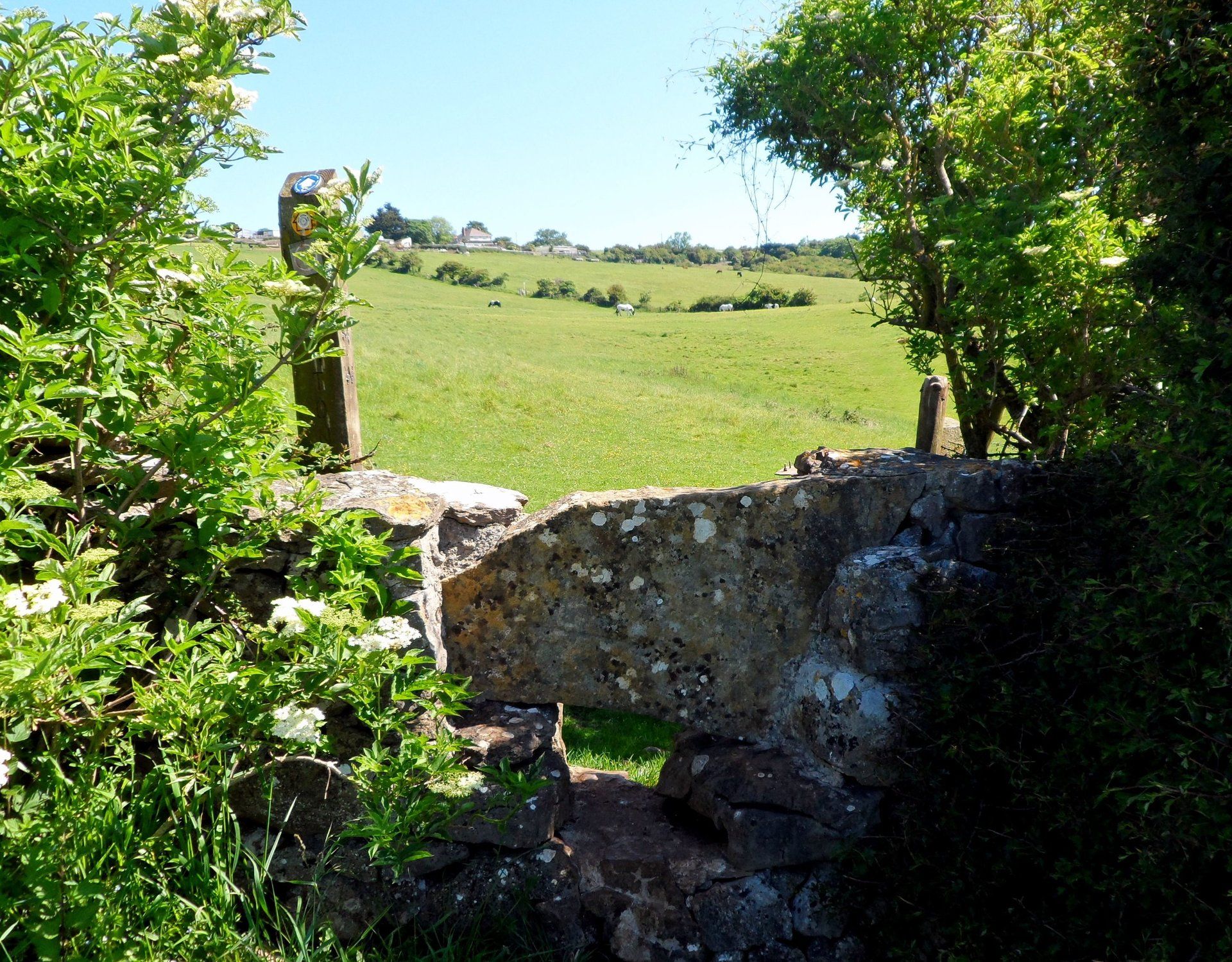
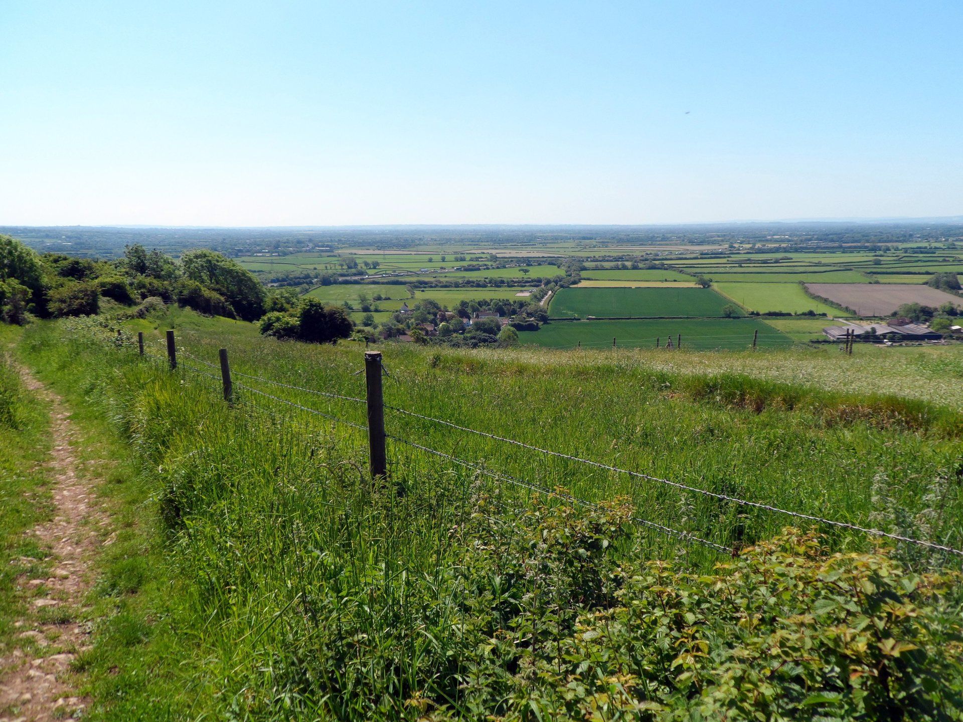
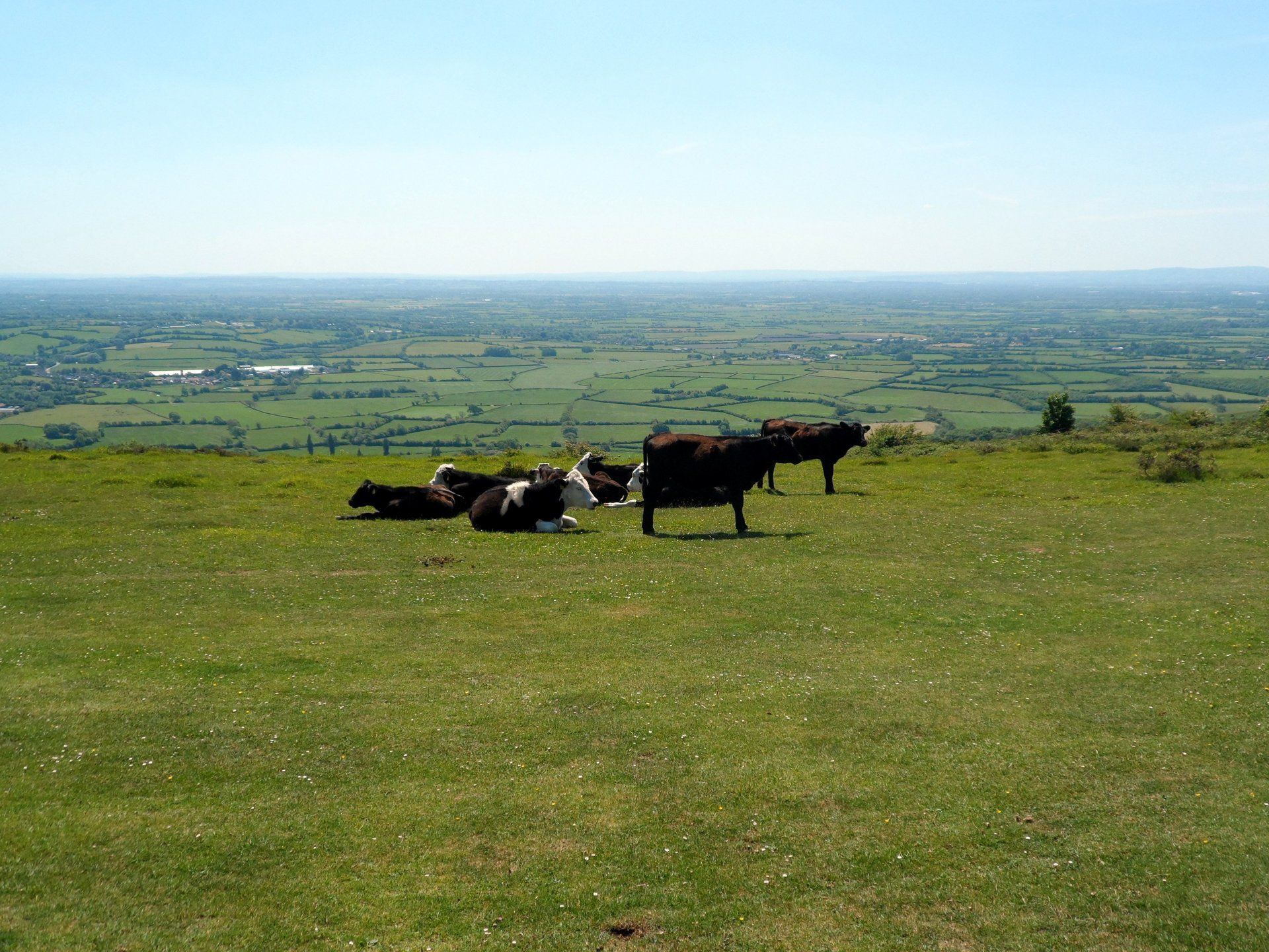
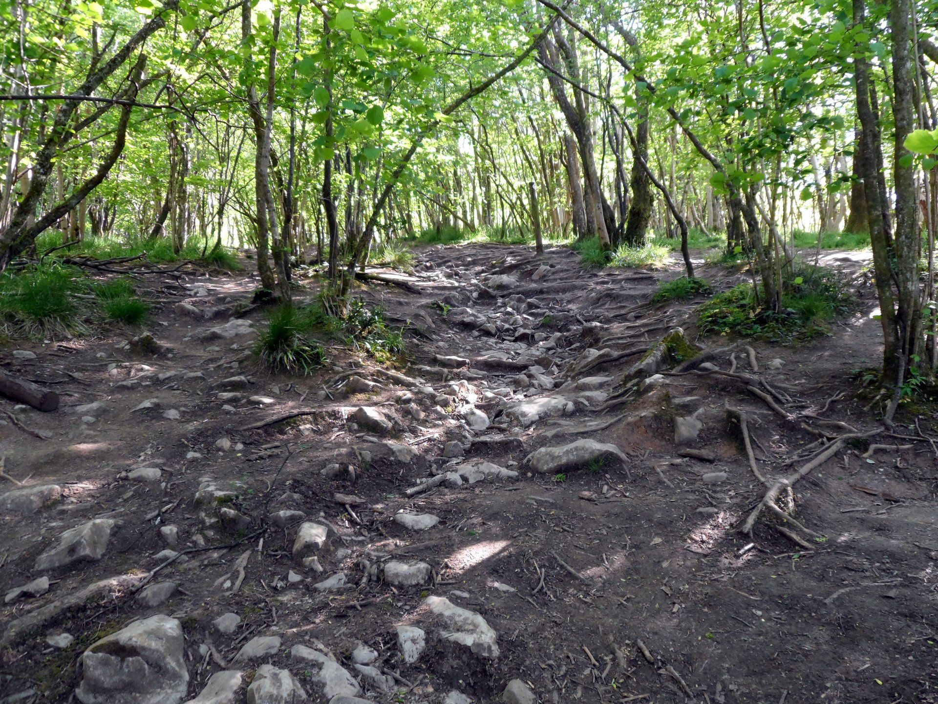
The trail eases you into things, skirting around some lower hills and quickly takes me into green pastures and good old British countryside. I soon pass places such as Purn Hill and Hellenge Hill. Guess what, these involve going up and coming down….something of a theme for the day. Still, great views and with blue skies and sunshine, these views are at their best.
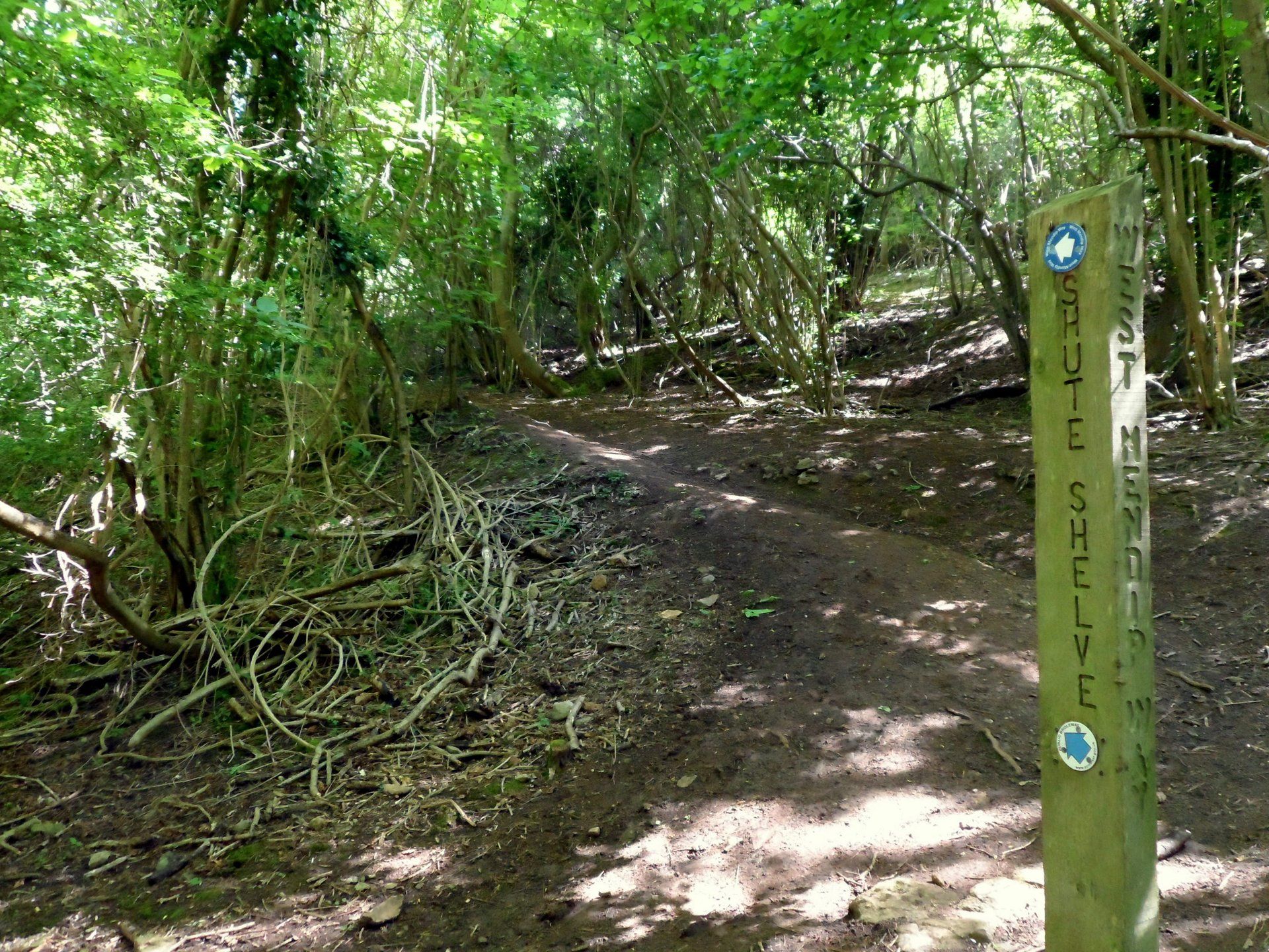
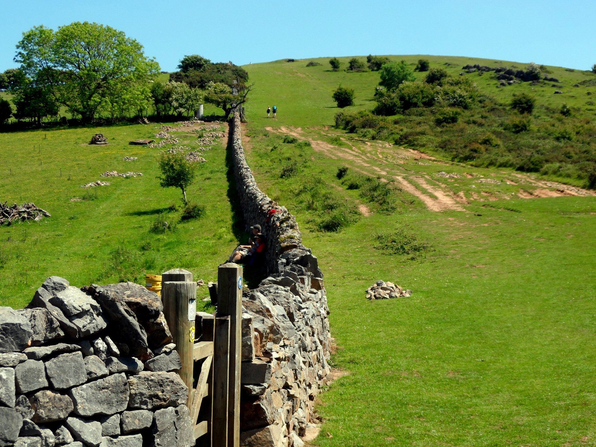
The route has recently been upgraded and is well waymarked and a combination of that and GPS means I don’t get too lost, too often….however, I have my moments. One of these comes around Compton Hill, where I realise I have missed the path somewhere. It looks like I have to retrace my steps some distance and I almost continue along the road and join later but thankfully I quickly dismiss this thought and good job too as I would
have missed one of the highlights. As it happens my trek back is not too far and I start up what is a very steep, long climb (a web blog quotes: a bastard climb hauling my sorry fat carcass up the hill.
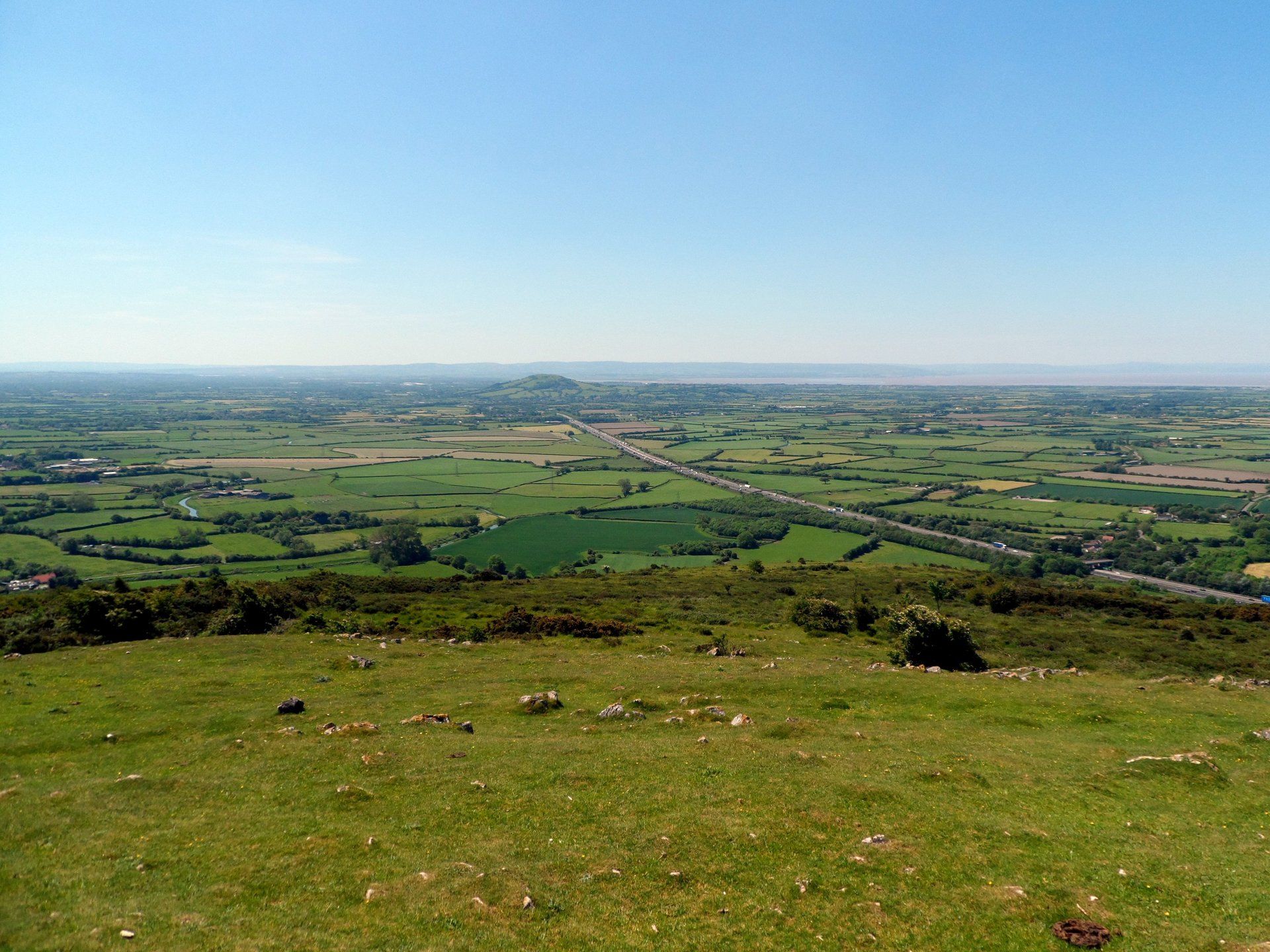
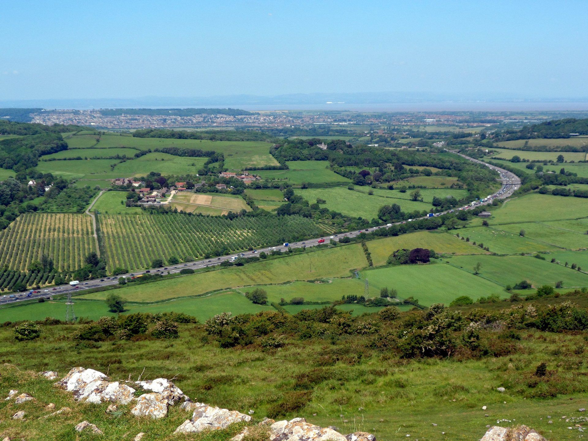
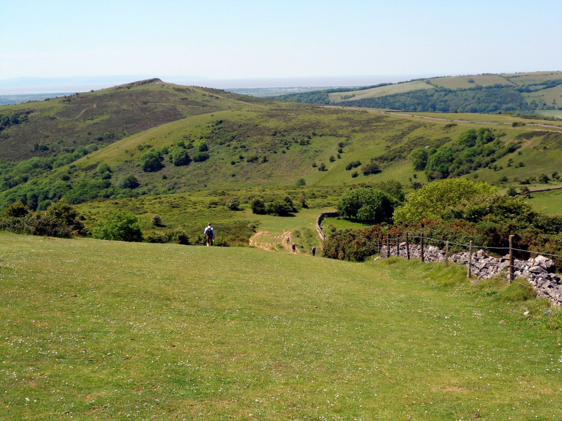
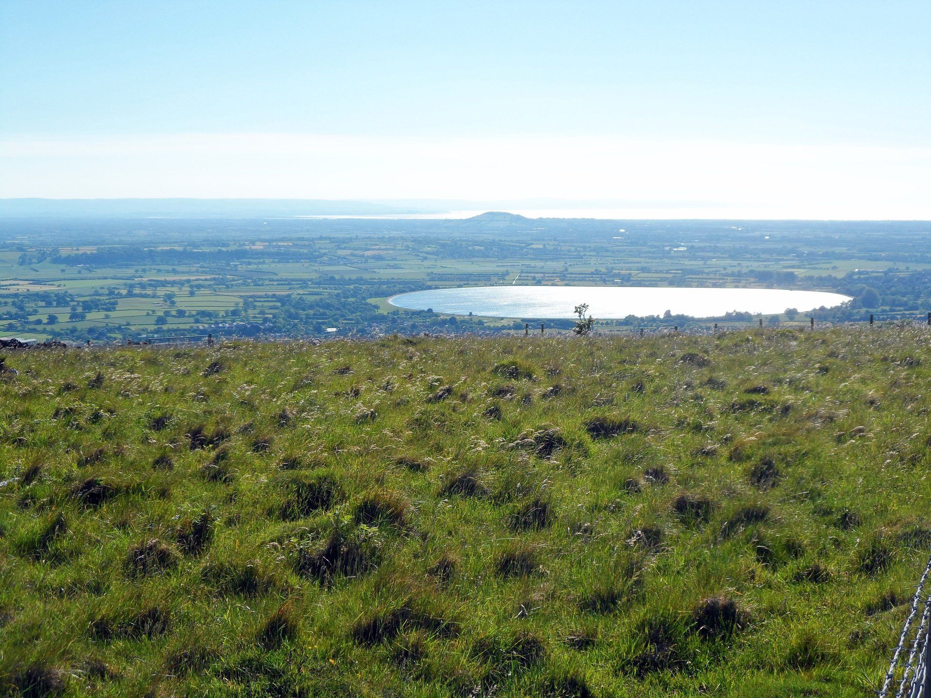
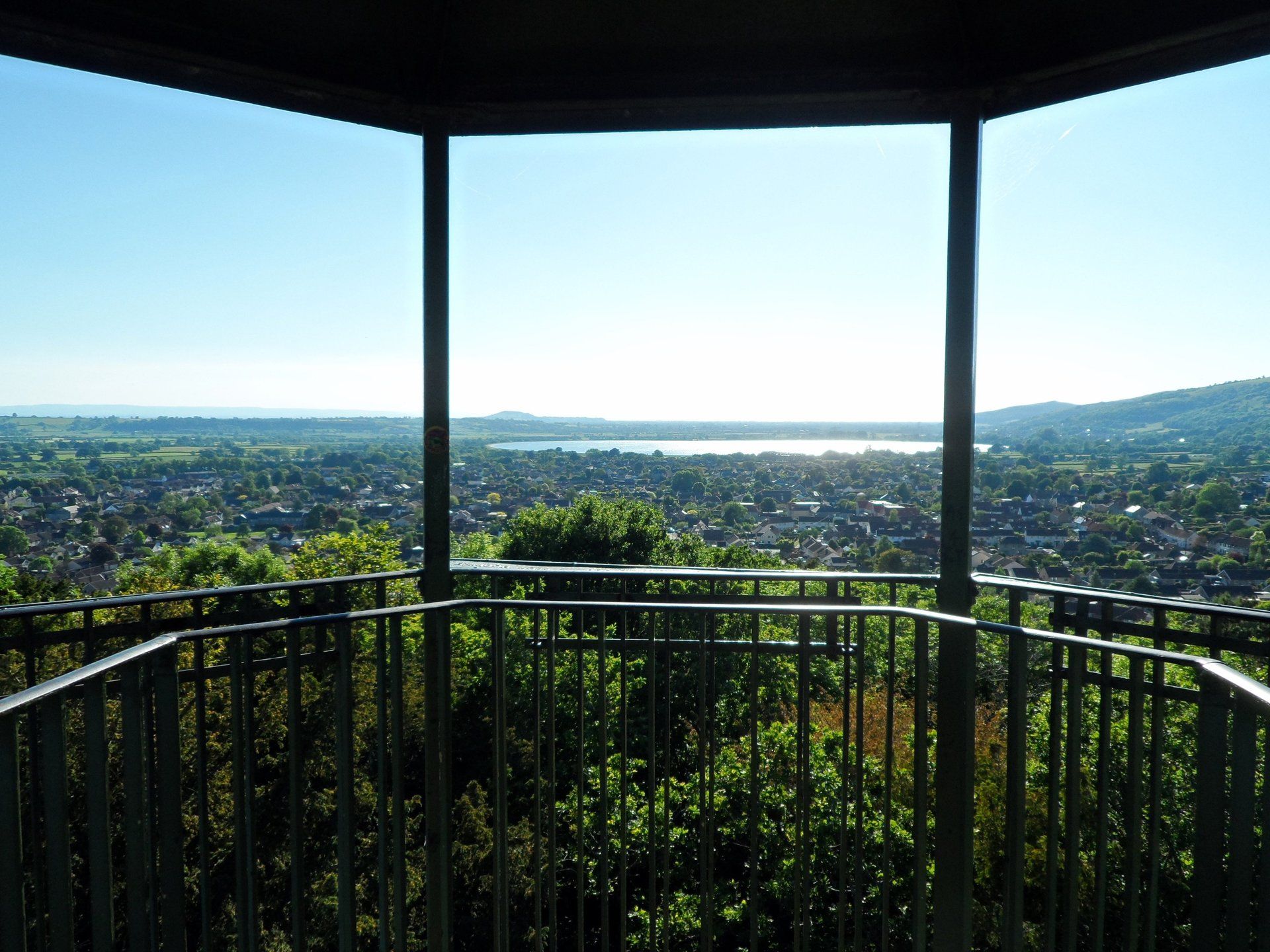
– so eloquently put!). Once at the top the path moves away but the actual summit of Crook Peak is not too far away so I make the extra effort and divert to there. What a treat, it is like being on top of the world with it all laid out around you, sweeping vistas in all directions. The M5 snakes away (a road I had crossed a little earlier) and I can see Cheddar reservoir, my day’s destination.
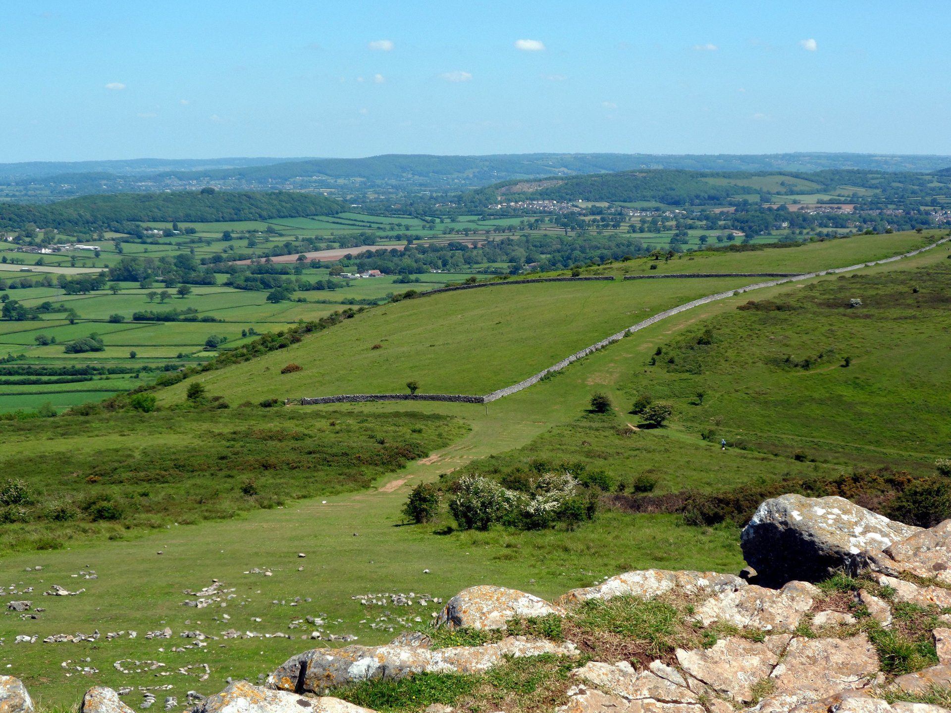
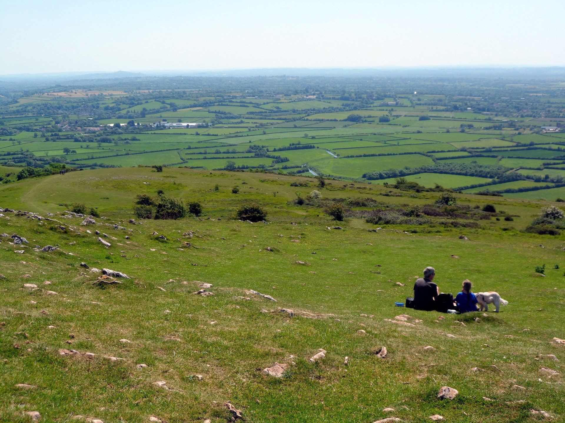
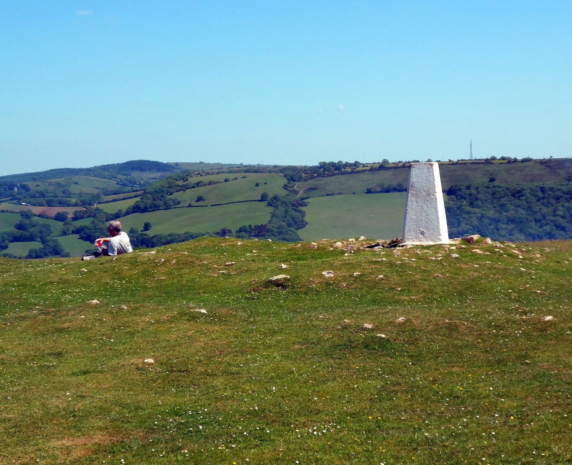
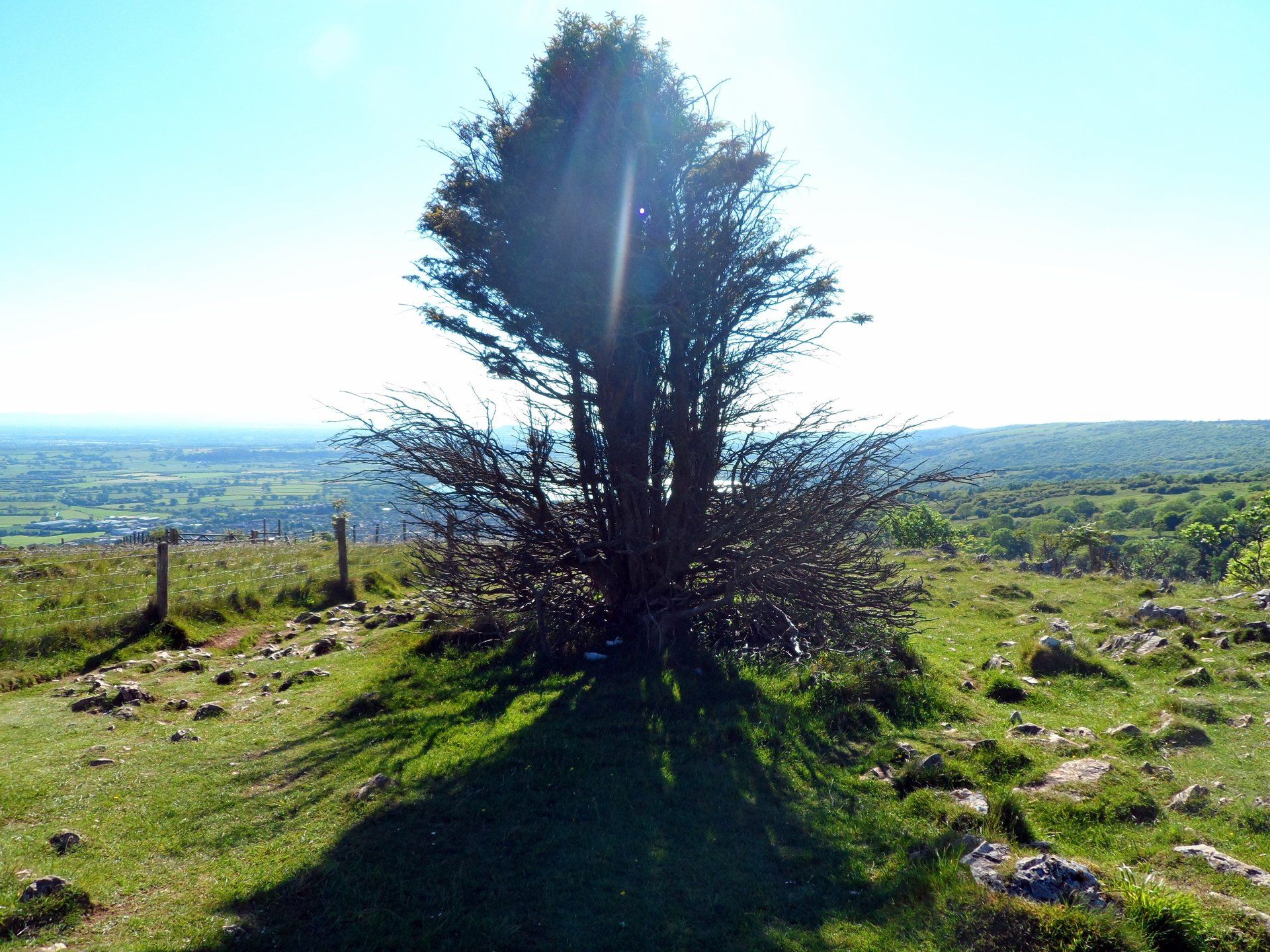
I descend into the lee of the rocks to shelter from the stiff wind that high and have a sit down and refresh, then march onwards across the hilltop plateau and further hill up to the trig point of Wavering Down at 211 metres. I love this sort of country! Dropping down from the trig point into King’s Wood I start thinking about some lunch as getting hungry and running low on fluids and I know there is a petrol station coming up. Shame I didn’t have the food with me as the hilltop would have been a good lunch spot, however, I stock up with sarnies and stuff and find a shaded spot on edge of forest and sit for some nosh.
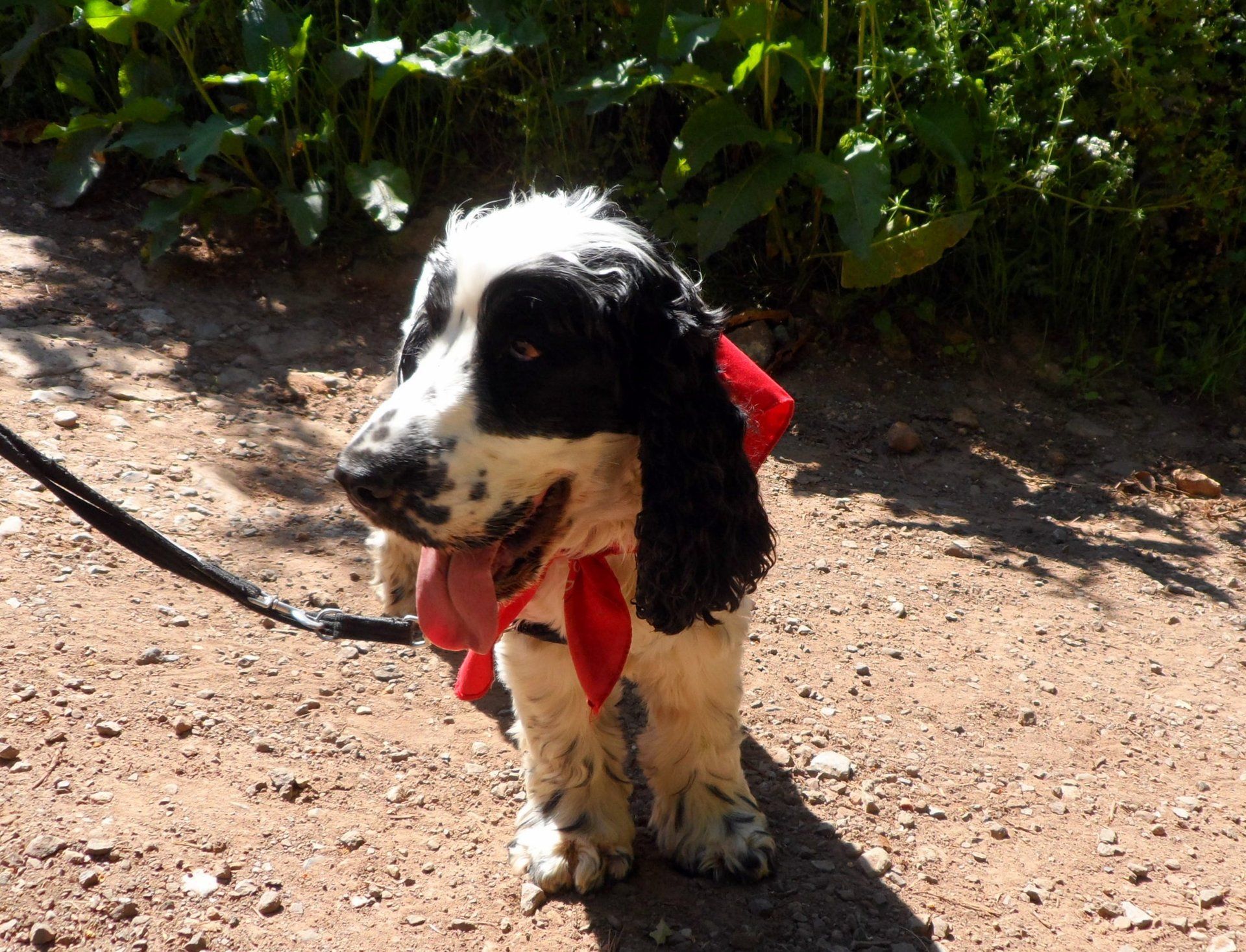
After lunch I am walking in a wooded area and come across a cute Cocker Spaniel wearing a red bib. He looks at me as I pass and I expect to see his owner come around the corner. But no. I get to a gate and as I turn around to close, there is the dog, giving me a look with big eyes. Since I had just passed a few large houses I assume the dog must have come from one of those, however, I can’t help feeling he looks lost. Emerging from the woods and crossing a field I see a woman on her mobile phone and as I get closer it looks like she is holding a lead. I put 2&2 together and intend to ask her about the dog when she shouts out to me asking if I have seen a dog. I explain where but it is a ways back (half mile?) and a bit complicated so I offer to guide her back to where I came across him…I want to make sure the pooch is ok! So we retrace my steps and eventually up pops doggy (who I learn is called Jake). He was so happy, he nearly wags his tail off! With all 3 of us greatly relieved we walk back to the field, the lady and Jake departing to some nearby houses to reunite with their group. All in all a happy ending but talk about fate. The lady was basically lost, with only a mobile phone whose battery had just expired, no water and didn’t have tel numbers for friends as they were all stored on the dead phone. They had seen no other people, only me…what are the chances.
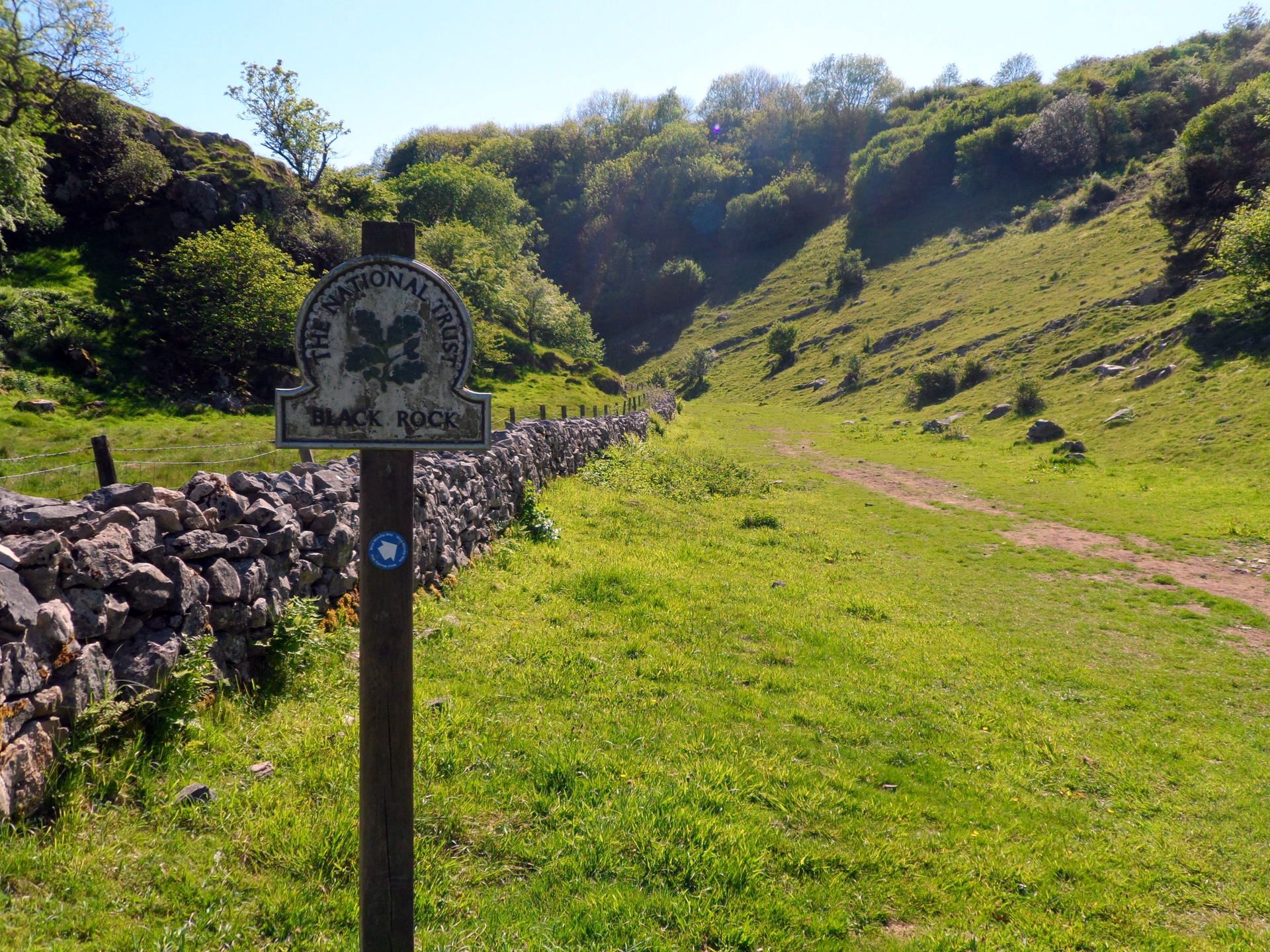
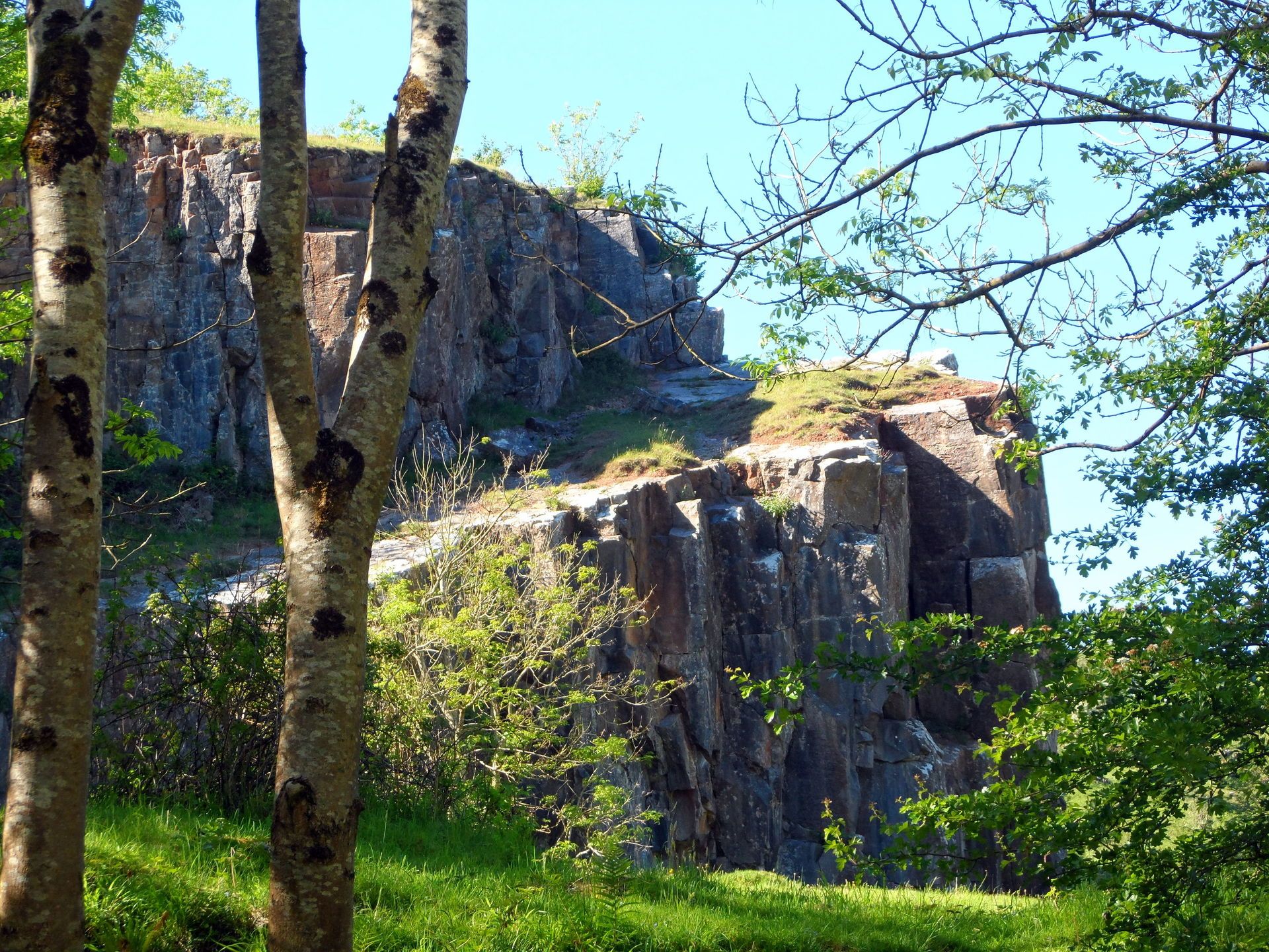
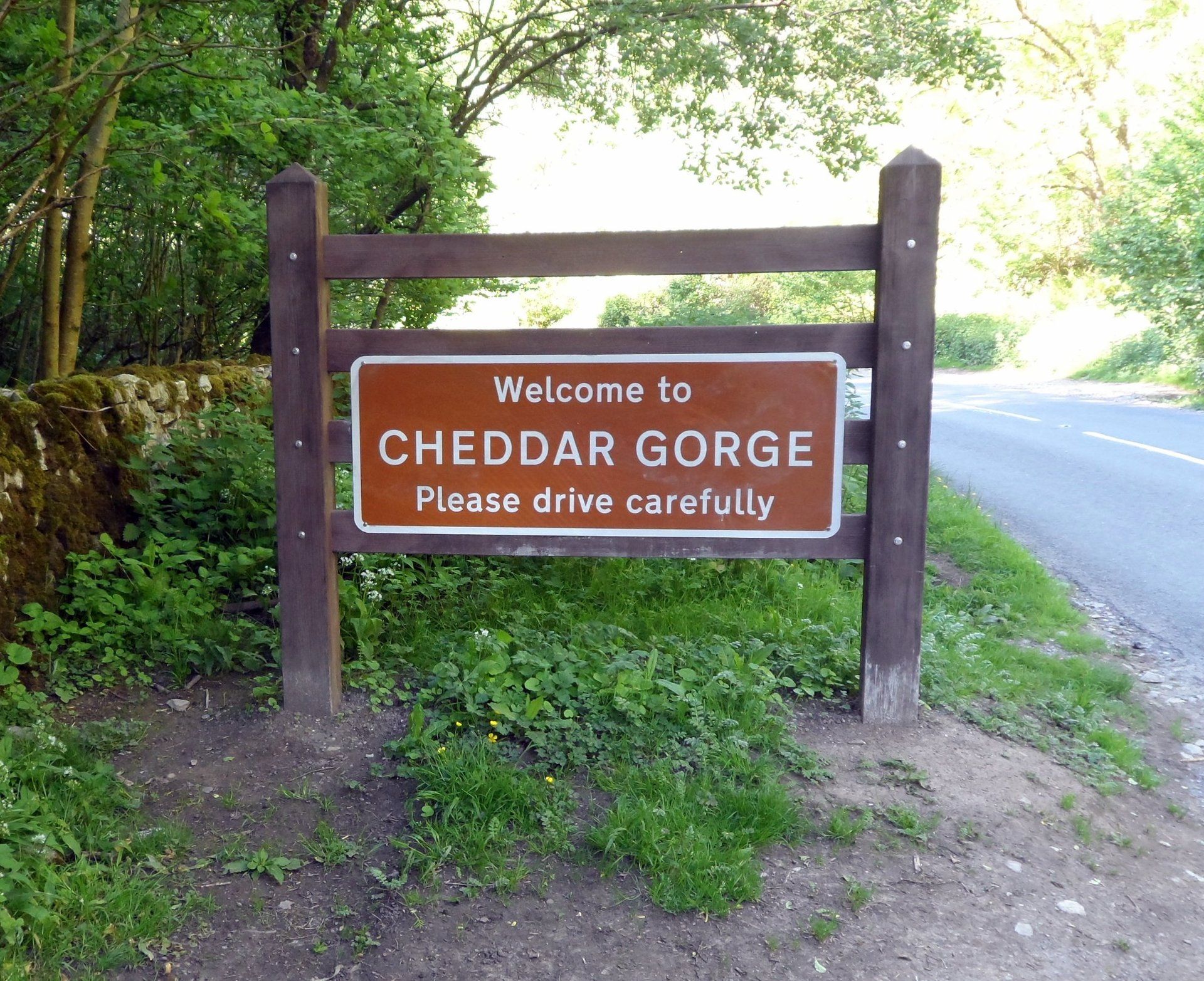
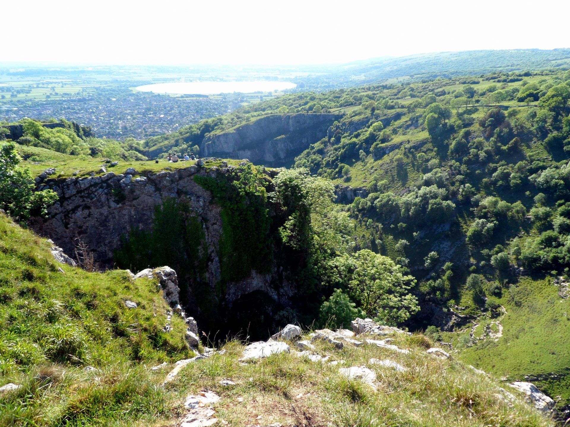
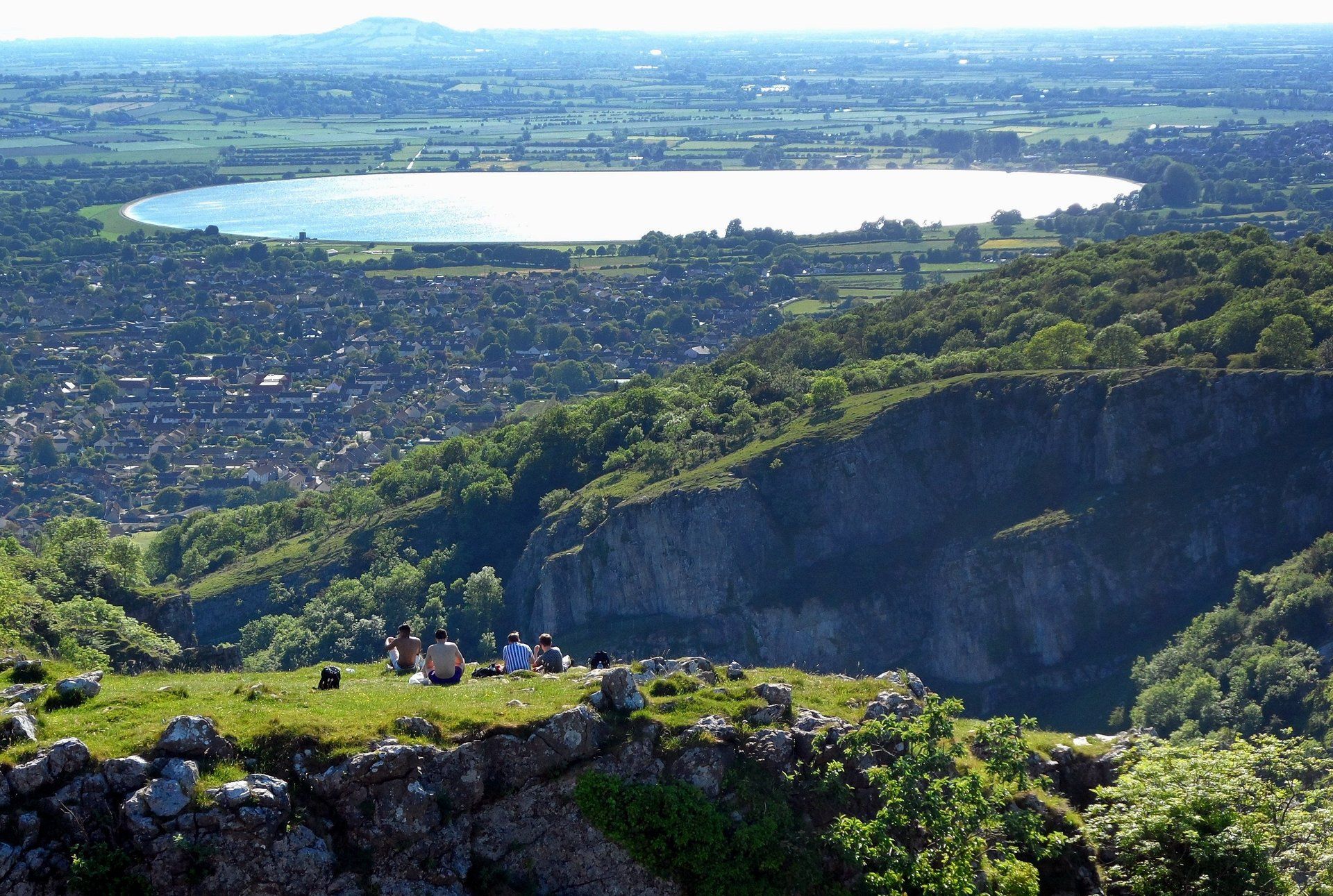
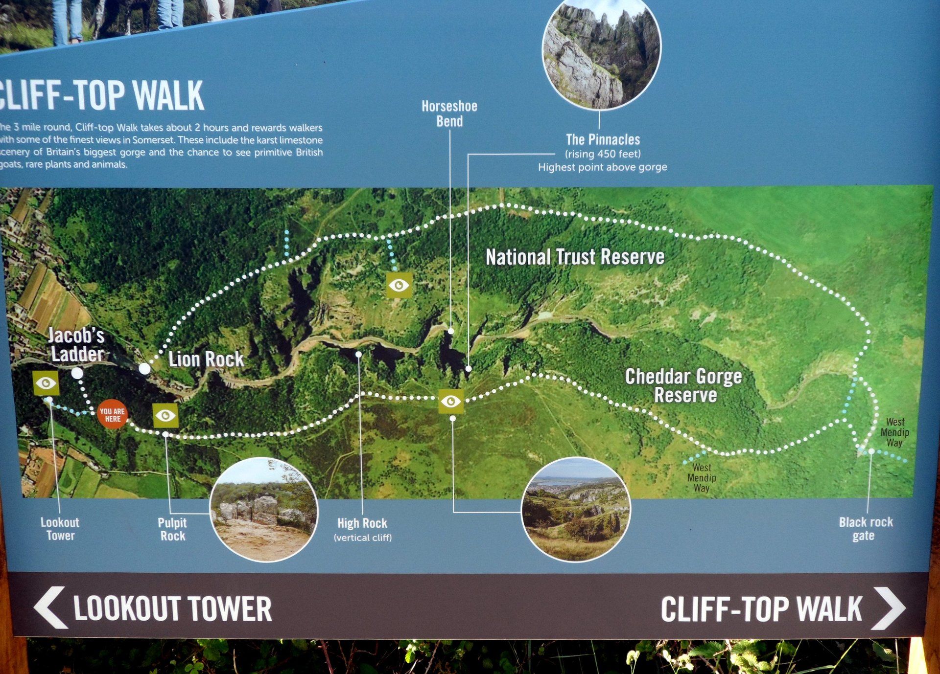
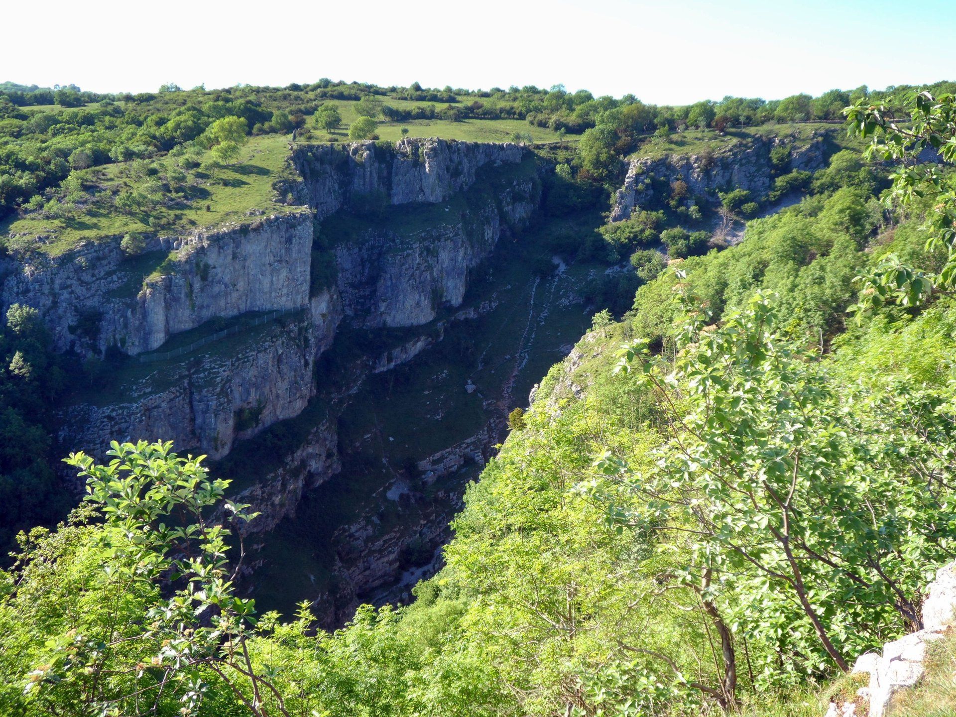
And so I come to the famous Cheddar Gorge. I had left my options open here – originally planning to walk the rim Saturday – however, the weather warranted taking advantage of. Knowing the SE rim to be the more spectacular I aim for this, although get very confused with the waymarks which divert me to the NW rim – unexpected and not shown on the OS map or GPS – it seems this a recent update. After Black Rock Gorge I cross over Cliff Road and climb (scramble?) yet another steep slope, eventually emerging from forest to grassland at the top of the gorge. It is hard to see into the gorge (don’t want to get to close to the edge!) but some vistas are almost vertigo inducing. In the other direction, more sweeping vistas. It is early evening by then and I sit and just absorb the moment. It has been a great day and this is an opportunity to just savour events.
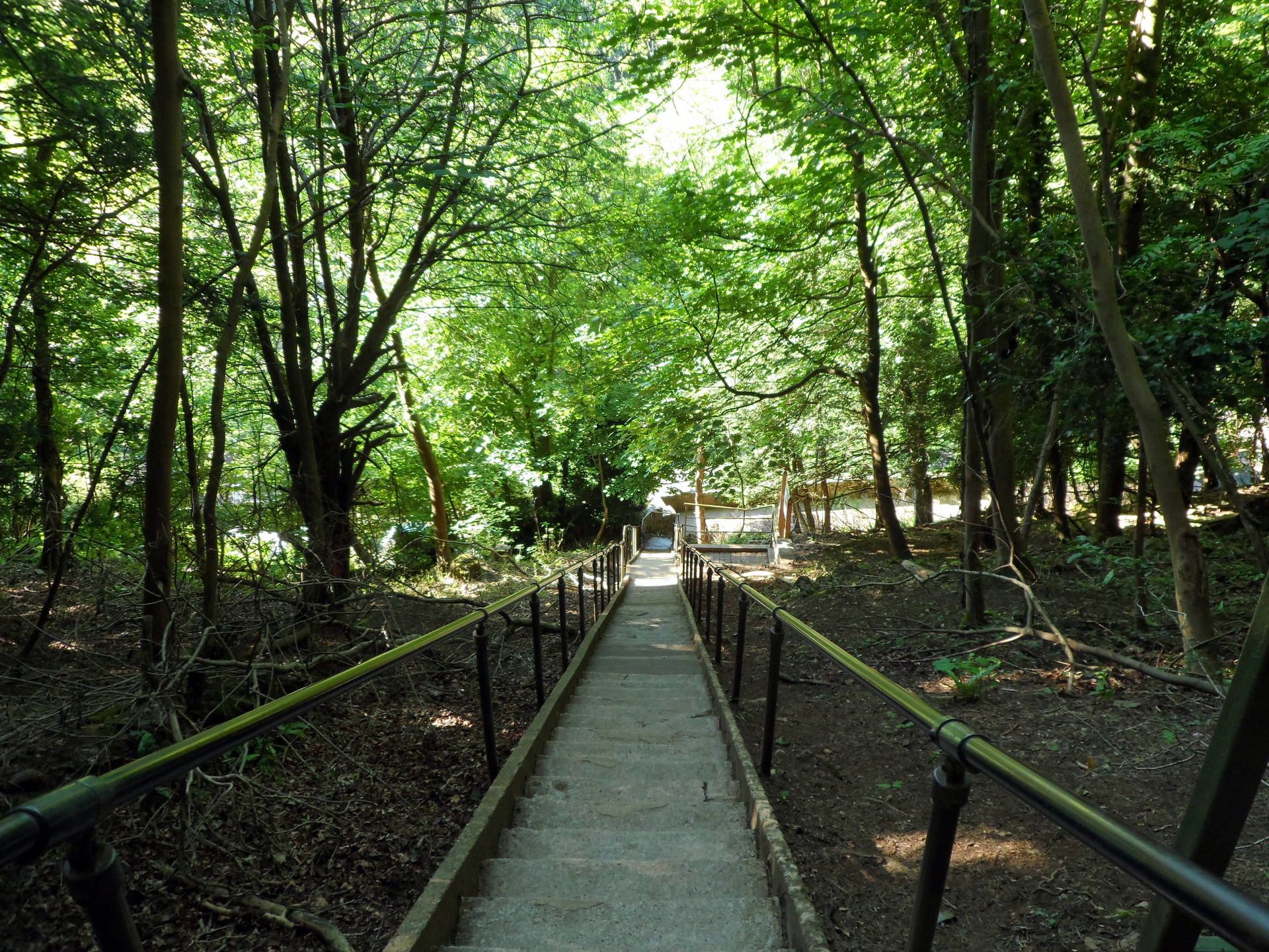
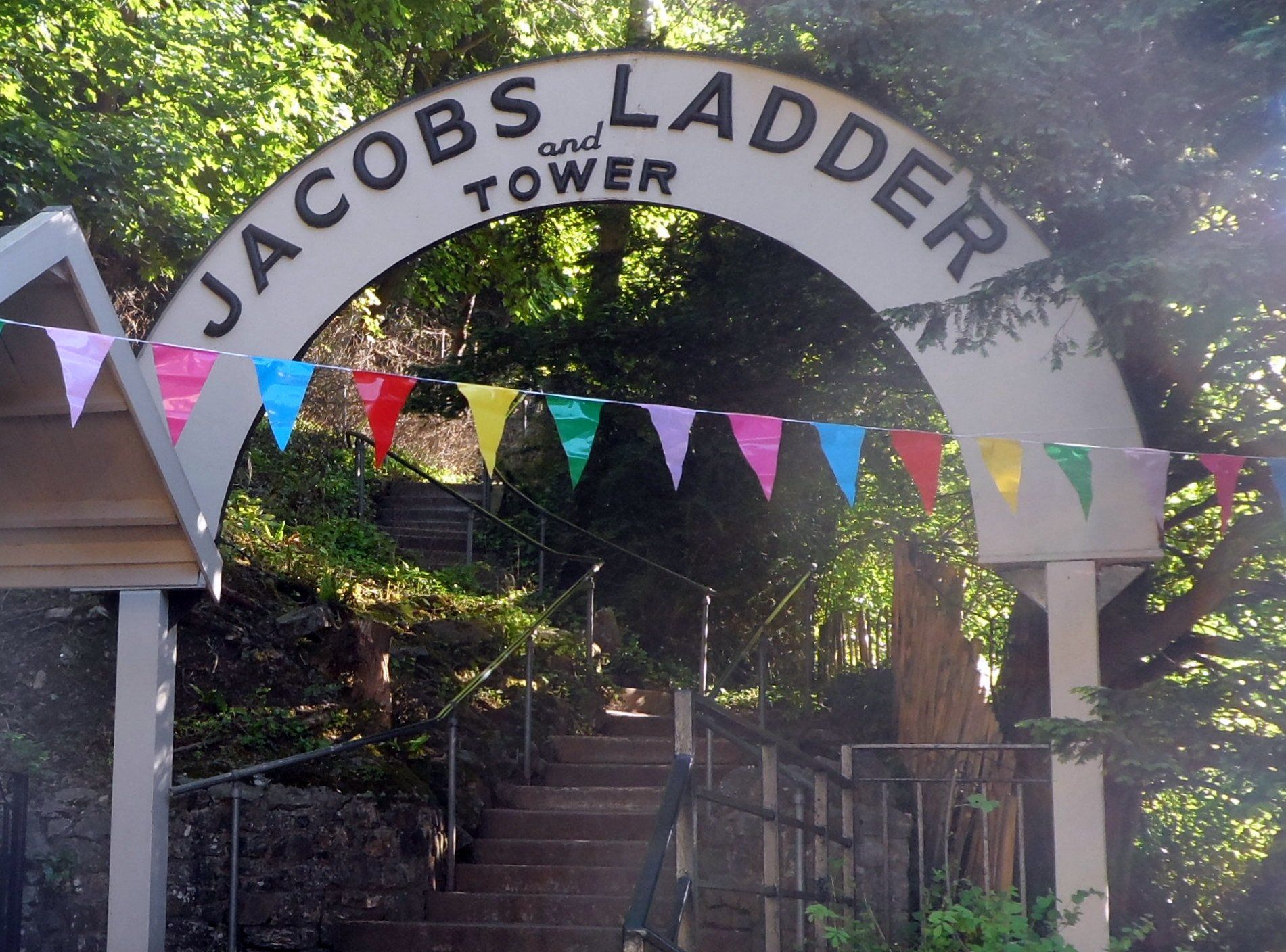
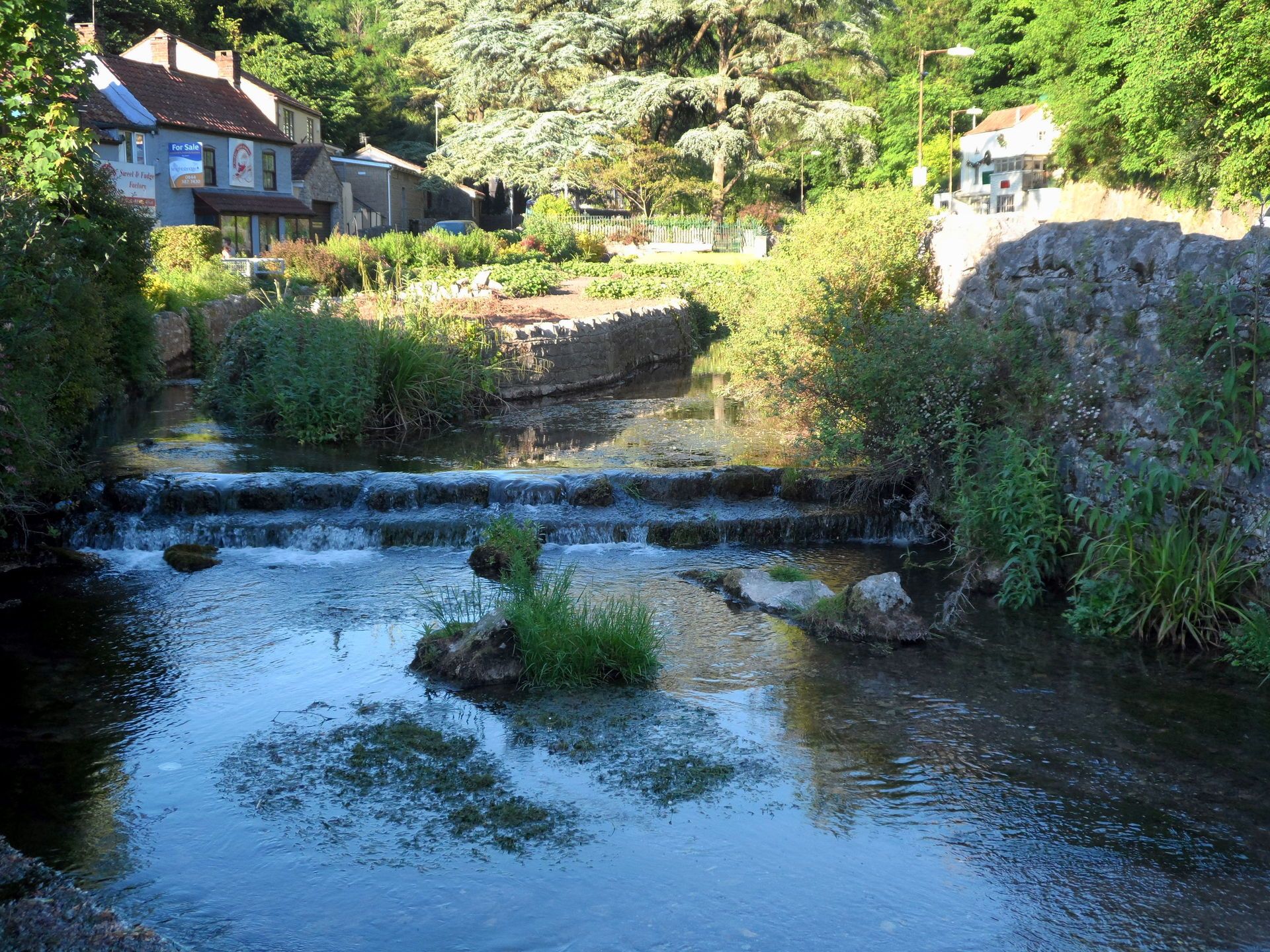
In due course I decide to move on and descend the grassy slopes, then down ‘Jacobs Ladder’ to emerge into Cheddar Gorge, the tourist spot. I spy a good-looking pub (The White Hart) which has a pleasant beer garden, well populated, and grab table. Chicken pie with mash and a pint of cider a perfect end to a fantastic day.