CI Way- May
Jersey (walk 1)
Jersey (walk 1)
SATURDAY 26TH MAY 2018:
Another month, another Island! Today it is the first section of Jersey. I have walked around Jersey a couple of times. The first time, a few years ago, I tried on a weekend, so splitting over 2 days, but after the first day of approaching 30 miles to Greve de Lecq on a very hot and humid day I was suffering and cut a bit out the following day. The second time in 2015 I tried over 3 days and that hit the goldilocks spot of being just right for me.
For my CI Way trek I originally planned 4 days for a more leisurely option, however, I have decided to revert to 3 given the hassle of making the day trips. This does squeeze the timeframe a bit when allowing for the getting ‘there and back’ but I think it will be ok.
On this occasion I am taking advantage of a new day trip service with French ferry, Manches Iles, this the only available date for May. I am hoping for good weather (and we have had some glorious sunny days recently) however, the forecast is showing it heating up with fog and thunderstorms. Oh dear!
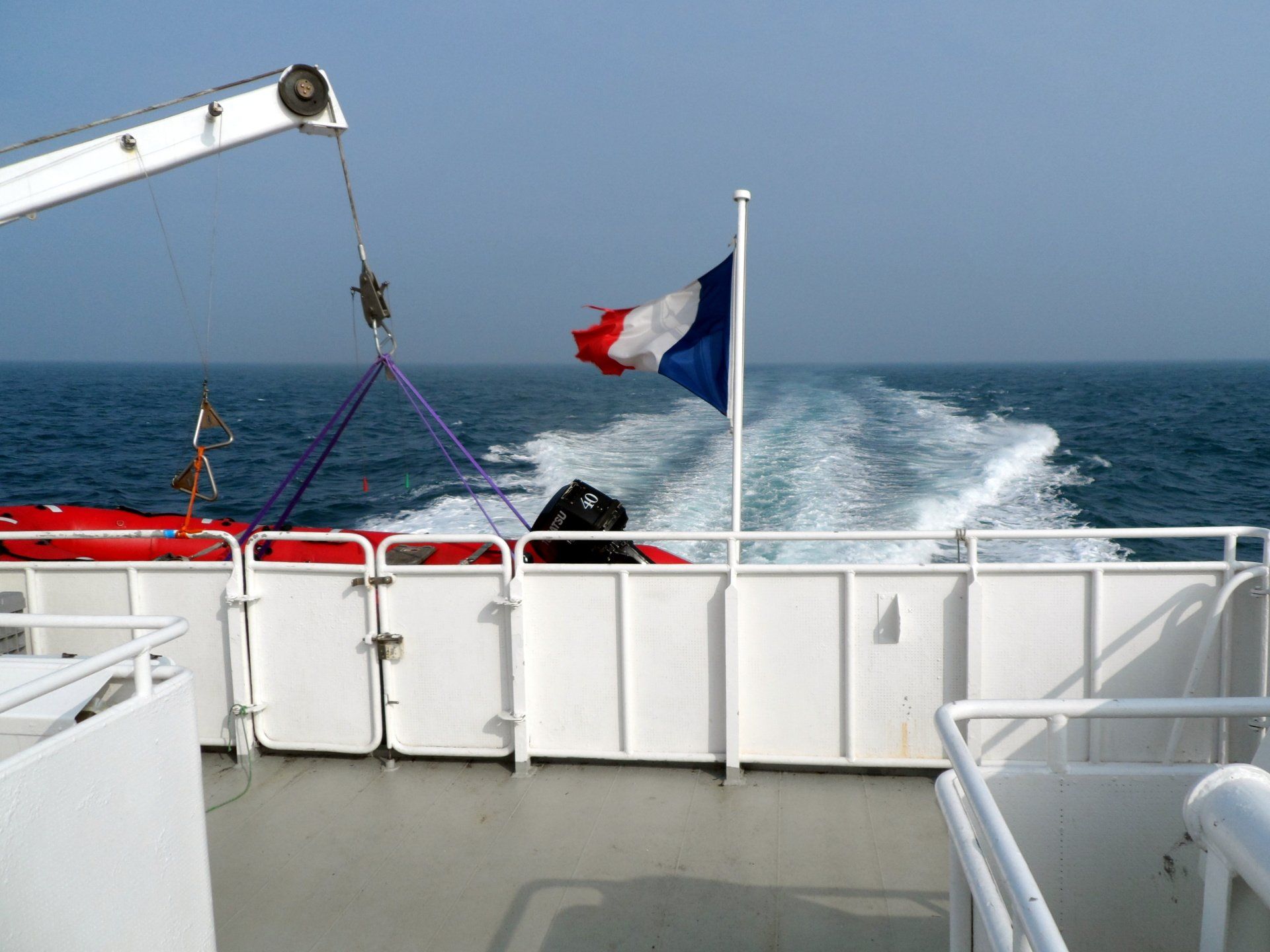
With calm conditions the ferry trip of 1 hr 20 mins is all fine, offering some good views of the South coast where I will be walking, albeit at this time everything is very hazy in the slightly foggy conditions.
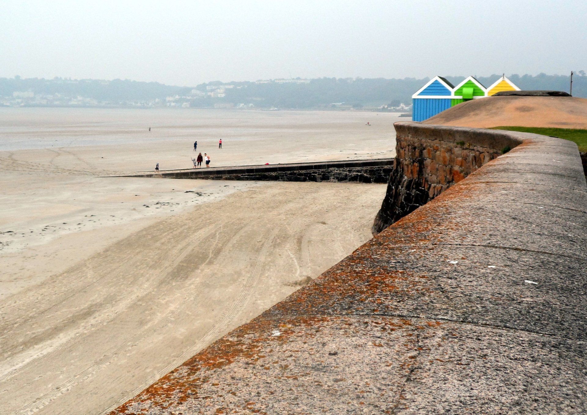
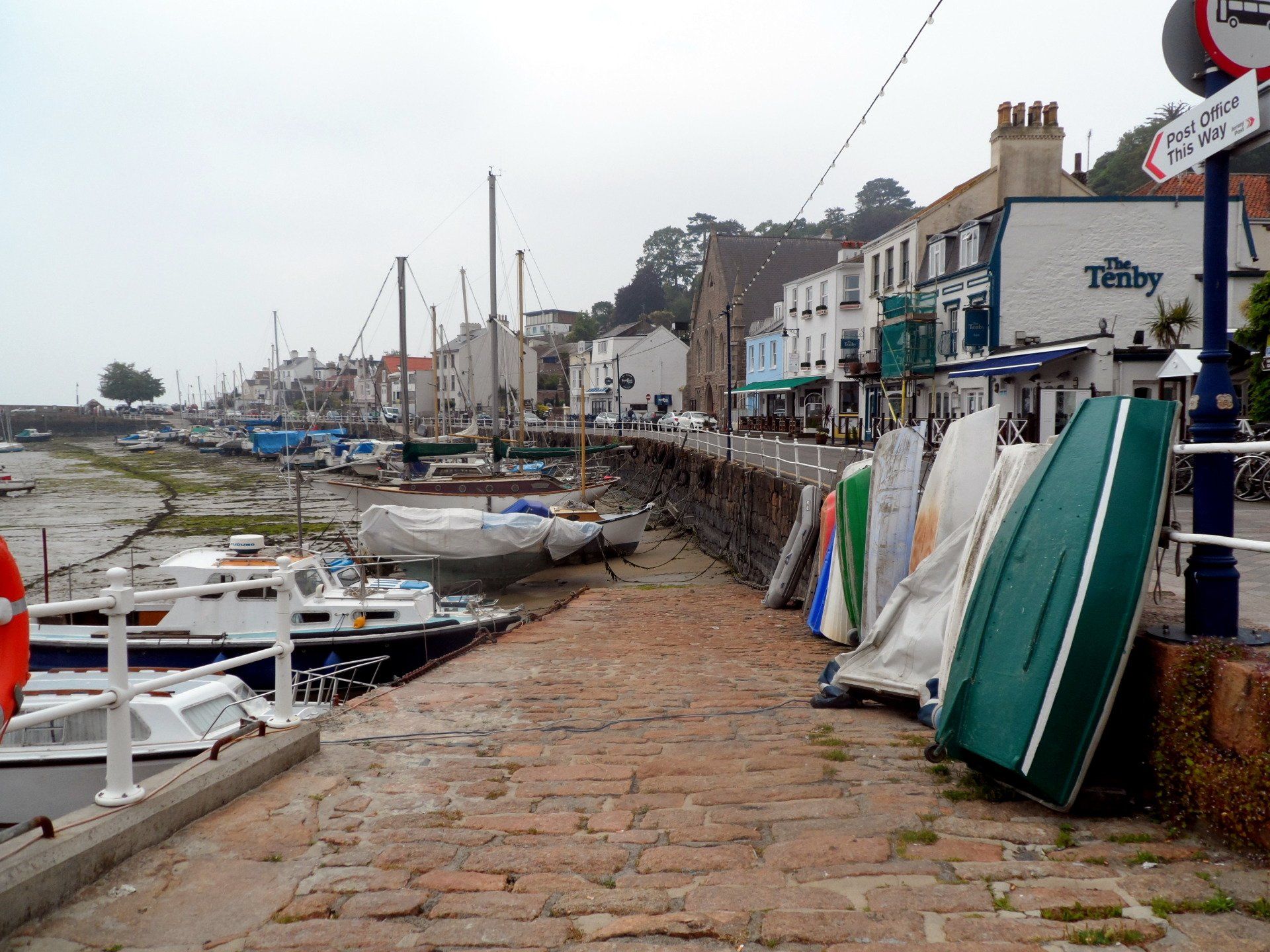
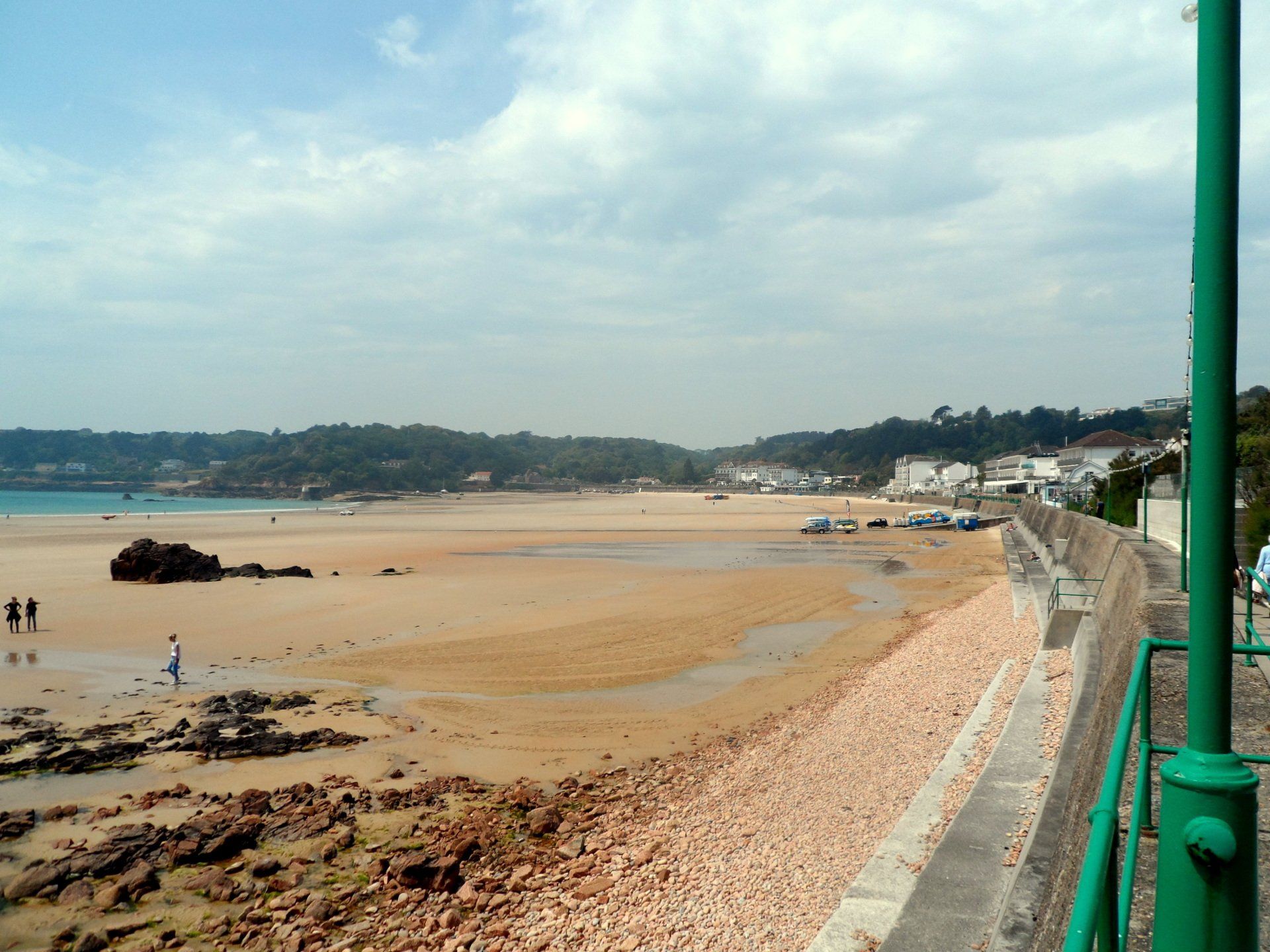
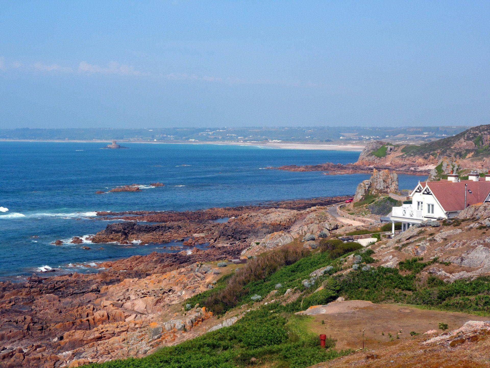
On docking at Albert Pier I load my backpack and set off, initially into the fairly built up St Helier and it’s spawning office blocks, but soon leave that behind. On my previous trips around Jersey I have travelled anti-clockwise, so for a bit of a change I go West to take the clockwise route. There is a promenade running the length of St Aubin’s Bay, for nearly 3 miles until the “village” of St Aubin is reached at the far end. The promenade has the sands of the beach stretching out to the left (tide out again!) and the main road somewhat off to the right, the promenade itself busy with joggers, cyclists, families pottering along. All pleasant enough but to be honest I put my tunes on and zone out a bit!
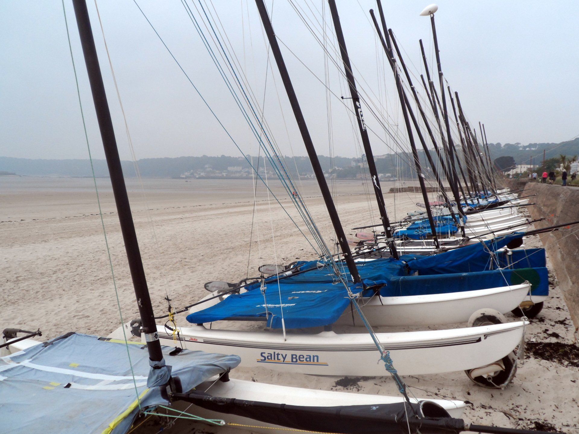
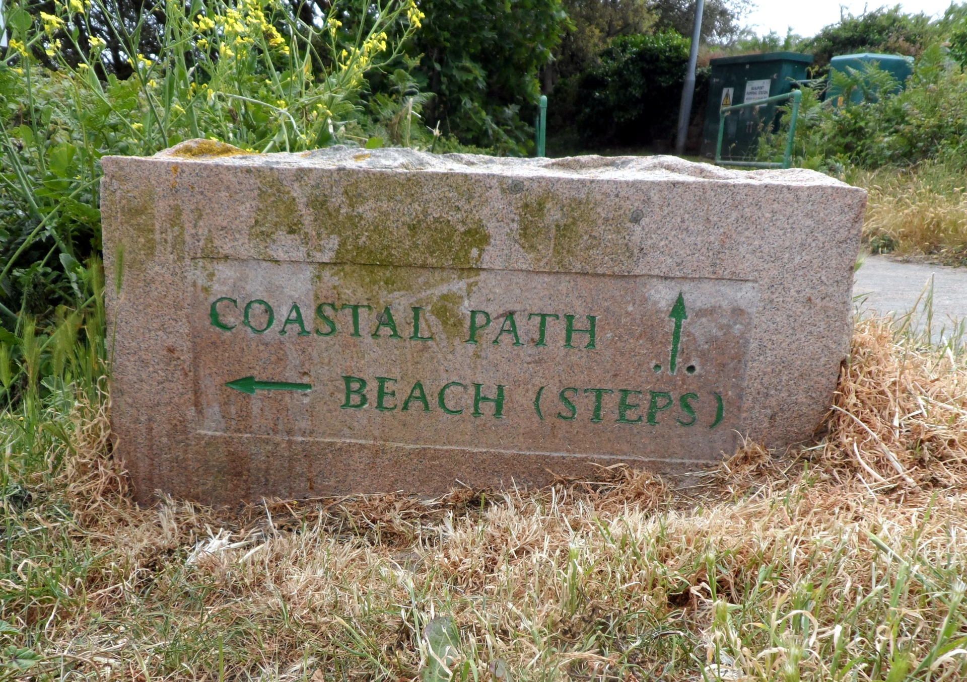
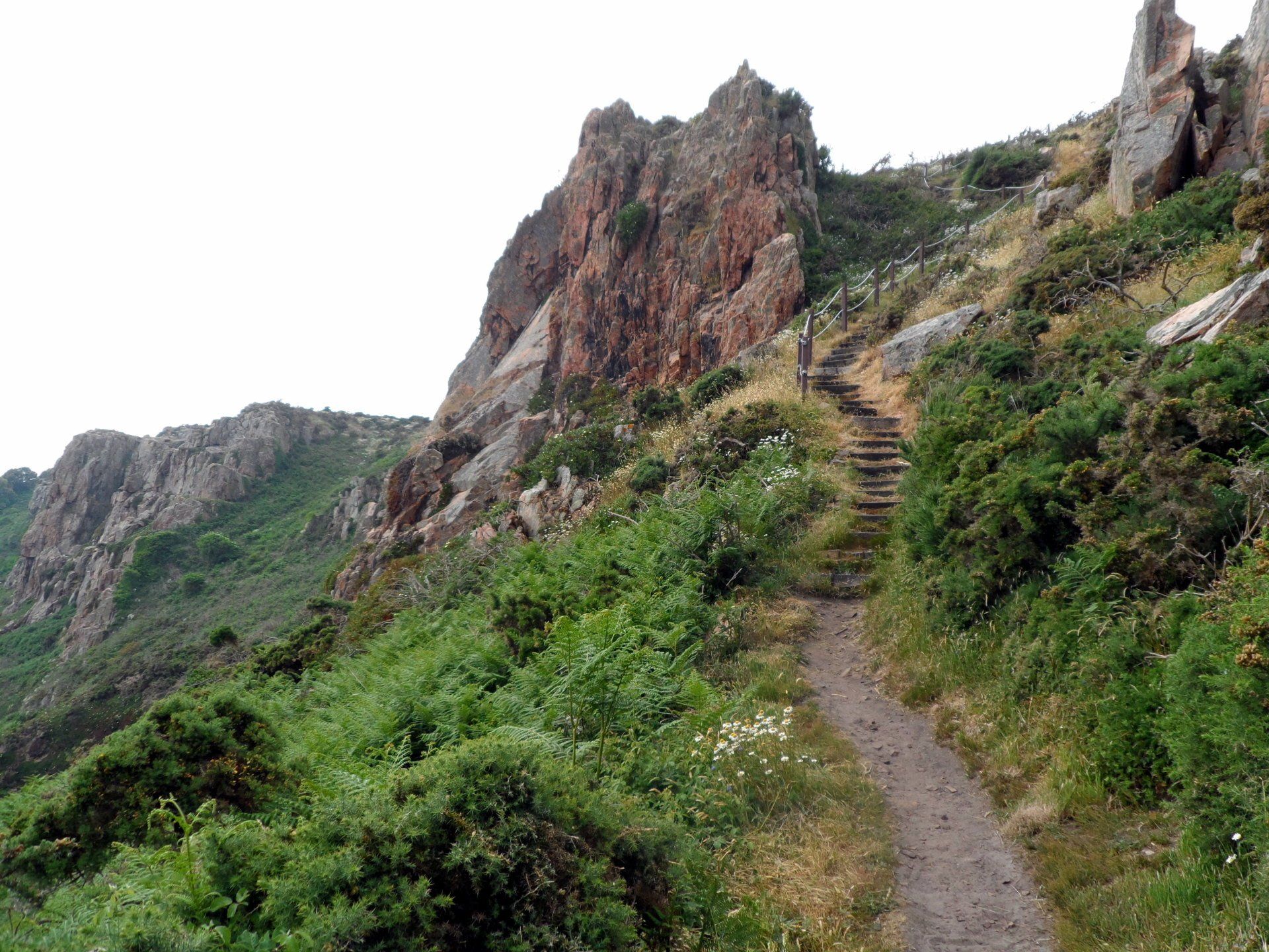
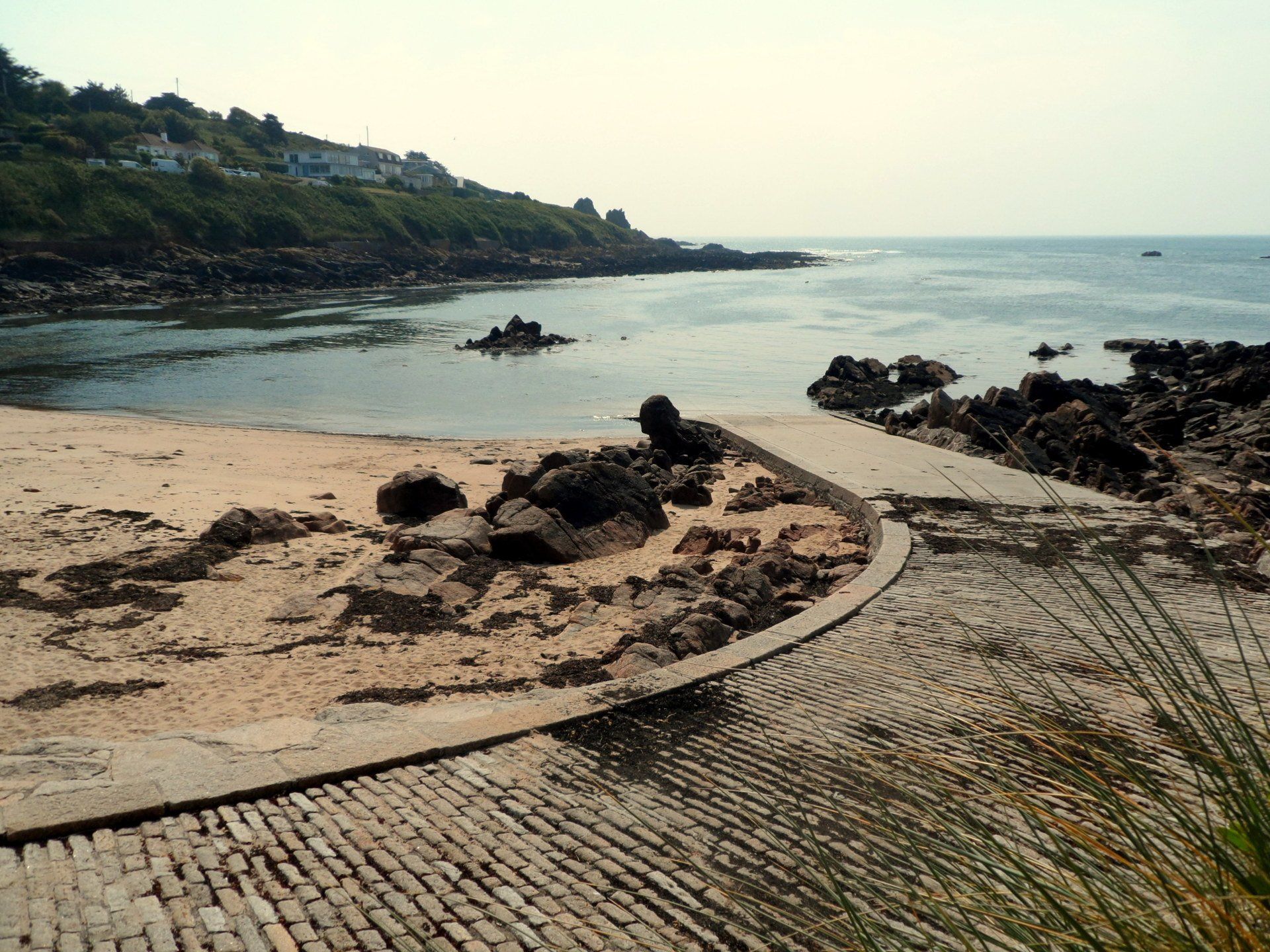
Reaching St Aubin, I pass through the small harbour area, the cafes (currently empty) lining the edge – on a nice evening and high tide this would be a great place to chill. I feel this marks the start of the walk proper, with a fairly steep hill leading up on to one of the 2 main headlands that make up the balance of the South coast.
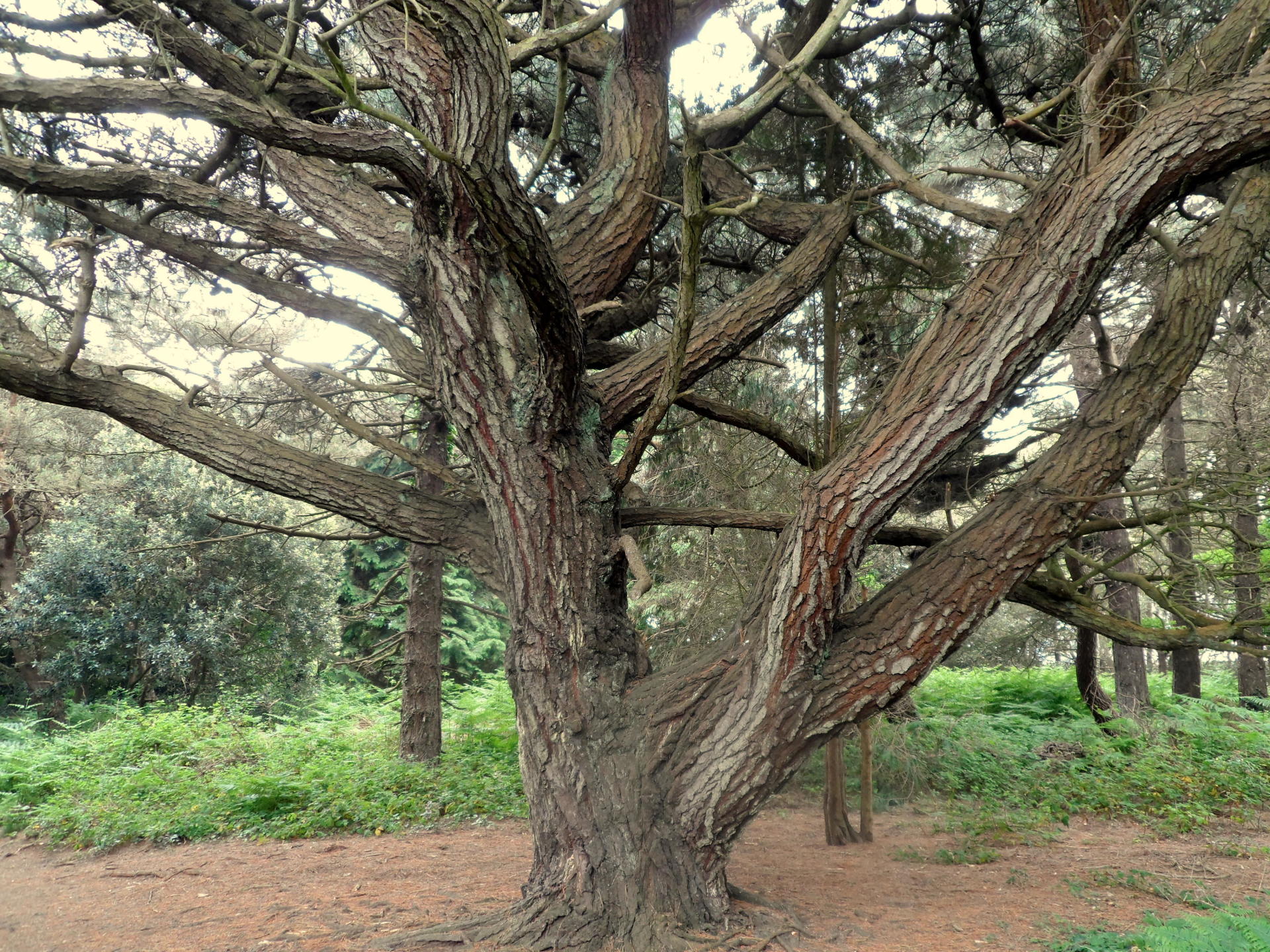
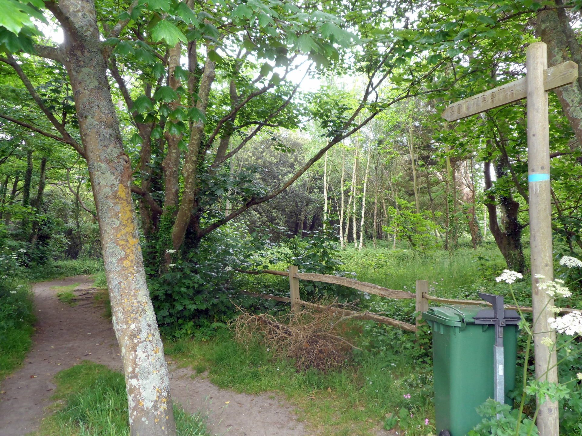
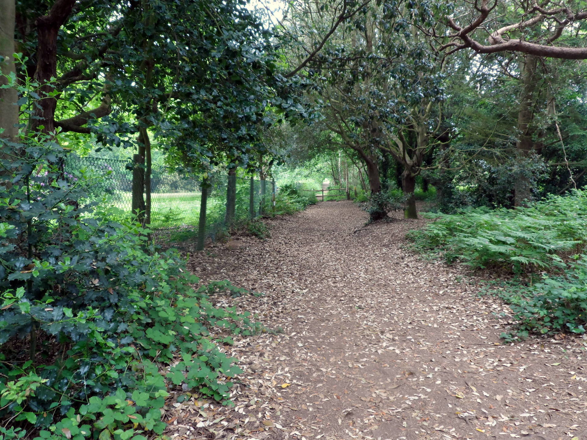
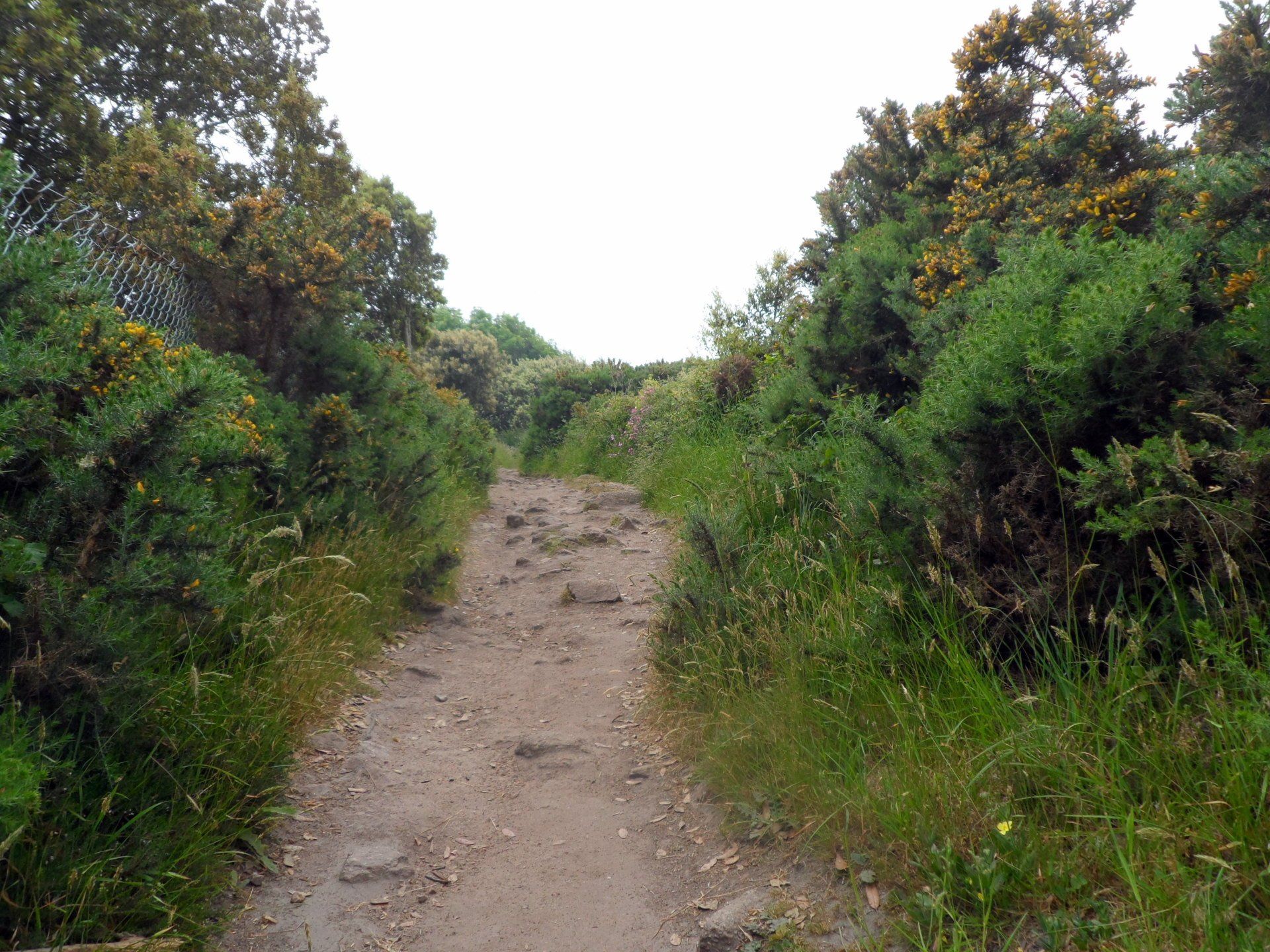
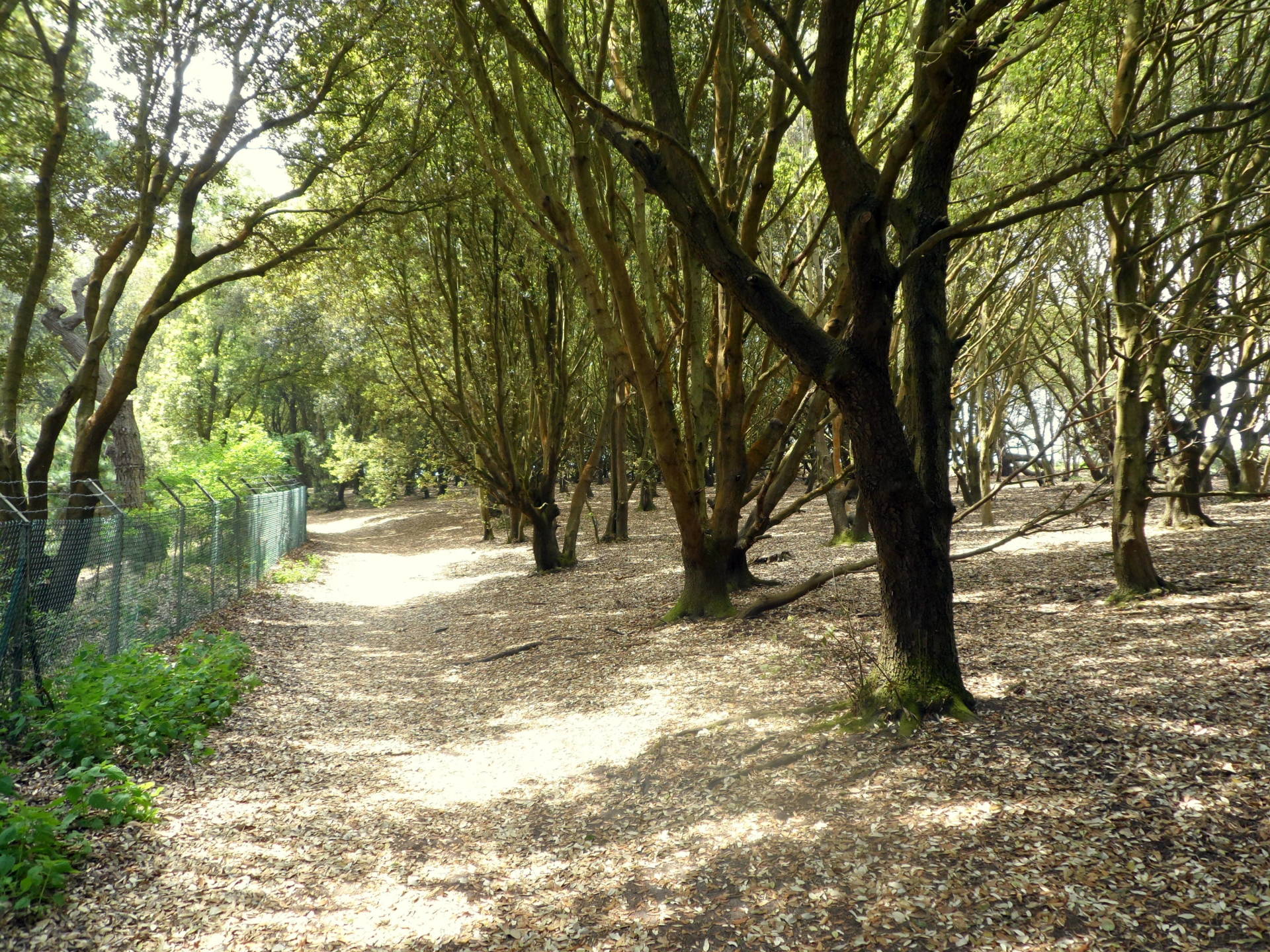
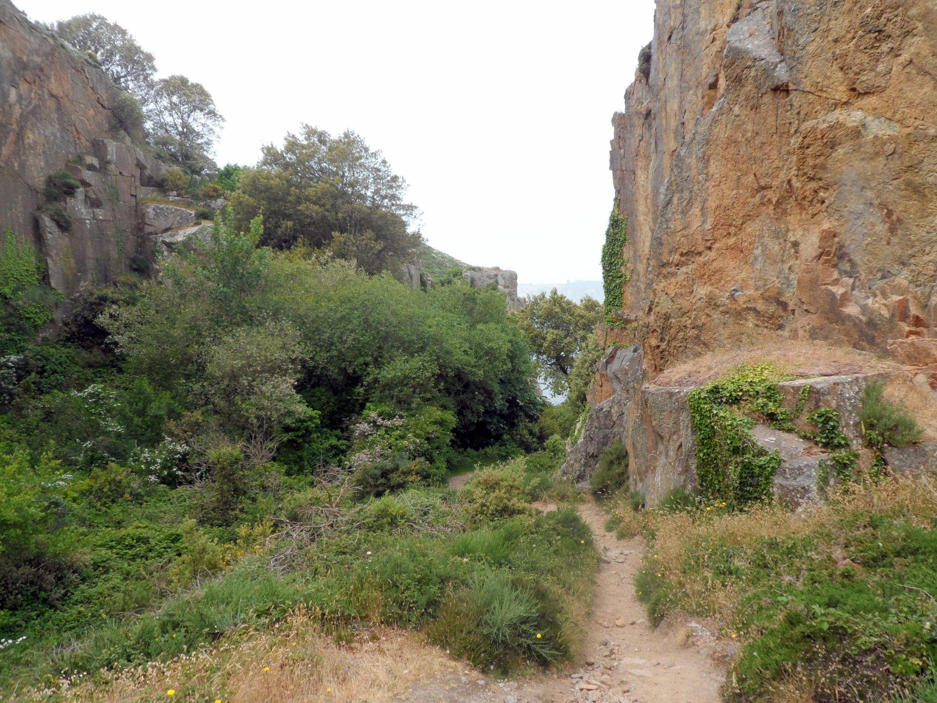
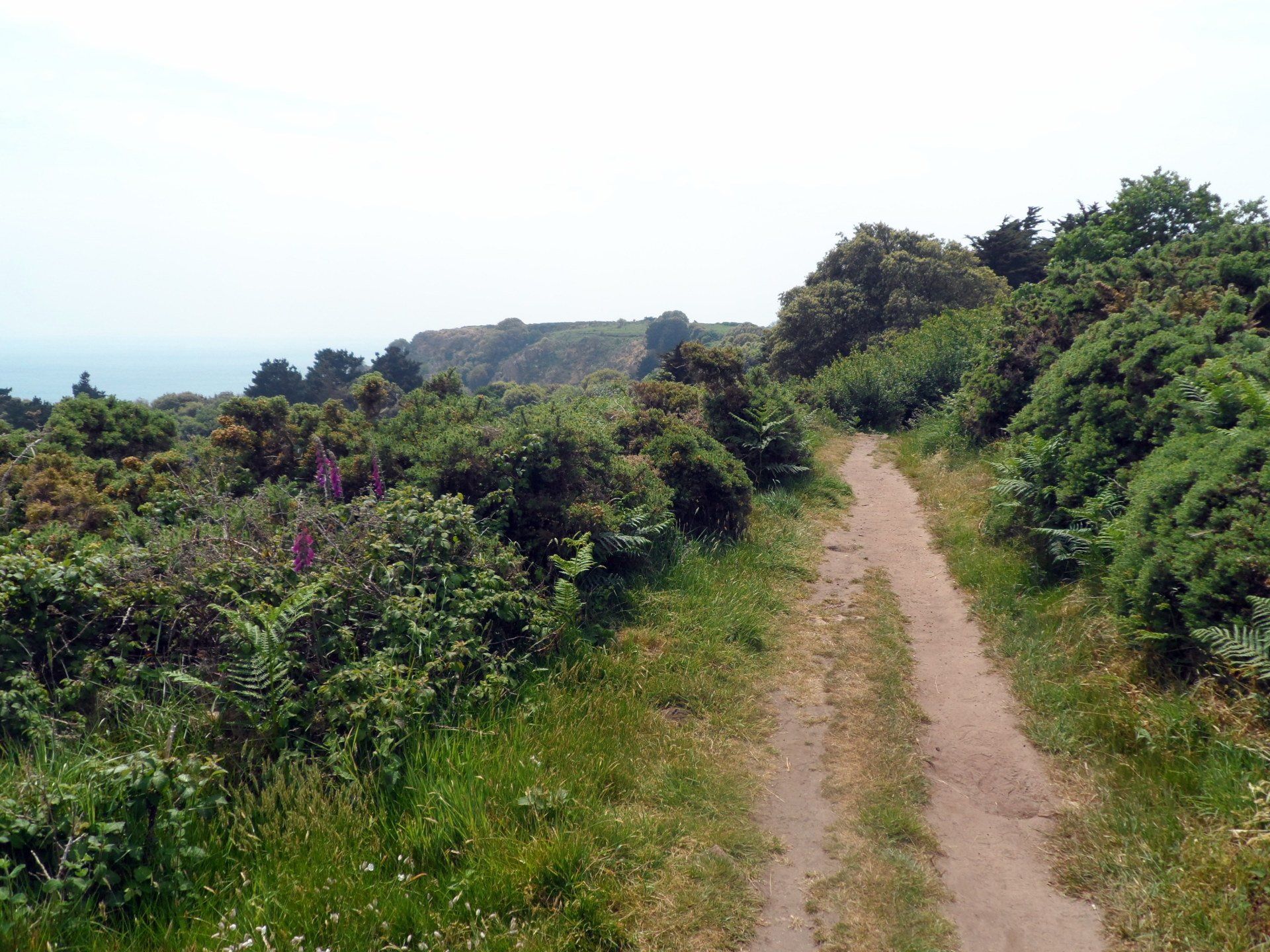
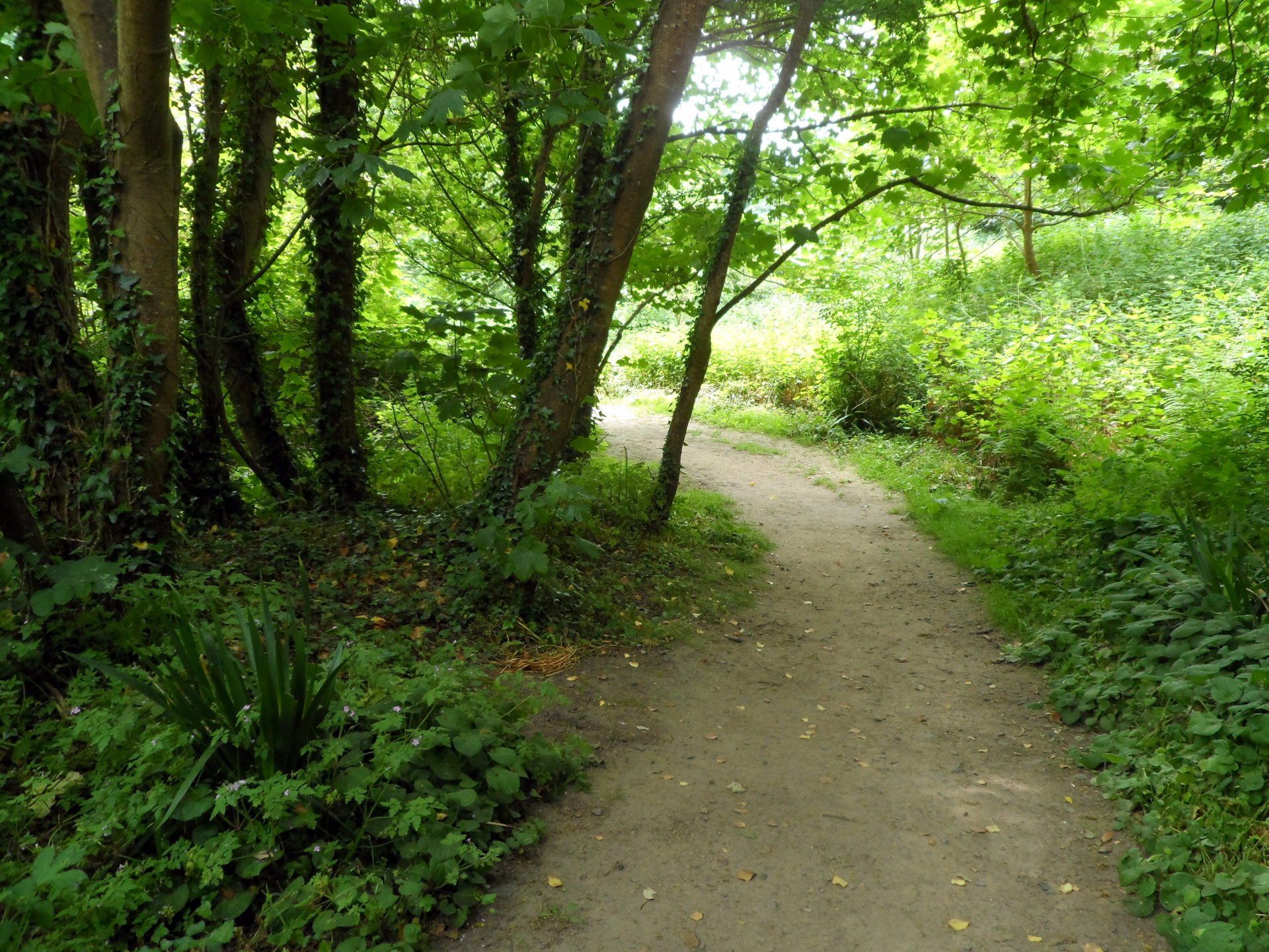
A short stretch of quiet lanes leads into a forest area, taking me into a complete change of scene. Also, potentially a change in weather. Whilst at first it had been warm, calm and rather hazy, now the skies are gathering thicker cloud, the wind is picking up and I feel a few spots of rain. Fortunately, this comes to nothing, indeed the wind seems to move the weather on and the clouds begin to dissipate…blue skies start to emerge!
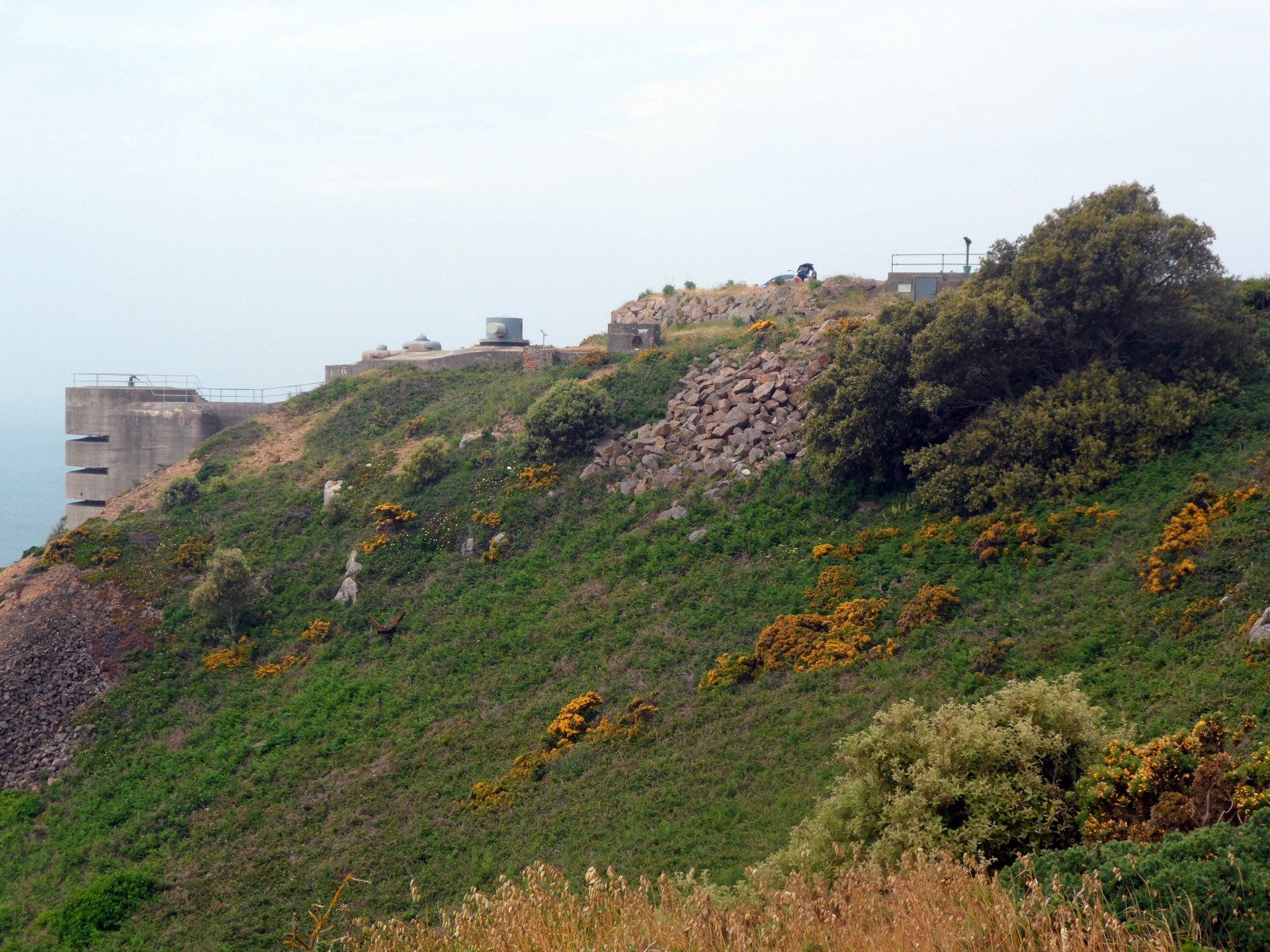
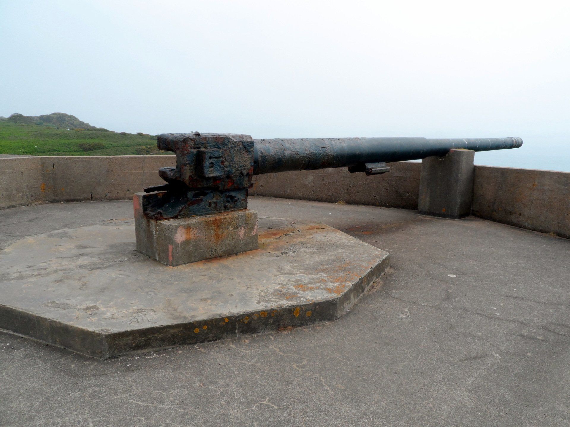
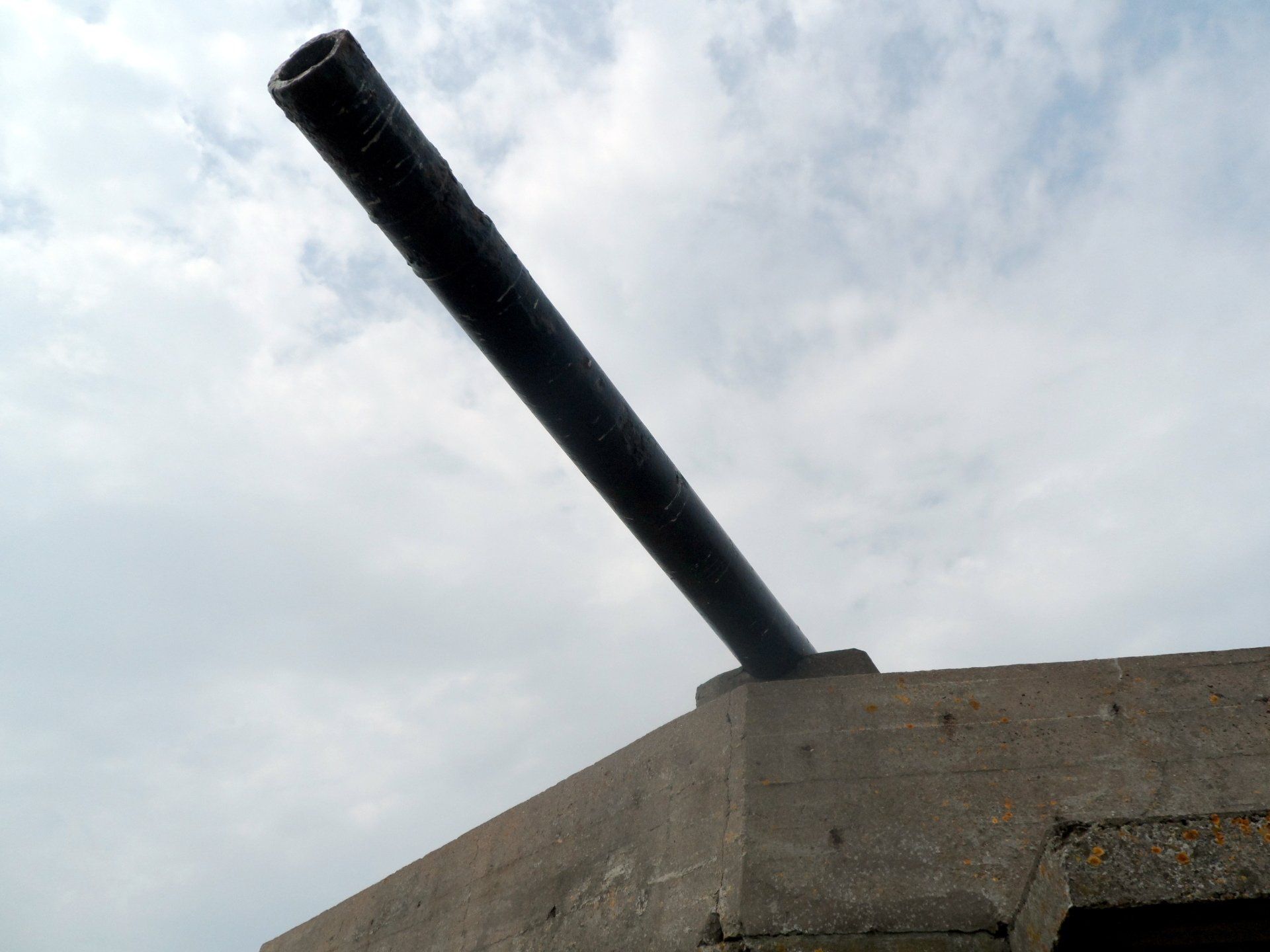
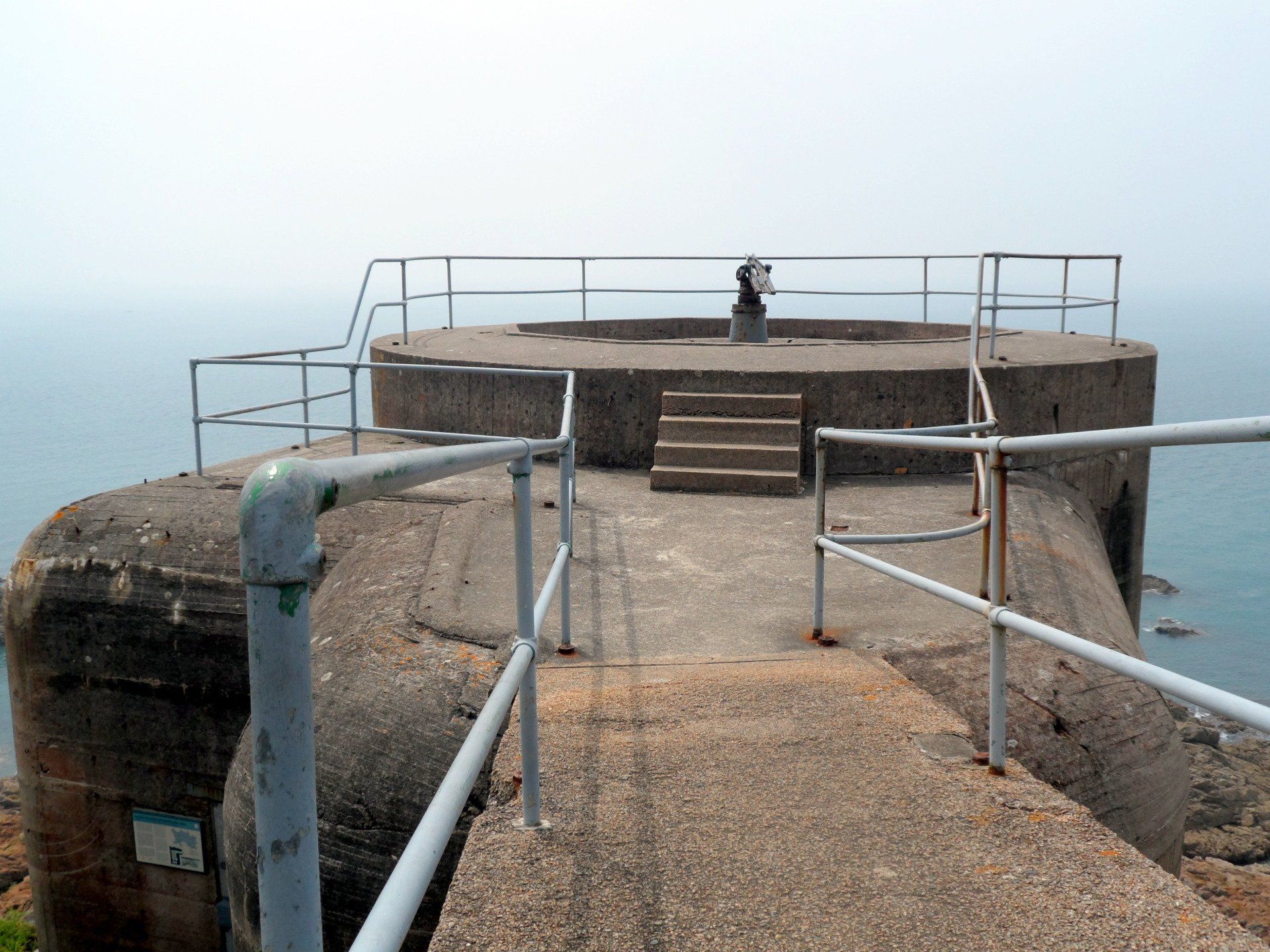
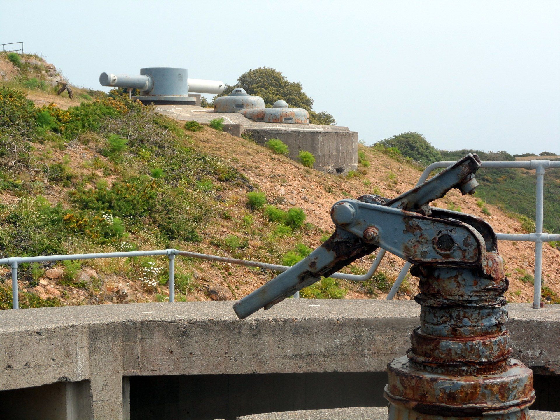
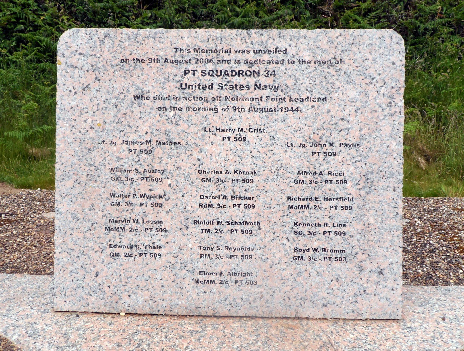
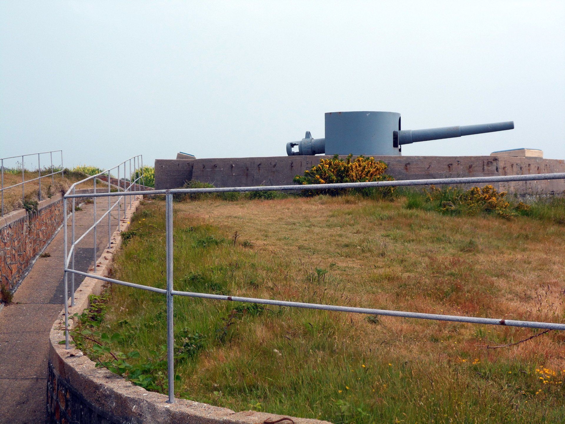
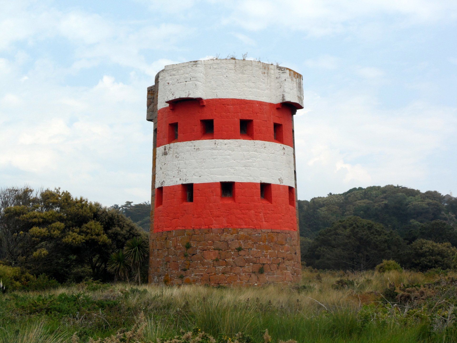
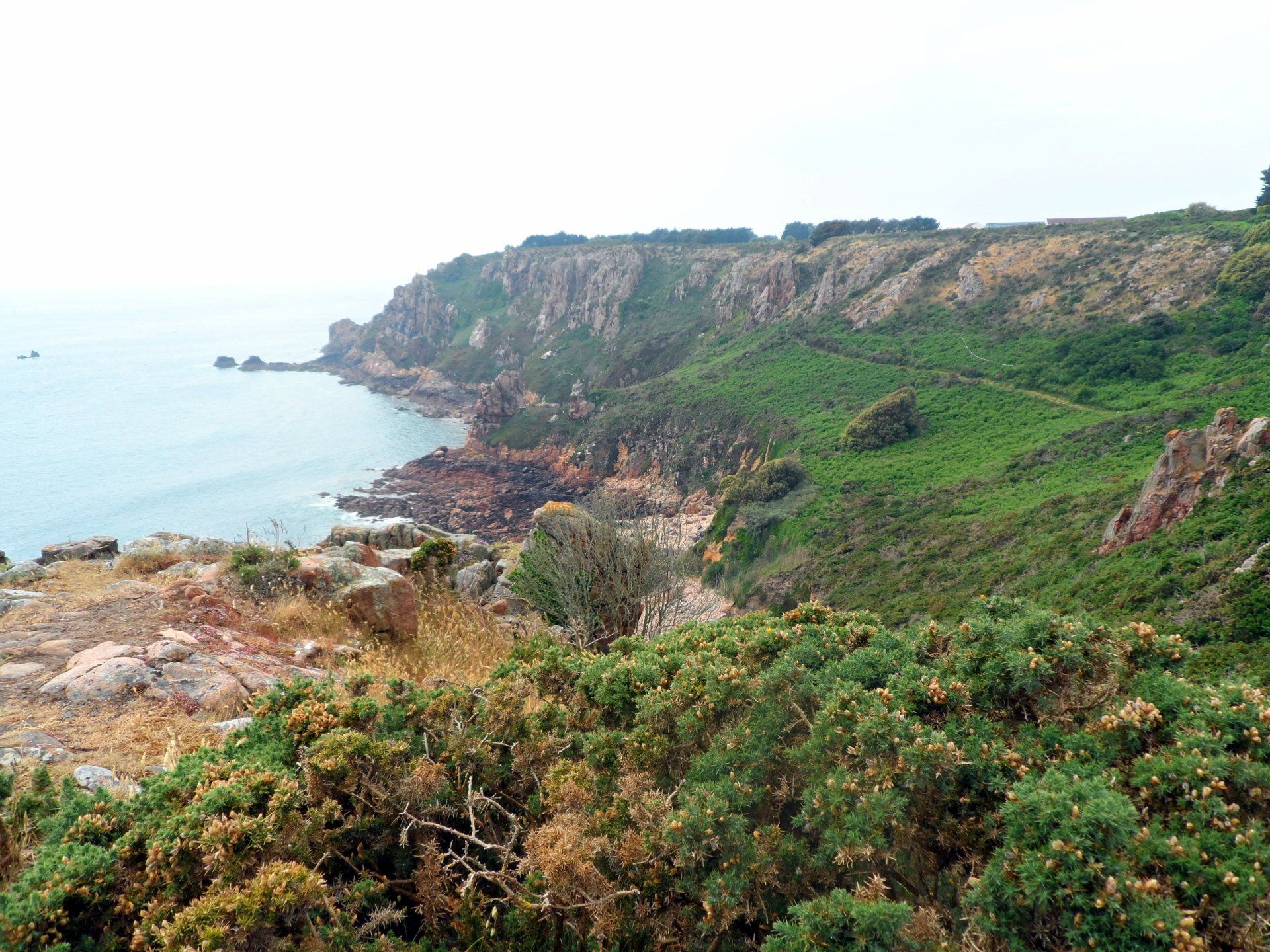
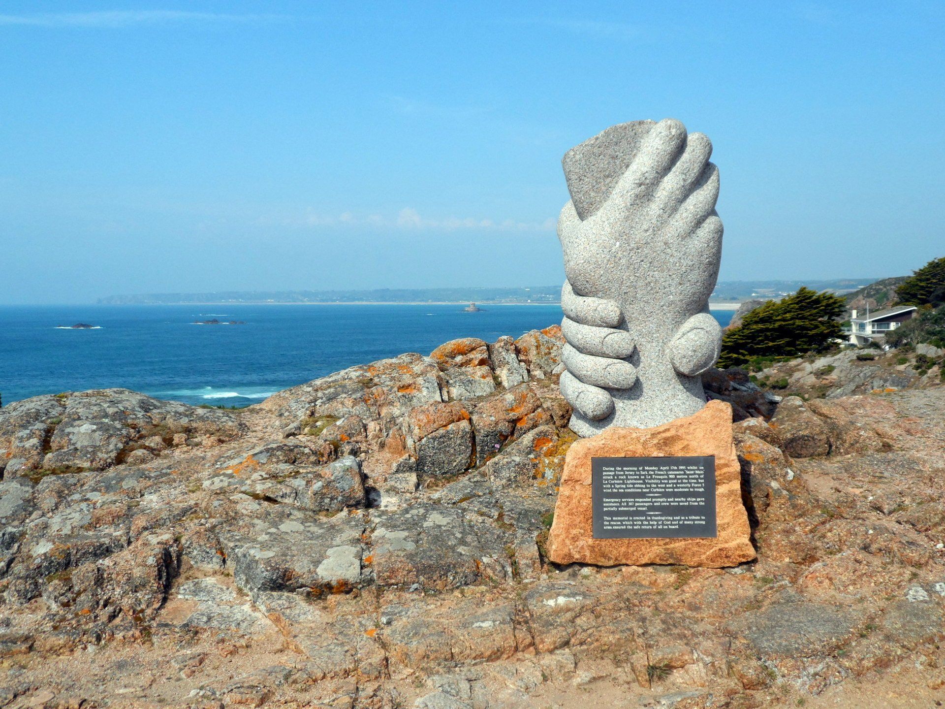
The forest ebbs into more open, rough terrain and I soon spy some old WWII fortifications. This is Noirmont headland, a site of several bunkers, outposts and gun batteries. I have a good look around, reading the information signs. One of particular note documents an engagement on 9th August 1944 which resulted in the greatest loss of life for the US Navy PT Boat service in a single engagement in the entire war. A memorial stone lists the 16 names from PT Squadron 34.
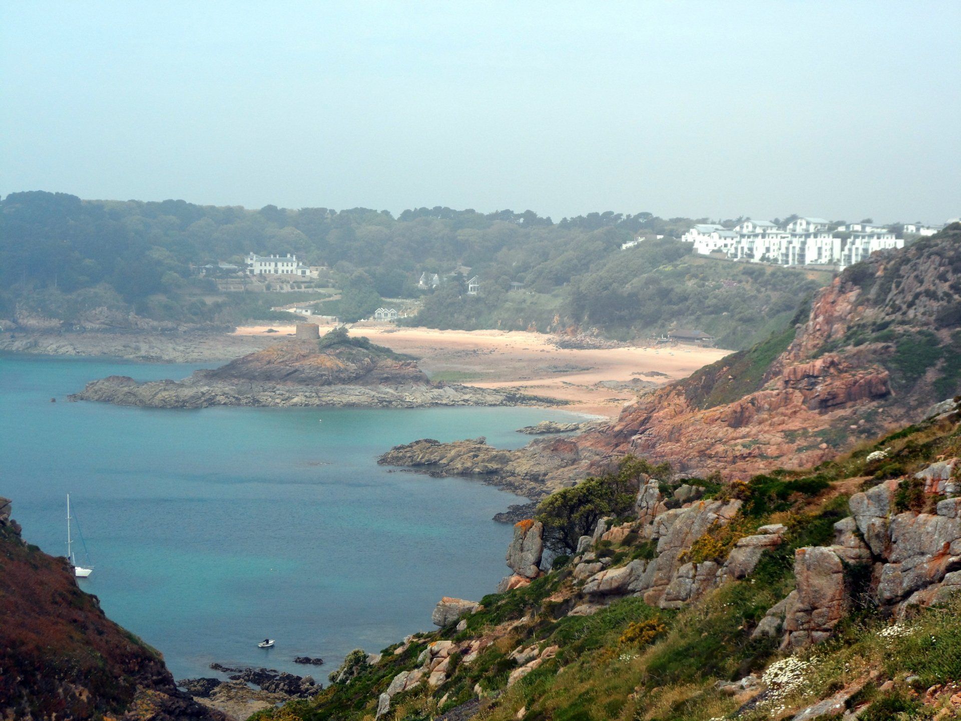
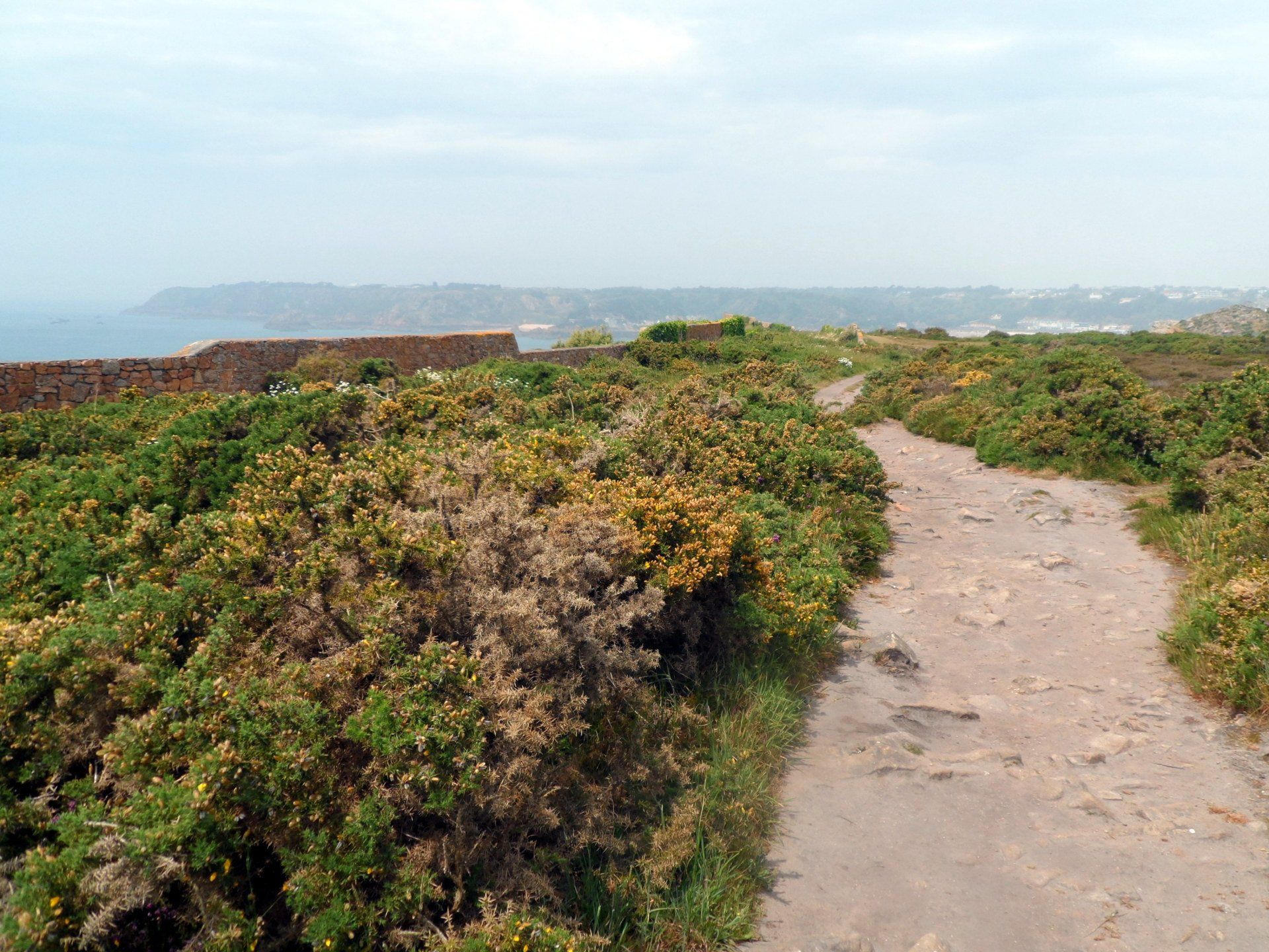
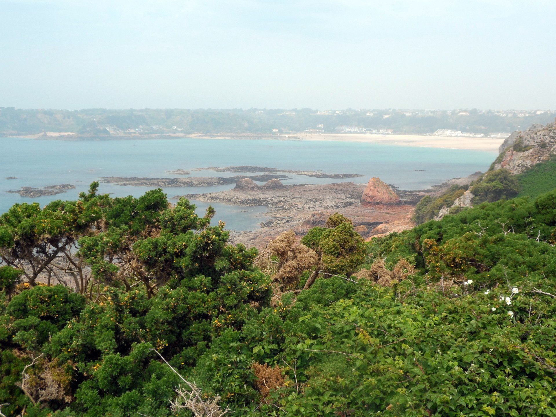
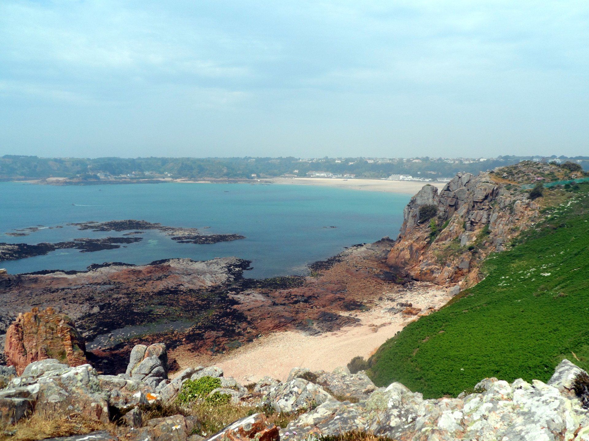
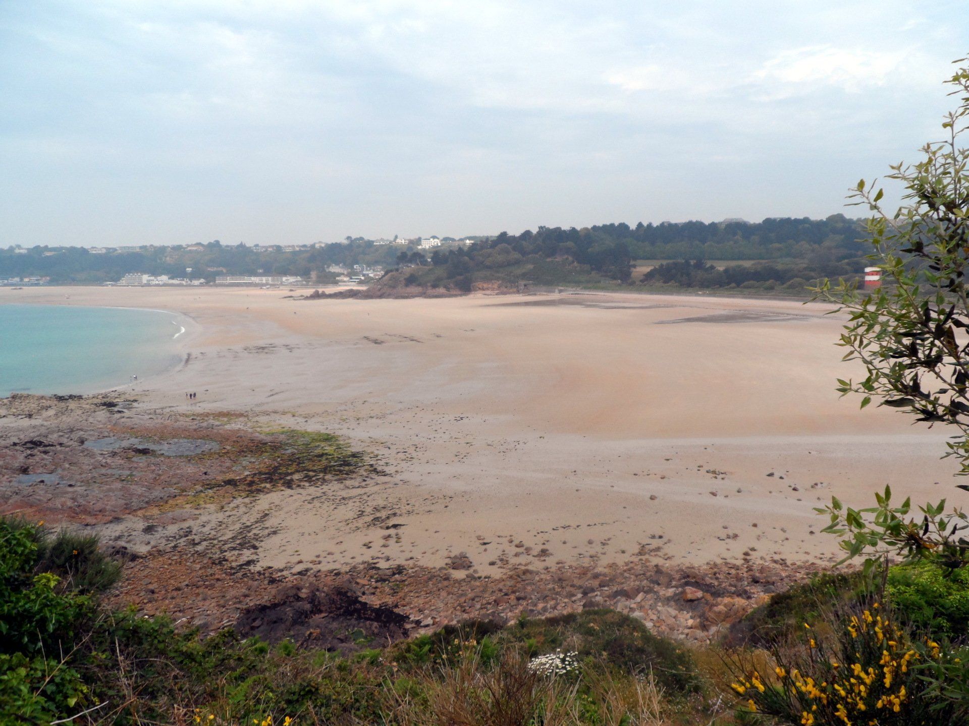
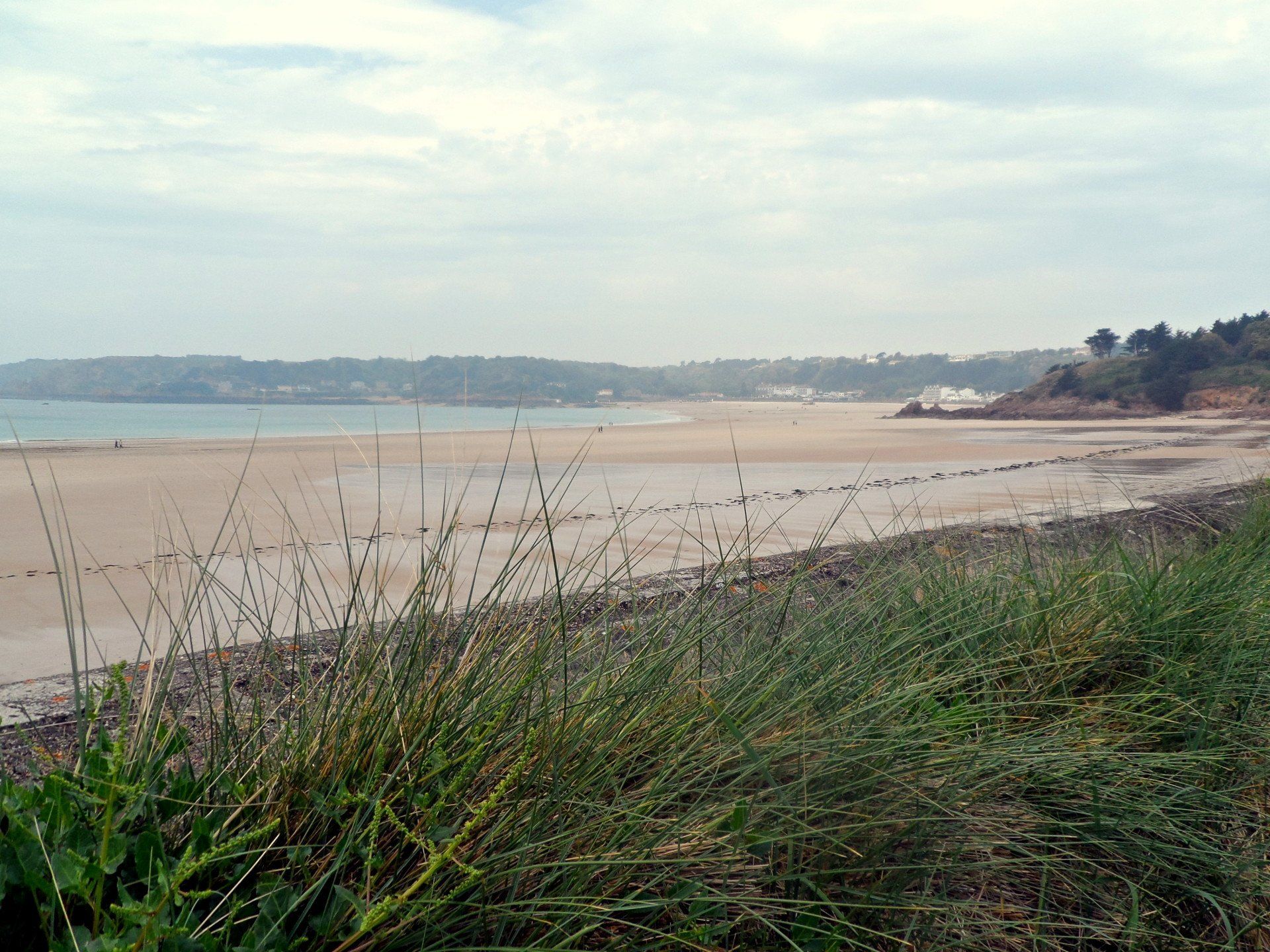
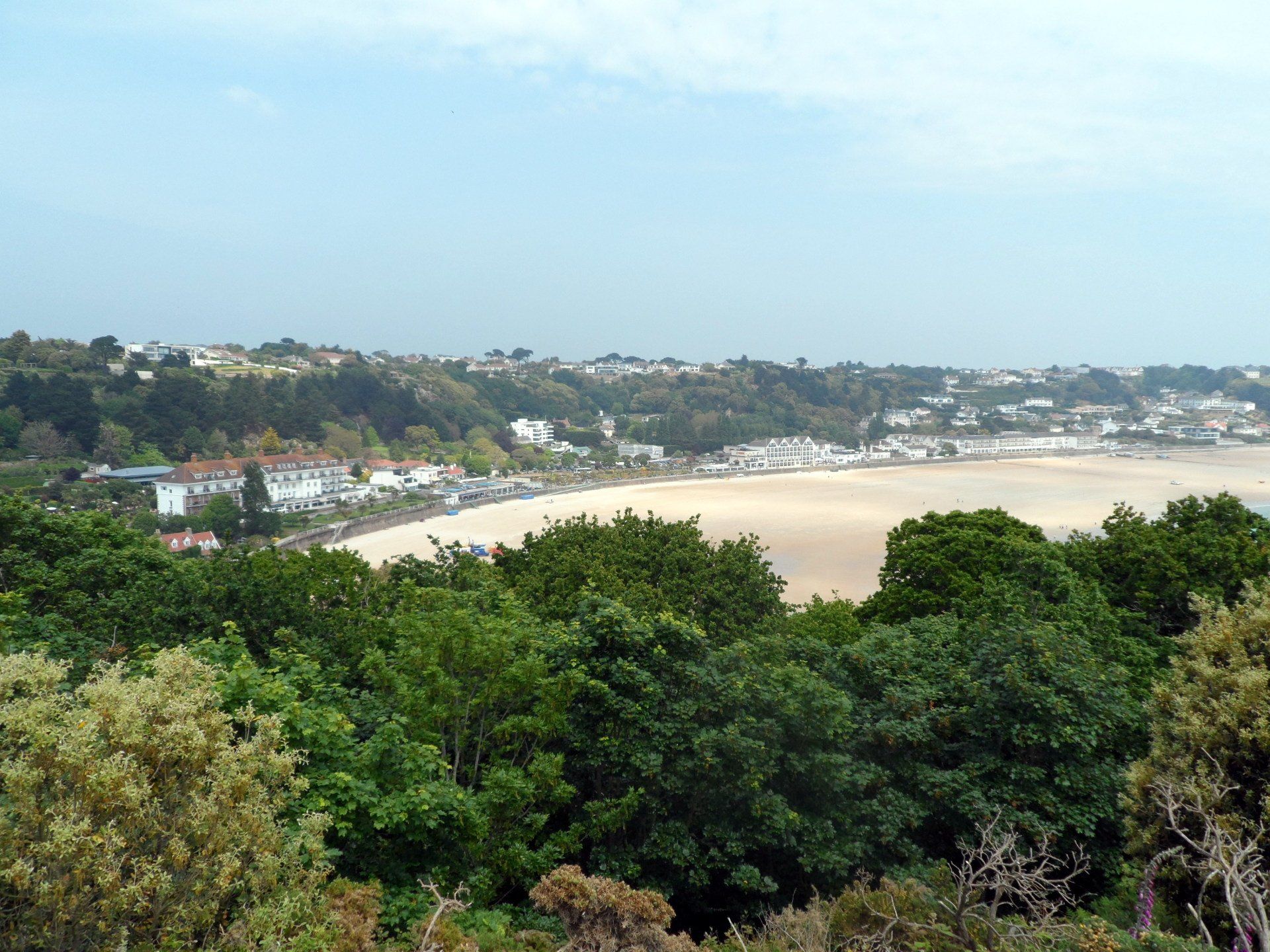
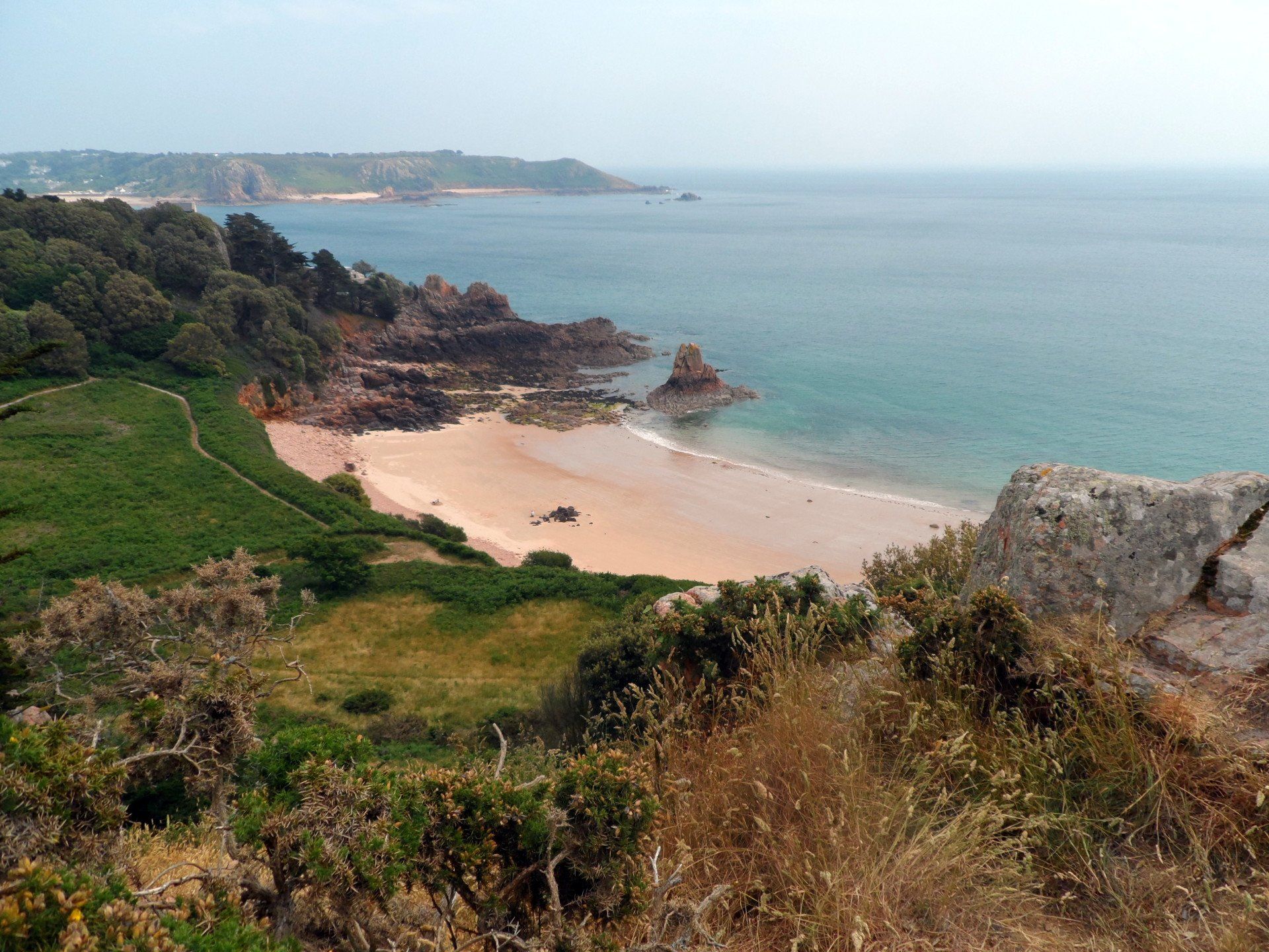
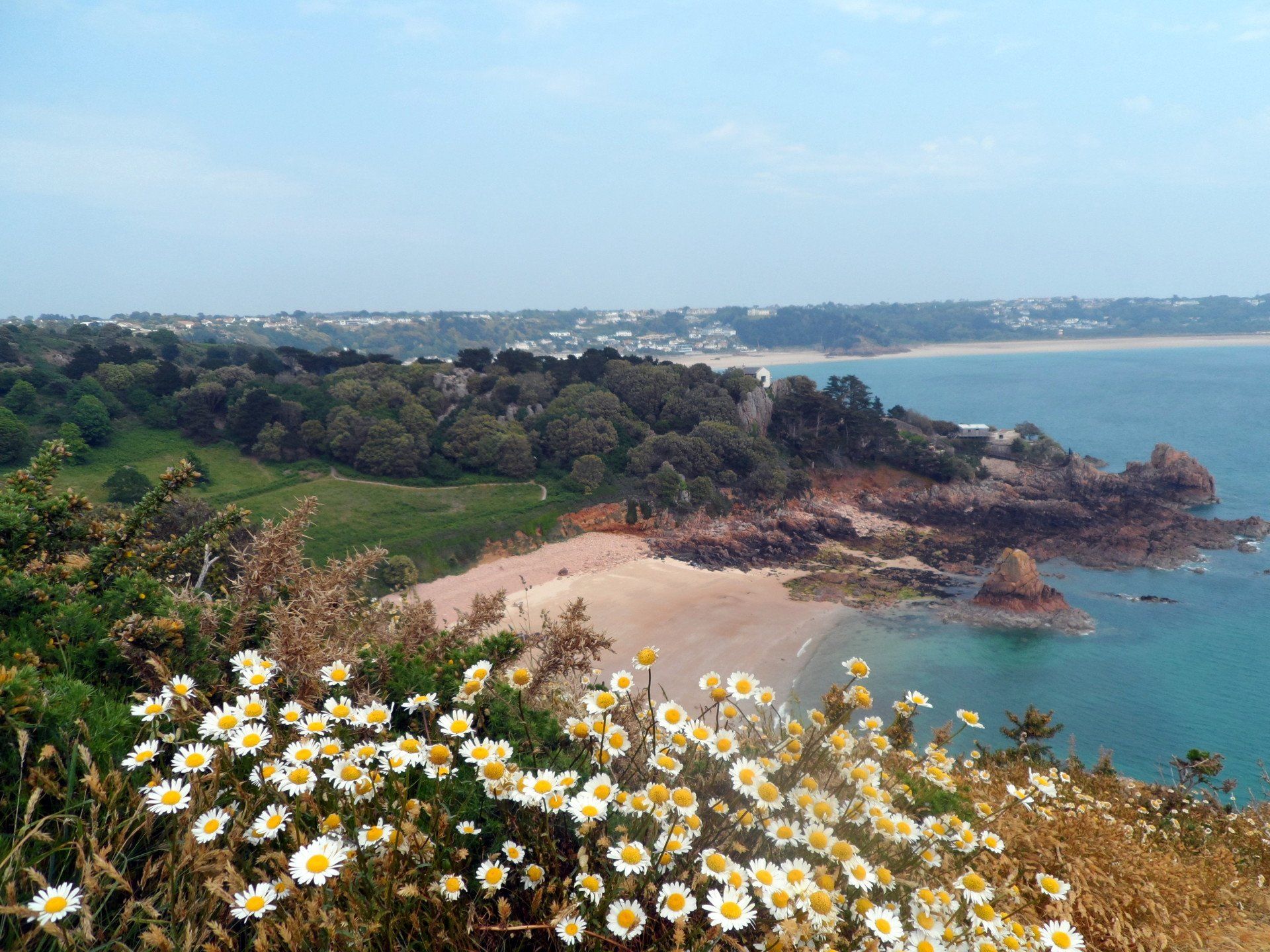
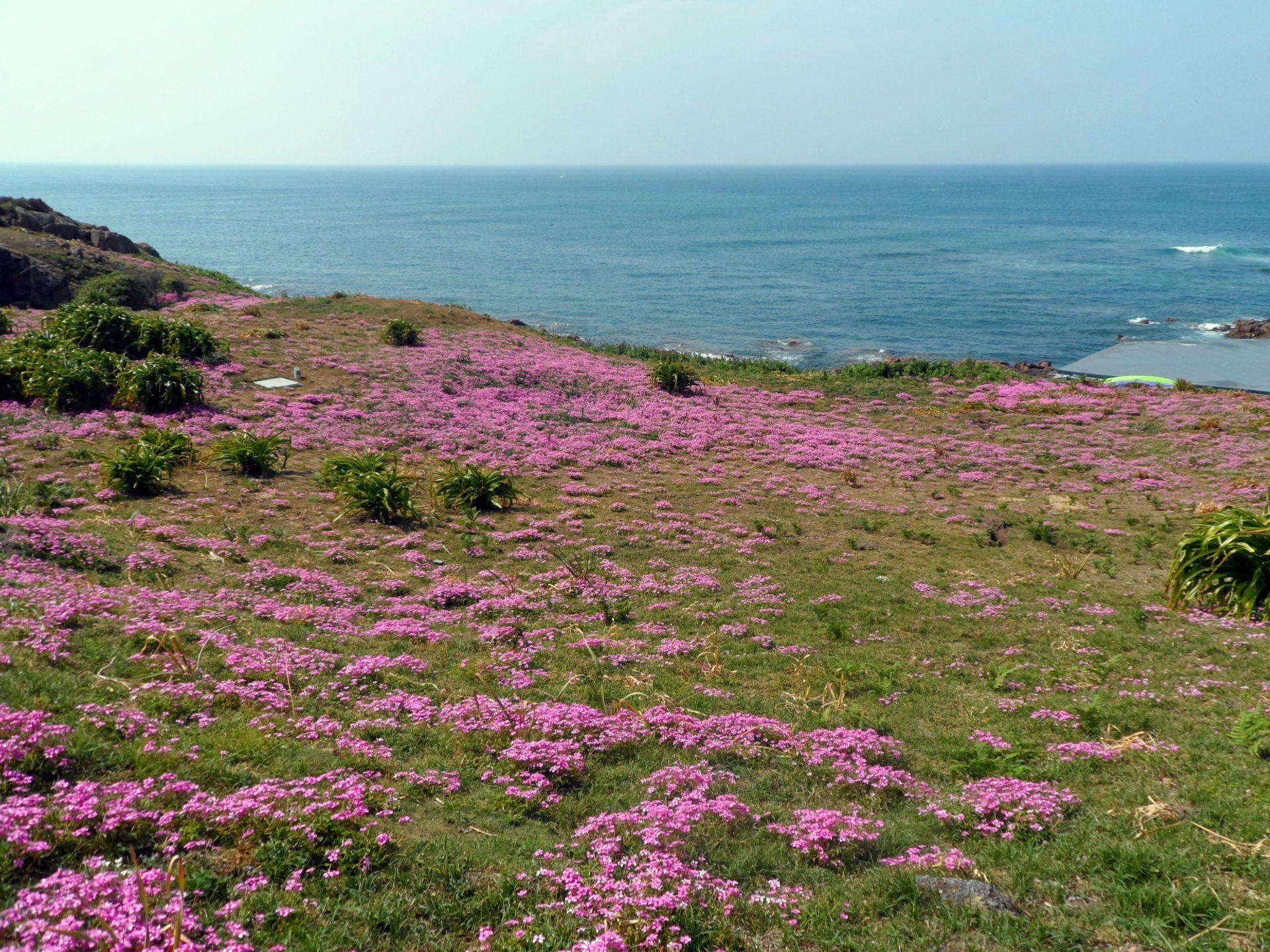
Leaving the area I follow some paths through gorse and ferns to overlook Portelet Bay, then make my way inland around a variety of paths and roads behind the bay (and some of the fancy looking apartment blocks) to reach the other side. A short stretch through some lovely forest paths leads to quite a wild looking headland, filled with heather (must be quite a sight when in colour). I divert around Portelet common nature reserve, then through the trails of heather and gorse to have my first proper view of St Brelade’s Bay and beach – a rather marvellous stretch of clean sand.
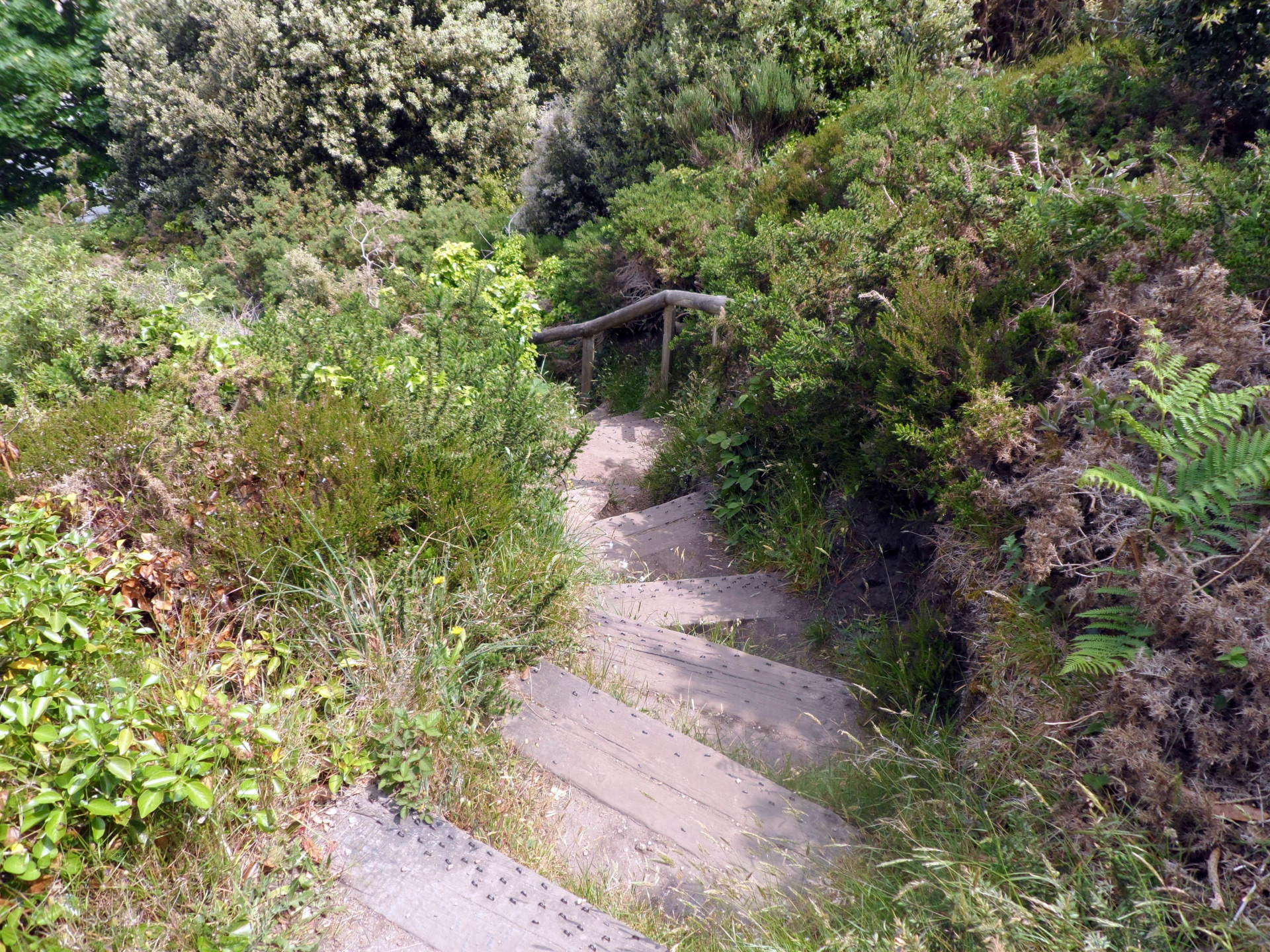
I clamber down to beach level via the rocky path (a path when approached from the other direction is totally hidden and completely baffled me on my first attempt to find all those years ago!). I am tempted to walk along the sands but stick to land and after a short but steep ‘up and over’ promontory I reach the cafes, shops and tourists of St Brelades.
I am about half way distance and it is lunch time so I sit outside at pizza express, kick off the boots and enjoy a pizza and coke. By this time, the sun really seems to have forced through and other than some high cloud and that pesky haze it is a warm (to hot) summers day – go figure!
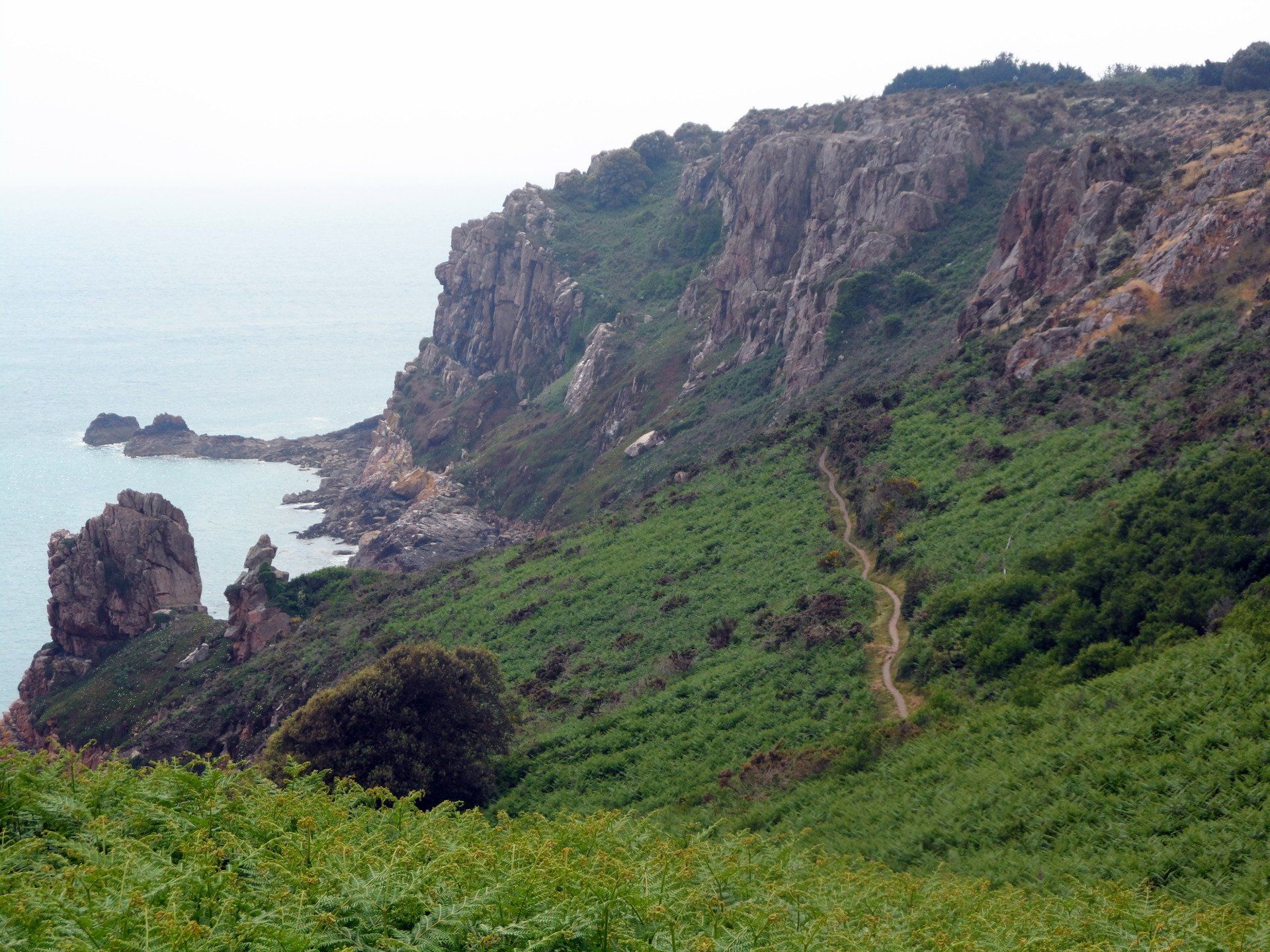
Suitably refreshed I stock up on more water and set off up on to the second South coast headland. A steep trail takes me above the bay then through some roughish terrain to overlook another small bay, I think Beauport. It would be a fair hike down there but another beautiful (and in this case isolated) beach.
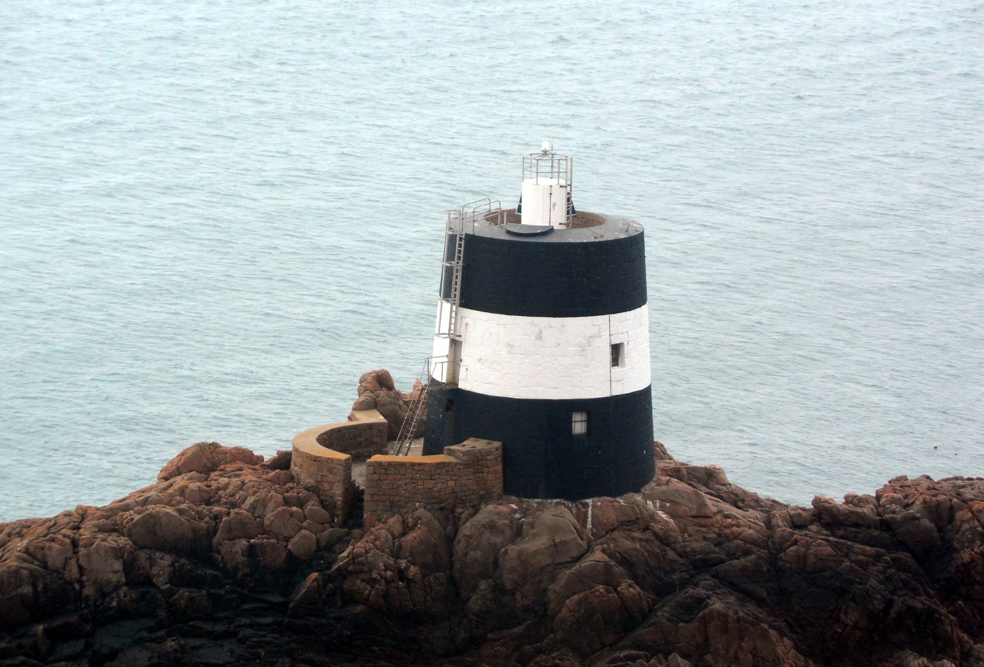
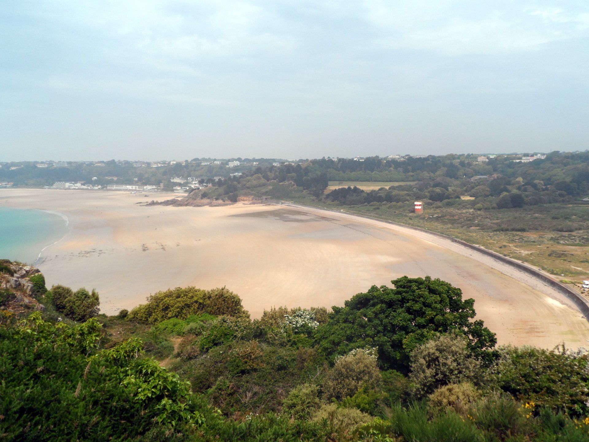
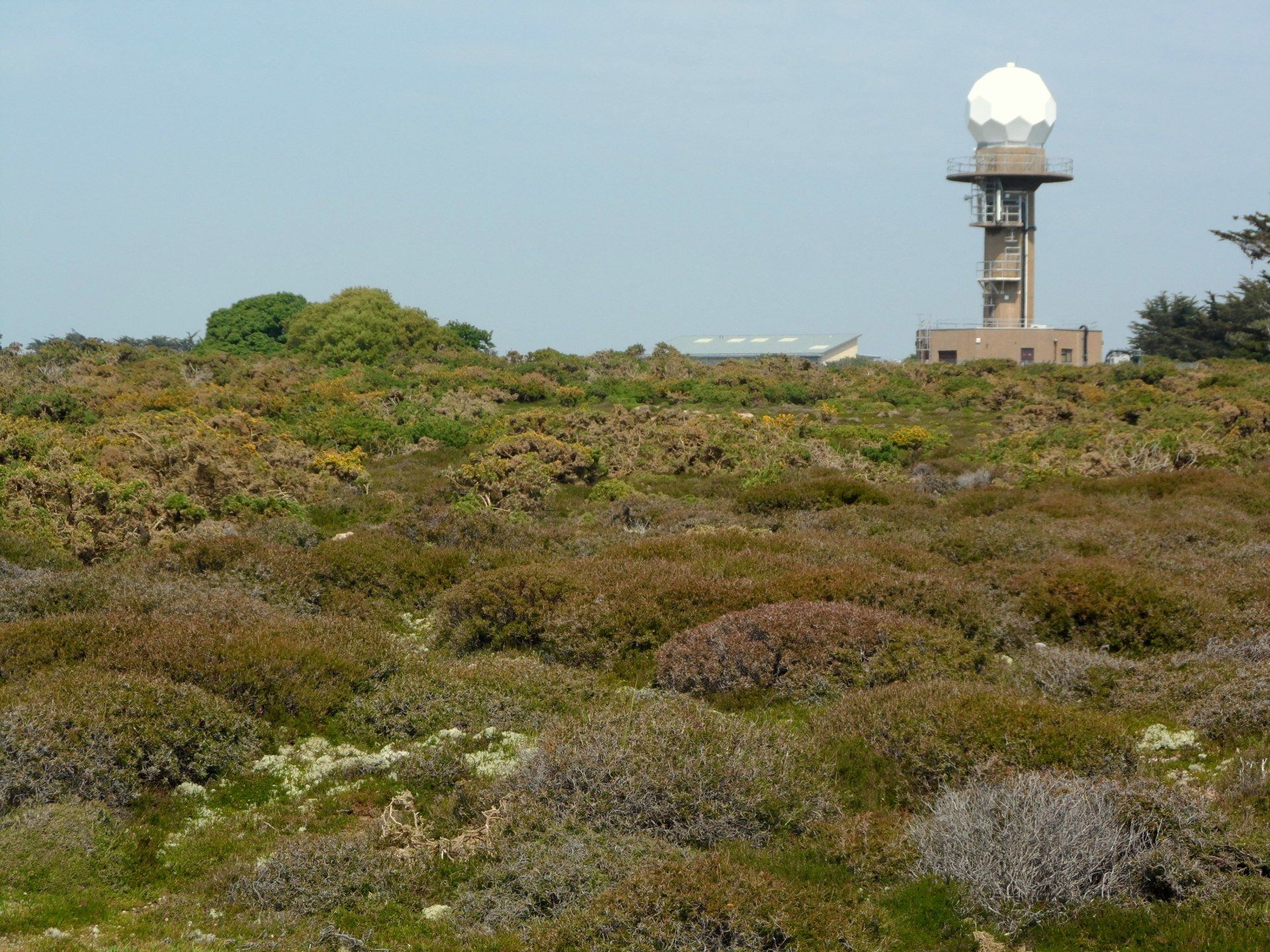
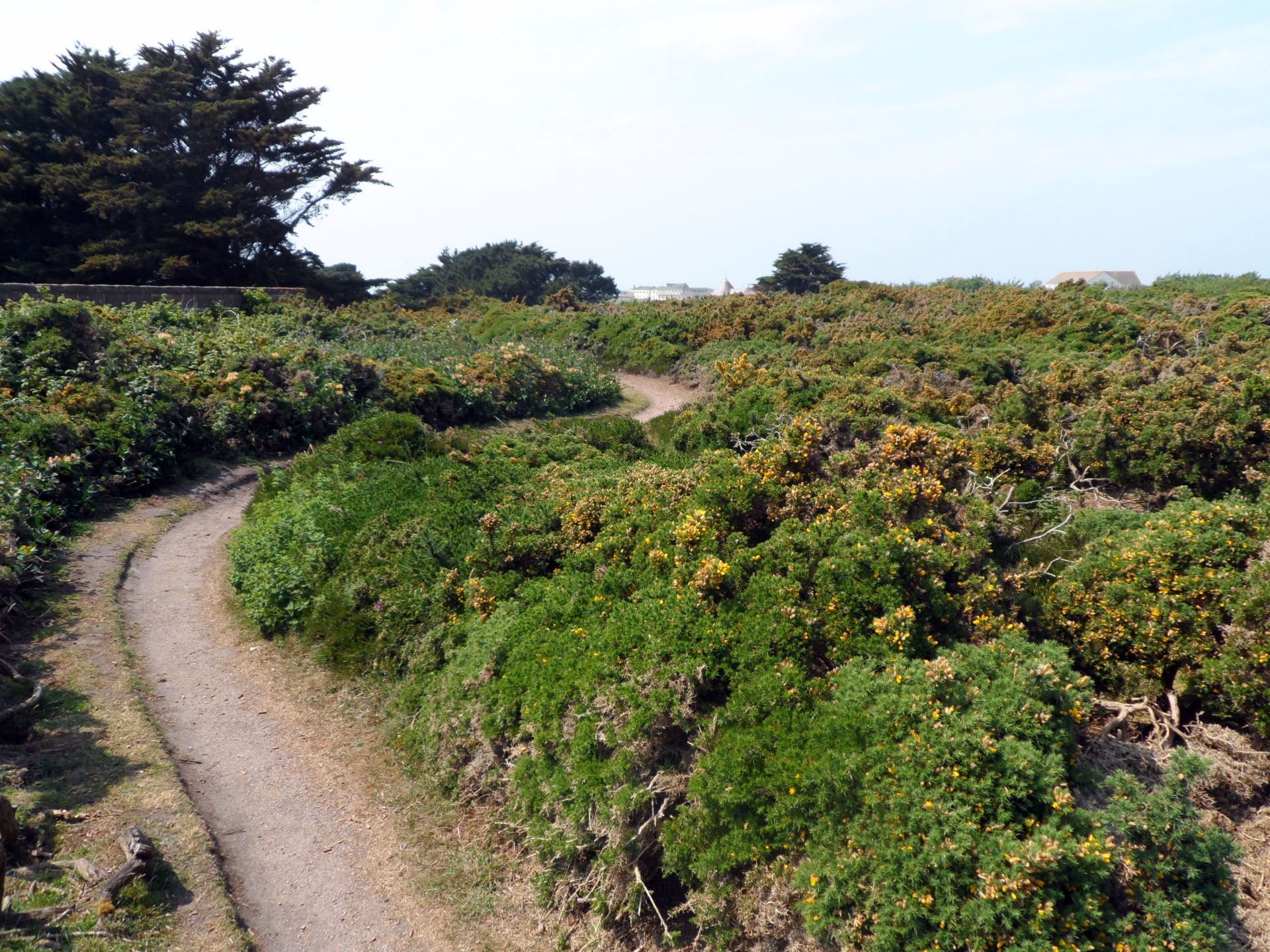
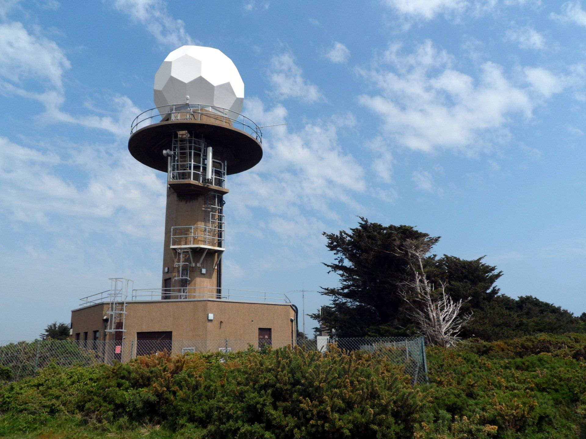
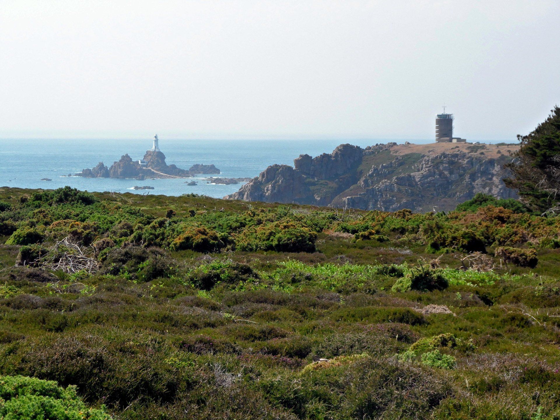
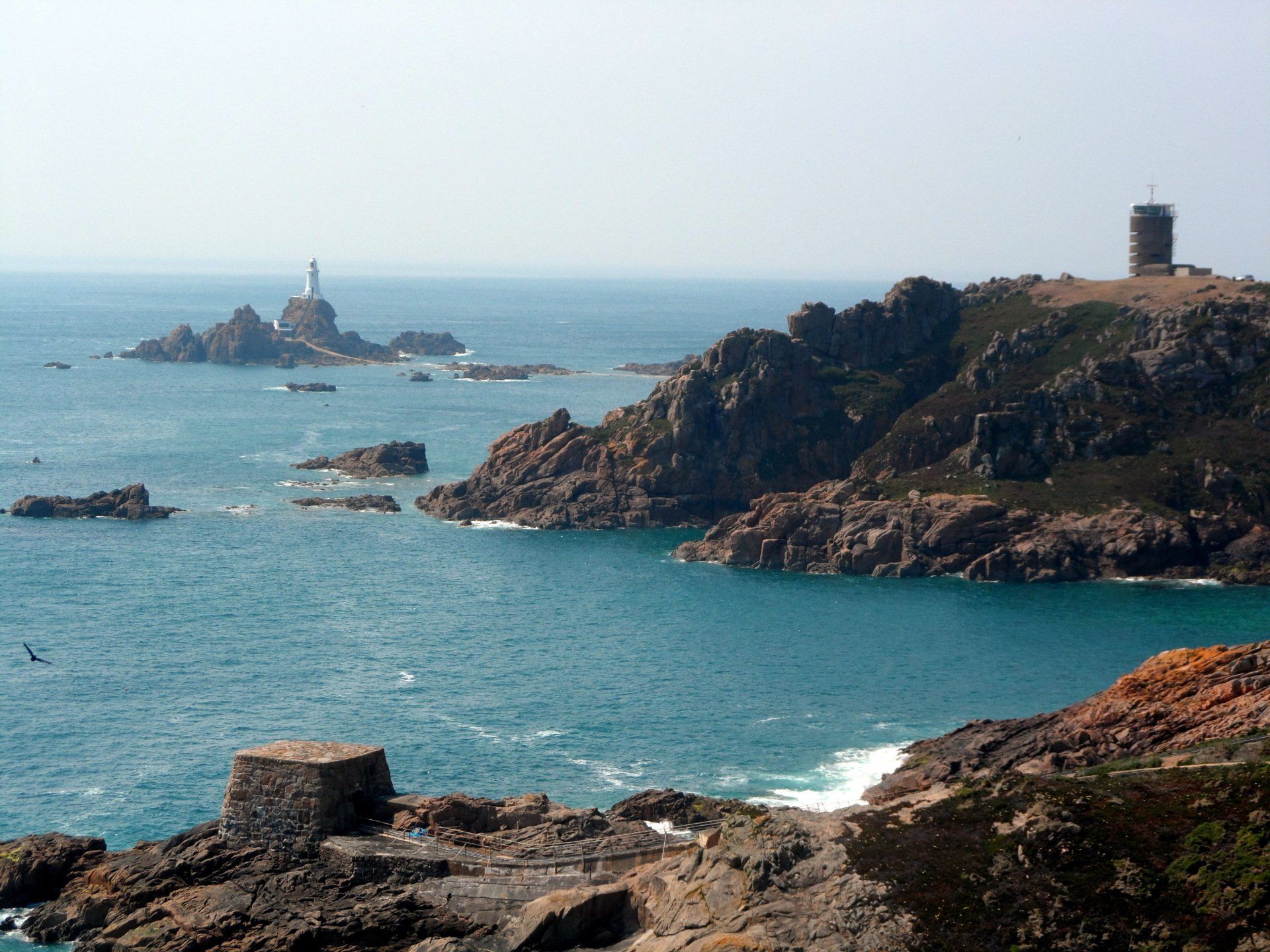
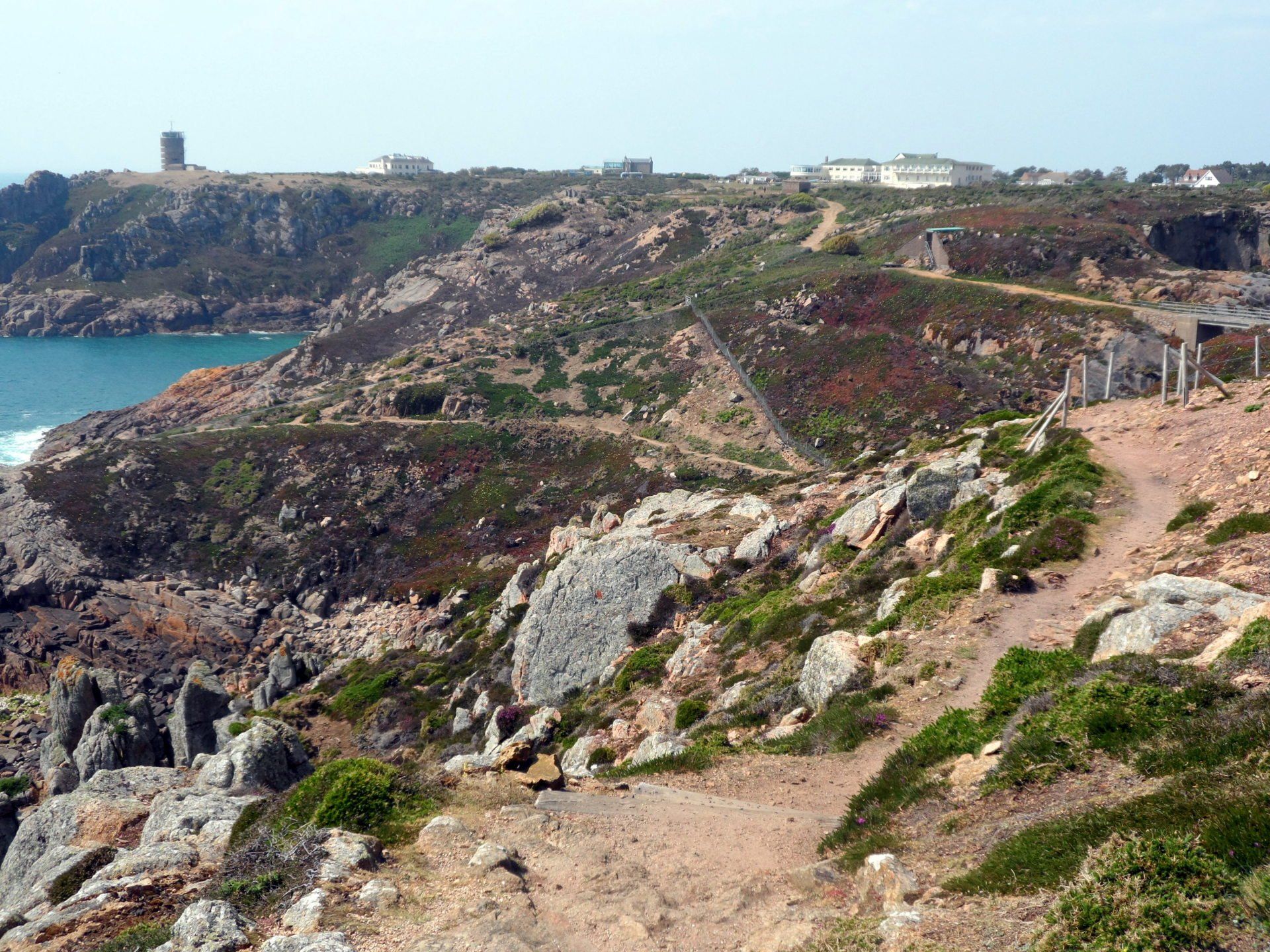
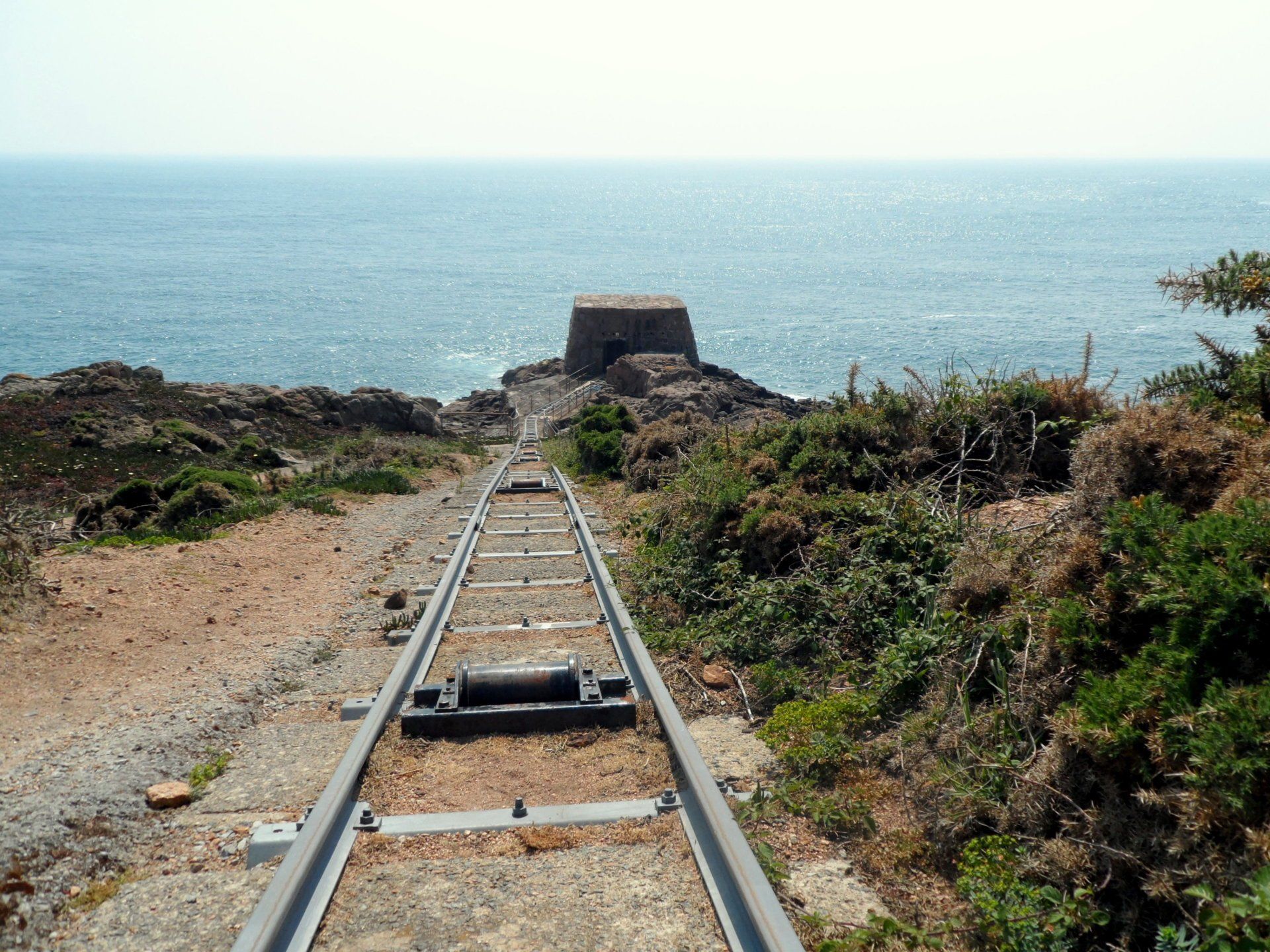
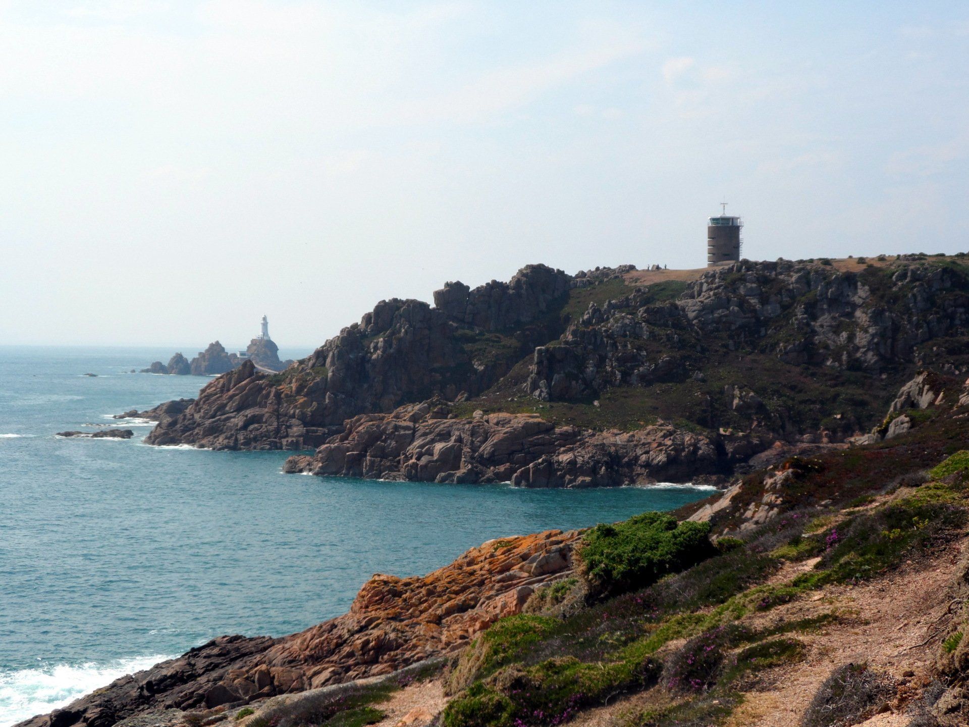
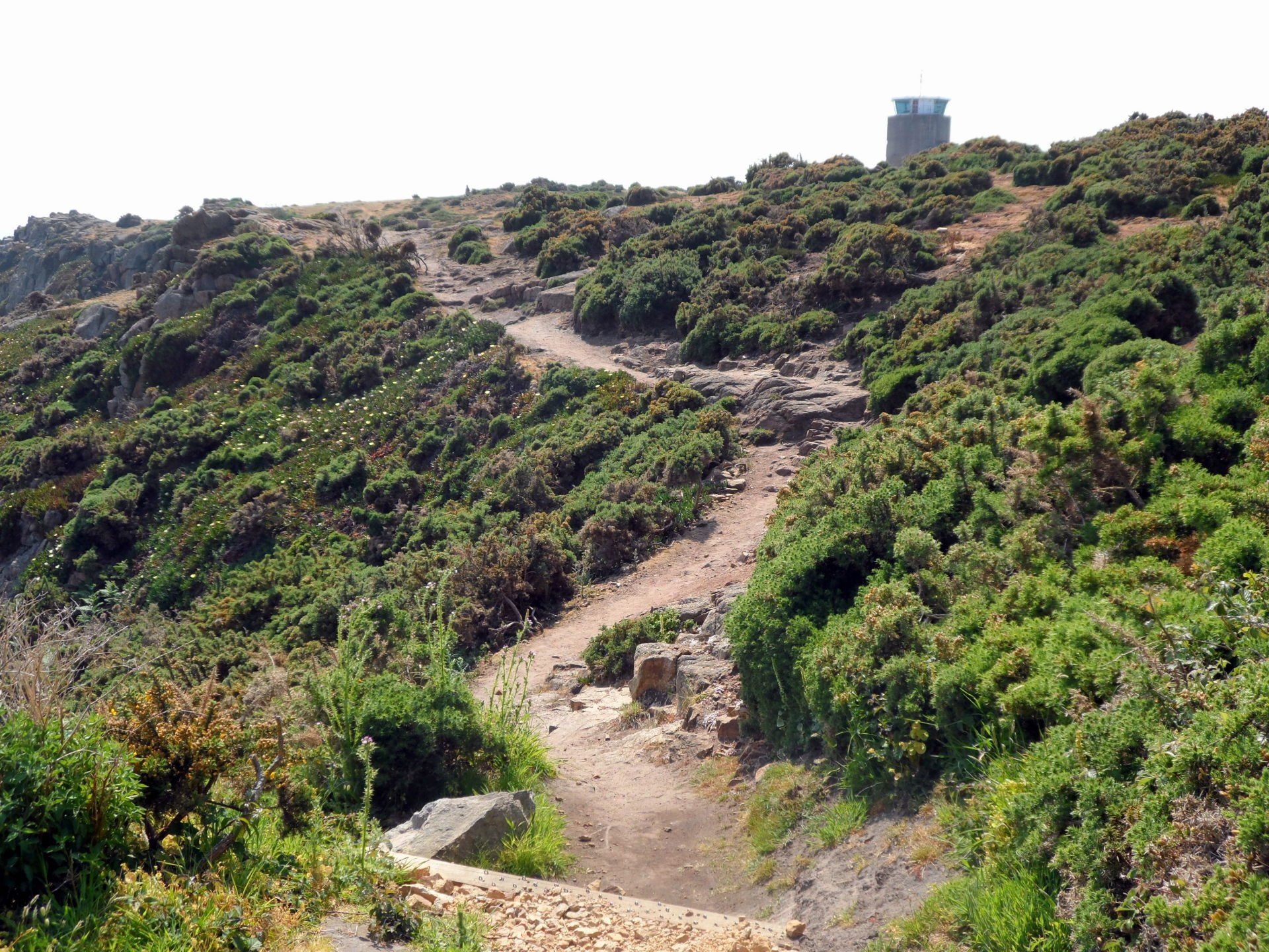
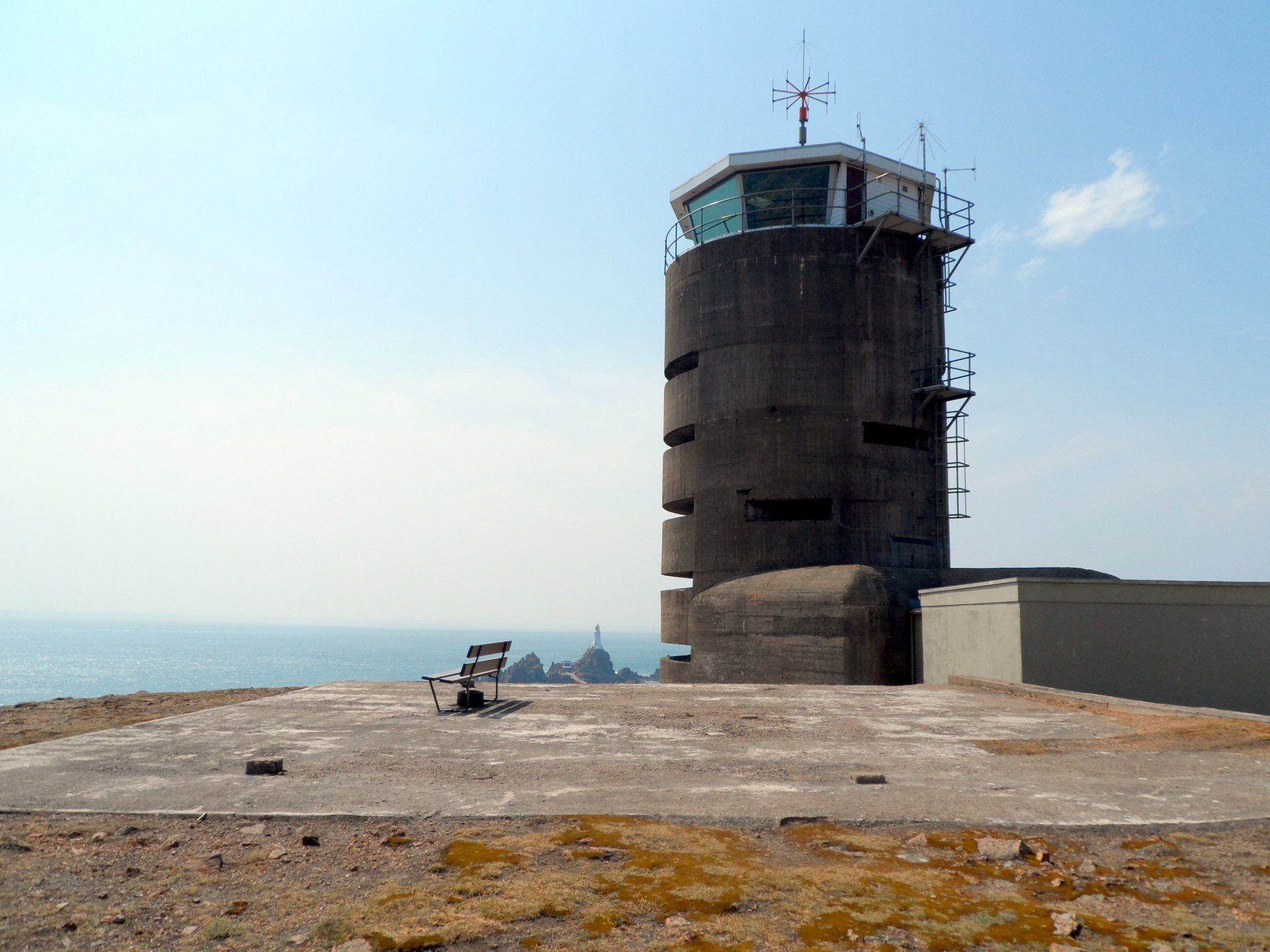
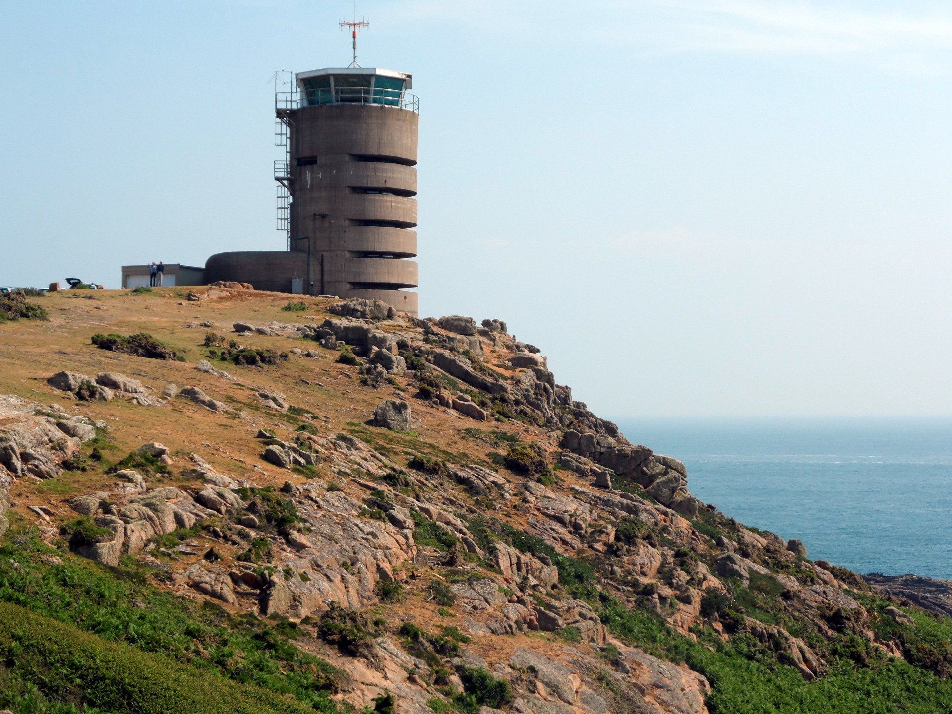
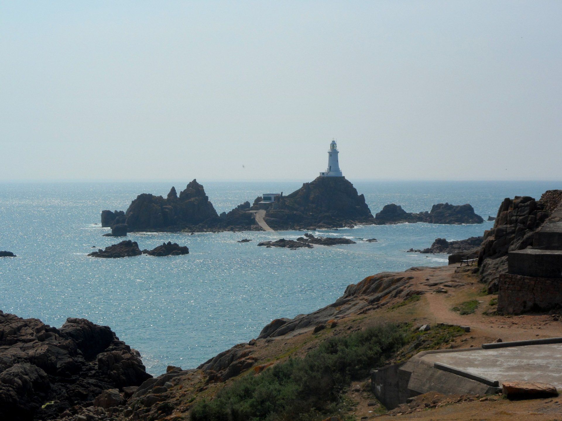
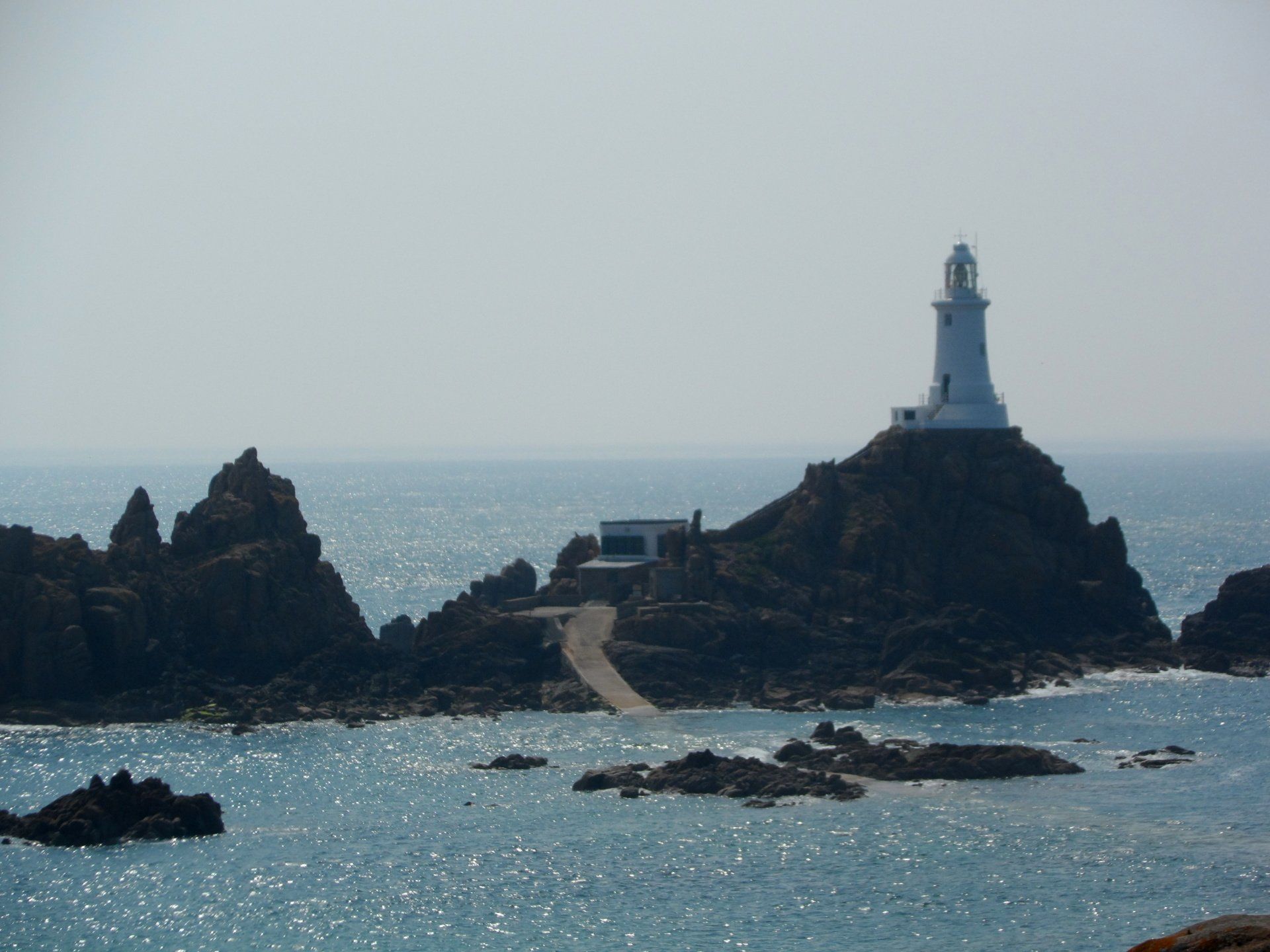
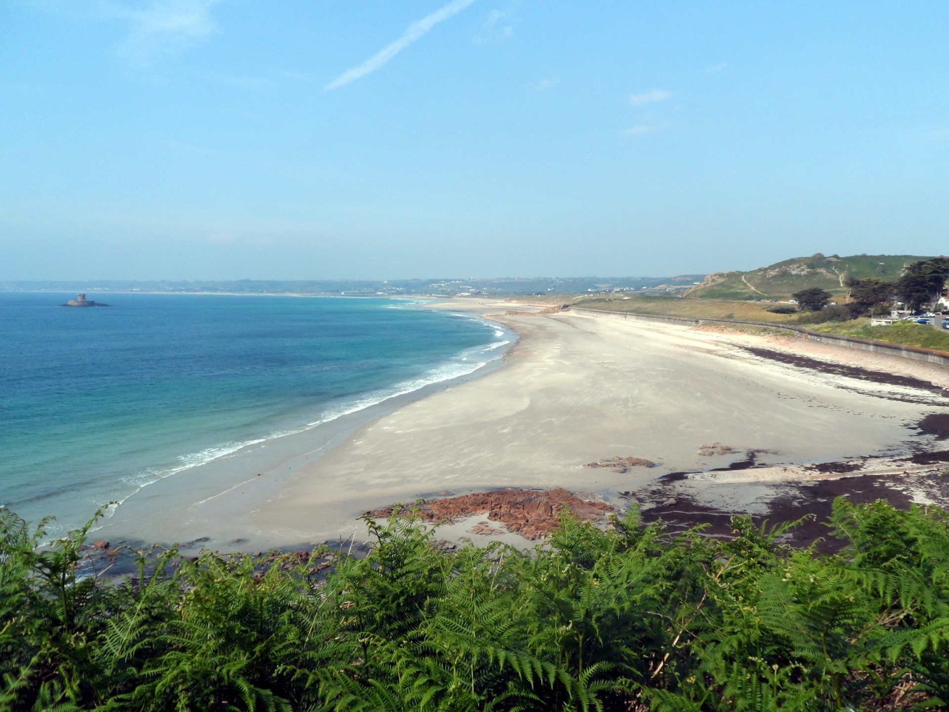
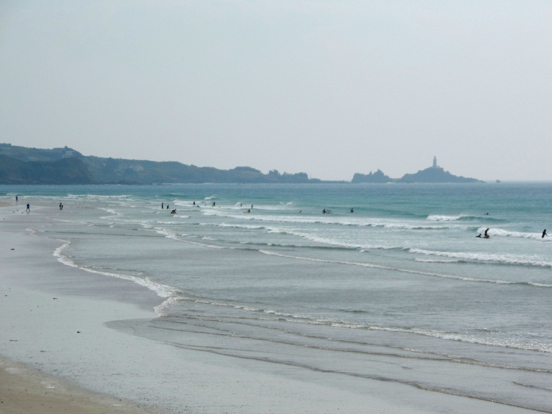
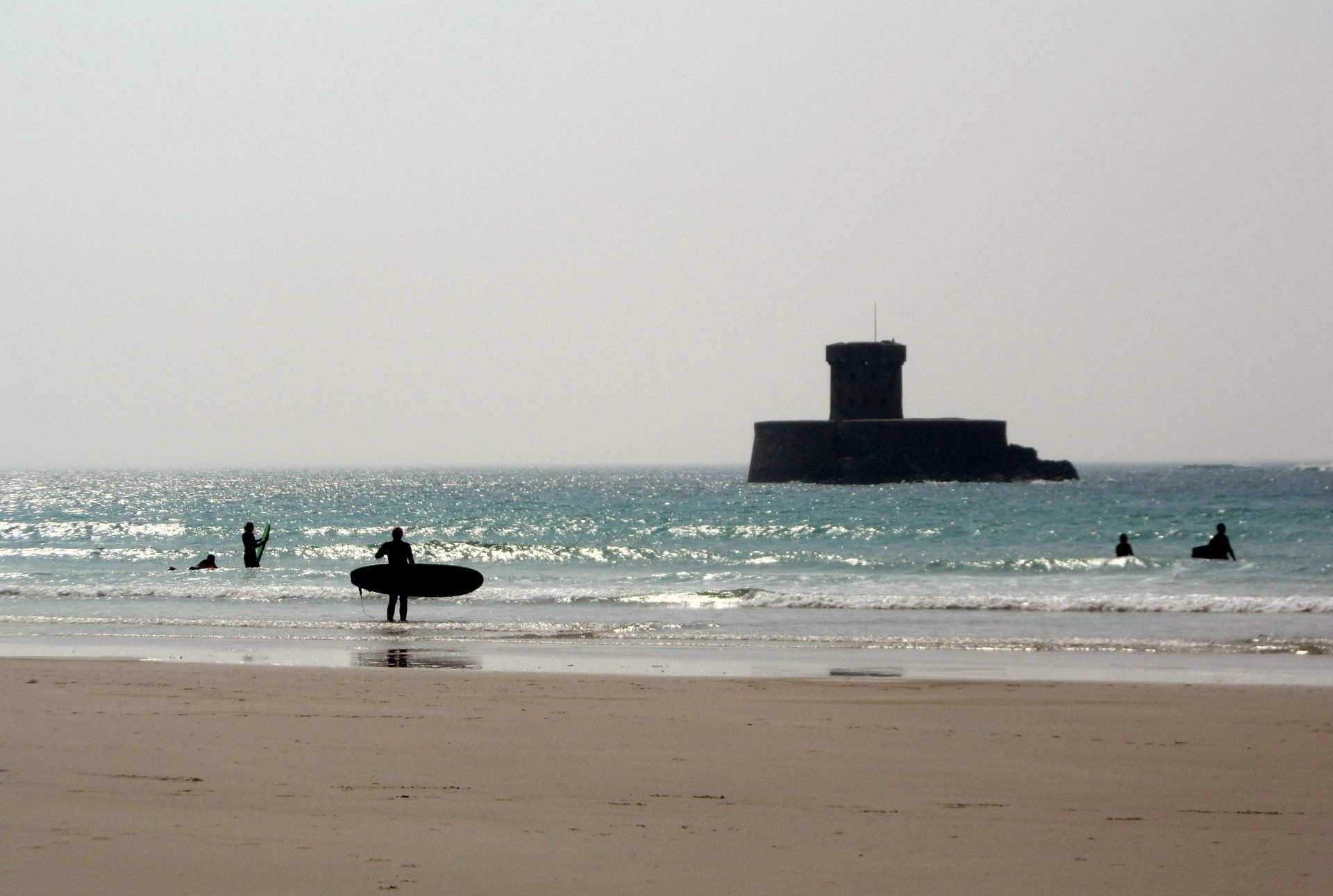
More trails through common area, round a couple of rocky and rugged inlets – including up an incline railway track! Then past a couple of striking structures, one a golf-ball shaped radar tower, one an old WWII observation tower that has been converted into holiday accommodation…now that’s different. I reach Corbiere, the site of the iconic lighthouse on Jersey’s South West corner, its claim to fame being the first lighthouse built of reinforced concrete in the British Isles (in 1873). I stop for an ice-cream, then round the road, effectively turning the corner of the Island to start my trek up the West coast, the bulk of which consists of St Ouen’s Bay, stretching for roughly 4 miles in length.
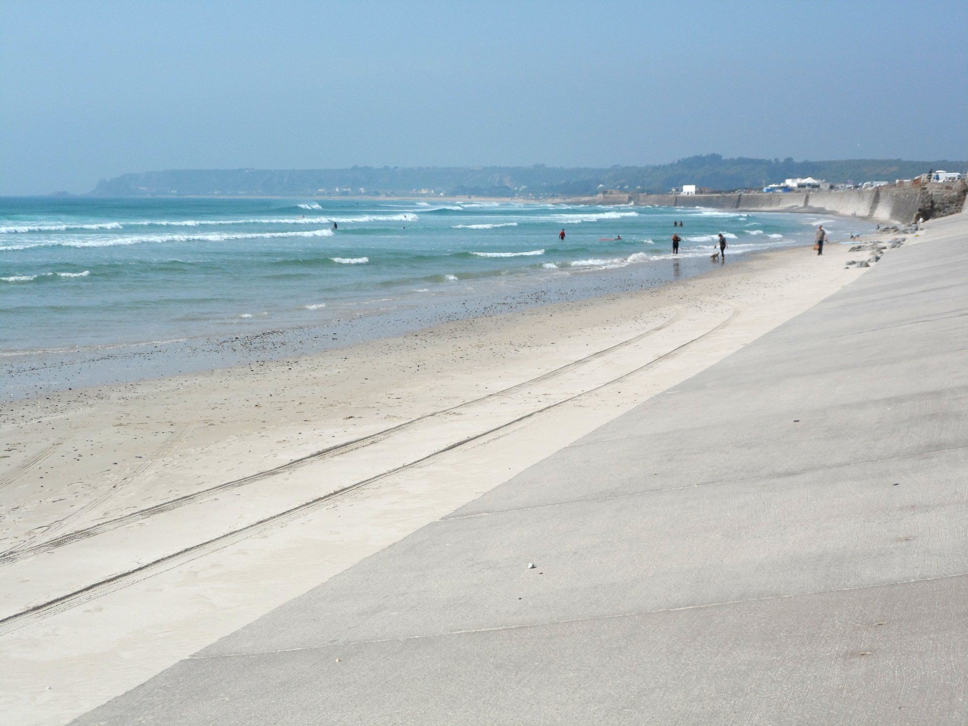
This is another fantastic beach but this one faces the Atlantic Ocean so receives a large swell, as such is home to the ‘surfer dudes’. The route up is dotted now and again with cafes or watering holes, Martello towers, plus car parks with camper vans and the like, lots of people milling around and chilling out, plus of course the surfers at sea. The weather is perfect, indeed quite warm at over 20C (and there is me carrying my kit ready for rain) .
I stop for a bit and have a break. My finish point is at the end of the beach at L’Etacq, which I can see in the distance. I reckon it is a mile, maybe 2 to there and I have an hour until I need to catch my bus, so plenty of time. Er….wrong! I continue walking but it seems like the oasis in the desert, it never seems to get any closer, maybe I have miss-judged things? I quicken my pace, even jog along a bit. I can see the road and think if I can get there then I can always flag the bus down even if I don’t reach the stop. I relax when I reach the road, to suddenly panic when the bus goes past me from behind and disappears around the corner, to my mind going the wrong way. I’m doomed I think, if I miss this I will miss my ride home. I run after the bus and thankfully catch up with it at the bus stop, where it is waiting for a few minutes as it is ahead of schedule. Phew, that was too close. I collapse in a sweaty mess on a seat and try and recover!
Whilst not the ideal way to end a good walk, overall, I have enjoyed my day. The terrain has been varied, the weather kind. At 19 miles it has been a fair distance and I am feeling suitably tired, but satisfied. Now for the trek home!
Stats: 19.4 miles, 6hr 30mins moving, 7hr 41mins total, Average moving 3 mph, 1394 ft Ascent