CI Way- March
Guernsey (walk 3)
Guernsey (walk 3)
SATURDAY 31ST MARCH 2018:
It has been a busy month and yet again I am leaving my March walk to the last day, so relying on the weather gods. Well, it’s a bit mixed, cold at about 8-9 degrees, winds force 4 to 5 and rain showers forecast, definitely woolly hat territory. Wrapped up warm, I pick up where I left off in February at Grandes Rocques with the aim today of walking the West coast…with a bonus planned!
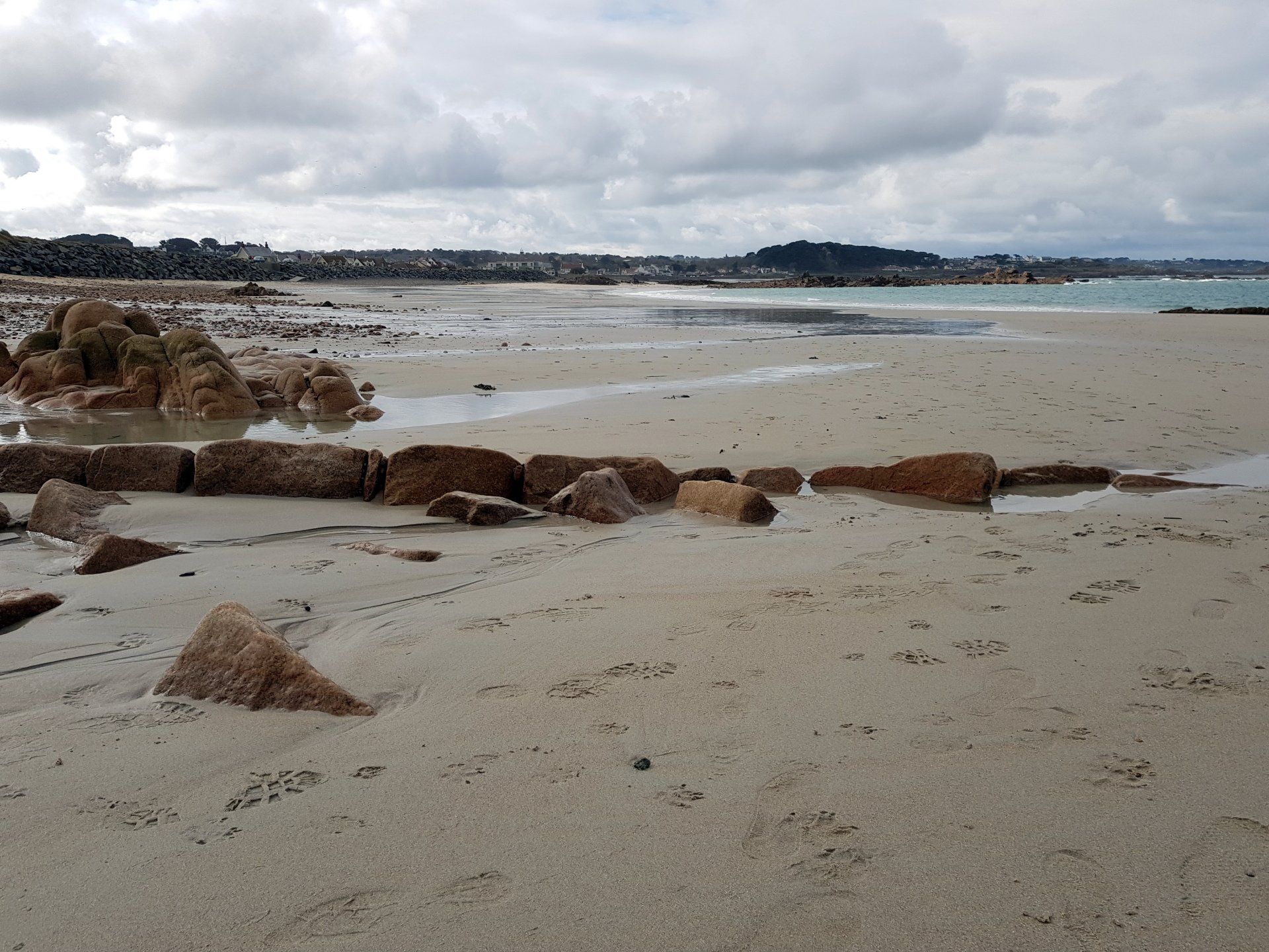
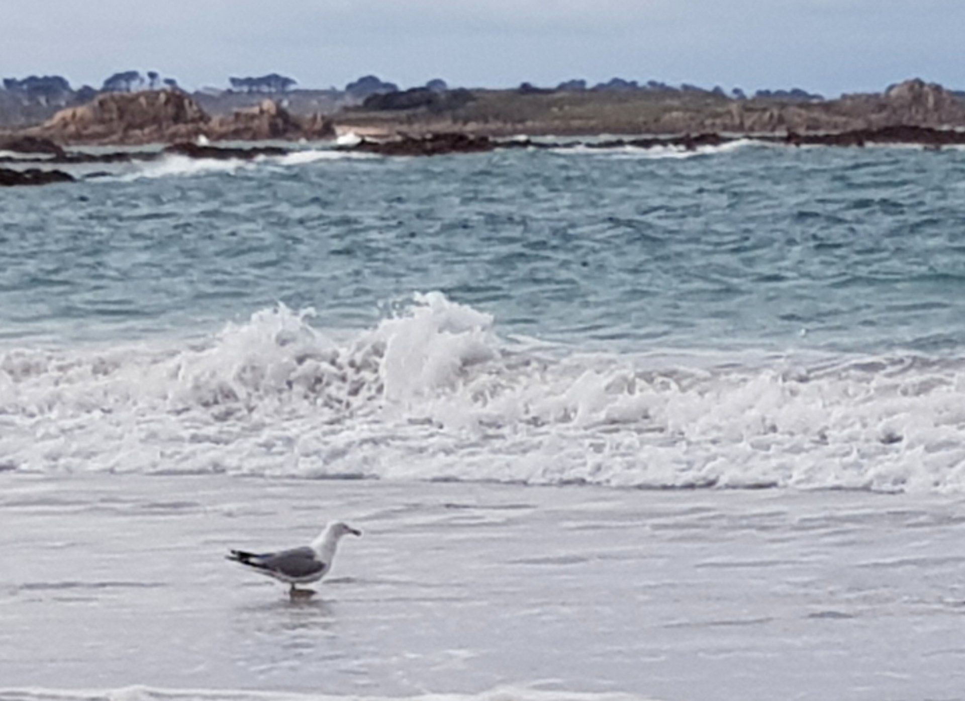
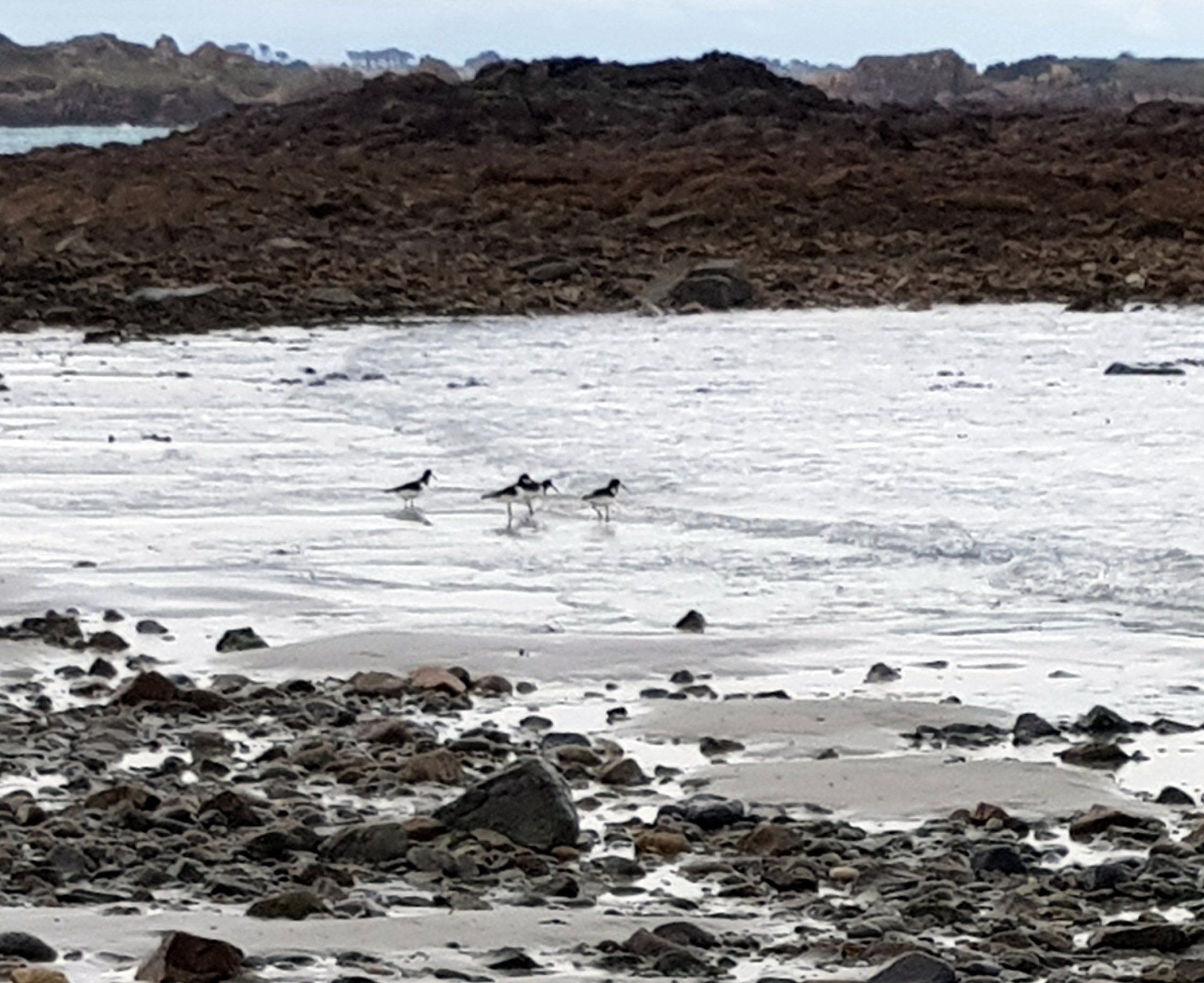
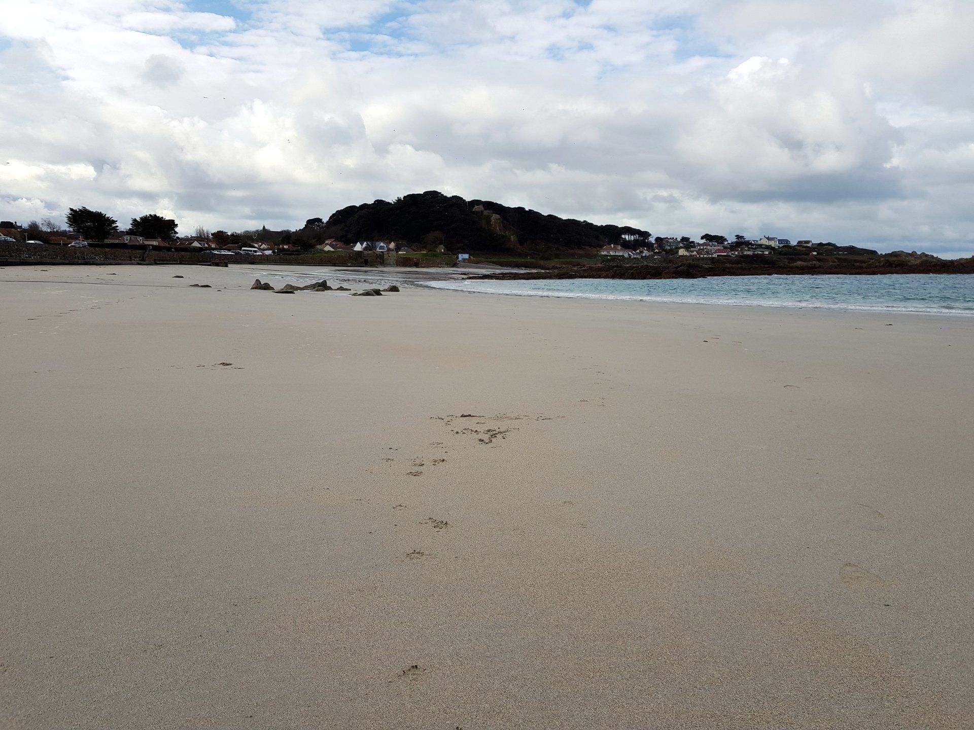
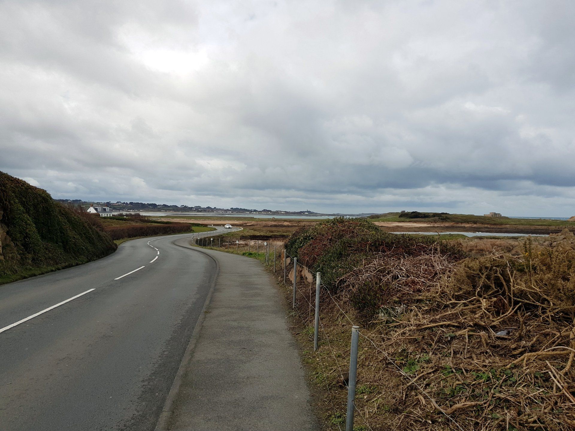
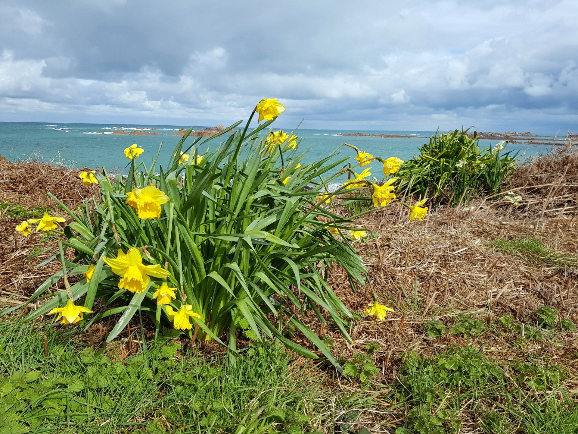
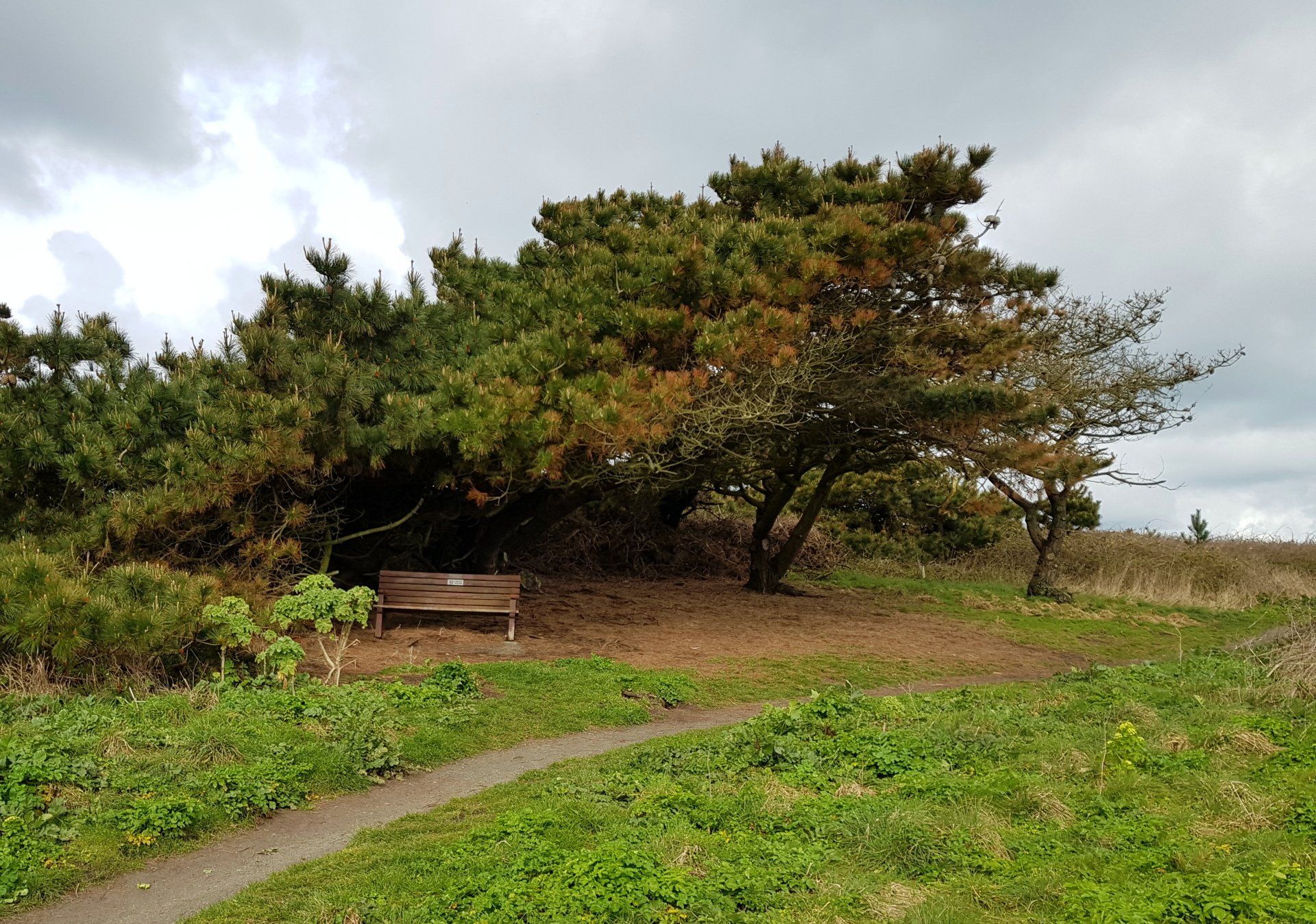
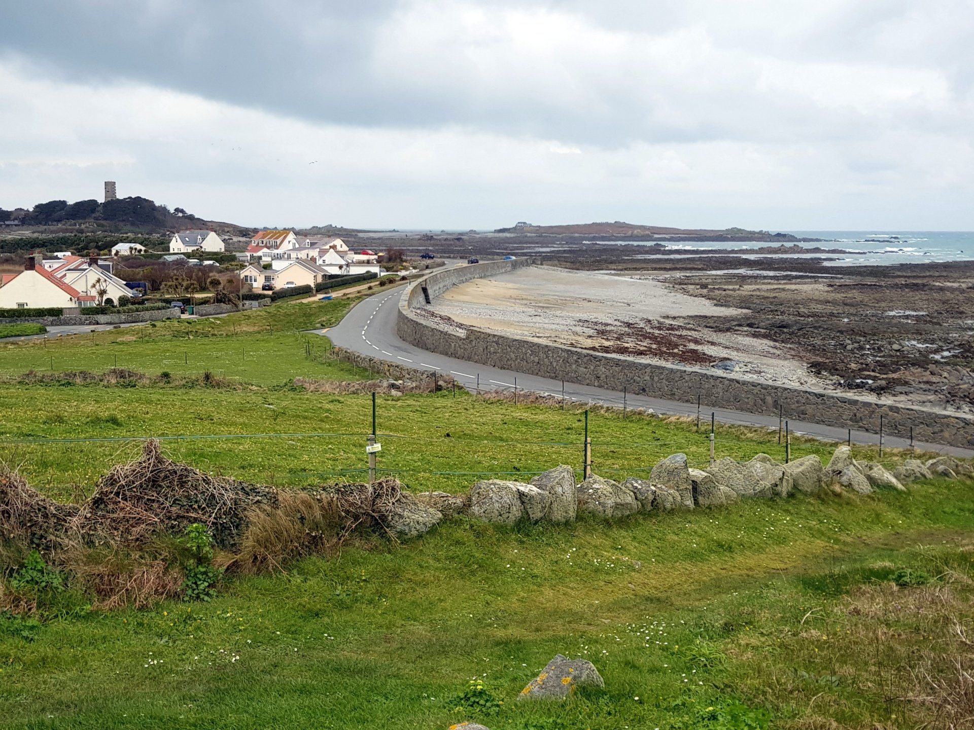
In theory, this is not the most inspiring walk as it broadly follows the road, however, with the sea to the other side it can never be boring. Yet again, I am walking with the tide down, which takes away some of the sea views, however, it does allow a bit of beach walking and I do have an ulterior motive for picking this time.I set off just after 10:00 and go down on to the beach and walk along near to the sea lapping up the sand, the gulls and oystercatchers dipping in and out the surf. The sun peaks out and it is like turning on a light, everything suddenly glows and the colours pop. It’s good to be back on the trail.
I reach the end of Cobo and up the slipway then follow along the road side around to Vazon, taking in the Fort Hommet headland. A sign catches my eye and I notice some vague ruins, apparently an old farm community from the 14th Century. Moving on to the end of the peninsula I have a good mooch around the substantial fort itself, which provides good views up and down the coastline.
From there I move on to Vazon, and pop into a café for a hot sausage roll & drink. Nearby the road is shut for this afternoons “sprint” where karts, bikes and cars will soon be revving their engines for the quarter mile time trial. The comparison is not lost on me – I plod on at 3mph for hours, they get up to 100mph for a few seconds – different people, different kicks!
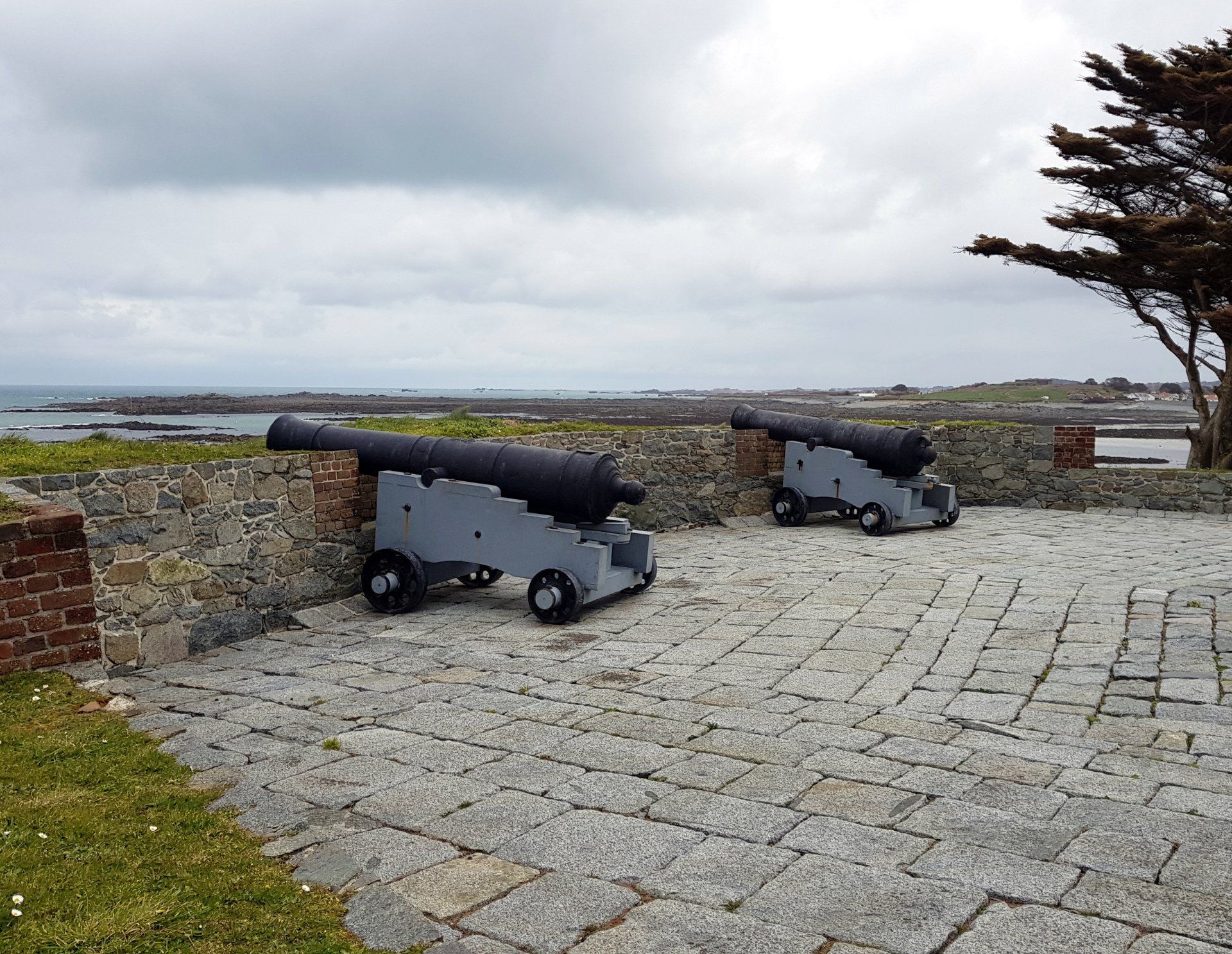
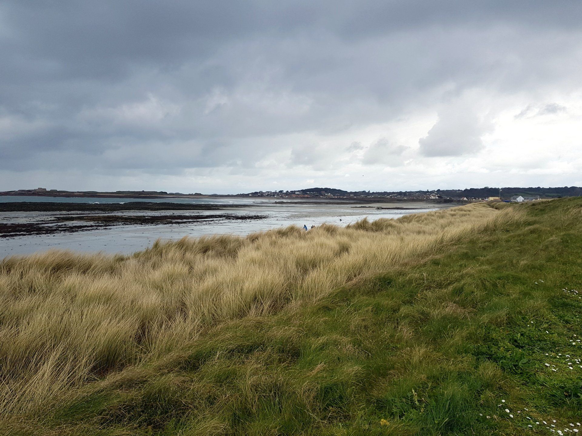
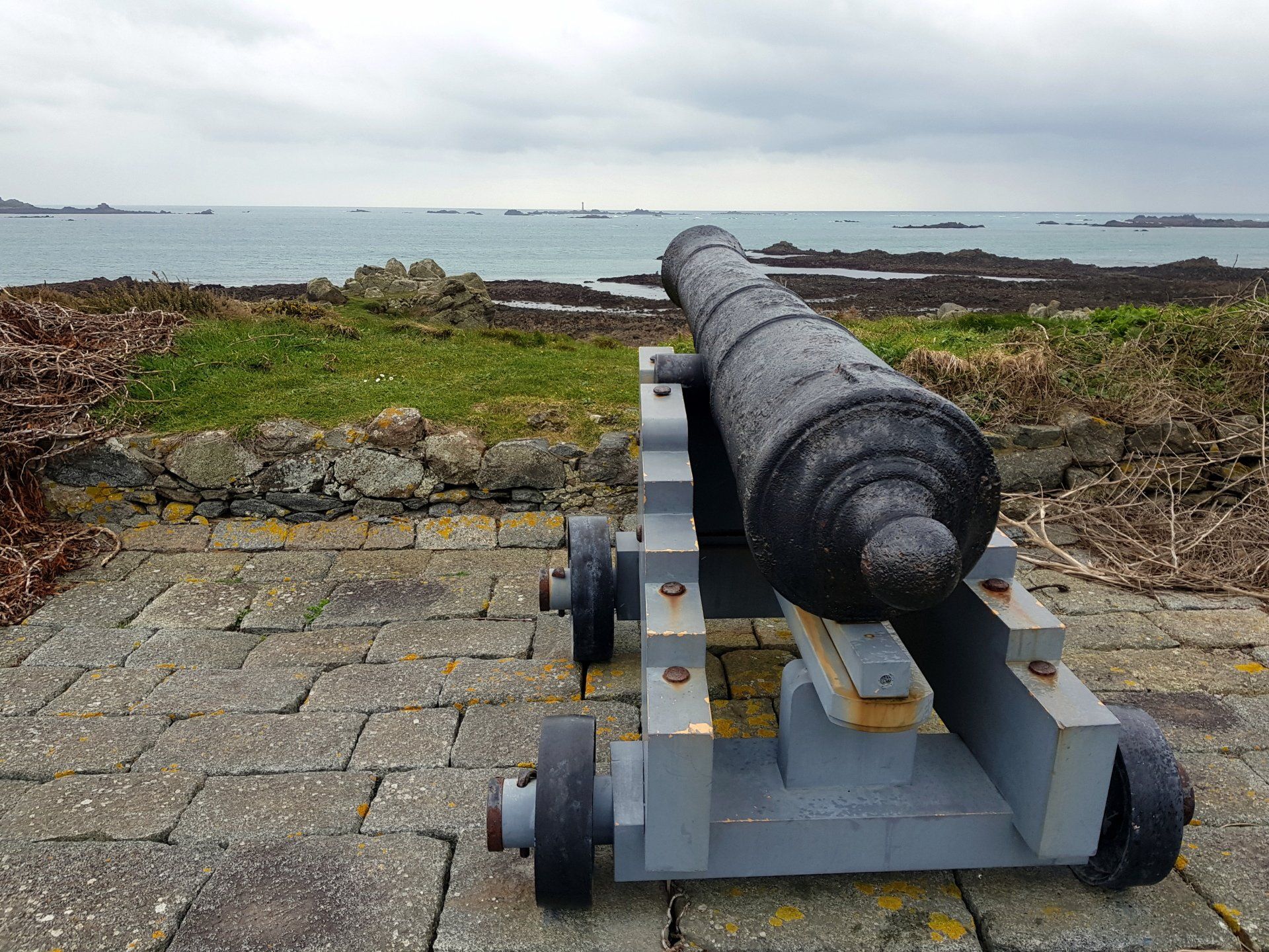
I pass Loophole Tower No.12 then return to the clean sands of the beach. Vazon is the surfers beach but no joy today with little swell, however, the gentle thunder of the water breaking on the beach can still be heard in the background. I leave the beach nearing Richmond and the walk along the roadside for a while. After a while I spy a track across the road with National Trust of Guernsey sign. I have no idea where it leads but go exploring, a muddy track later coming out on “Le Trepied”, a burial tomb dating from 4000BC! Also, apparently a notorious meeting places for Guernsey witches! Nearby there is Mont Chinchon battery with mock cannons defending the coast, yet more of the 18th Century defences against the French. I must have driven past this numerous times but have never seen this ‘secret’ area.
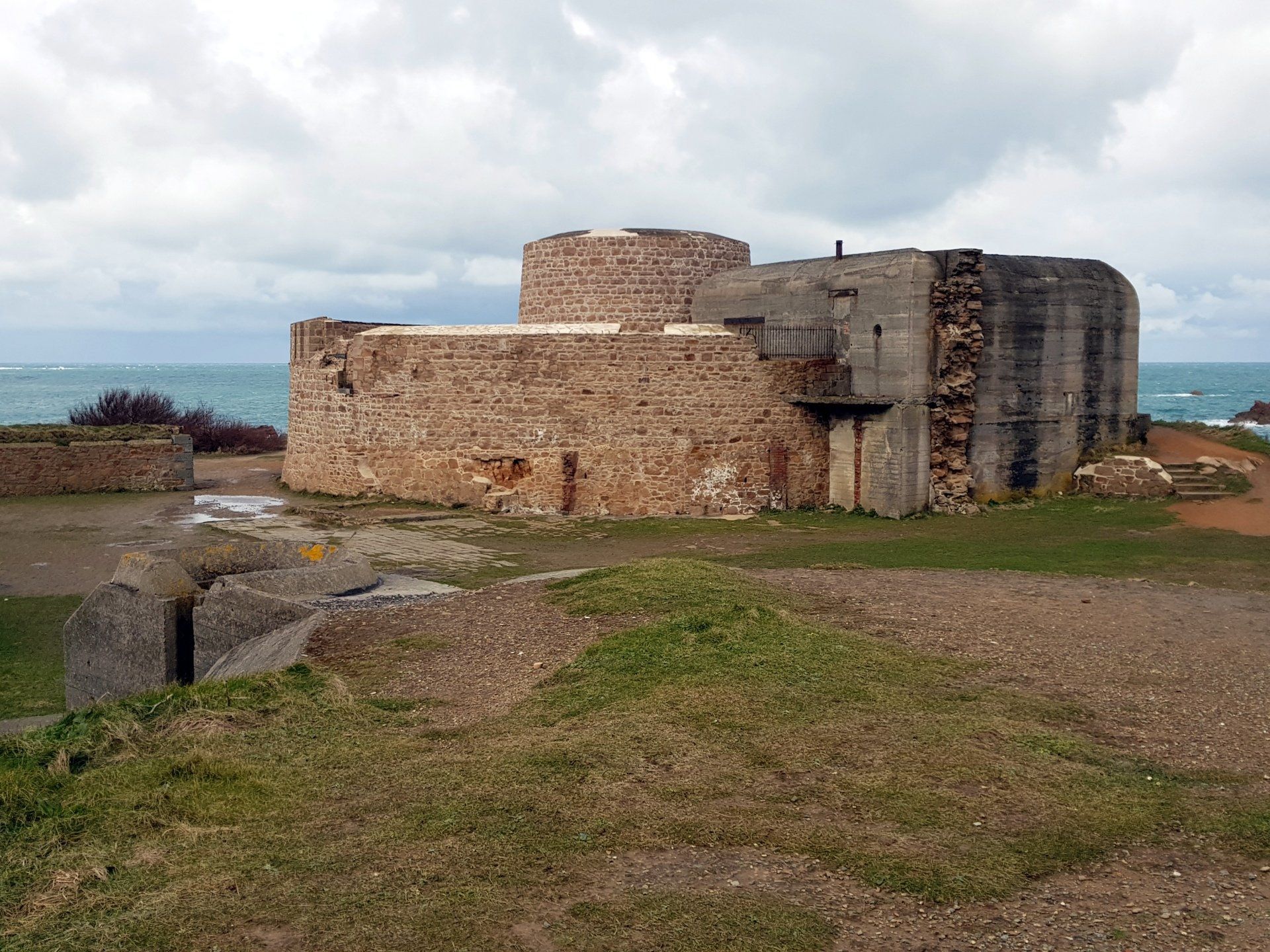
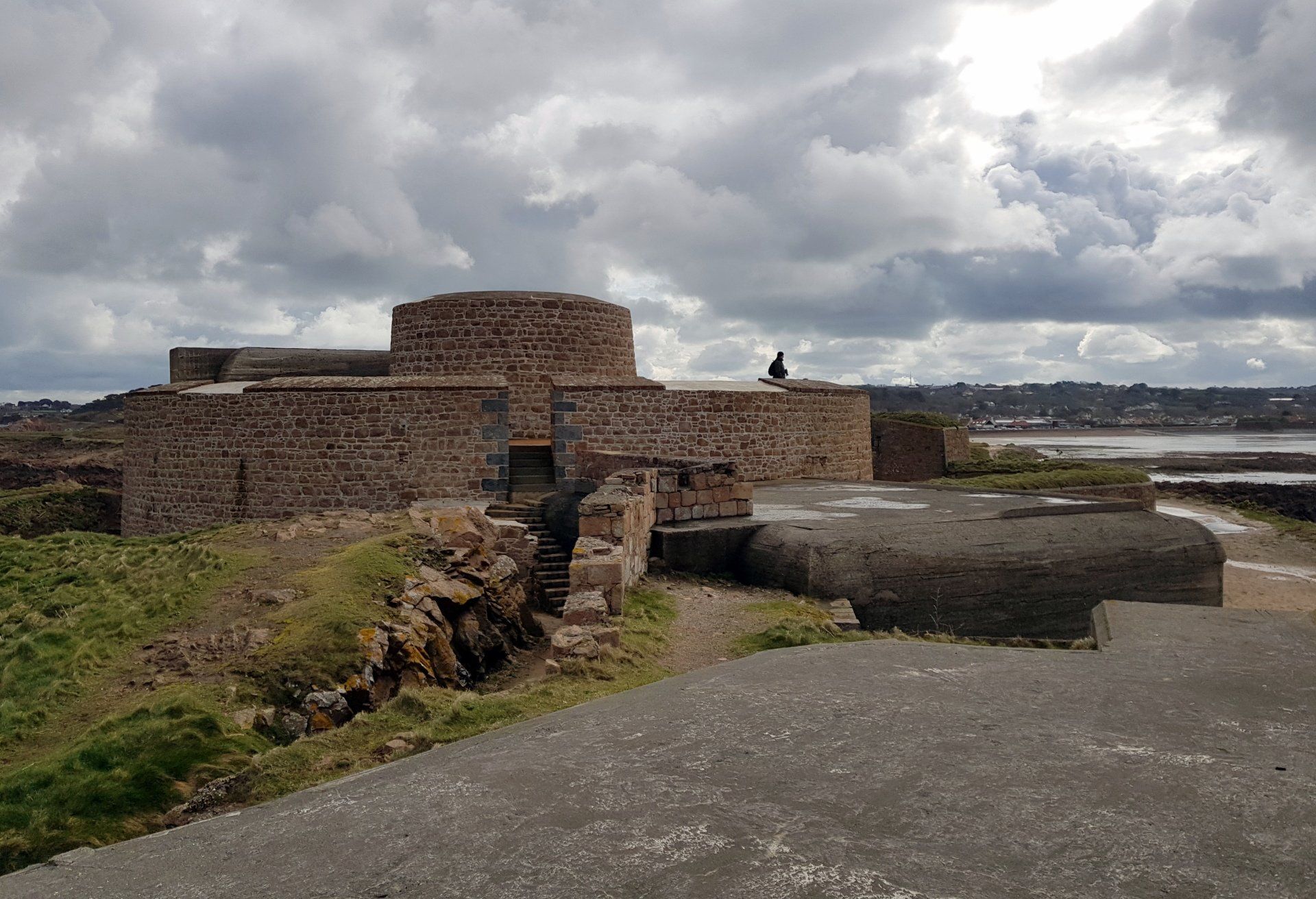
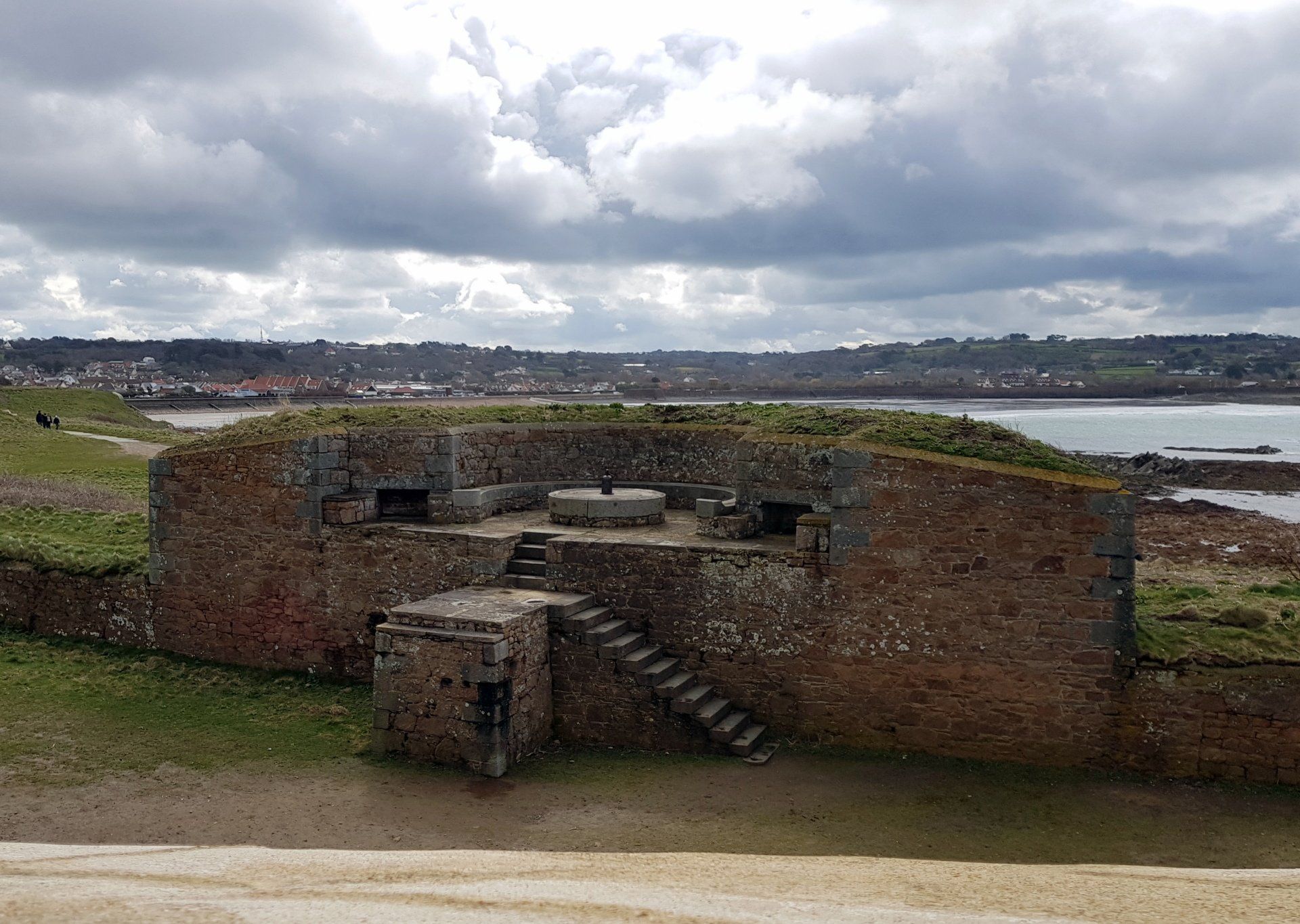
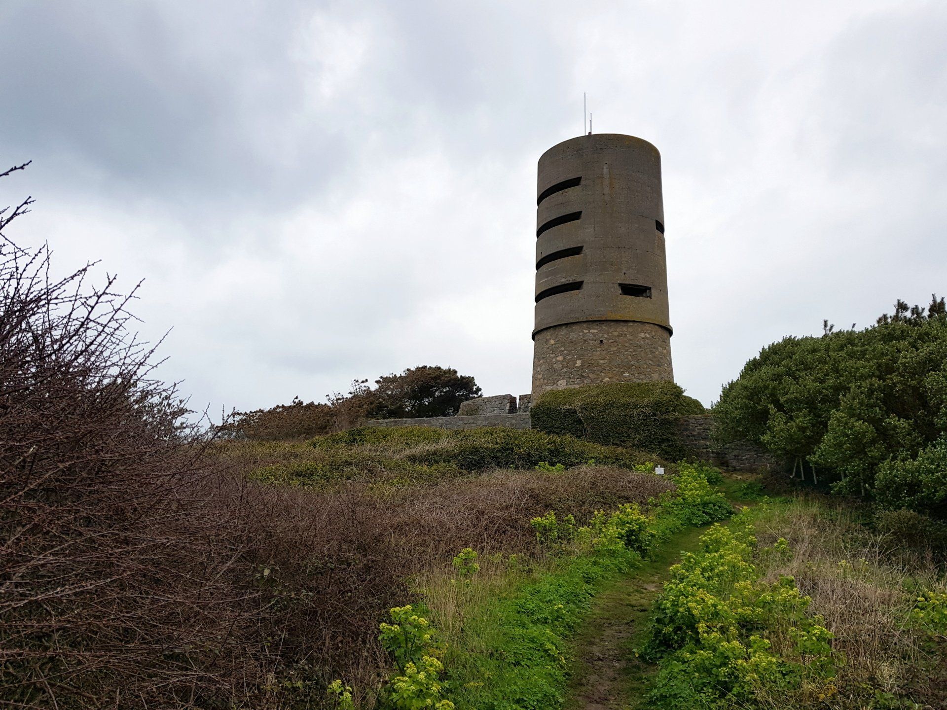
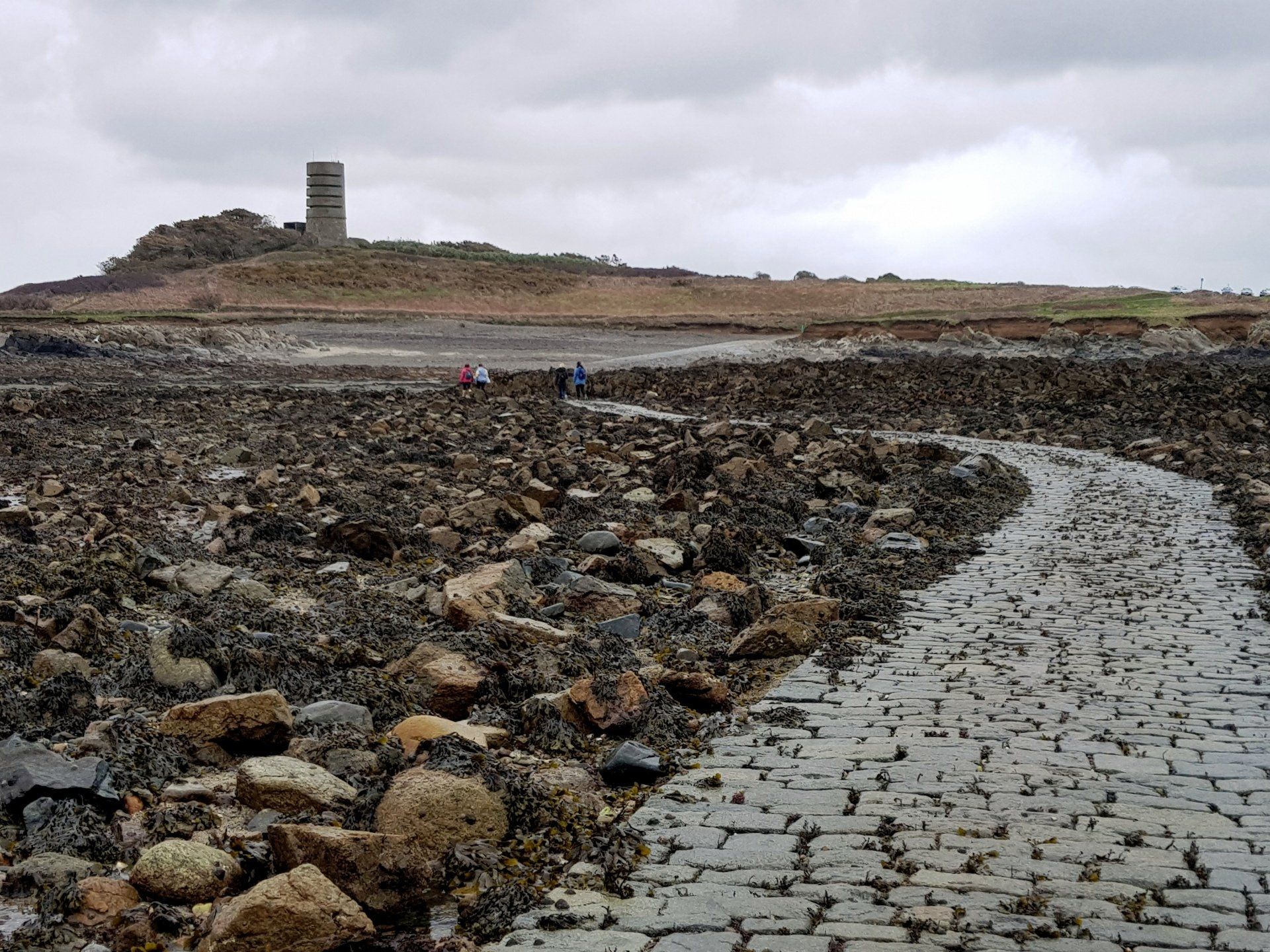
A more modern feature is my next visit, this an imposing second world war structure built as a marine observation tower. This is MP2, other similar towers exist on the South coast. I wonder around the perimeter, including following the muddy defensive trenches surrounding the tower. By this time the weather is deteriorating and a fine spitting rain is falling, with the wind whipping this around. I am still feeling toasty though and the rain is not enough to make me wet. A bit damp but then the wind dries me out.
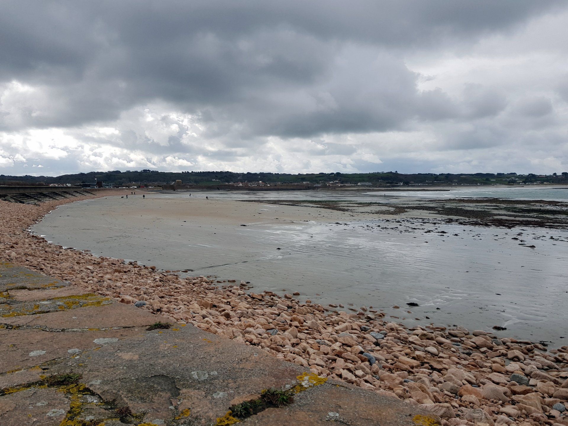
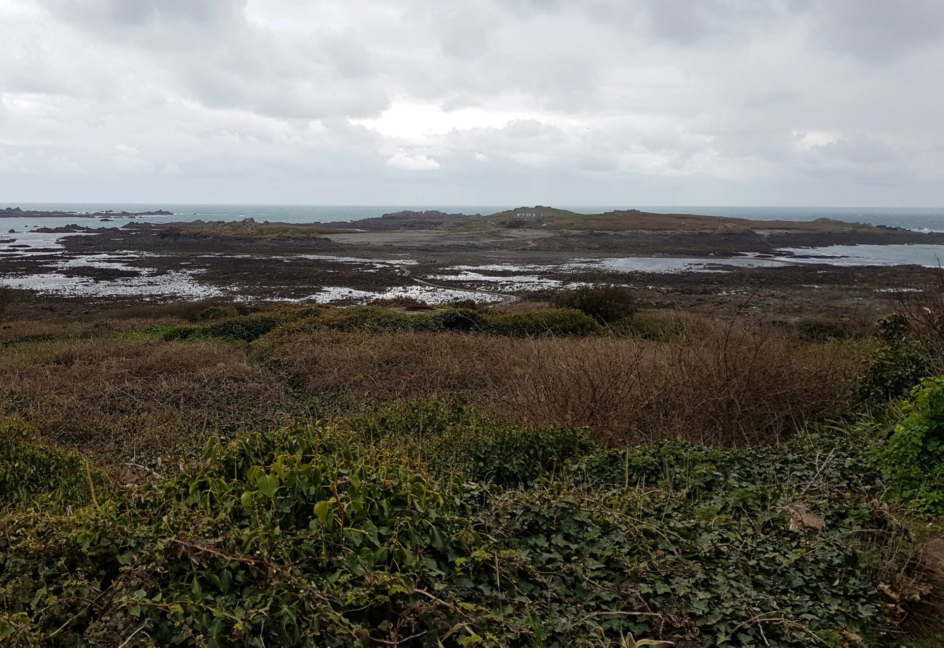
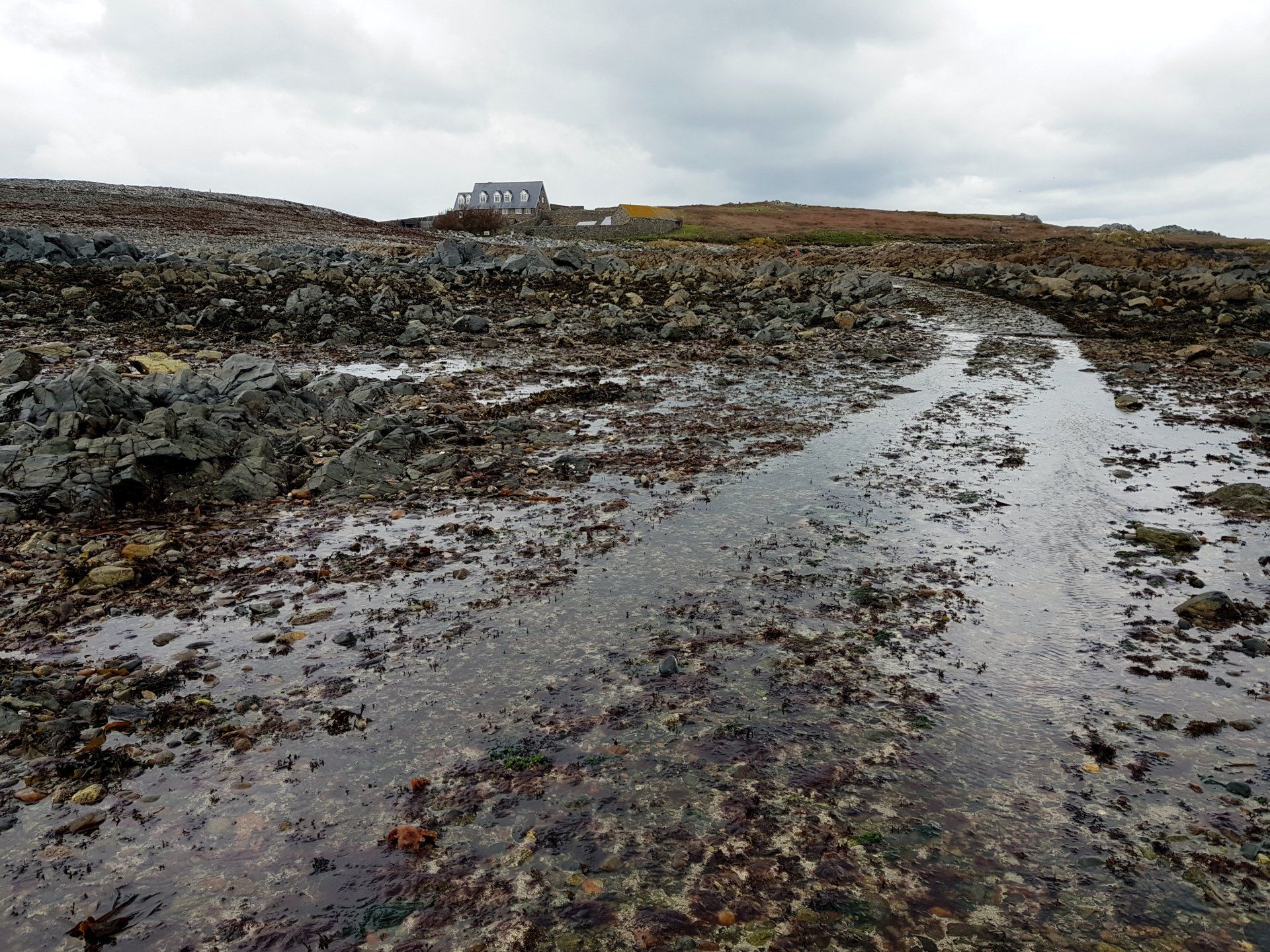
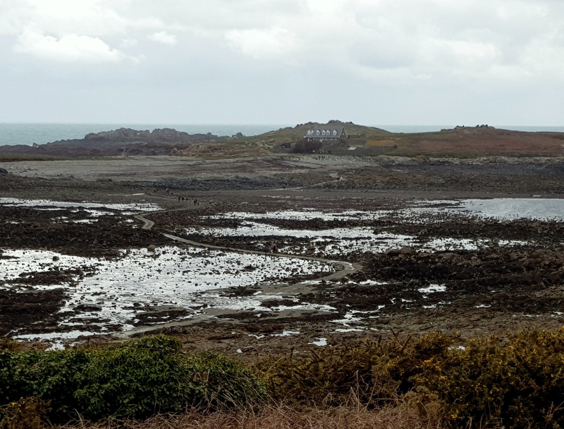
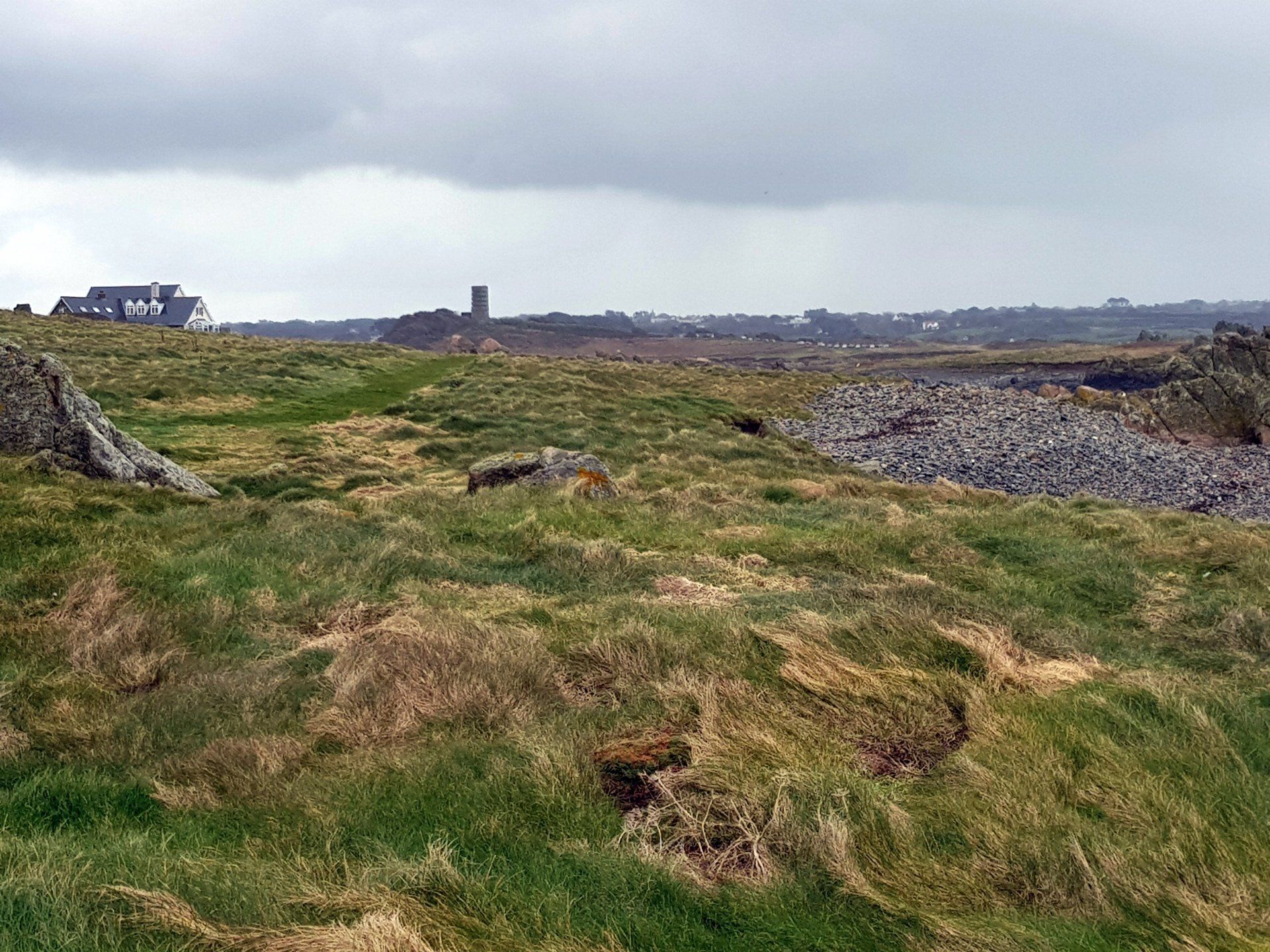
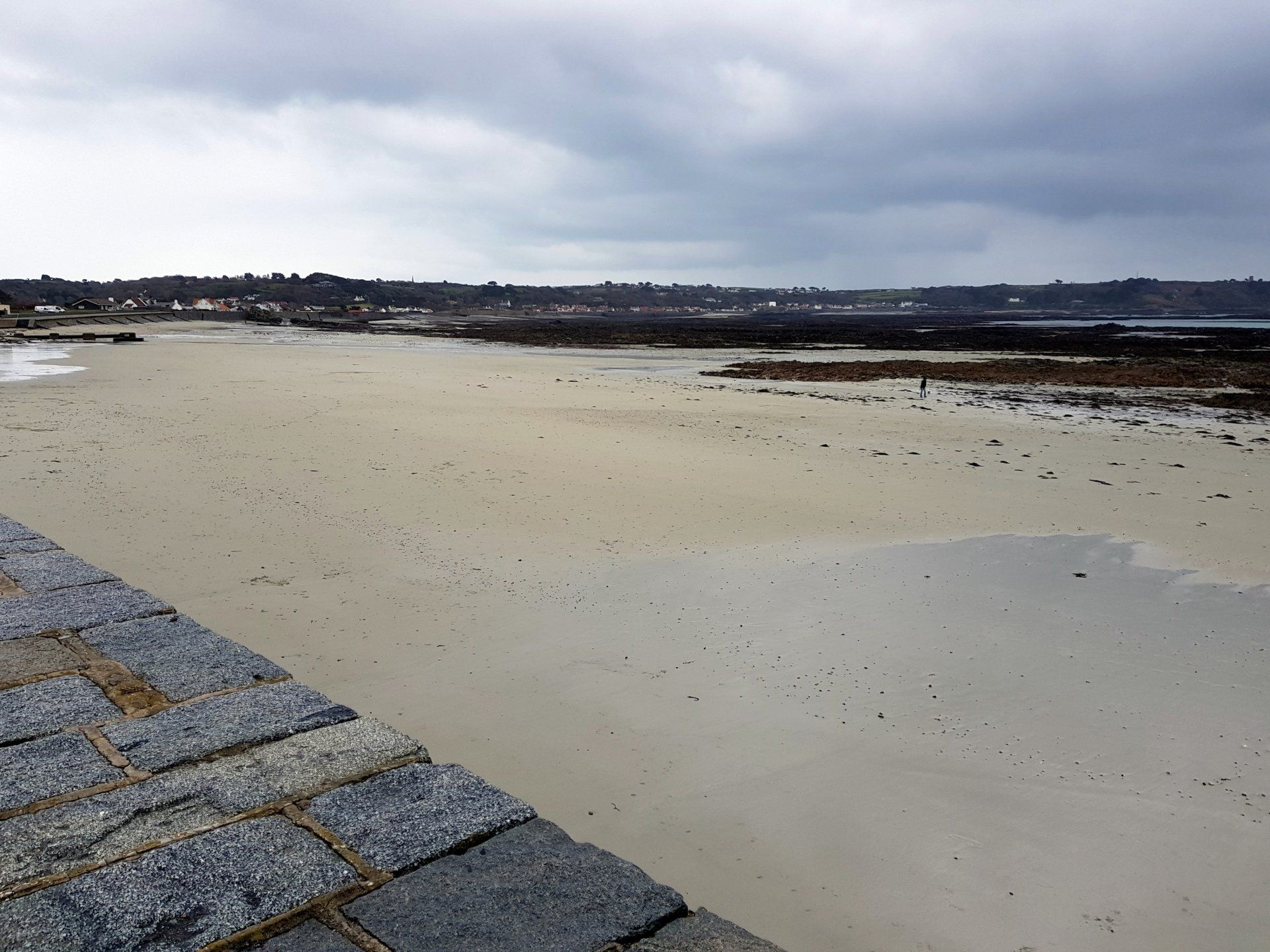
From MP2 I look out to the “bonus” section of may walk, the reason I have timed this trek for low tide. Lihou Island is a tiny dot on the map on Guernsey’s West coast, it is an uninhabited nature reserve, only reachable by causeway for a few hours when the tide is out. I haven’t been to Lihou for years (decades) so something new to explore. In my mind, Lihou has always been linked with seaweed! Strange I know, but it does come from facts – seaweed was farmed here in the early 1900's in order to produce iodine, whilst the 1960's (I think) saw the introduction of seaweed eating sheep.
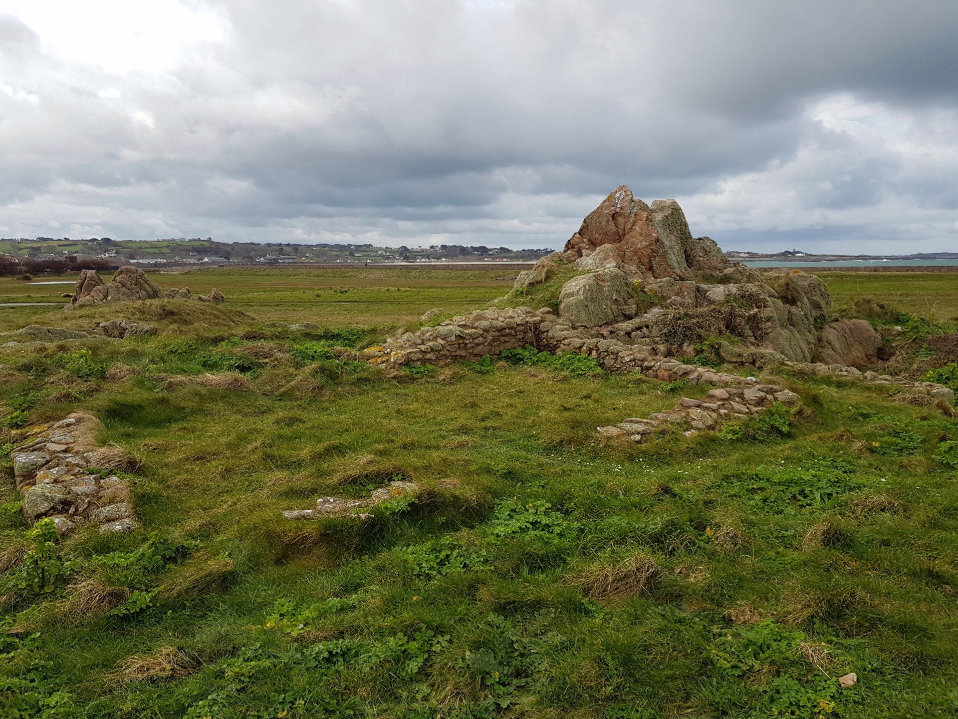
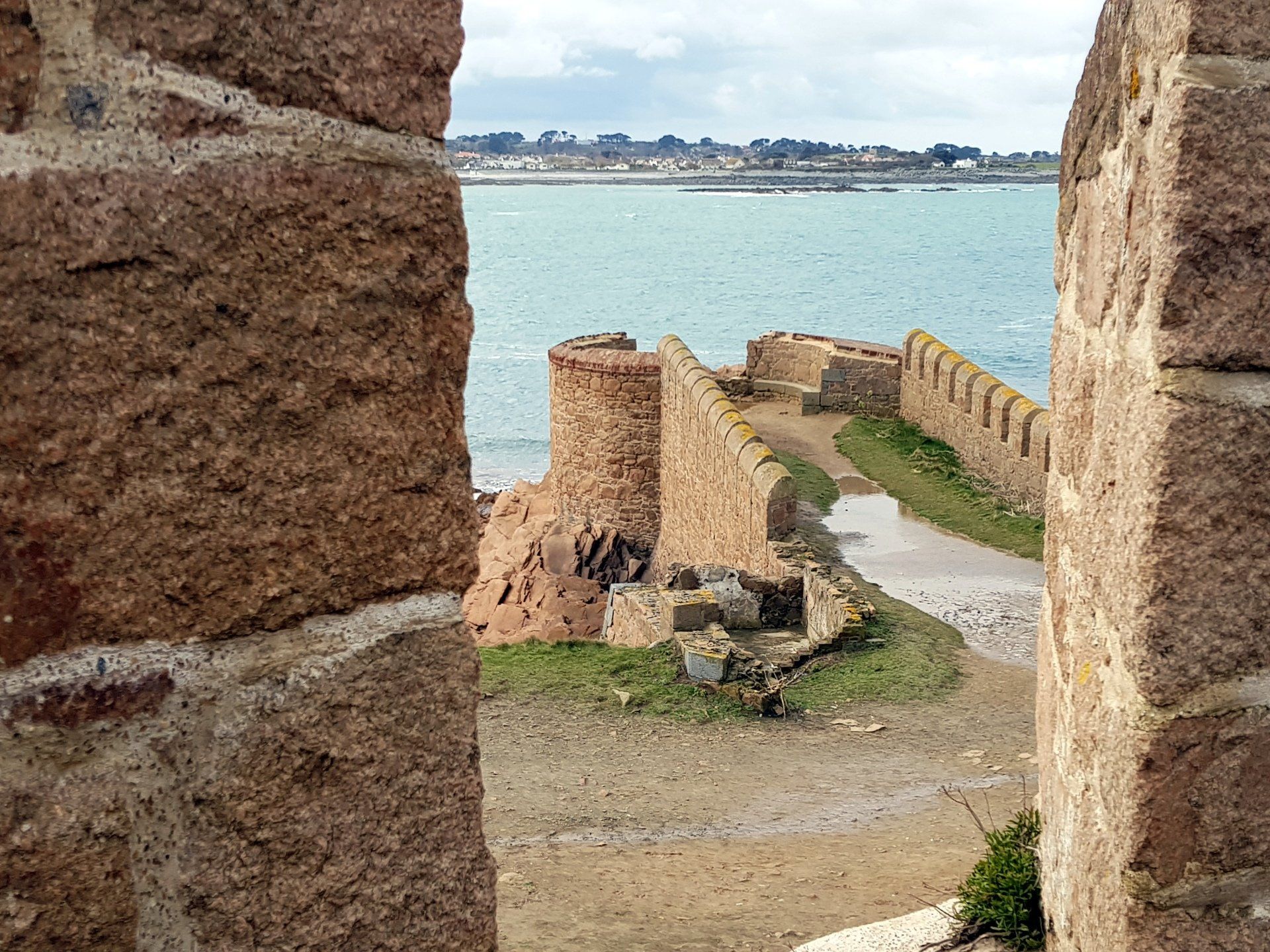
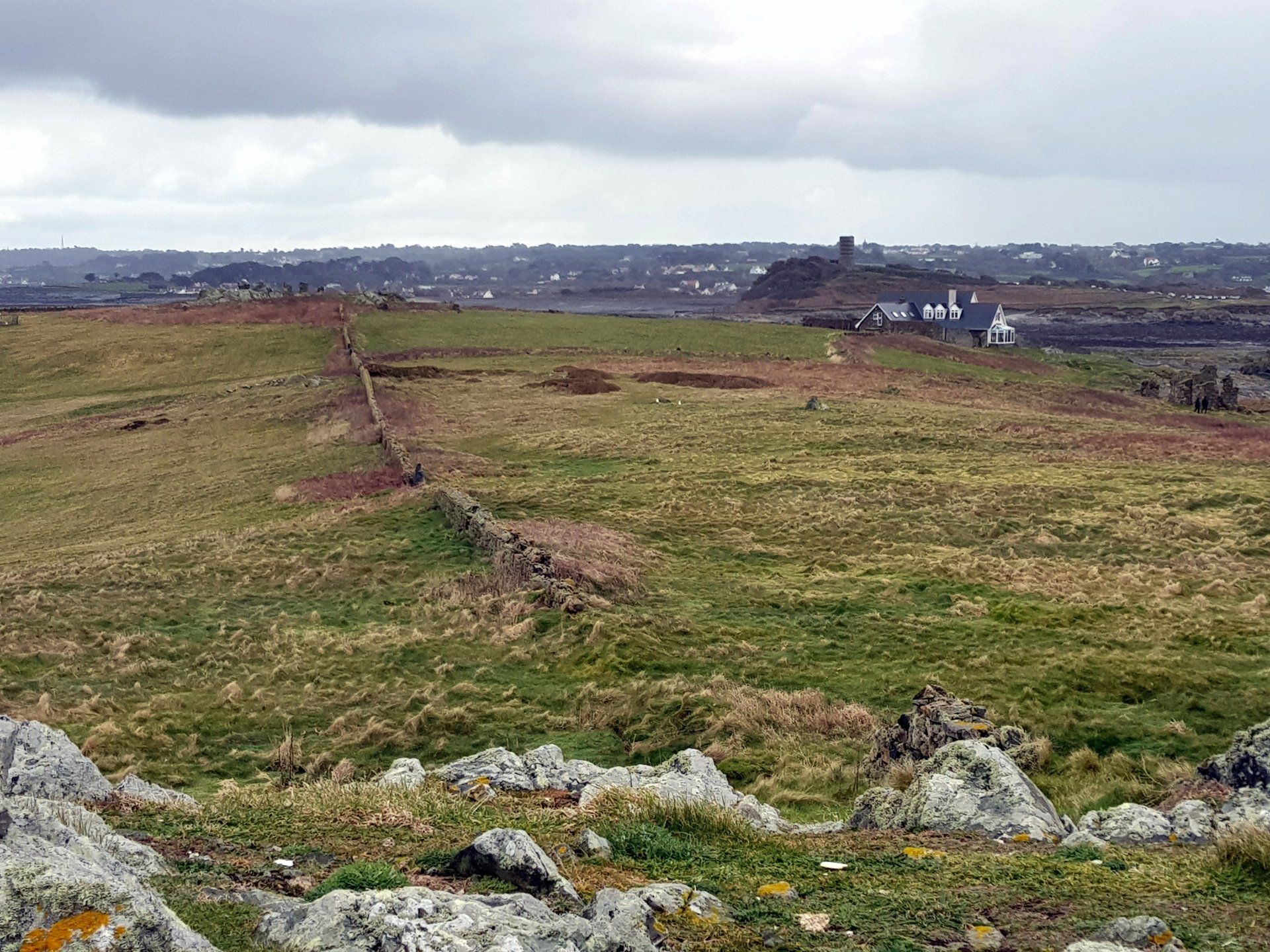
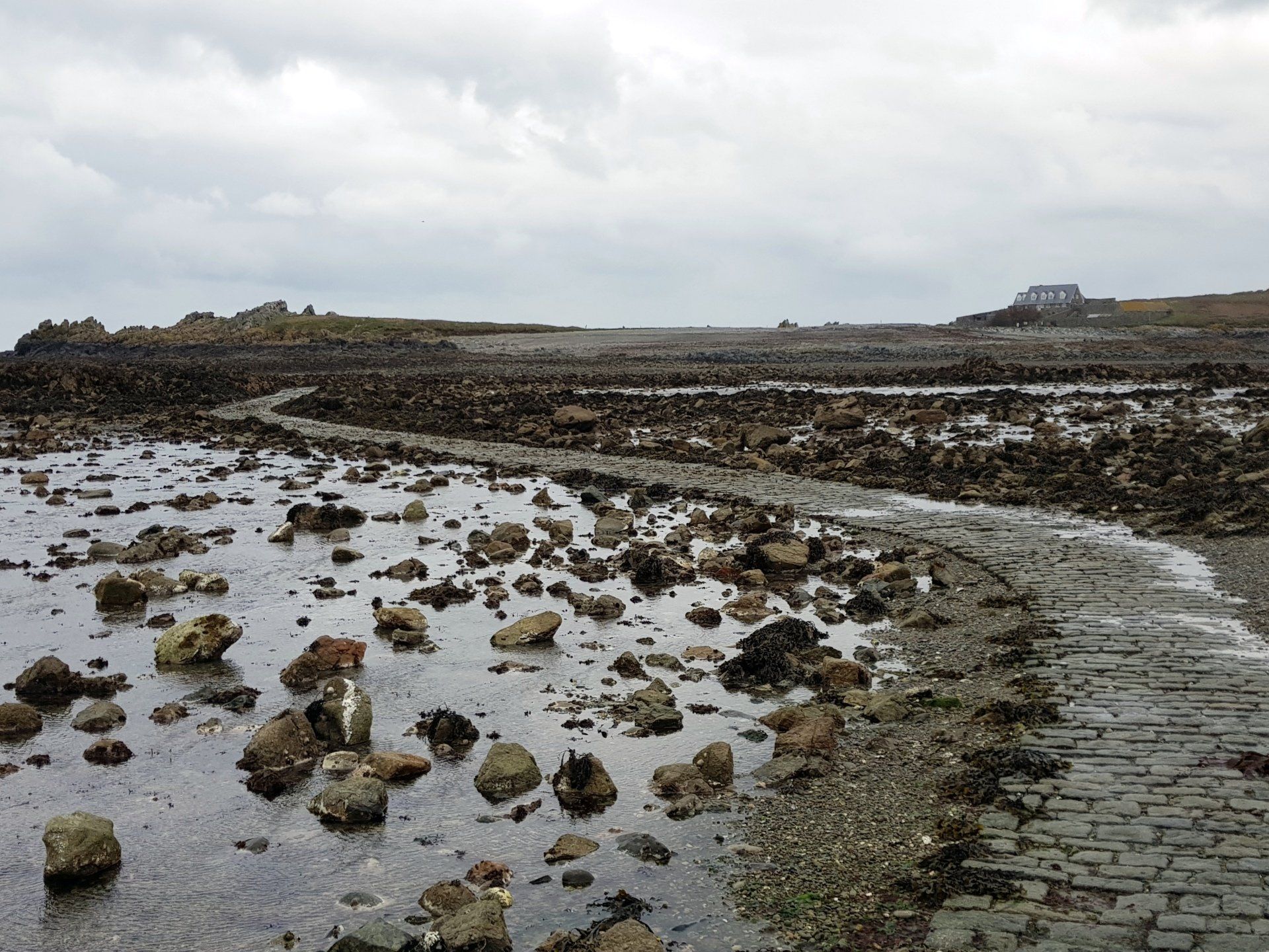
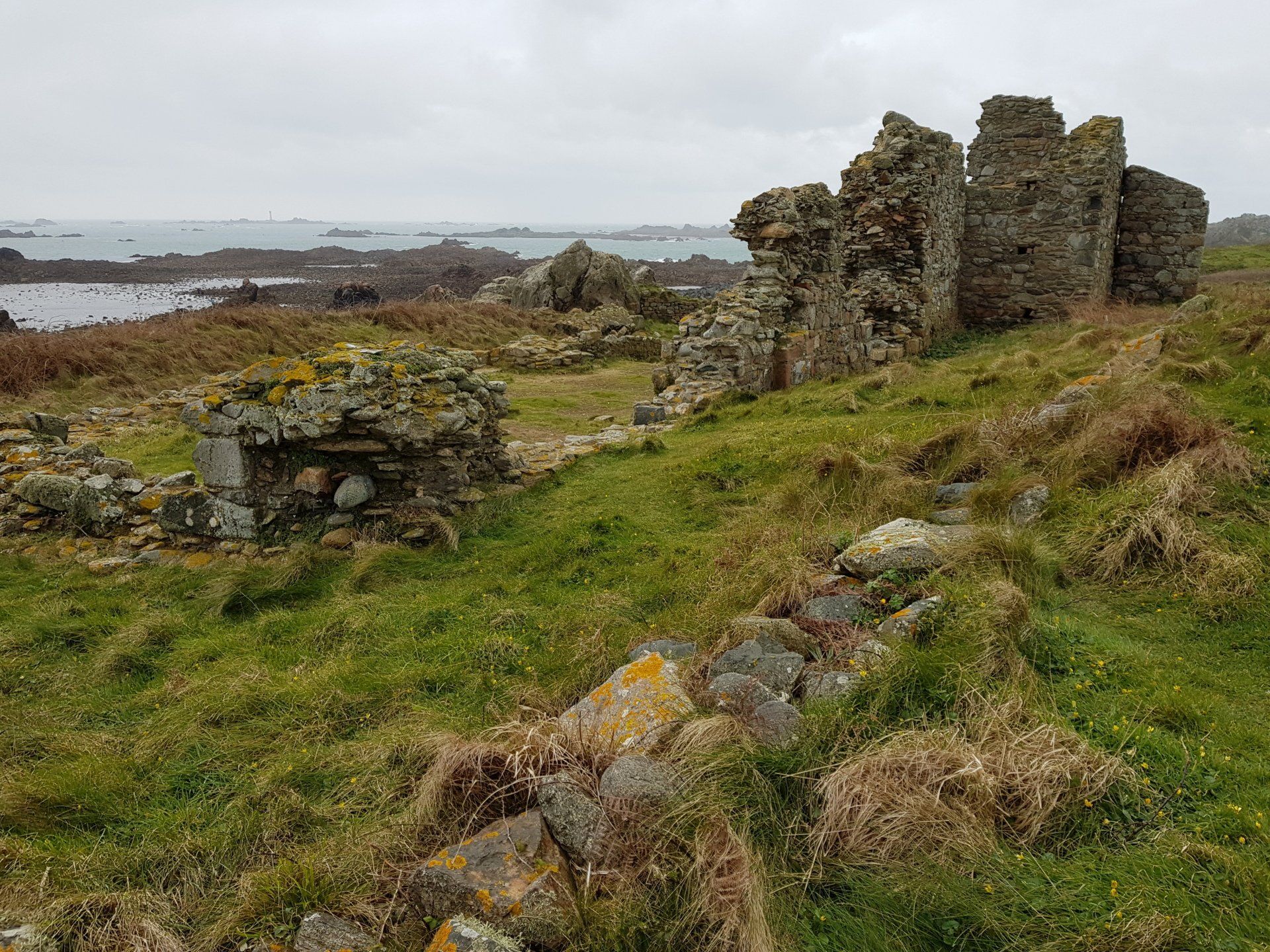
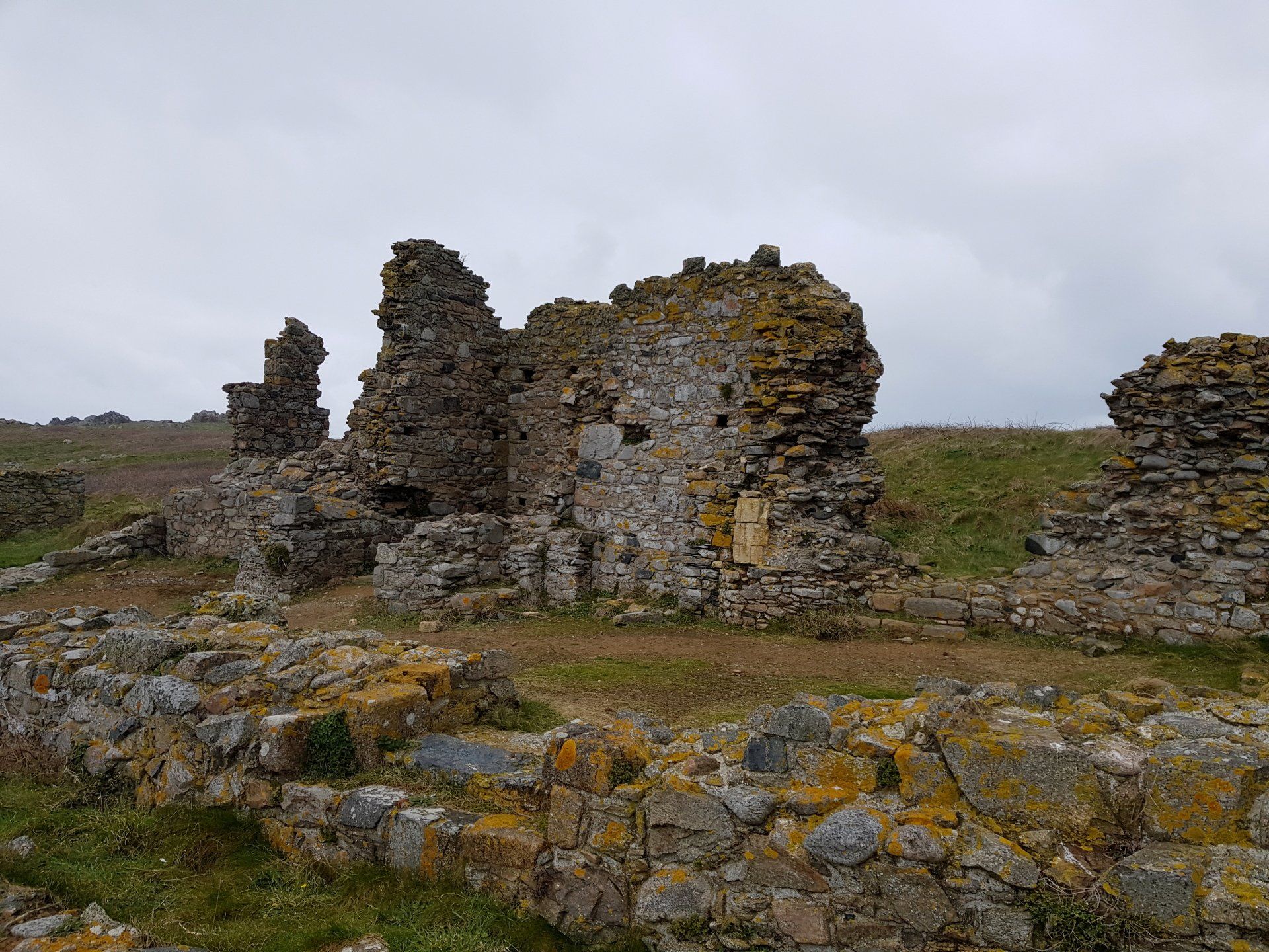
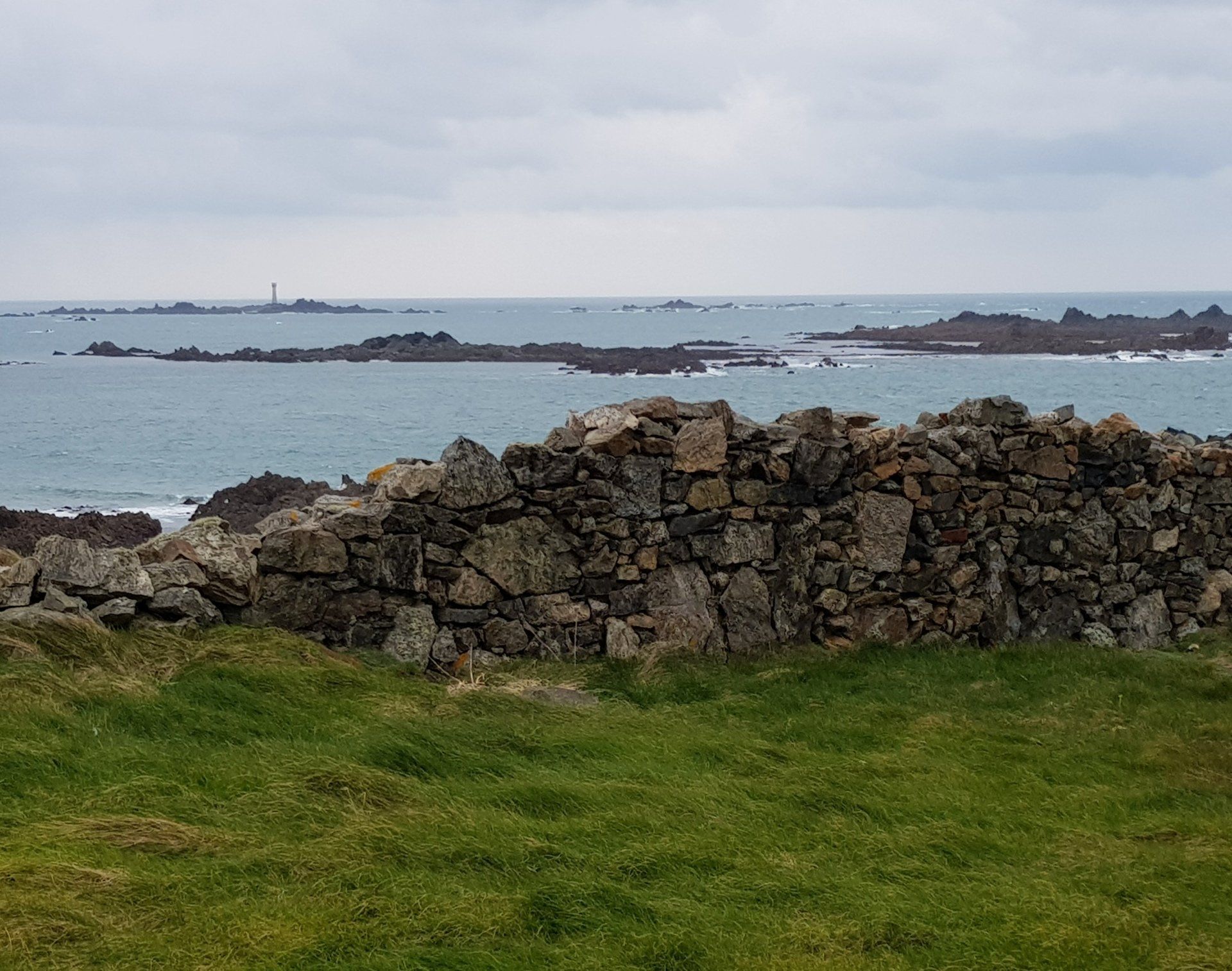
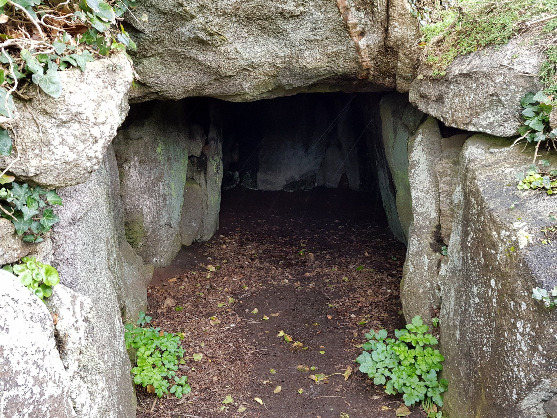
I can see a few people trekking along the causeway and I duly join them. In parts the route is a cobbled track, others just stones, shingle and the seabed with a defined route, but I splash along feeling the wind and gentle rain around me. Certainly at one with nature! I emerge on to the Island after about half a mile. Although the Island is not permanently inhabited there is a large house as you arrive and you can use this for over-night lodging. Probably quite an experience. I do the lap of the Island, about 1 mile. Other than some ruins of the Lihou Priory, a Benedictine priory from the 12th Century, and a couple of walls there is little construction, just the natural environment...tough grass and lumps of granite. Guernsey is out of sight and it feels remote and exposed here. The weather may be a little wild but it seems to suit the mood and location. I like it.
I can see a few people trekking along the causeway and I duly join them. In parts the route is a cobbled track, others just stones, shingle and the seabed with a defined route, but I splash along feeling the wind and gentle rain around me. Certainly at one with nature! I emerge on to the Island after about half a mile. Although the Island is not permanently inhabited there is a large house as you arrive and you can use this for over-night lodging. Probably quite an experience. I do the lap of the Island, about 1 mile. Other than some ruins of the Lihou Priory, a Benedictine priory from the 12th Century, and a couple of walls there is little construction, just the natural environment...tough grass and lumps of granite. Guernsey is out of sight and it feels remote and exposed here. The weather may be a little wild but it seems to suit the mood and location. I like it.
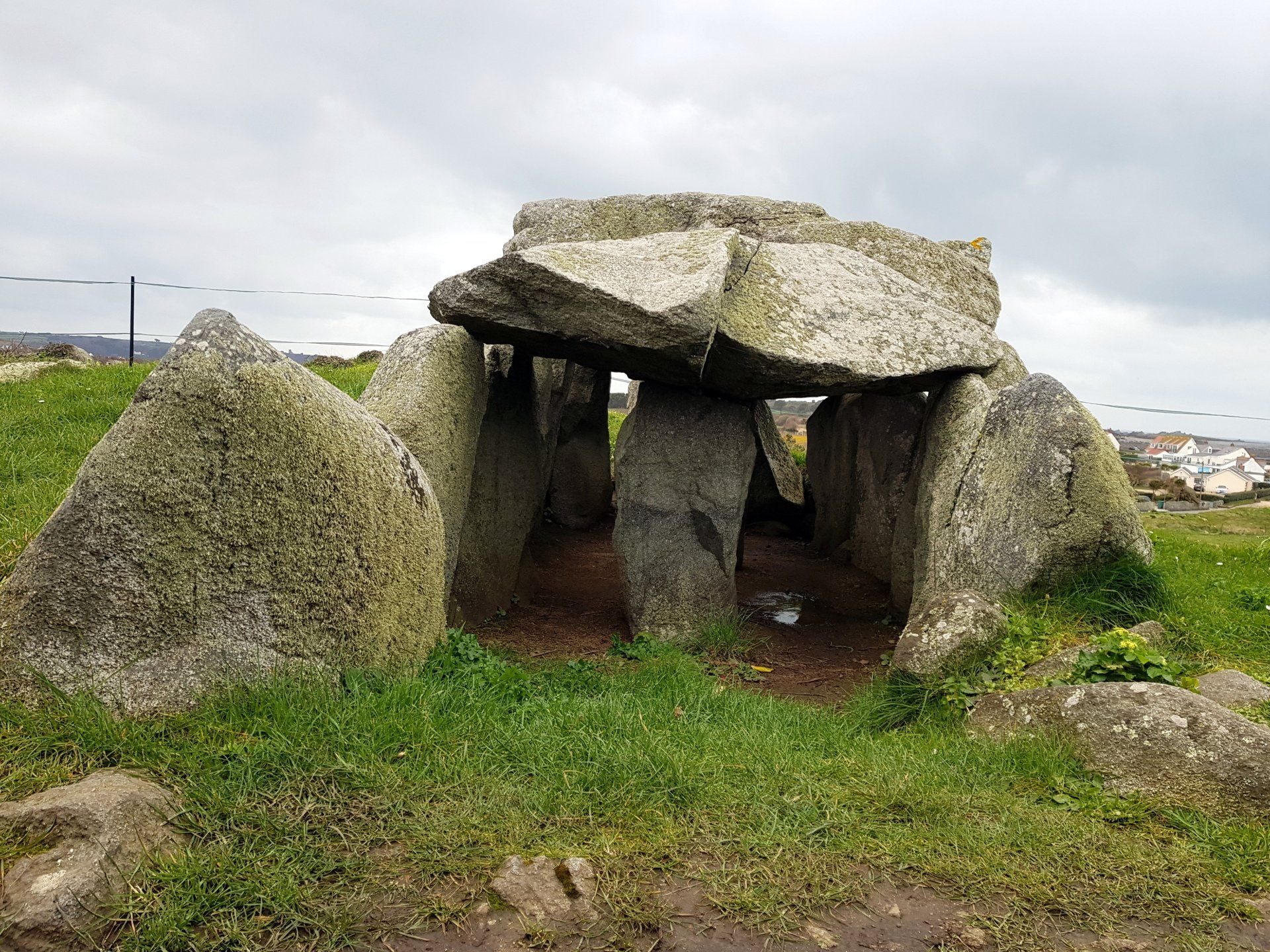
Back across the causeway, I spot yet more mock cannon coastal defences, this one L’Eree battery…I never realised there were so many! I rejoin the road but very soon spot another sign so go exploring again, this time coming around to another burial dolmen (tomb) apparently known as the tomb of the fairies, who came out to dance at midnight on moonlit nights. Who am I to argue.
Along this stretch of road are more fortifications from the occupying German forces in WWII, known as Stutzpunkt (or Strongpoint), a feature around all of Guernsey. All have signs with short description and history, something I have noticed on all the historical spots I have come across today. Well done to whoever organises these as they have really added to the enjoyment of the walk, highlighting and explaining the feature points.
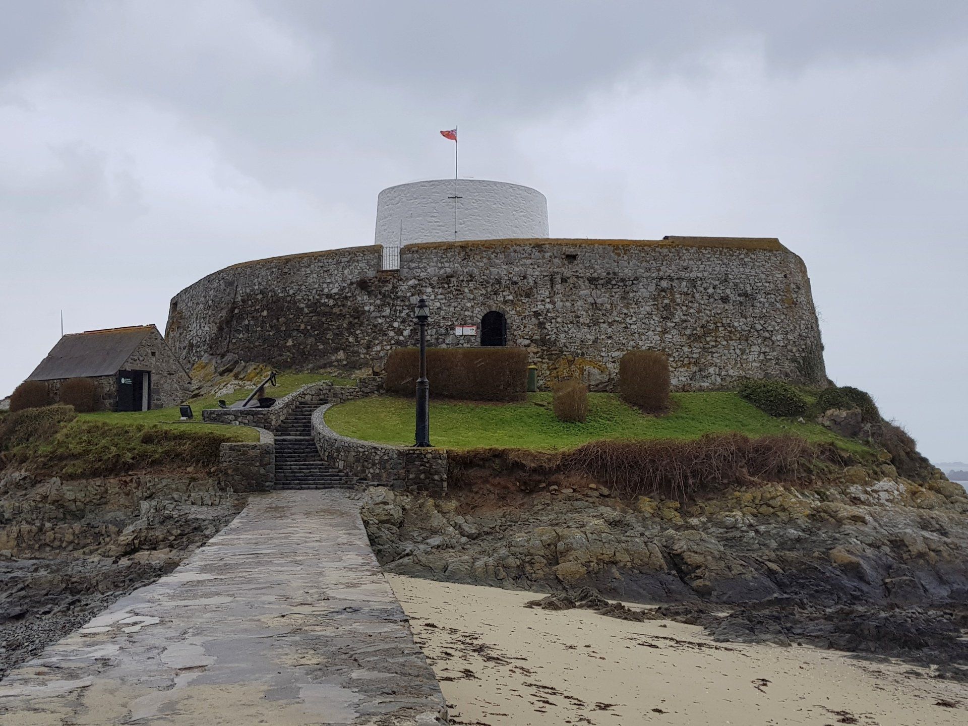
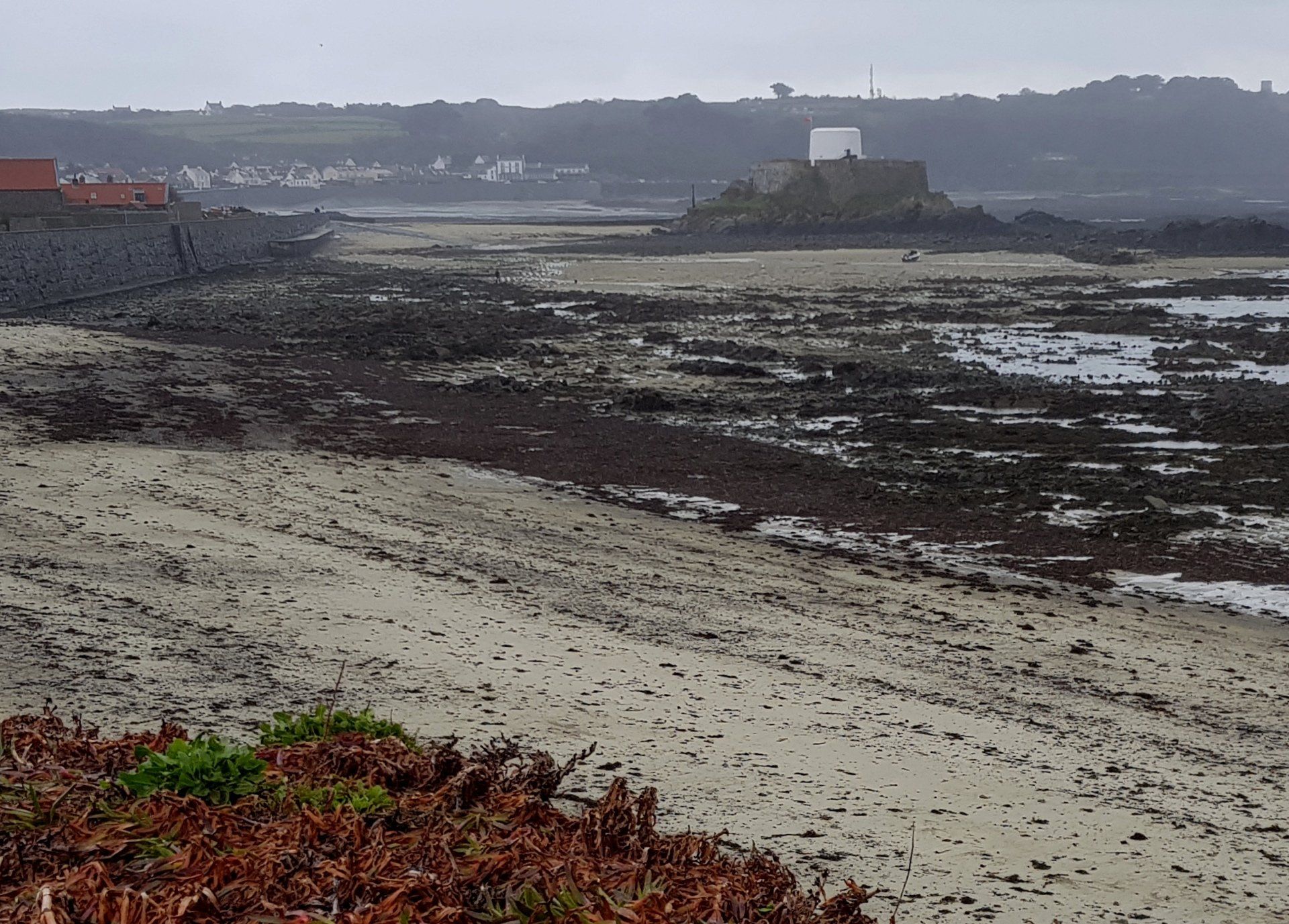
By this time the rain has really set in and is now fairly heavy. I am glad I am nearly at the end of this leg, the finish line just around the corner. One last fortification to pass is one of the most iconic in Guernsey, Fort Grey, or “the cup and saucer” as it is known to everyone. Great for photos on a nice day and tide up, lousy at this point! The fort is now a shipwreck museum but I pass on a visit today and reach my destination, Portelet. I have really enjoyed my walk, more than anticipated, but now ready for home. A fair bit of meandering has made a total of 11 miles.
That concludes this leg of the walk and indeed that is Guernsey for a while as I do not plan to continue until November, at which time I will complete the circuit by walking our glorious South coast cliffs. But with Spring here it is time to travel off Island, so next up in April I have Sark, then on to Jersey in May....
Stats: 10.9 miles, 3hr 38mins moving, 4hr 15mins total, Average moving 3 mph, 773 ft Ascent