Hadrians Wall - Day 1
SUNDAY 17TH JULY 2016:
So I was walking around the coast of Jersey and my daughter rings for a chat. What is it with you men she says? Why do you need to walk? Apparently her friend’s dad is doing a hike, for 5 or 6 days, Hadrians Wall. That sounds interesting I think and on my return I google. Indeed it does look good, seed of idea is sown and sometime after I book….my first proper multi-day hike! So here we are many months later, it is July 2016 and I am ready to go. When I booked the trip, I did not think I had time to do the whole walk, that probably needed 6 to 7 days plus travel, so I decided to miss out the end legs and do the 4 central legs over 4 days, a reasonable plan. So says the head, but the heart says no, seems wrong to not complete it, so as a last minute juggle I am going to try and squeeze it in…maybe.
Sunday 17th July, weather is perfect and transport is all on time, what are the chances of that!. An 8:30 flight to Manchester, straight through to ‘The Station’ and train up to Carlisle, with change at Preston. Passing through outskirts of lake district and Yorkshire dales, scenery starts to up the anticipation levels. Arriving at Carlisle station it is a 10-minute walk to the first nights B&B, destination achieved by about 1:30pm. The plan is to get a taxi to the Western starting point of the Hadrians Wall Path National trail – Bowness-on-Solway, then walk back to the guest house. At about 15 miles it should take 5 to 6 hours, sunset not until 9:30ish so should be fine.
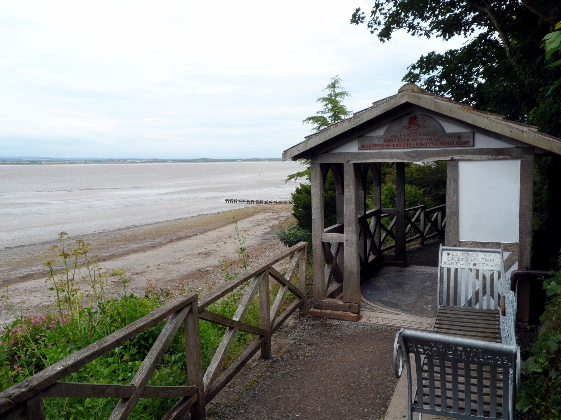
The taxi duly arrives and I am off. It seems to take forever to get there, are we sure it is only 15 miles!. I get dropped at the Kings Arms Pub, the traditional finishing post for those doing the walk East to West. Now where? Using my inherent navigational skills I set off down the most likely road. My inherent navigational skills never let me down, I am always 100% wrong! Sure enough this doesn’t look right. Back to the pub to ask directions, one of the locals tells me to go the other direction and look for a small alleyway on the left, I find it and locate the starting position, the Banks Pavillion, a small ‘hut’ sitting on the estuary coast – the Irish Sea off to the left, can I reach the North Sea on the other side? A couple on bikes are trying to do the same thing (and were just as lost) as this is also one of the starting points for the cycle route 72 which can be the biked Hadrians Wall trail or part of a longer coast to coast ride.
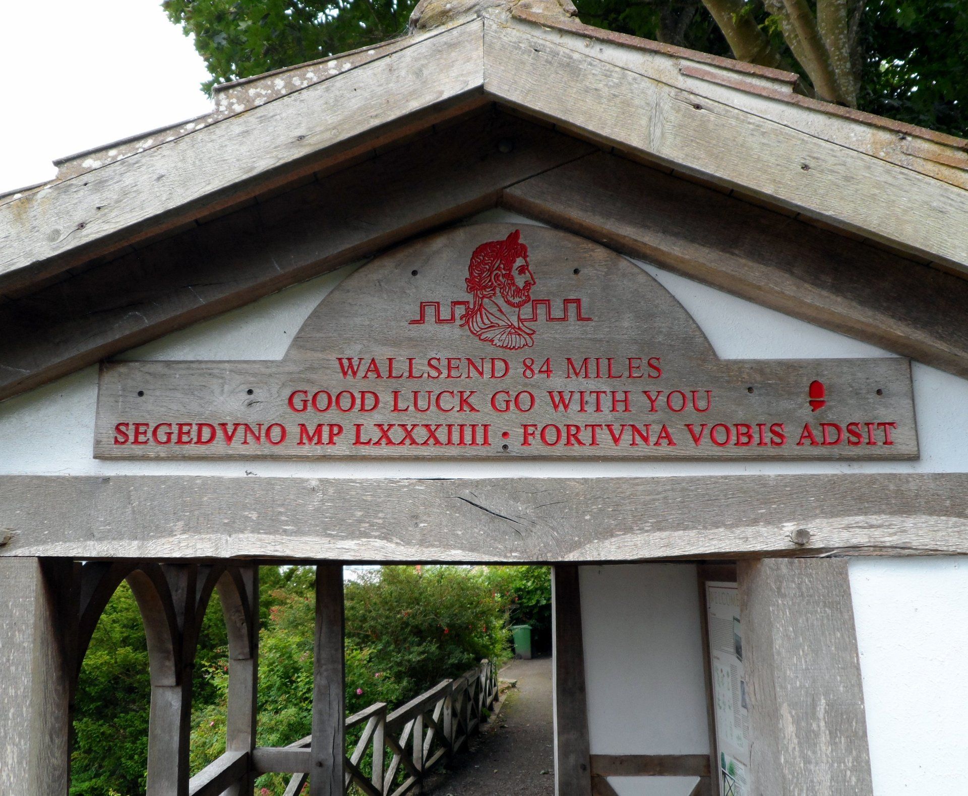
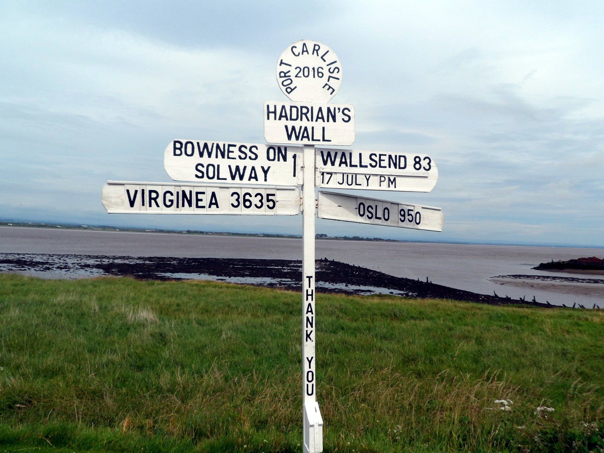
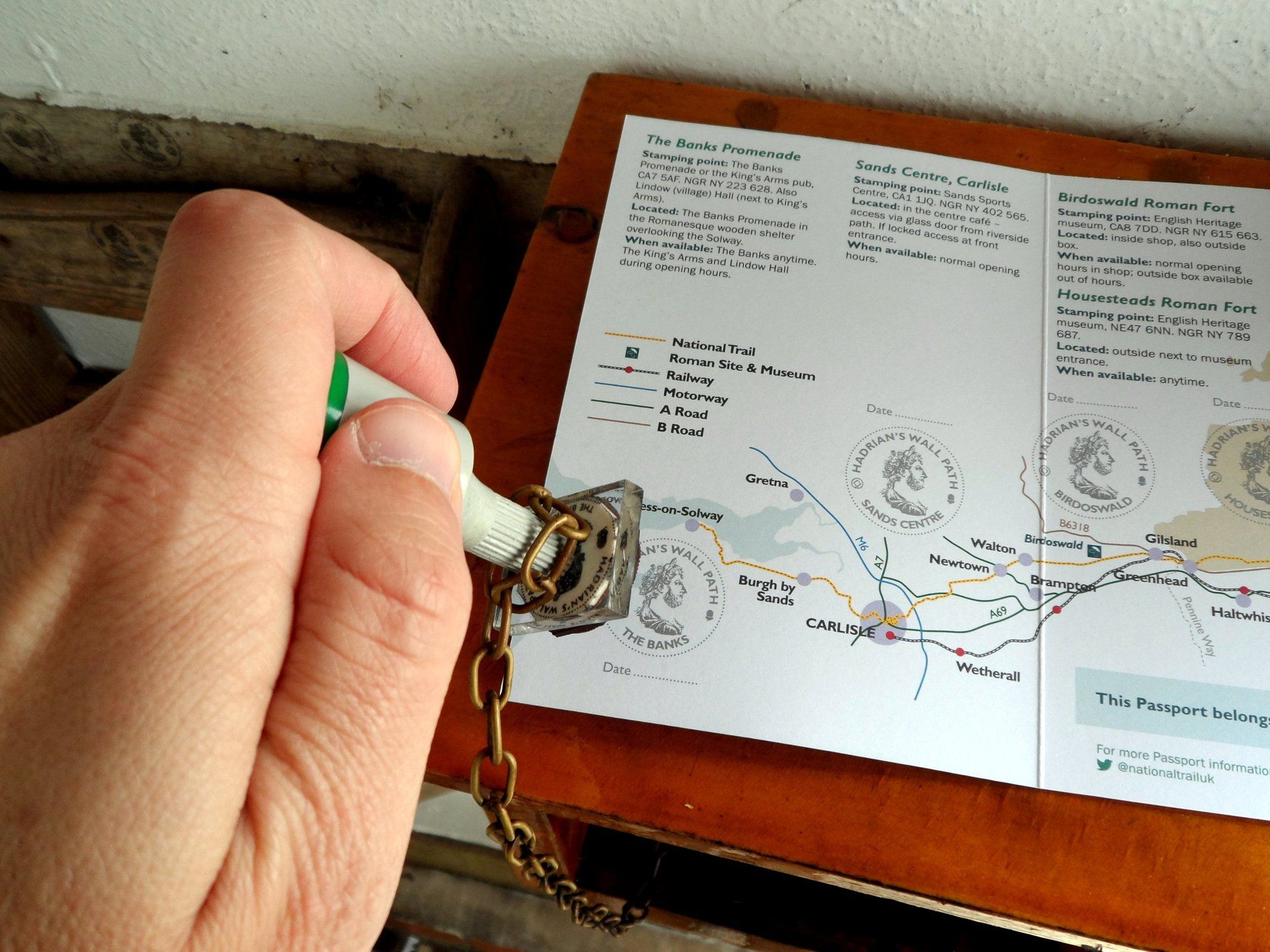
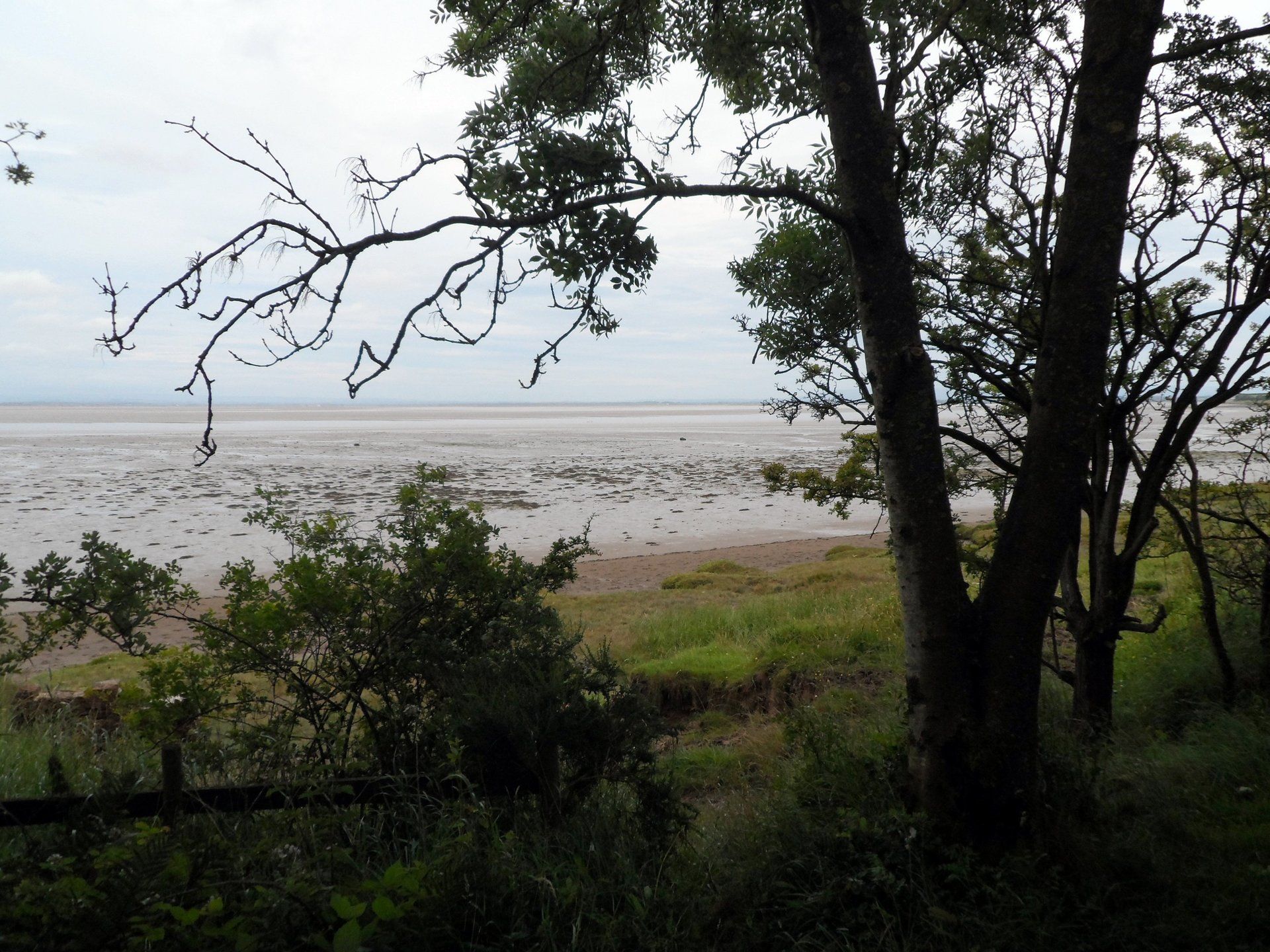
After taking obligatory selfie at the starting pavillion and entering the first stamp in my HWP passport I walk through and begin the trail. It starts off very gently, with paths, trails or road along or near the estuary, the tide is out so the water is in the far distance. Over the next couple of hours I see a few hikers, presumably completing the HWP. A group of 6 English lads, 4 Norwegian women and a few couples and singles, maybe total of 15. Funny to think they are just finishing their trip and I am just starting, I have the whole adventure ahead of me. In a while I come across a signpost and as I am taking photo a voice behind me says “hello”. The chap is sat in his garage and is surrounded by signpost letters. He puts them on the sign and takes photos, presumably for a small fee (Oslo is shown from the Norwegian women). One way to make a living!
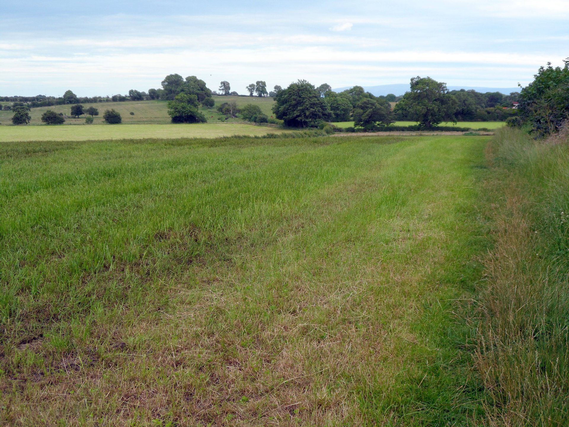
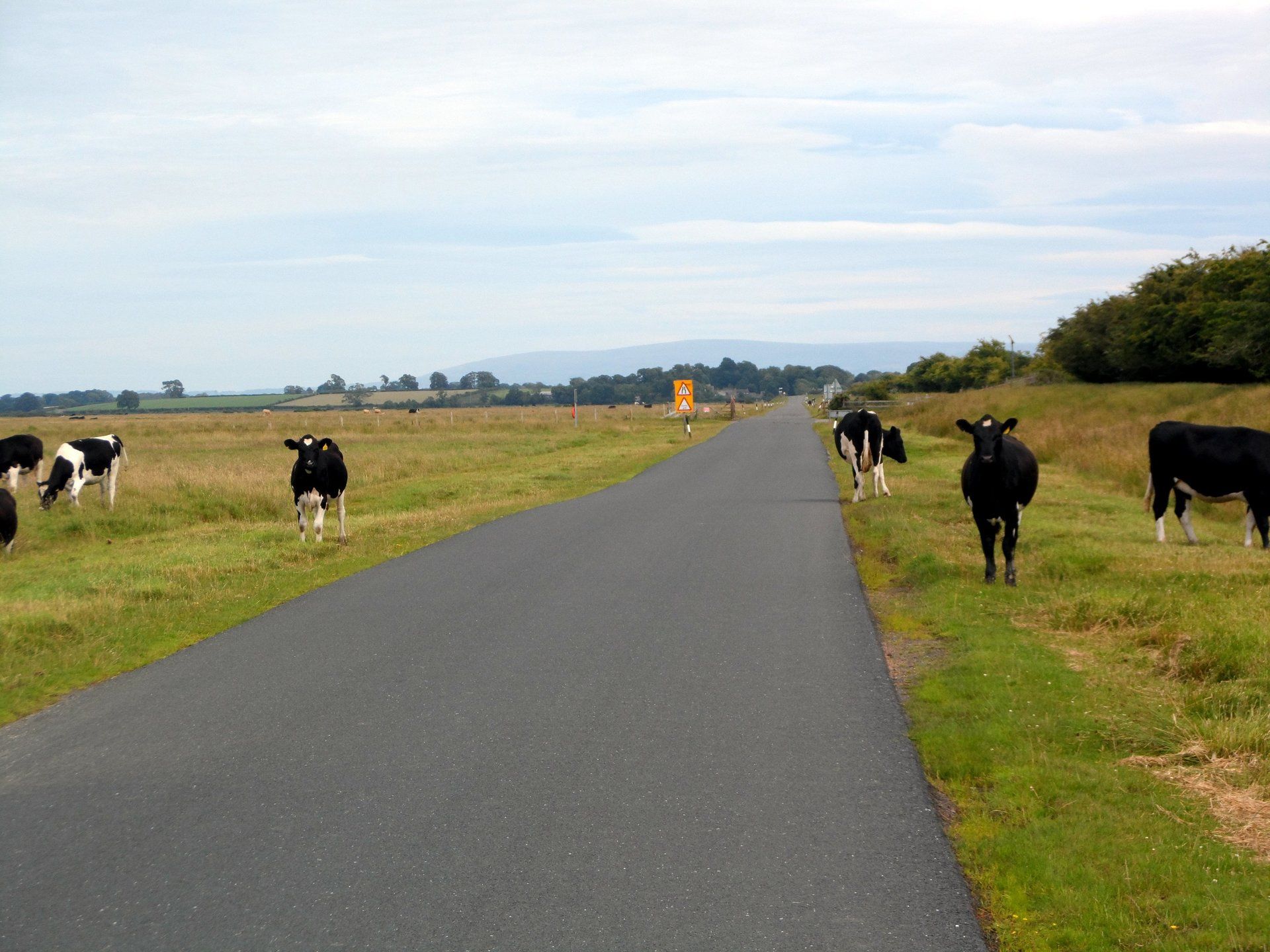
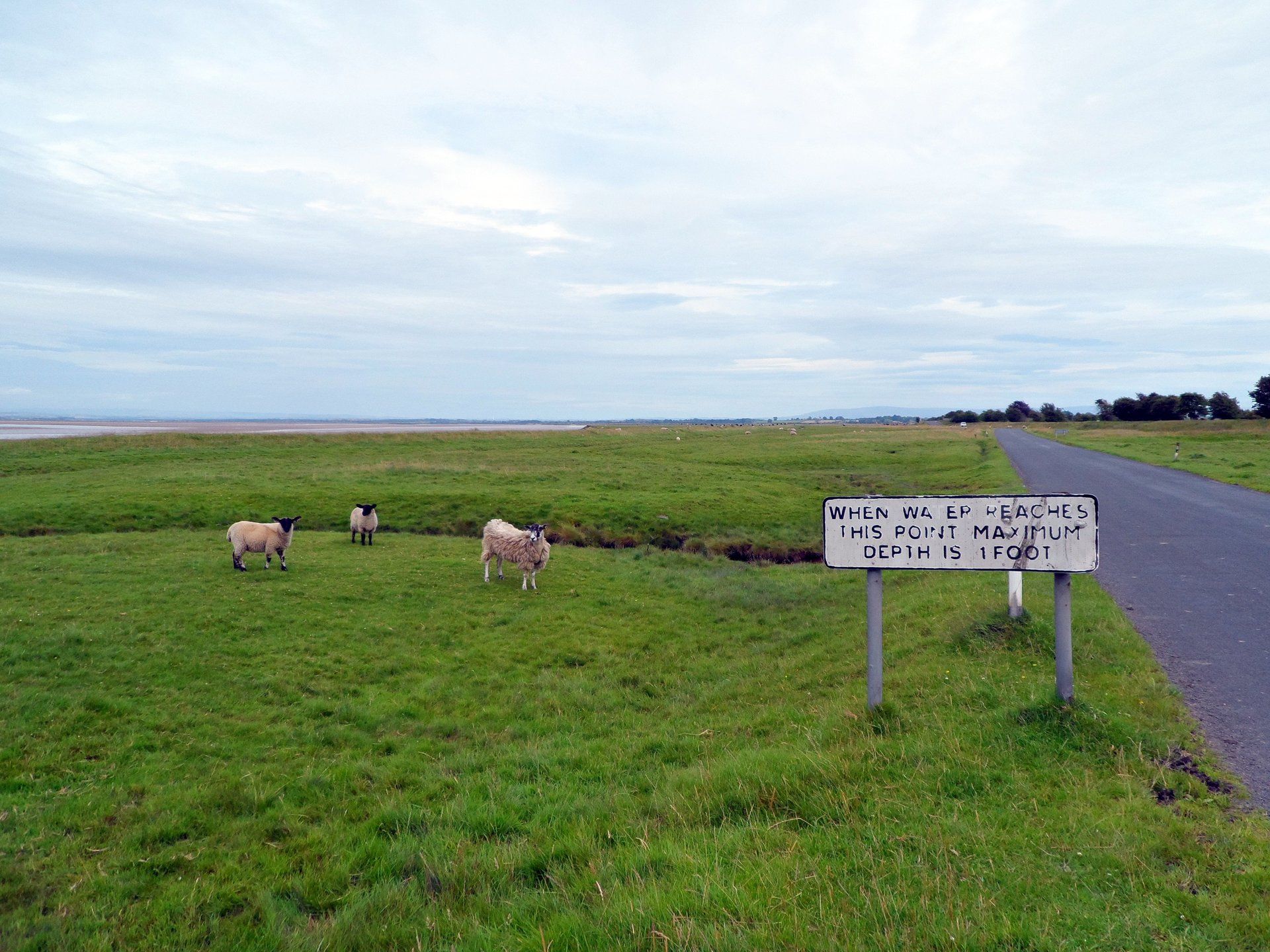
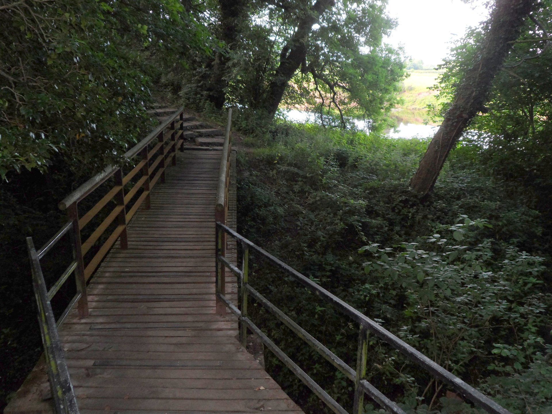
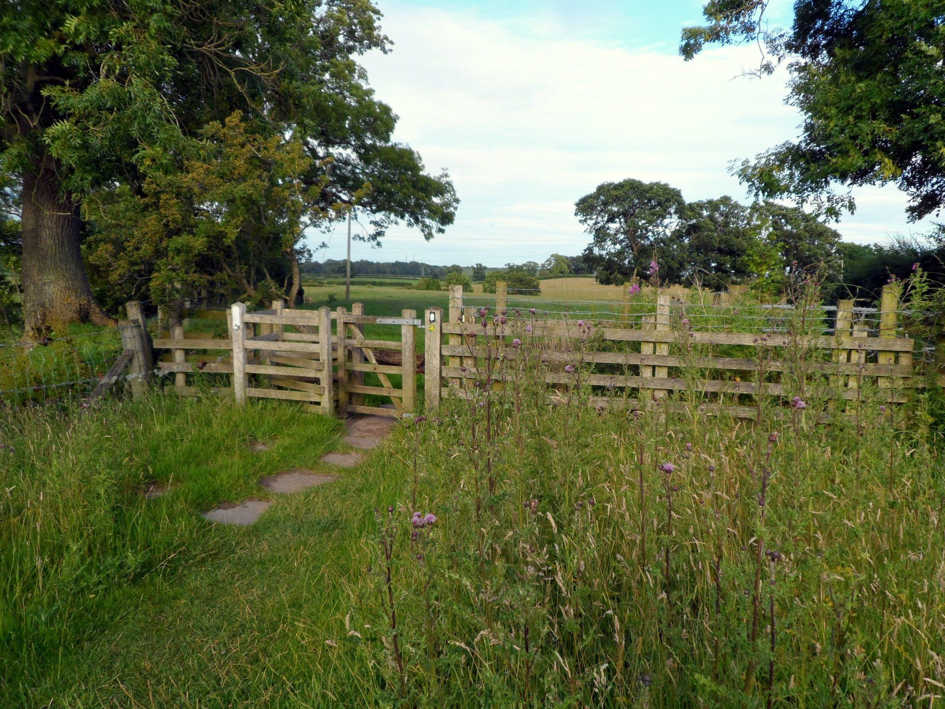
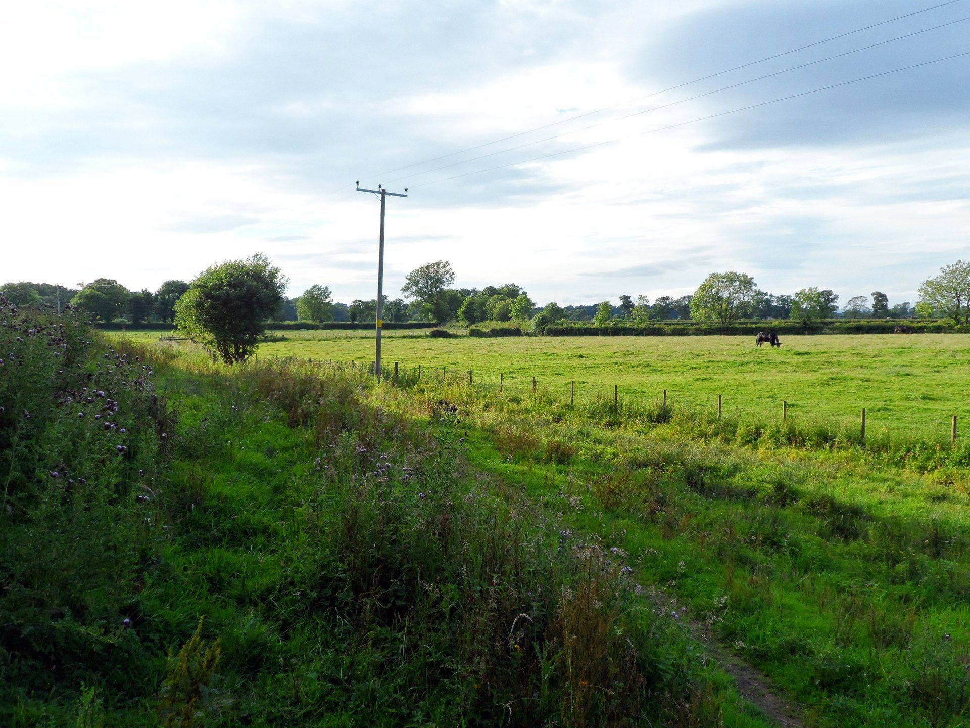
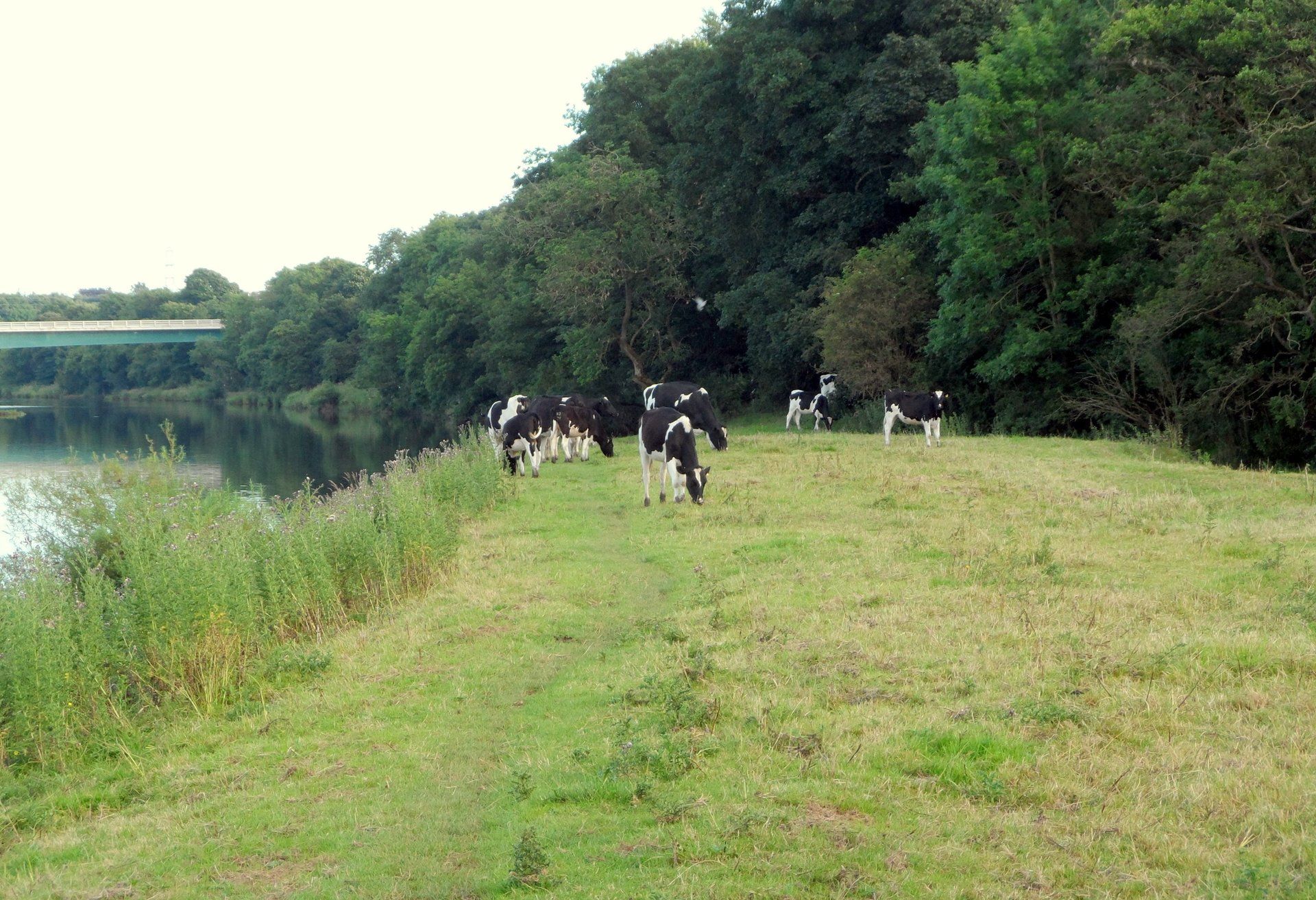
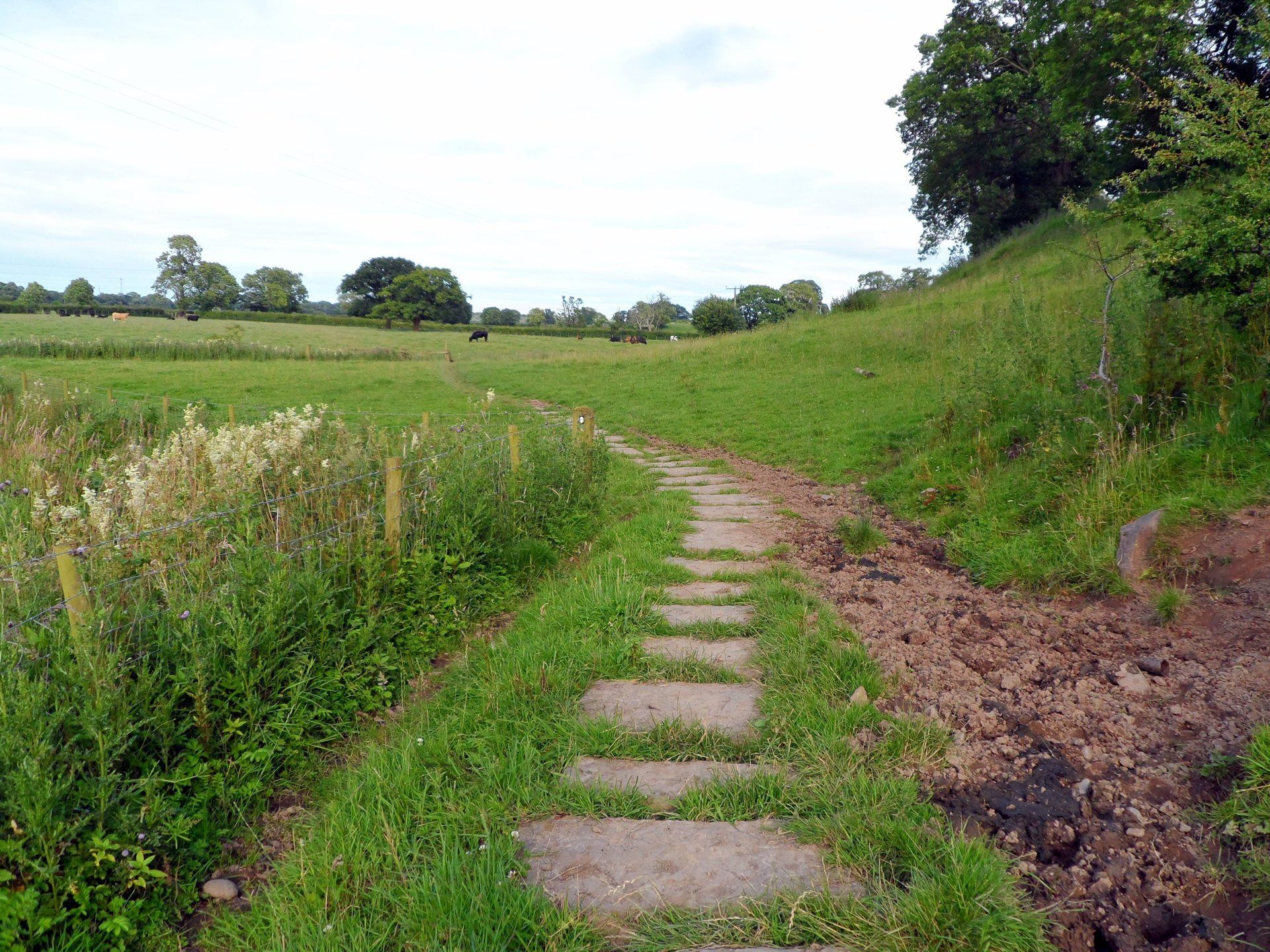
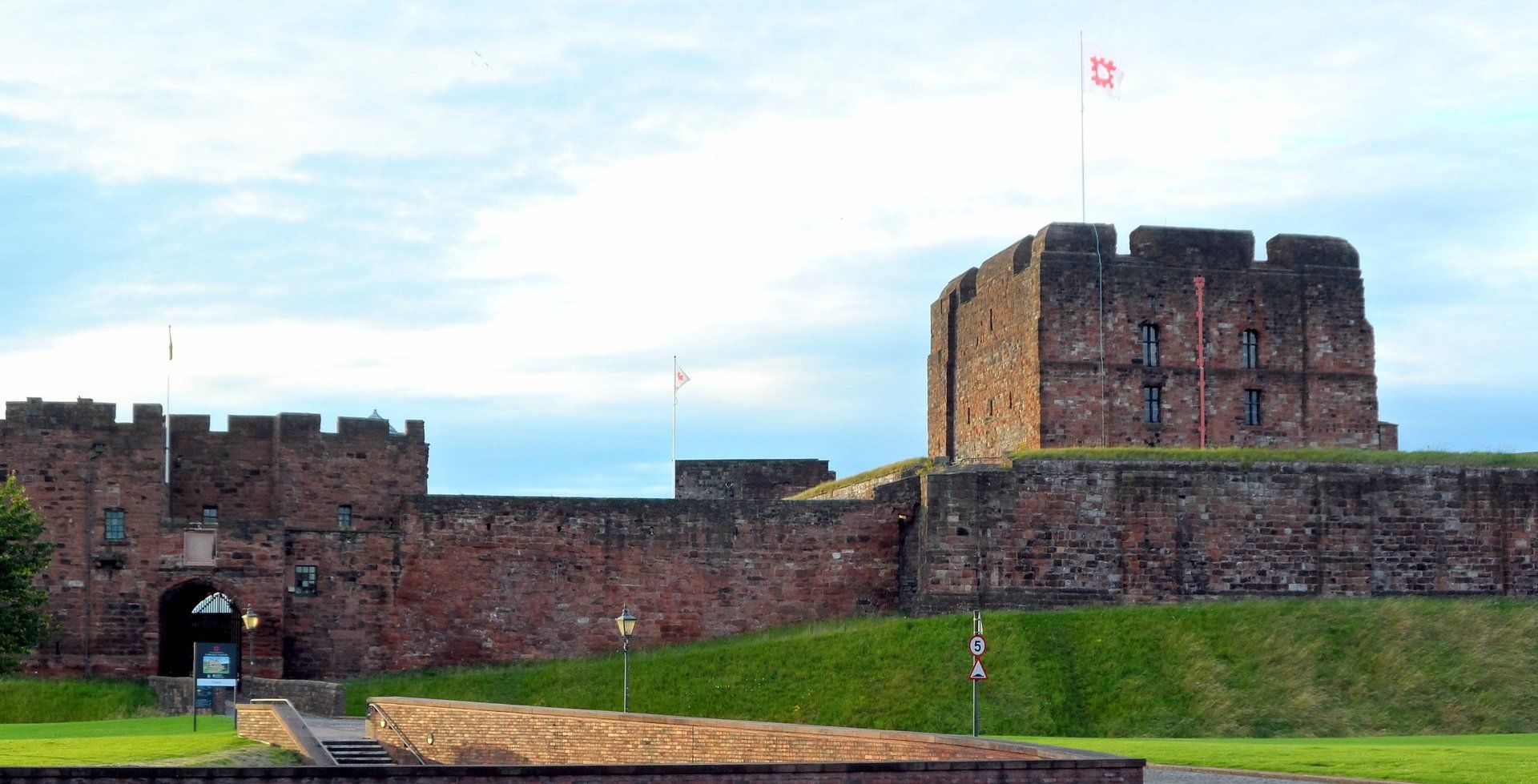
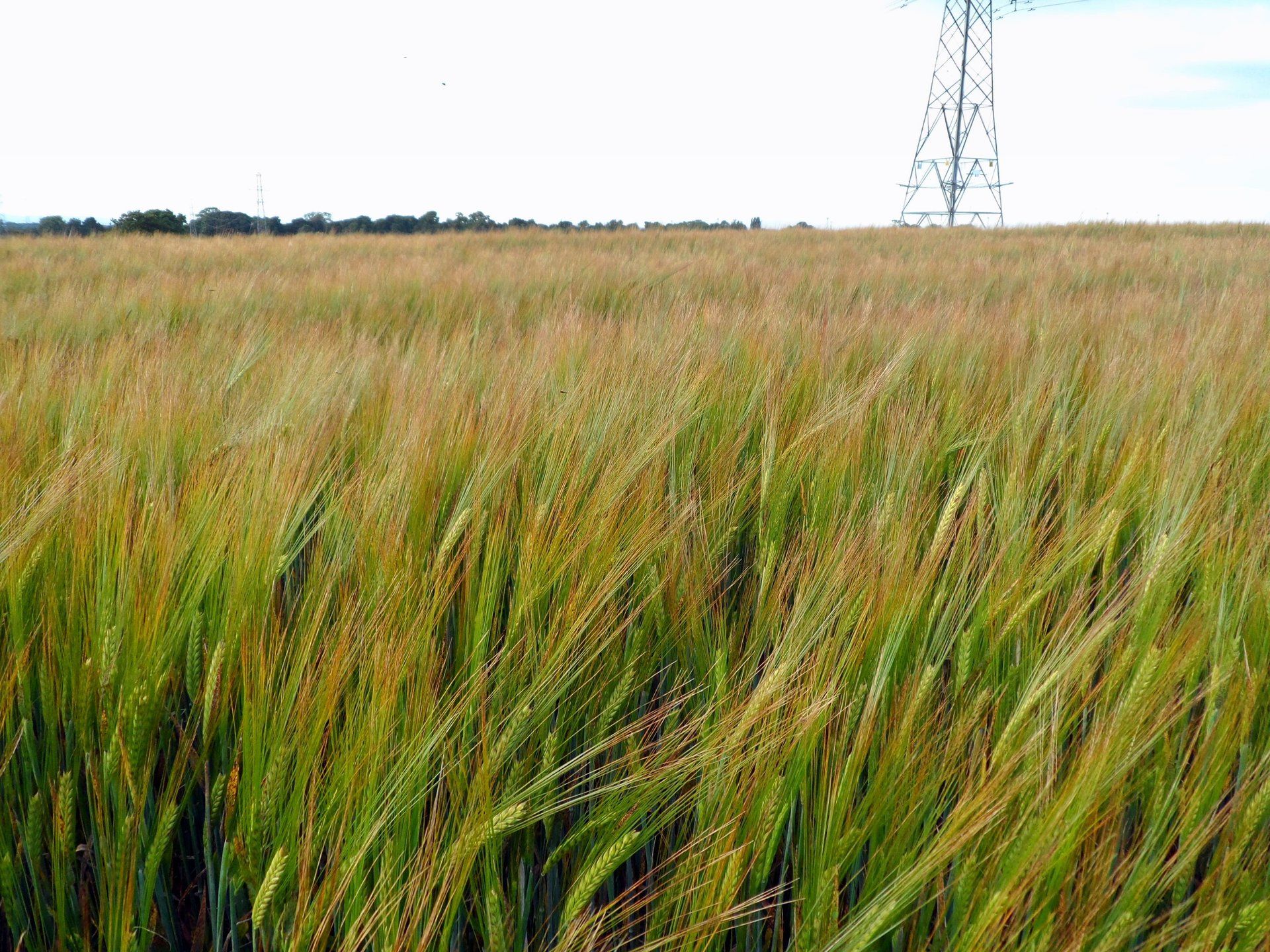
Next there is a long road ahead – literally! – a 3+ mile stretch of straight road busy with sheep and cows. The cars push through the cows when they wonder on the road, for walkers it is a bit more interesting. I take the wide path around them when necessary. This whole area is marshland and apparently floods on particularly high tides – signs show water levels up to 3 feet deep : I guess hikers need their swimming trunks at certain times!. On I walk, eventually coming to Burgh-by-Sands, a village about half distance. I am getting hungry now, having only snacked since breakfast which was a long time ago, fortuitously I come across a pub, The Greyhound Inn, and enjoy a gourmet burger and chips. That feels better, now fuel to burn. The remainder of the day’s walk is mostly through fields and country paths. There are a couple of temporary diversions, the second on the approach to Carlisle. This takes me into the built up areas and towards the city centre. I get slightly lost, but am not too bothered about finding the route, now it is time to head towards the guesthouse. I have loaded maps on to my phone and use to direct myself ‘home’. Mission accomplished by about 8:30, 16.5 miles on the Endomondo clock.
The guesthouse is ok, probably my least favourite of them all, a bit old fashioned, room small and the landlady was a flapper, nevertheless the bed was comfy and I slept well.
REFLECTIONS ON THE DAY:
Given this was originally planned as simply a travel day, I was well pleased to do the walk...glad to start at the beginning proper. The walk itself was pleasant if ordinary in places but for me it was job done