CI Way- February
Guernsey (walk 2)
Guernsey (walk 2)
SATURDAY 17TH FEBRUARY 2018:
Another month, another walk, hopefully an improvement on the last!. February 17th has decent forecast – a cool 9 degrees, light westerly wind and a fair amount of sun amongst patchy cloud. Sounds ok. Even given the poor conditions, the January route was not the most inspiring, being mostly roadside walking, but this month we head off around the northern tip of the Island, home to the common land, golf course, beaches and our old Napoleonic era fortifications.
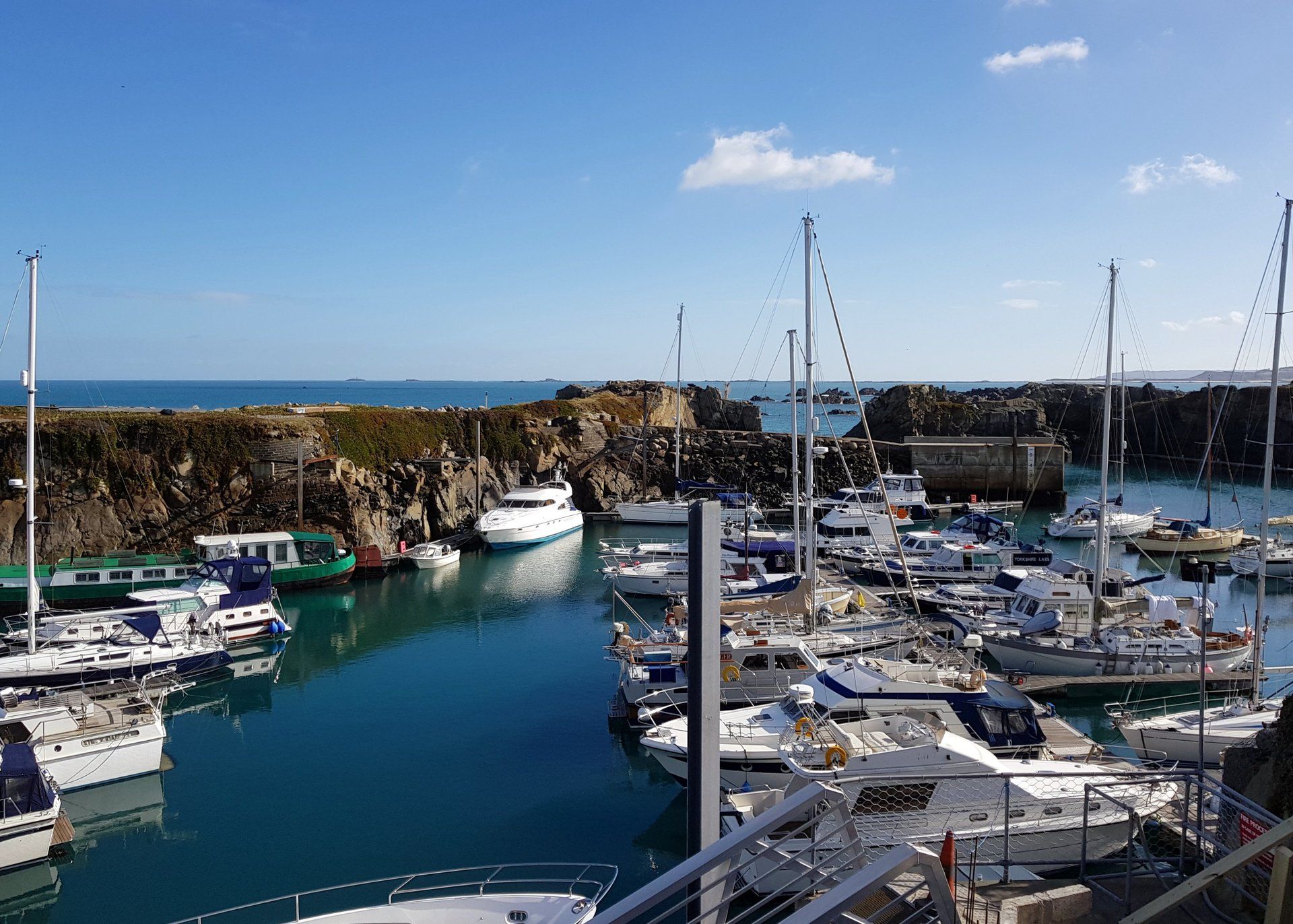
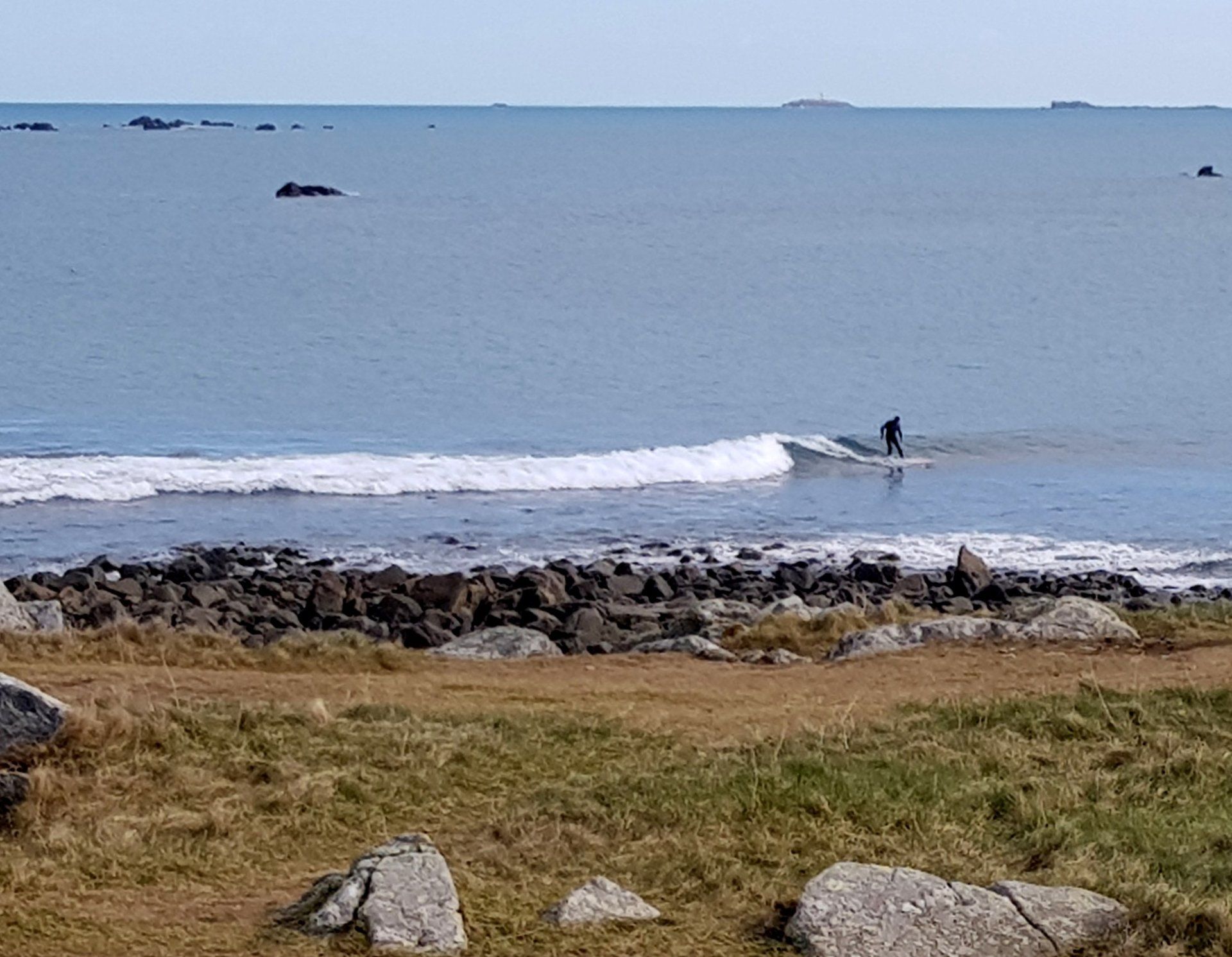
Arriving at Beaucette Marina is a marked contrast from where I left off 3 weeks ago, now sunshine and blue skies – same place but suddenly welcoming! Herm and the other Islands peak over as backdrop and look inviting again. The Platte Fougere lighthouse stands out white & black against the blue sky as I walk towards Fort Doyle and around the northerly points of the Island.
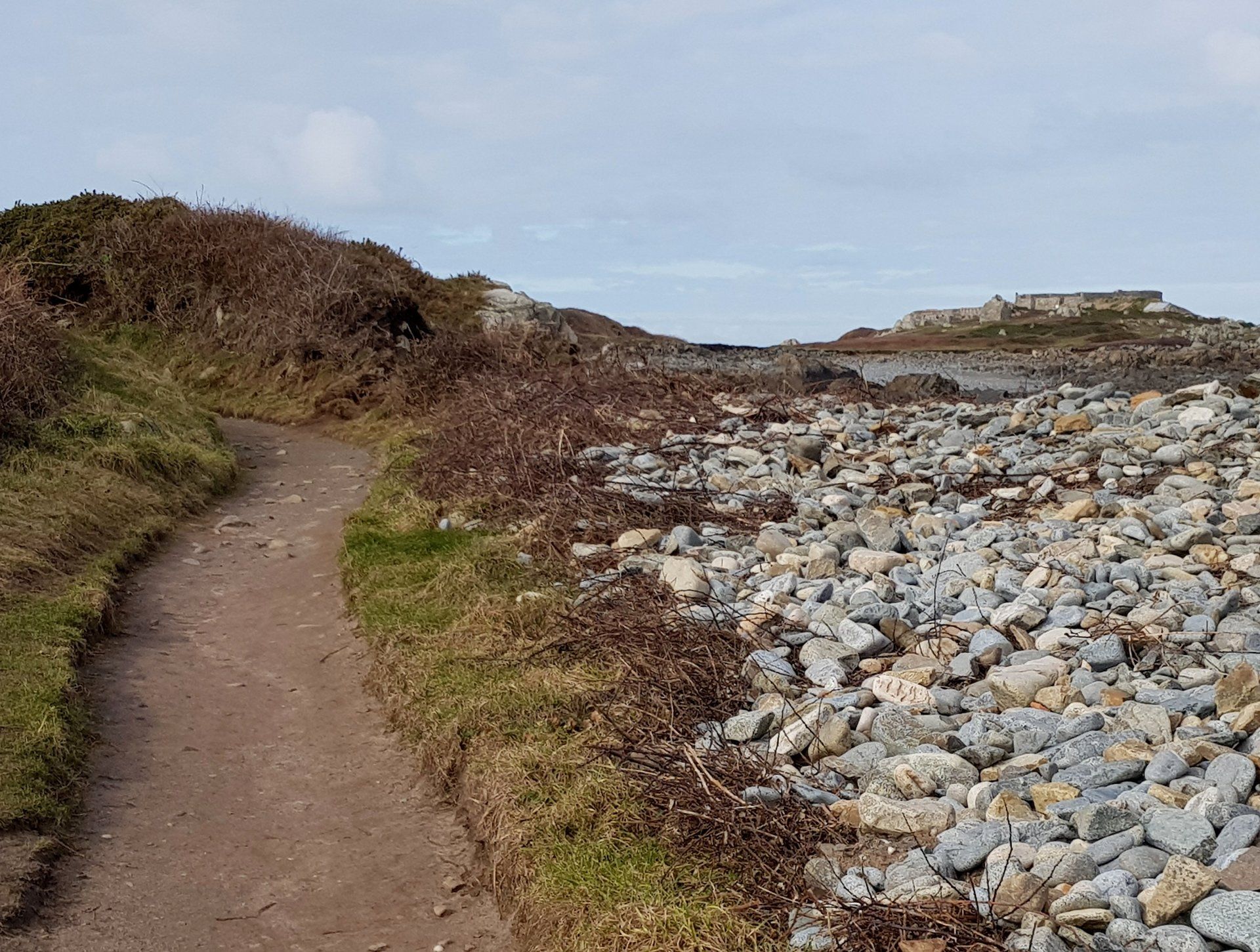
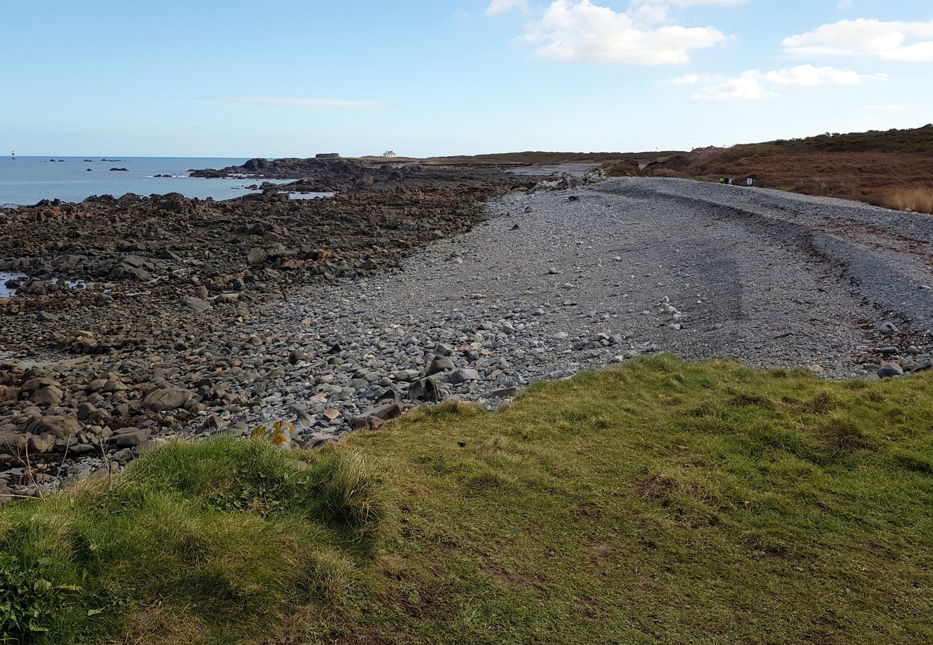
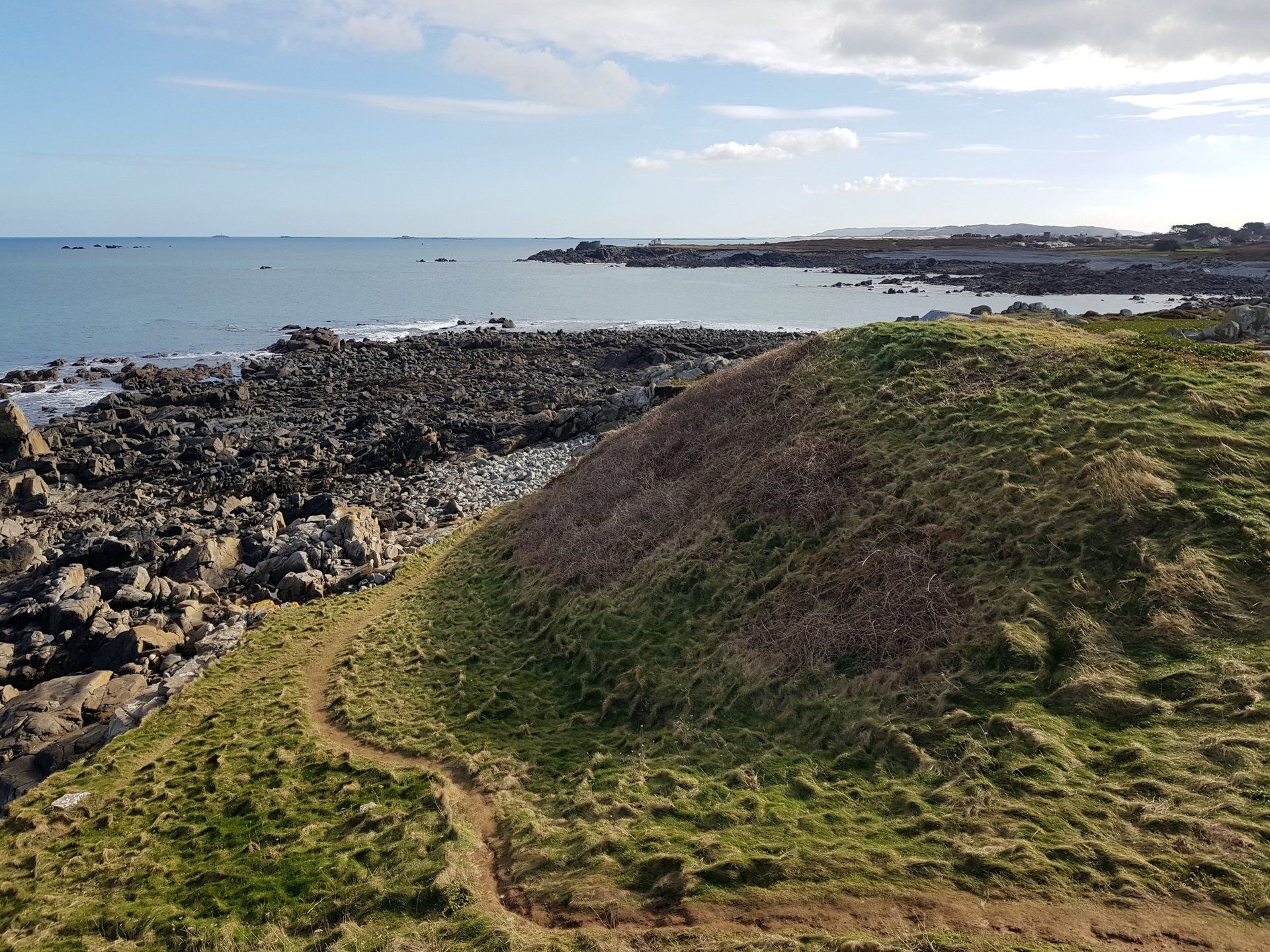
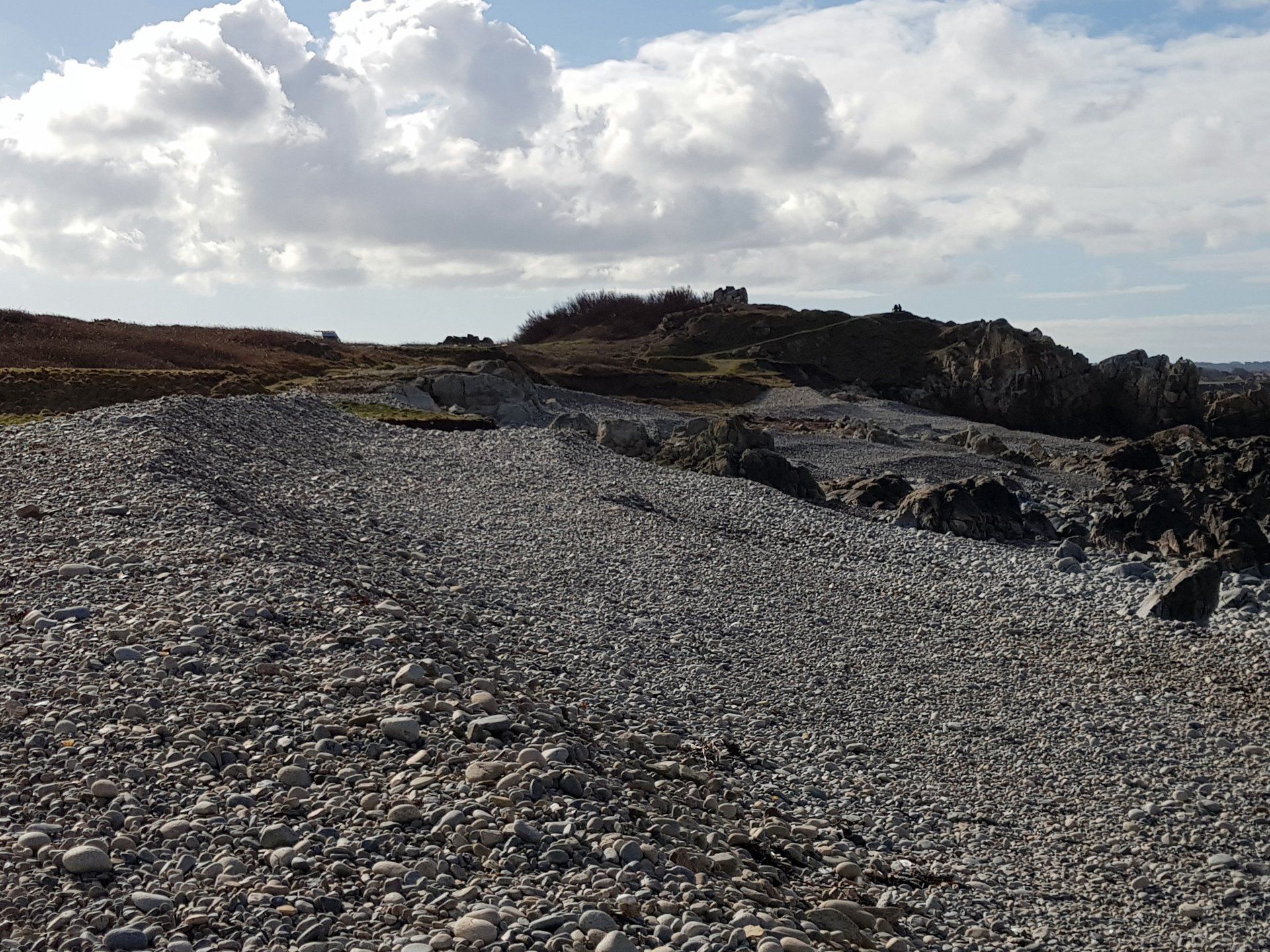
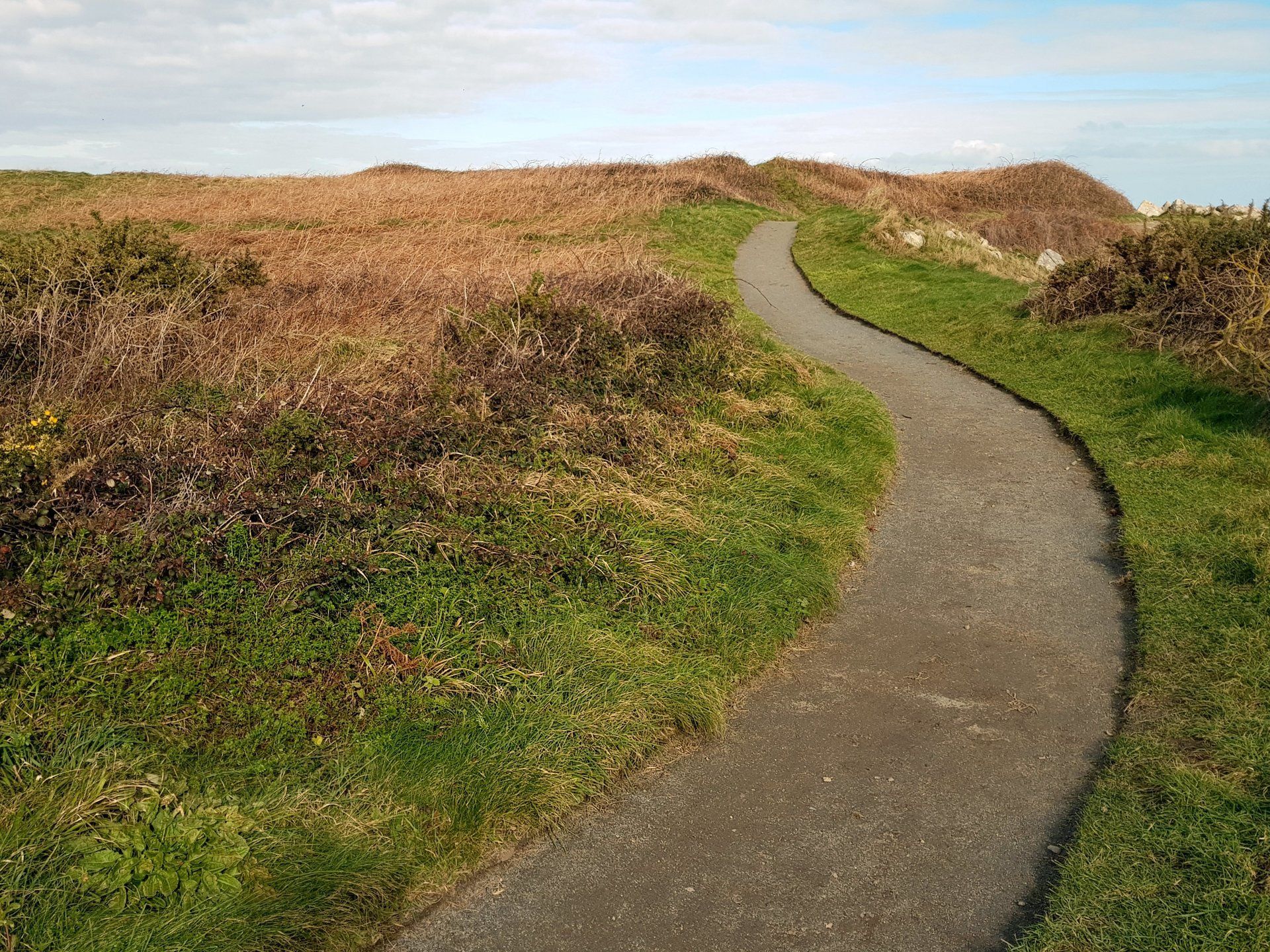
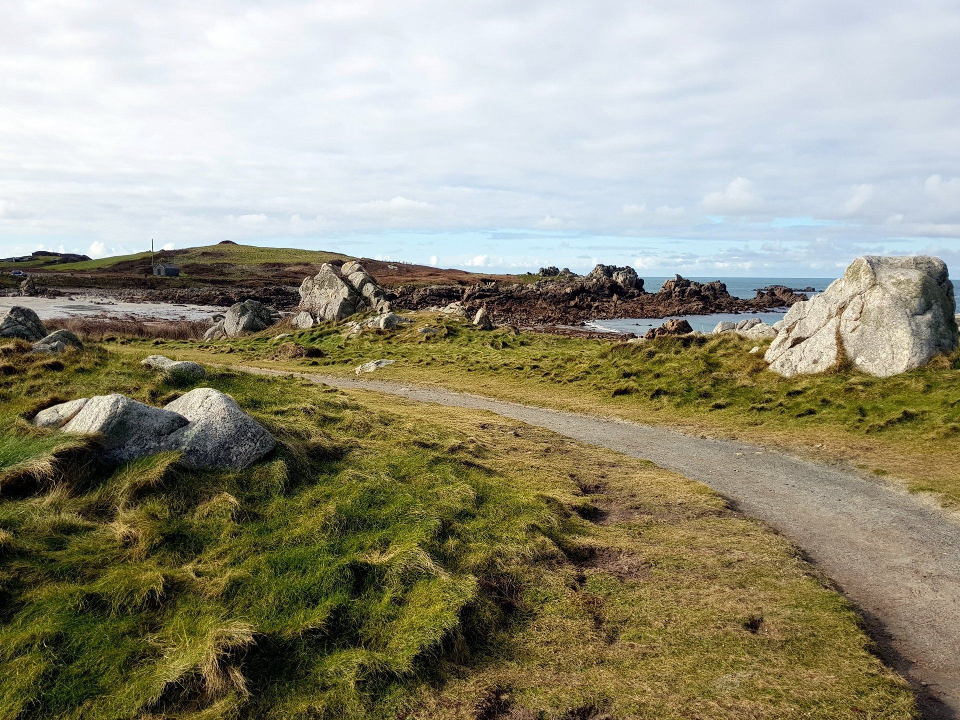
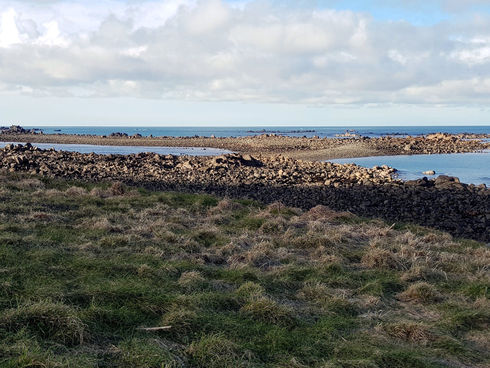
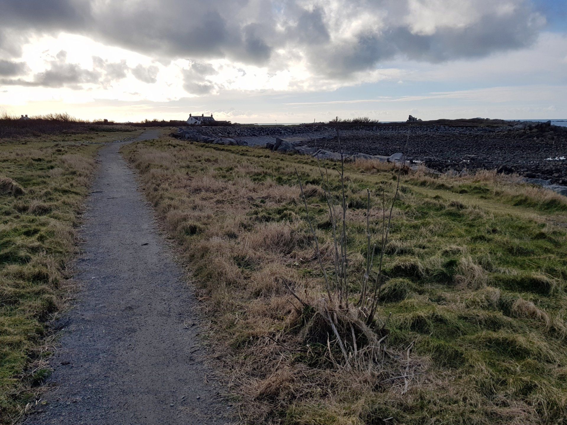
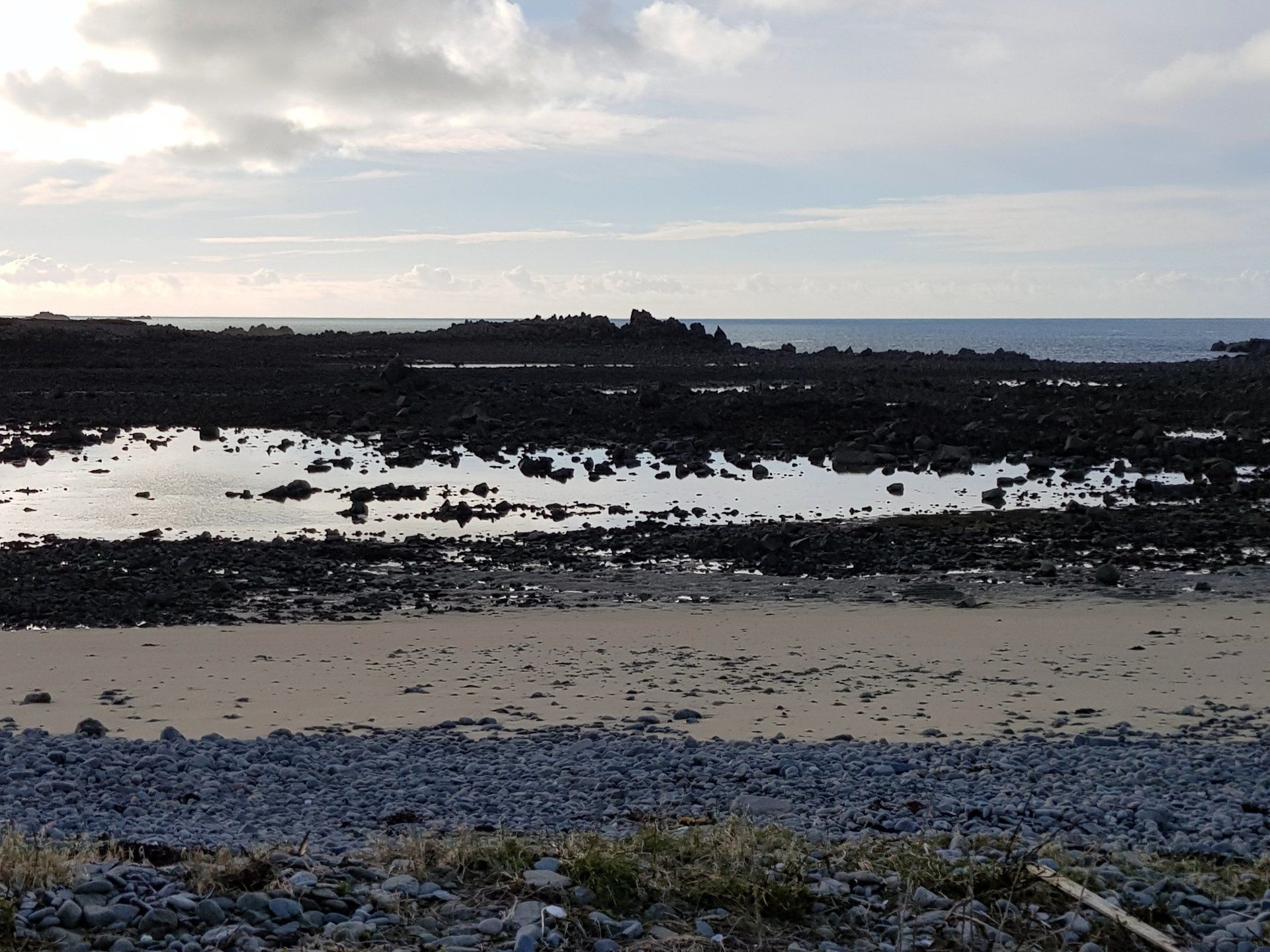
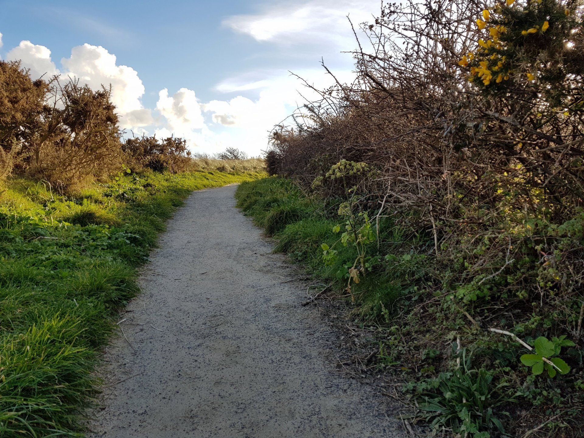
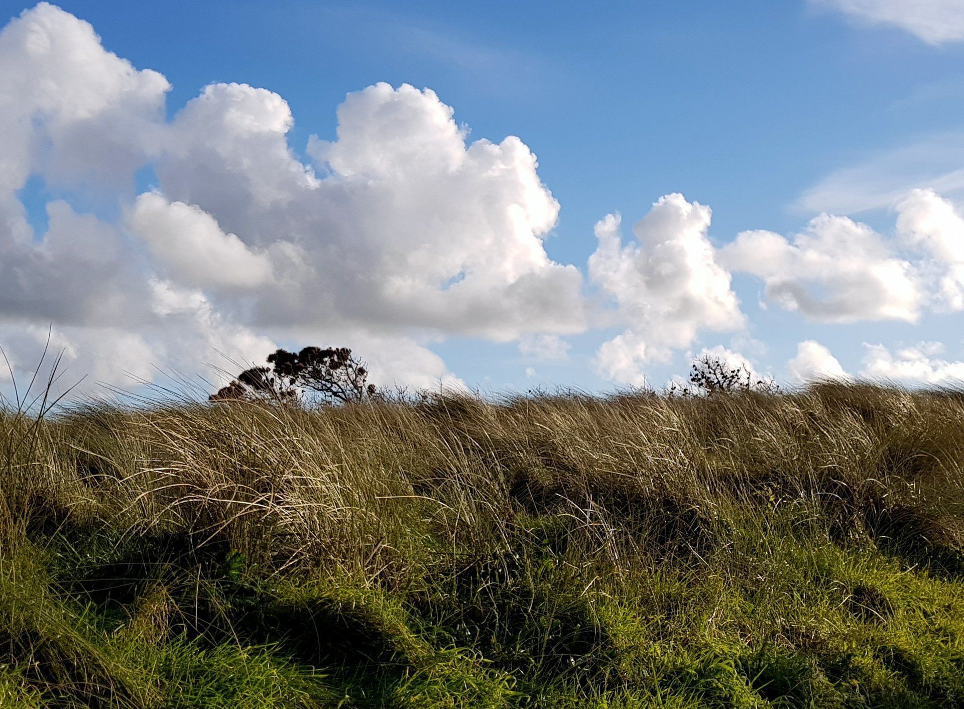
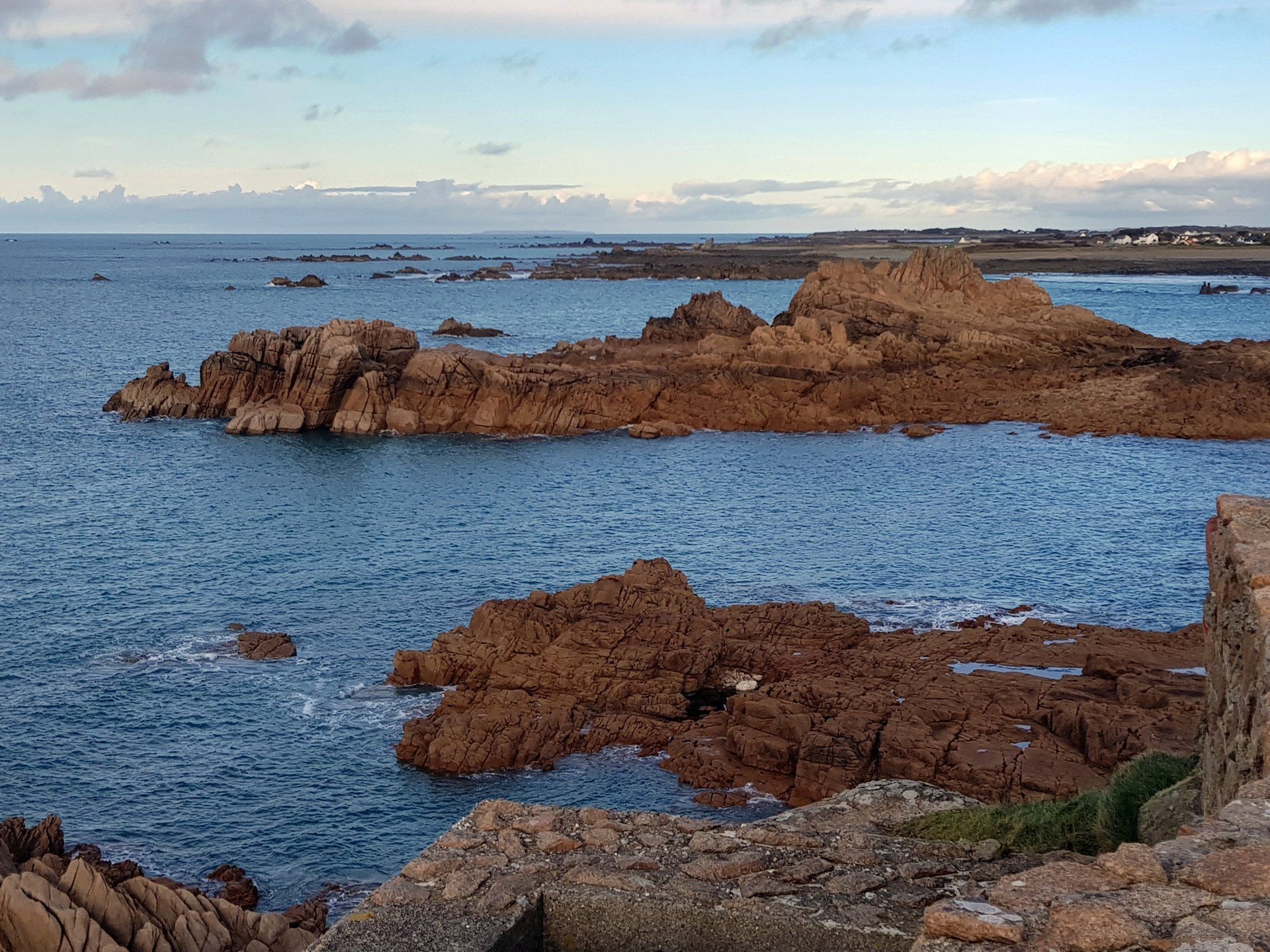
The first couple of miles walking are around the wilder headlands. No sandy beaches to see here, just rocks seaming in to the grass or pebbles thrust up on to the land, boulders and wild vegetation surrounding the path. The hardy grass is all at an angle having grown up with the wind. Be around here in a strong NE wind and that will toughen you up!
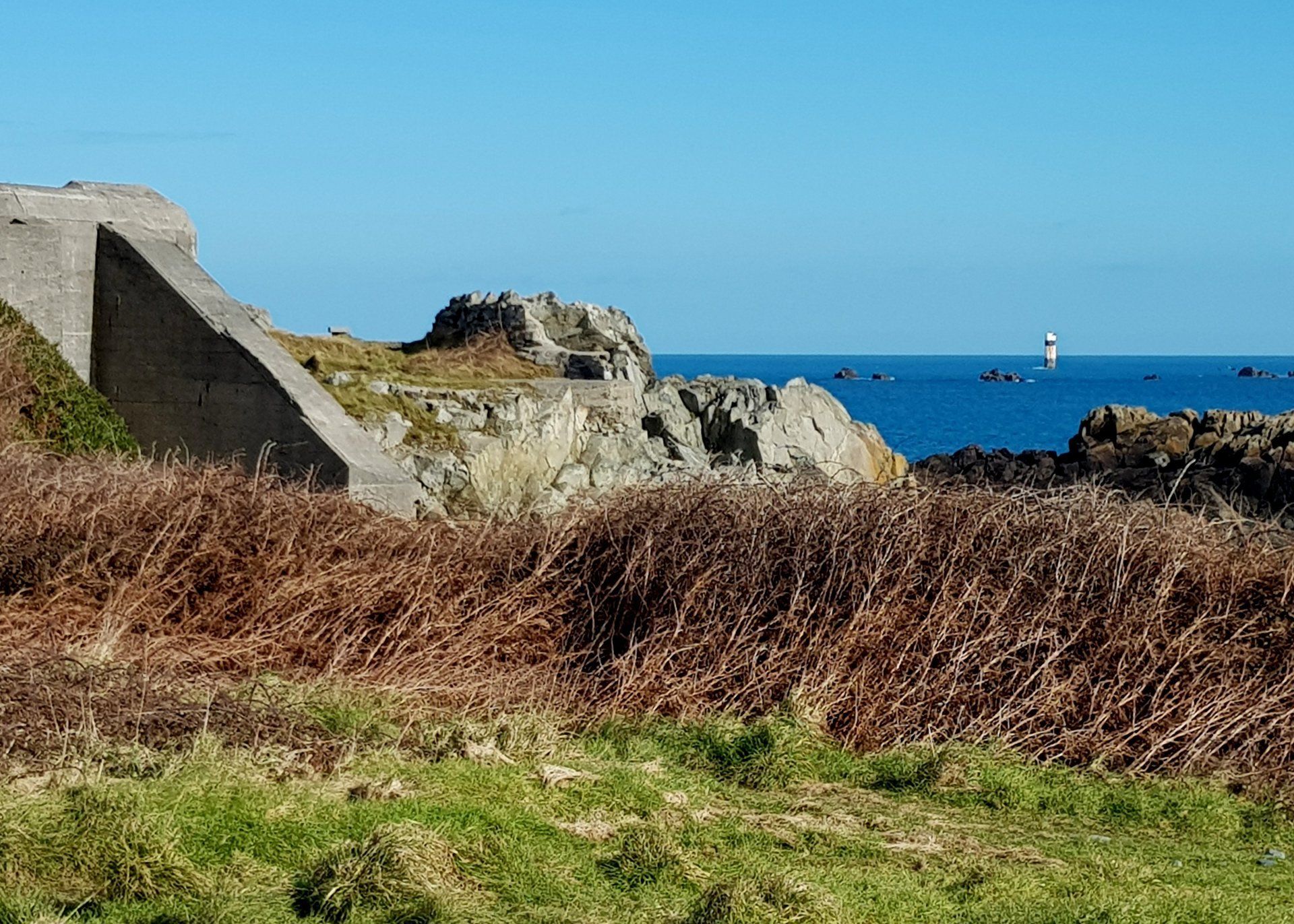
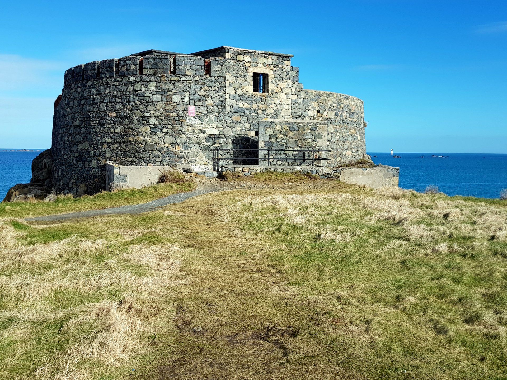
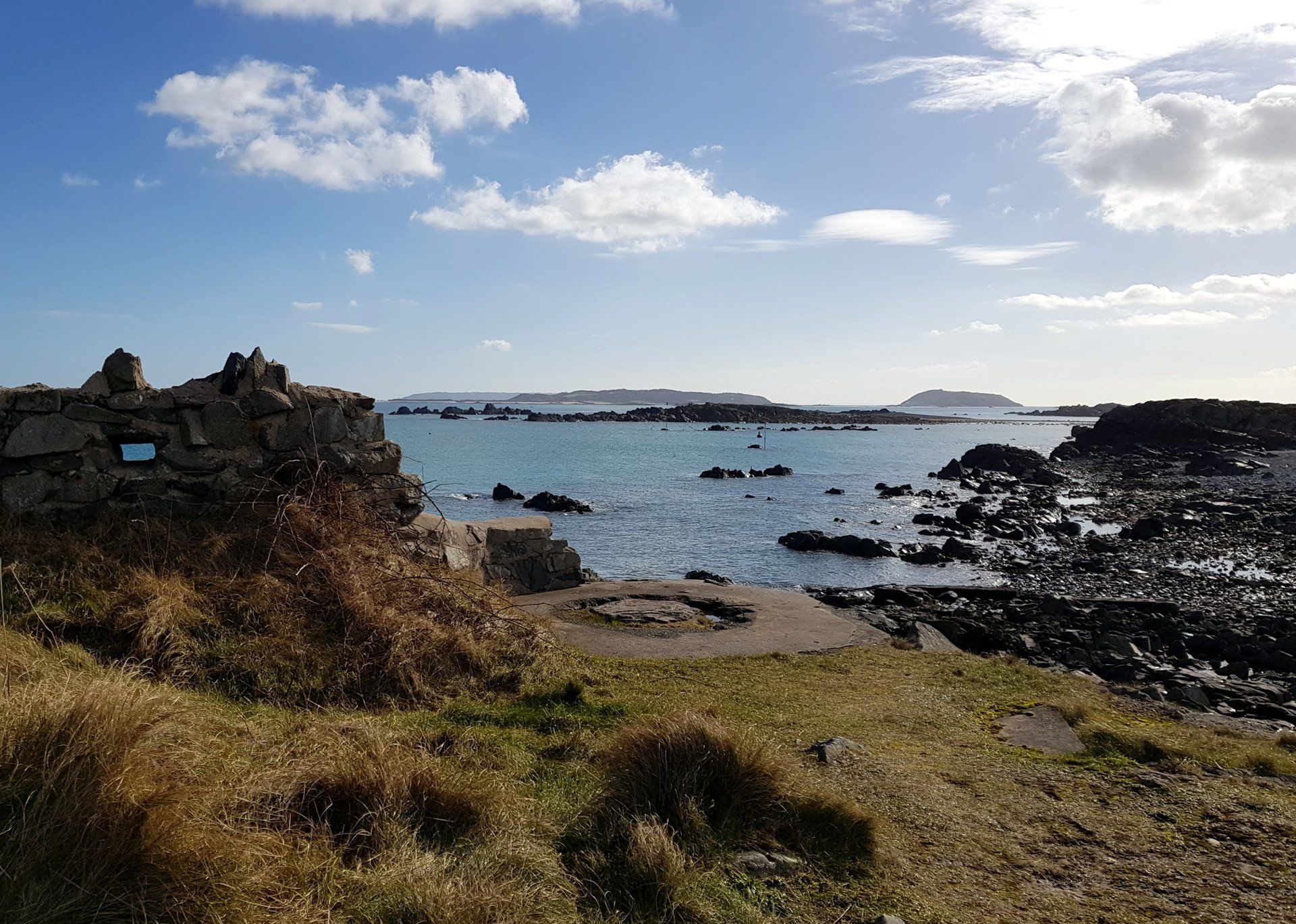
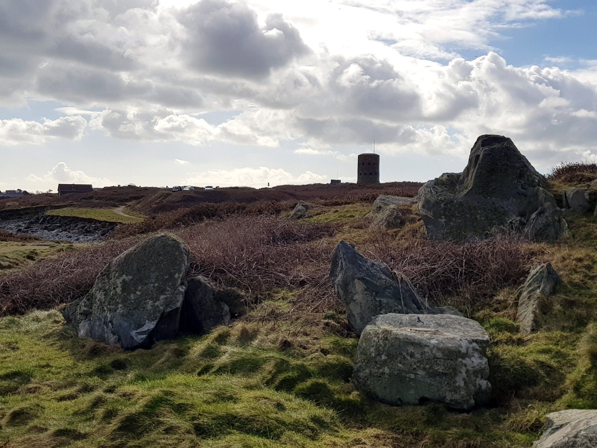
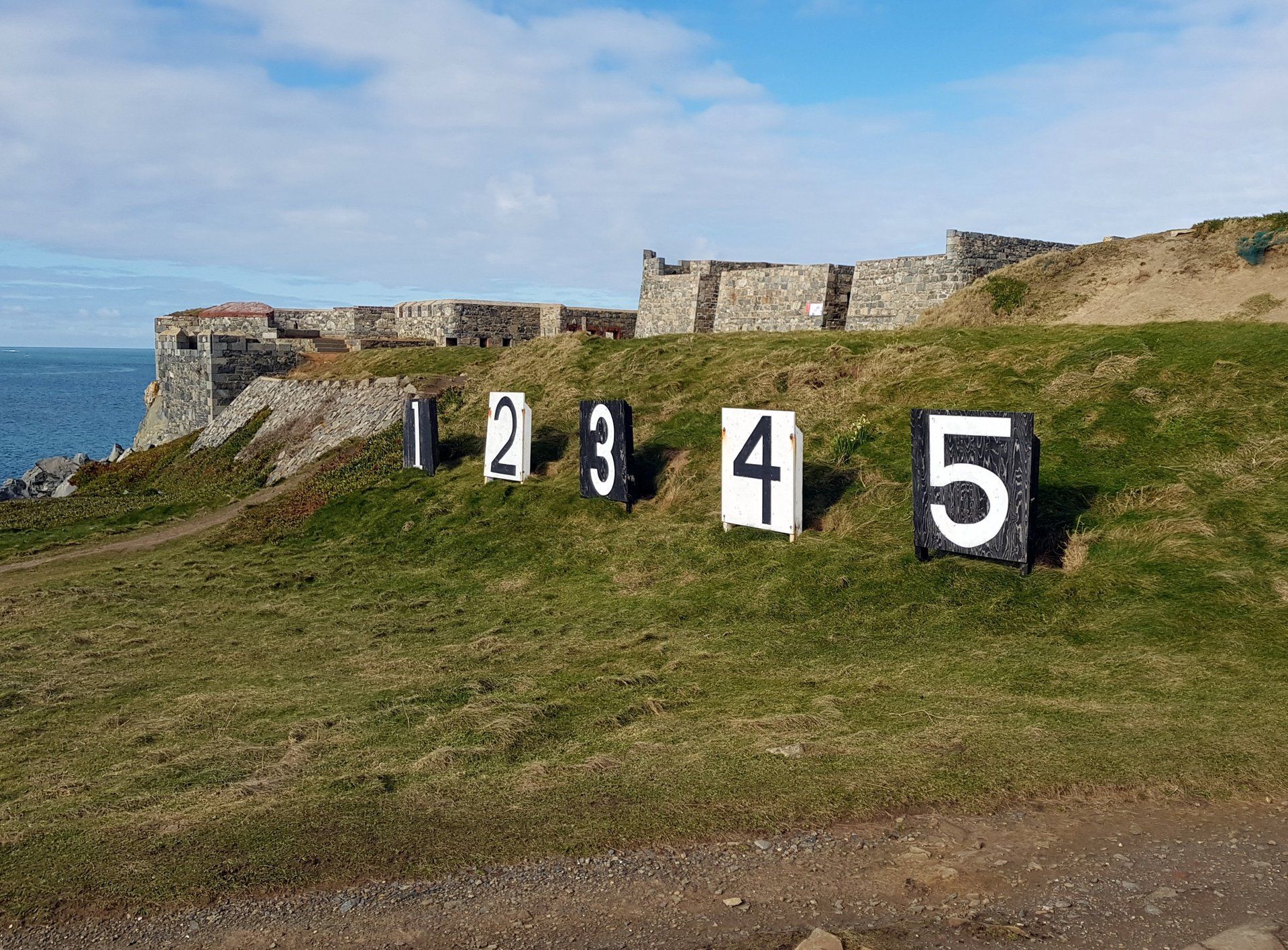
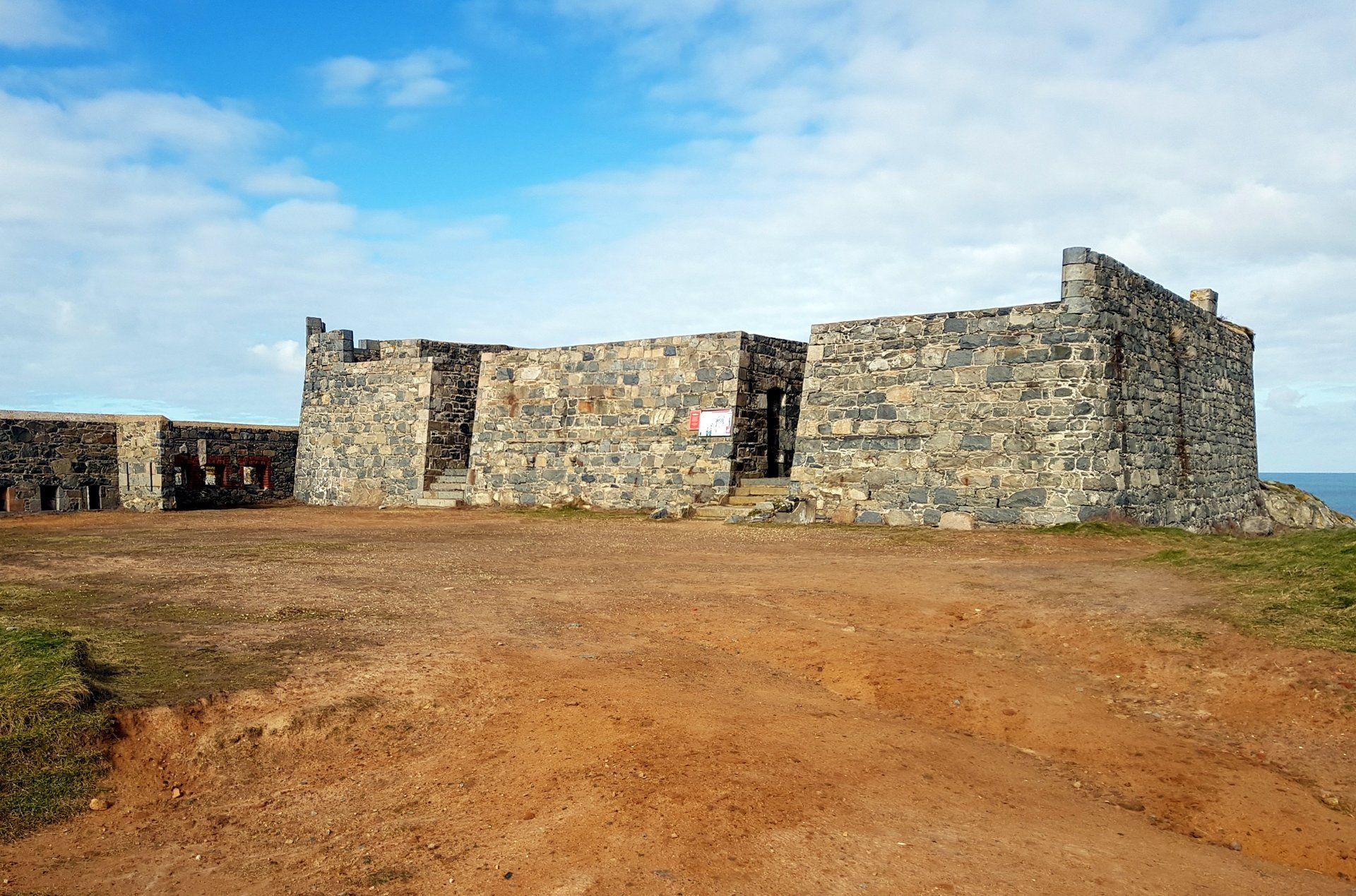
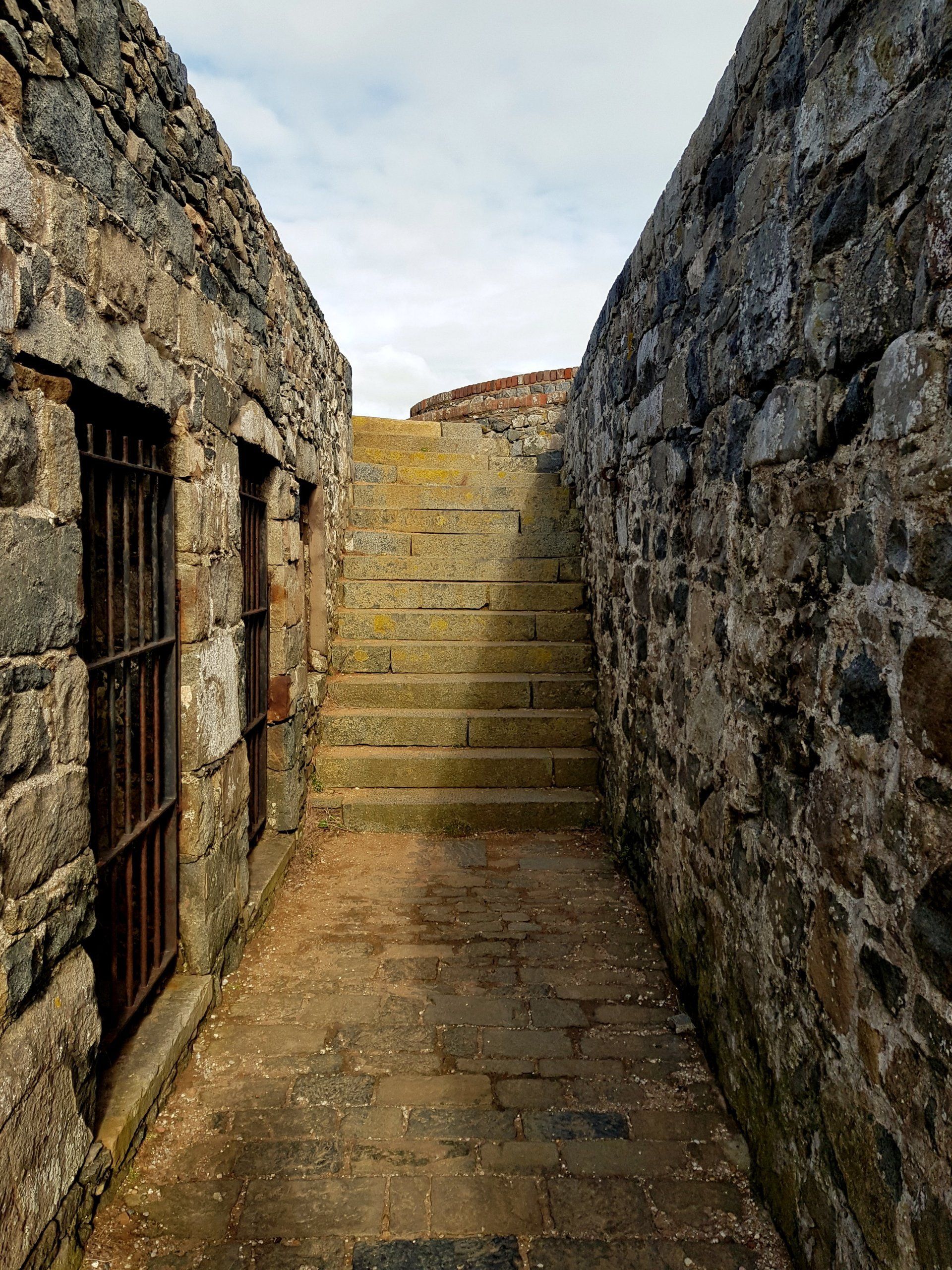
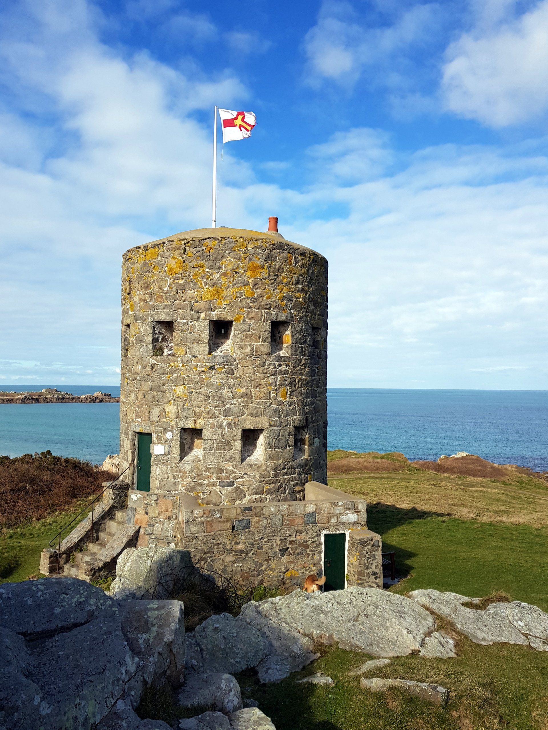
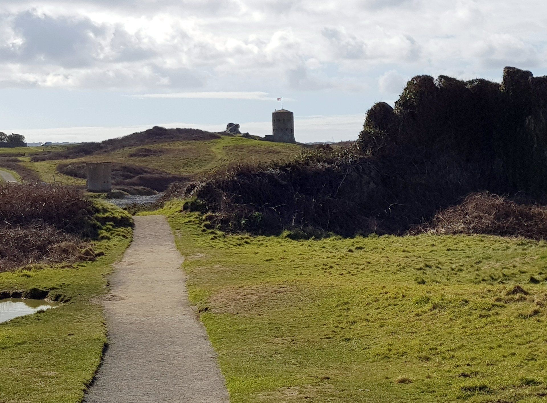
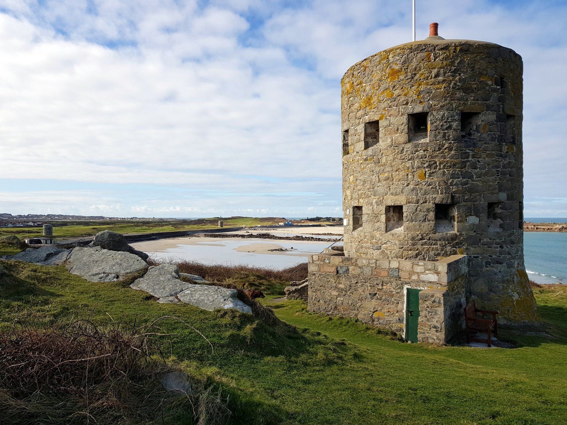
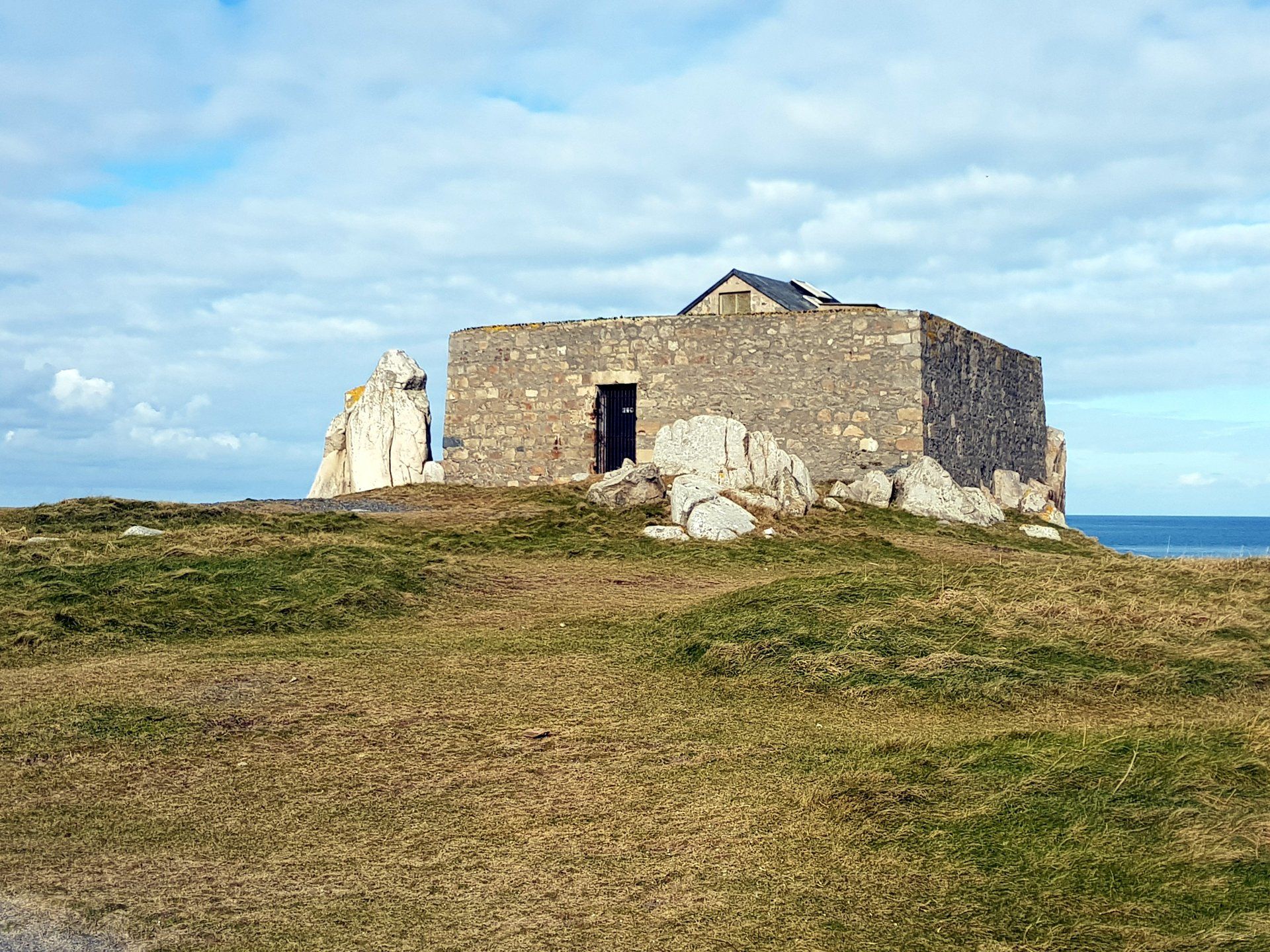
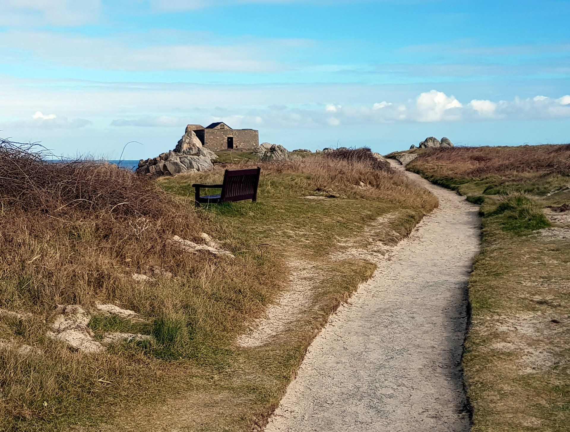
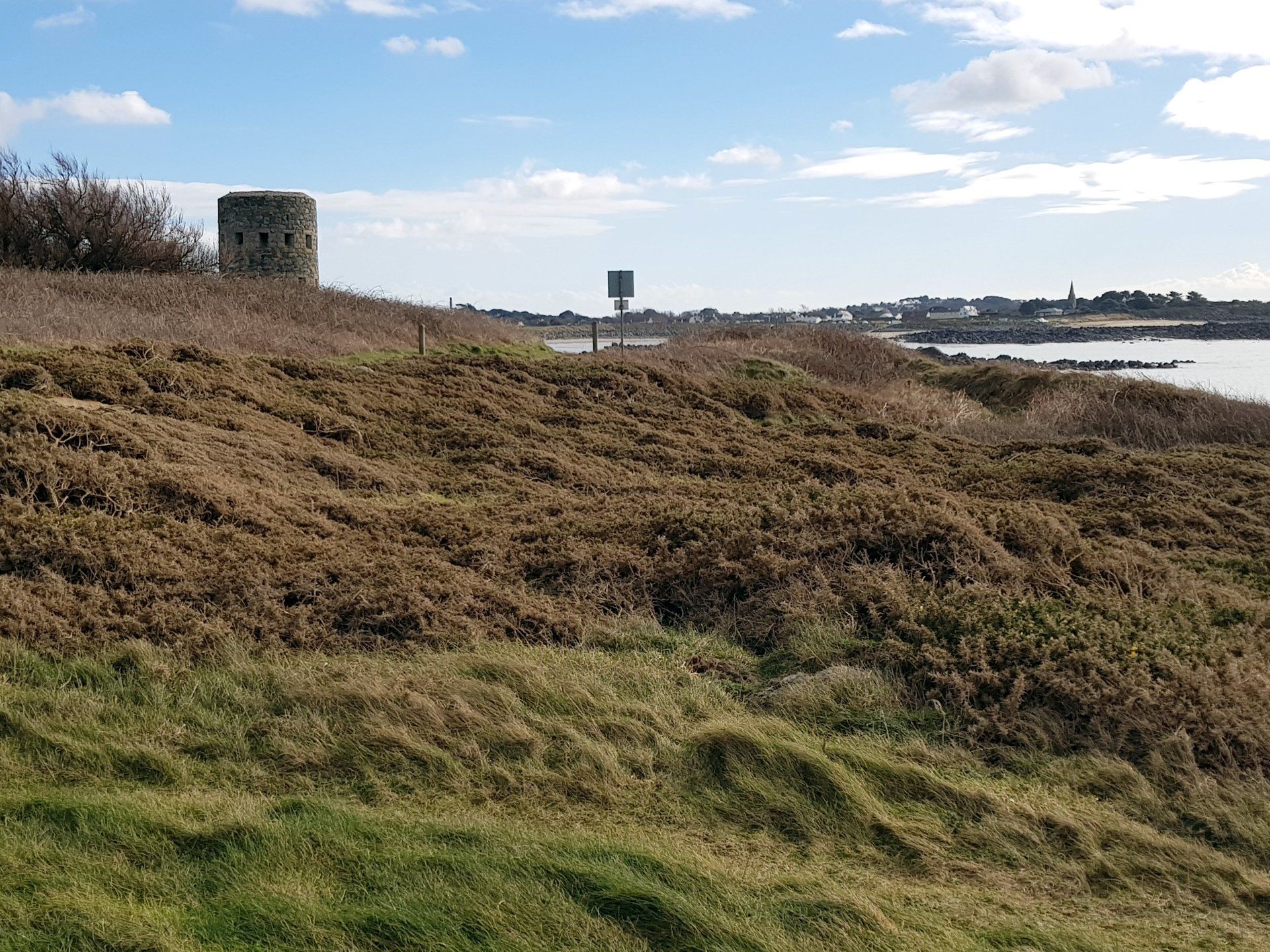
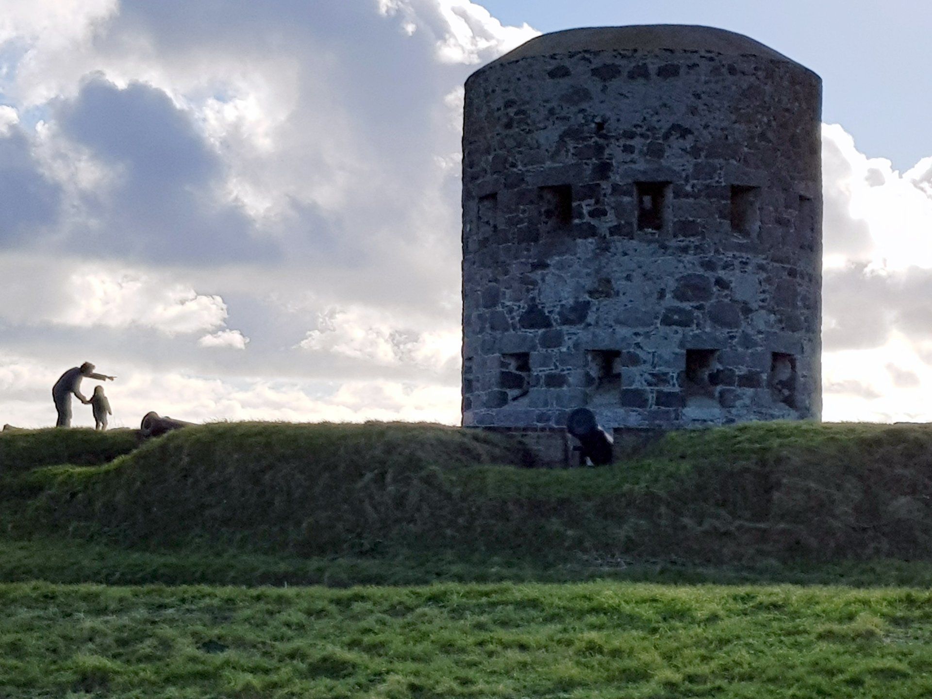
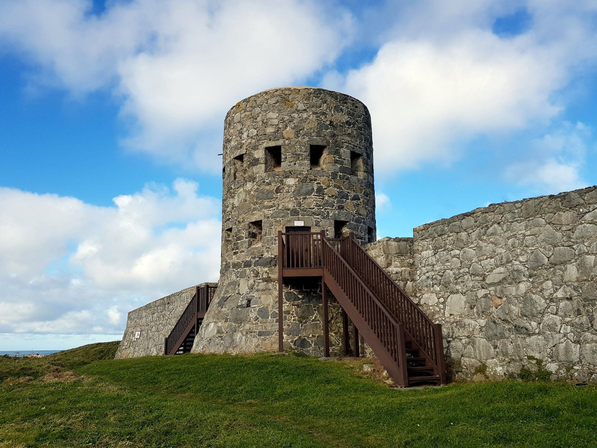
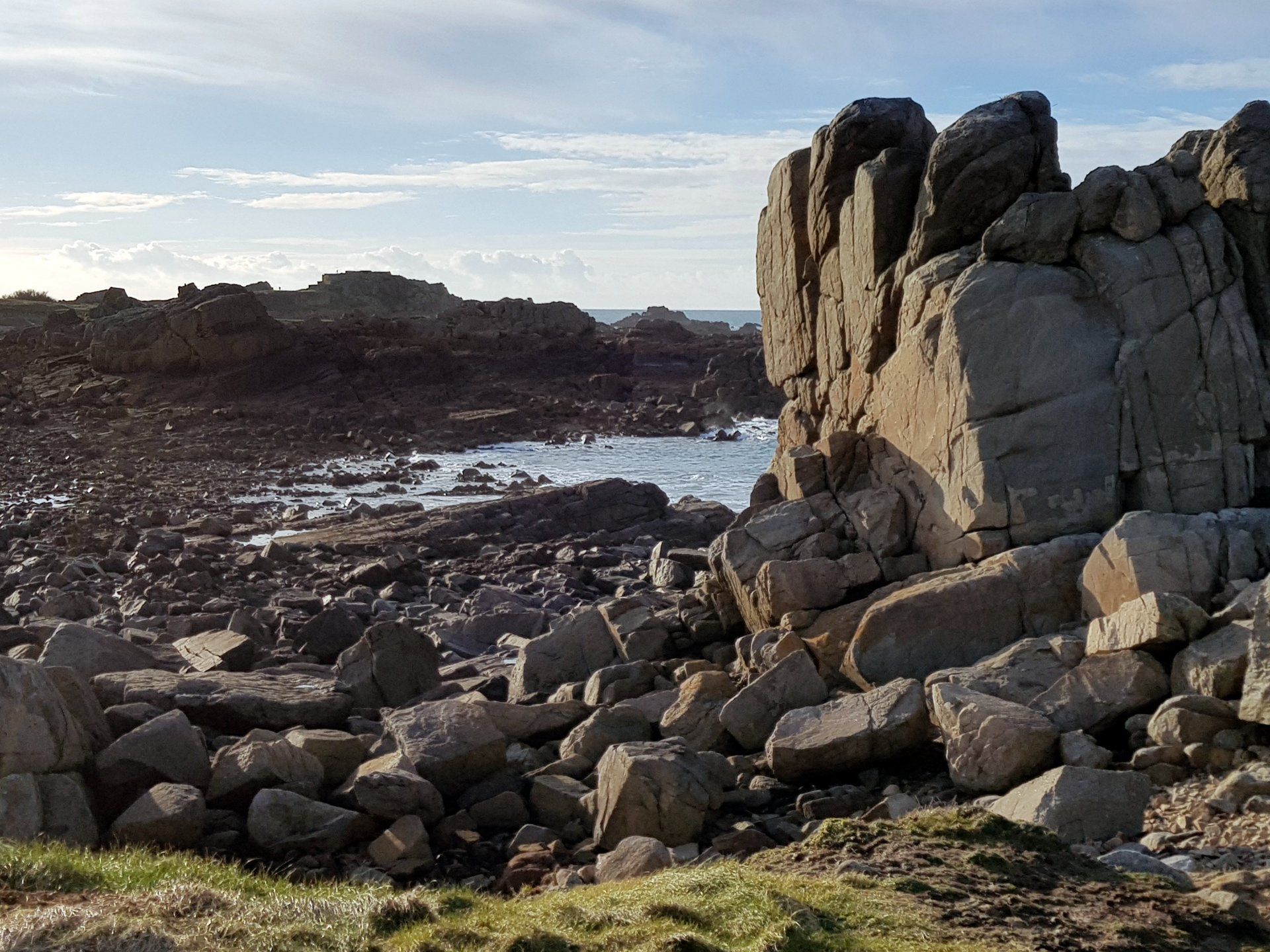
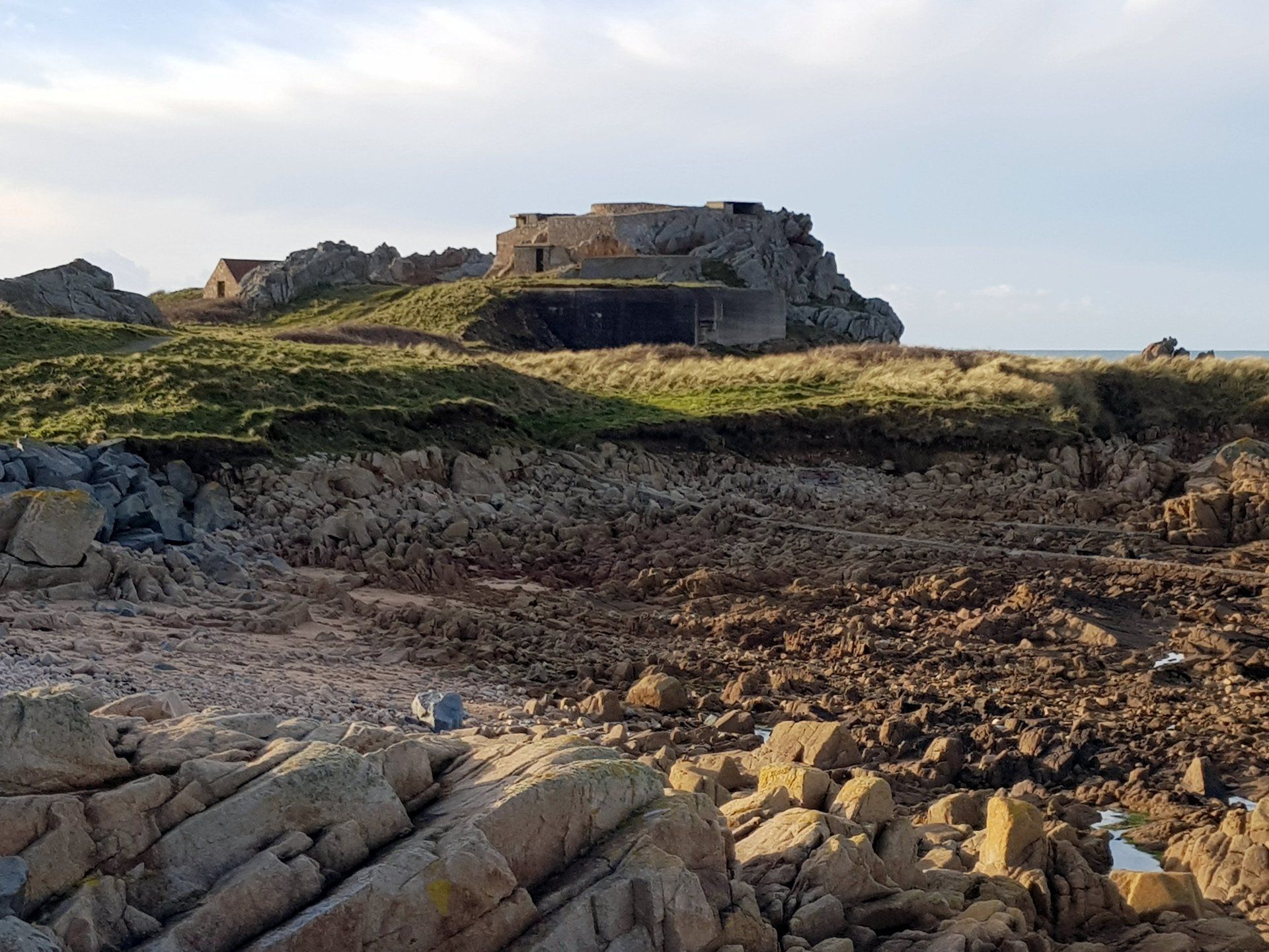
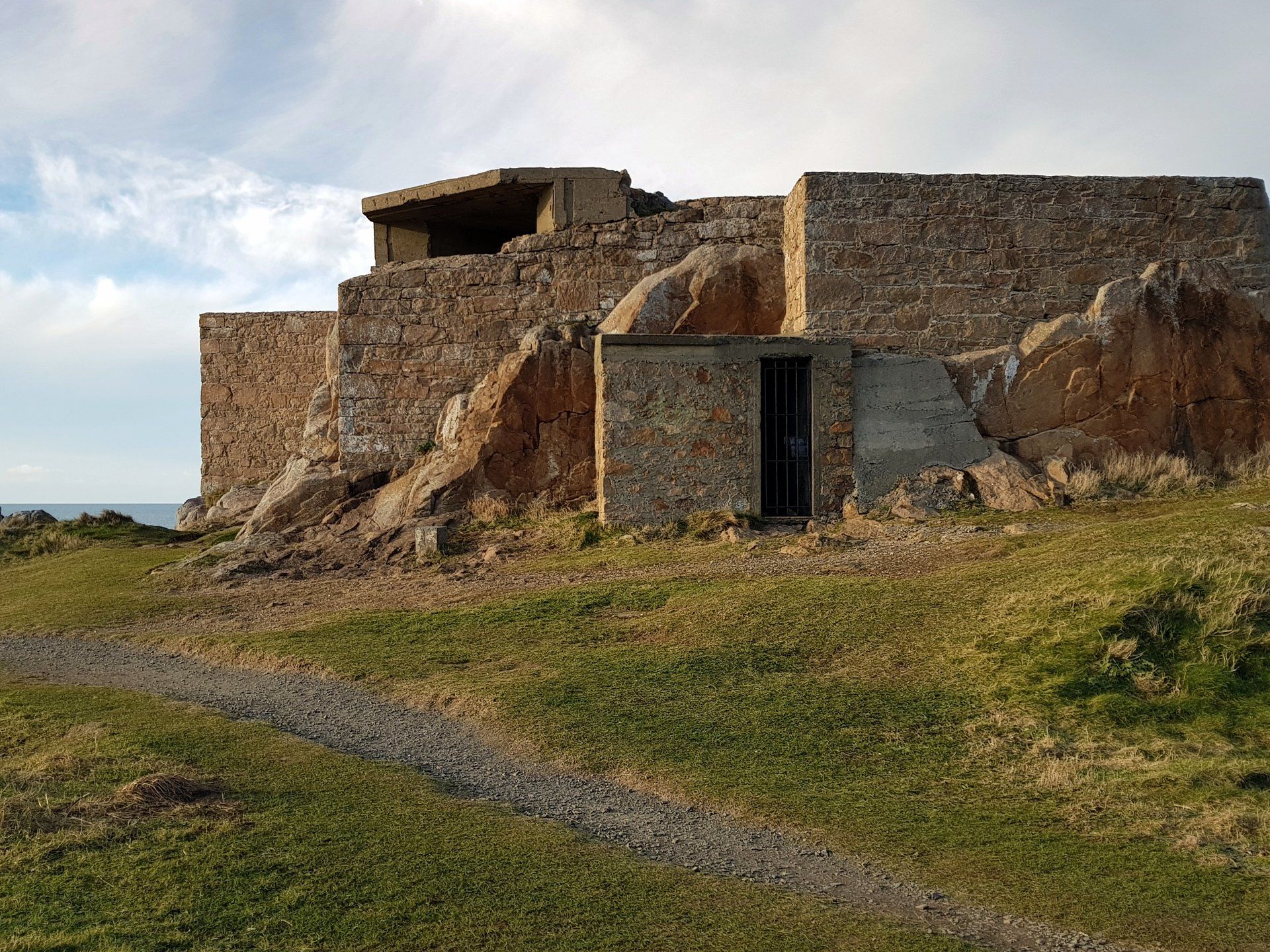
The route is interrupted by Fort Le Marchant, another defence raised from fears of French invasion, mainly in the early 1800’s, now home to the local shooting range. I have a mooch around and take in the views – just making out Alderney in the distance Back on track and the trail heads towards the more civilised Pembroke Bay, but before that I have a stroll up to Loophole Tower No. 5. There were originally 15 of the towers built in the late 1700’s as defence against the French, with 12 remaining to this day. They are an iconic sight in Guernsey (and Jersey, although slightly different in design). I passed the first surviving tower on my January walk (No. 3 at Mont Crevelt) but today I see a total of 7.
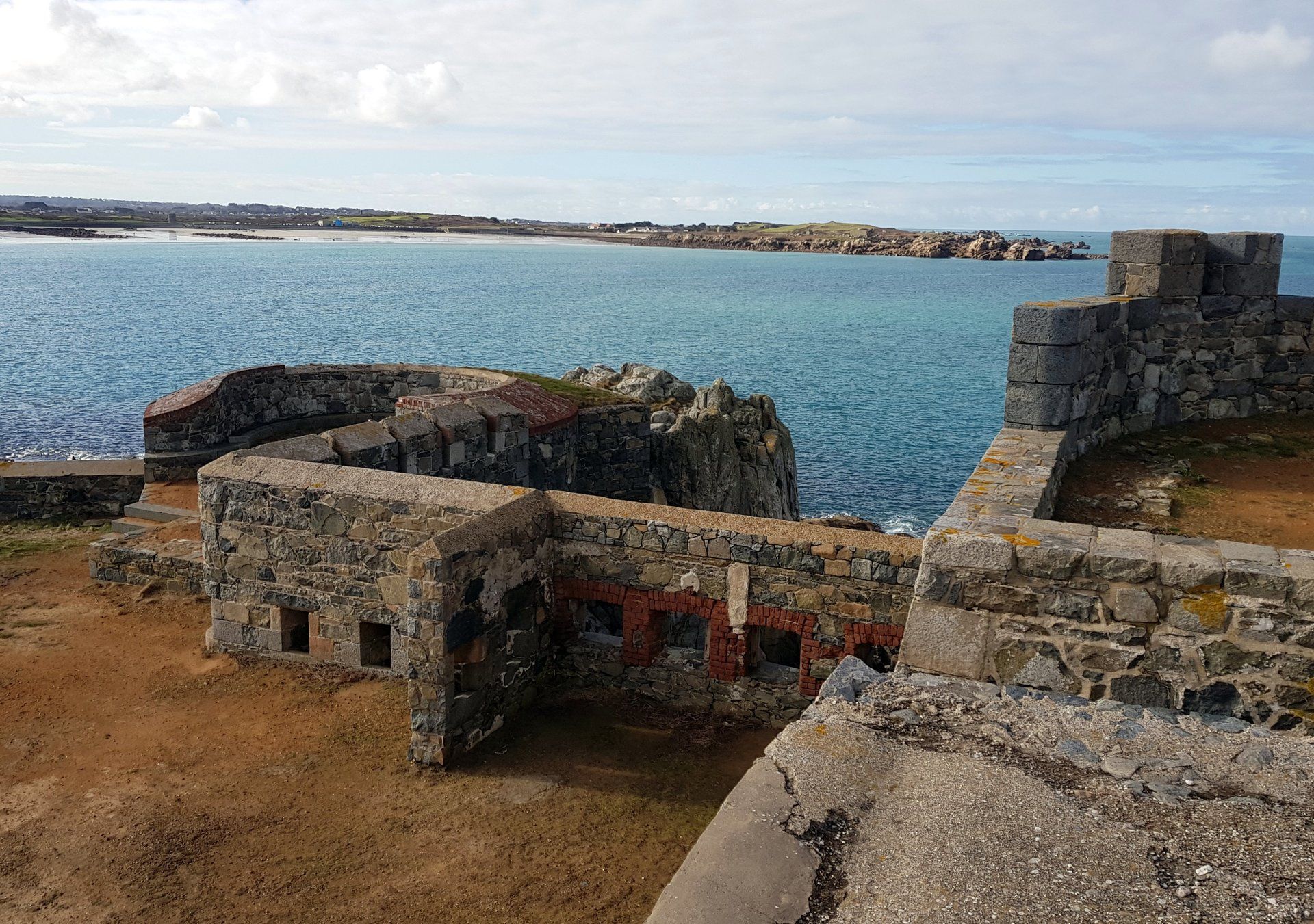
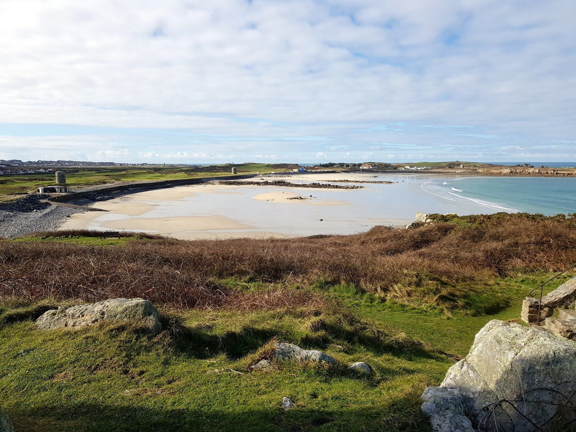
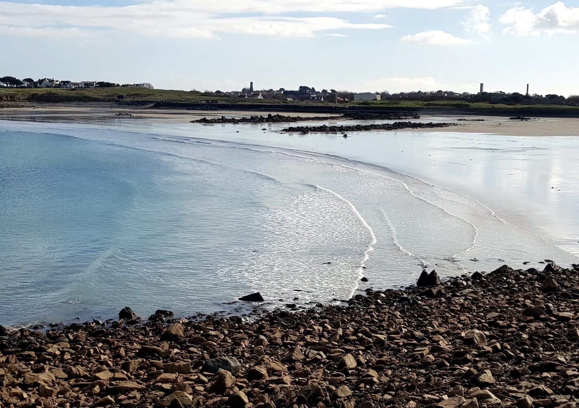
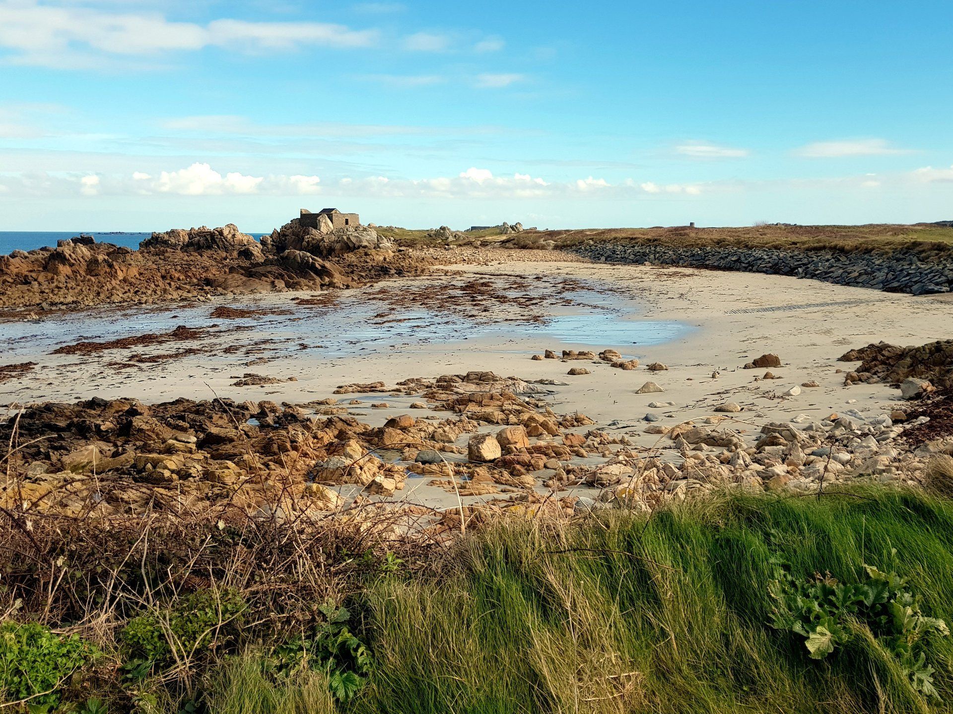
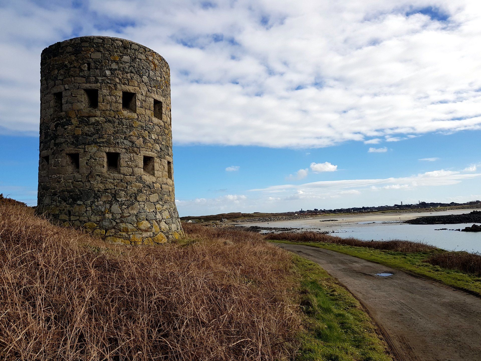
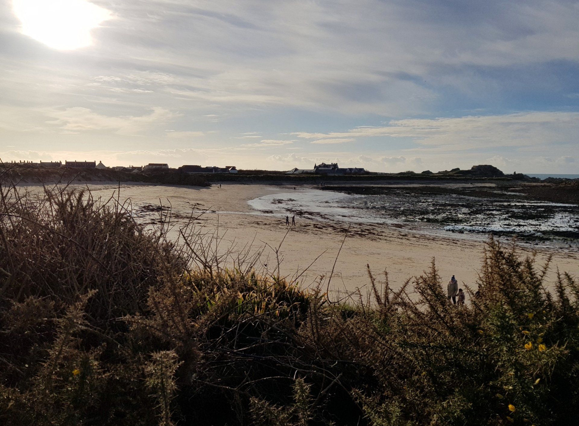
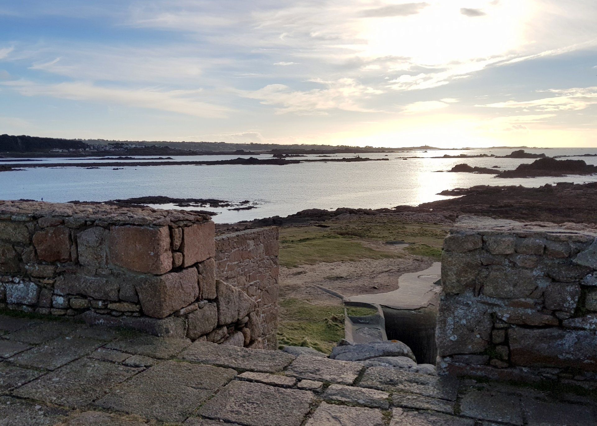
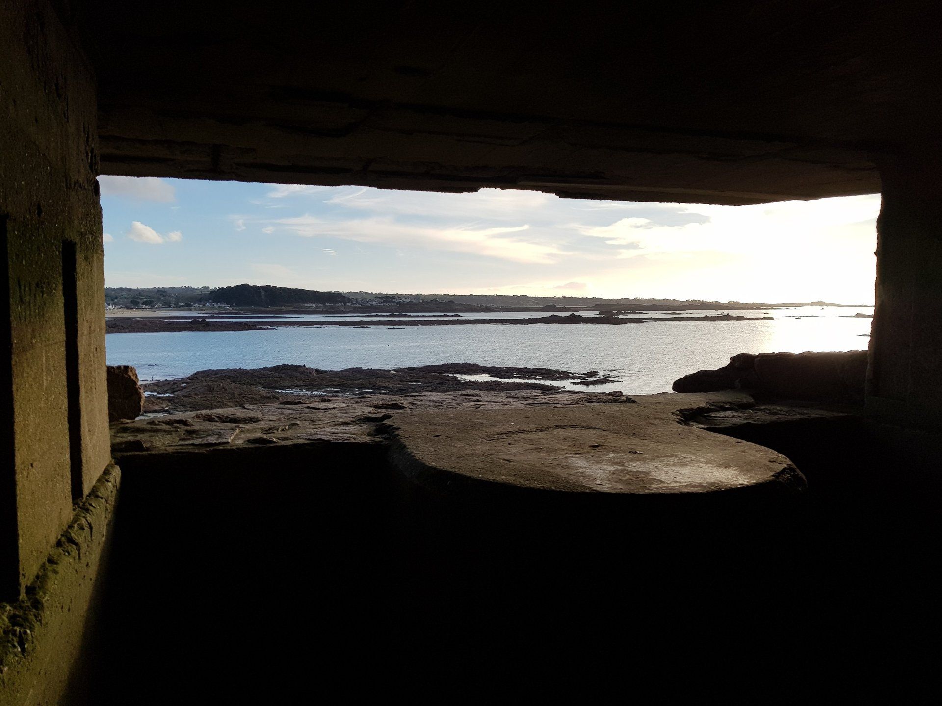
Loophole Tower No. 5 is a fine example and proudly flies the Guernsey flag, it’s slightly raised location offering a fine panoramic of Pembroke Bay. This is a bit of an aberration in these parts. Everything else is wild and exposed, left to its own devices, but Pembroke sits with a long expanse of sandy beach and is a popular destination Whilst the older set of fortification on the Island date back to the late 18th/early 19th century, the 21st century introduced a new set of imposing structures, those built by the occupying German forces during WWII. Pembroke has a German defence structure that to this day holds back an attacking force – the sea! Unfortunately, this old sea wall is crumbling and major debate rages on how to move forward.
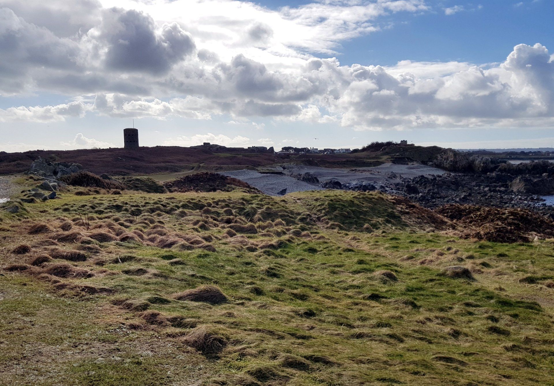
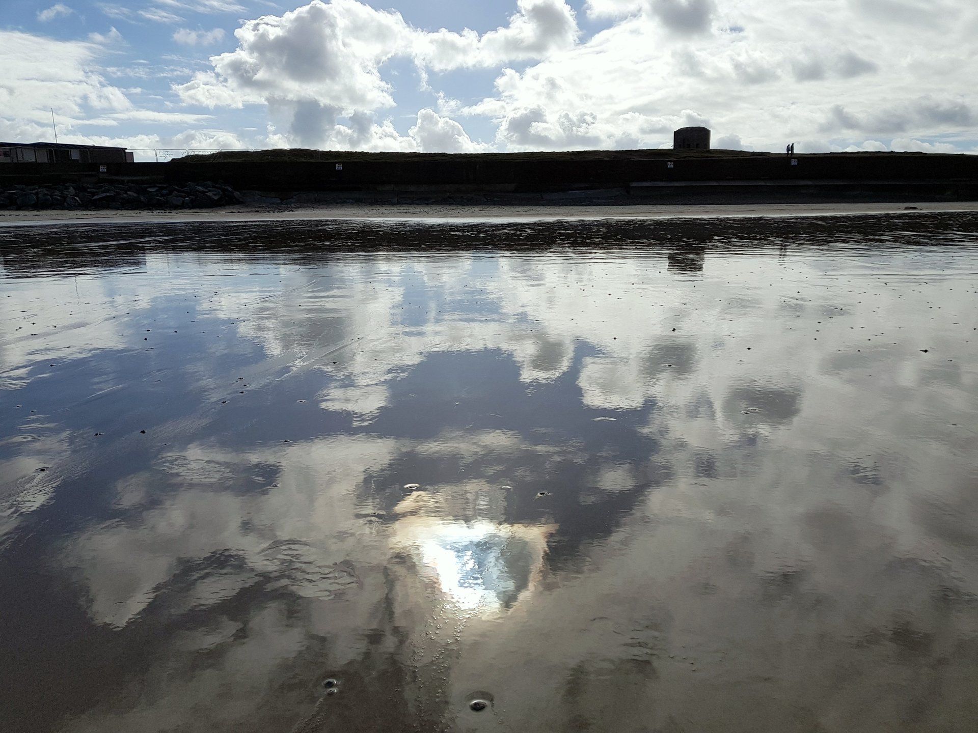
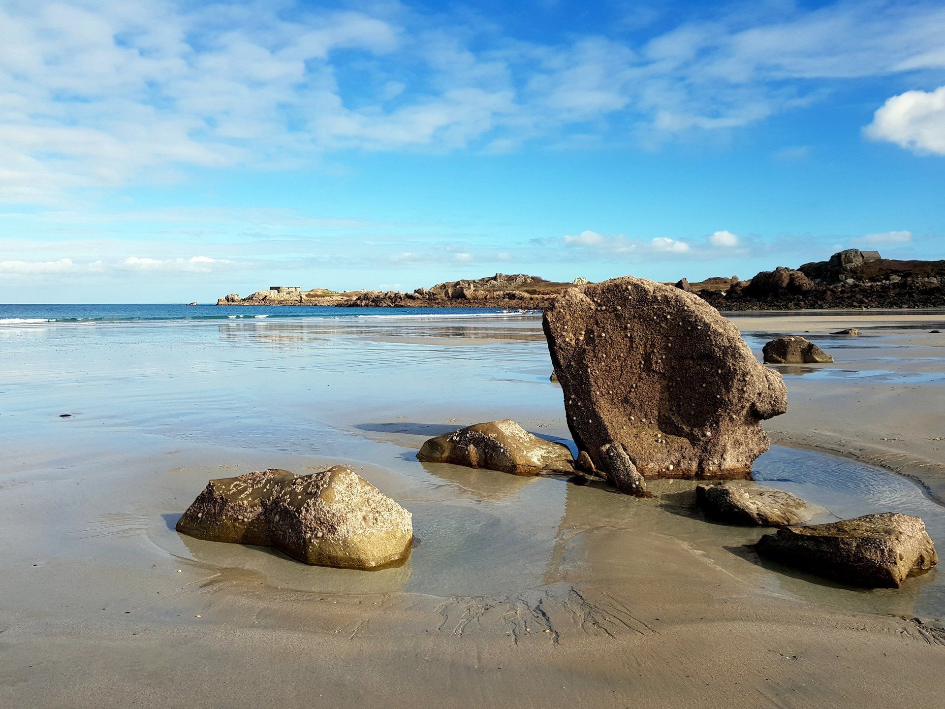
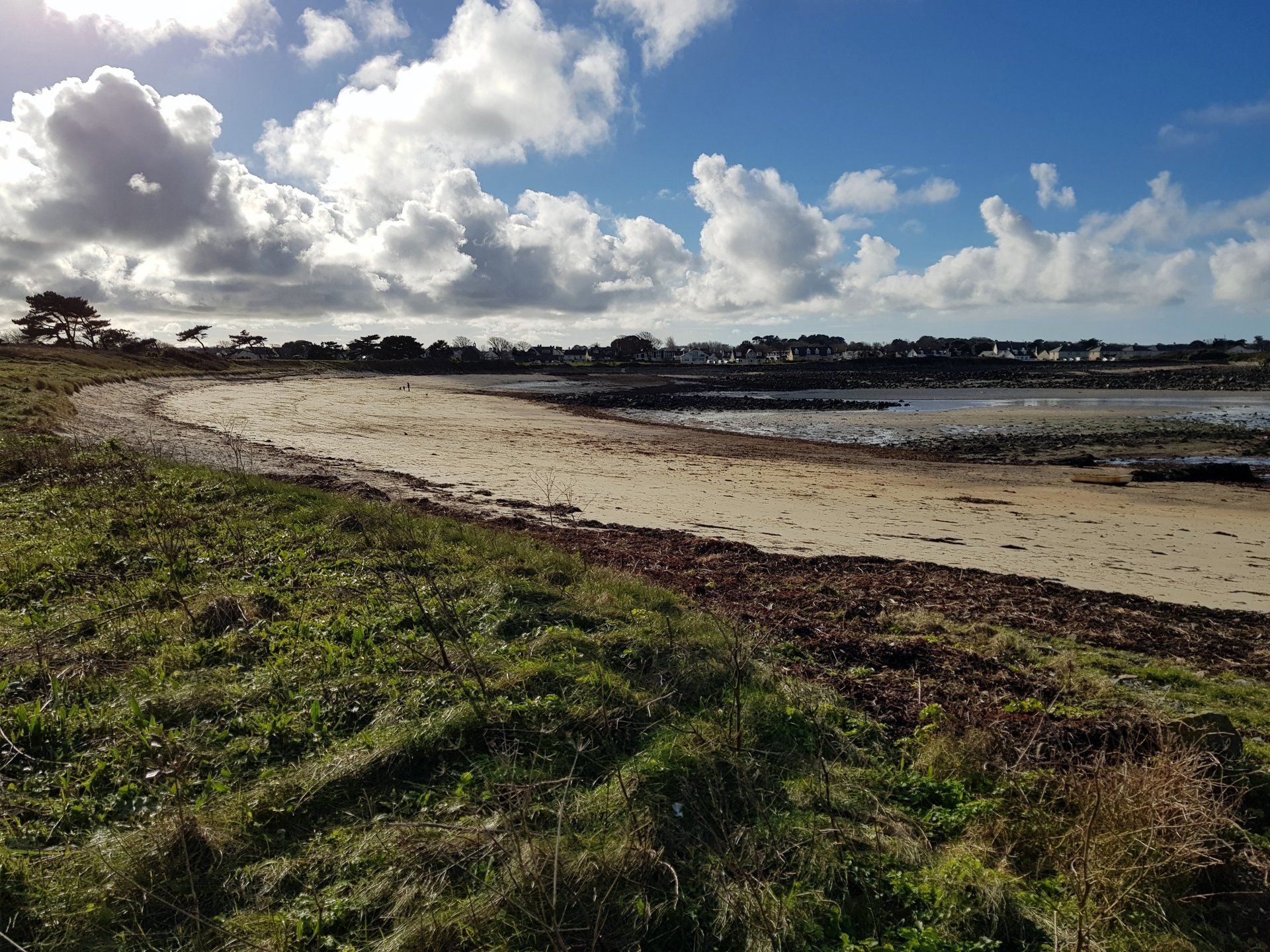
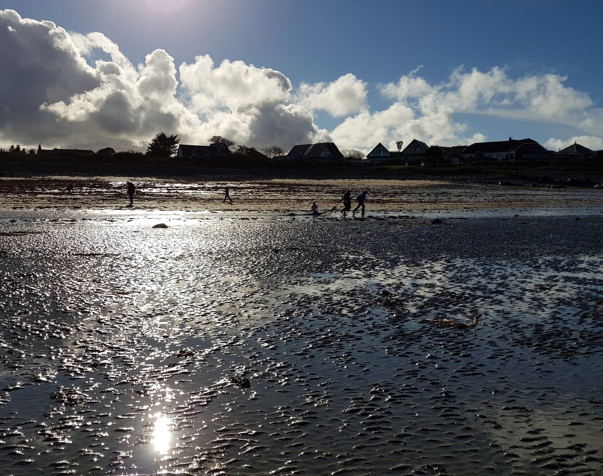
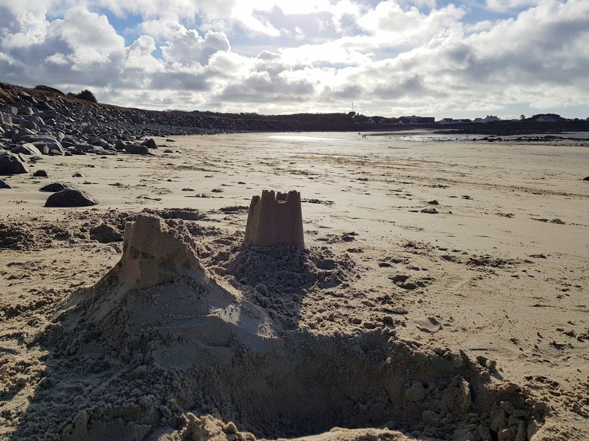
I pass through the wall and go down on to the sand and cut across the bay. The retreating sea has left the sand glistening in the sun and throws up interesting reflections. No doubt a good photographer could make something of this – my efforts fail to impress! Back on the path I return to the wilder side, then moving swiftly past the very un-scenic, but thankfully soon to close landfill site, I round Chouet headland and start a new variant of the walk – the more sheltered bays that are actively in use.
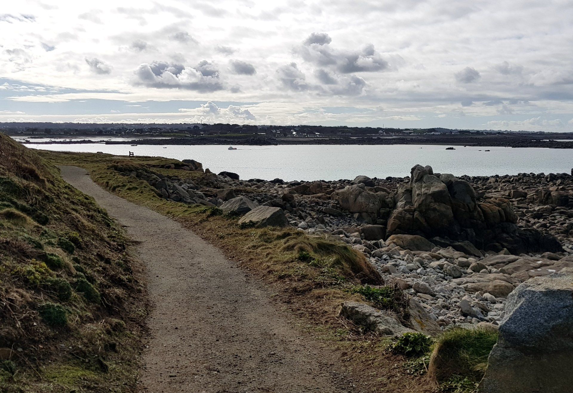
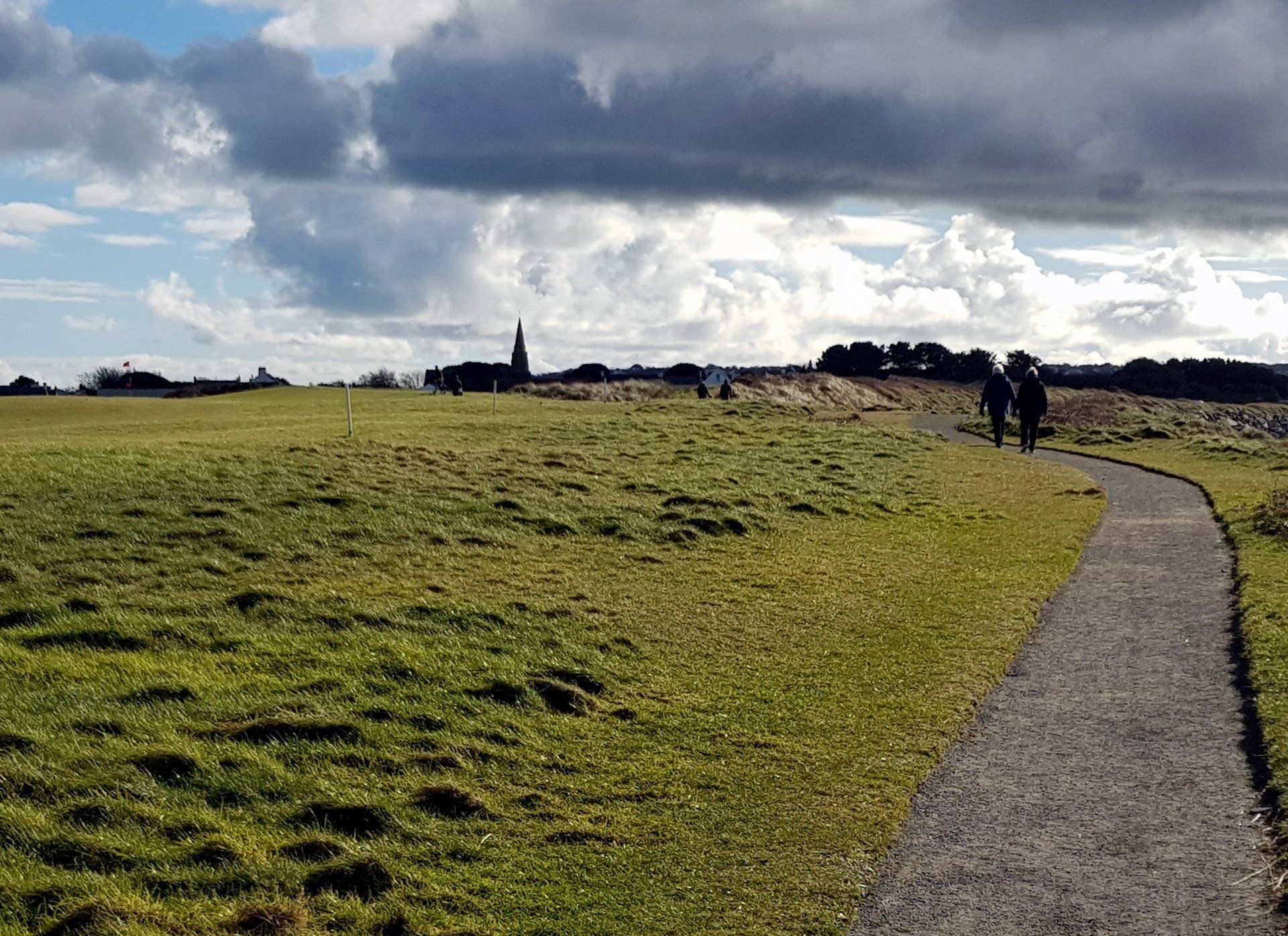
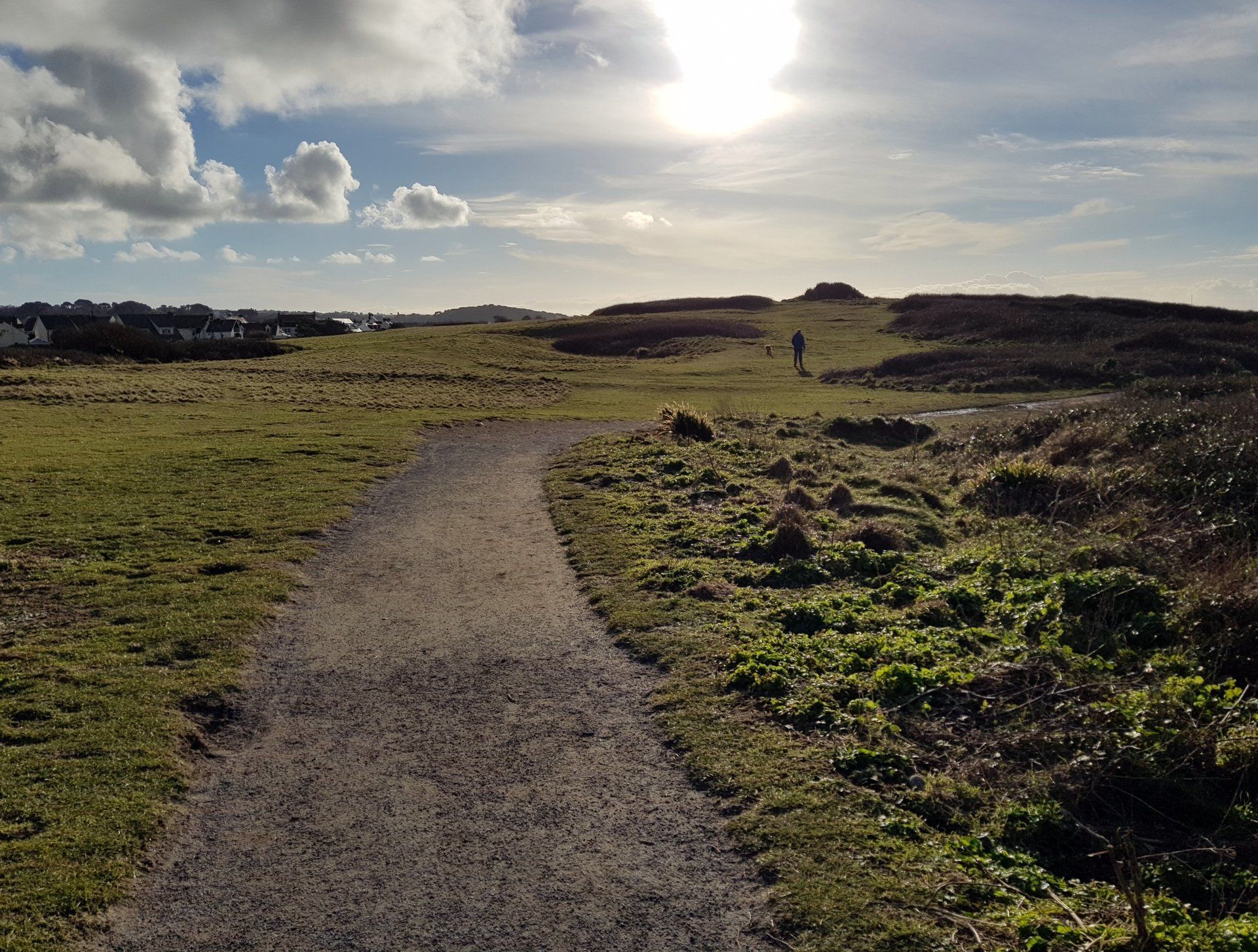
But at this halfway point of my walk, I temporarily stop as I am meeting the family for lunch at a favourite restaurant. An enjoyable hour or so later, and suitably refuelled and refreshed, I step back out on to the path and pass alongside L’Ancresse golf links though to Les Amarreurs which makes up the top side of the greater Grand Havre Bay, a coastal inlet that forms a natural harbour I grew up in this area so the next couple of miles are home territory for me – I spent my summers on these beaches as a kid so a few memories! Jumping off Les Amarreurs and Grand Havre piers, snorkling, boating, simply clambering about.
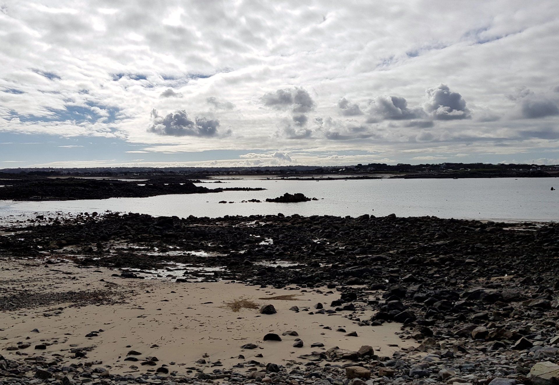
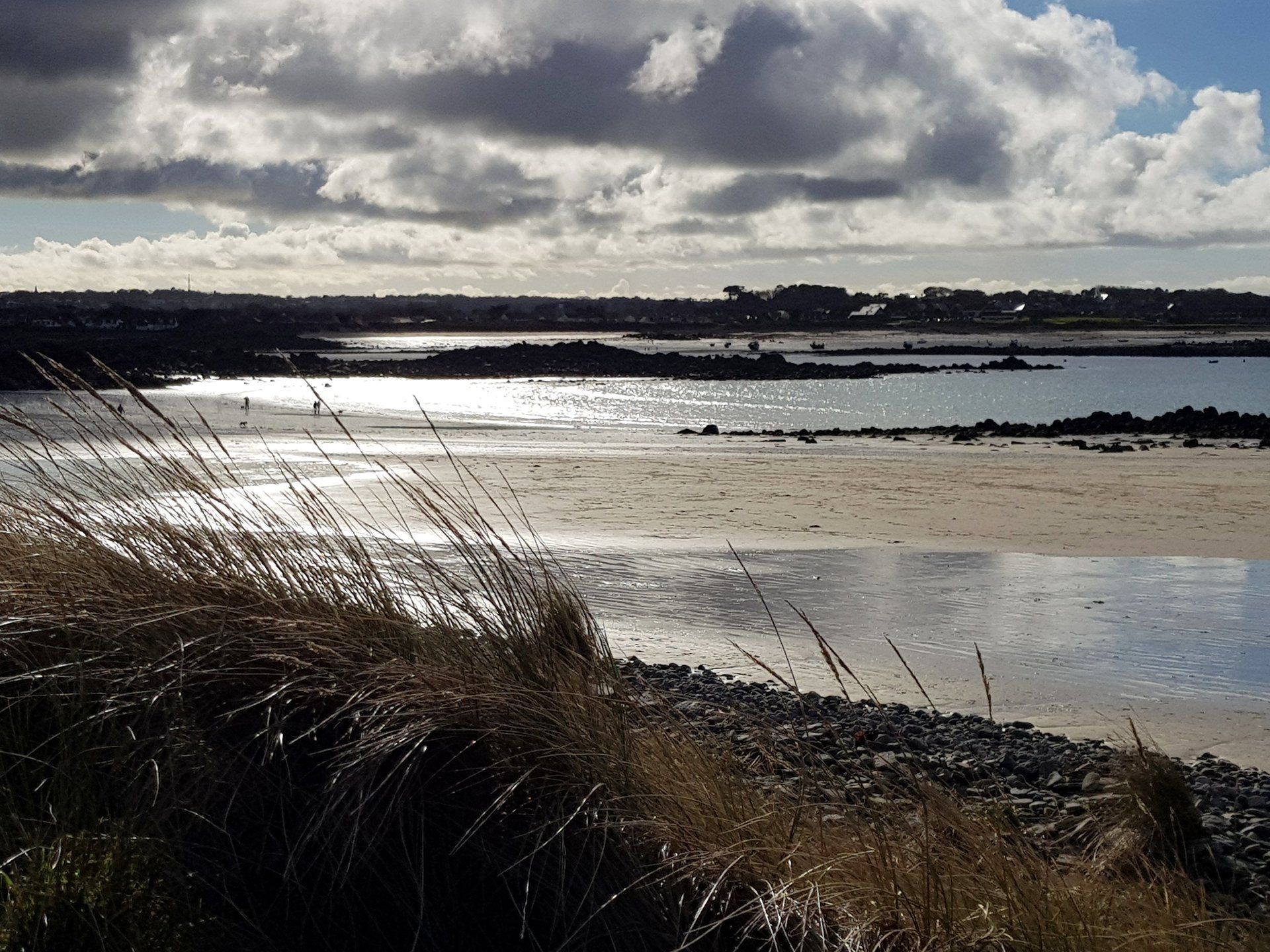
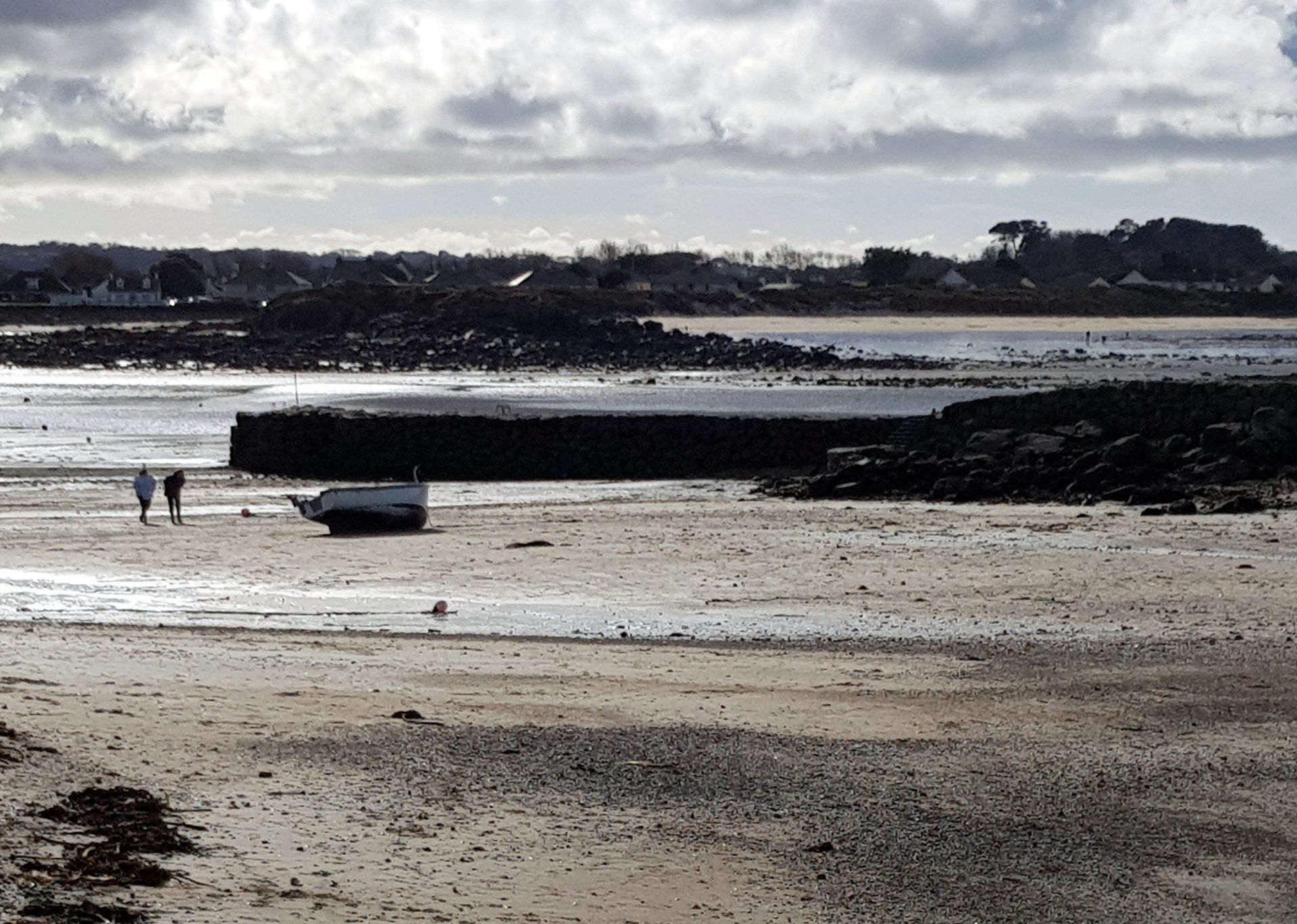
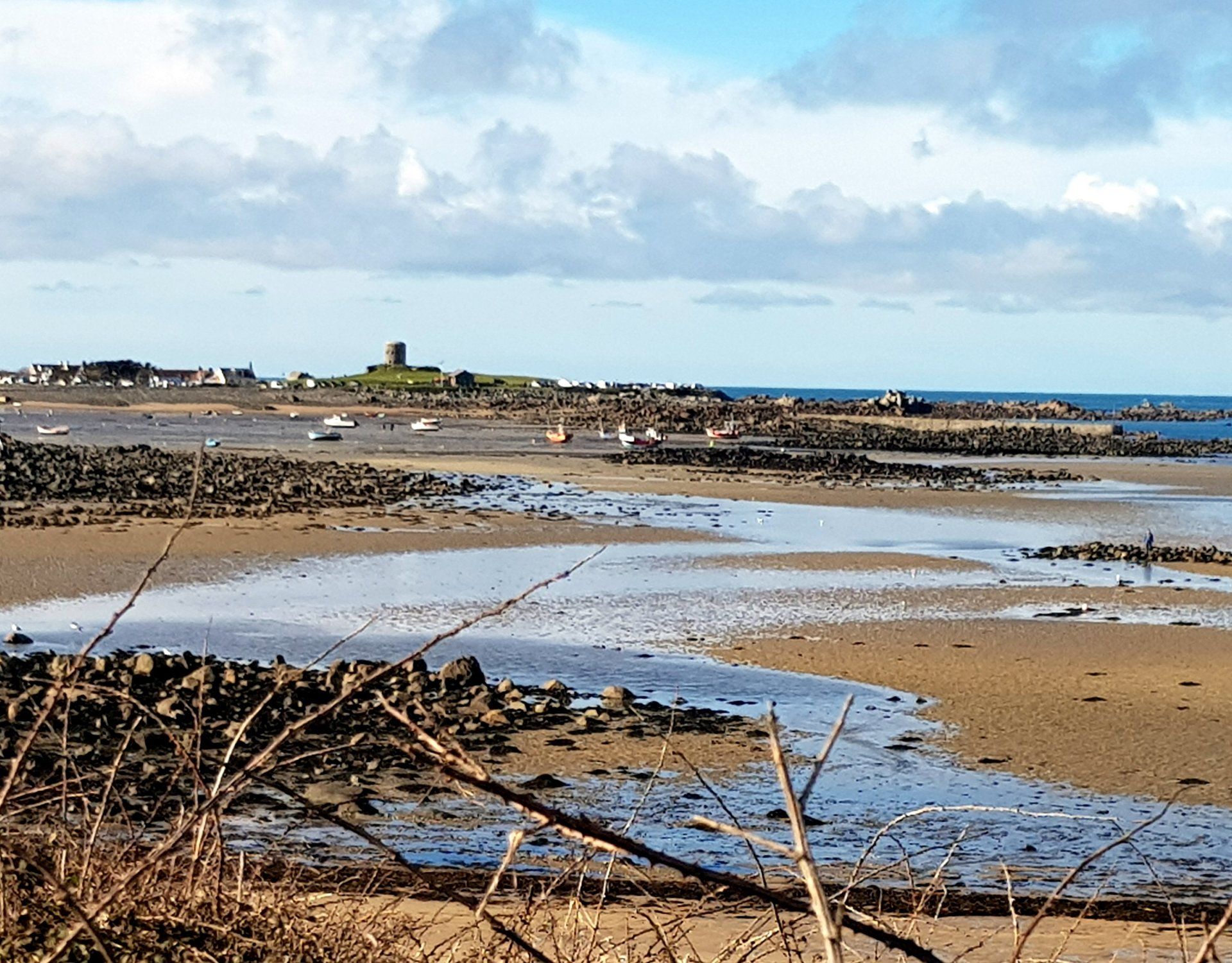
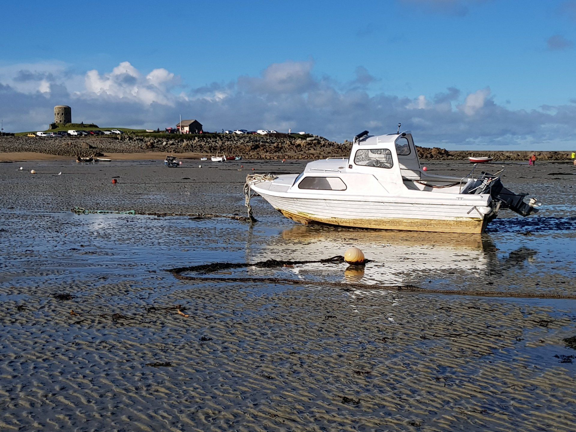
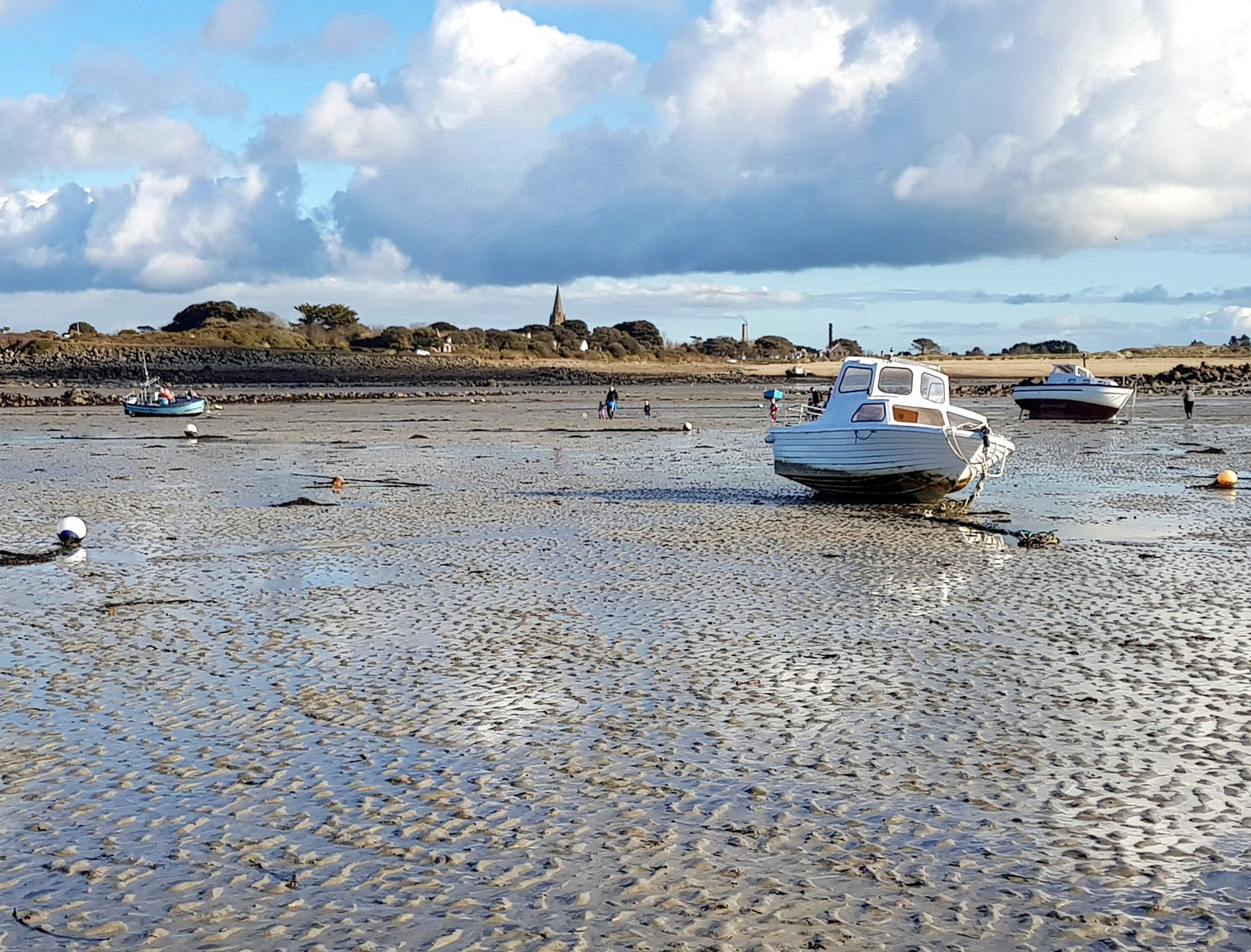
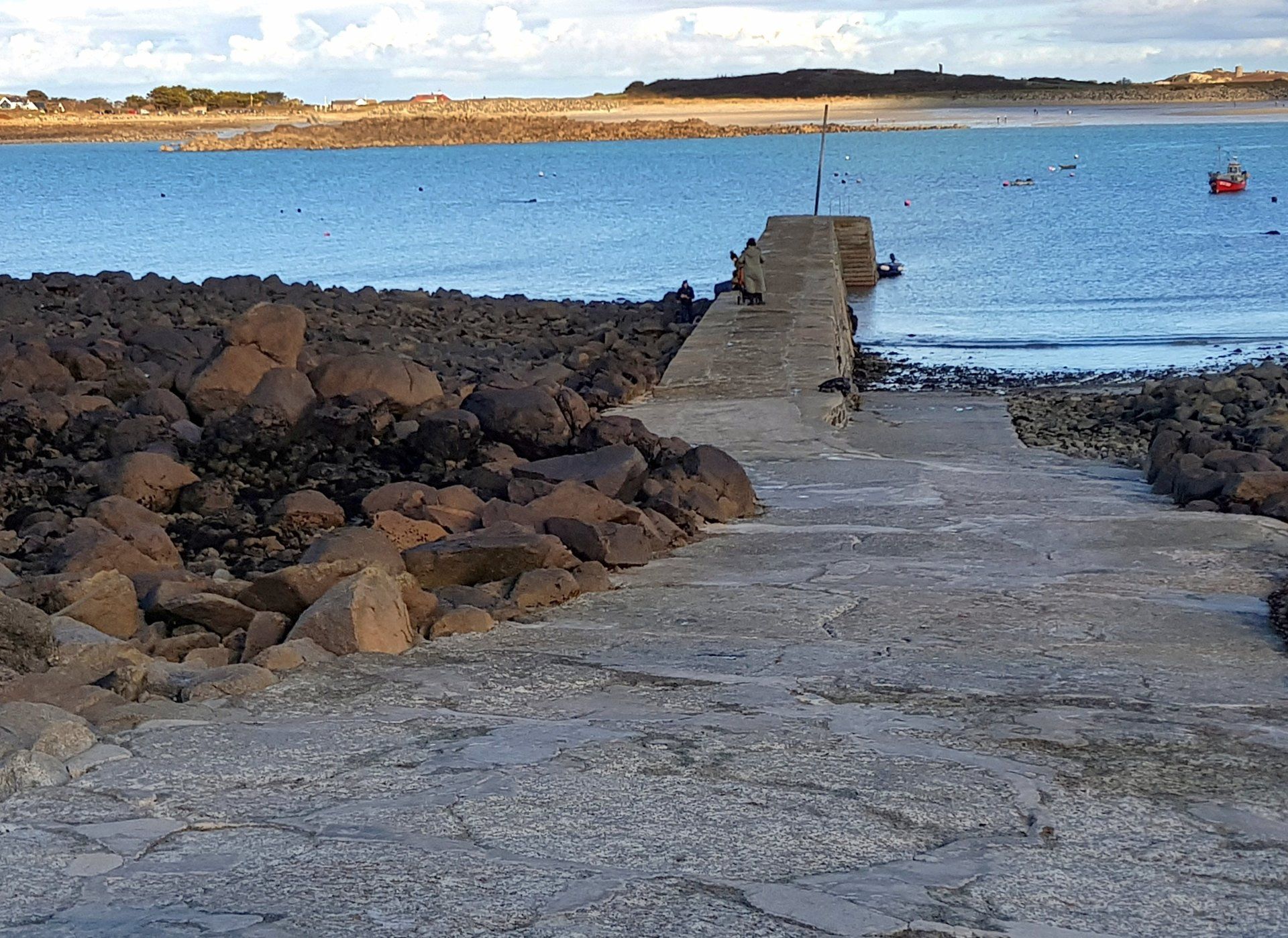
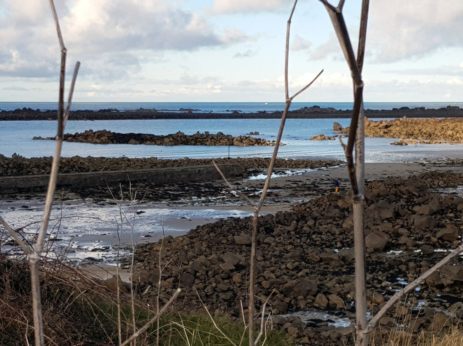
The tide is out so the bay is fully exposed. Guernsey has huge tidal range of up to nearly 10 metres, changing from low to high tide roughly every 6 hours – resulting in a constantly changing environment and view. The time is now around 14:30 so just past low tide (today 1.5 metres at 13:58) with a high tide of 8.9 metres due at 19:54. To me the scene is always better at high tide, however, the variety is what keeps it fresh. The empty bay gives a different perspective and an opportunity to walk across I do that and splish, splash along the sands, passing the grounded boats, making my way across to Rousse kiosk and pier. There seem a lot of people around and I overhear someone being interviewed by the Guernsey Press about a beach cleaning day taking place, volunteers picking up the detritus that accumulates – that explains the people!
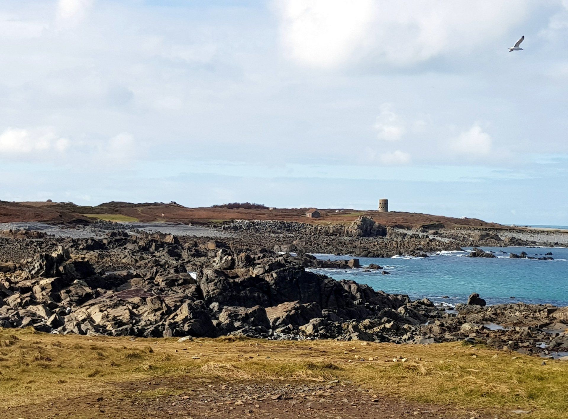
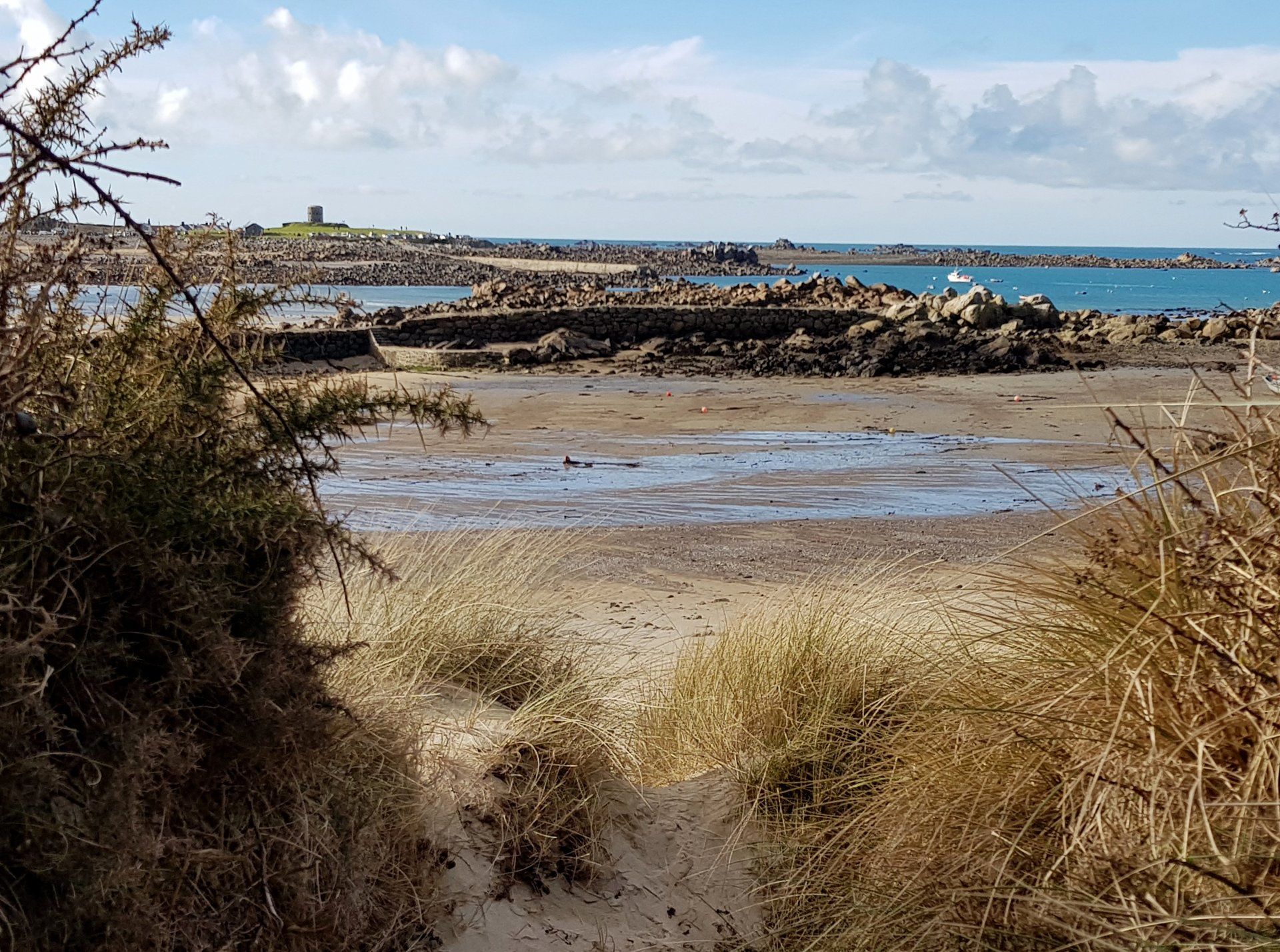
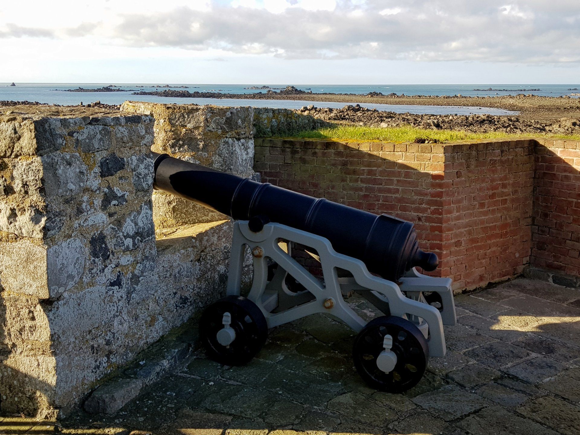
Up from the beach I enter Rousse common and another fine example of a Loophole Tower (No. 11) this one renovated with wider battery defences and cannon. This is another old haunt of mine as a child, scrambling and climbing over these old buildings Leaving the common I take the opportunity of low tide to walk along sand again, this time Port Grat. This is a lovely beach with higher water, not so scenic at this time. This is the last sandy beach for a while, reverting to more rocky coastline, also merging with human existence more, the path hogging the coast to one side but now having road or houses in the near vicinity on the opposite side.
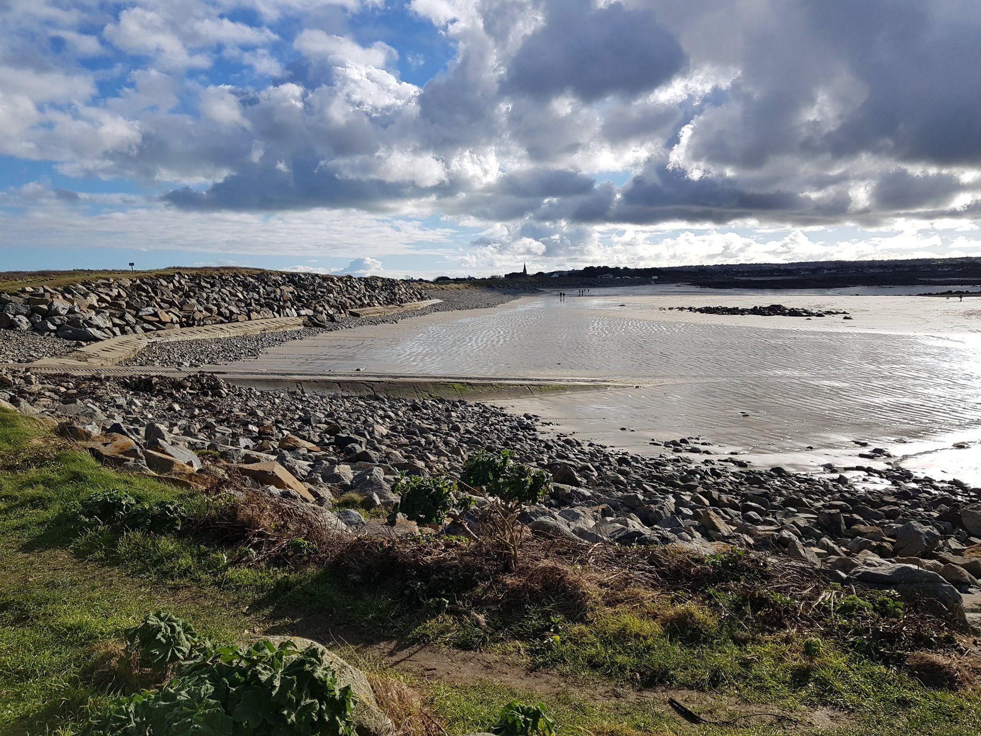
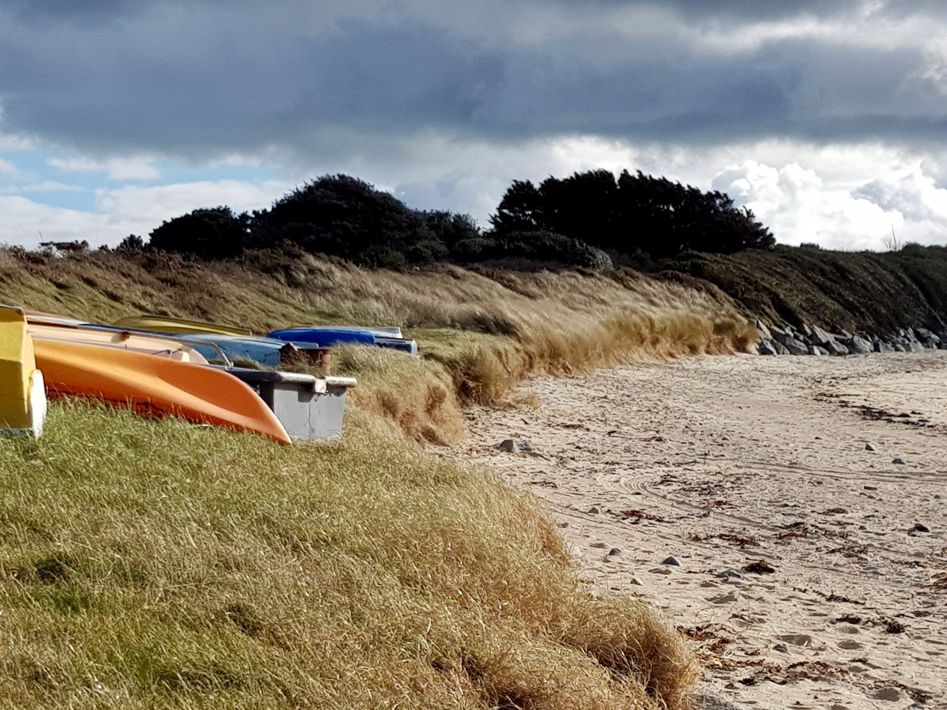
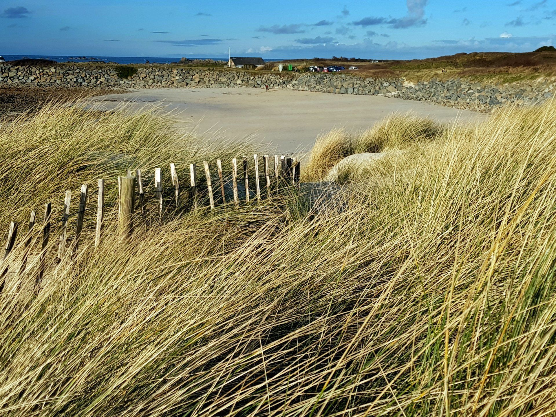
More of the same follows, including Portinfer where on a high tide & wind we can have huge waves rolling in for some spectacular scenes. Not today though, just empty bar a few shallow pools. The rocky shoreline is broken by the sands of Port Soif, another fine beach when the tide is up a bit, then I reach my destination – Grandes Rocques, 10 miles from my starting point. There is no delineation but in my mind I always think of this as the start of the “West Coast” down to the SW corner of the Island One last fort beckons for the day and I have a quick climb around the large Grandes Rocques Battery, from which you have good views for some distance along coastlines in both direction. A last look back to the North and reflection on a very enjoyable stroll. I set off a bit before noon and finished around 16:15 with a break for lunch, so around 3.5 hours active walking, about 10 miles. Nothing too challenging but a good mix, even taking advantage of low tide for a bit of beach trekking, with weather which actually seemed perfect for the moment. Good stuff.