CI Way- AprilSark
SATURDAY 14TH APRIL 2018: Spring is here! Blue sky, sunshine, if a little hazy, light breeze and a moderate 13 degrees or so - perfect walking weather. And to celebrate, today I am off to Sark, the first of my Island hops on this CI way.
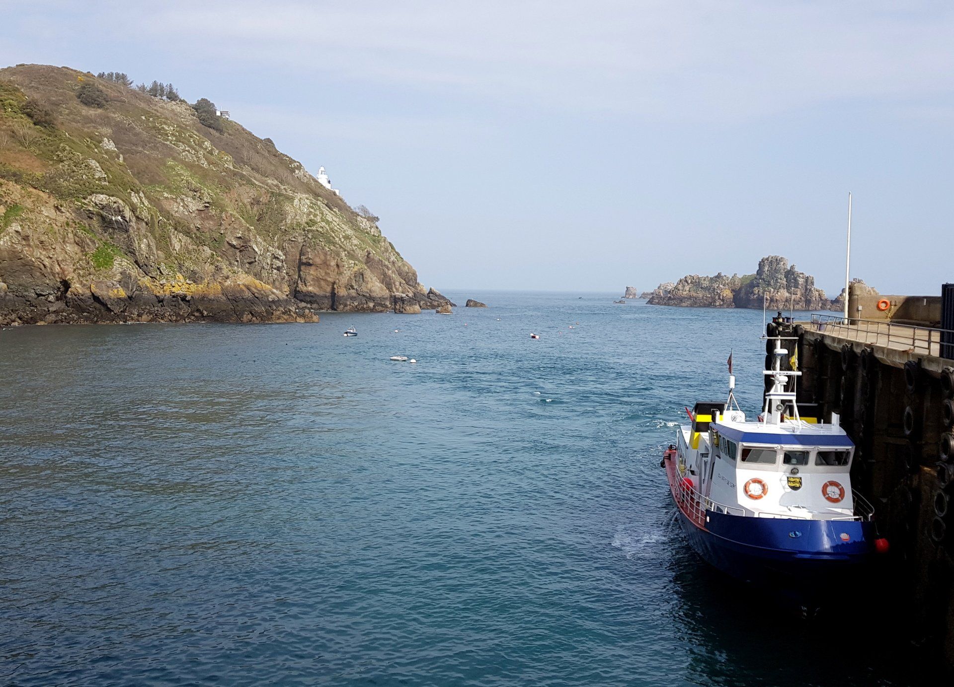
There is no better way to emphasize that this is a coastal walk than to arrive by boat, and that is what I do after a 50 minute voyage on the “Bon Marin” docking into the tiny Maseline Harbour. On the way I had a good view of the Sark coastline as we approached from the West and followed the Island around to the Eastern situated harbour. I can see what look like paths along the cliffs, but a bit of a warren.
The walk route in Sark is a little complicated as there is no clear circular or coastal path as such, it is more like branches on a tree, with roads and paths emanating from the centre , linked occasionally by trails. I have a guide book route, but can find no GPX, so navigation could be a challenge!
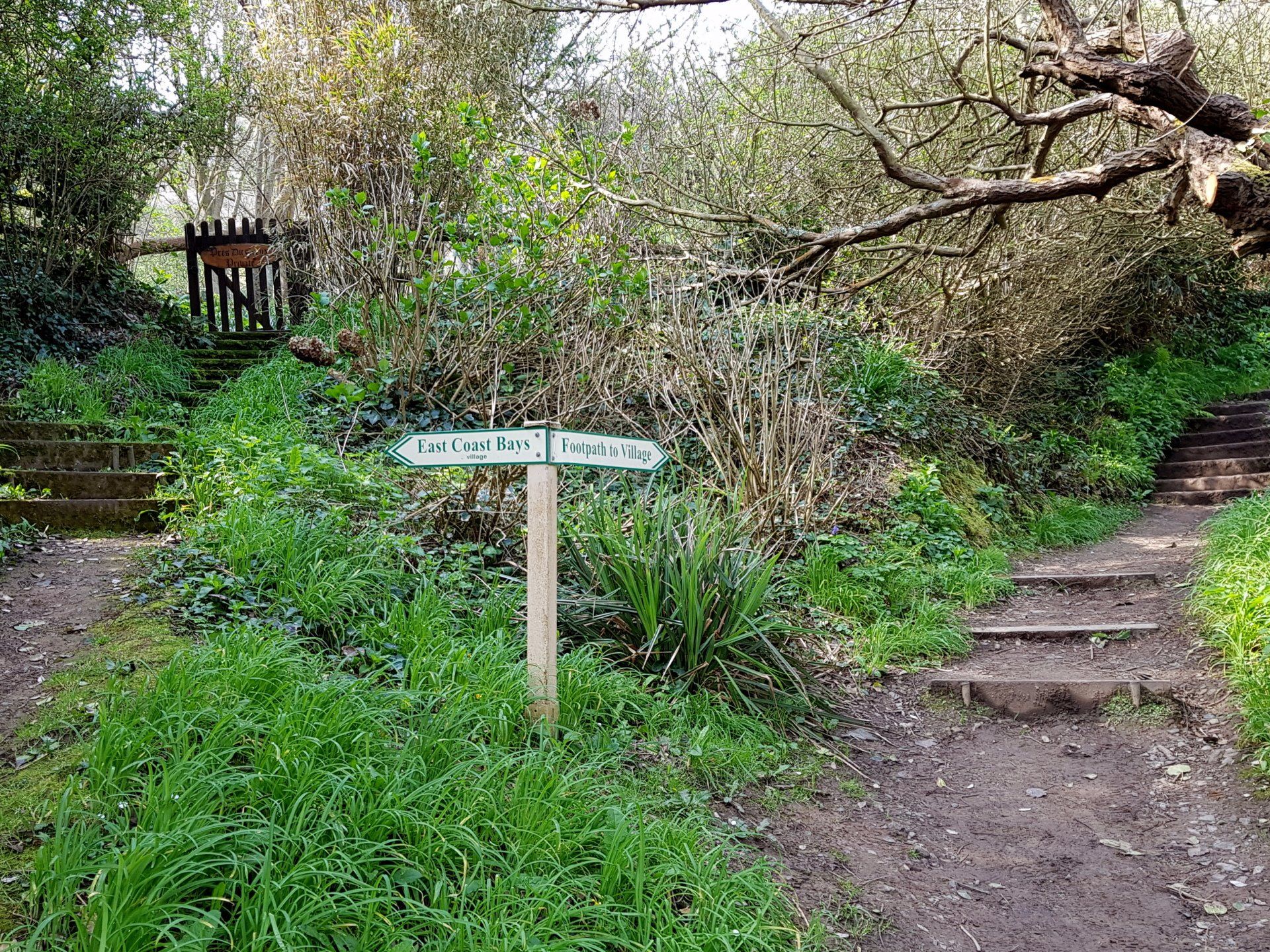
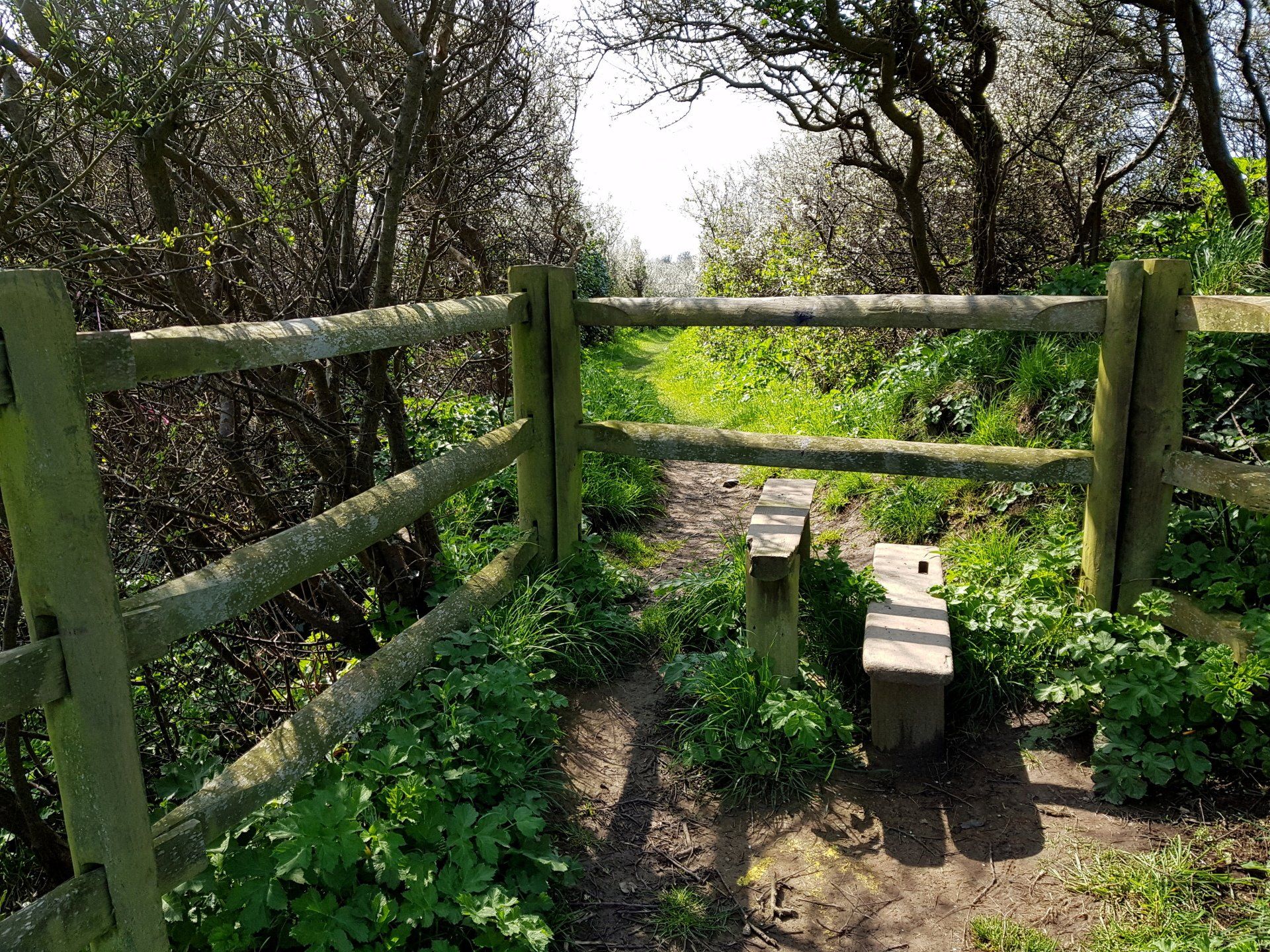
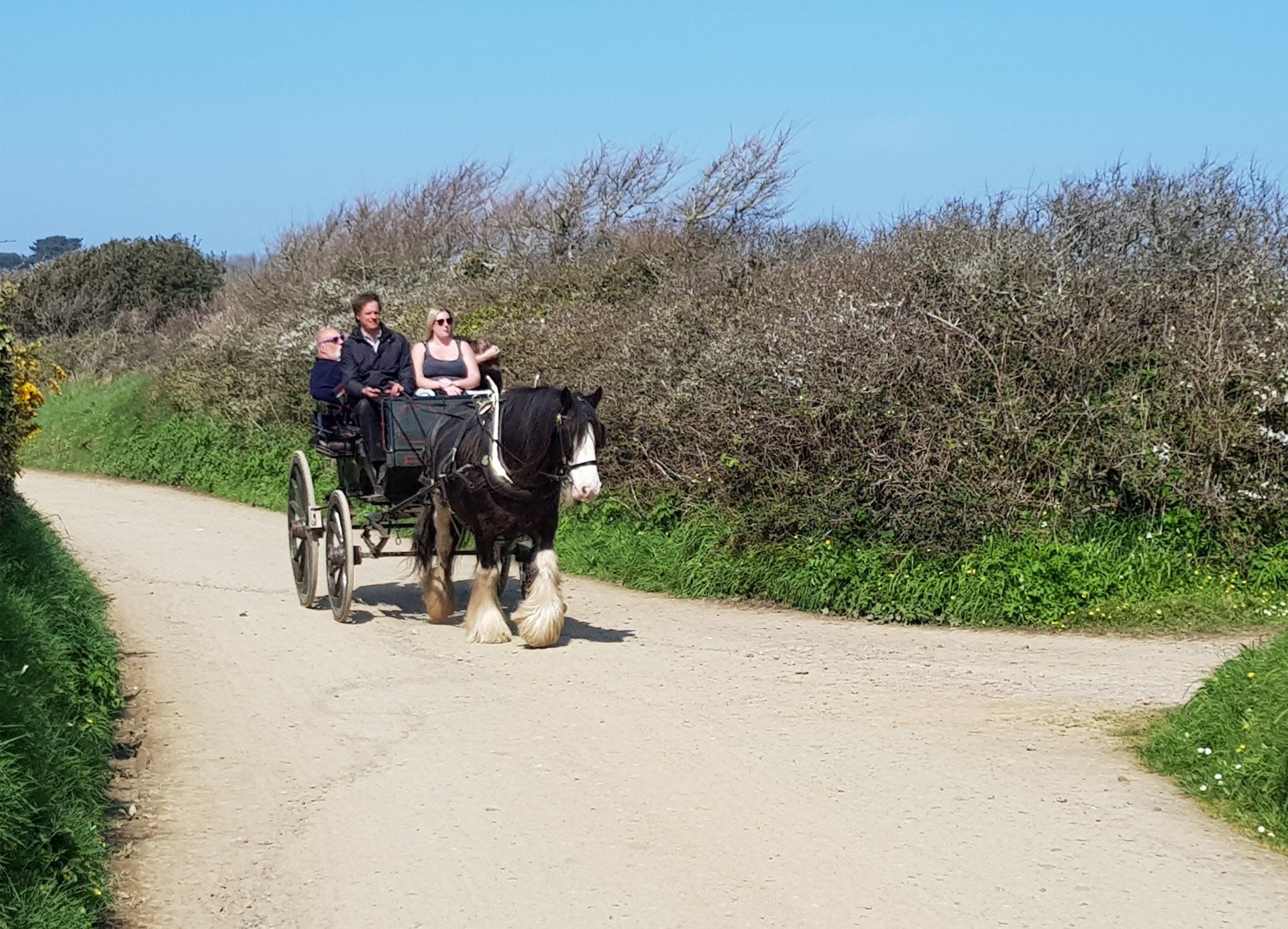
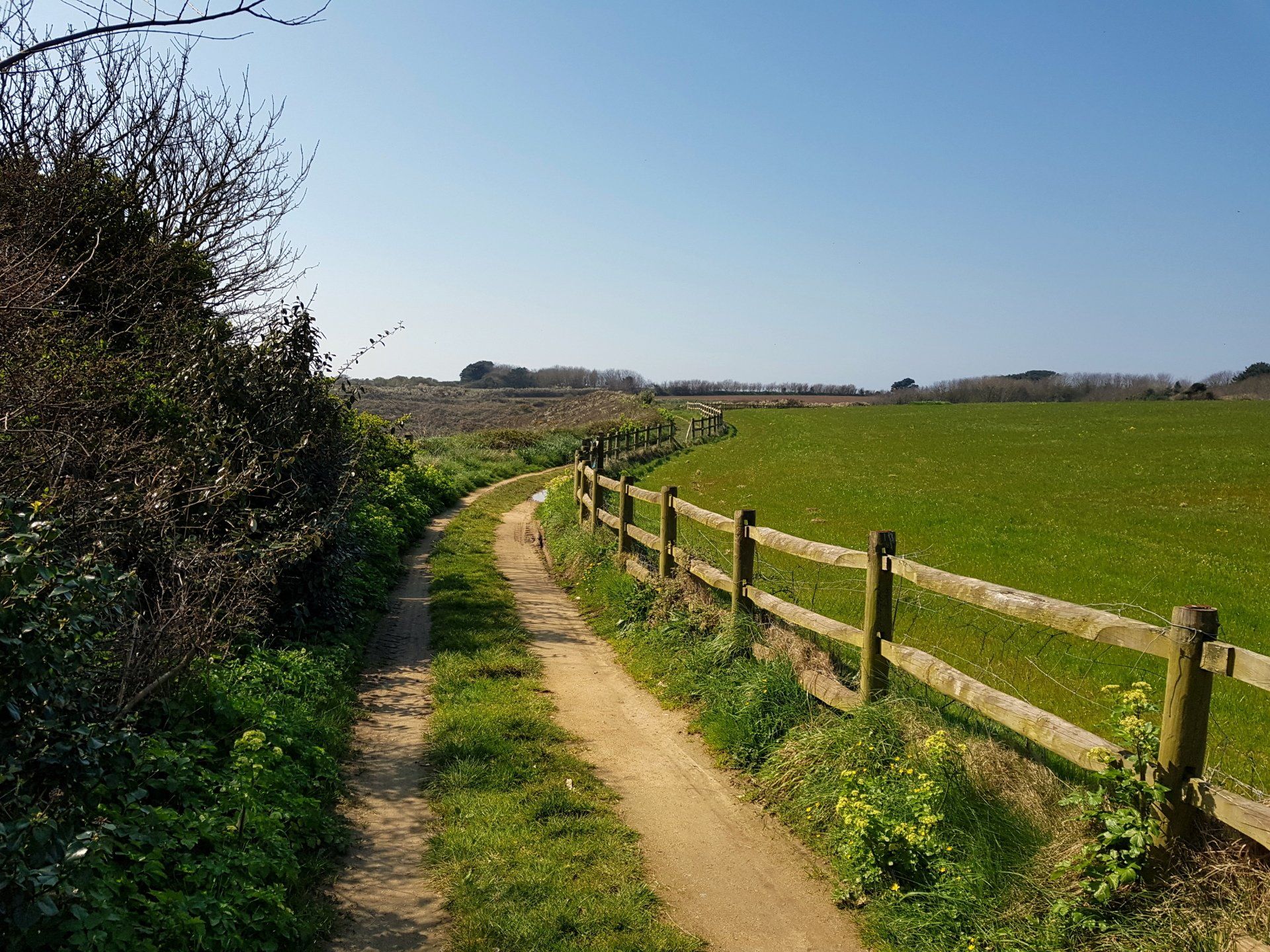
The boat is busy, with 60+ passengers, many I think day-trippers from the Cunard cruise ship that has docked in Guernsey today – the first of the season – and on disembarking from the boat most quickly disappear up the hill courtesy of the “toast-rack” (tractor pulled carriage). I organise my pack and then start the walk up the hill, quickly locating the entrance to the cliff path a 100 metres of so up the track and follow the sign for the “East Cliffs”.
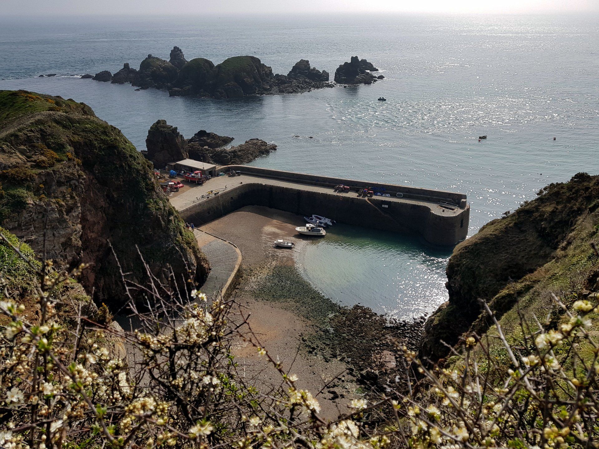
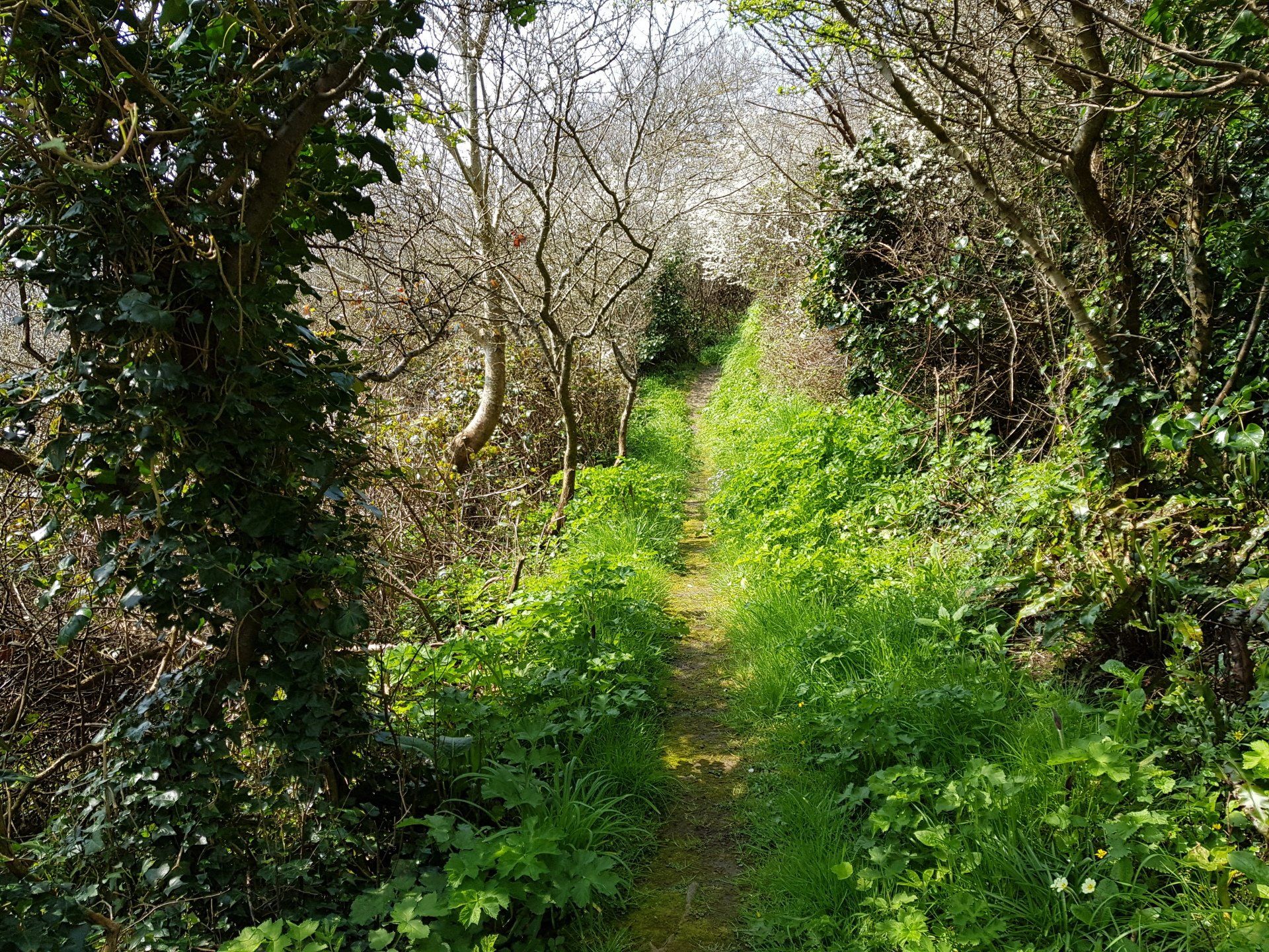
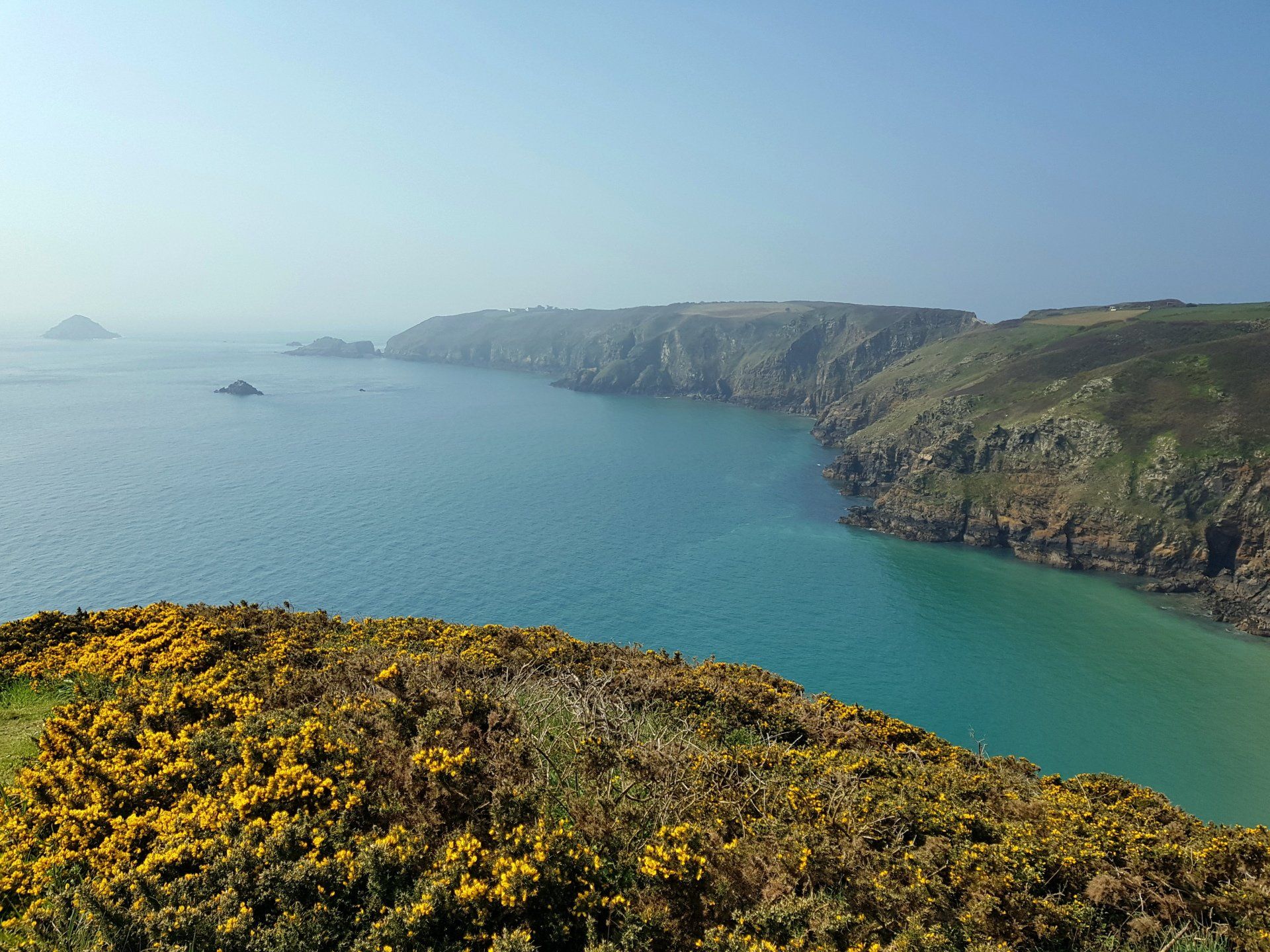
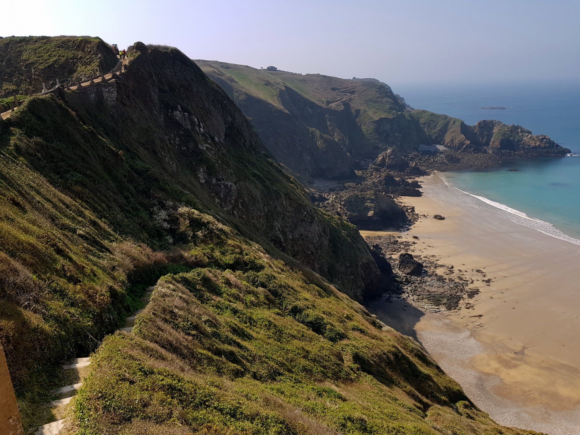
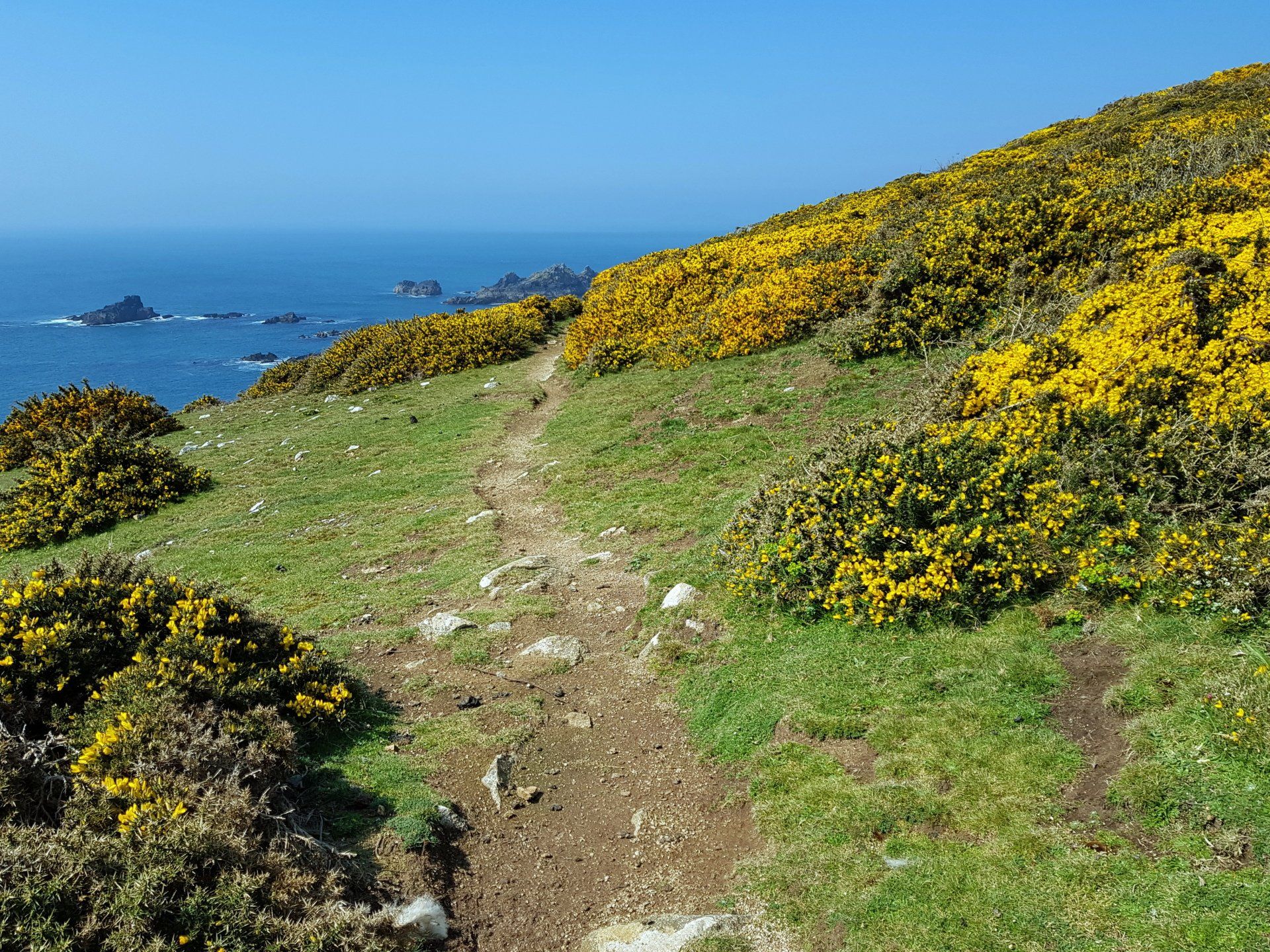
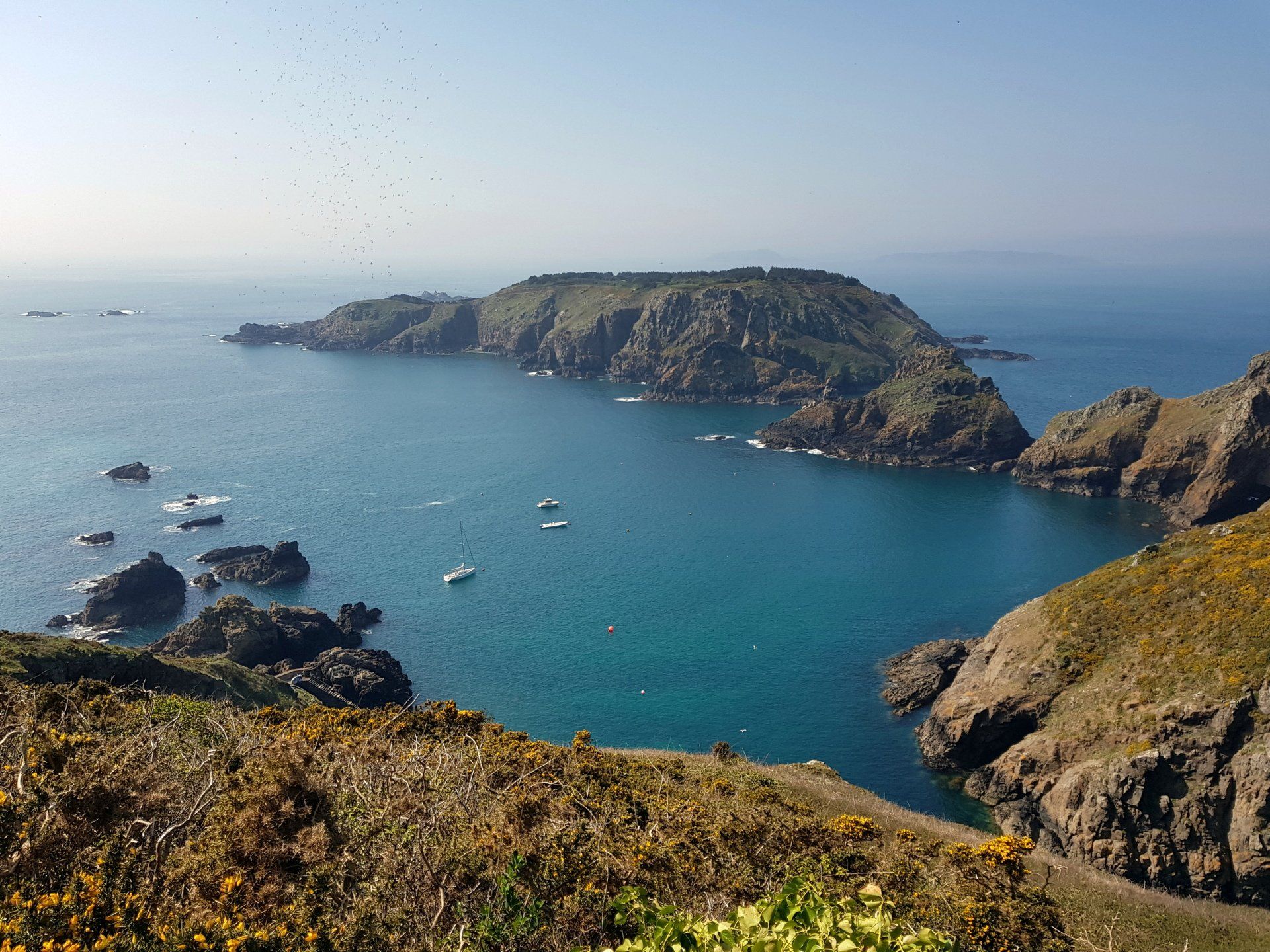
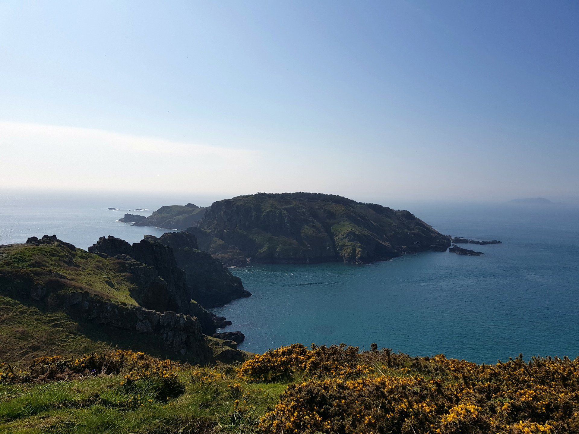
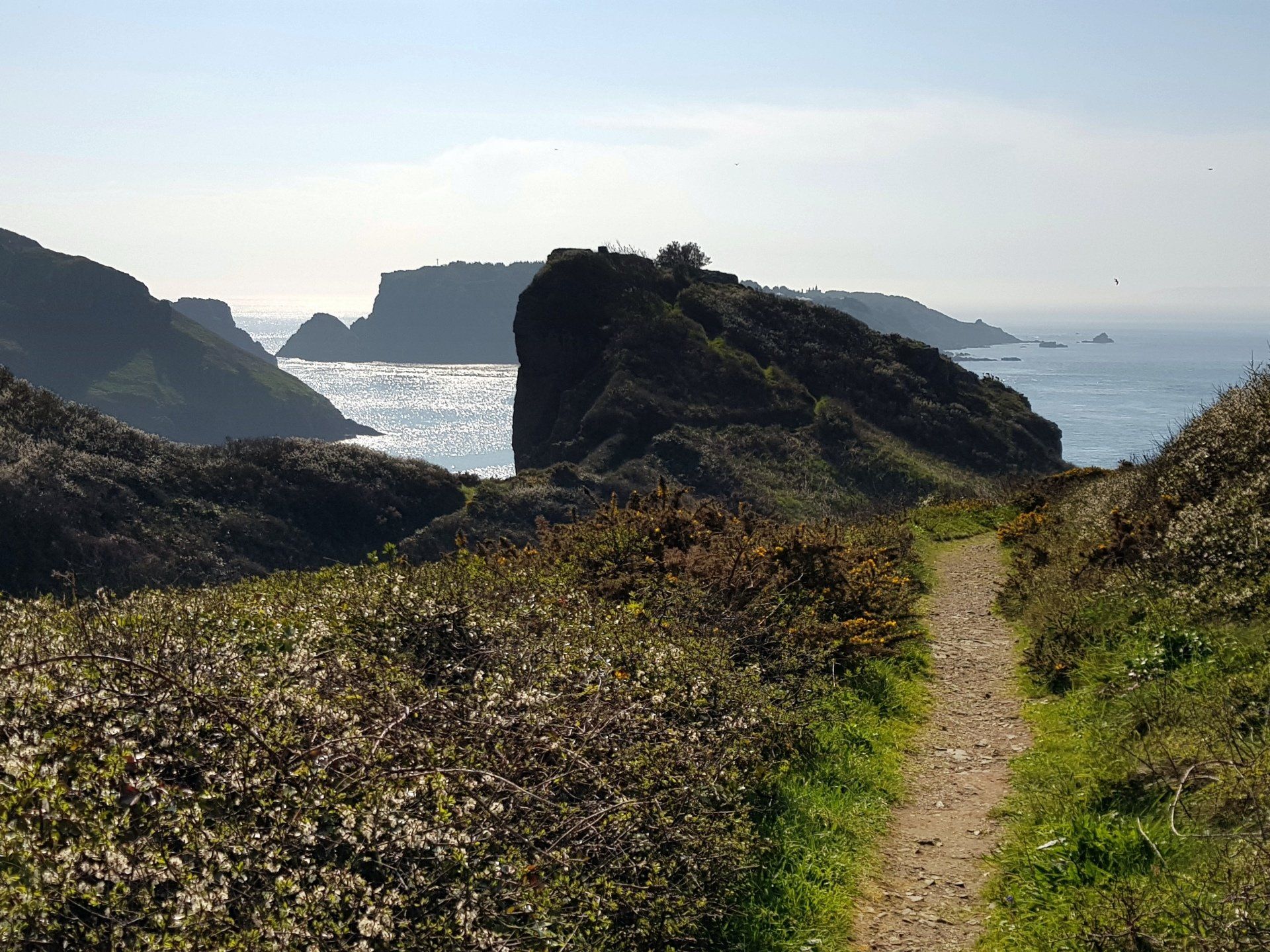
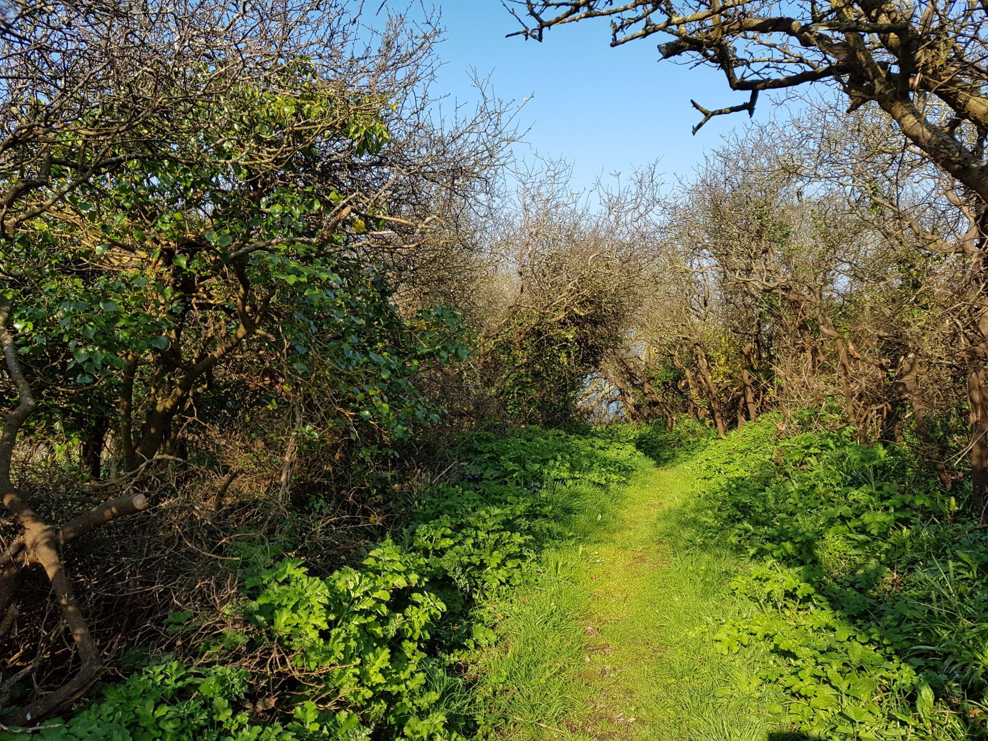
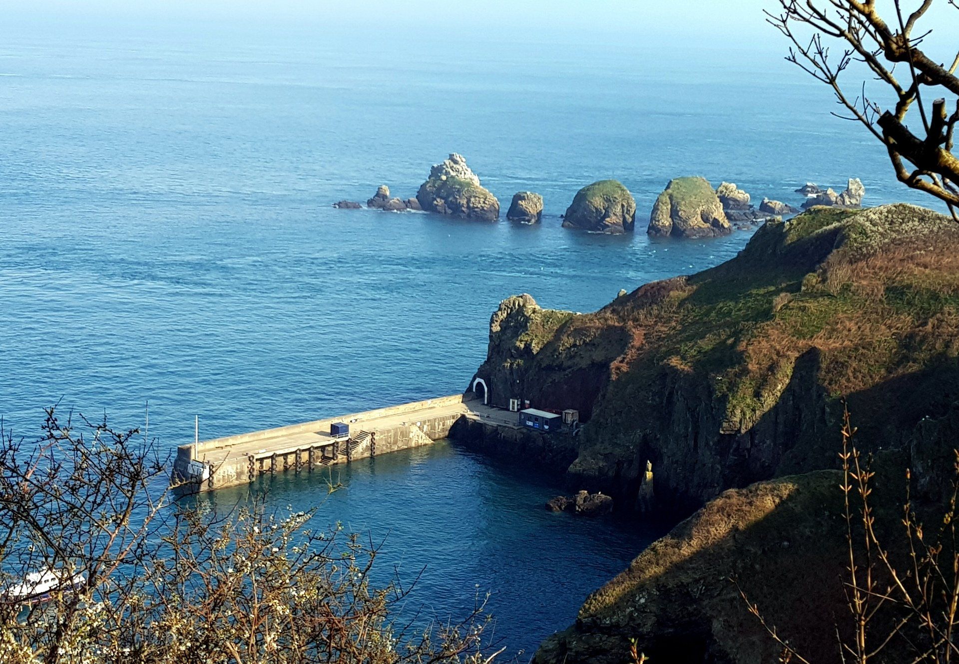
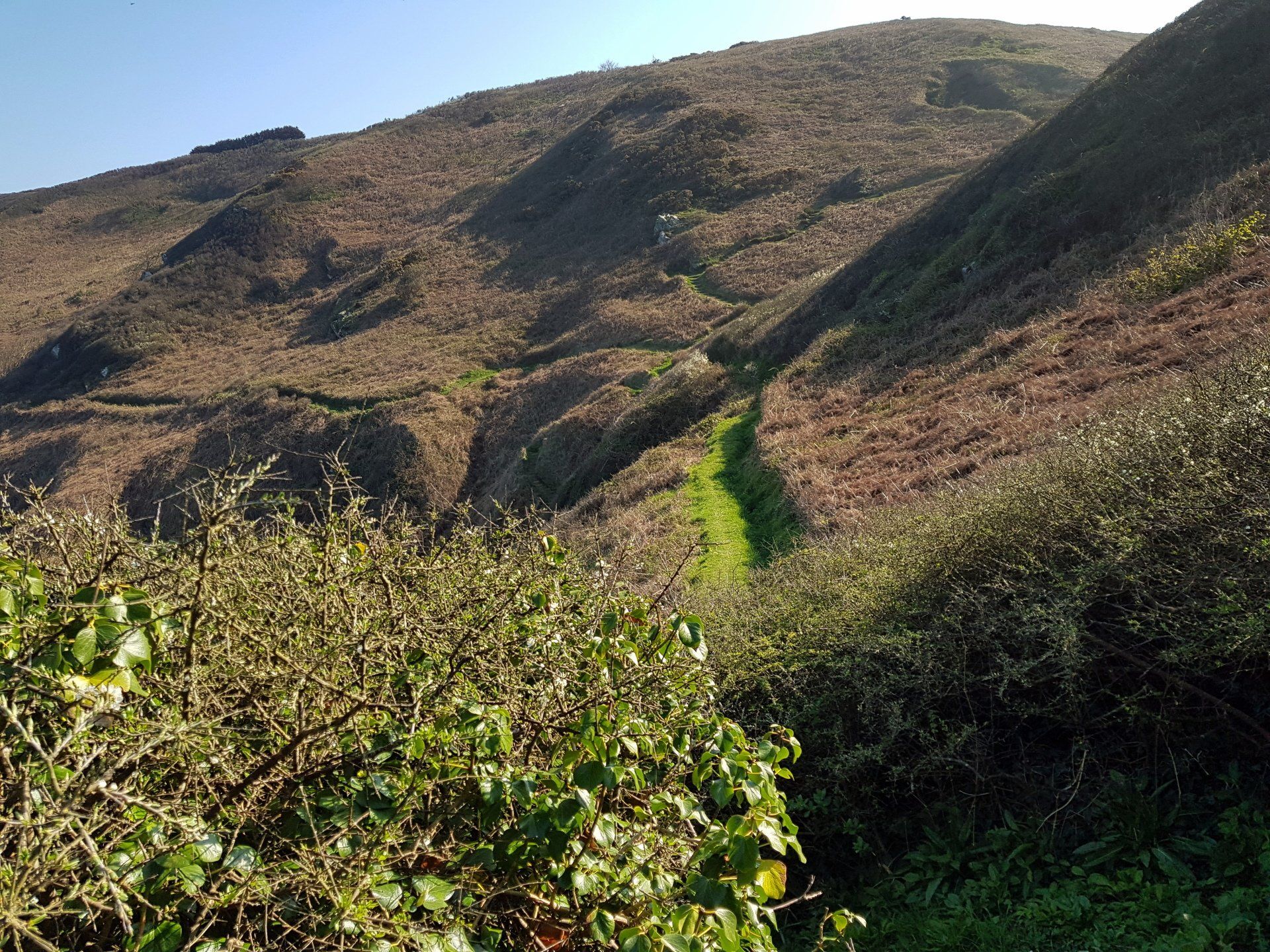
It seems I Immediately leave behind civilisation as I enter a peaceful world of green & blue, with sound on one side of the sea and gulls and the other of song birds tweeting away. A stiff climb leads me to an overview of Creux harbour (through a tunnel from Maseline) which is apparently the smallest harbour in UK... not sure about that but it is certainly quaint. Great view from up here, which tempts me for what is ahead.
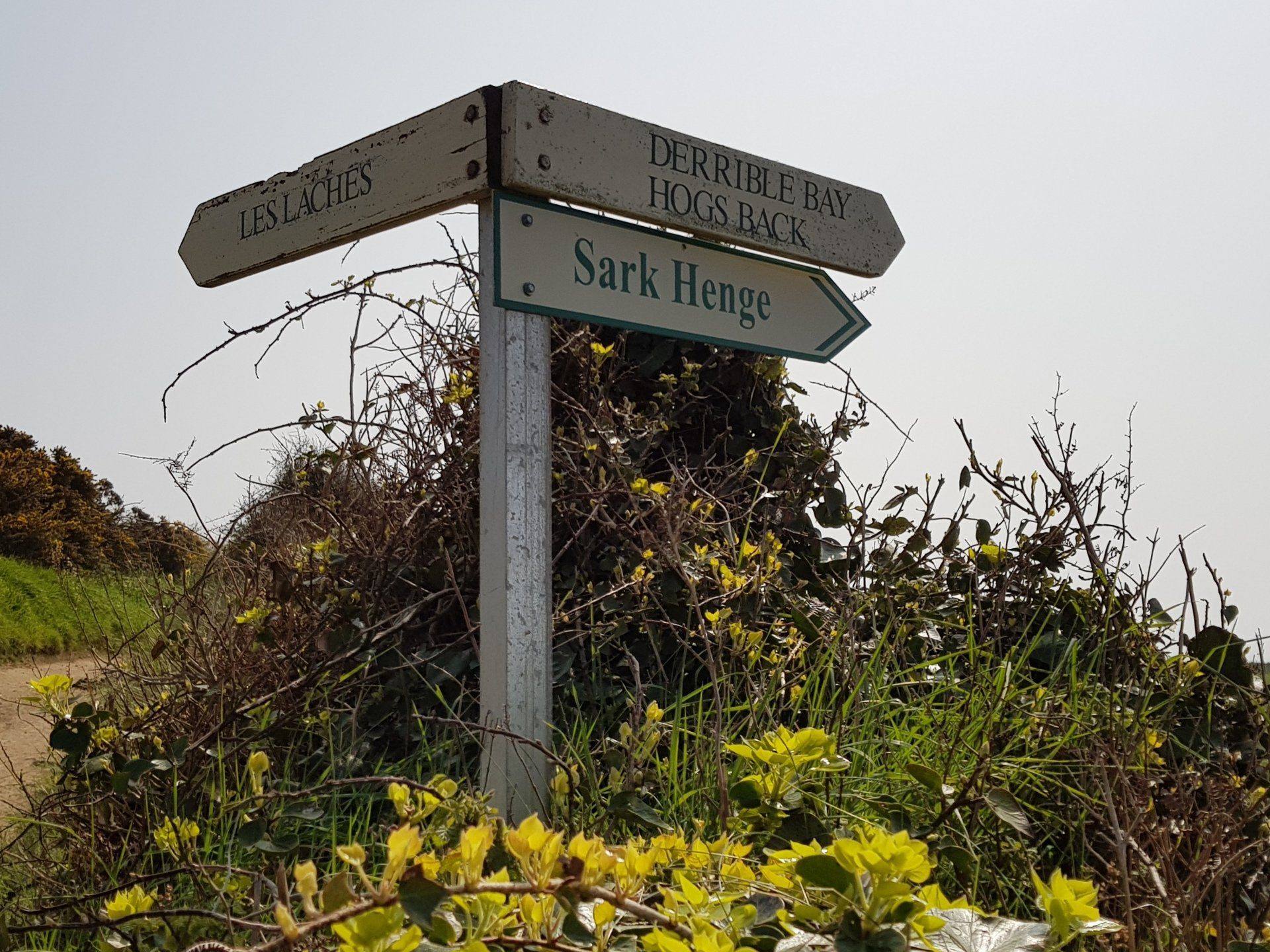
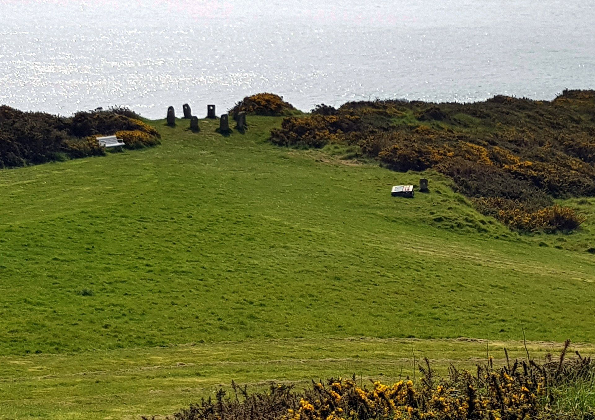
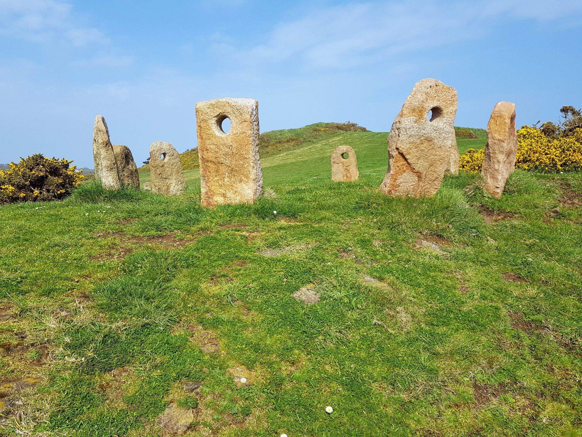
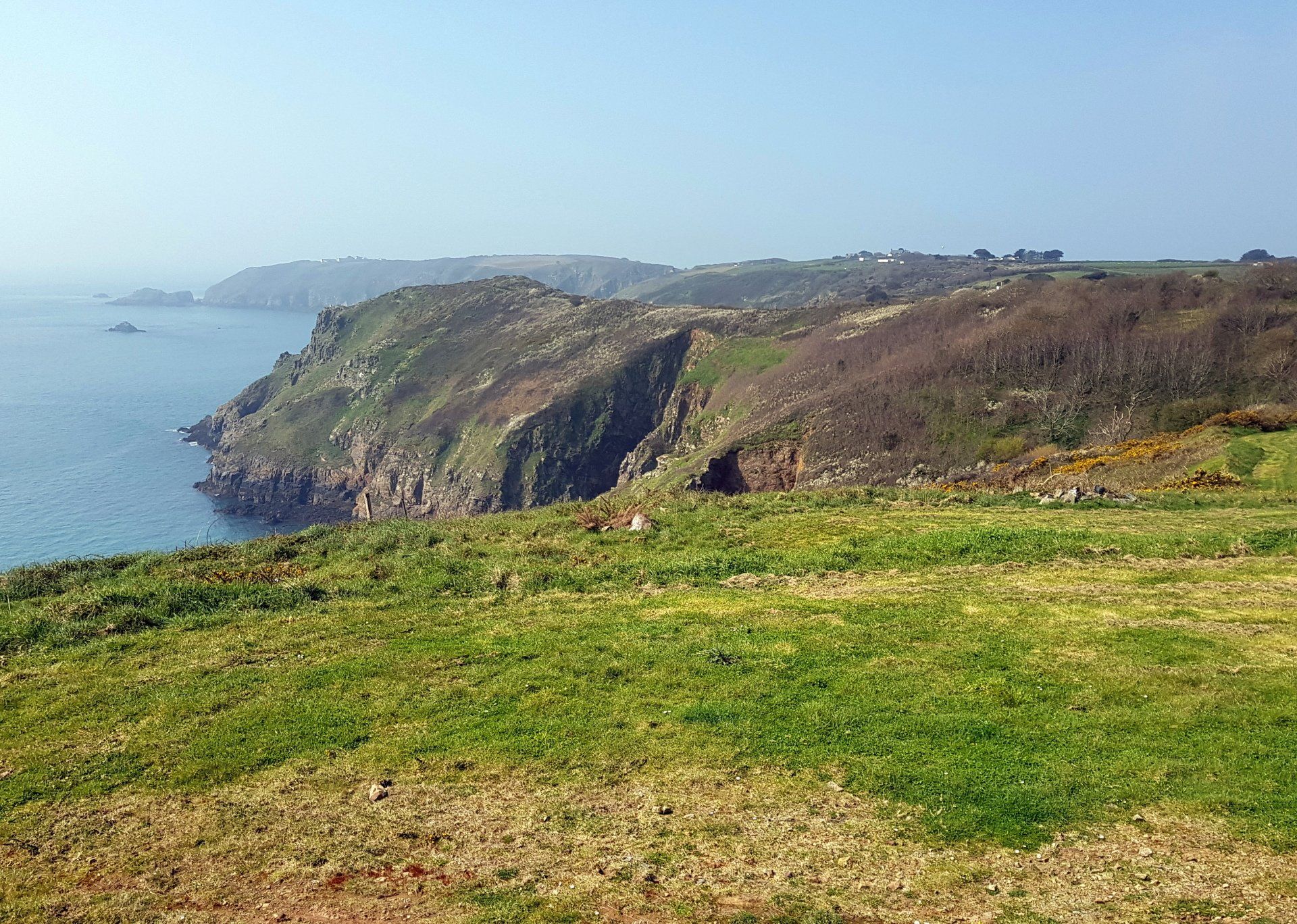
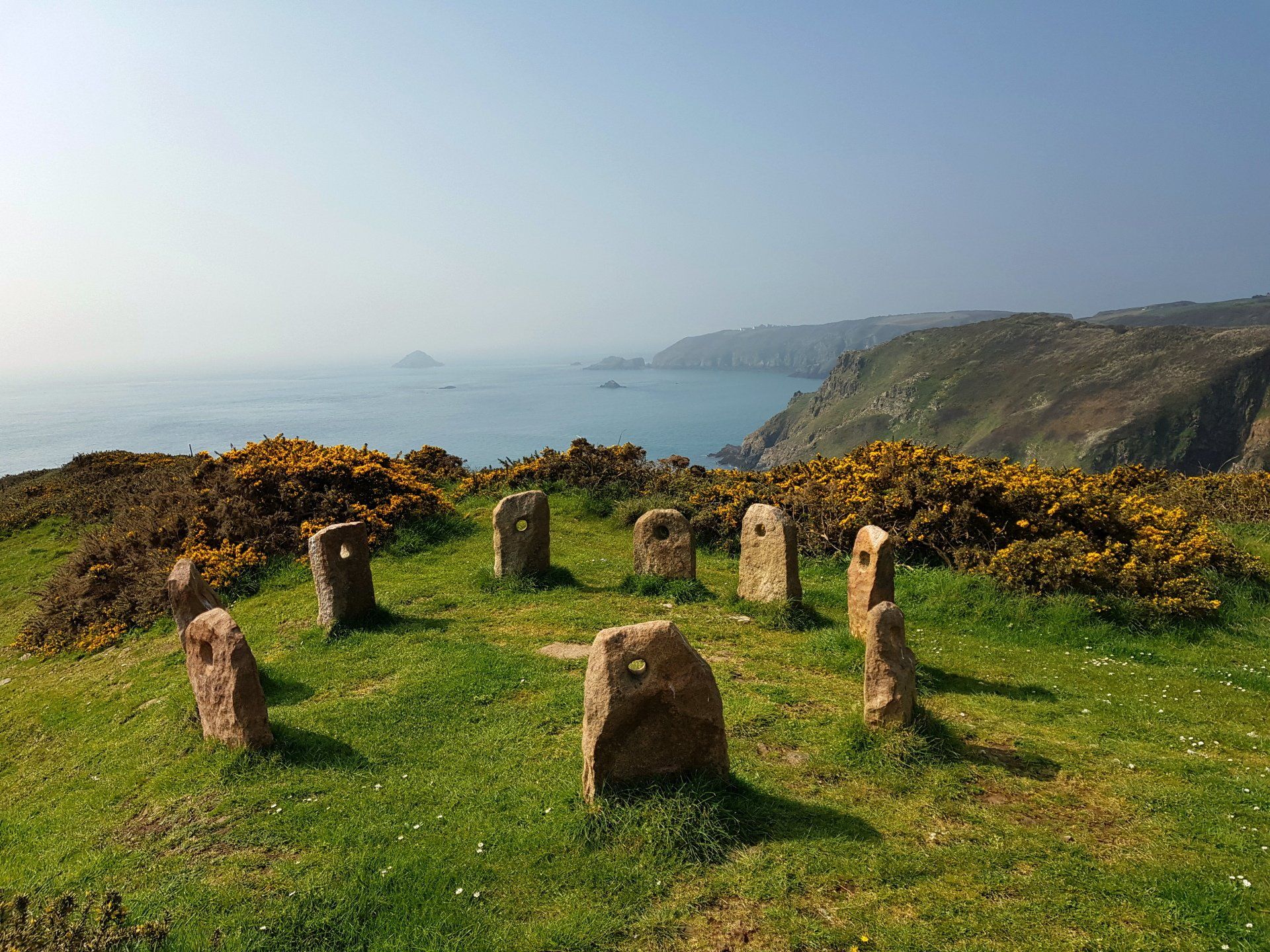
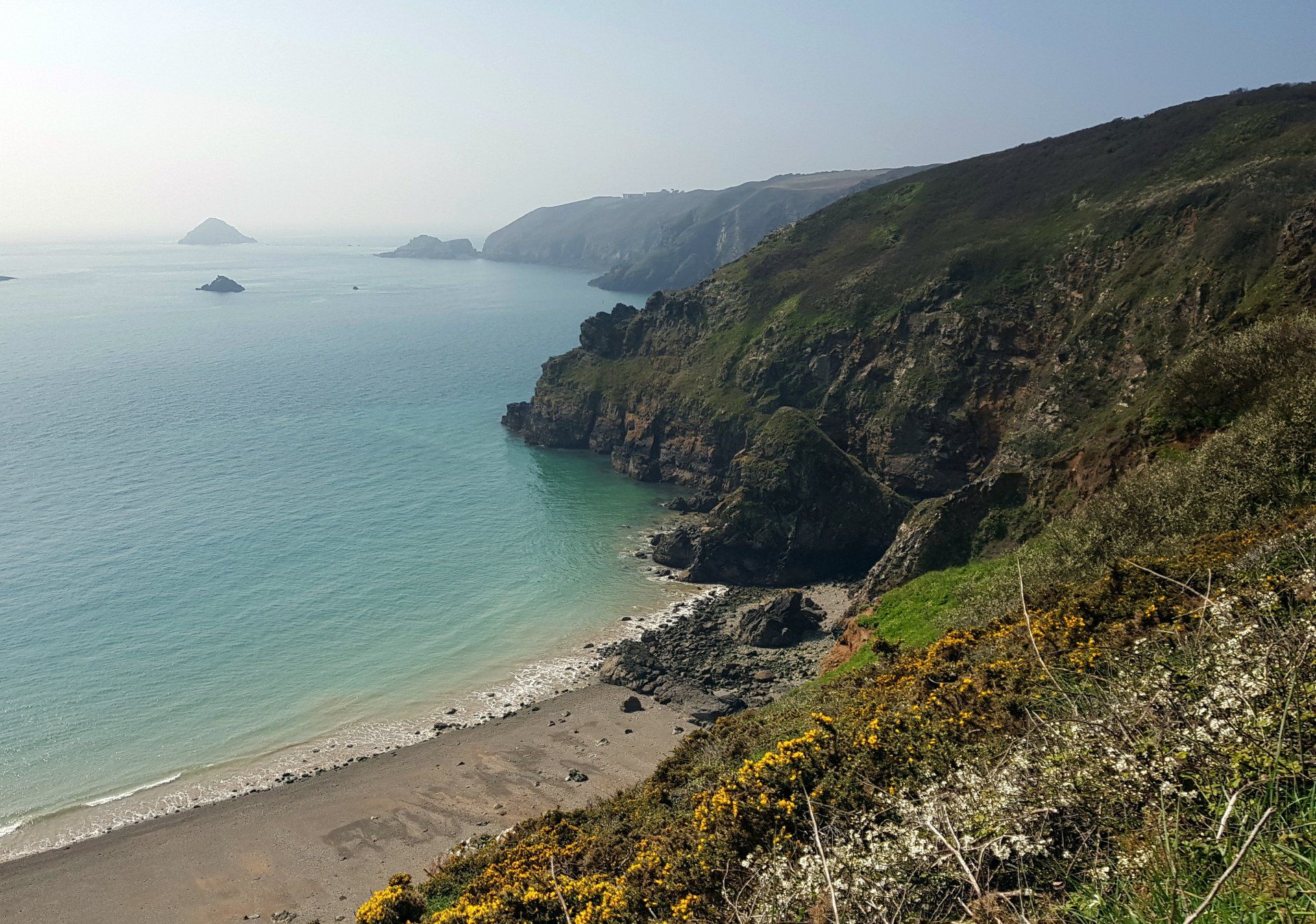
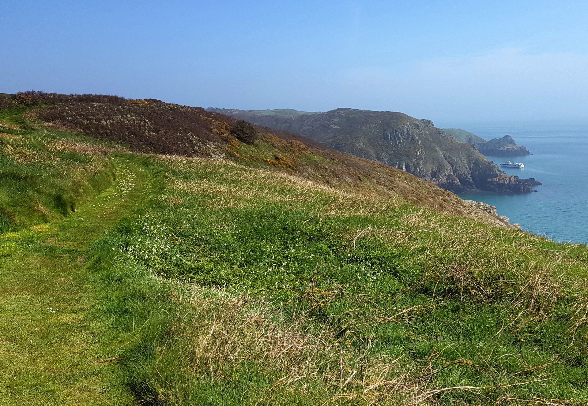
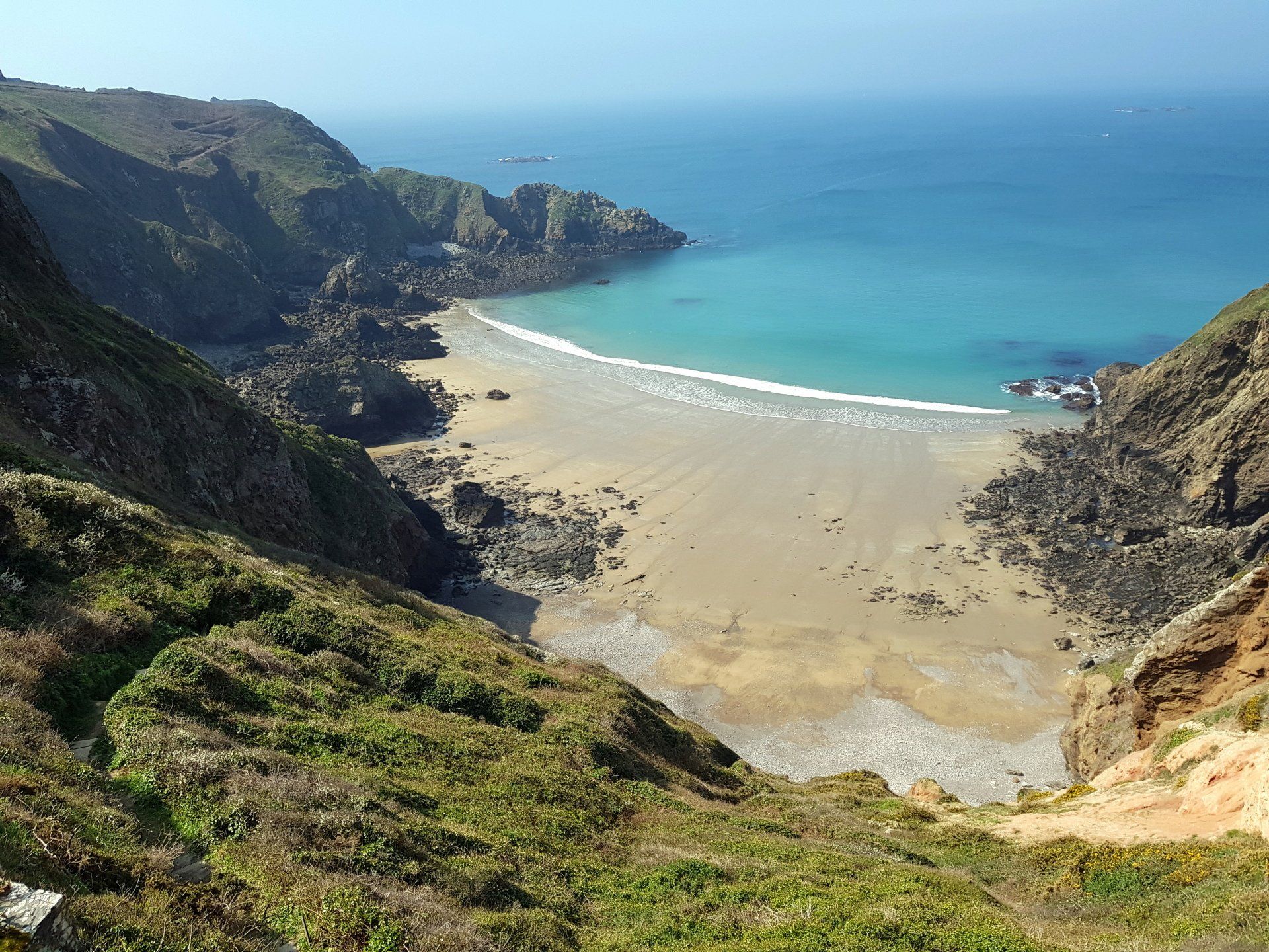
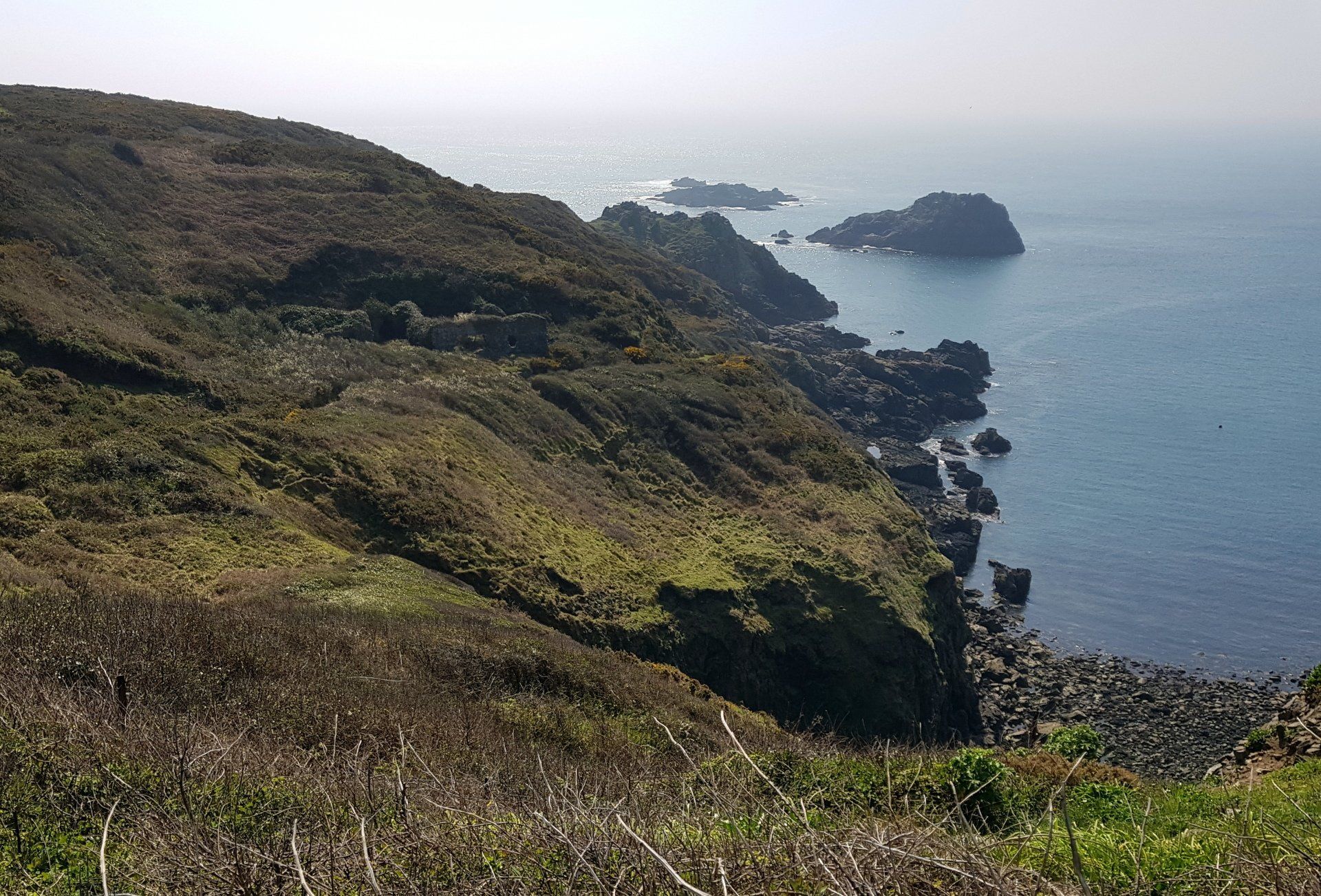
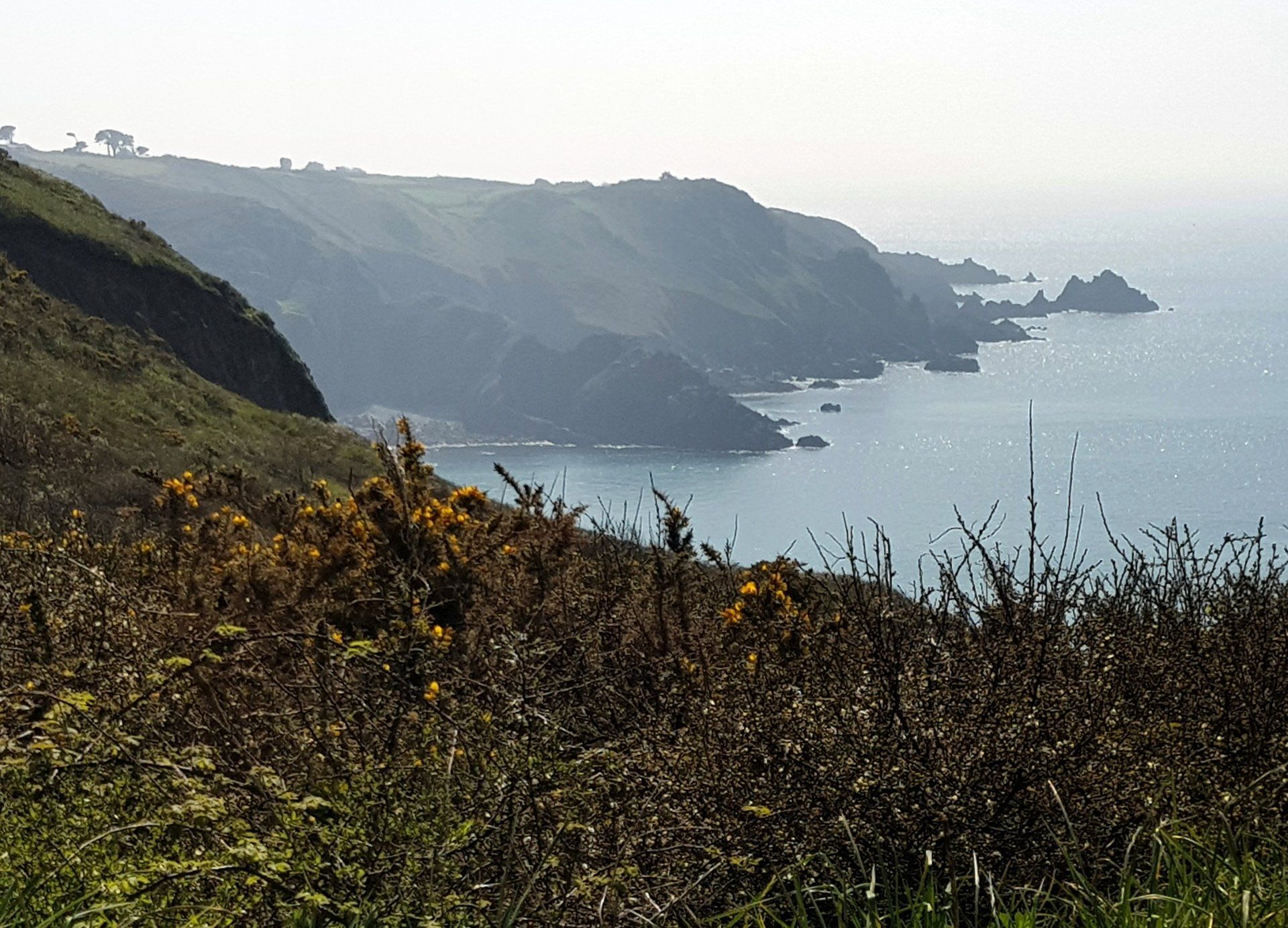
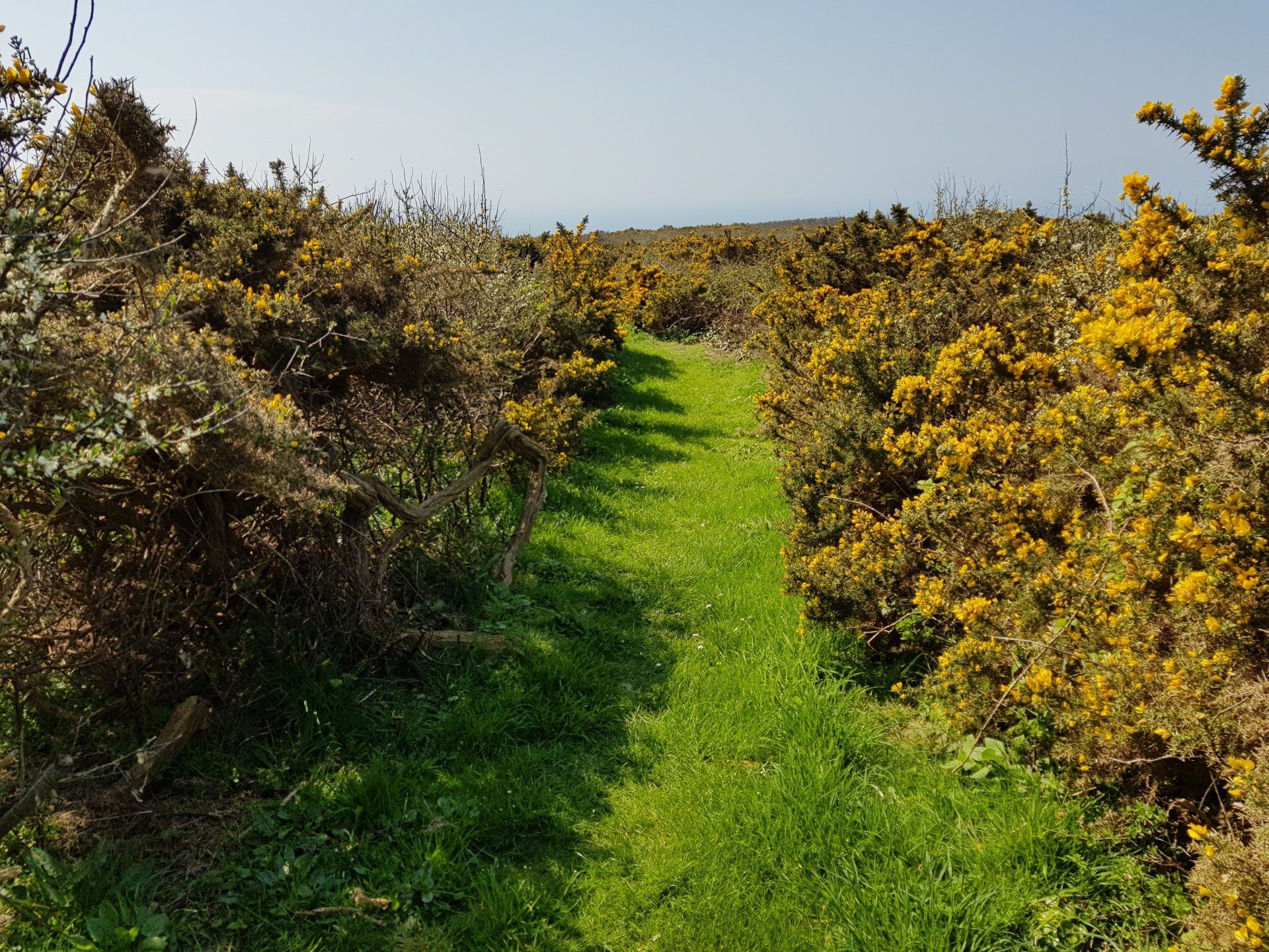
What lies ahead turns out to be a glorious walk along cliff tops and through track and forest, really a wonderful hour or two of walking. First up is Derrible Bay, above which lies “Sark Henge”, a new marker to commemorate when Sark was granted to the Seigneur by QE1, 450 years ago. It is in a fantastic location and certainly makes a great photo op! From there I eventually locate the path onward, then elect to divert to visit Hogsback for yet more fantastic views.
There are so many different types of scenery– rolling green fields, mountains, deserts etc – and all have different appeal and preference. I am not going to list favourites, but I never tire of cliffs and the sea, even though it is the most common scenery available to me living on an Island.
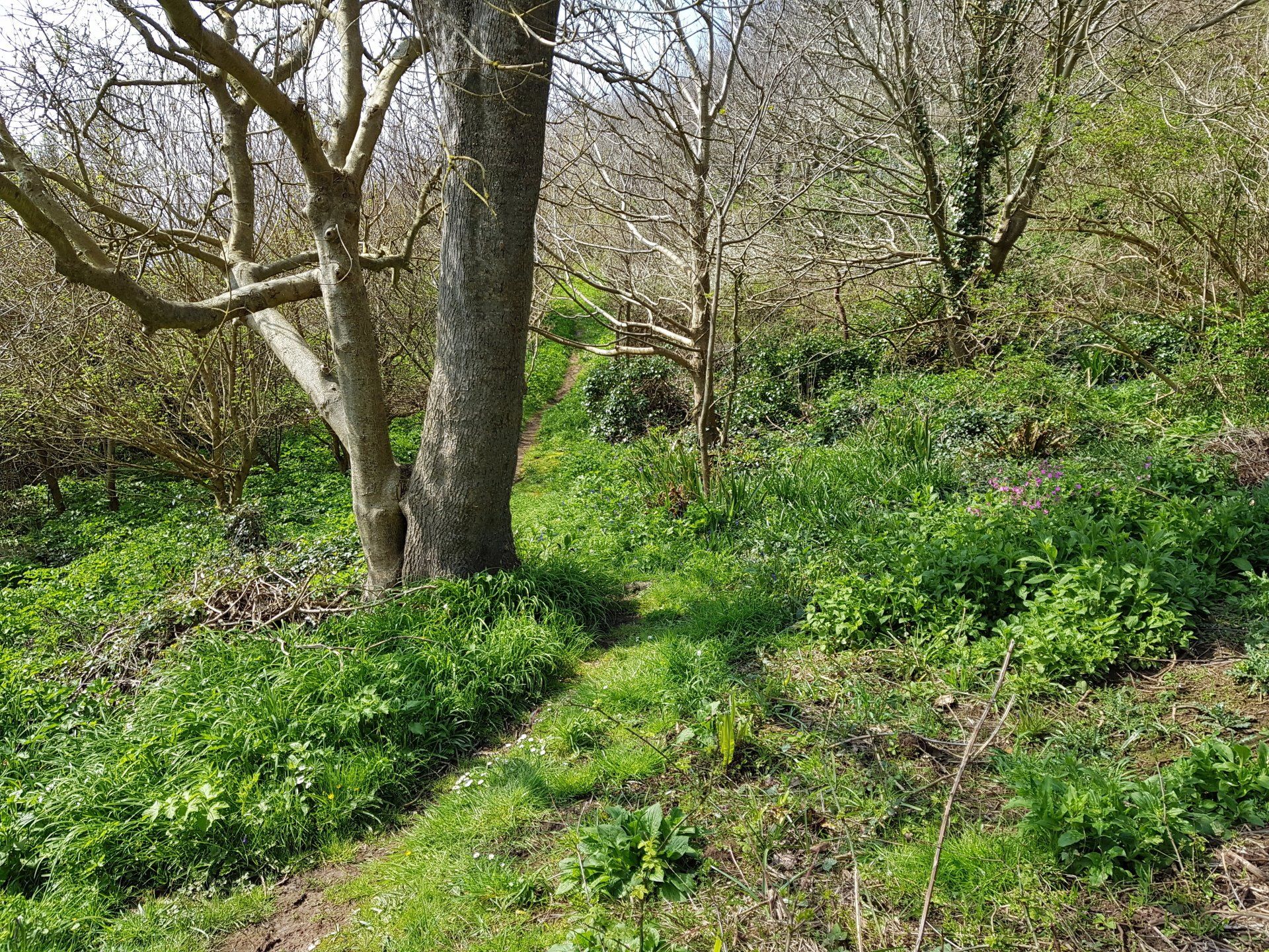
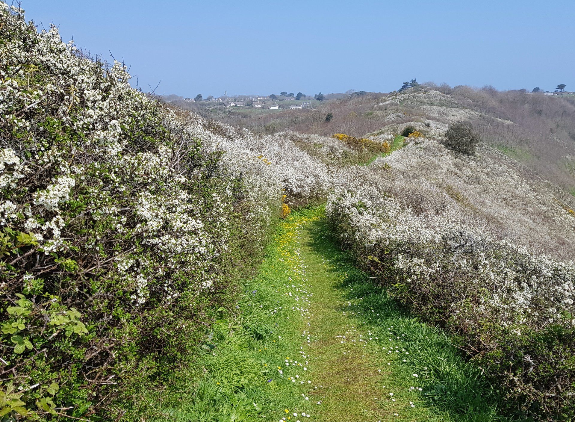
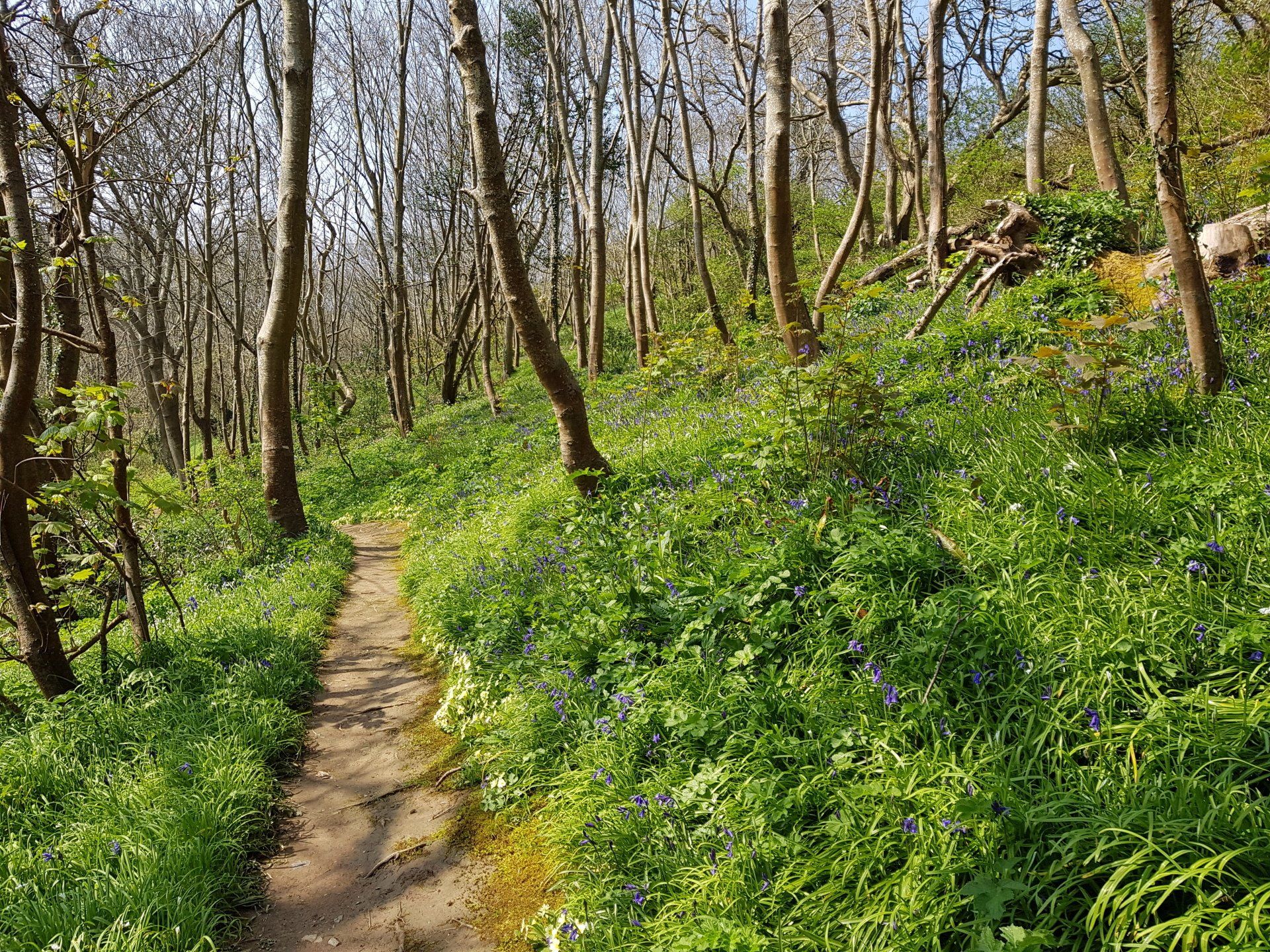
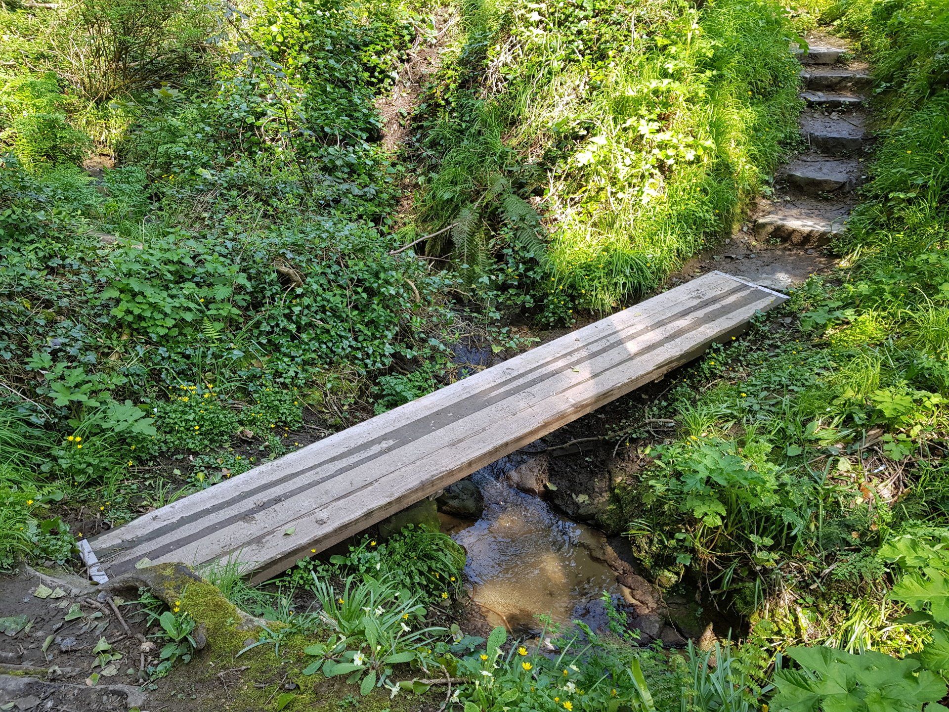
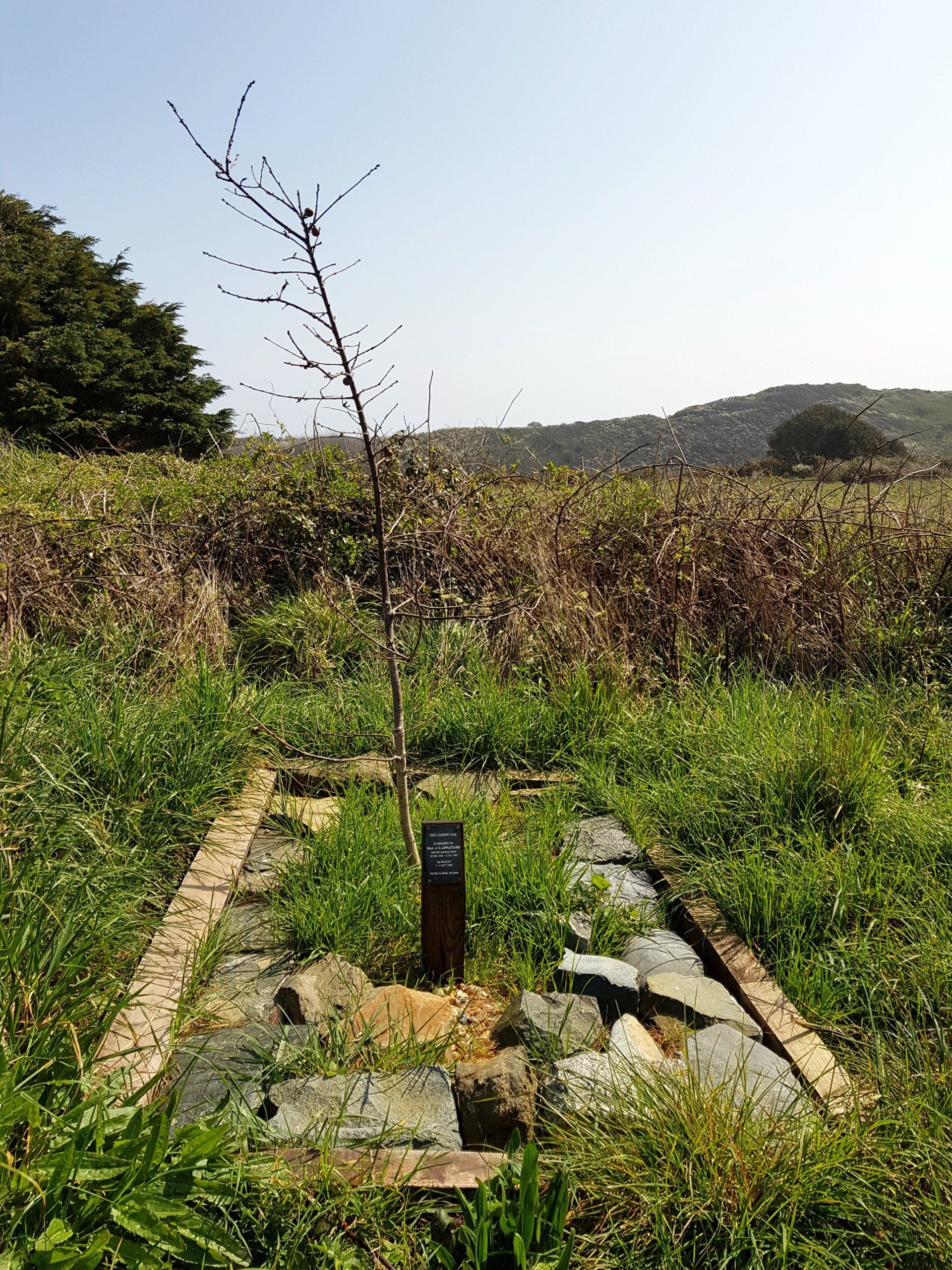
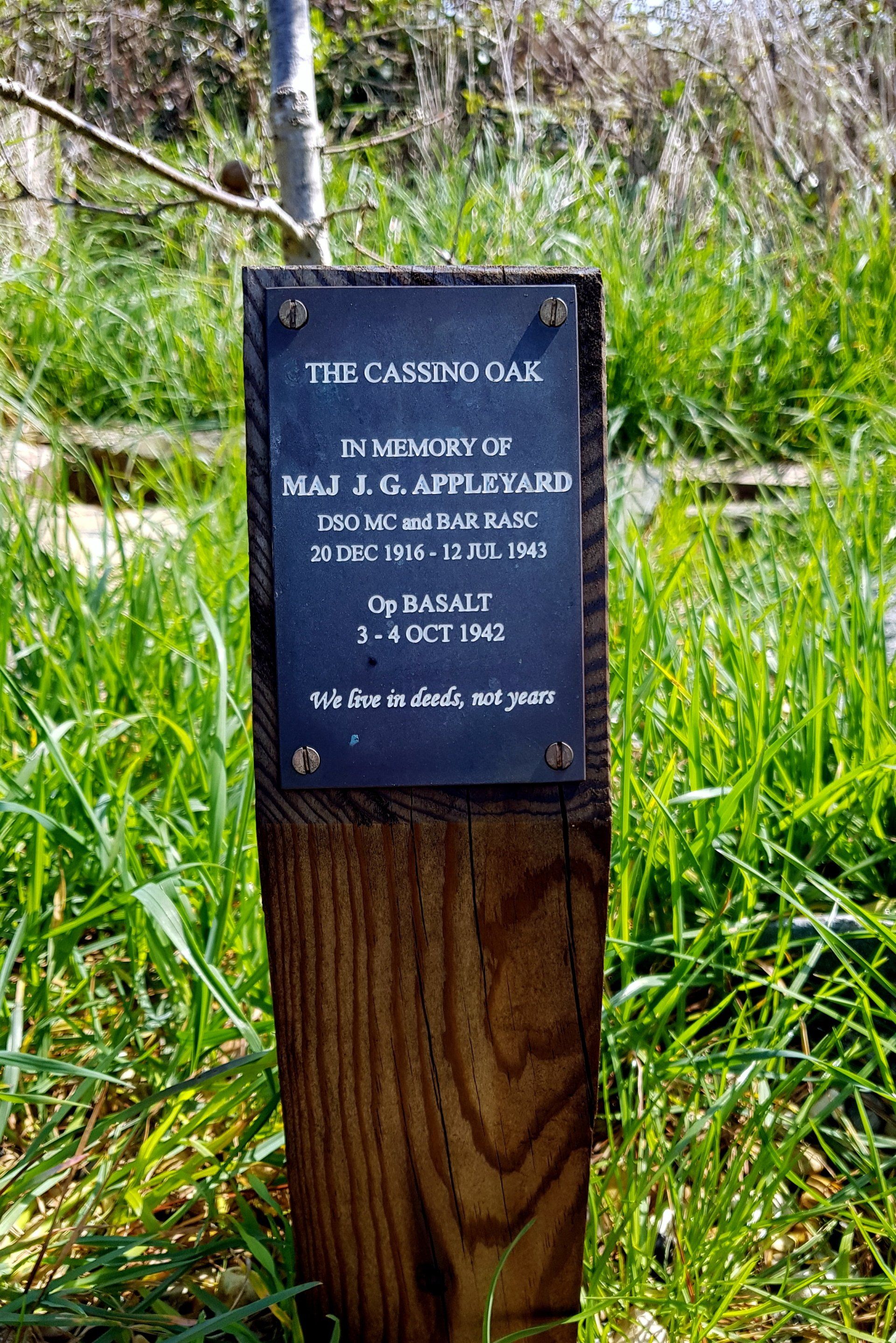
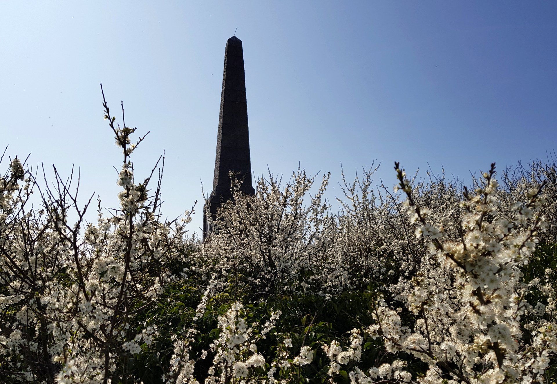
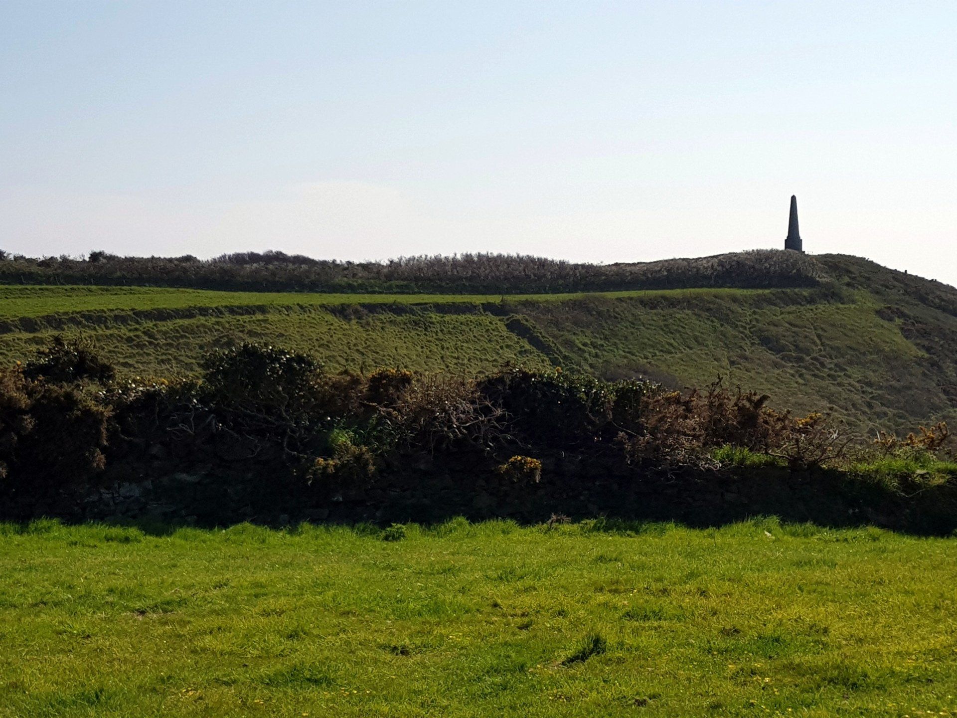
Following the trail back and onwards to Dixcart Bay I enter light forest and vegetation through Dixcart Valley, with small stream and a smattering of Bluebells eventually emerging back out into fields, which then lead back to the cliffs. I realise I have missed a small monument I was looking for and retrace my steps a short way to locate. This is to commemorate “Operation Basalt”, a commando landing in WWII. It has a good story attaching – too long to recount here.
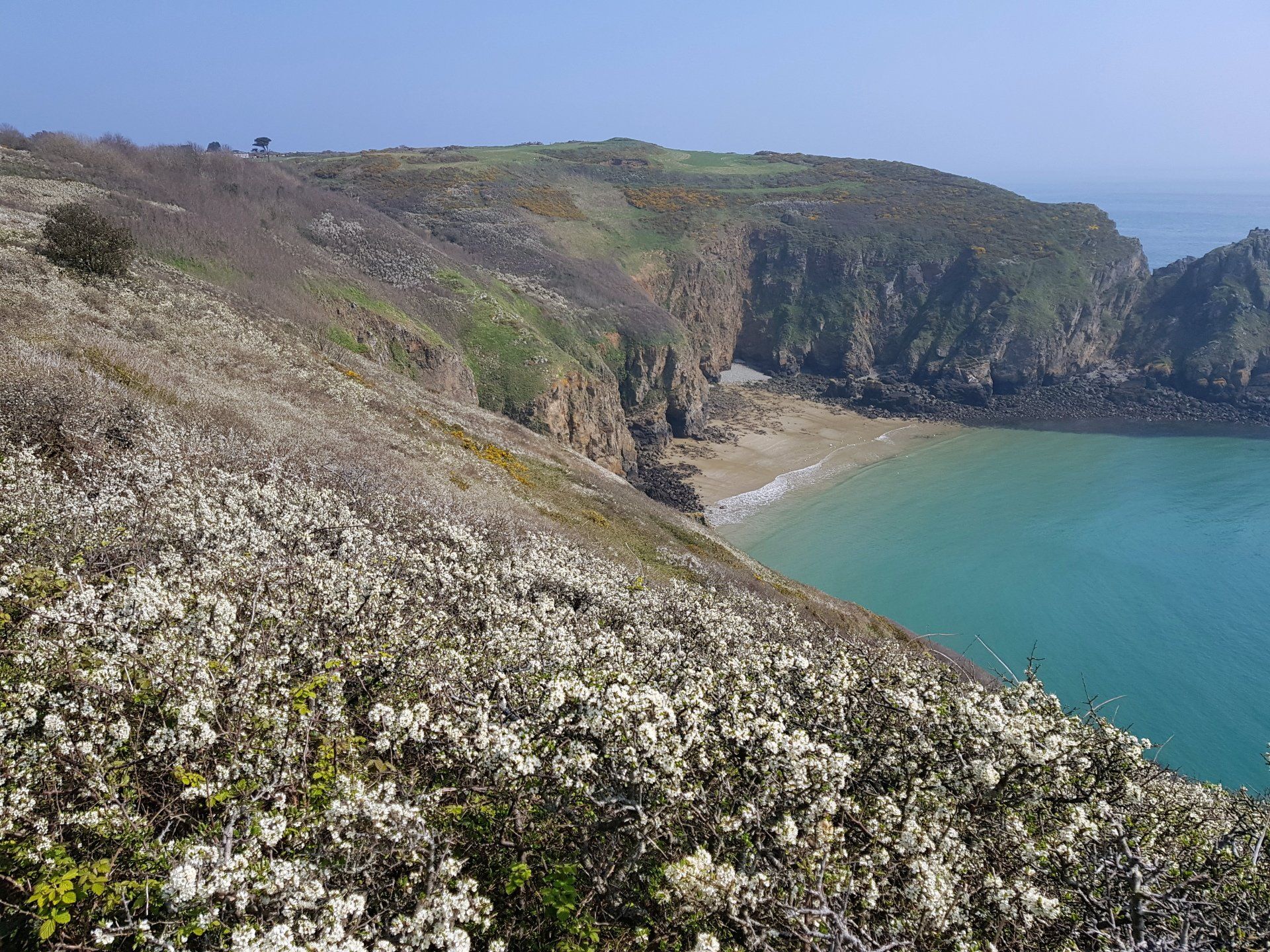
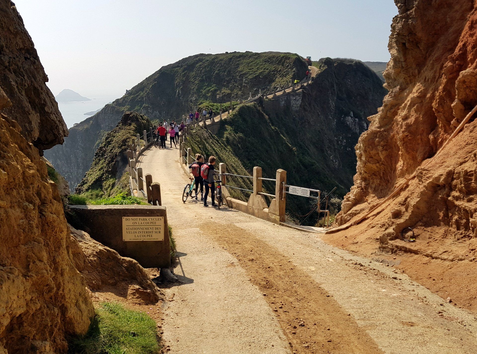
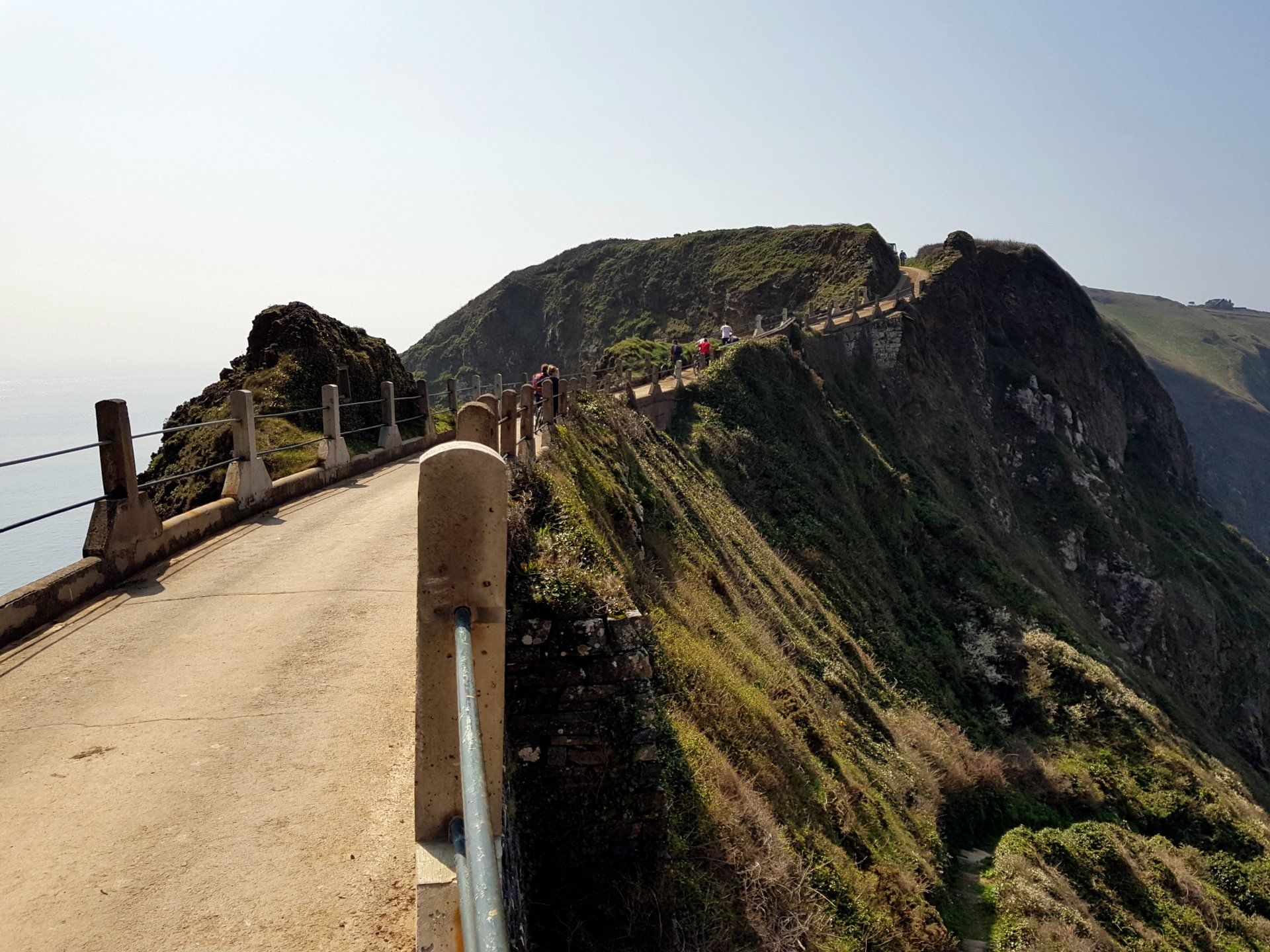
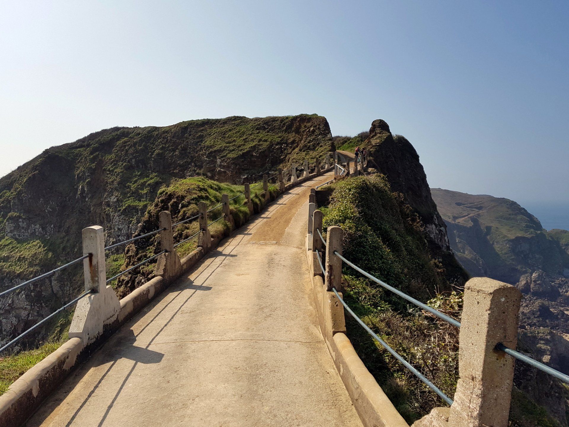
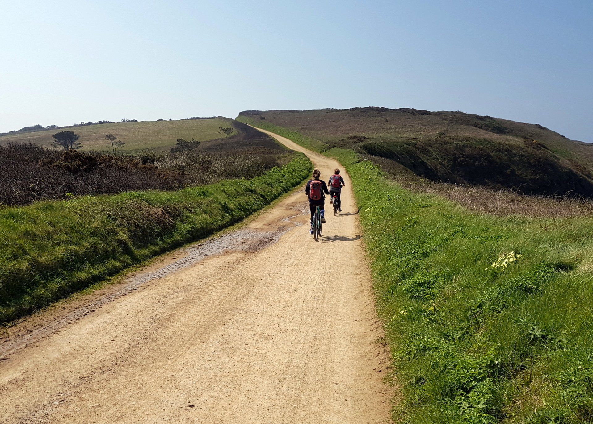
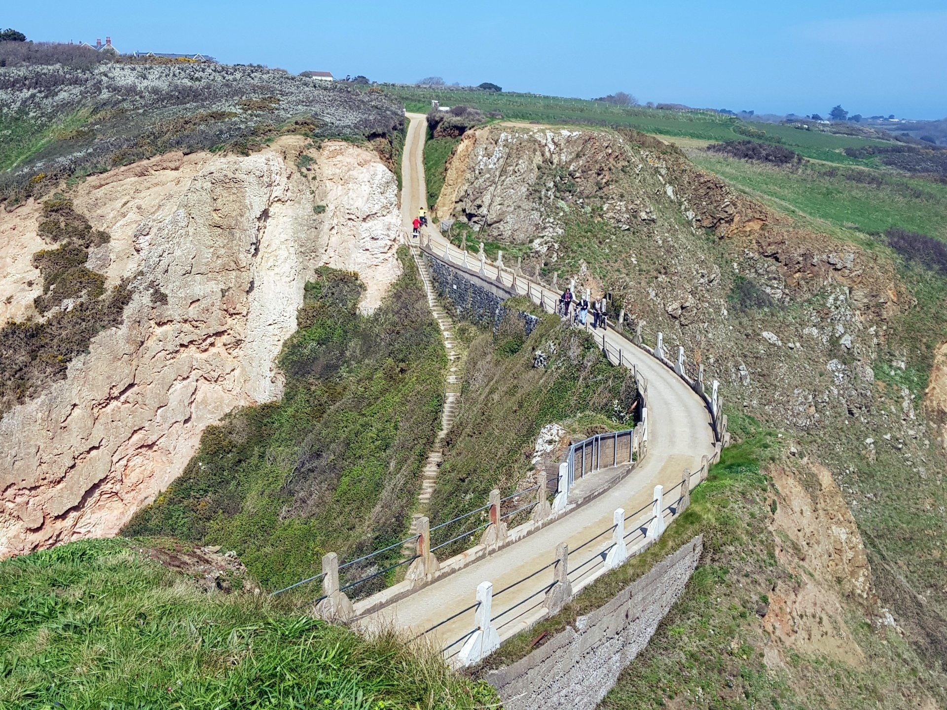
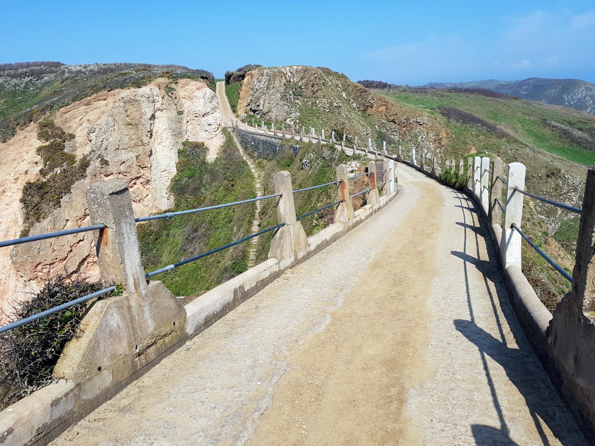
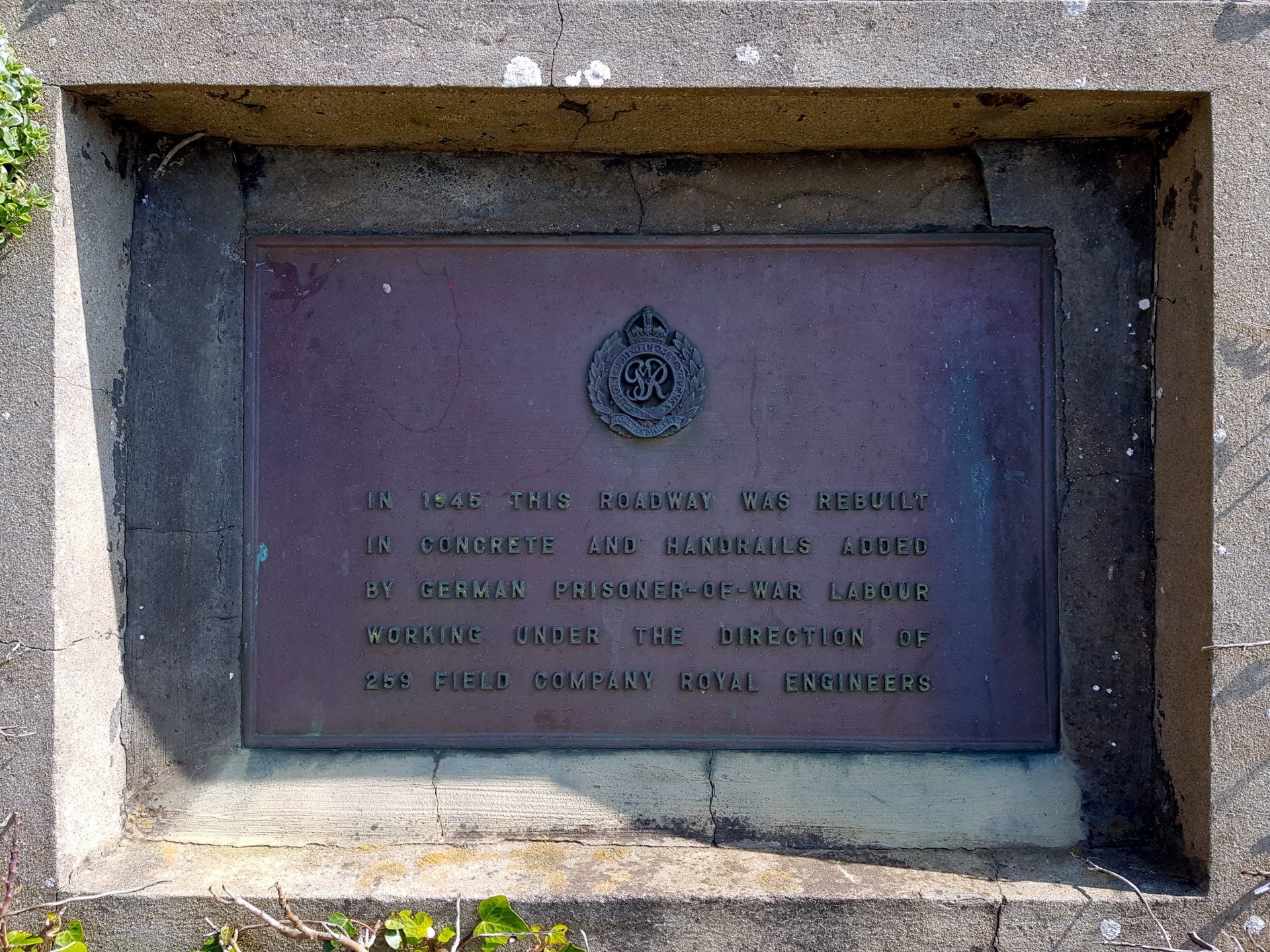
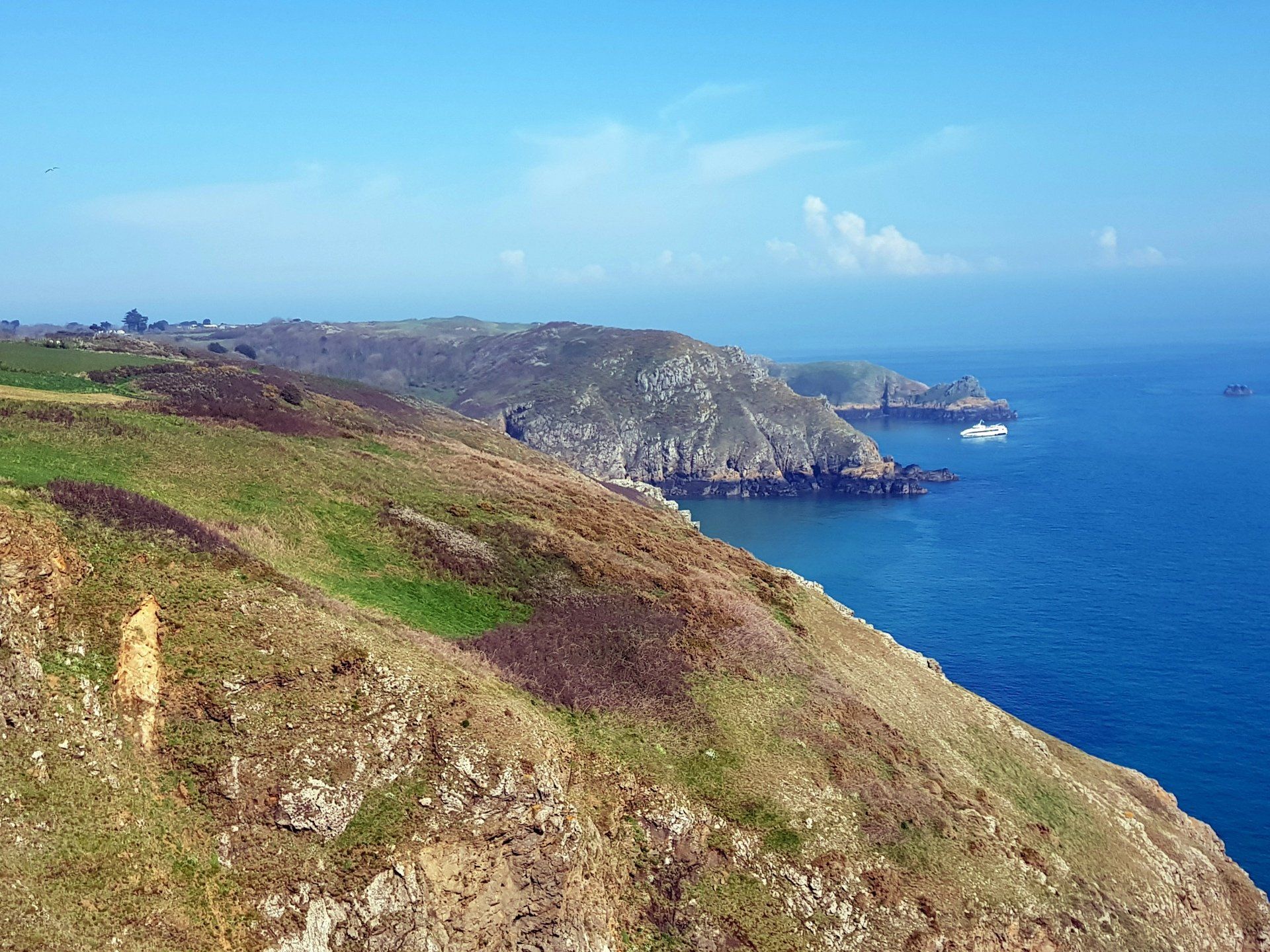
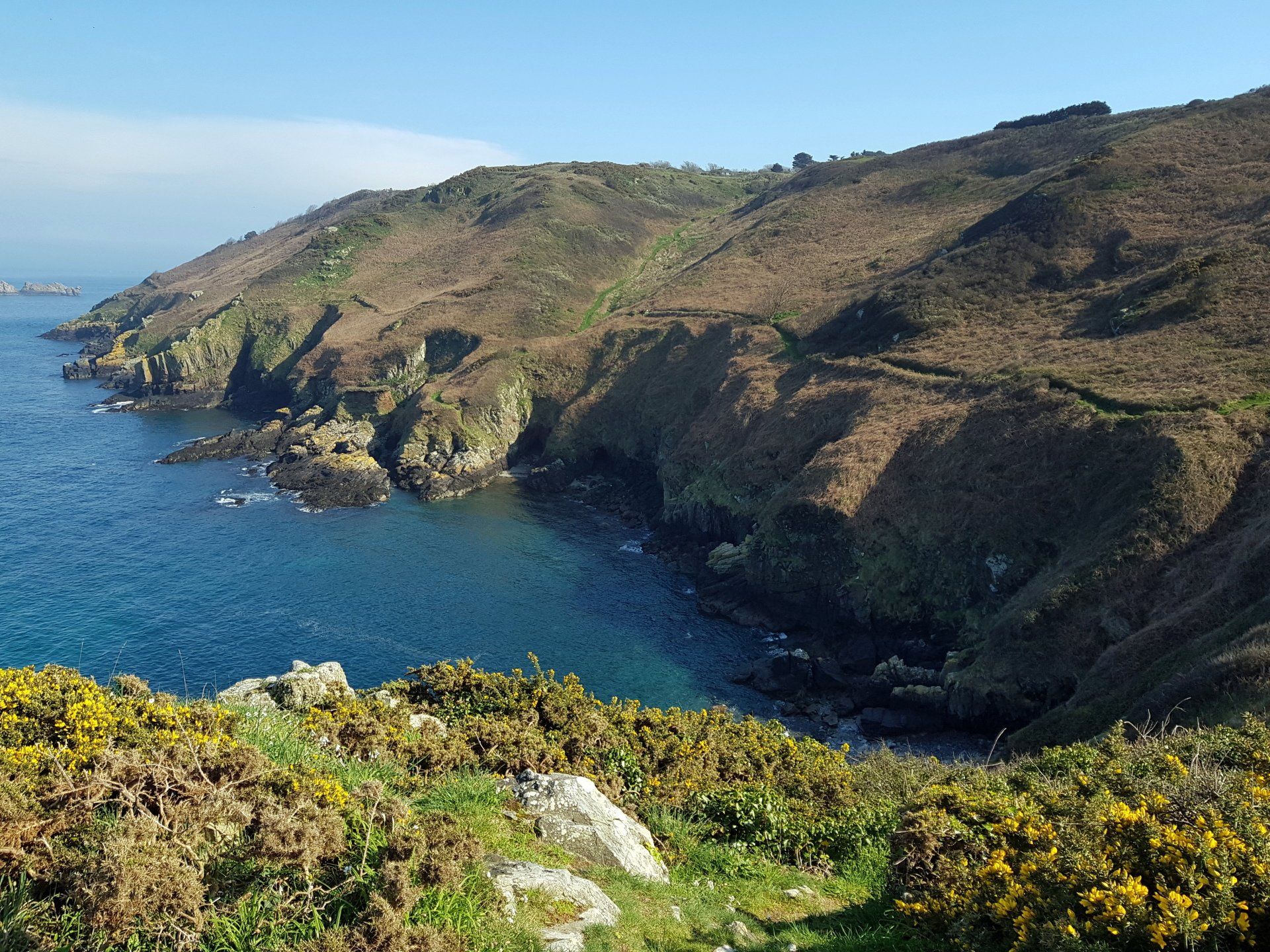
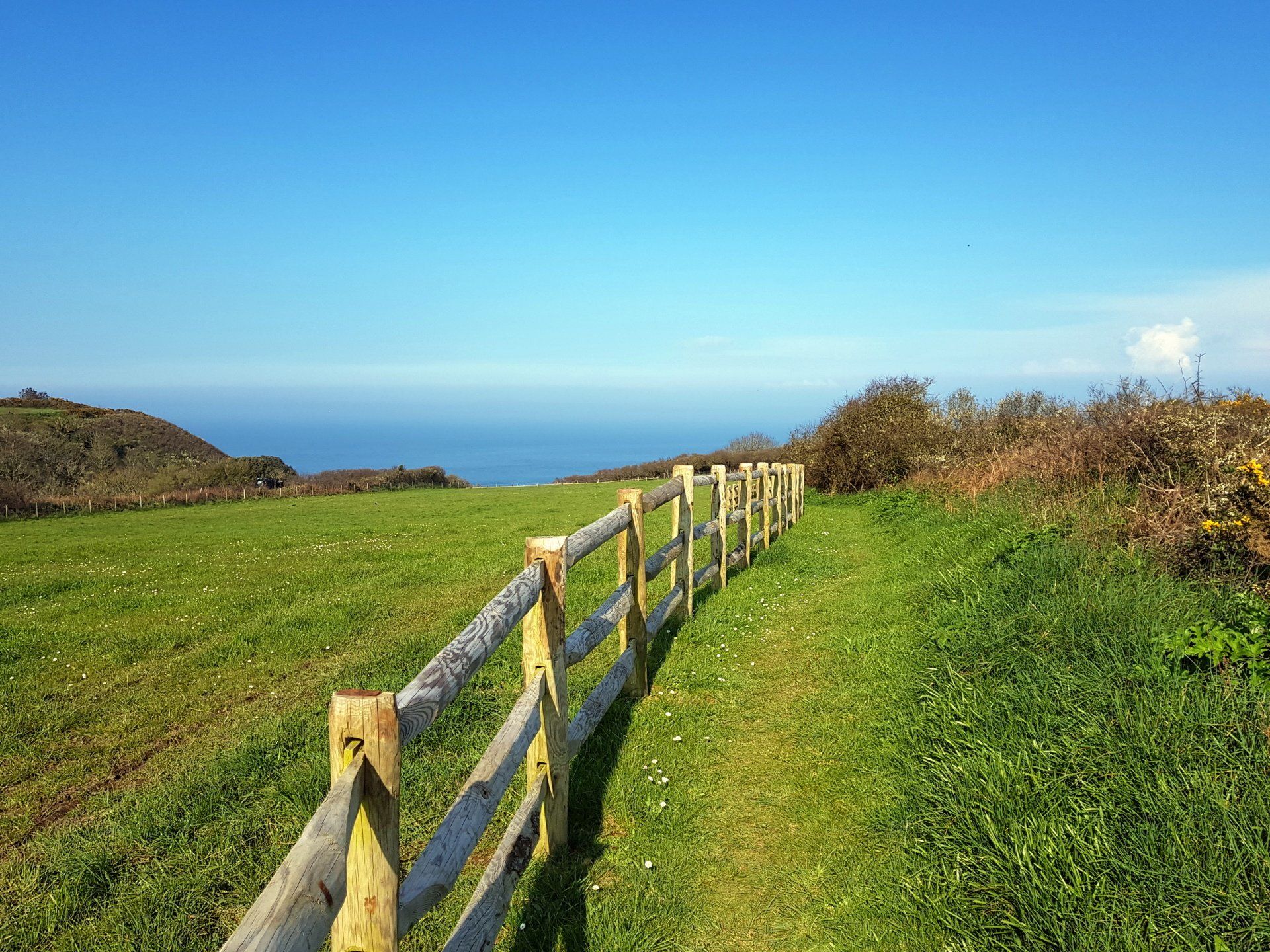
From the cliffs I emerge onto the road (this being a Sark road, so very loose description!) near La Coupee and for the first time since leaving the harbour I come across other people, mostly on bikes, which is the touristy thing to do. I cross over La Coupee into Little Sark. This is an iconic crossing with amazing views all around, but also one with some history, again linked to WWII, when the crossing was built by slave labour. I am tempted to descend the (very steep) steps to La Grande Greve beach below but lack of time (and probably a lack of stamina!) suggest wisest not to.
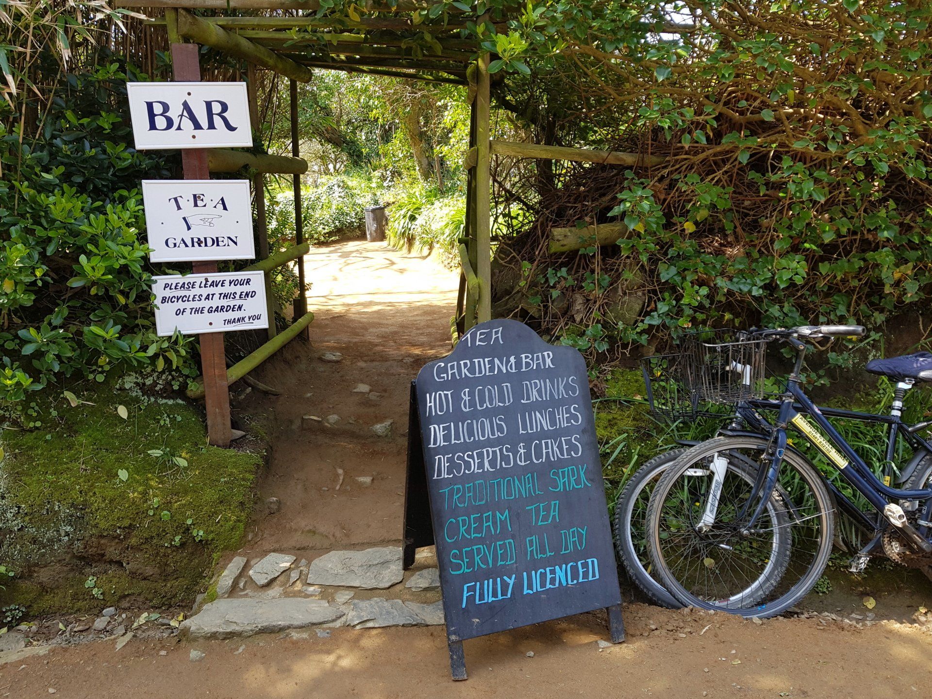
A walk of close to a mile along the road from La Coupee brings me to La Sablonnerie and I take my lunch in the tea rooms there, this including a very refreshing pint of cider.
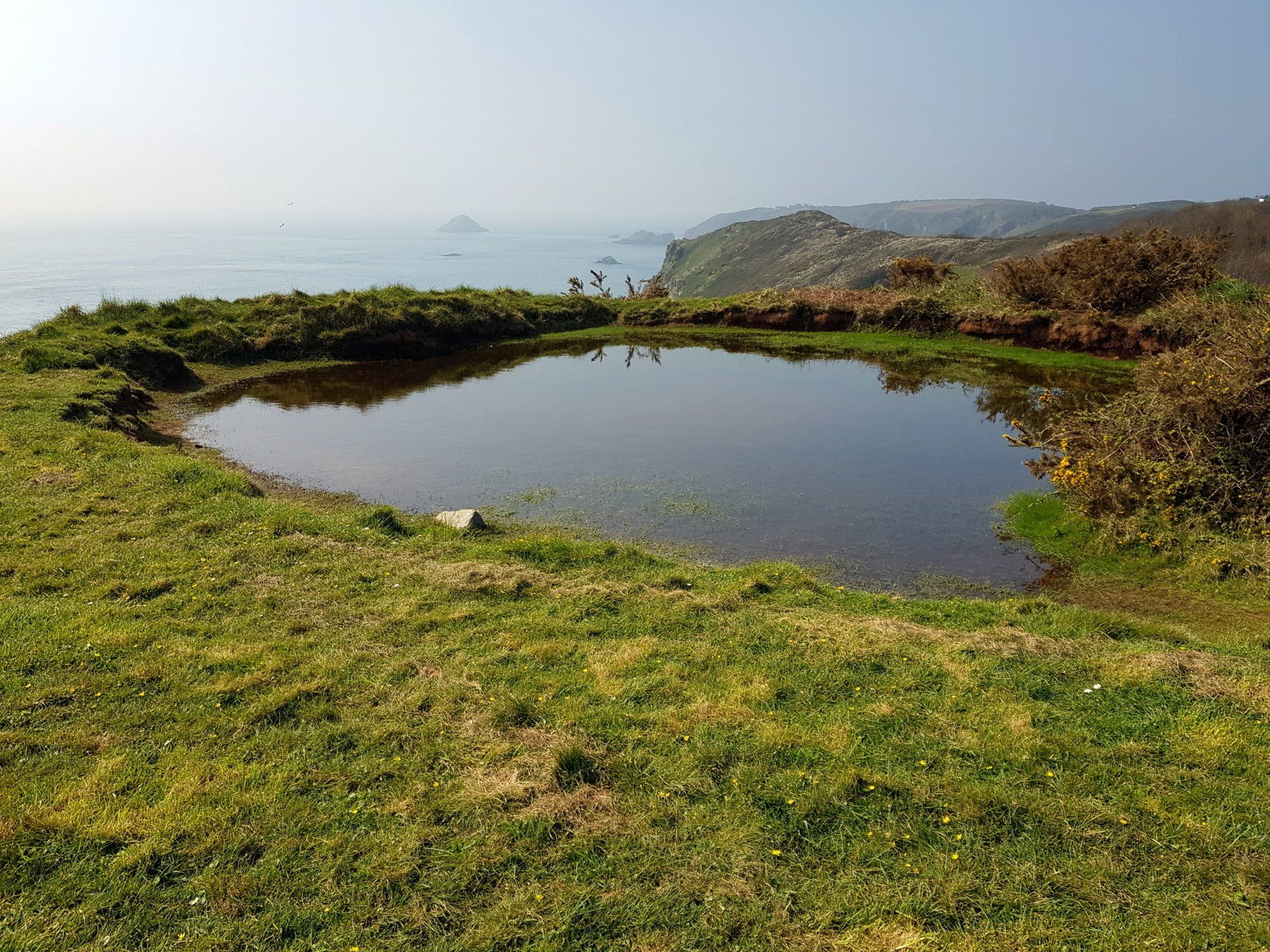
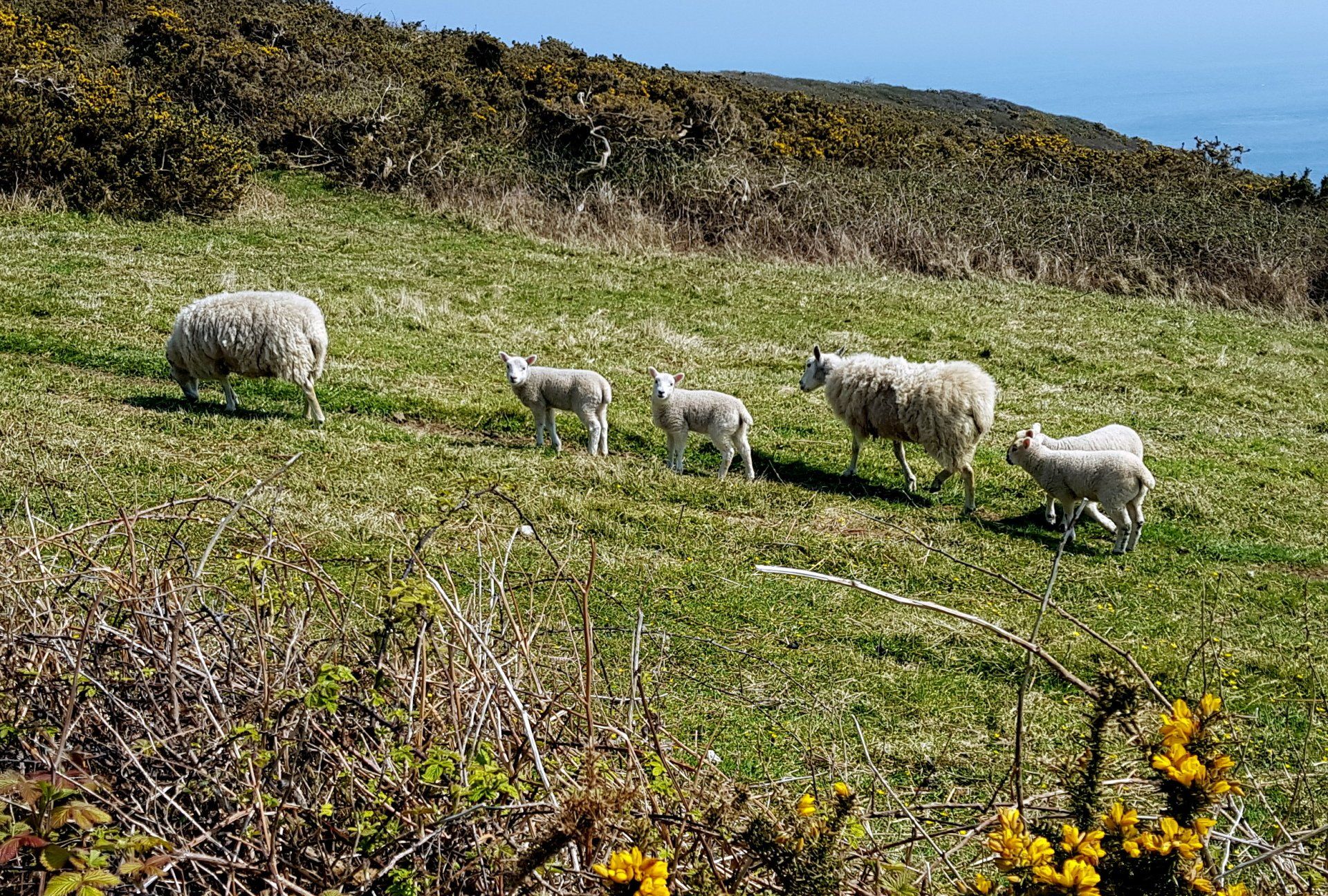
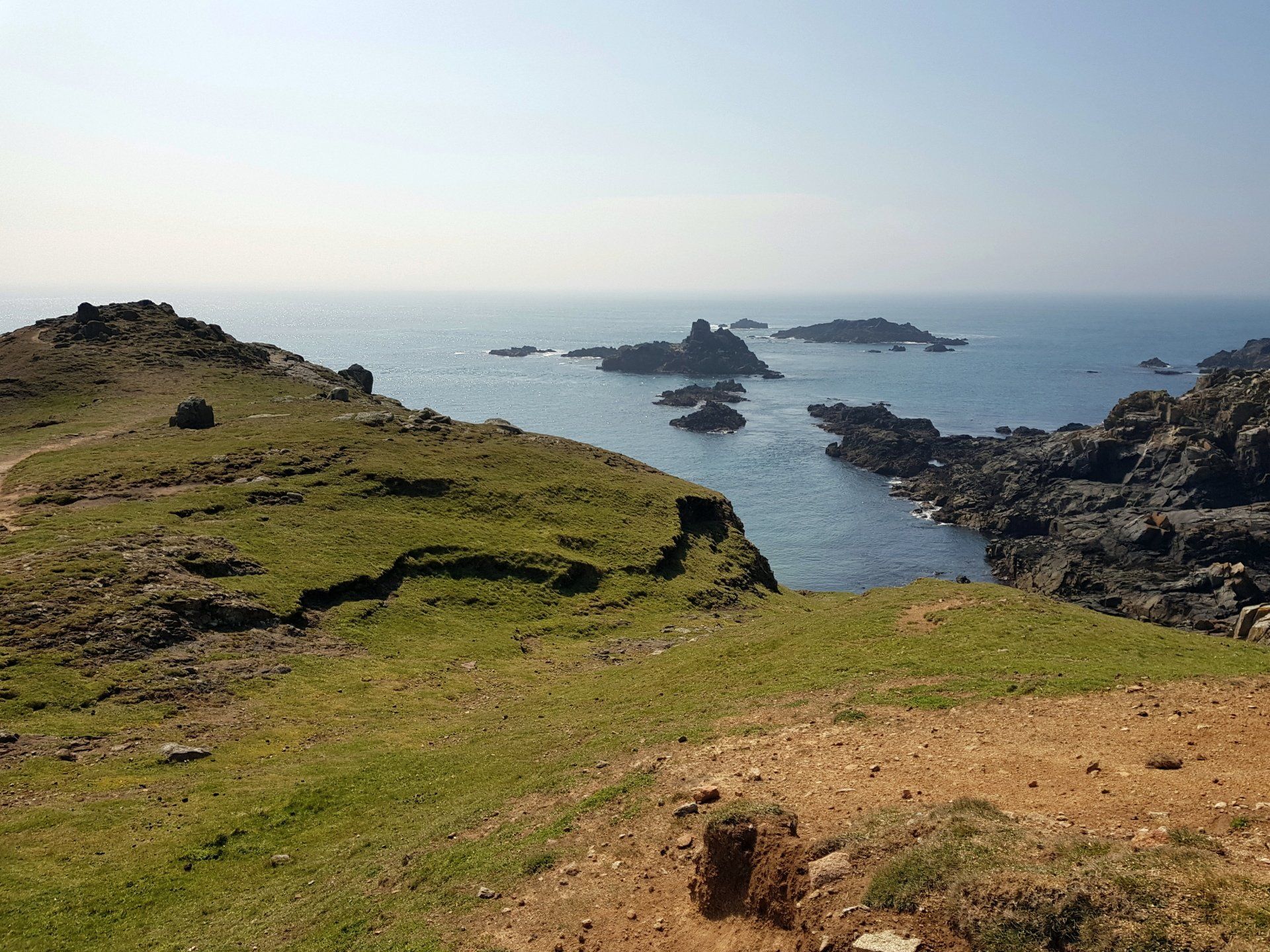
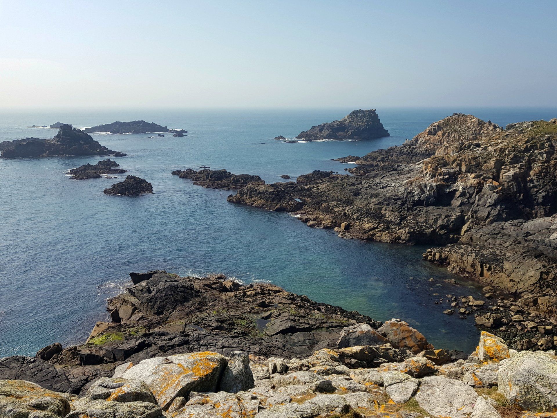
There is really only one road through Little Sark, ending shortly after La Sablonnerie, then there are rough trails which go around the headland that forms the most Southerly tip of the Island. I find the start of the trail and traipse through the grassland, sharing the space with the grazing sheep and lambs, soon reaching the end tip, allegedly where the “Venus Pool” is, although I am not sure where (lots of pools though).
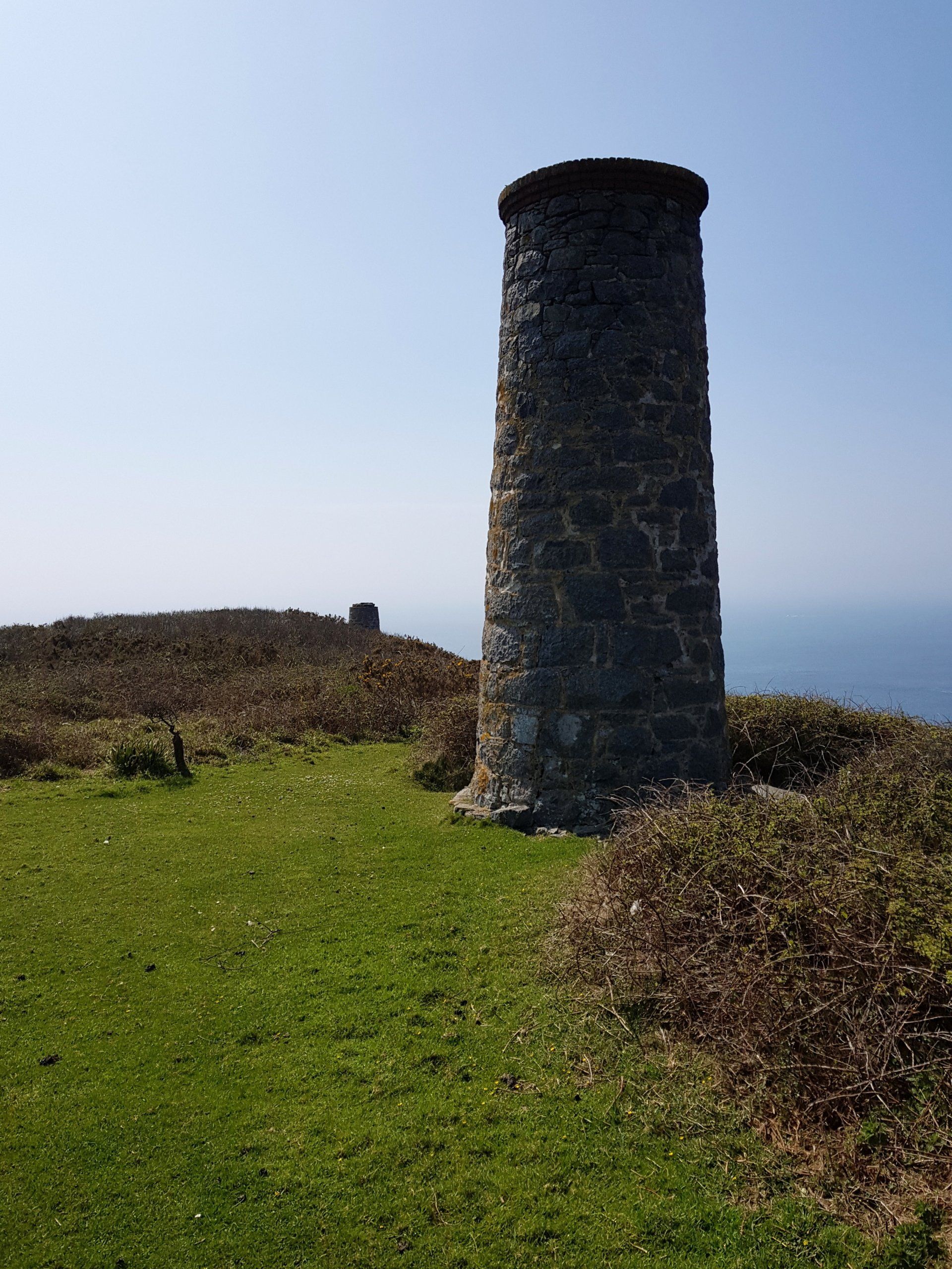
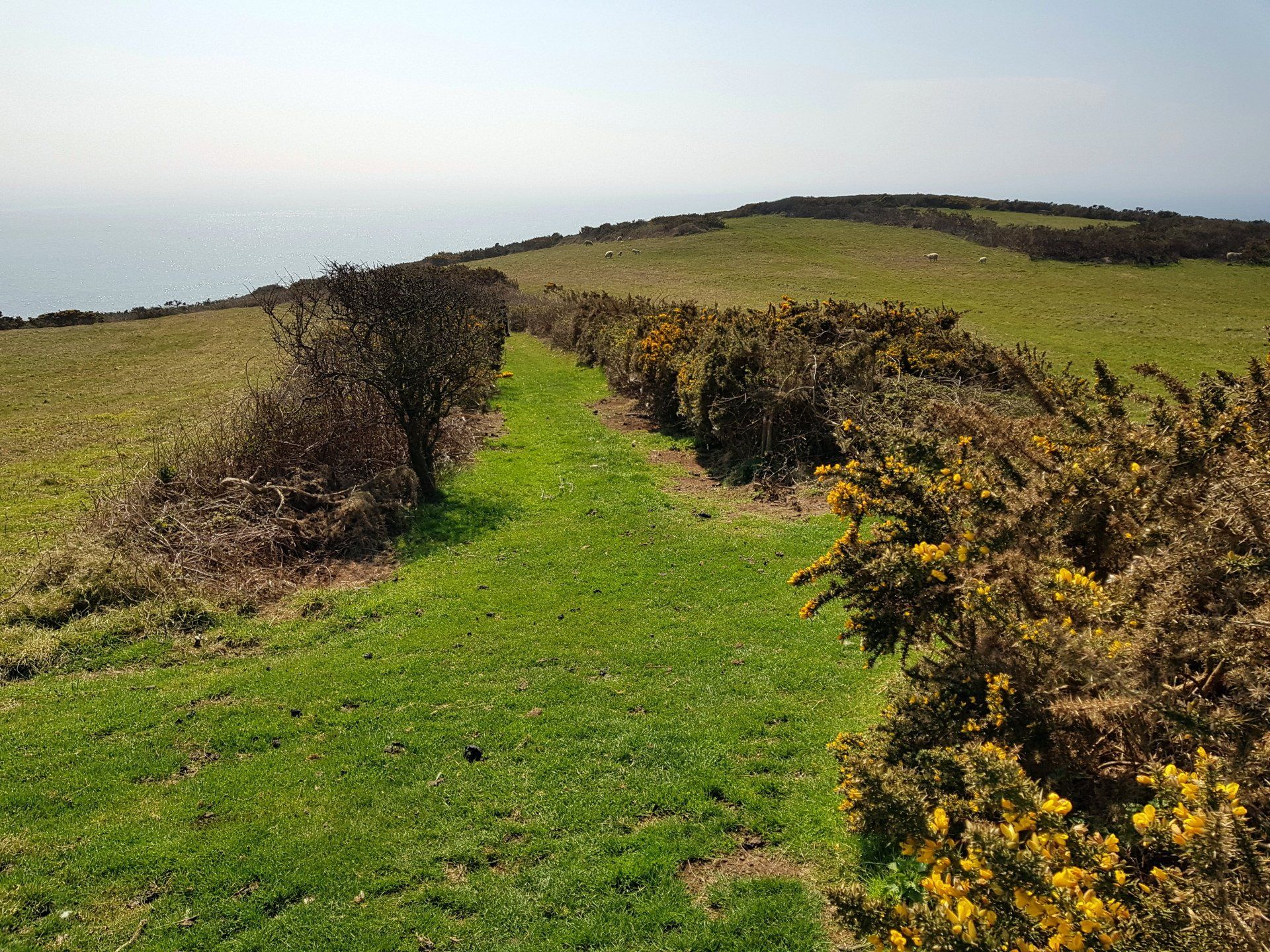
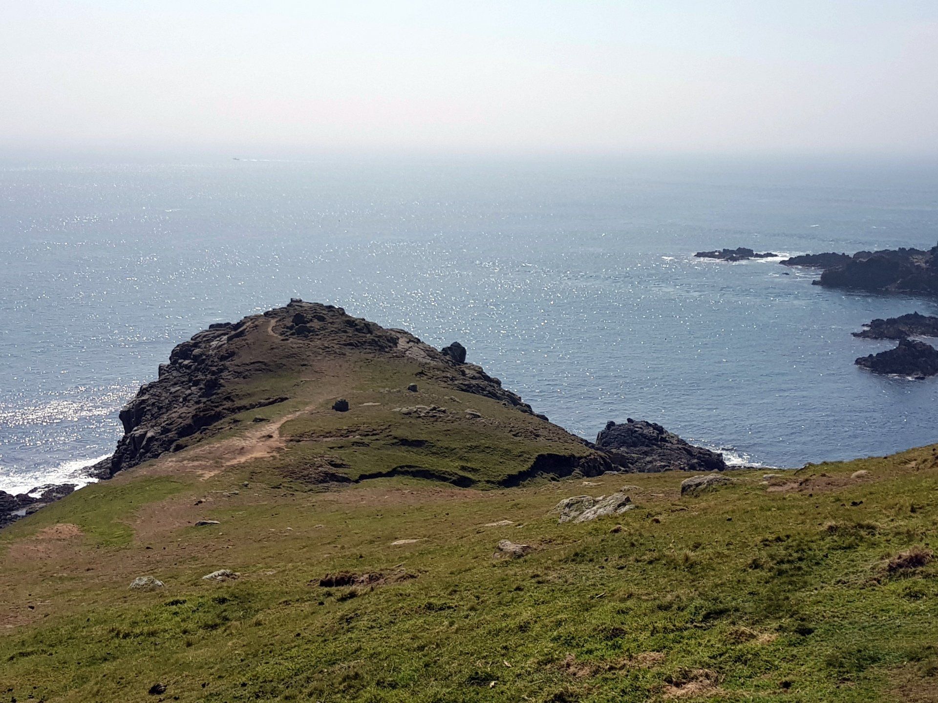
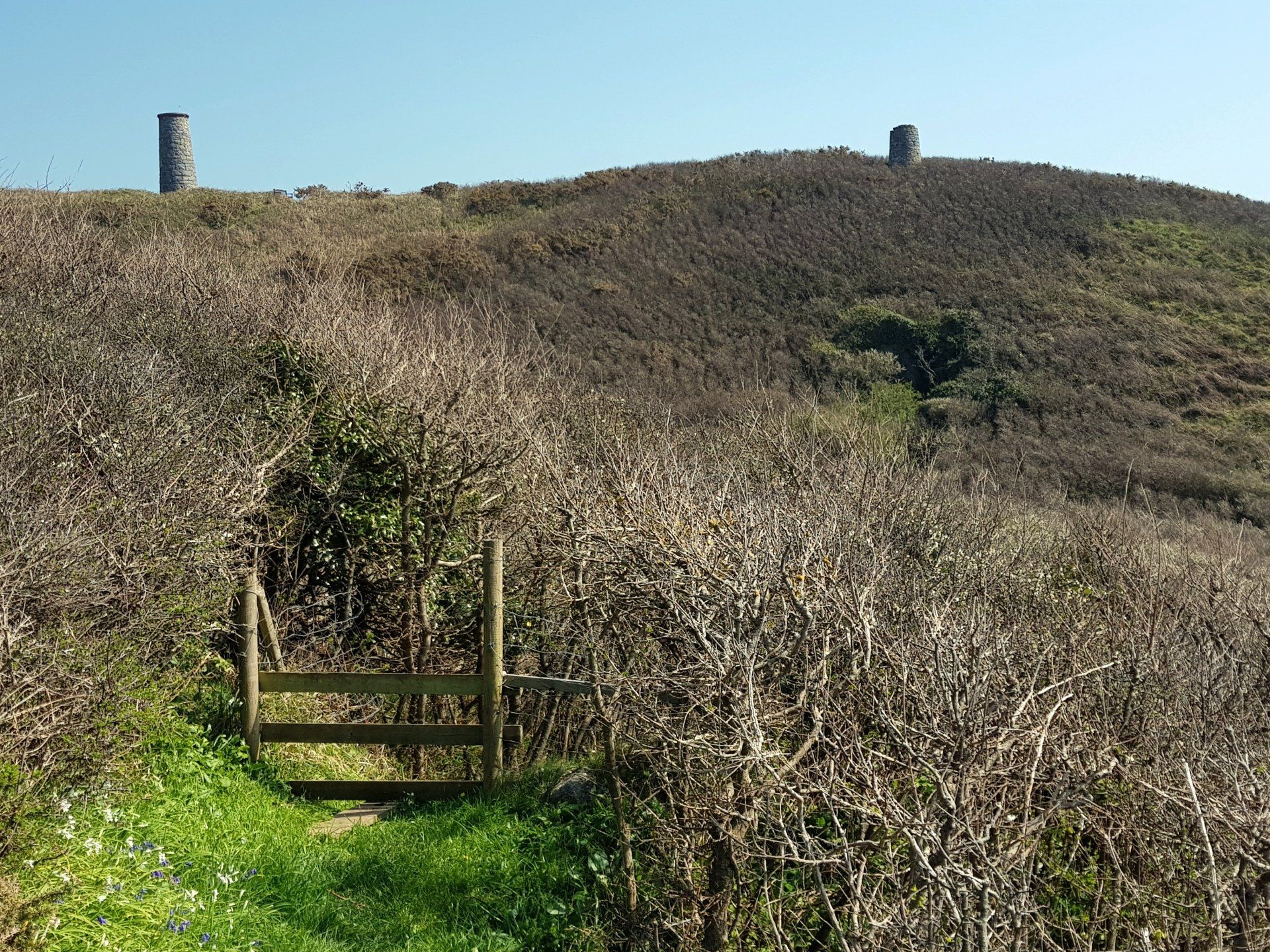
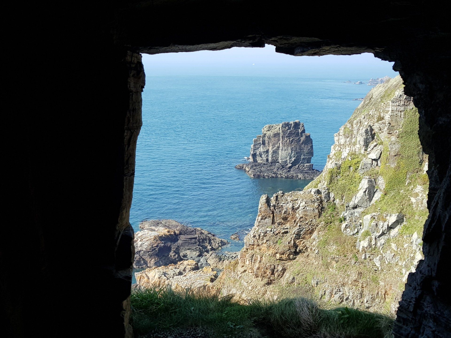
I follow a route which leads through grass, rocks and gorse, and after a bit of confusion in direction (i.e. I get slightly lost – uphill of course – and backtrack) make my way around the headland. There were some silver mines here at one time and the ruins can still be seen, most prominently a couple of towers. This end of the Island is left wild and the rocky outcrops and exposed feel give some dramatic scene.
I complete the loop with return to La Sablonnerie, then walk back along the road and again cross La Coupee back on to the main Island…of course, stopping yet again to admire those amazing views. Did I say I never tire of them?
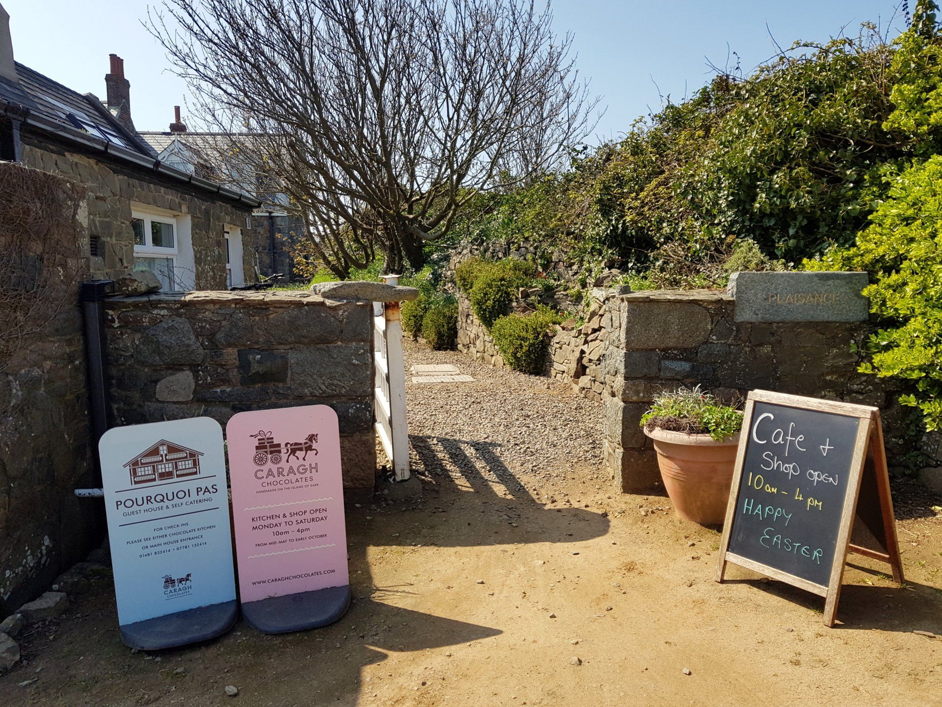
I follow the road, passed where I emerged earlier from the East Cliffs, briefly stopping at the much touted Carragh Chocolates to stock up on water and to enjoy a rich, gooey, chocolate shortbread slice…these things have to be done!
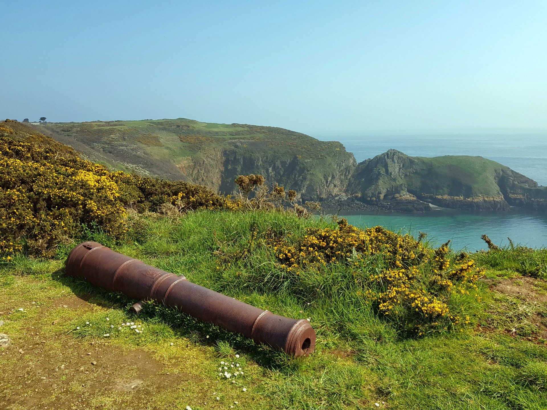
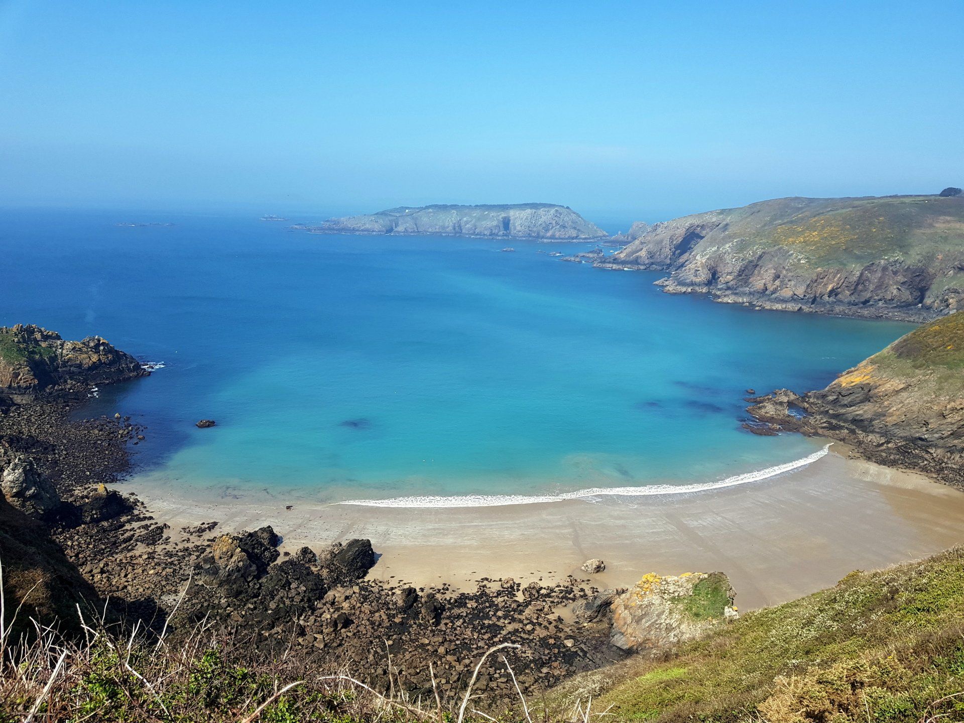
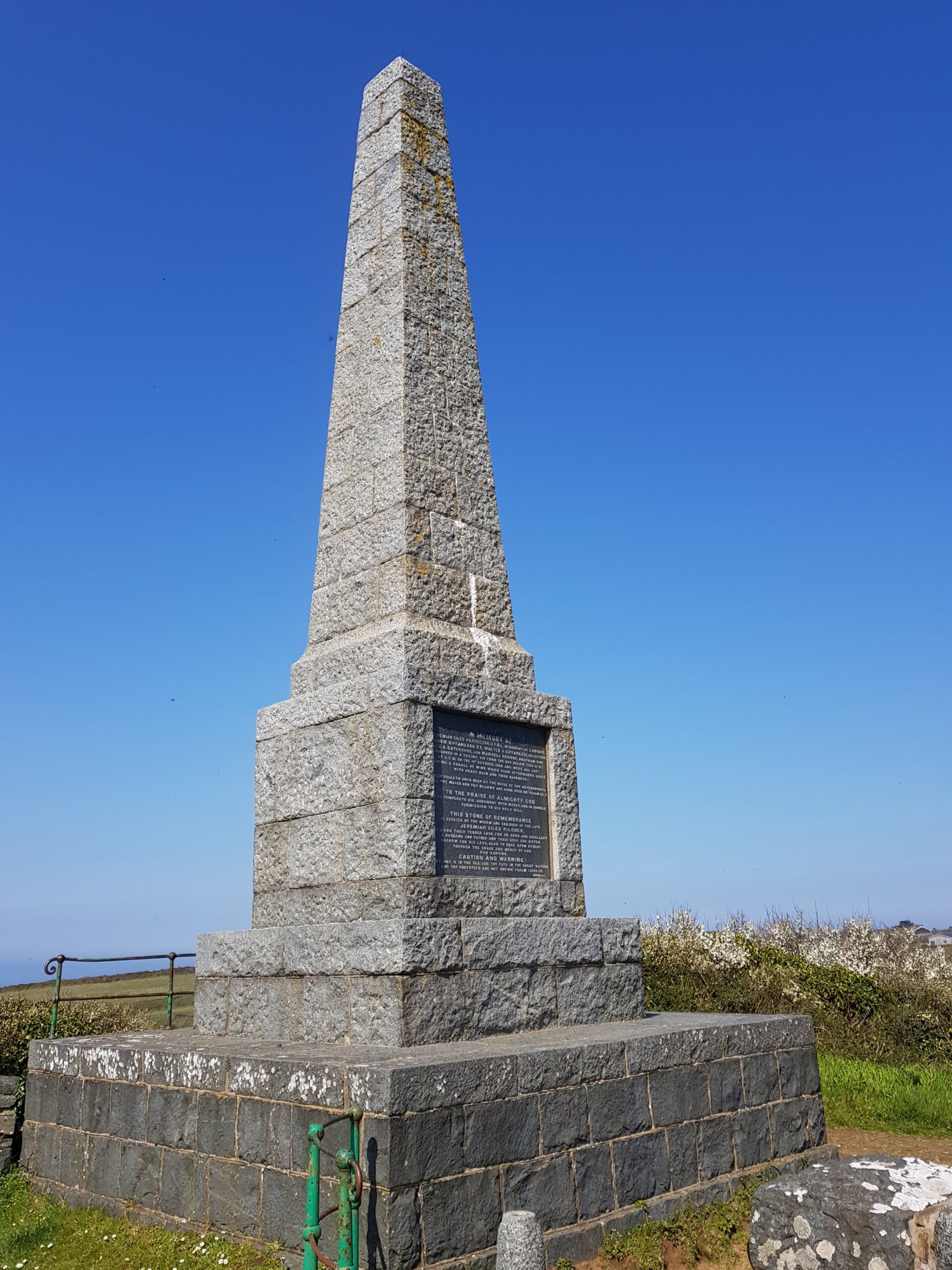
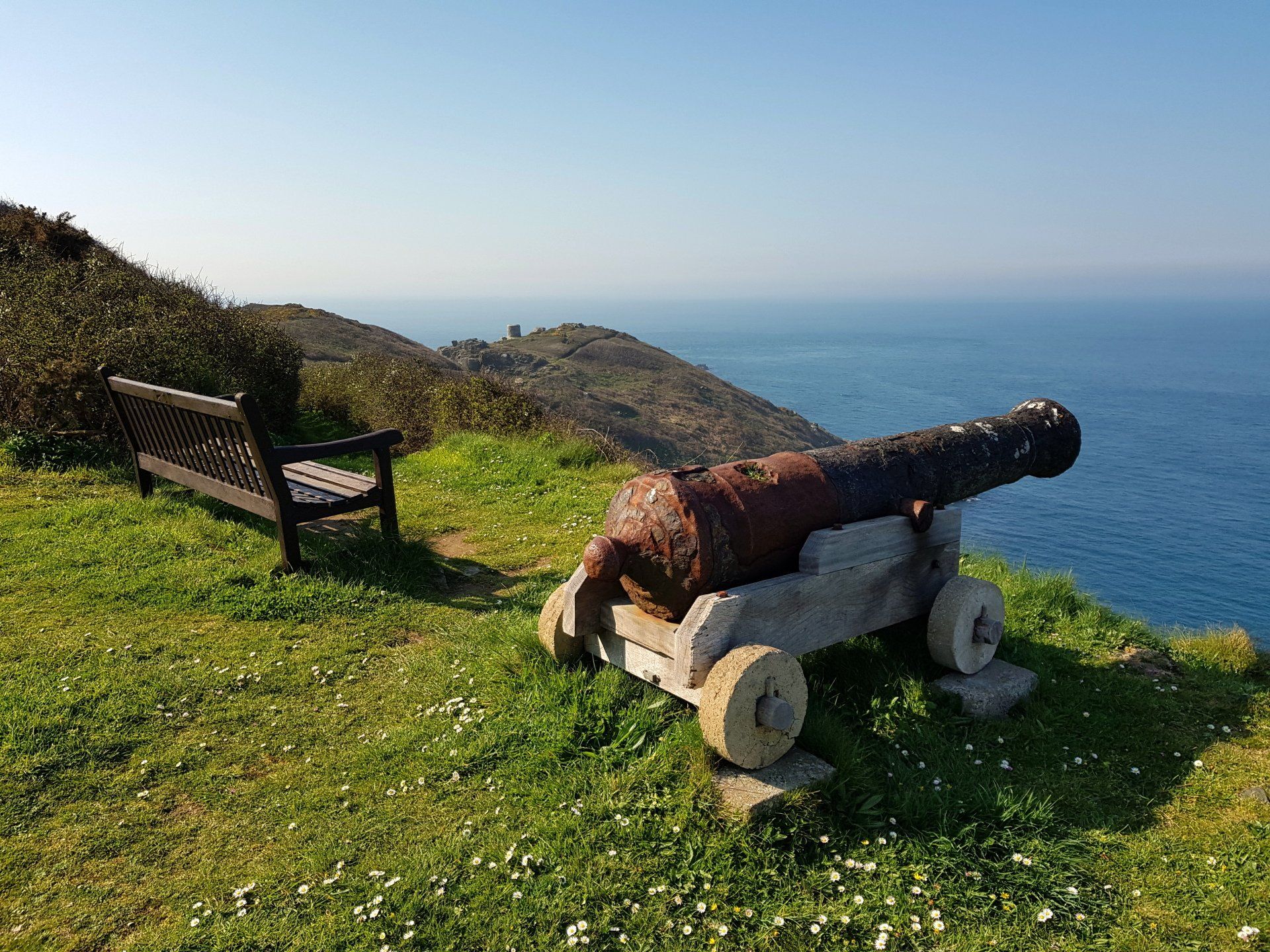
Onwards and I move up the road and then left to head towards the Pilcher monument, this the beginning of the route taking in the Western side of the Island. After a while I can spy the Pilcher tower – a monument to loss of life at sea – and once there take in the views, including the idyllic Havre Gosselin Bay and moorings below. It is possible to walk down steps to reach this – as has been the case with a couple of others – but it is not practical on a day walk.
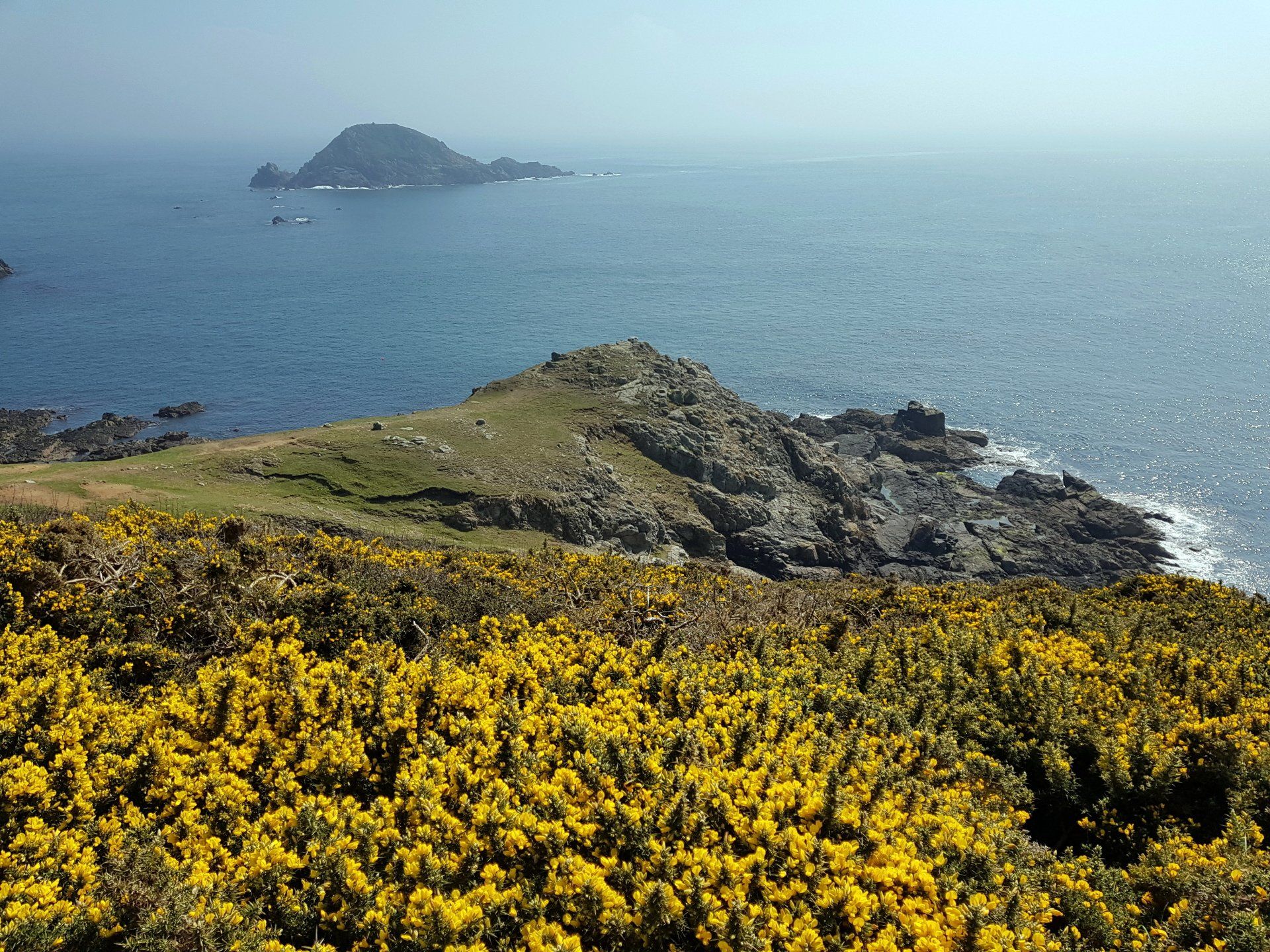
Leaving the monument I am somewhat perplexed where to go, but eventually deduce the route, and enter an area of open grassland and fields of Gouliot headland (which make up a Ramsar protected site) leading to some good views of the neighbouring Island of Brecqhou across the Gouliot passage. I can make out Herm and Jethou in the background, albeit slightly hazy shapes.
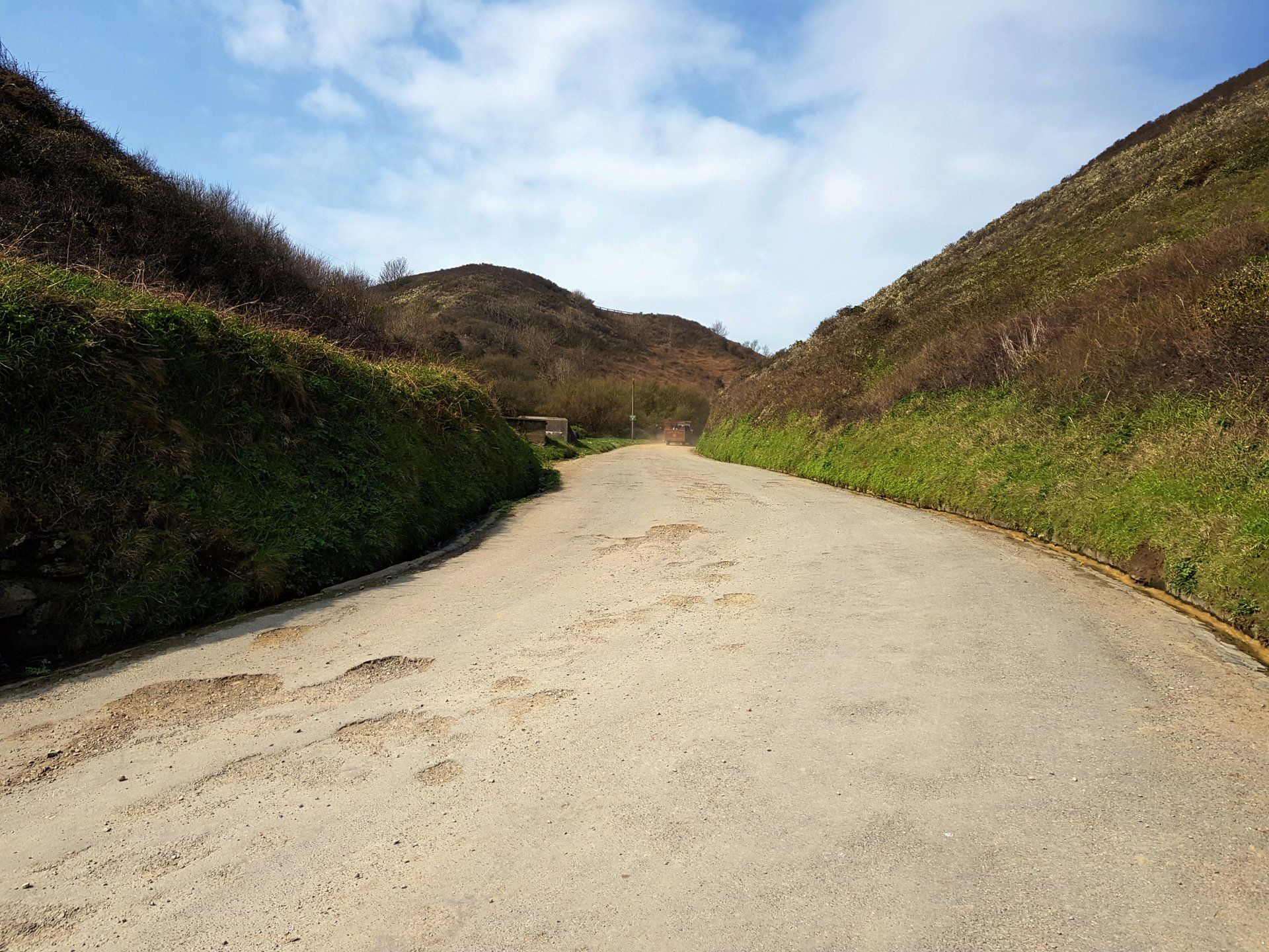
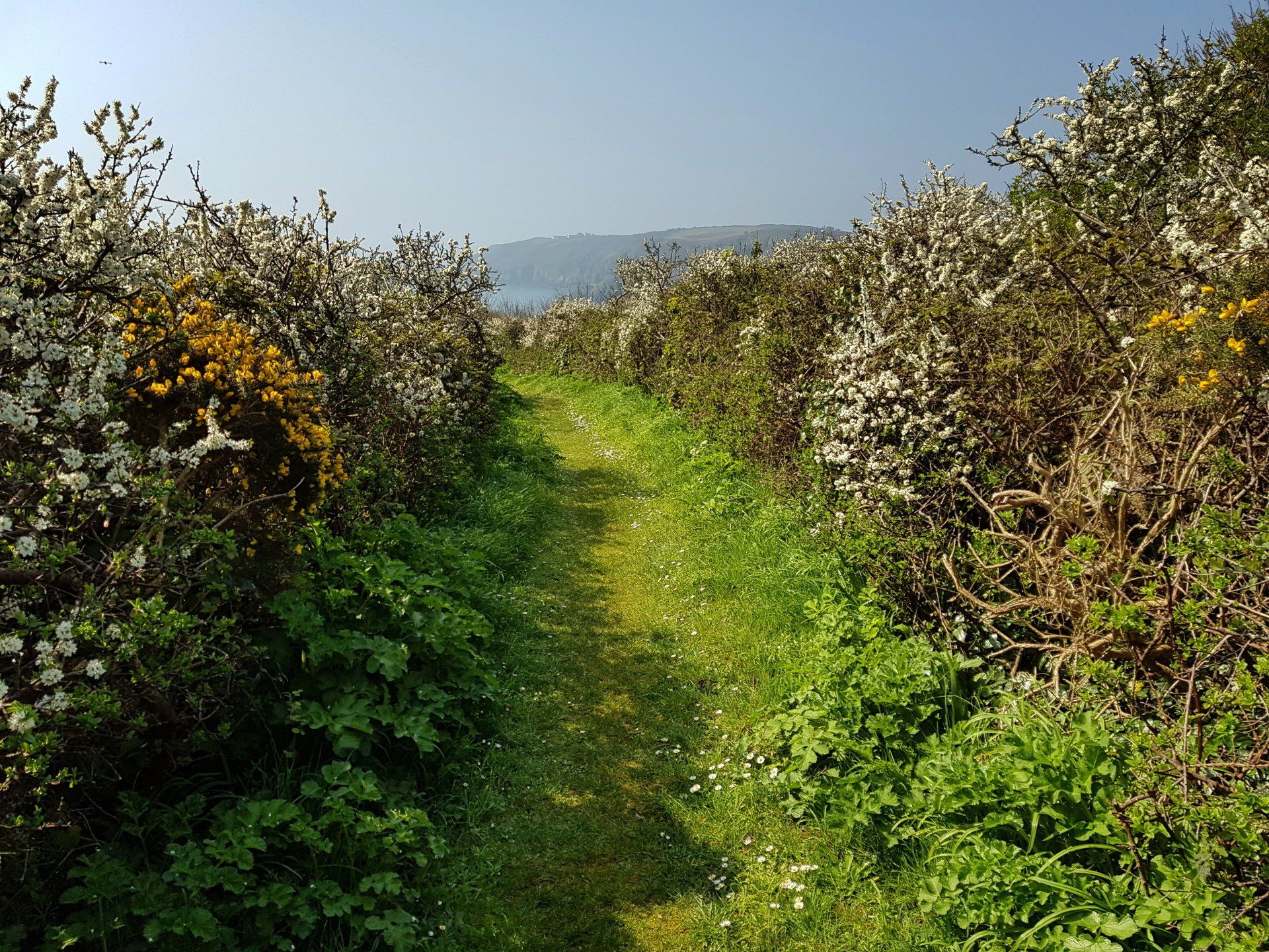
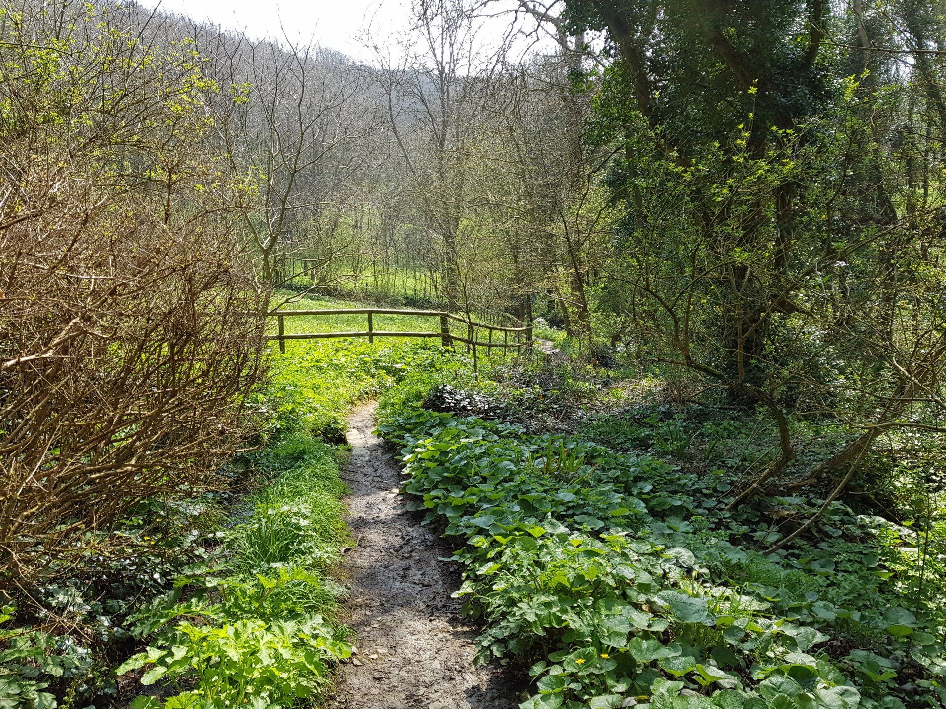
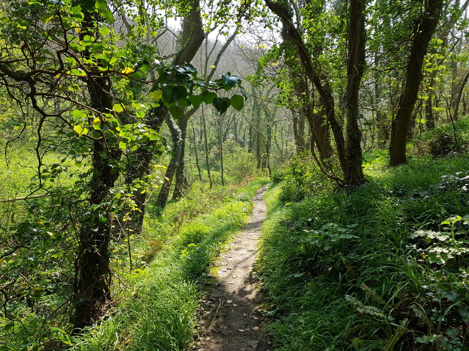
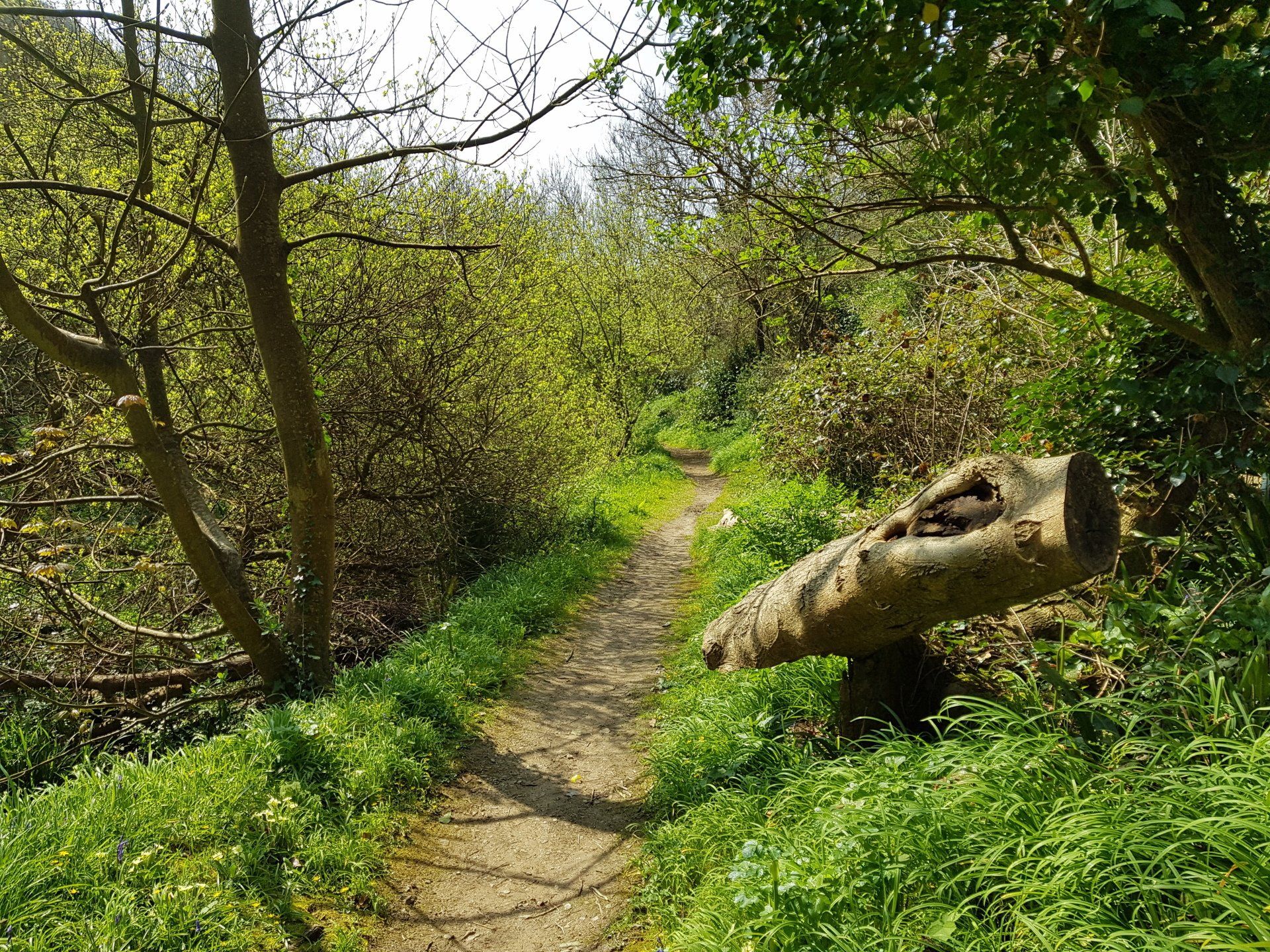
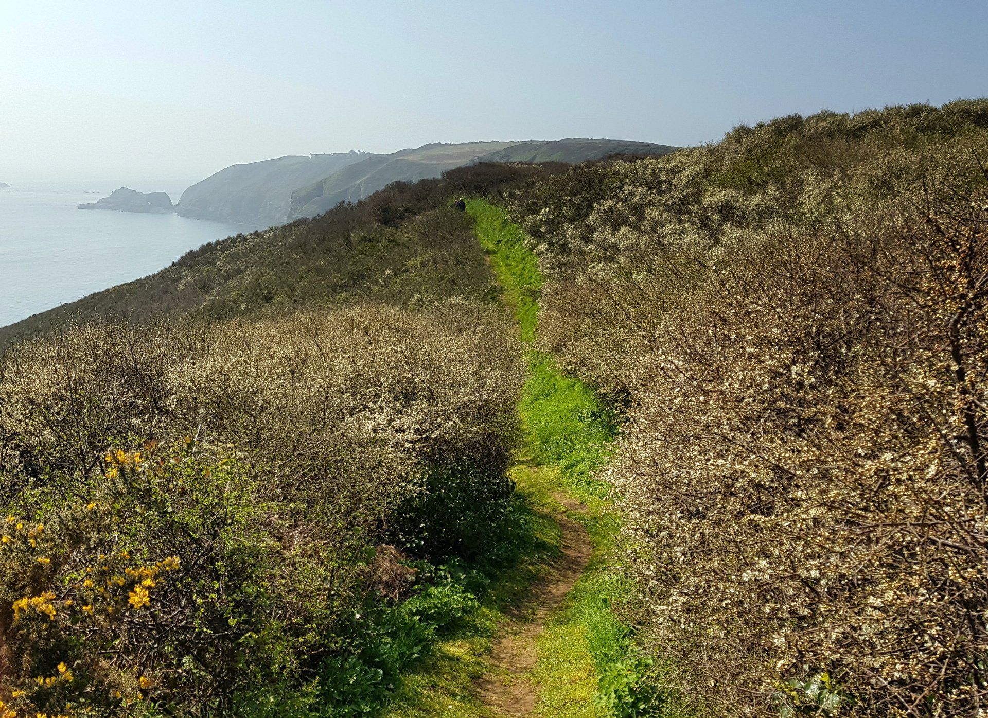
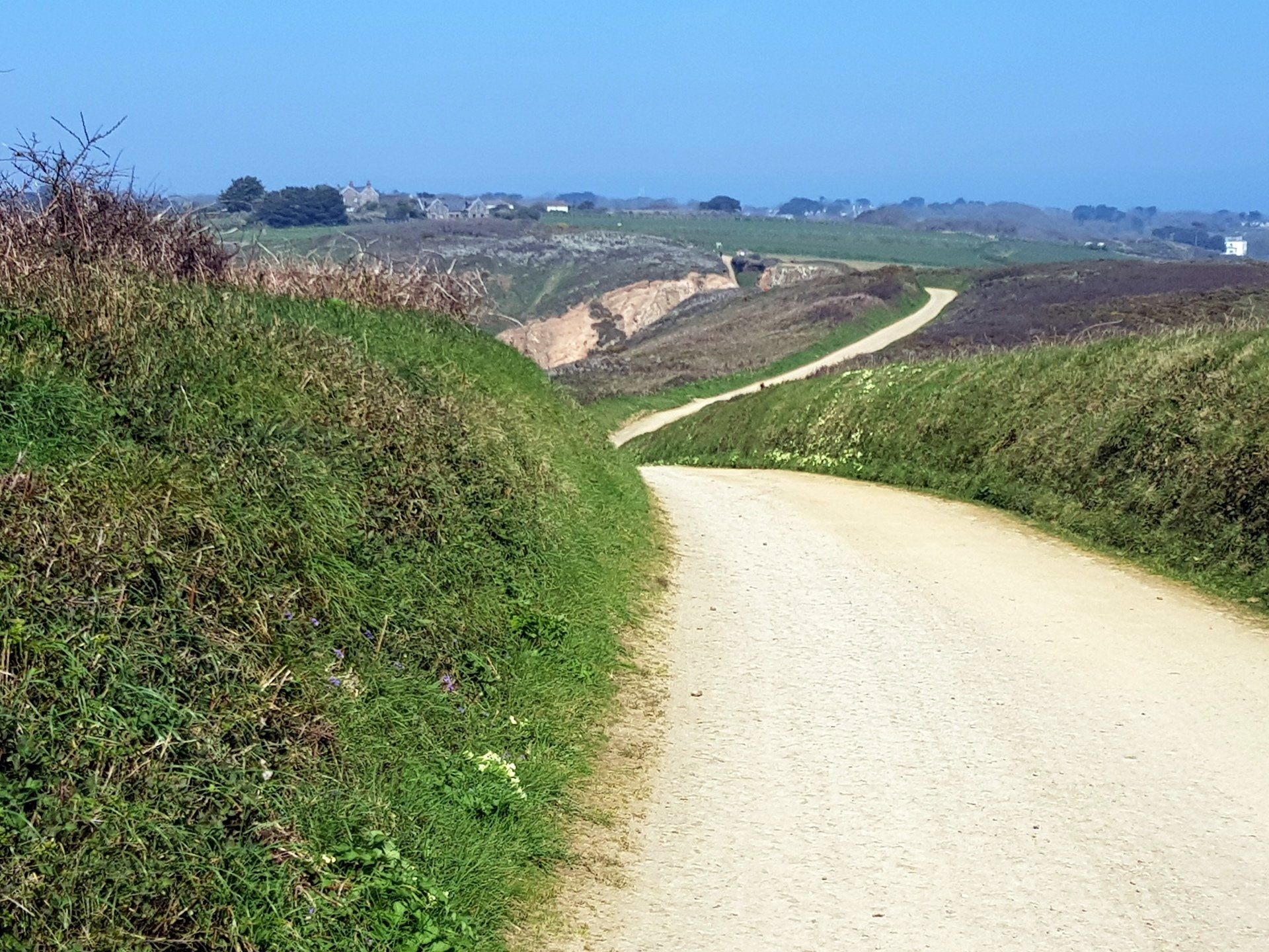
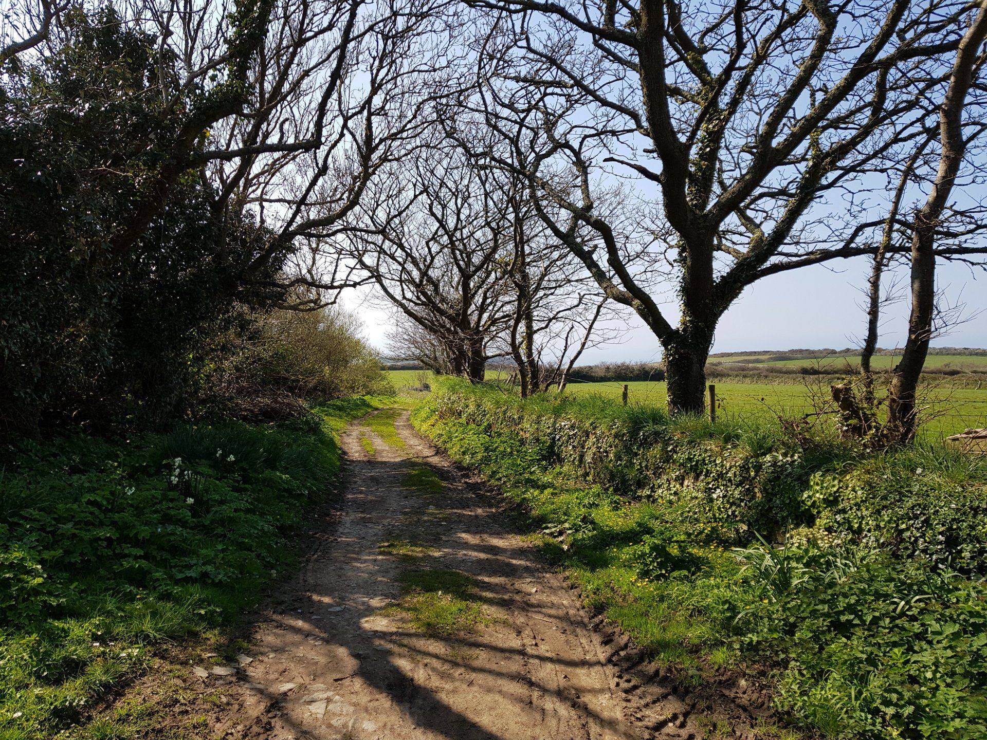
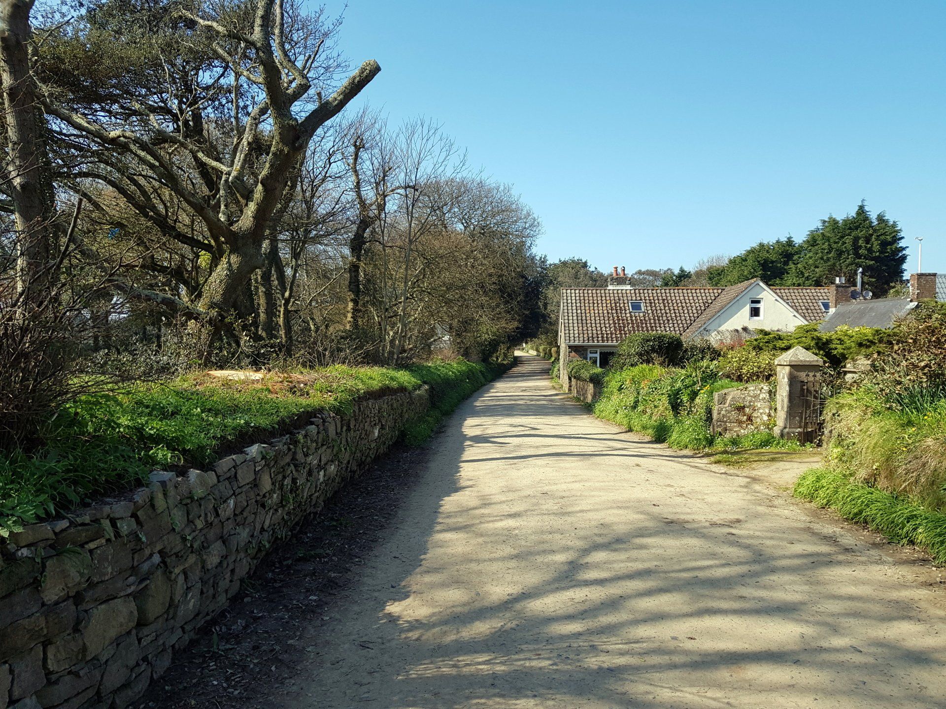
The route moves through farm land and is a bit tricky to follow but I make it back to the main roads in the centre of the Island and these lead up to the final leg in the North. In this section of the walk, that branch network is much more prominent than on the East coast with the need to follow roads to the outer points and then sometimes retrace. Having said that, the roads are essentially tracks and it is all very quiet, I see few people.
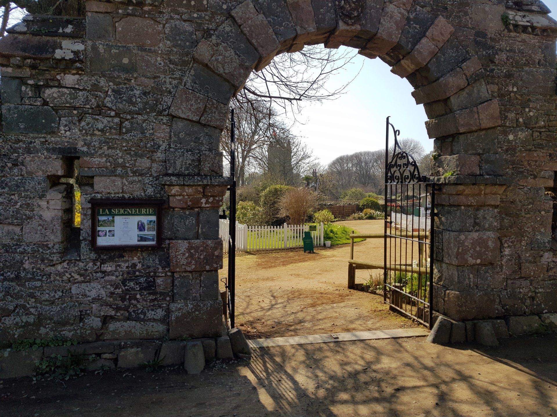
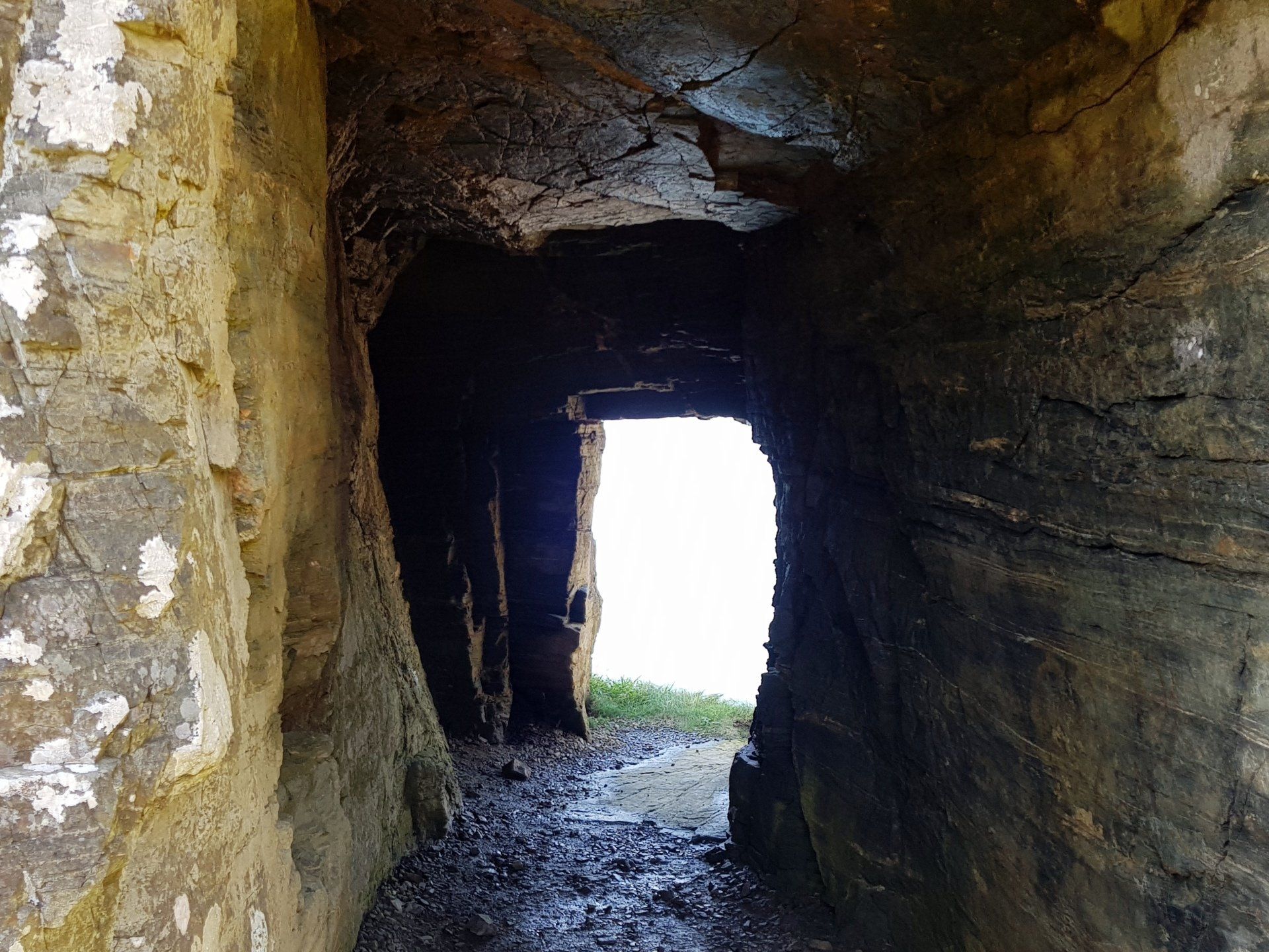
I pass La Seigneurie, another interesting place to visit if I had more time, but with a boat to catch I must move on. I do, however, divert shortly afterwards as I decide to visit the “window in the rock”, an interesting, if not entirely necessary, experience. It is what it says it is!
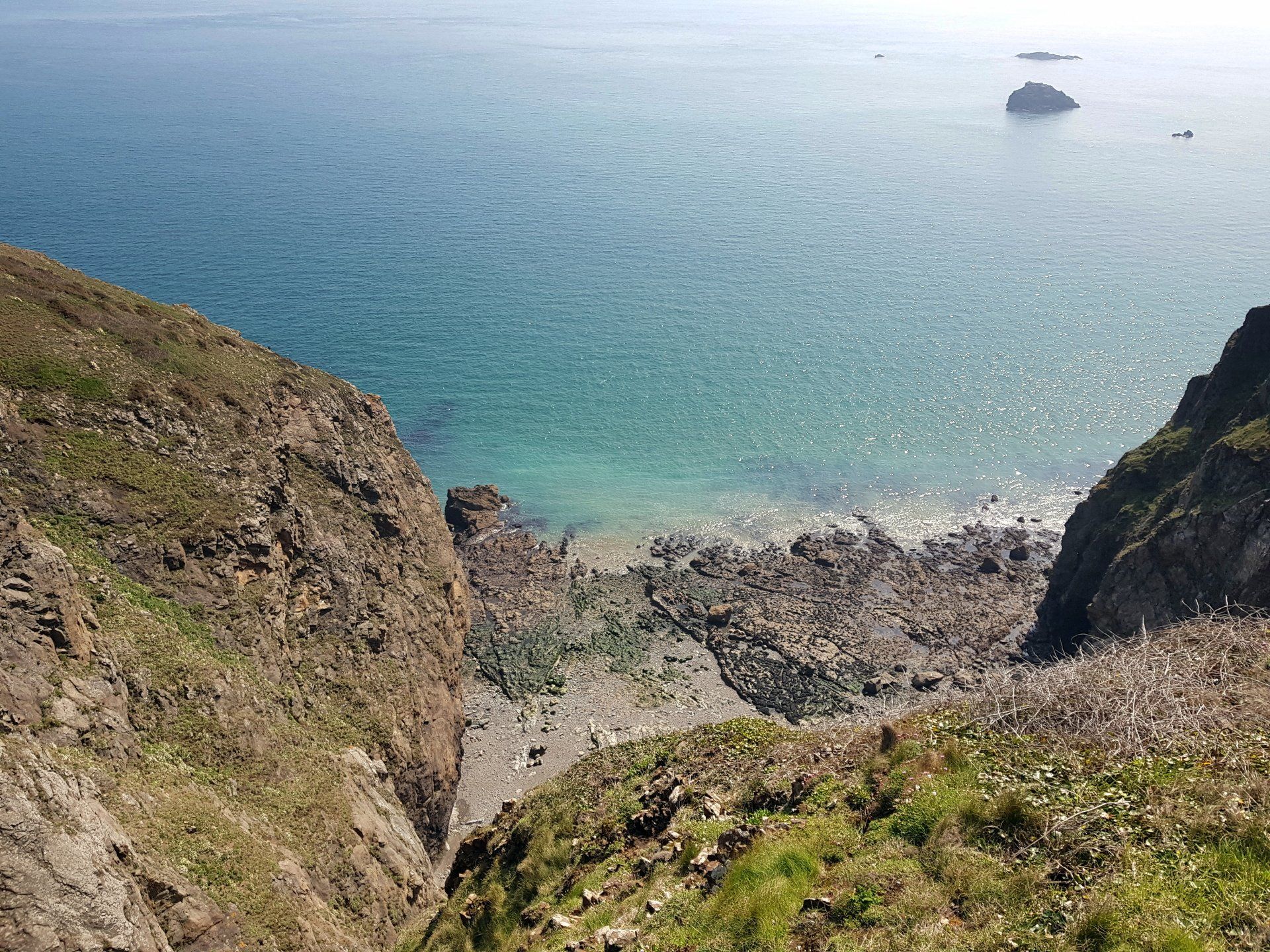
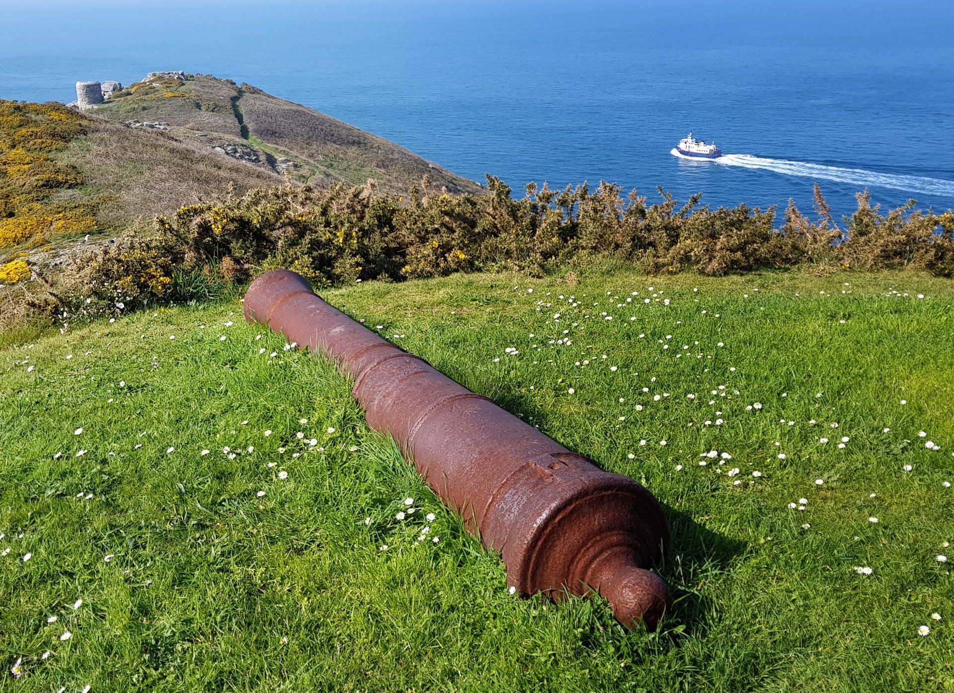
The end of the road brings me to Eperquerie common on the Northern point of the Island. This has a lot of trails throughout, and is a bit of a maze. I guess there is a correct route for the CI Way but I am not sure if I take it, in any event I have a good wander about. I am tempted to go to the most Northerly point headland, especially as I had already visited the most E/S/W points, but am conscious of time (don’t want to miss the boat!) so I take in the view from a little further back.
As I make my way along a slightly precarious cliff path, I realise this is probably the sort of thing I viewed earlier from the boat. I follow the cliff edge, which then diverts up and back around to the road at the top. On taking a short breather after a steep stretch of steps I am startled by a bird (pheasant?) noisily erupting out of the bushes right behind me…I think I must have jumped a foot into the air with shock!.
Up the top I rejoin the road and head back to the centre, then turn for the last time towards La Greve de la Ville, which leads me back to the coast, then by cliff path around and back to Maseline harbour. I sit for a while on a bench on the cliff just above the harbour and contemplate a wonderful walk and day.
This is up there with some of my best day walking experiences. I can recall sitting on top of Winshields Crag on my HWP walk, also above Cheddar Gorge on MW walk, both after fantastic days walking and this is similar. There is something about those times – generally amazing scenery, great weather, the tiredness from a full day session, the contentment of an experience lived – that makes them moments to treasure. This might not quite match those other 2 – perhaps they had more unique aspects to me personally – nevertheless, what a day here in Sark.
Stats: 14.1 miles, 5hr 15mins moving, 6hr 13 mins total, Average moving 2.7 mph, 2162 Ascent