CI Way- September
Alderney
Alderney
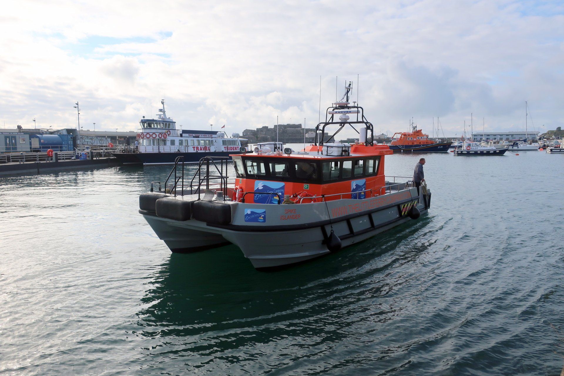
MONDAY 10TH SEPTEMBER 2018: This month, something special for me – Alderney. It is a place I know little about and I am excited to visit somewhere so close (approx. 25 miles away) yet not a common destination. In part that is due to the difficulty and expense of travel, normally flight only, but this year there is a boat trip available with The Little Ferry Company.
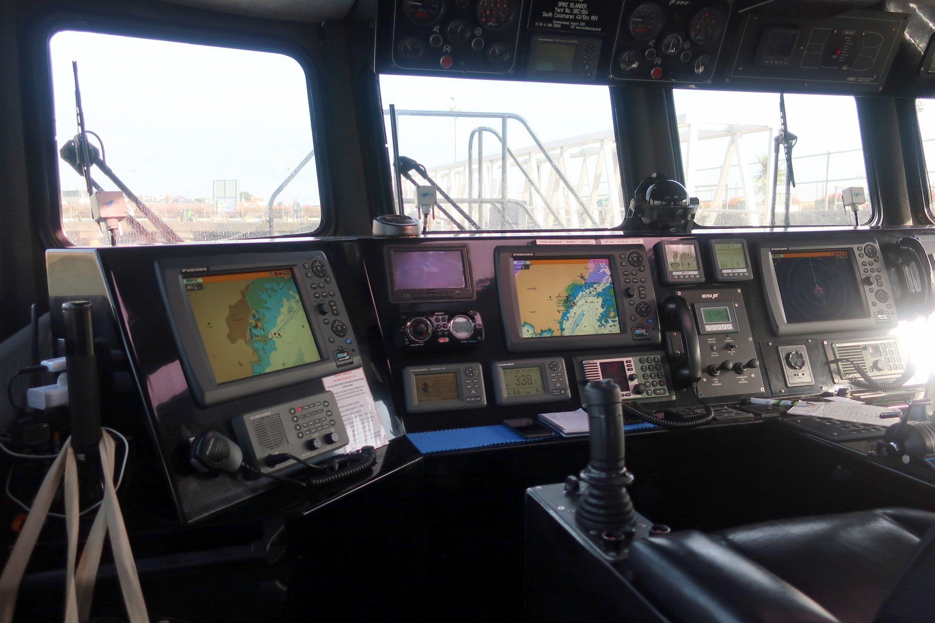
I am at the harbour for the 9:00 ferry, boarding the small catamaran “Spike Islander” and taking one of the 12 passenger seats just behind the crew. We leave the harbour and turn North East for Alderney and just over an hour later, after an enjoyable cruise, we round the end of the breakwater and moor at the Alderney commercial quay.
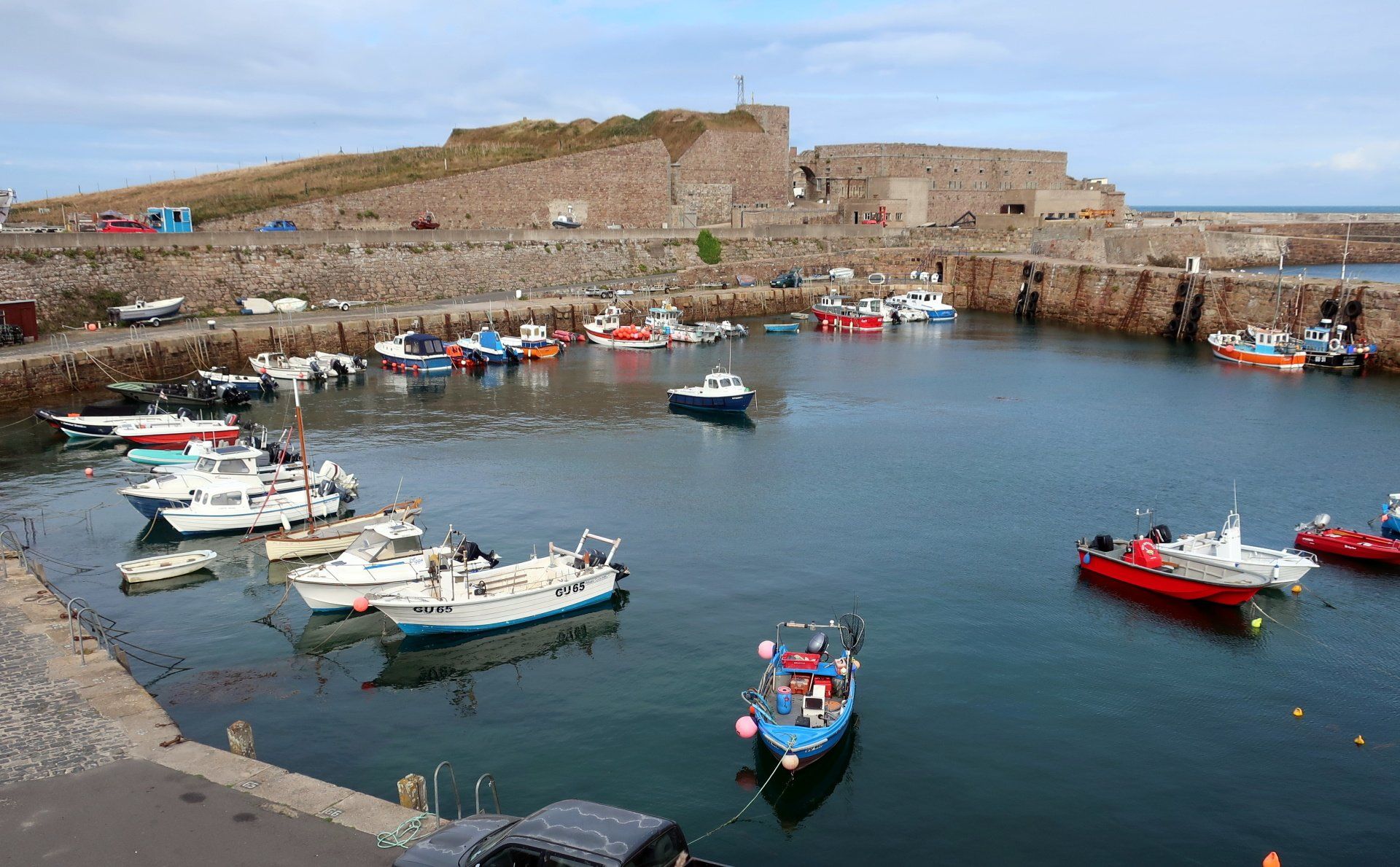
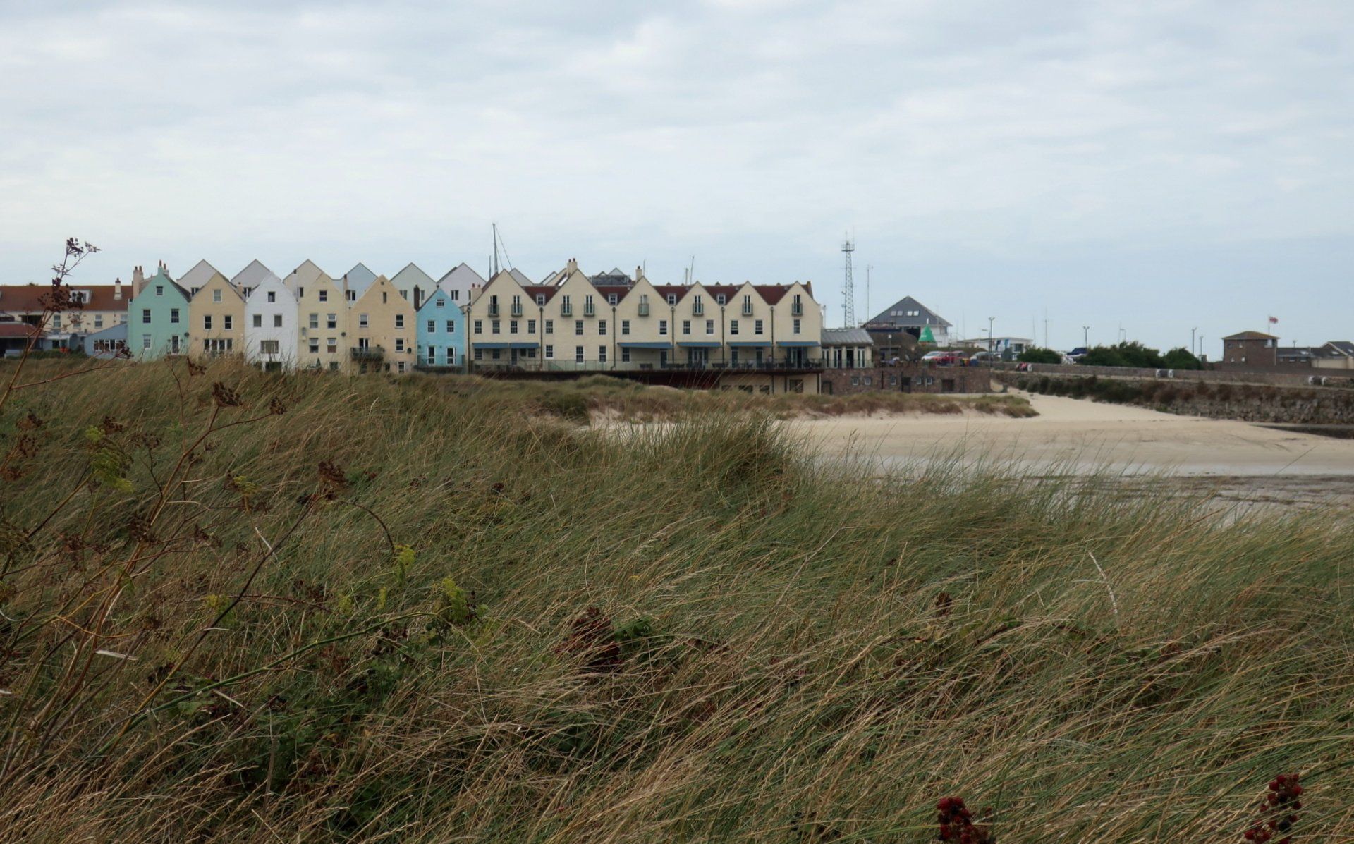
We disembark into Braye Harbour and I load my backpack and begin my anti-clockwise coastal walk. Initially this starts through a somewhat messy harbour and industrial environment but that is very quickly left behind and leads into beaches and old forts, which when mixed with cliffs, is really the essence of this walk.
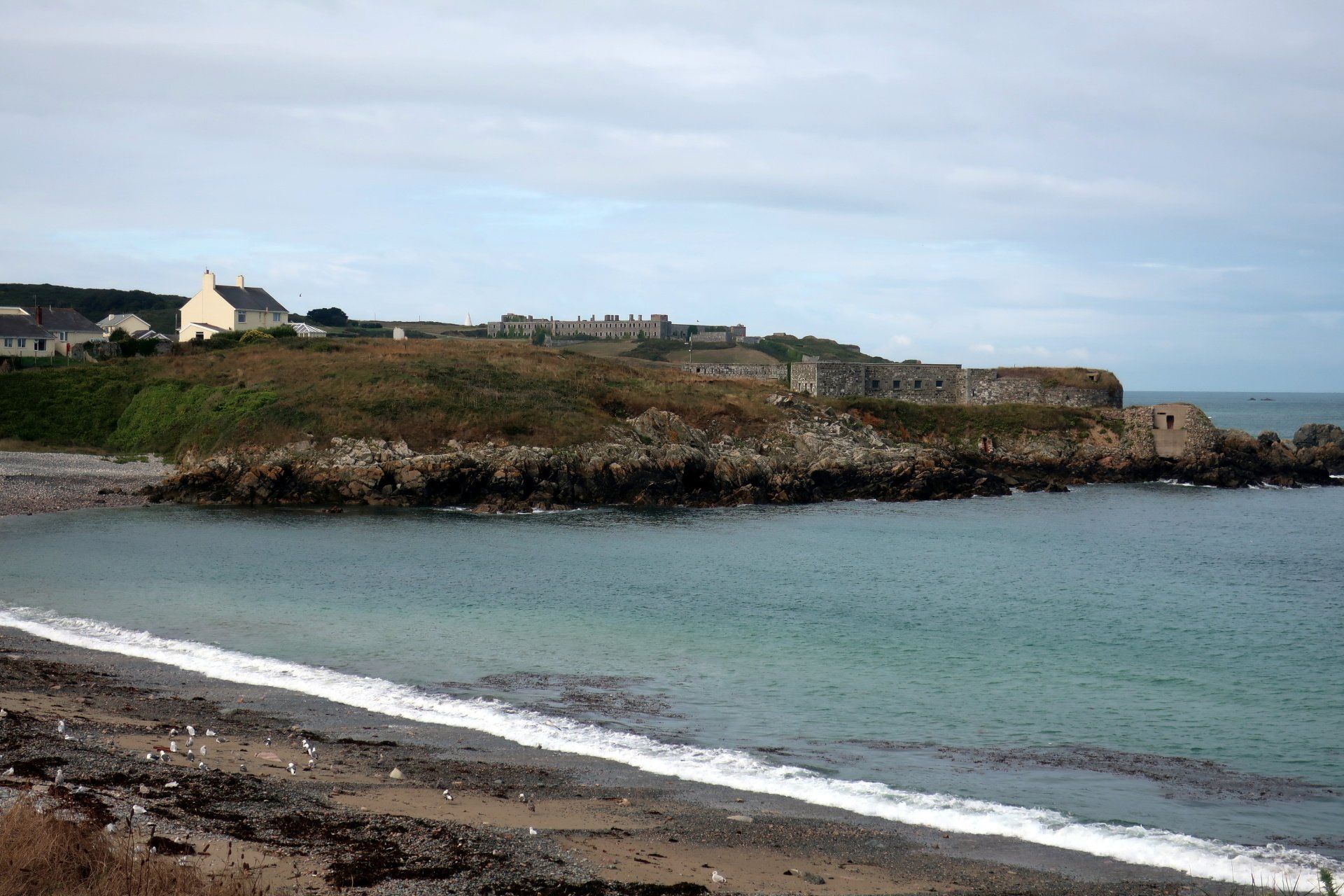
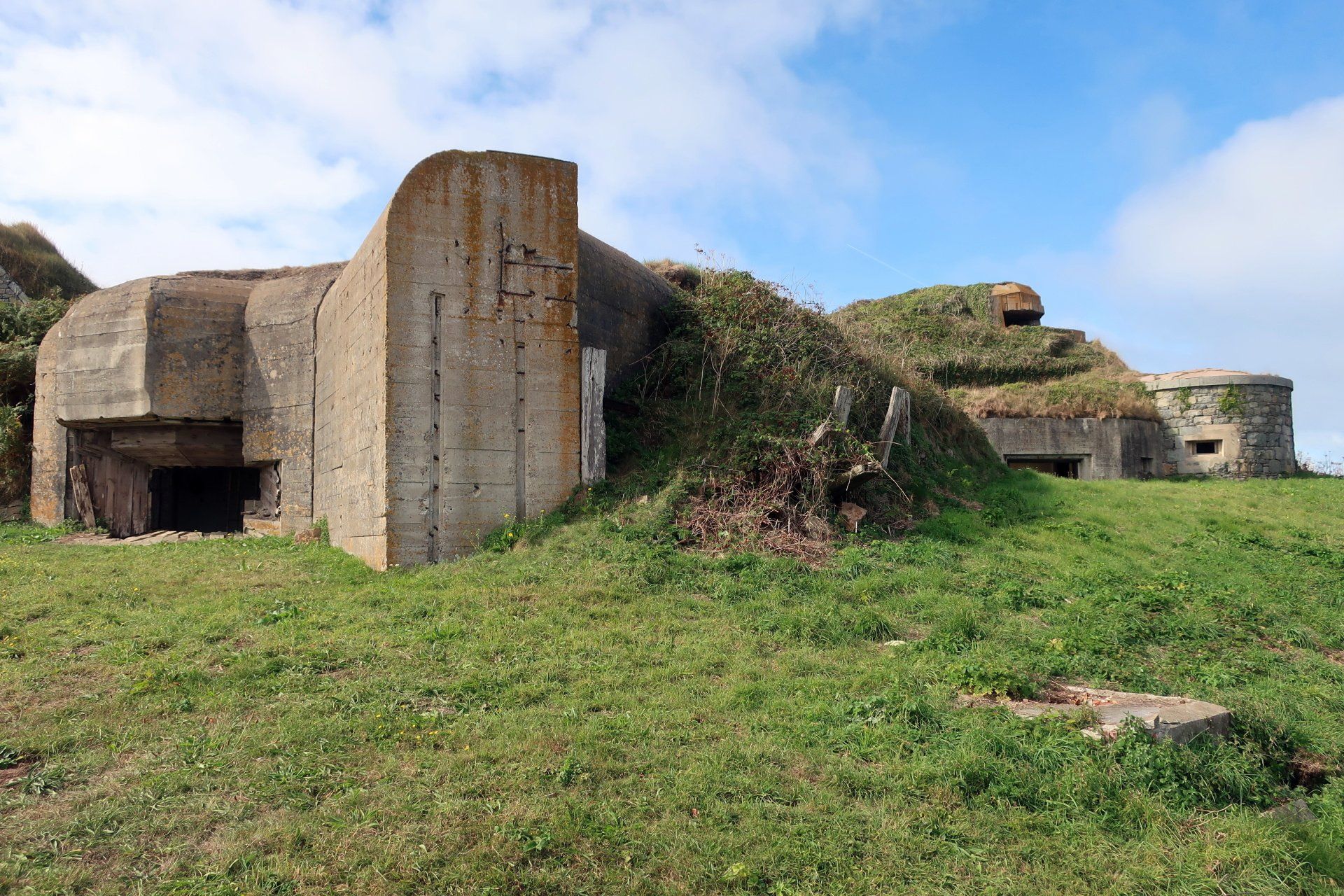
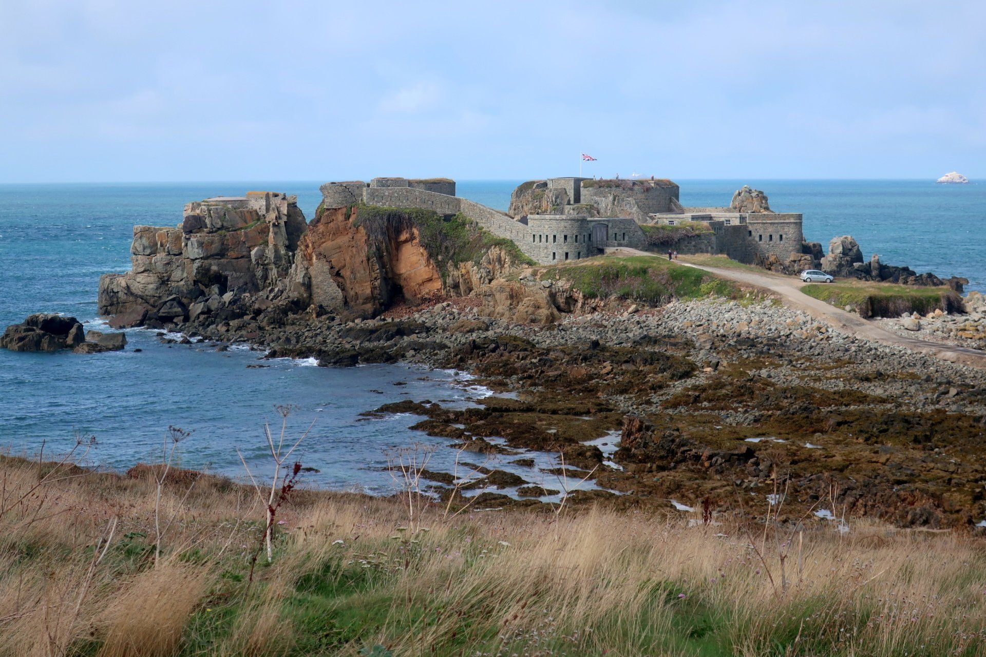
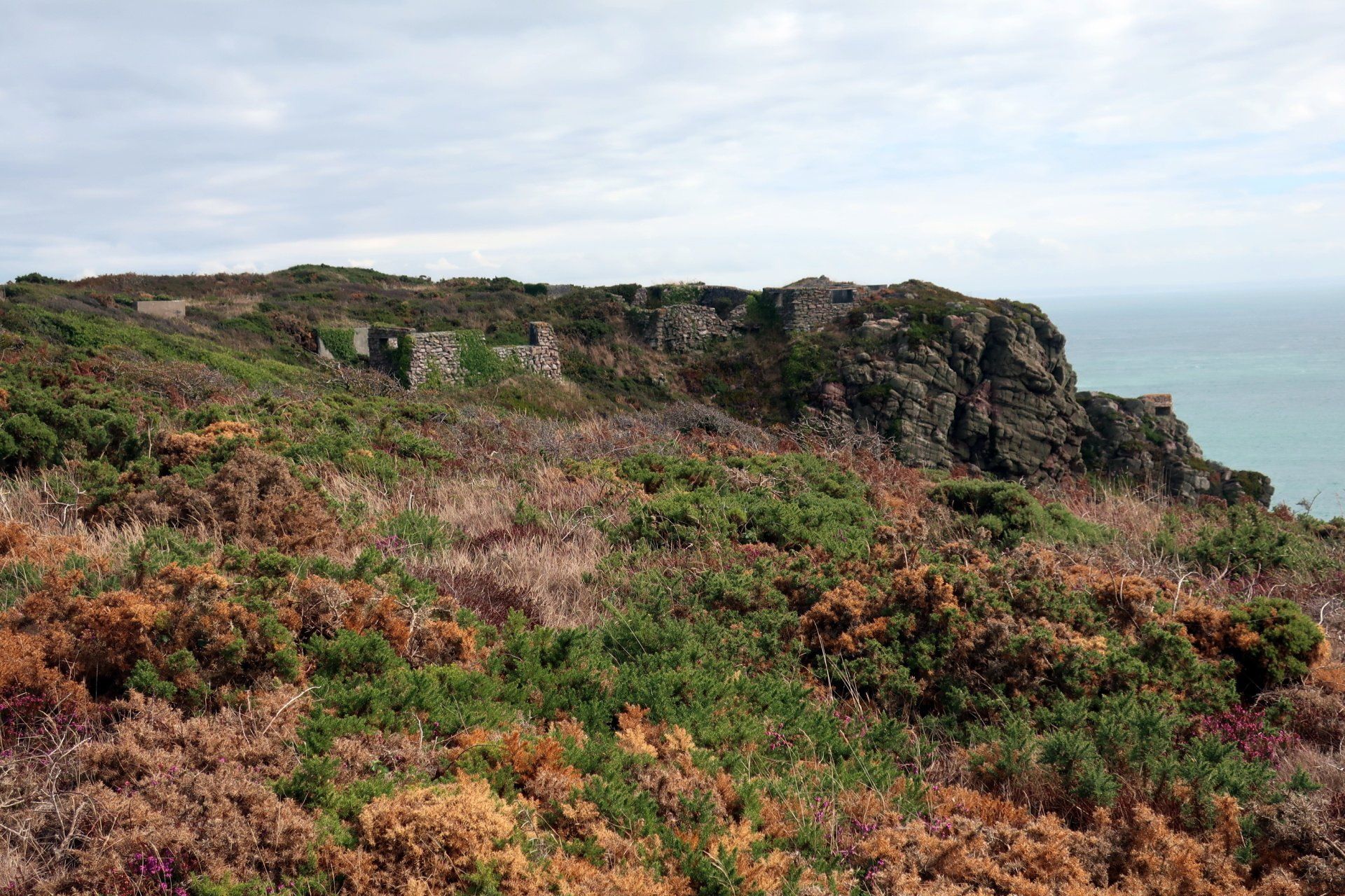
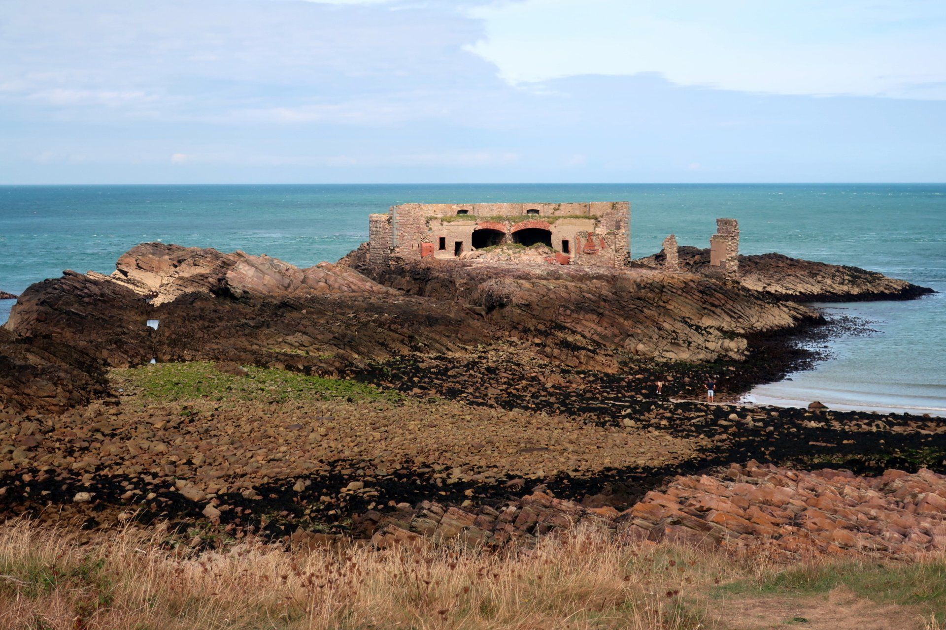
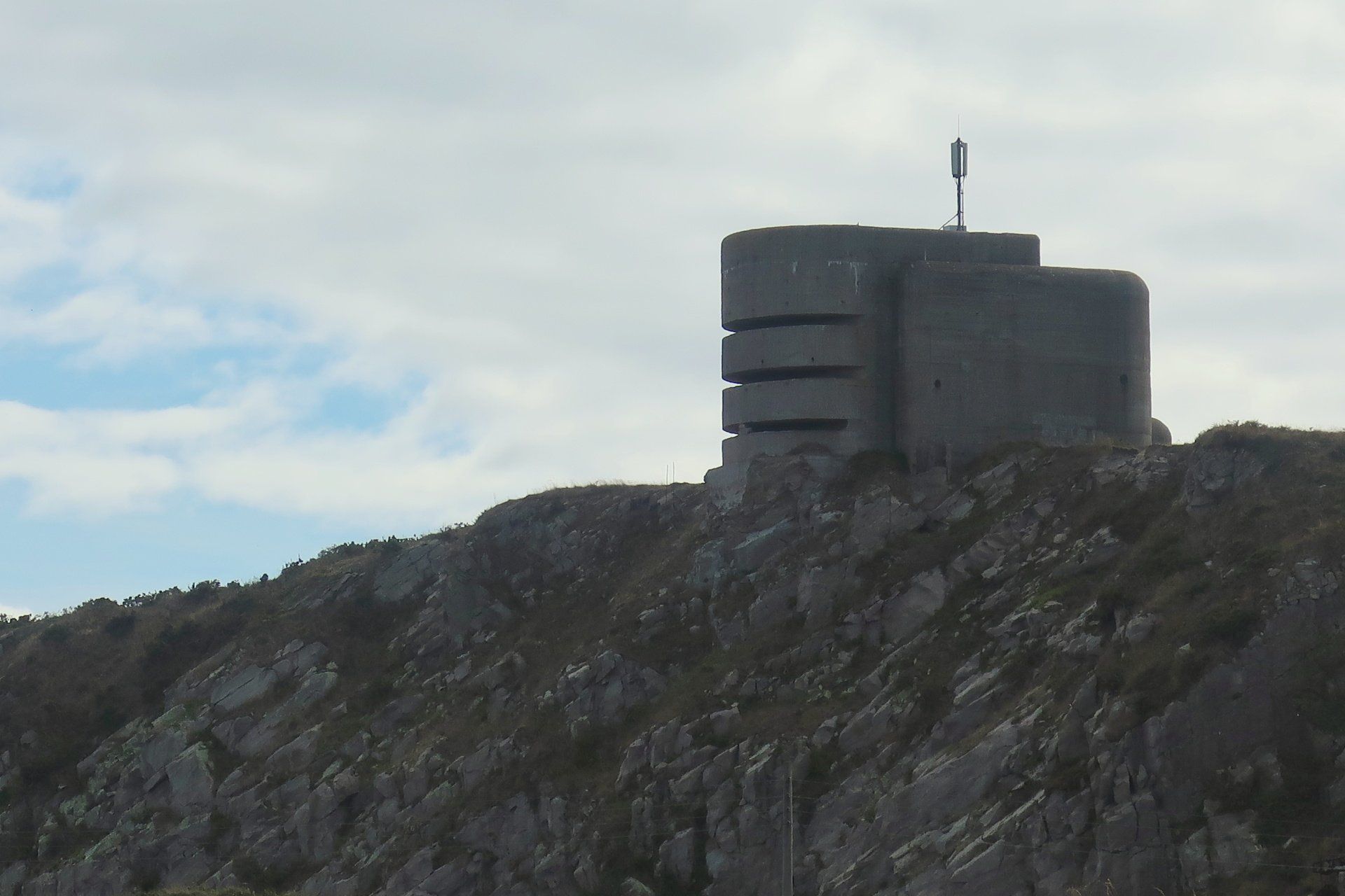
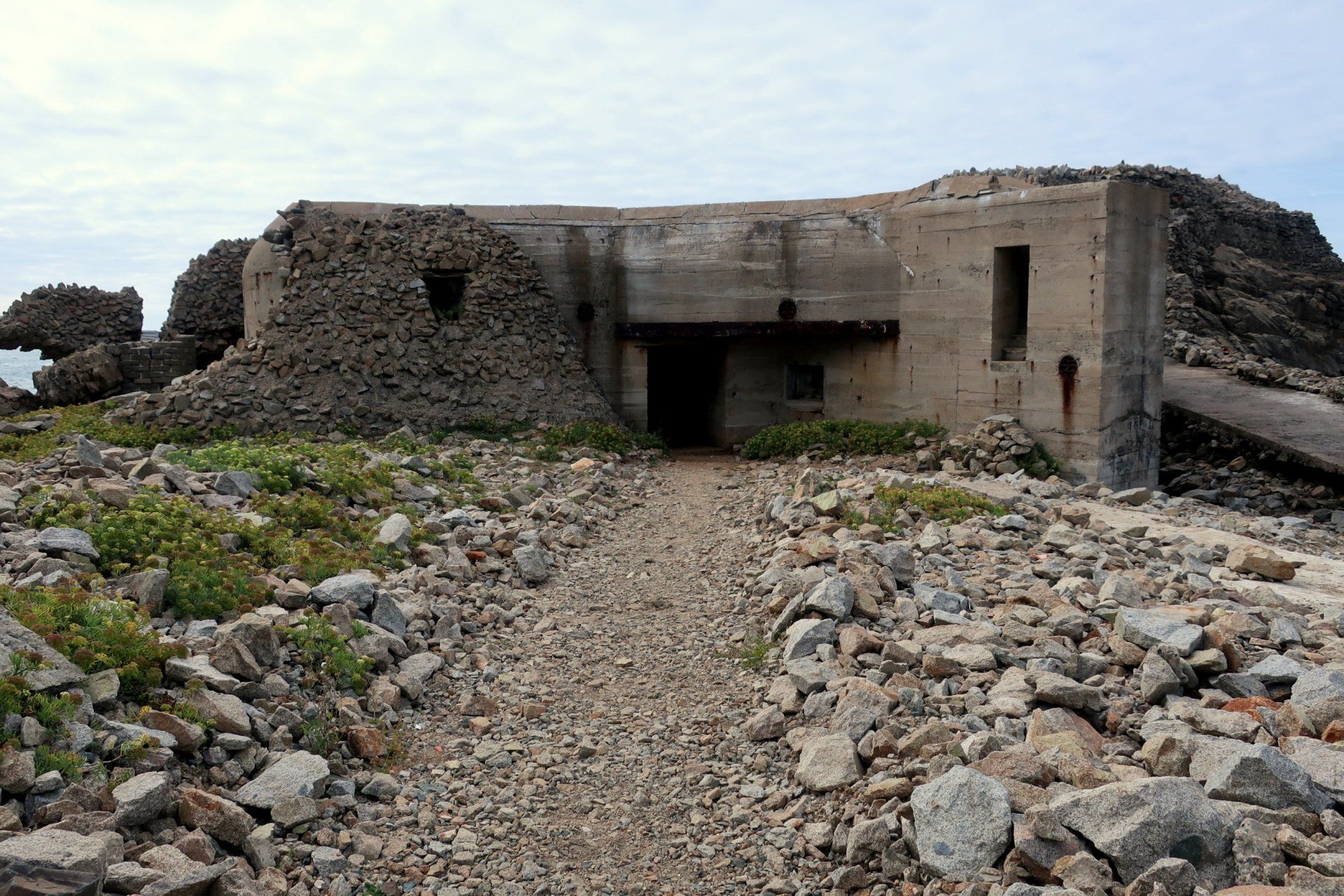
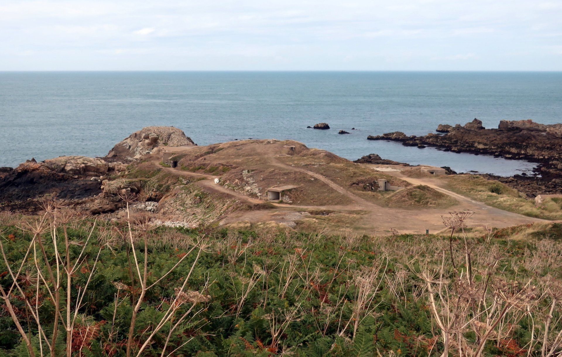
If there is one notable feature of Alderney it is military forts – they are everywhere! There are a number from the Victorian era, when a mass build during 1850 to 1860 by the British resulted in 18 significant forts and batteries, with a second major build during WWII when the Island was completely evacuated and occupied between 1940 to 1945 by the Germans. They built a number of new bunkers and fortifications, also modifying many of the existing forts and installing heavy weaponry to create “Strongpoint” defences.
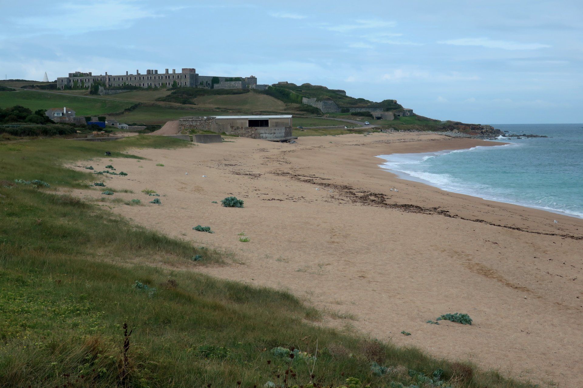
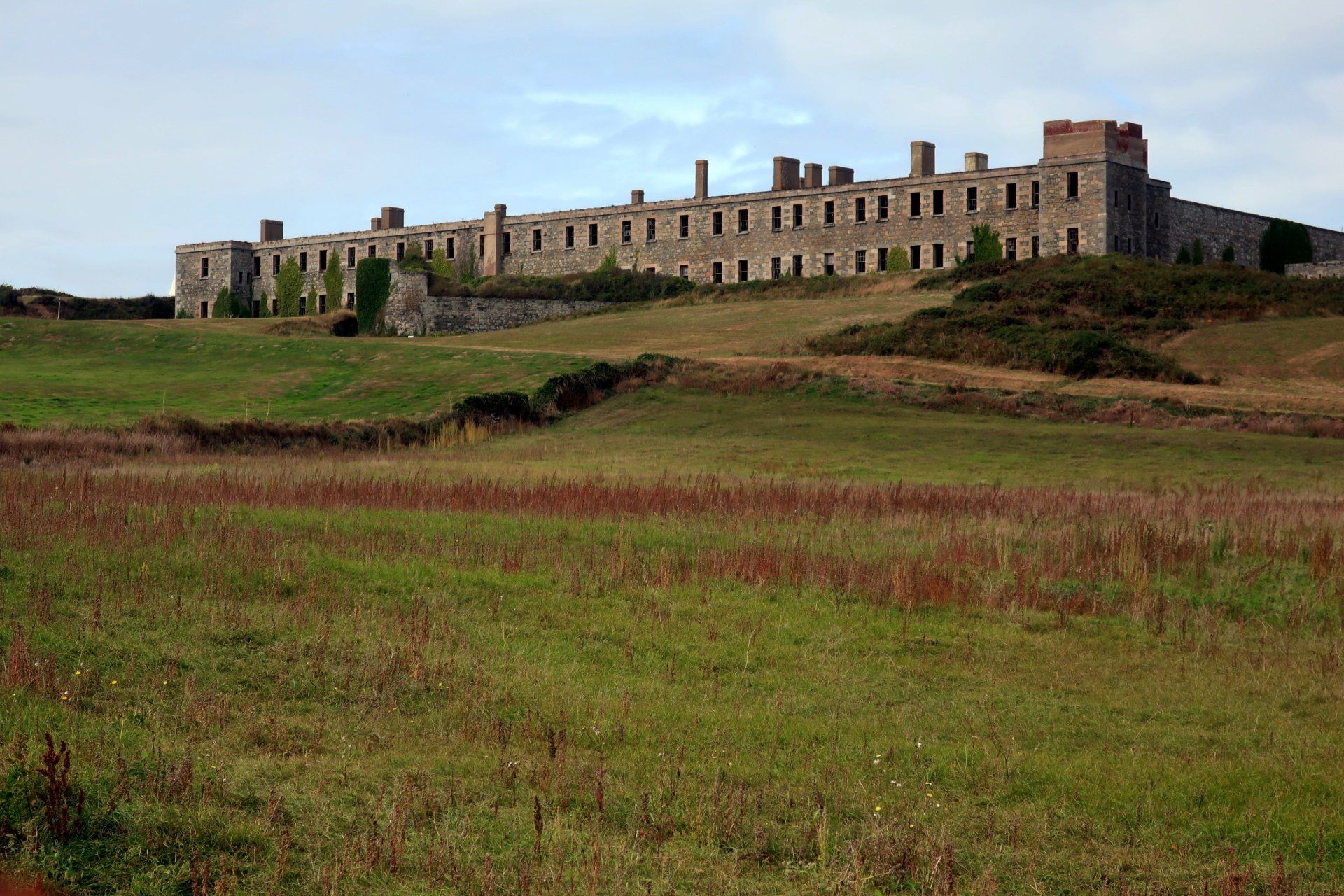
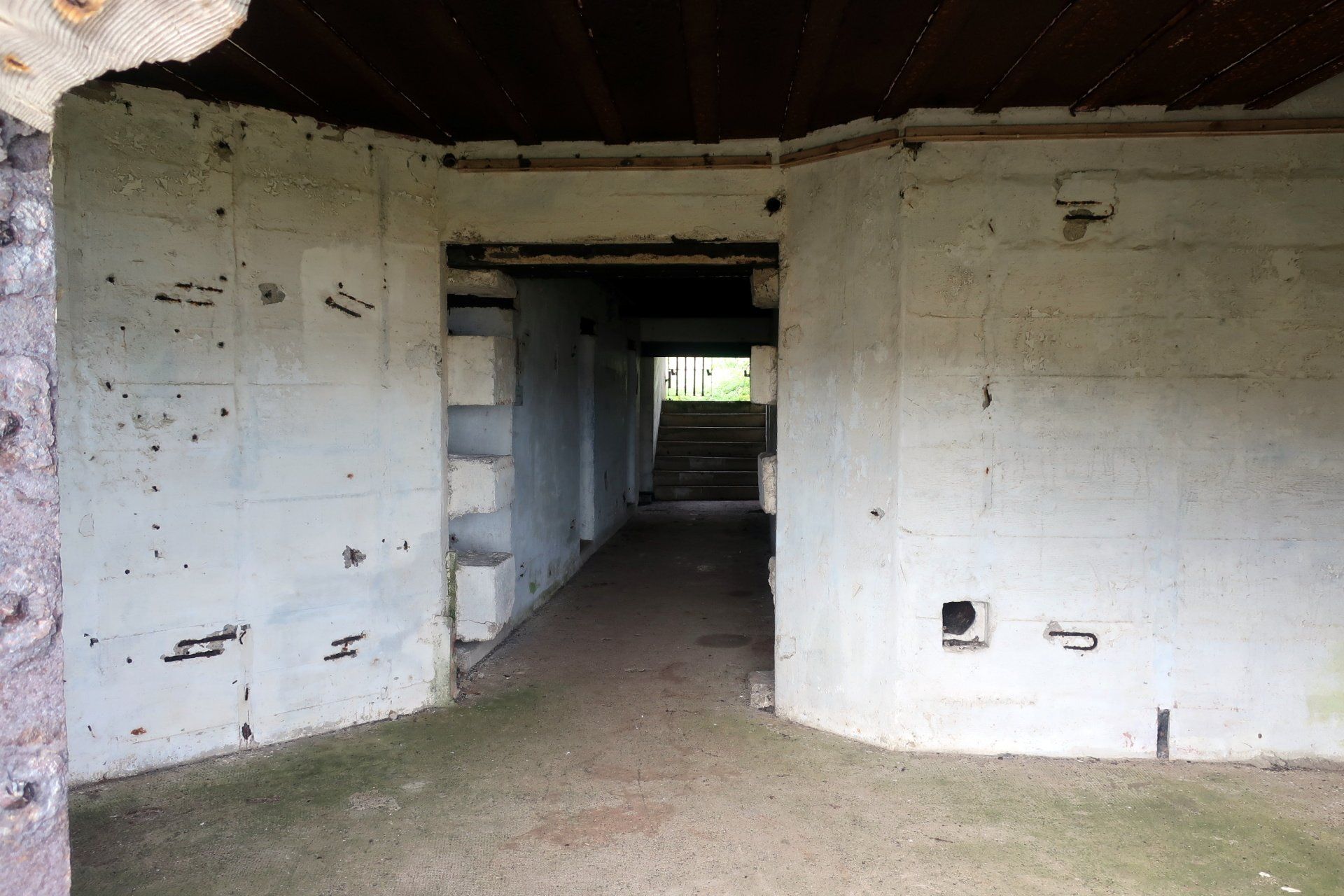
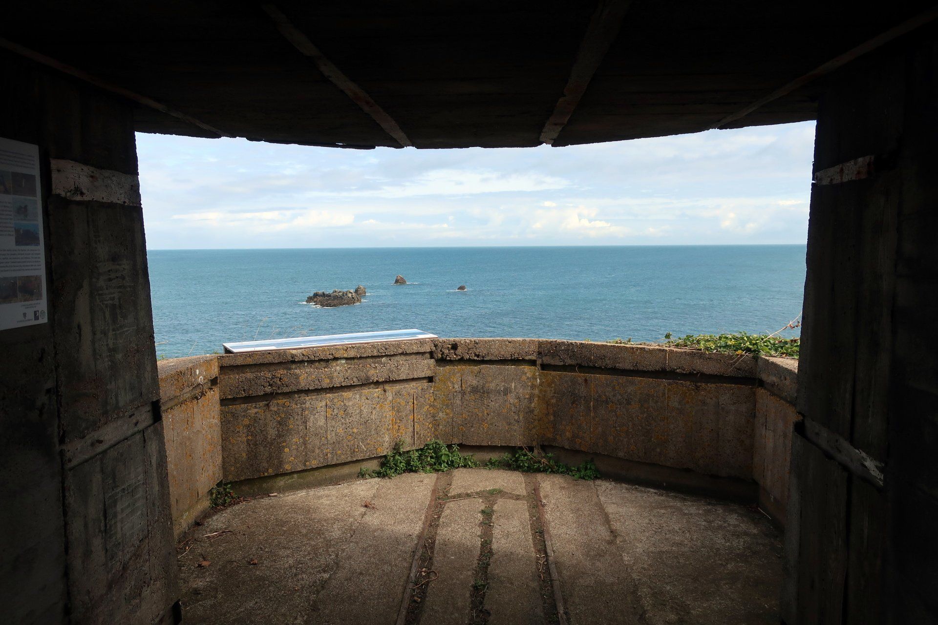
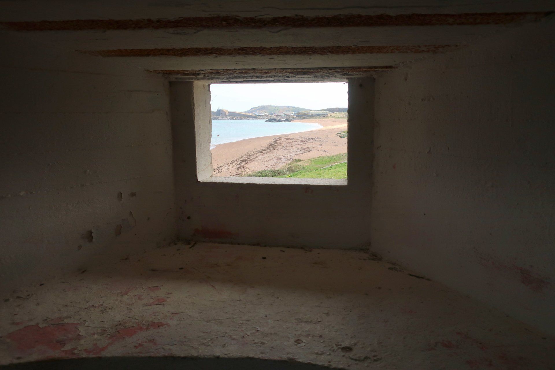
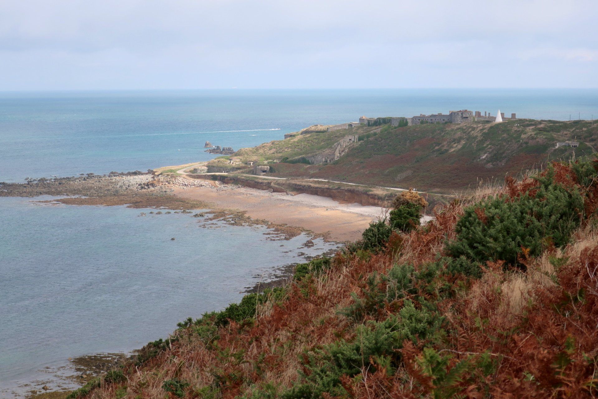
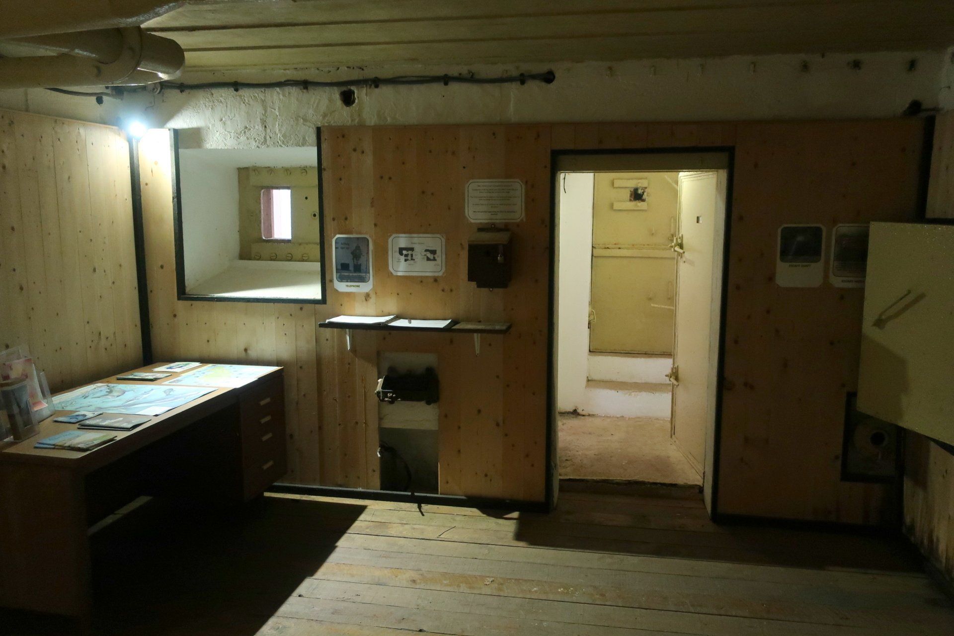
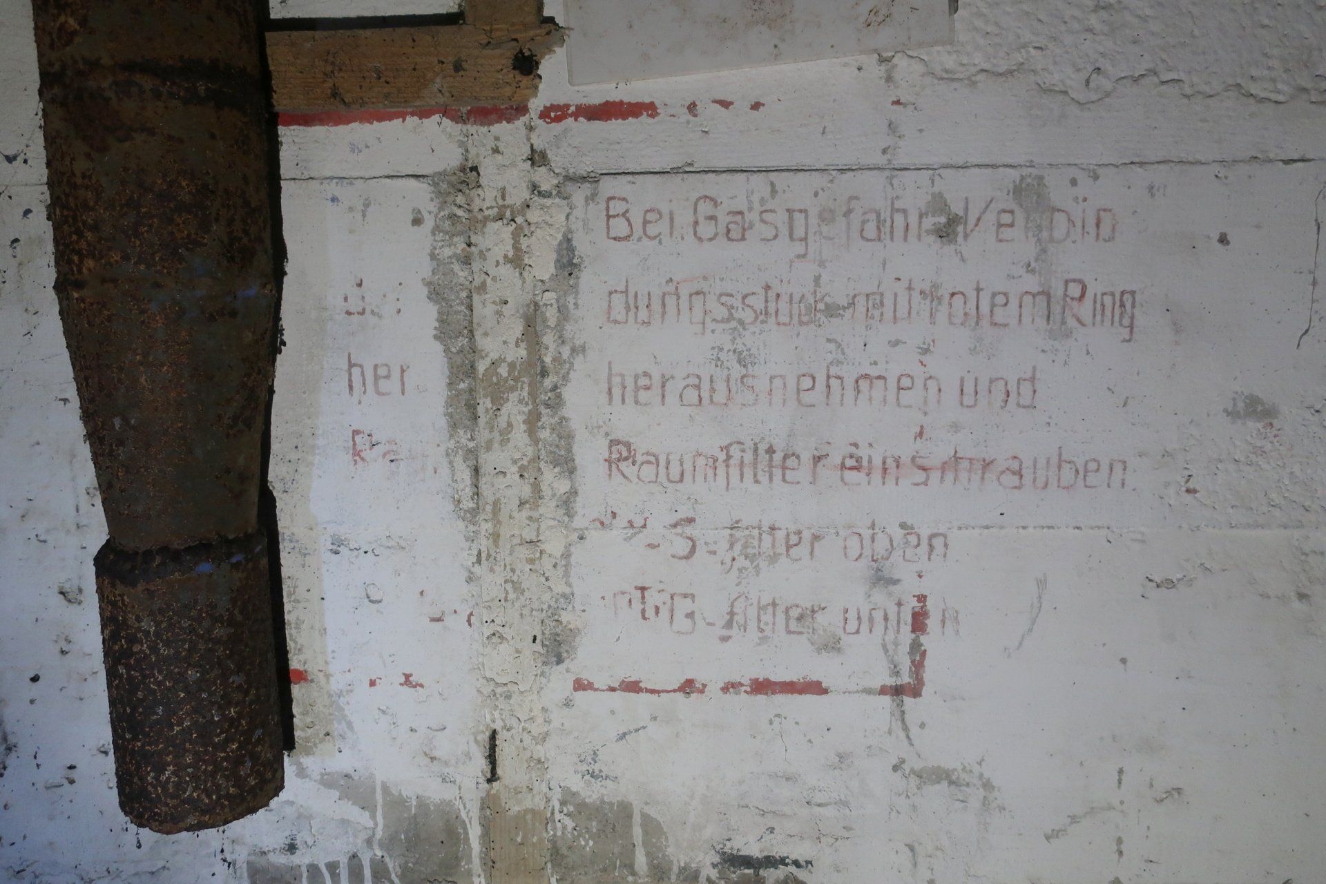
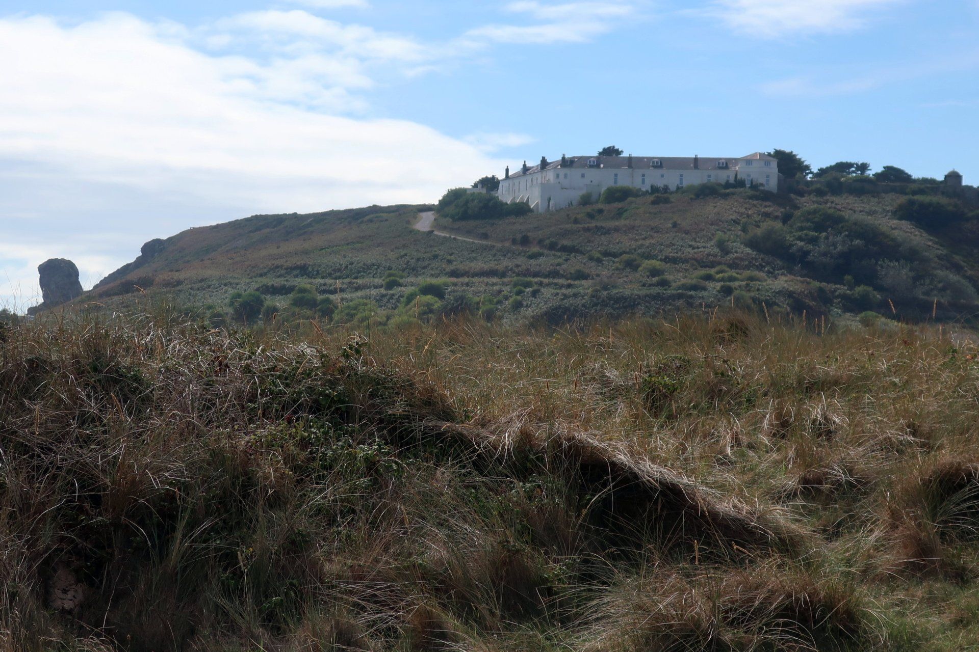
The Victorian forts are mostly now privately owned, some turned into homes, but one of the largest – Fort Tourgis – is still partially open to the public, pending redevelopment (which is always about to happen, but never does!). The Cambridge Battery section is a remnant of German modifications, leaving a warren of rooms and tunnels, all open to explore. An outside viewing platform, originally a searchlight platform, offers fine views back to Braye Harbour and out to sea. I have taken my binoculars today and use these on several occasions, the first here.
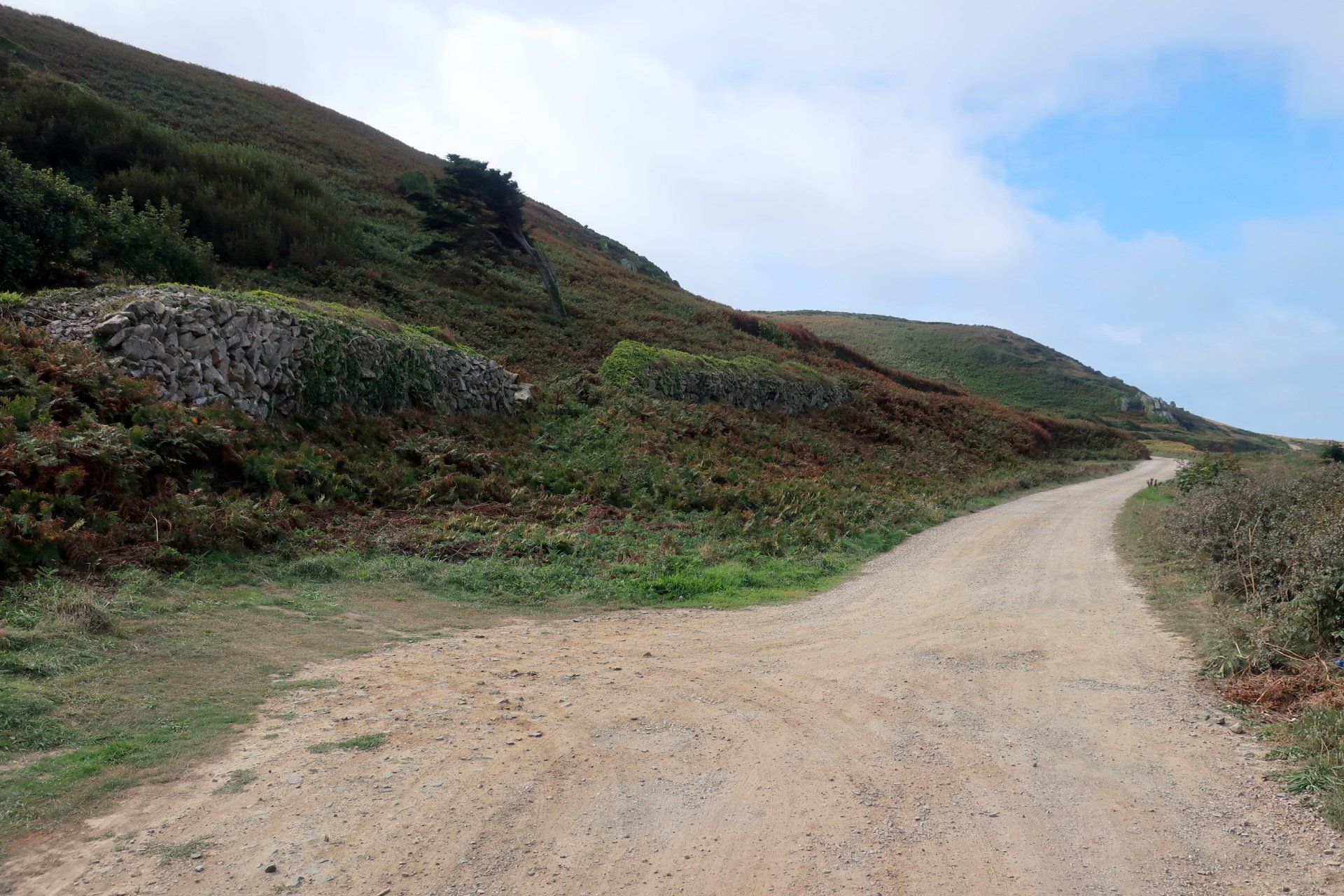
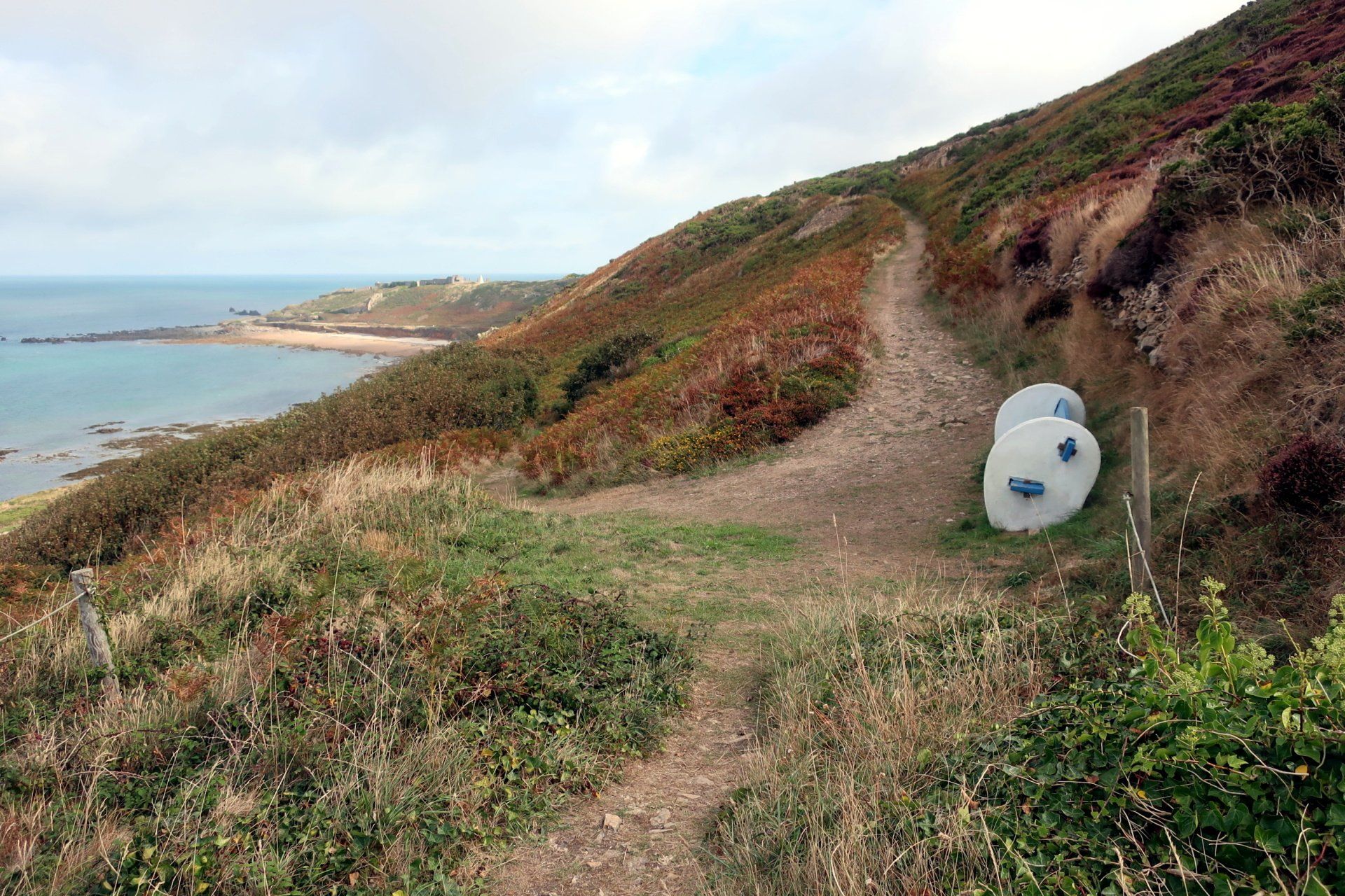
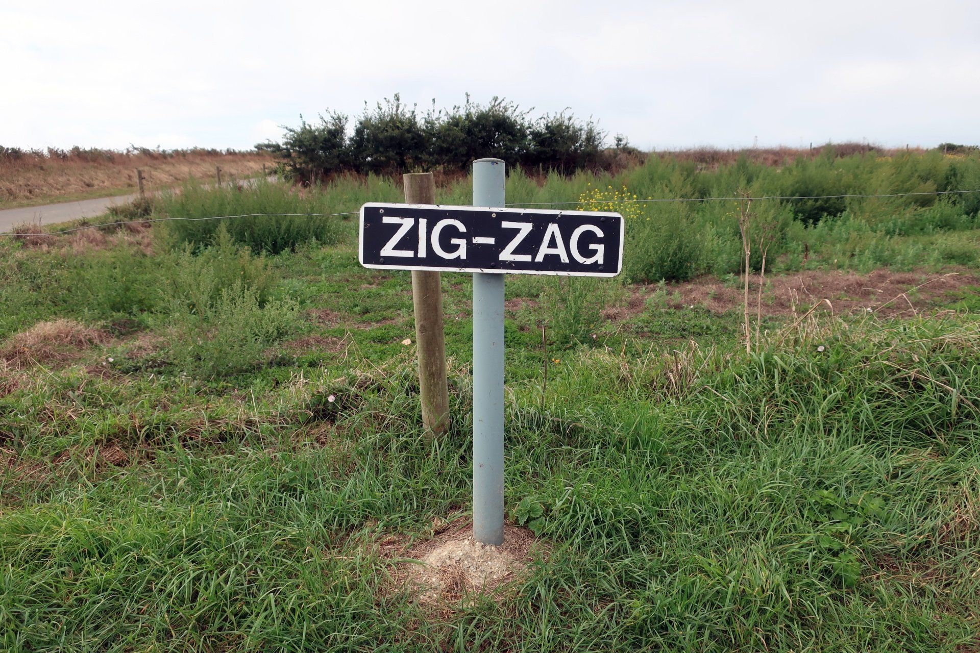
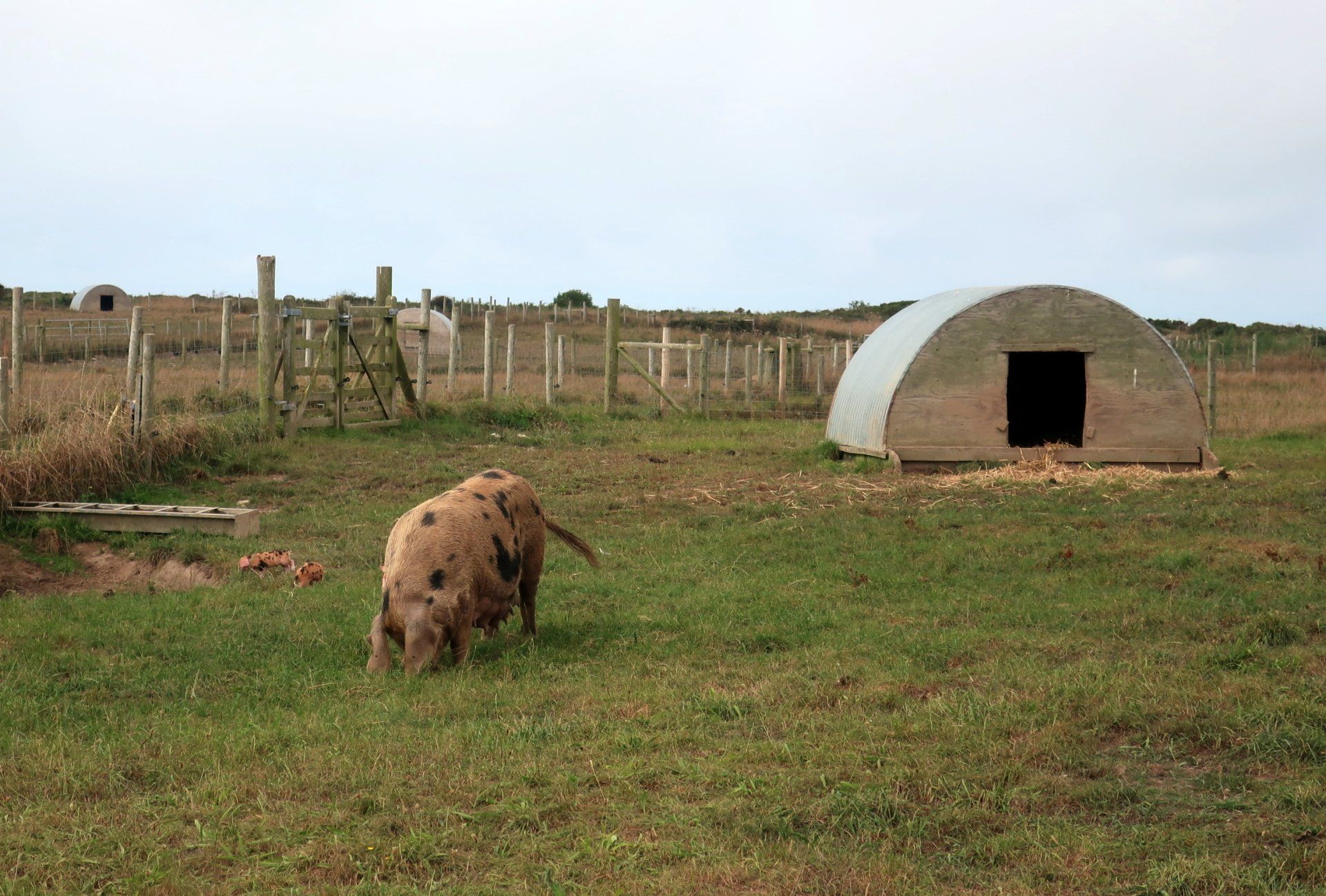
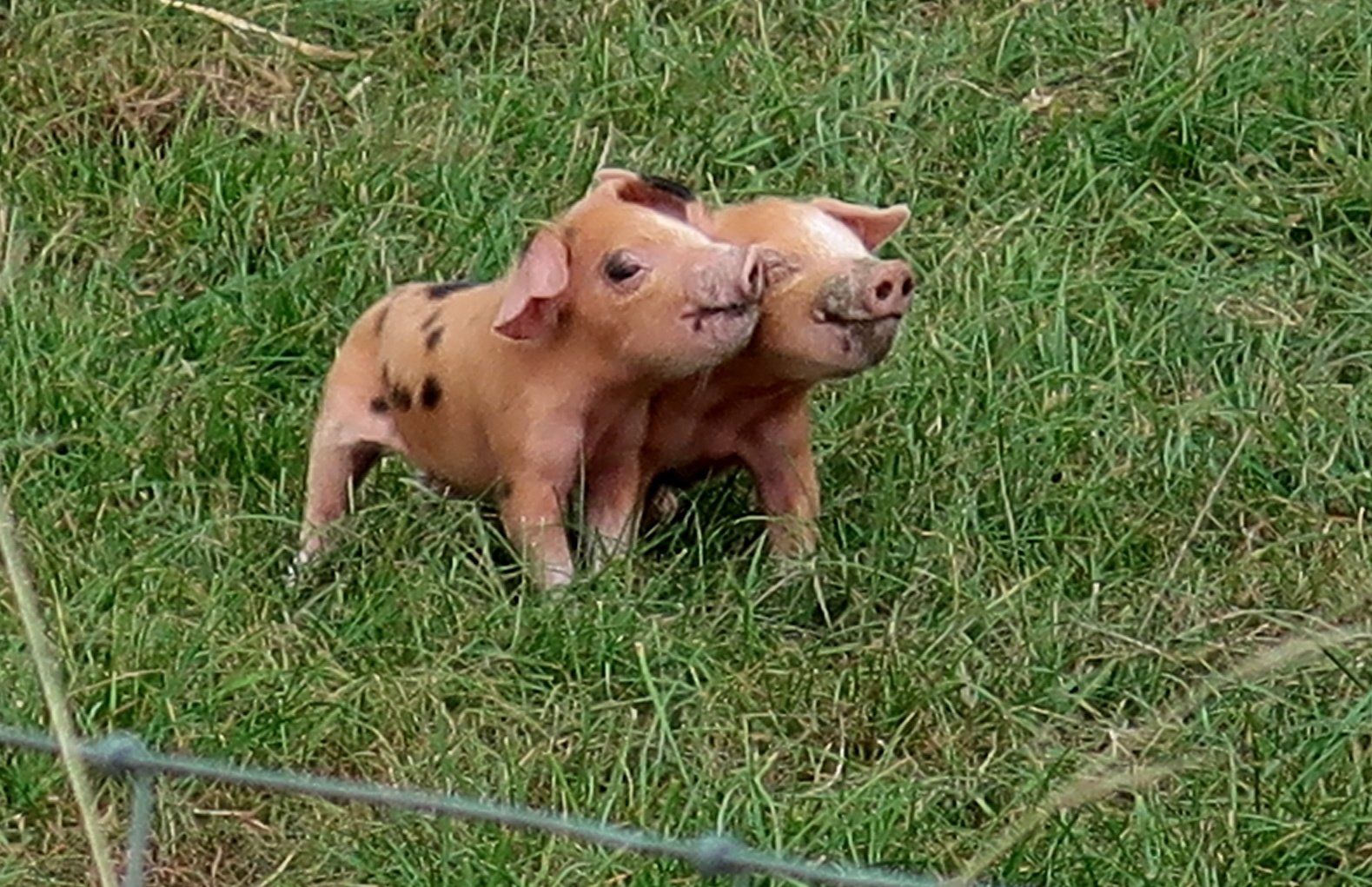
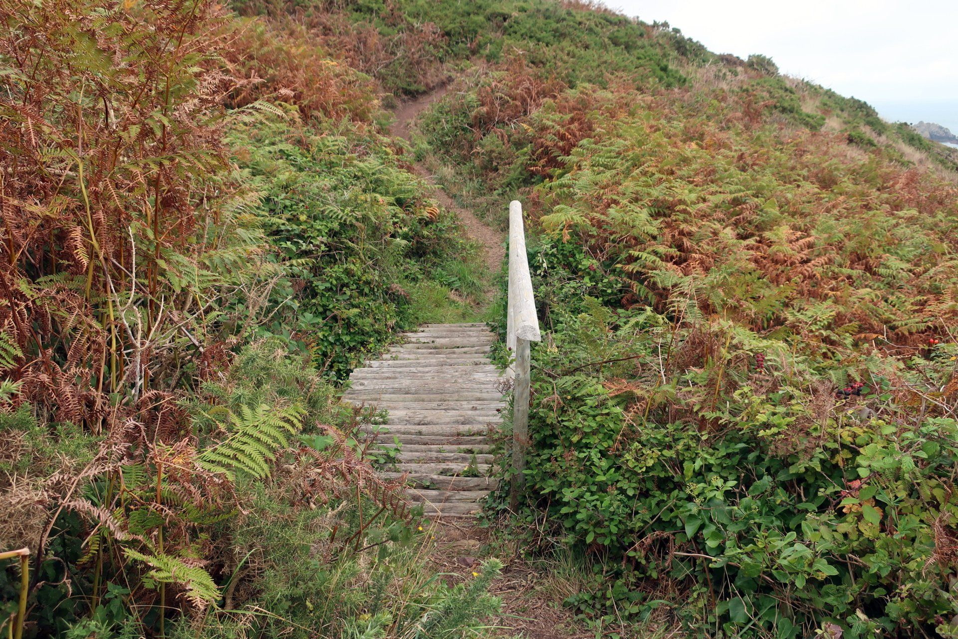
After an enjoyable time exploring I continue, passing a couple of other forts then up the hill via the ‘zig-zags’ to reach the top of the Island, encountering some fine views along the way. The path diverts inland for a while, including past the pig farm, where there are some of the smallest, cutest pigs ever seen. Pigs are not meant to be cute, but if these were on Instagram they would be a sensation!
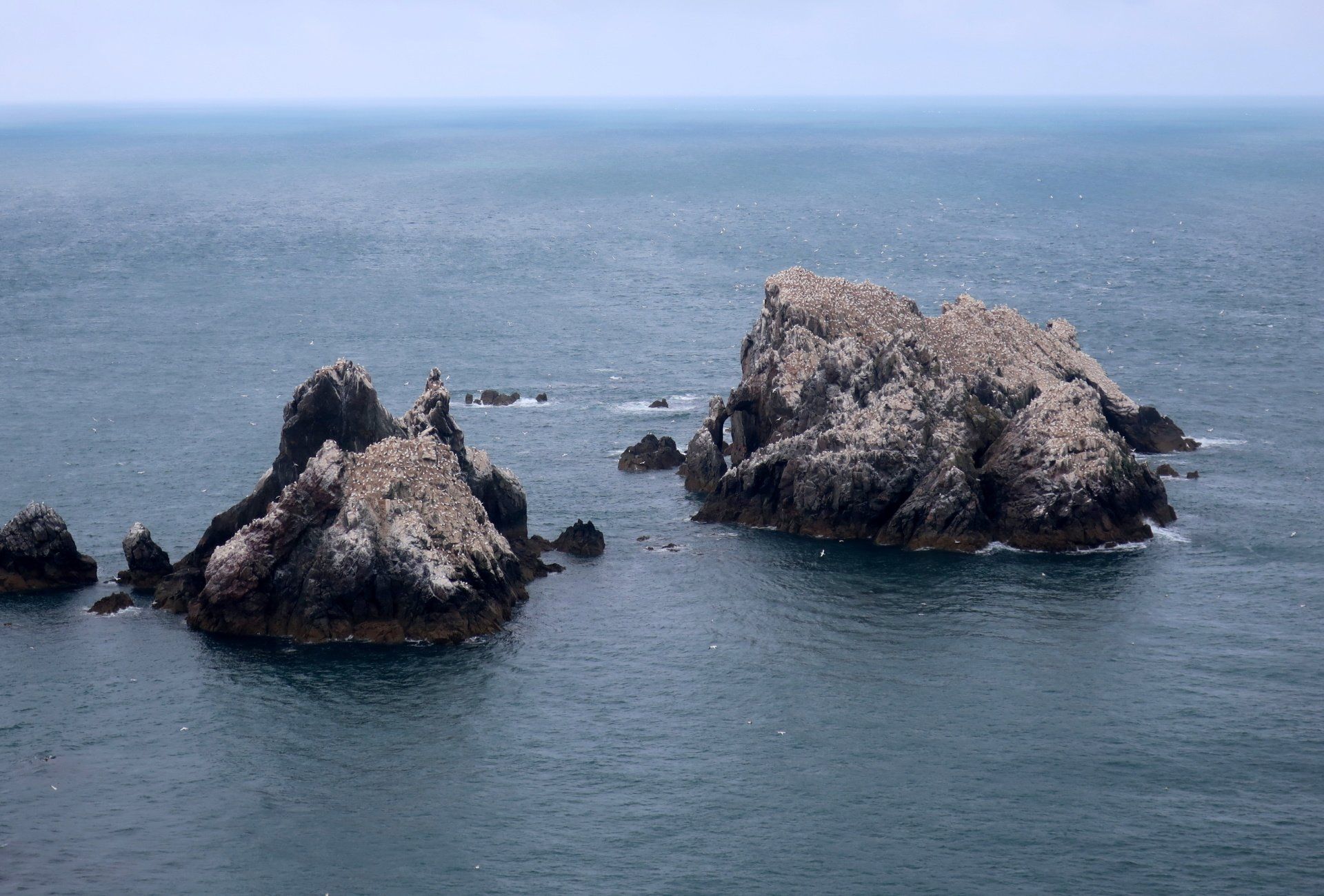
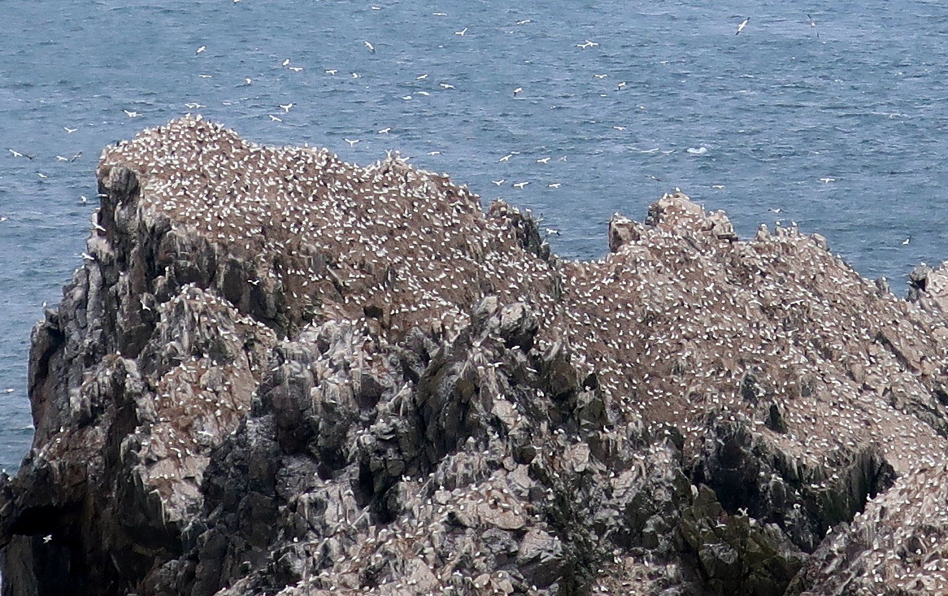
At the end of the road I reach the cliff edge overlooking the gannet colony on Les Etacs, these a couple of large rocks completely covered by gannets (and white with their poo). It is really quite a sight. Apparently there can be over 10,000 gannets here, 2% of the world’s northern population.
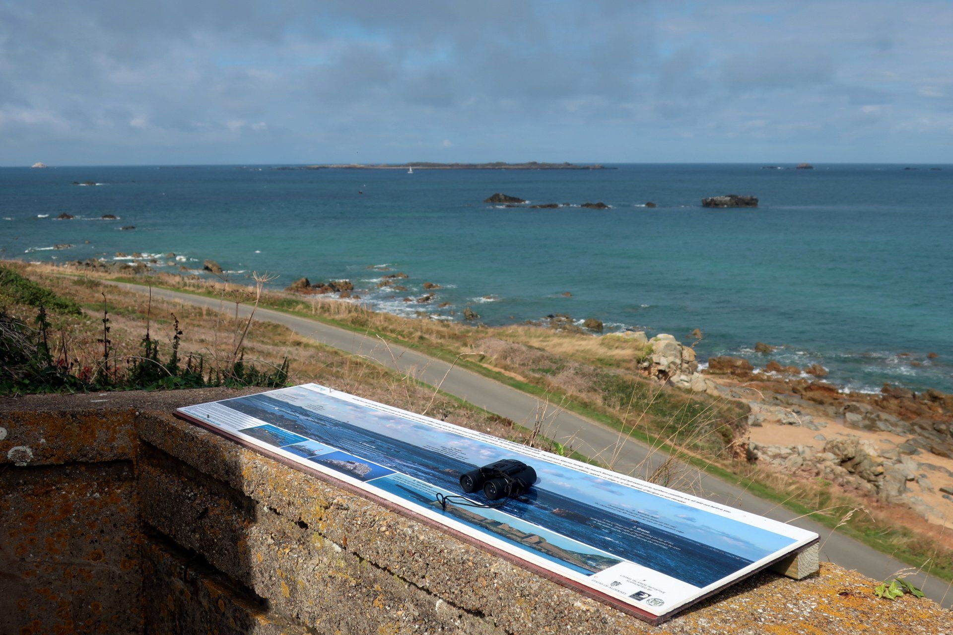
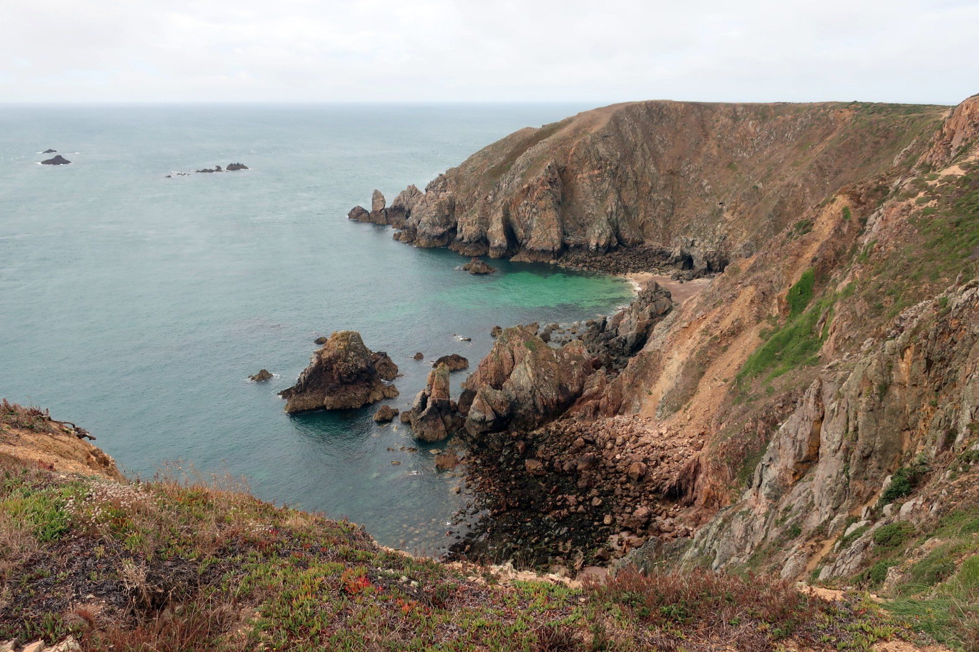
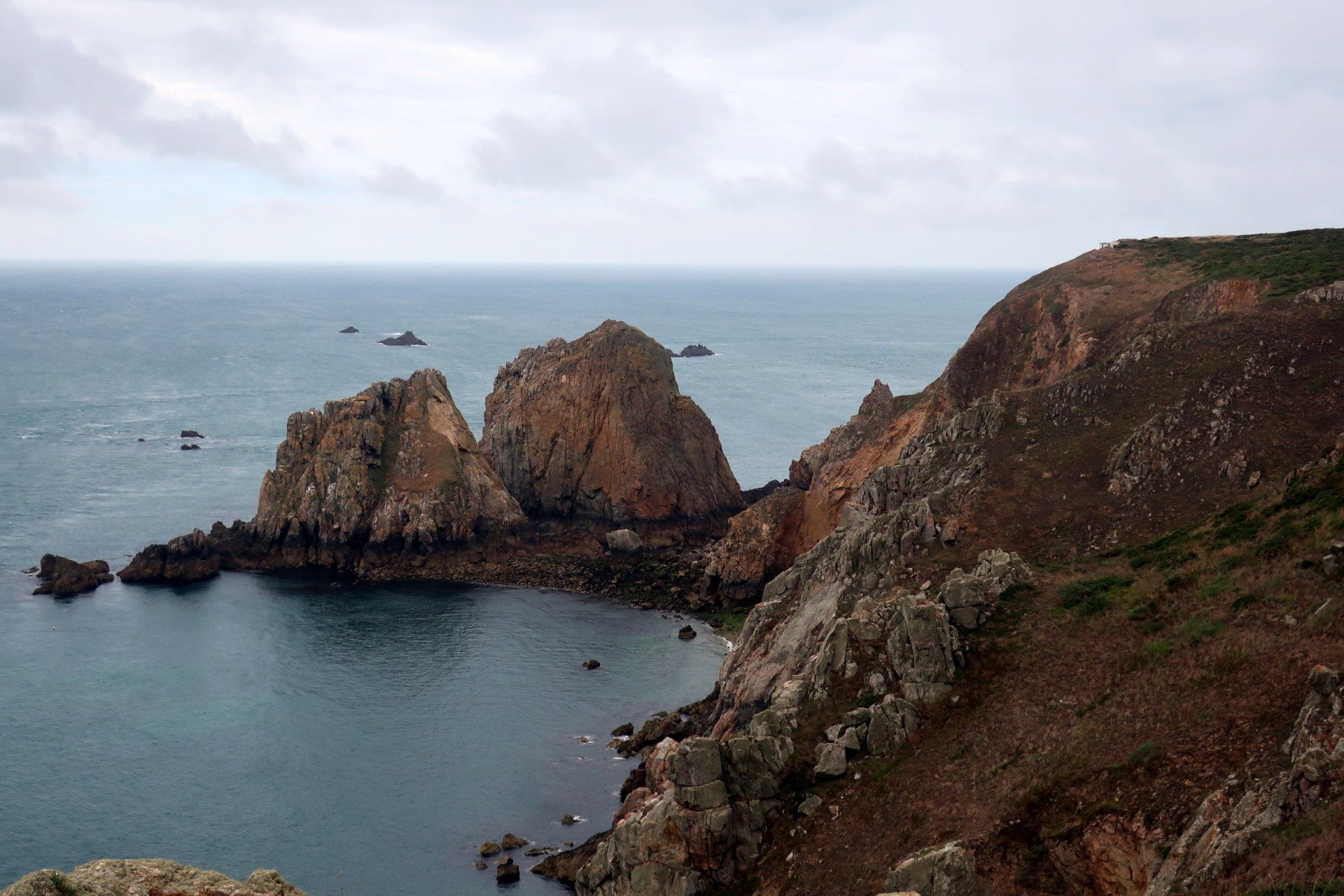
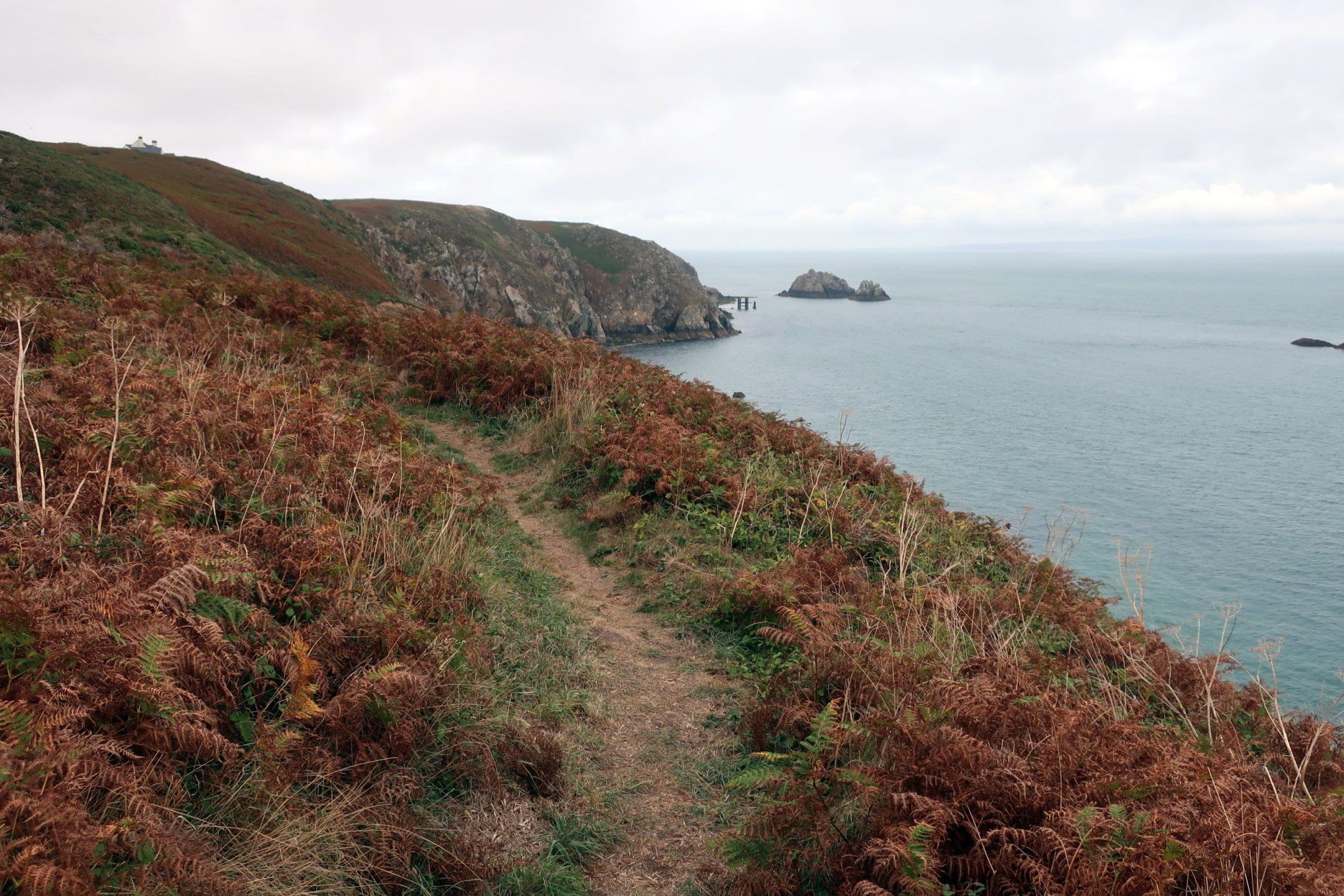
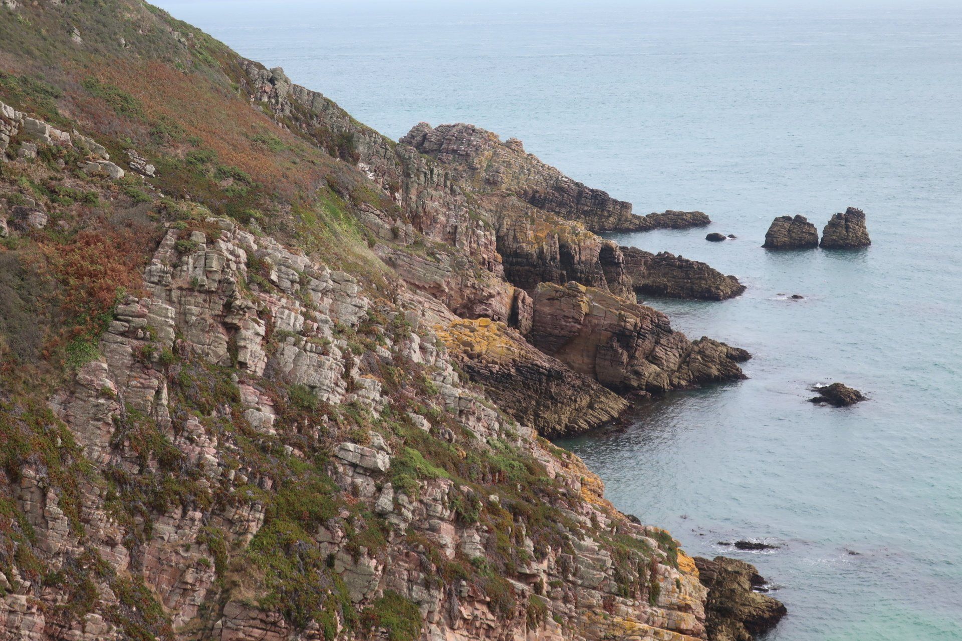
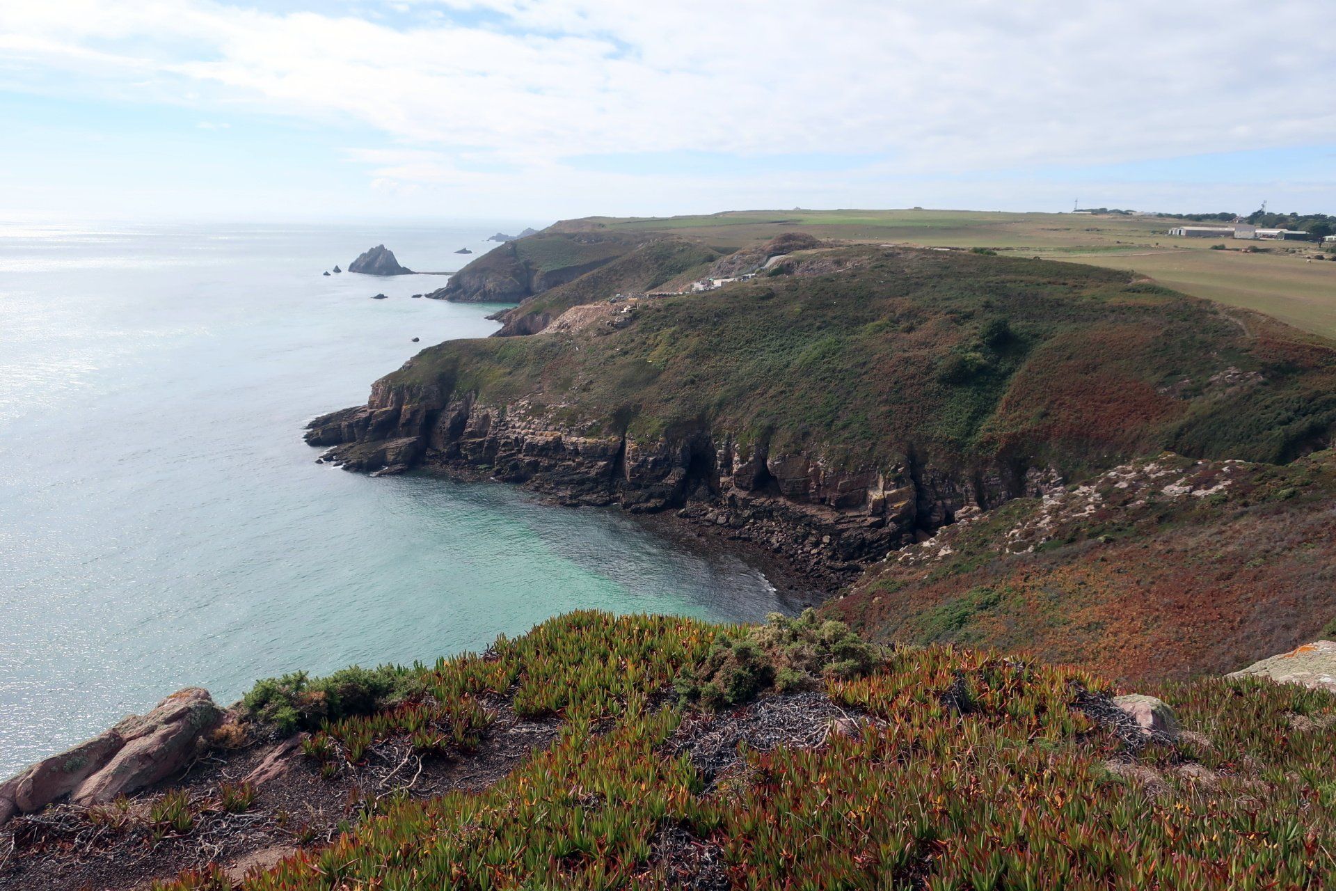
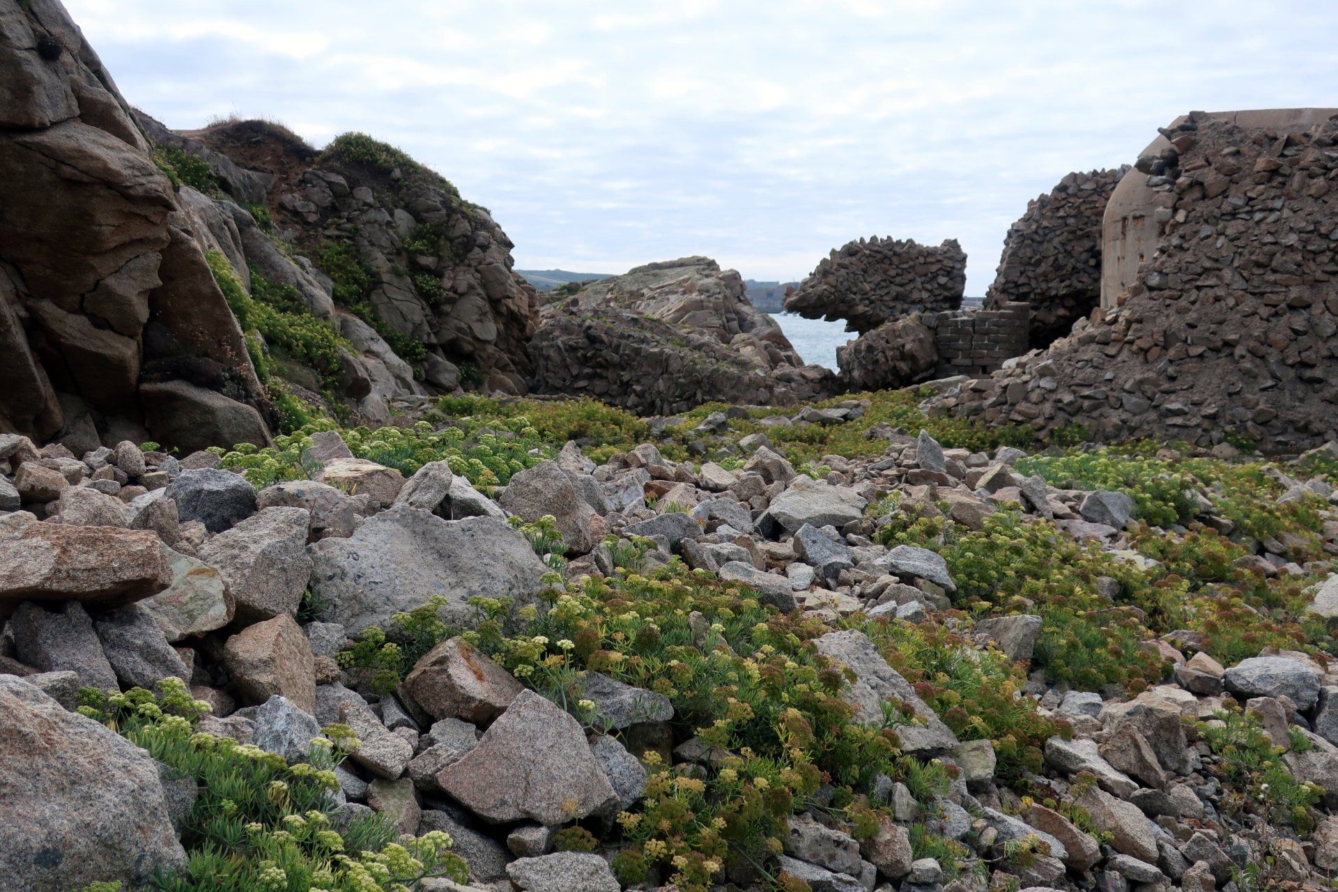
From here I need to work my way around the cliff edge but there is no clear path. I descend a steep hill and follow a path although this leads inland and misses the intended route, however, I back track and in the round make it work, if a little convoluted. There are some fine views over Telegraph Bay and other areas, with the French coast clearly visible off to the East (about 10 miles away).
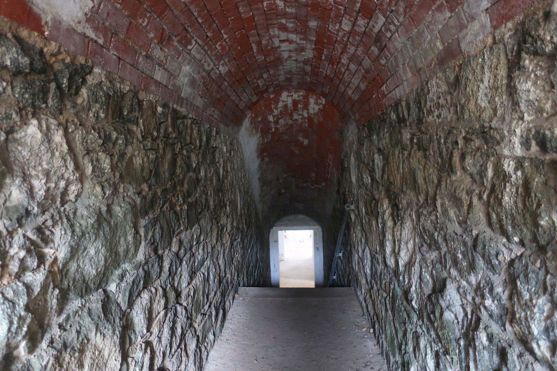
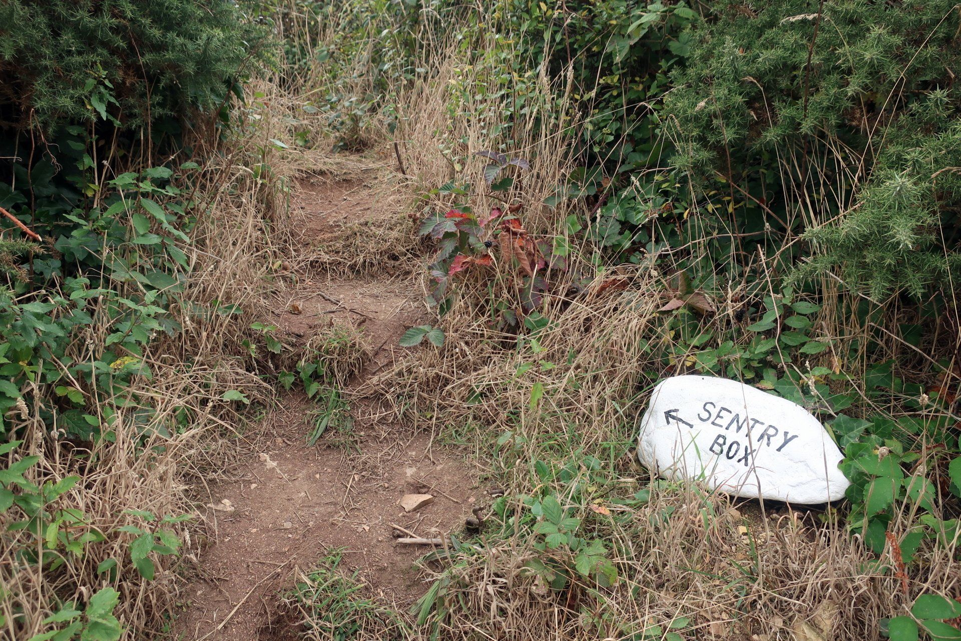
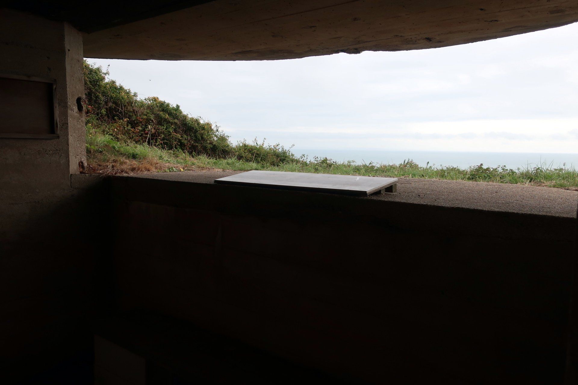
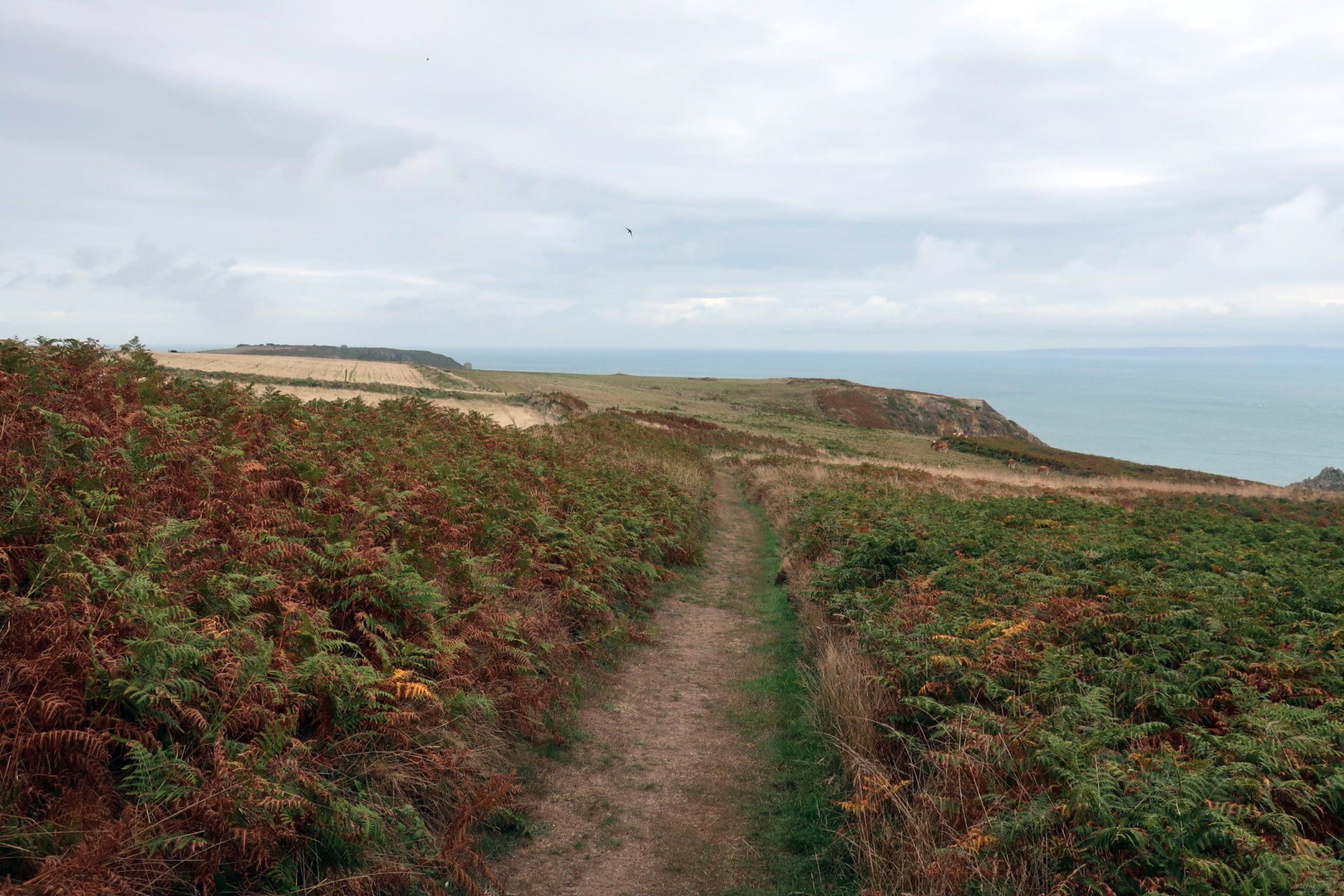
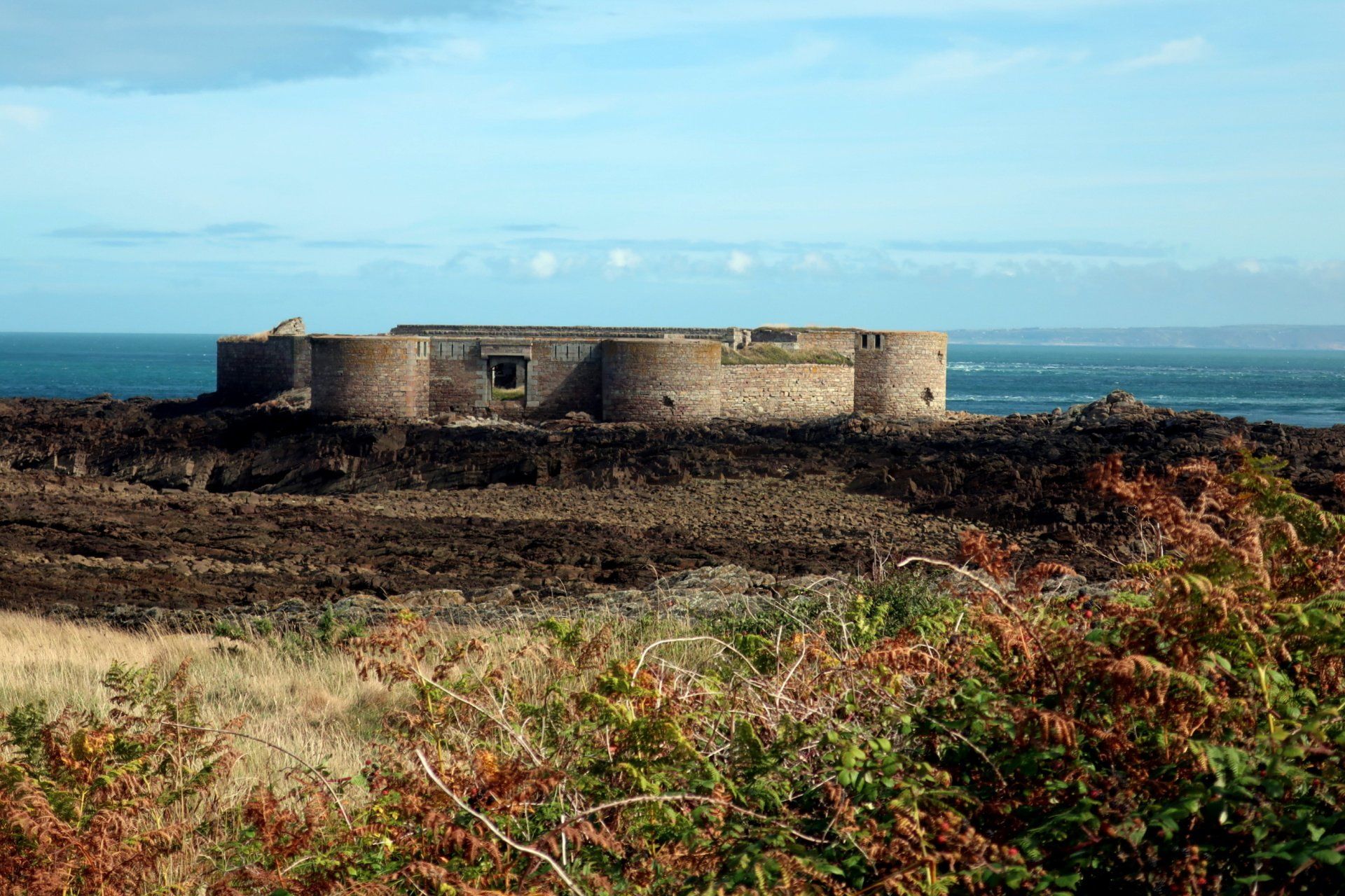
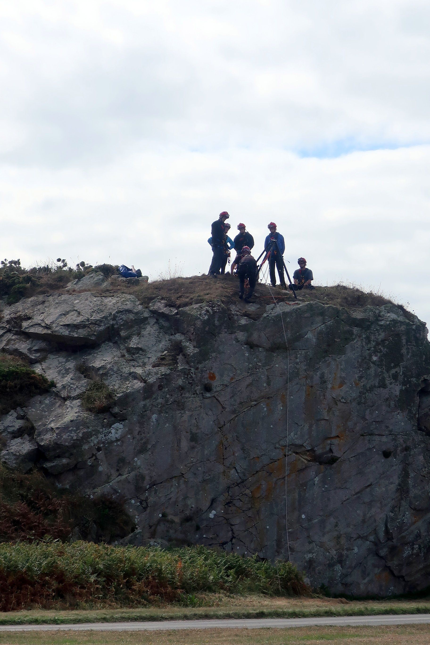
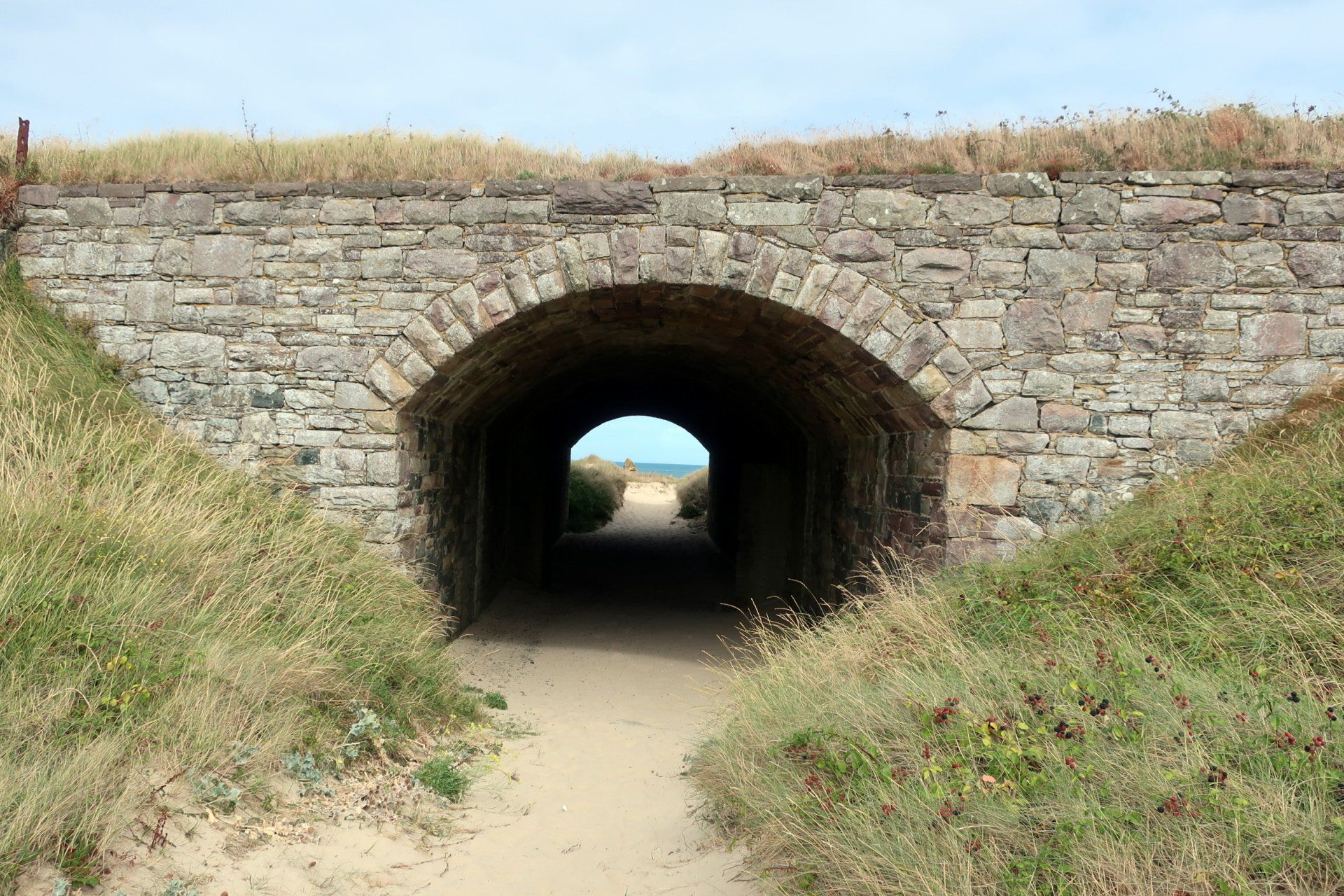
The next few miles are generally along the cliff path, interspersed with a few points of interest, including a couple more bunkers to explore. An odd one is the sentry box, literally a person sized capsule with observation slits. It just doesn’t seem a very sensible defence item – virtually no visibility and trapped in a tomb like box. I got in and it was seriously claustrophobic and that is with no door and daylight, imagine in the dark!
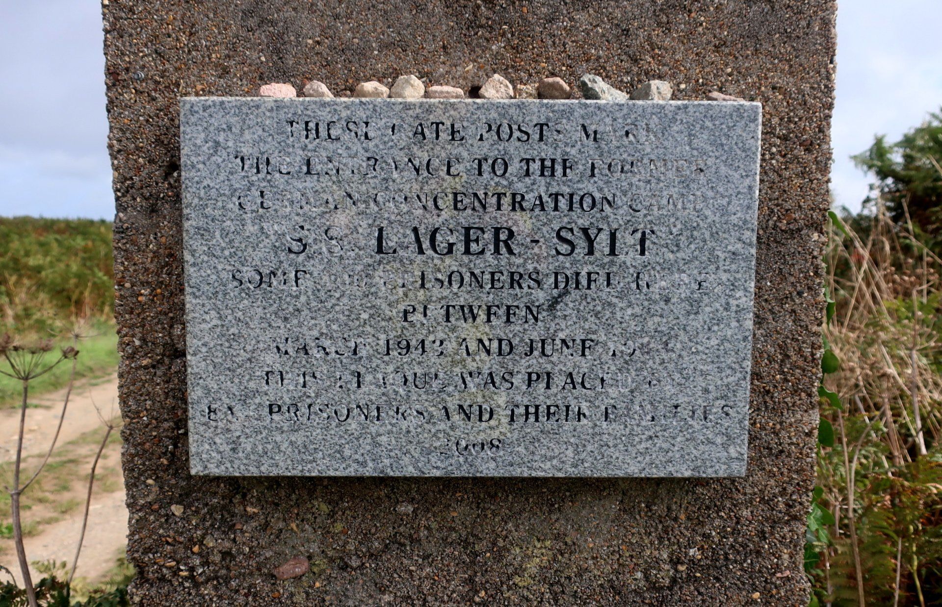
Alderney was unique in WWII, being British territory fully occupied by the Germans (with no remaining residents) with the Island used for labour or concentration camps, of which there were 4 on the Island. There were thought to be 6,000+ in the camps, some used as slave labour to build the fortifications, with 700 deaths either on Island or in transit. There is a commemorative plaque on the gate pillars of the Lager Sylt labour camp, although the message is largely worn away, otherwise no other mention that I am aware of. Whilst I can understand why the Island wishes to forget this history it feels worthy of something more than this fading plaque.
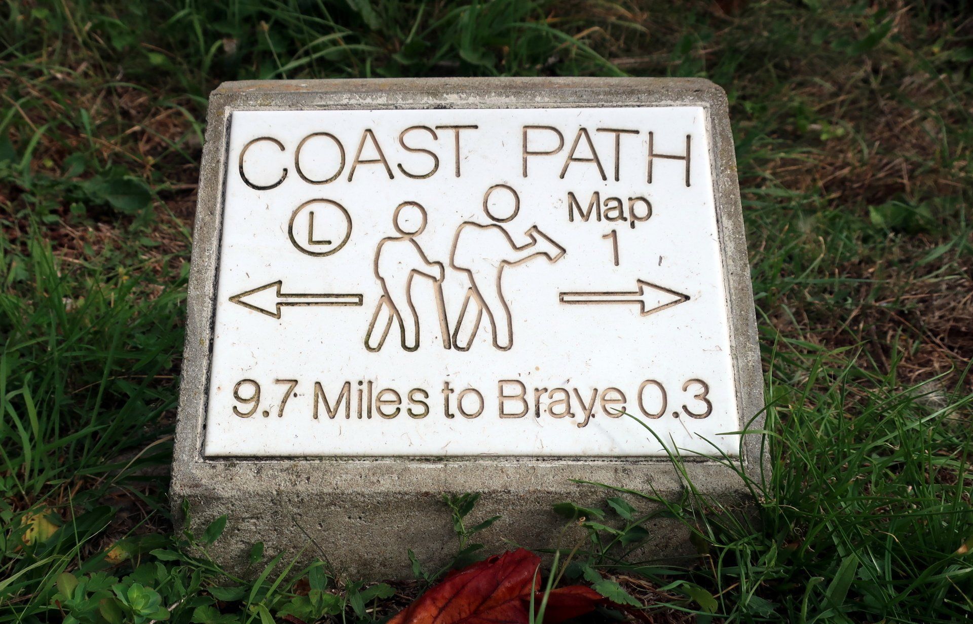
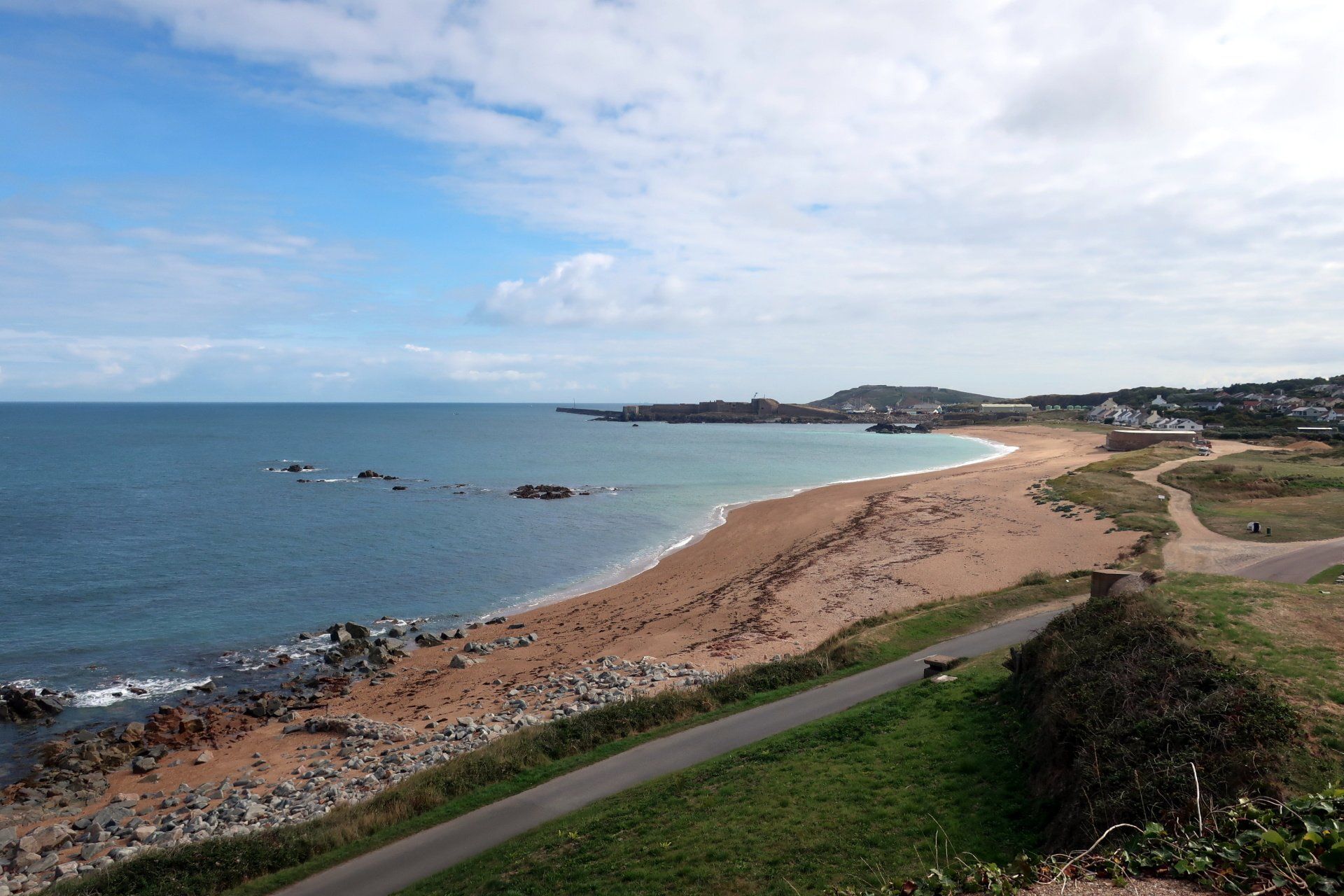
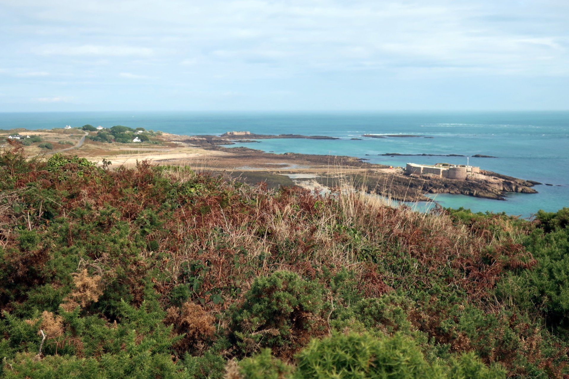
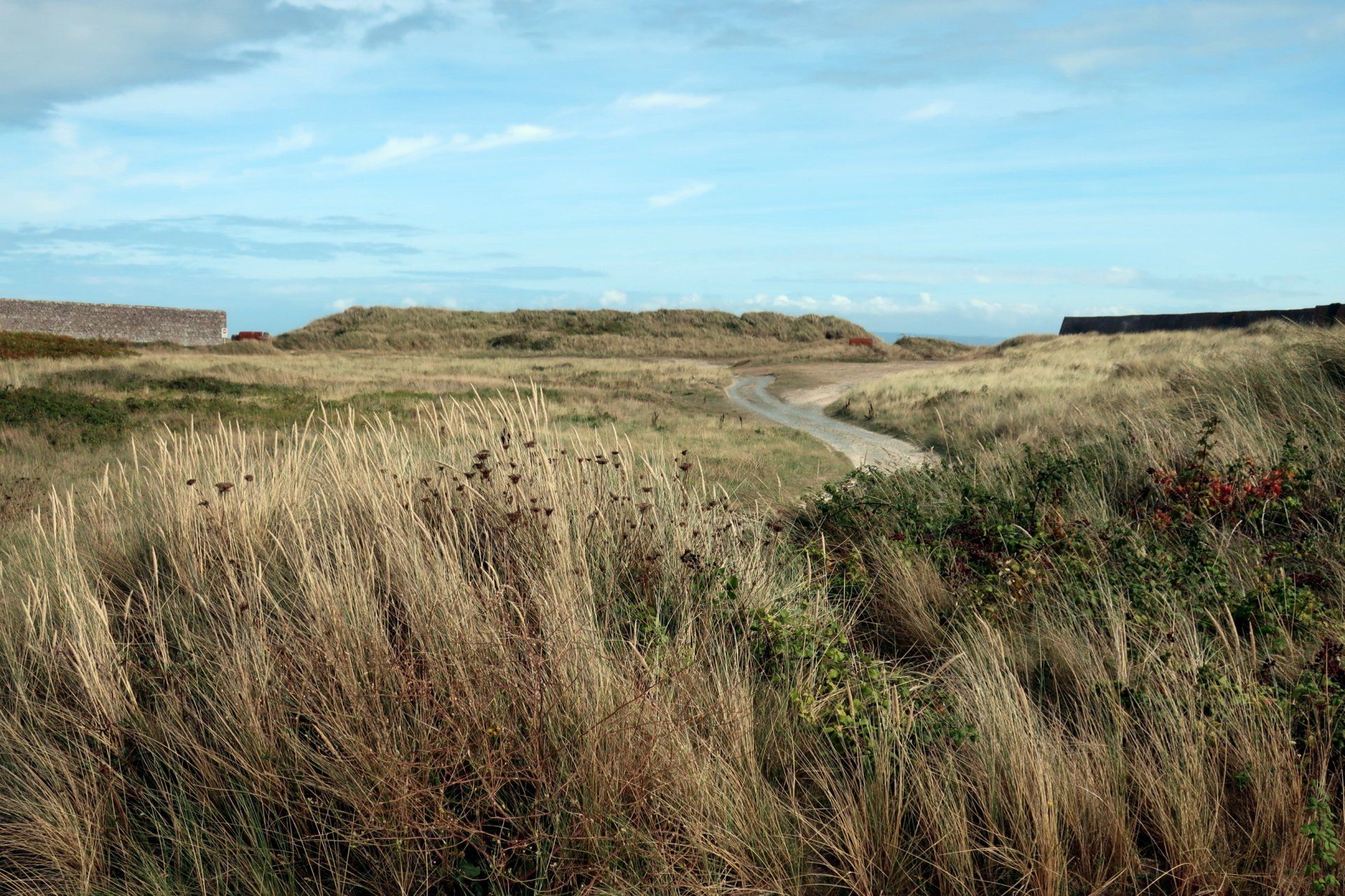
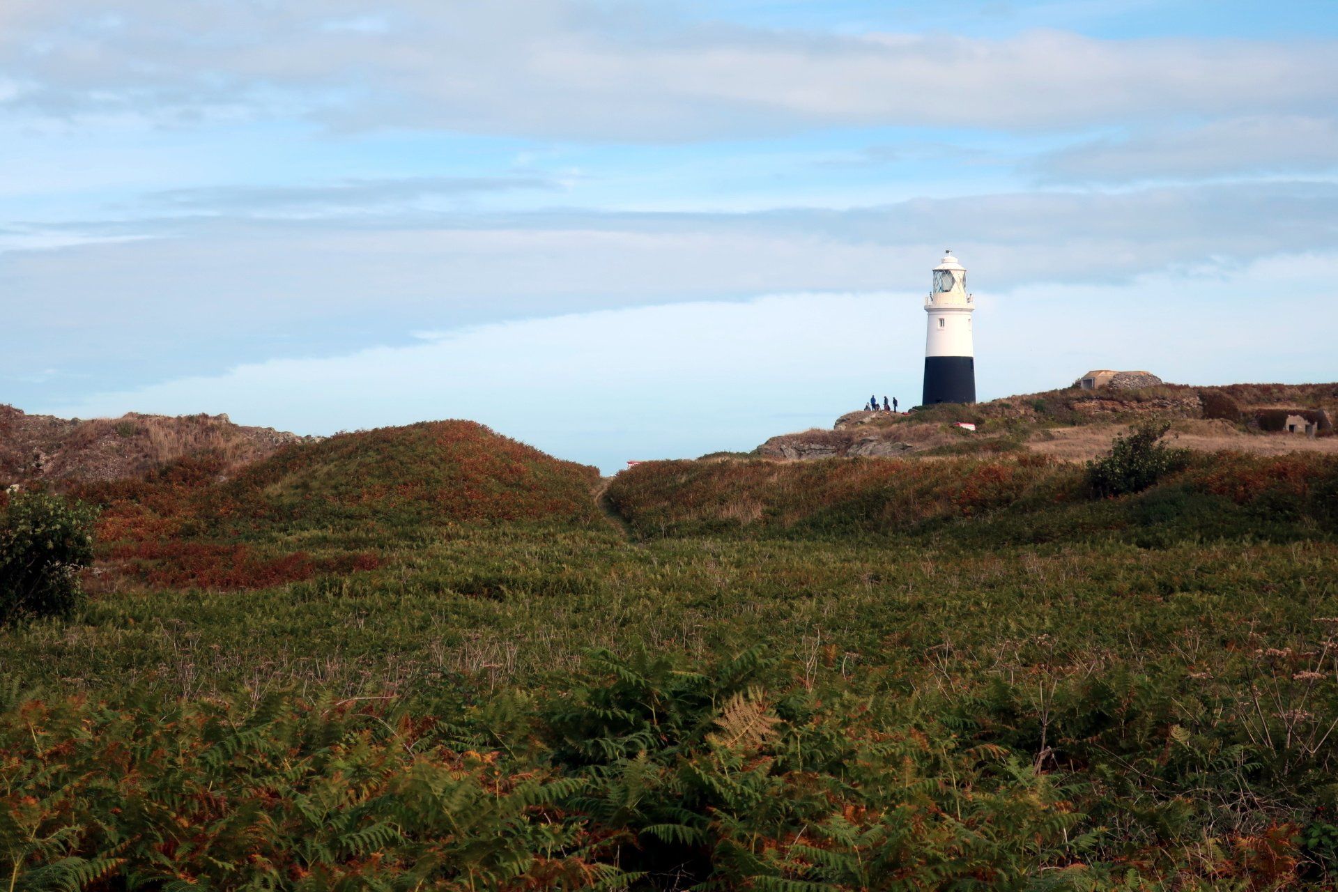
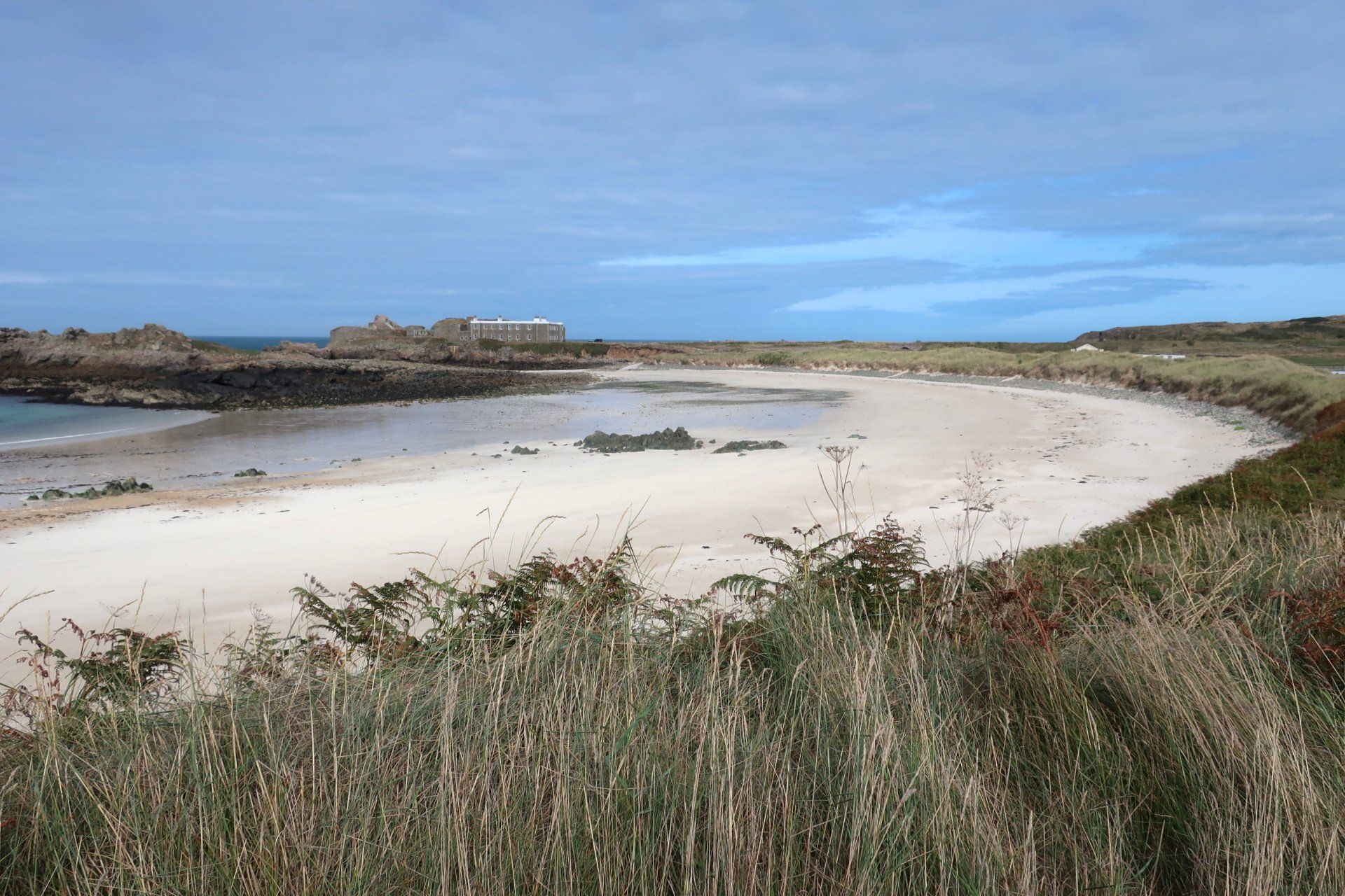
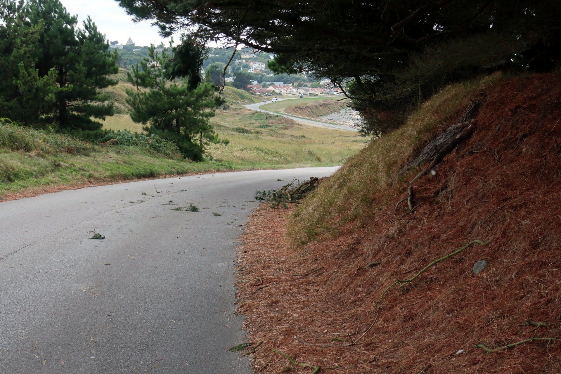
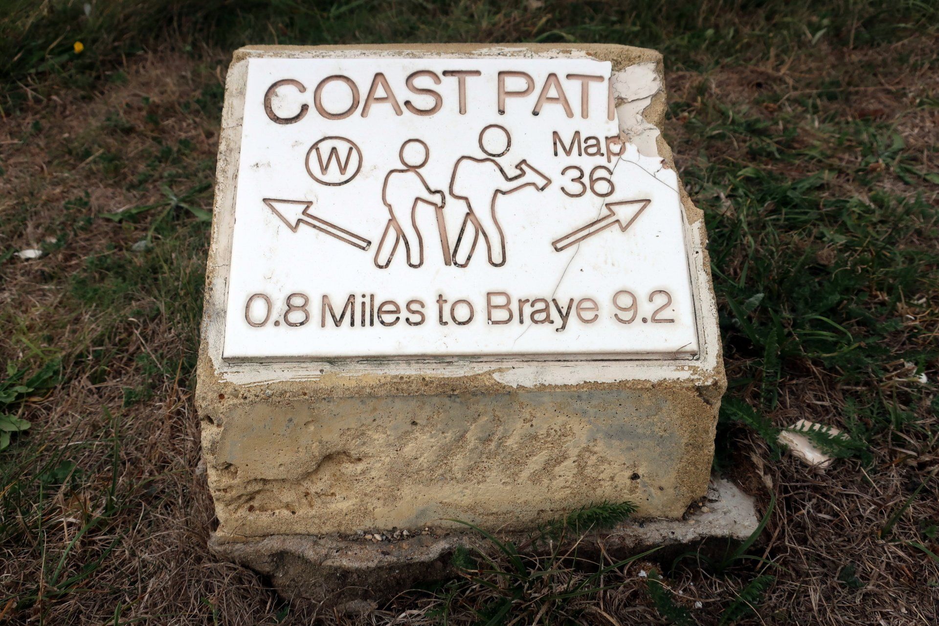
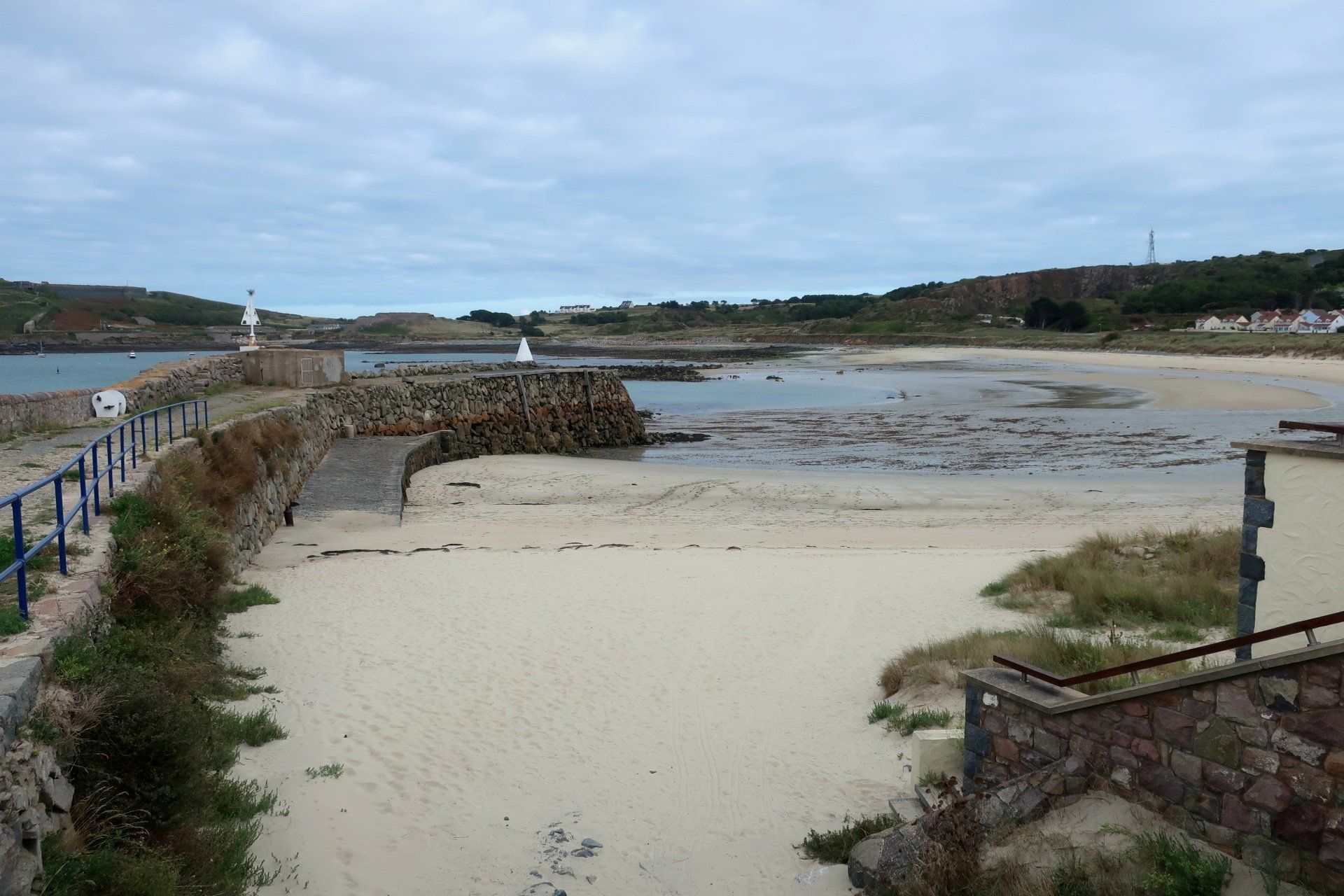
There is a 10-mile coastal walk way-marked by 36 stones, which I am broadly following other than a couple of extensions to cliffs, with stone number 16 generally around the point that I descend from the higher ground of the Island back to the lower lying, beach level, initially to Longis Bay.
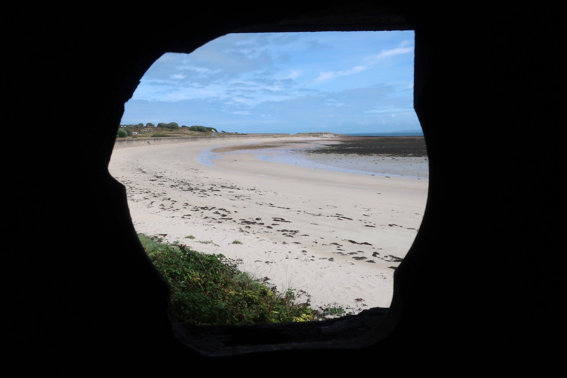
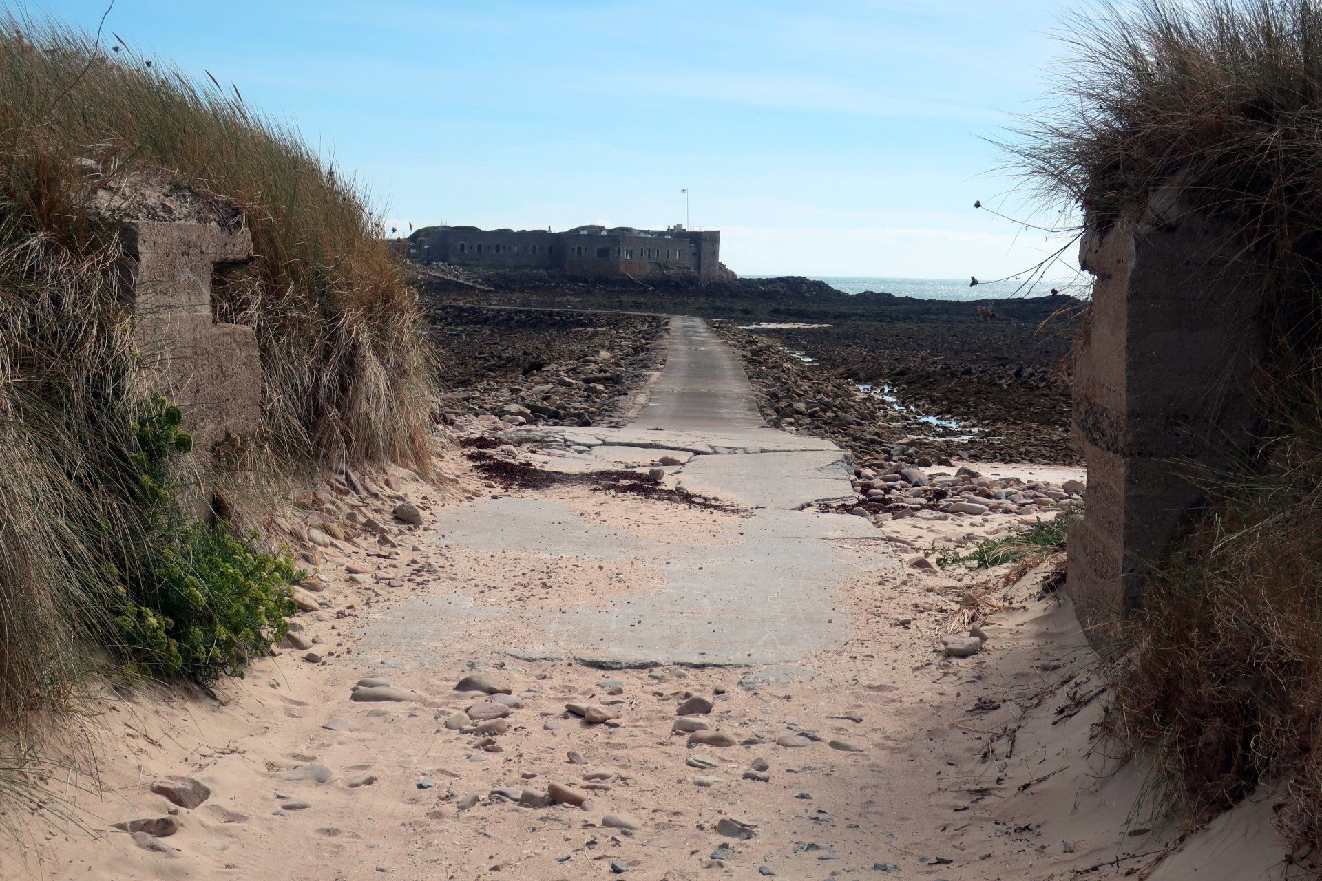
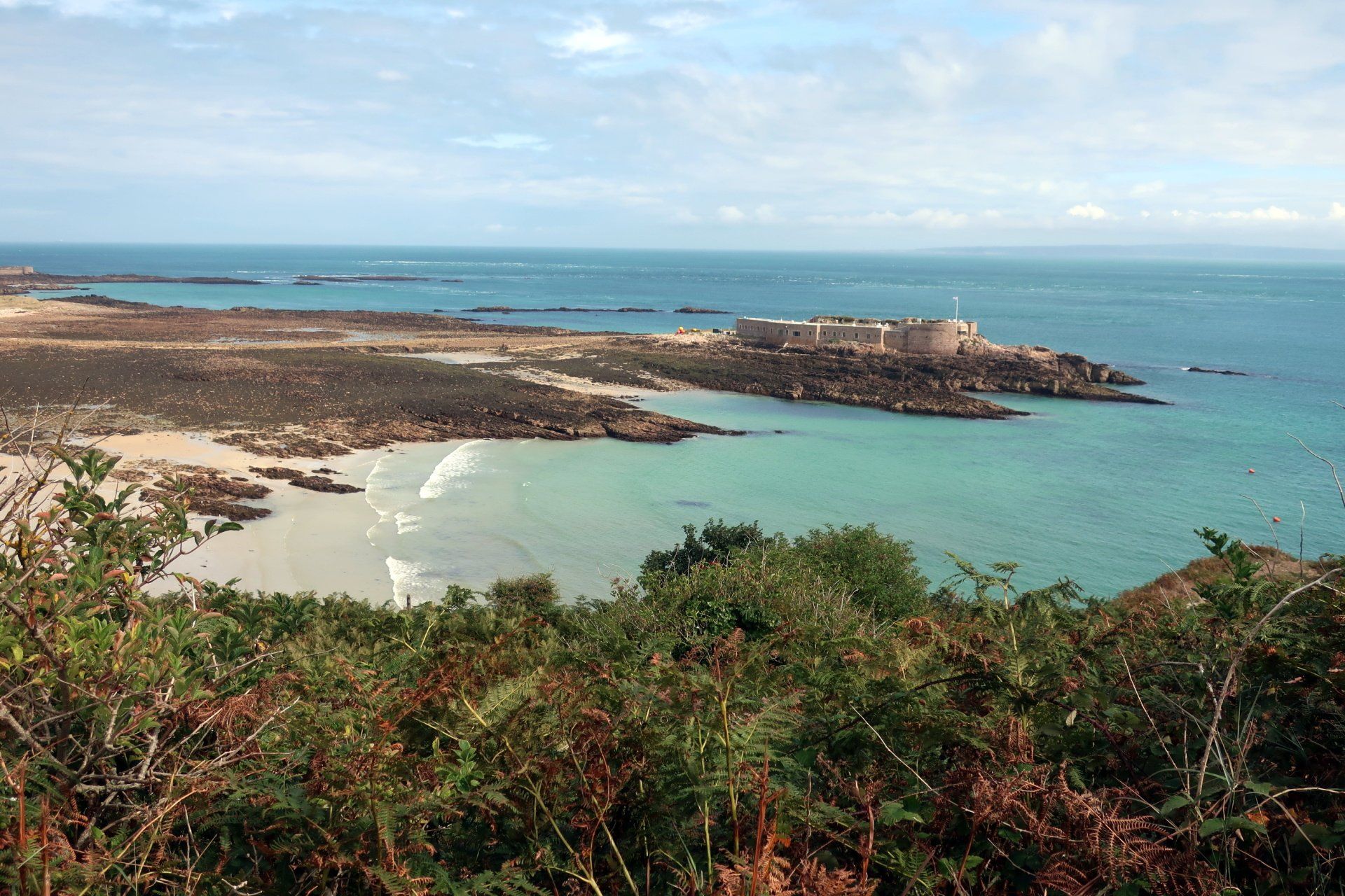
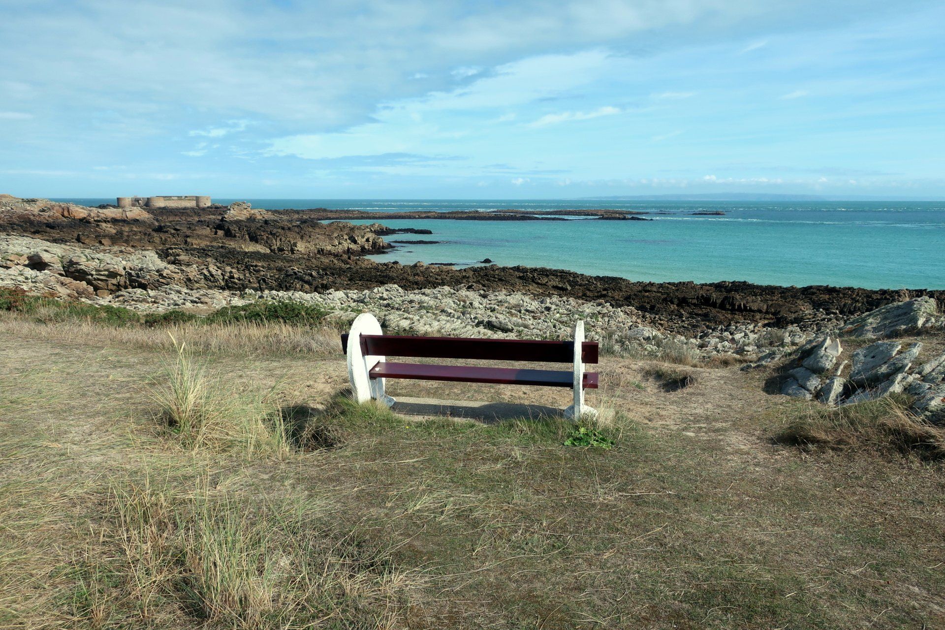
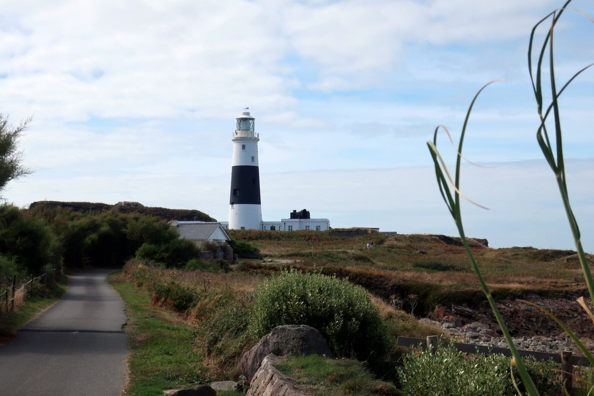
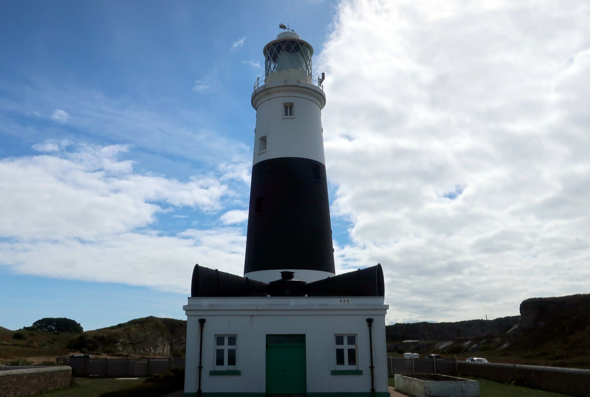
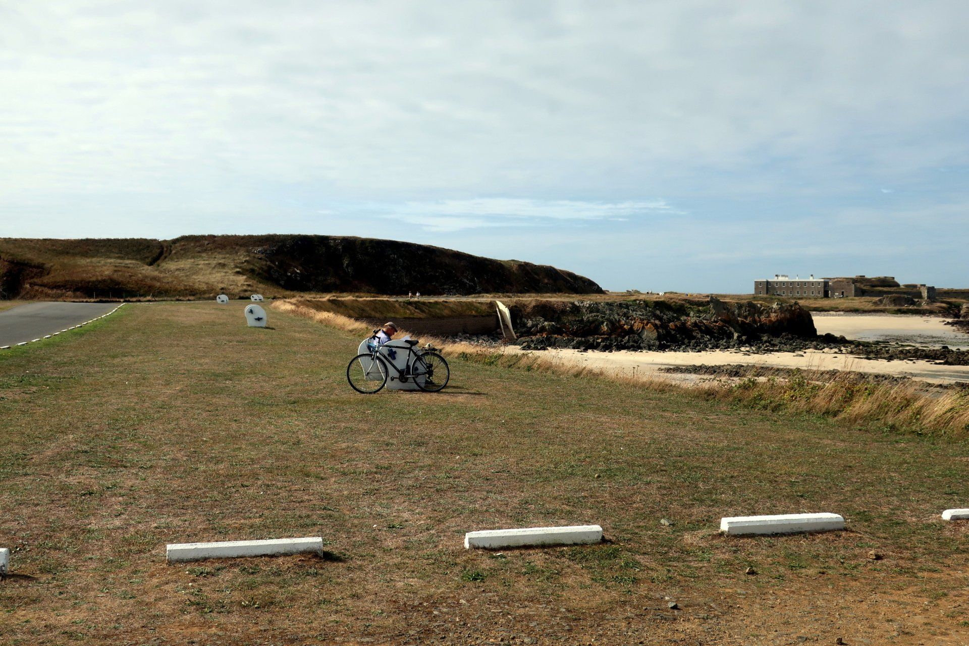
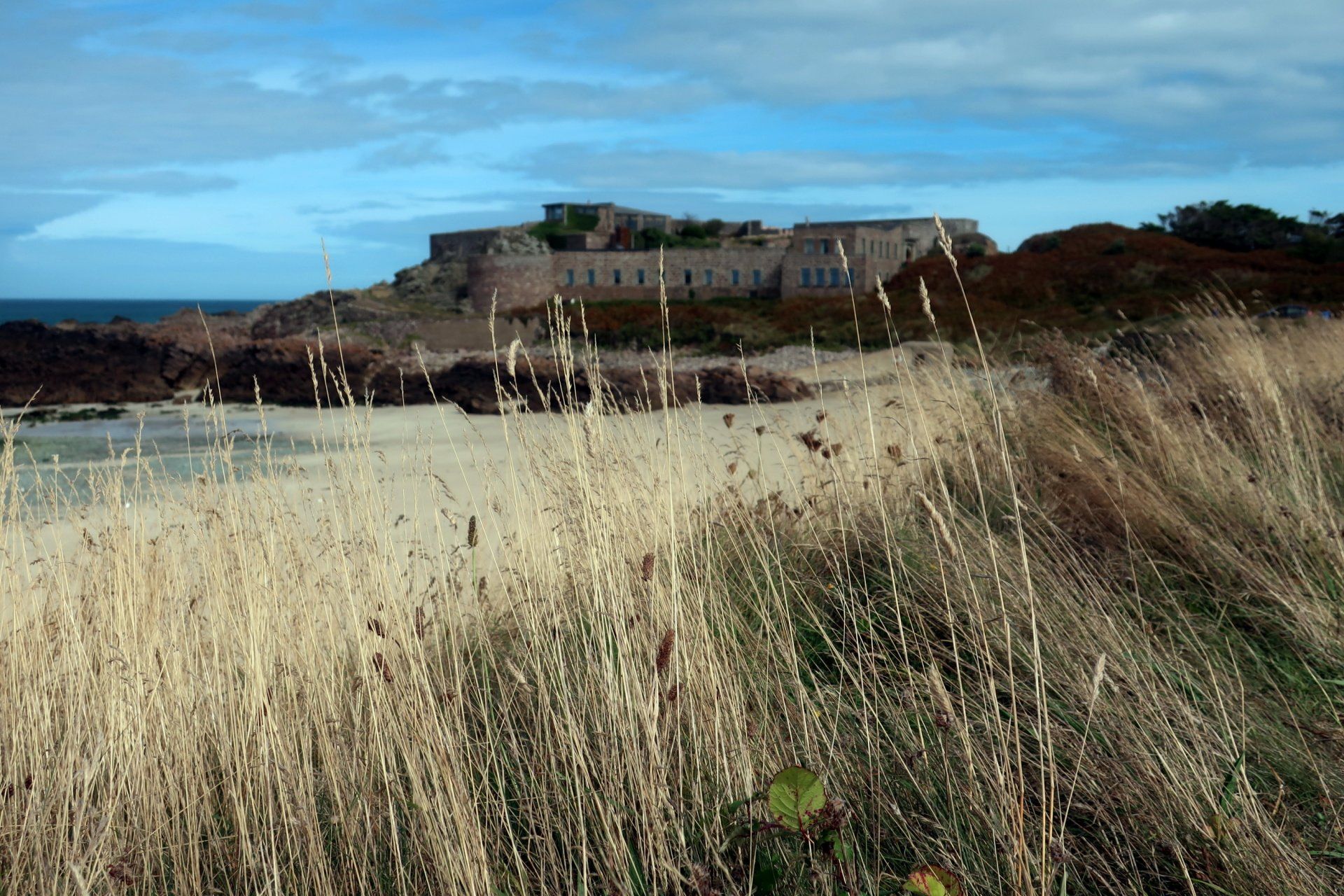
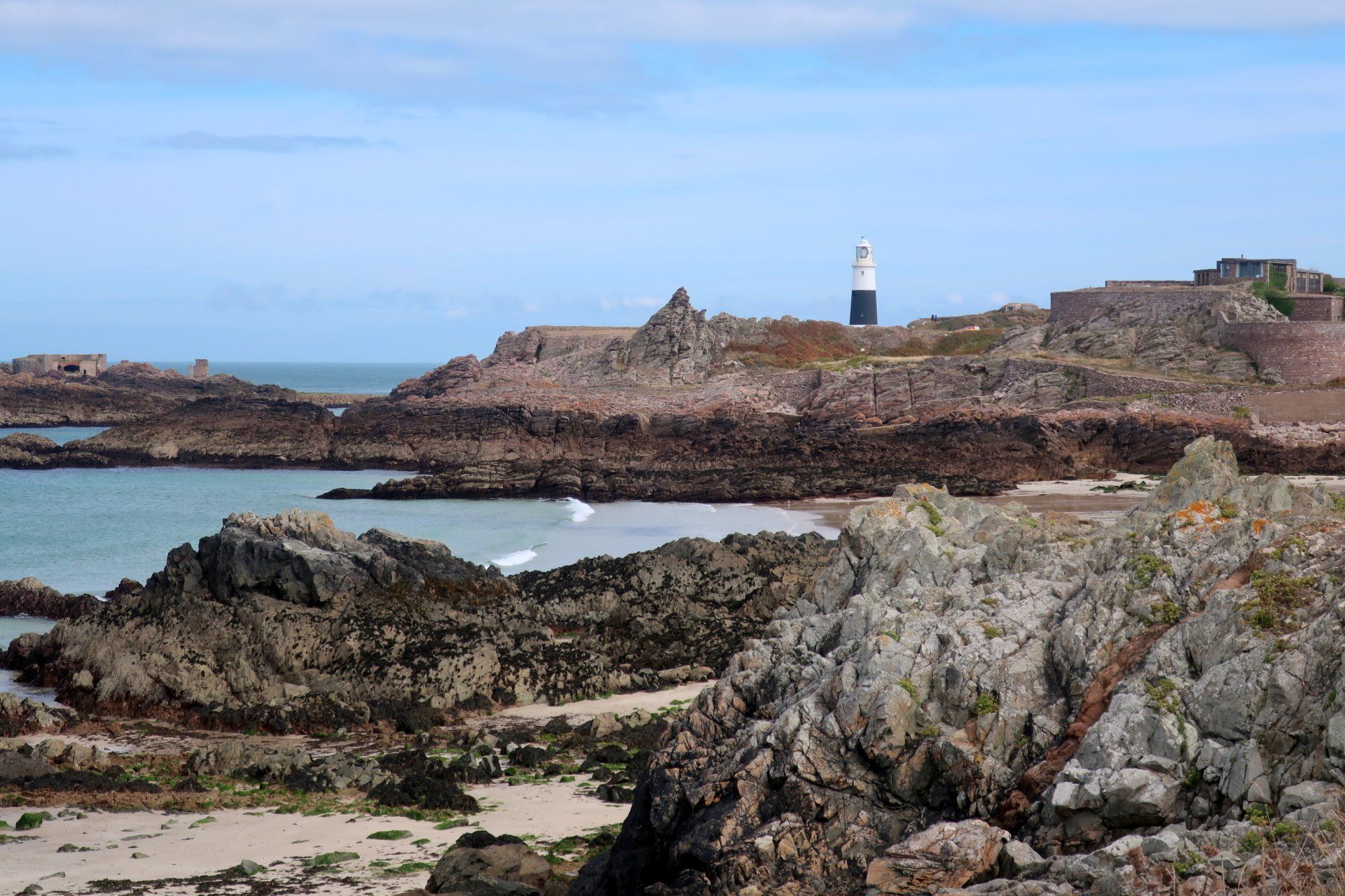
Around these beaches are dotted yet more old stone forts, a few slightly offshore with causeway access, plus WWII concrete fortifications, some of the latter inspected by me. Also worth a look is the very striking lighthouse and double fog horn at Mannez, good for the symmetrical photo shoot! Originally built in 1912 it remains operational.
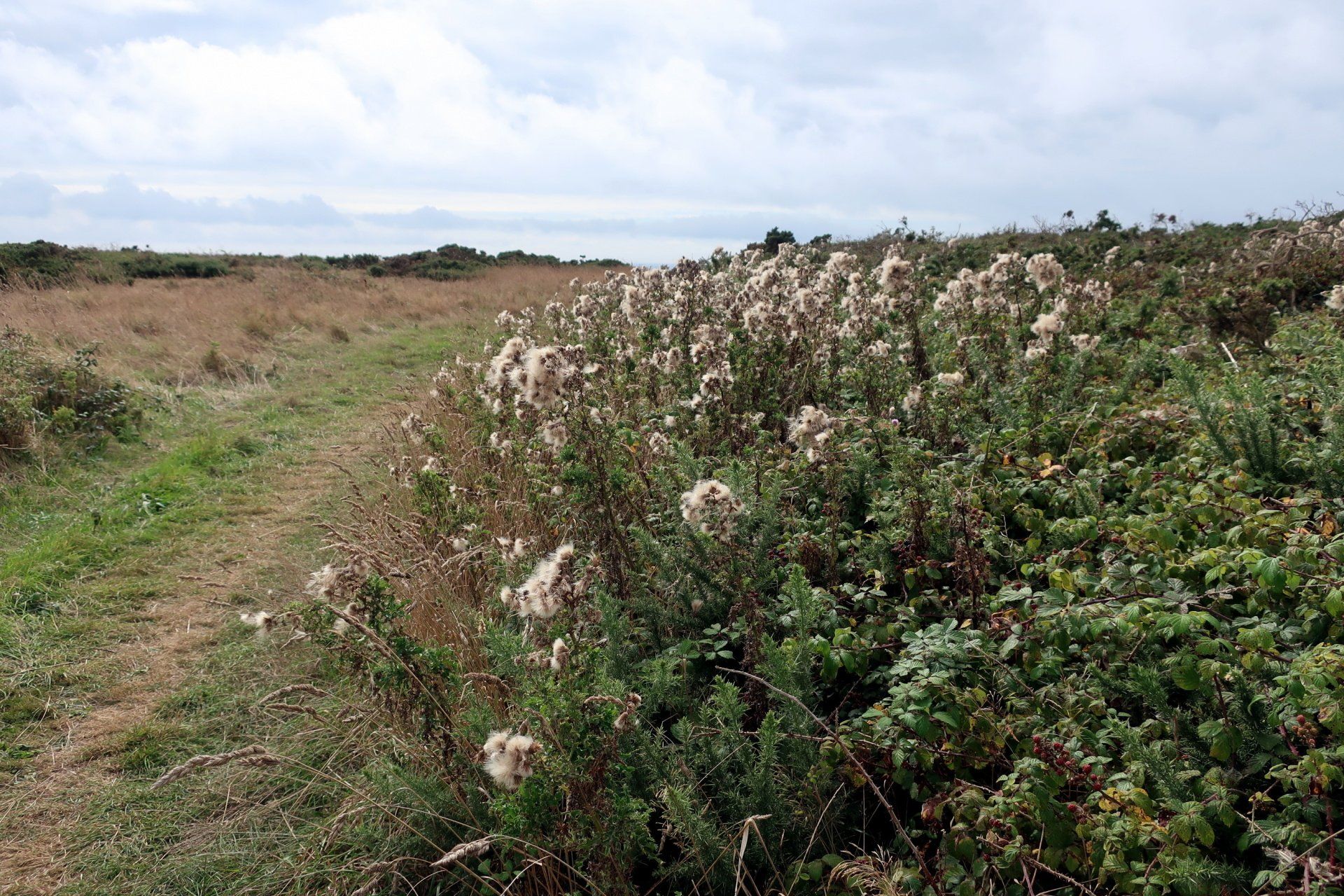
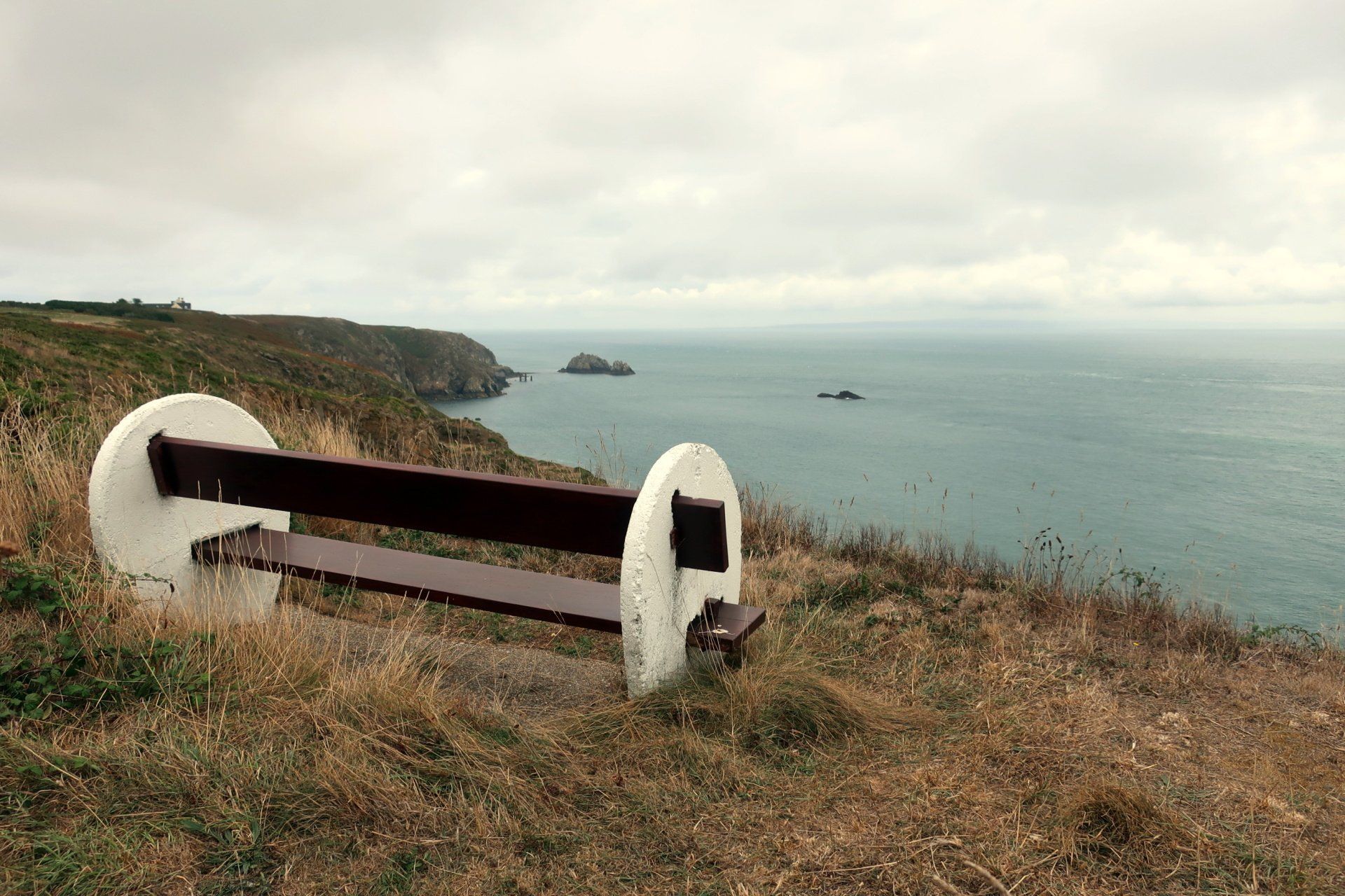
Just after the lighthouse I stop for some more food, this my second pit-stop on the circuit, both at benches with a view (in the photos). I brought my lunch today as I knew no food available, the one place perfect for a lunch stop (The Old Barn) closed on Mondays.
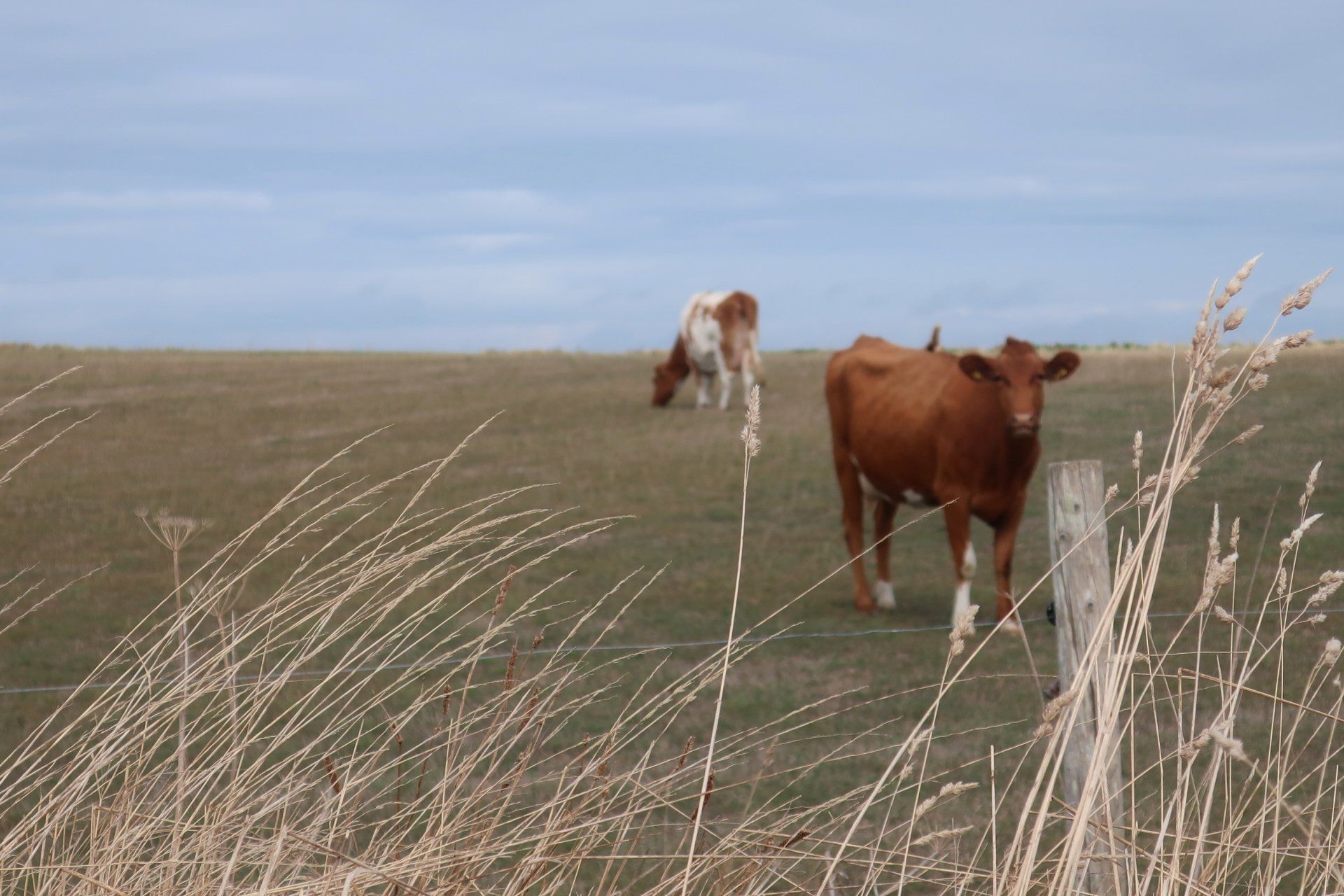
Around these areas I am passing a few people, several walking their dogs, this different from the higher areas where I passed only one other couple walking – that was it! It certainly gave the cliff areas a sense of isolation.
The weather today has been dry and a pleasant 19 degrees at maximum, however, there is no escaping the wind, perhaps only Force 3-4 but nevertheless always finding you. I thought it might be more sheltered up this end of the Island but seemingly not.
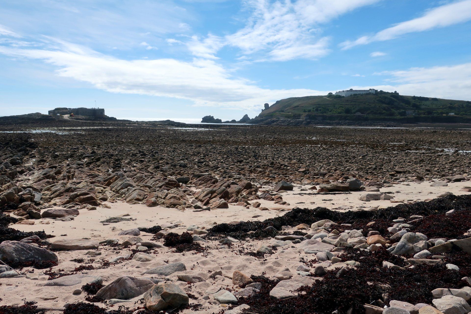
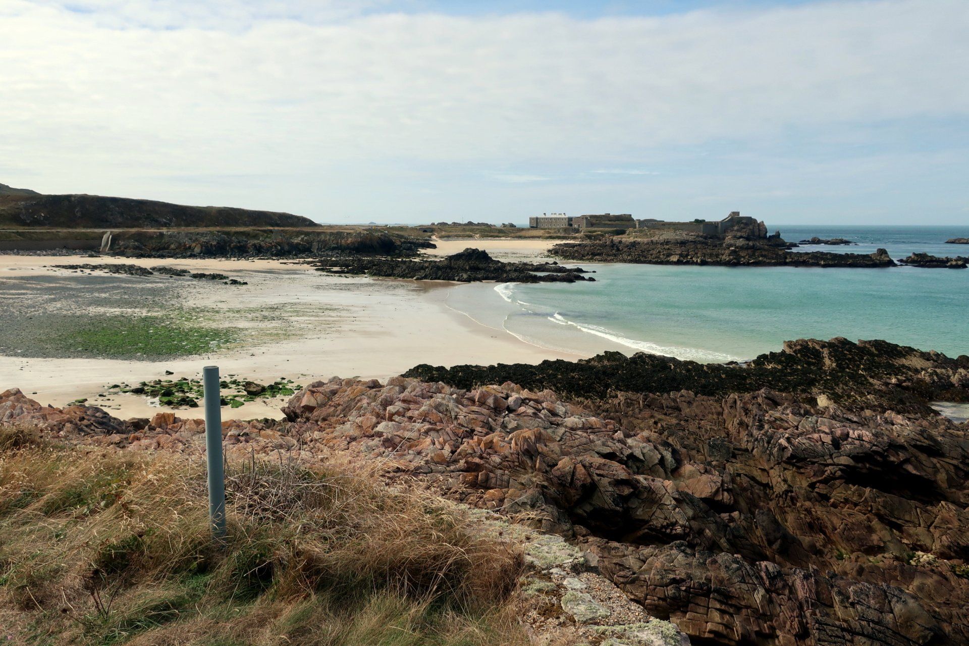
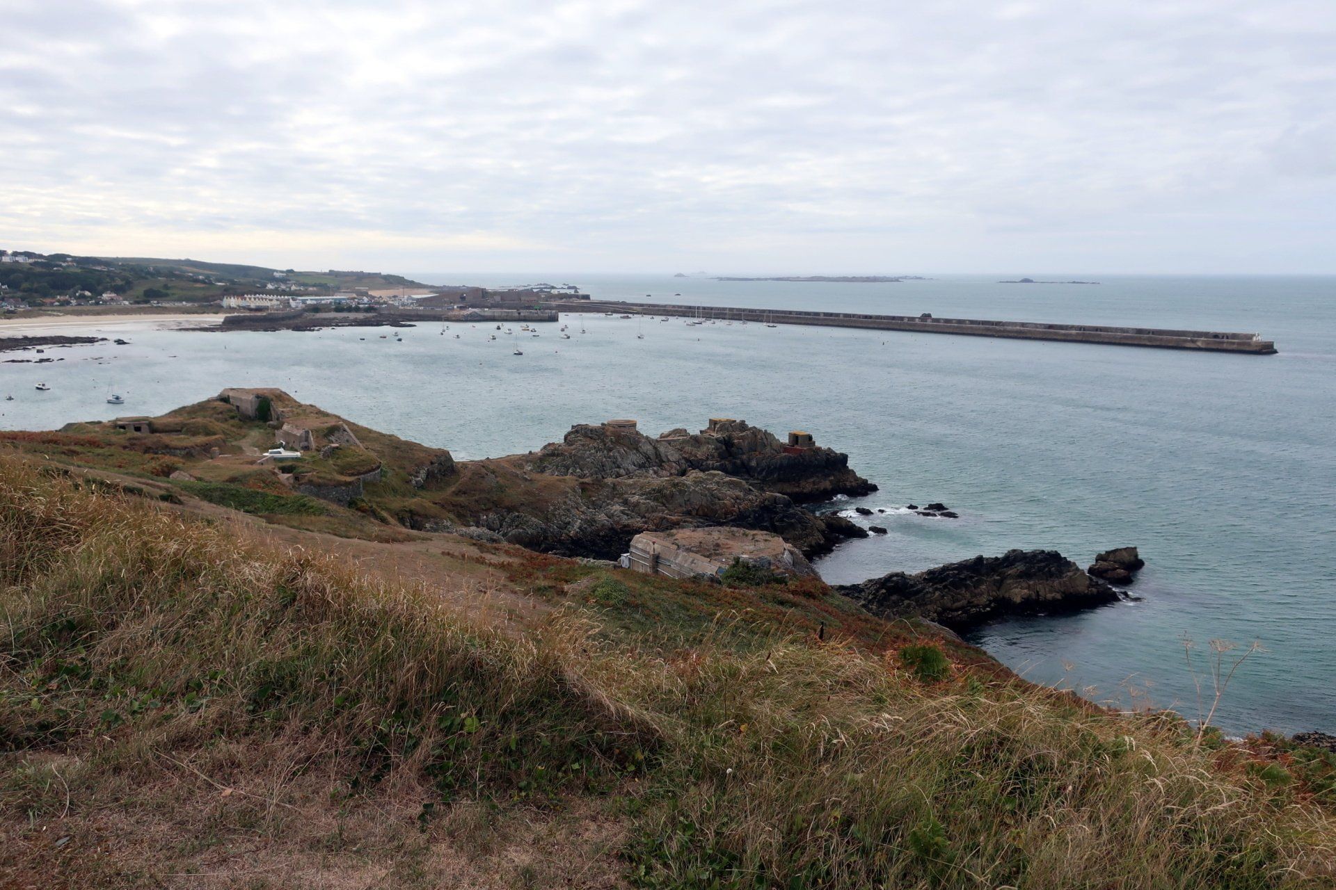
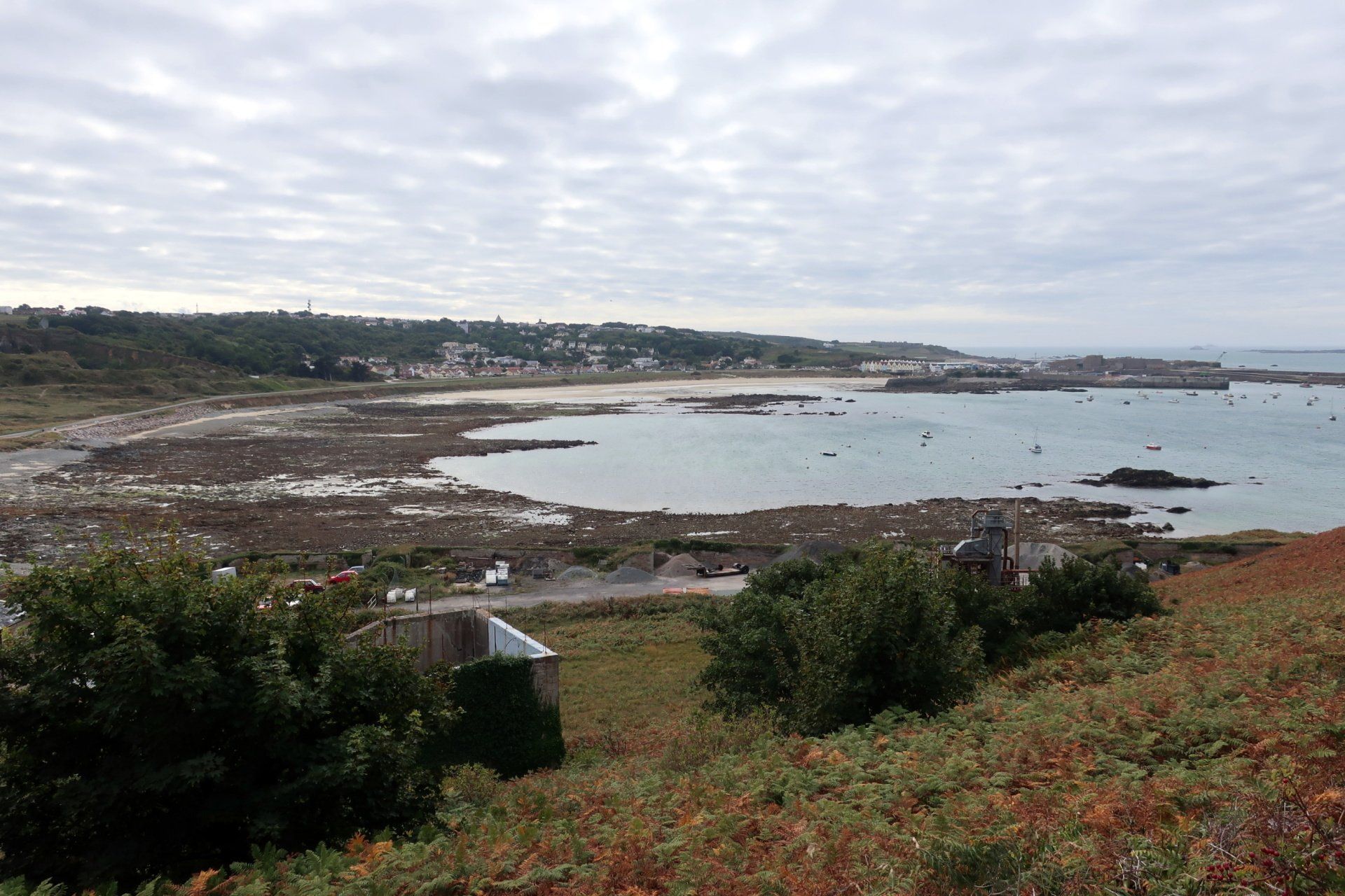
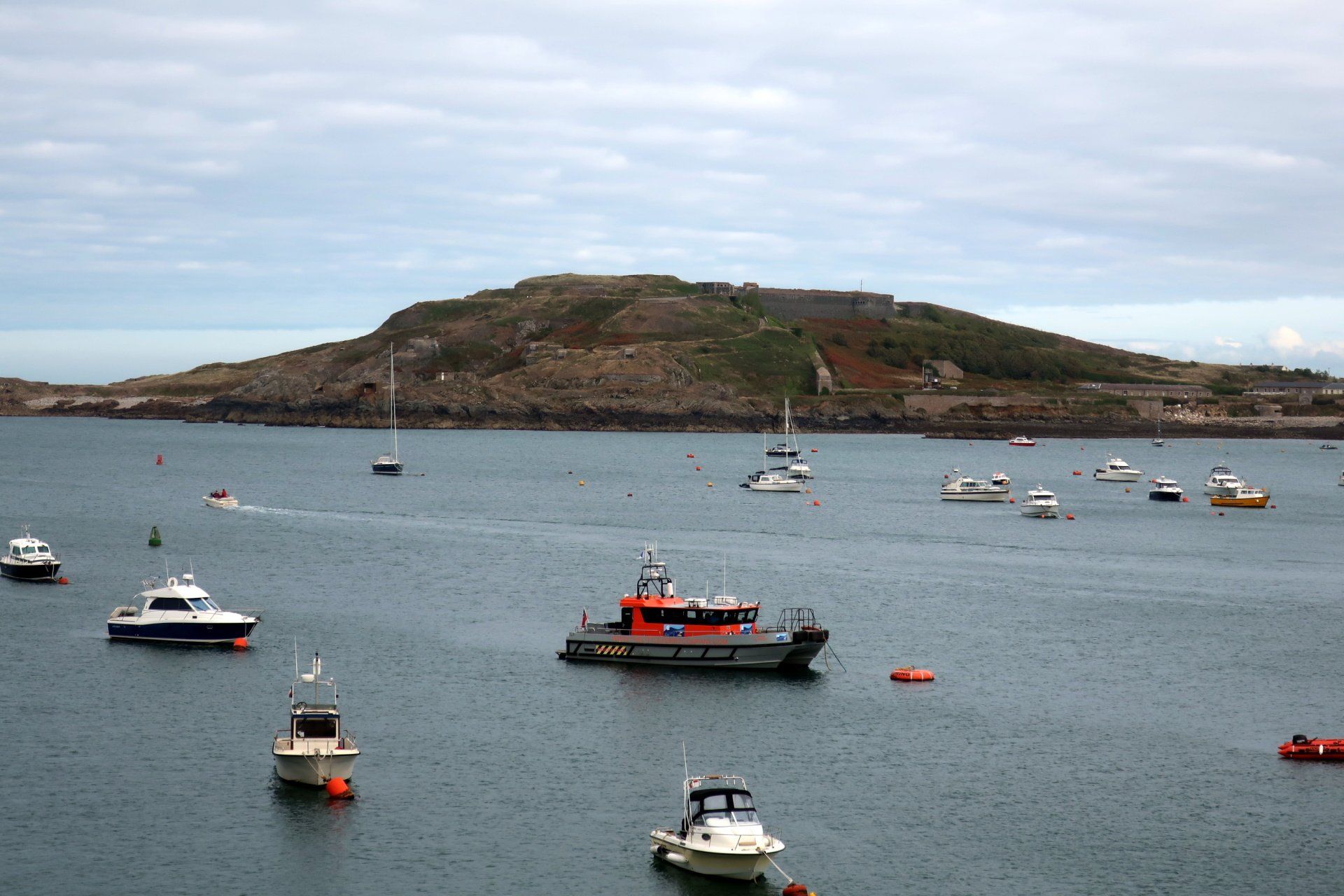
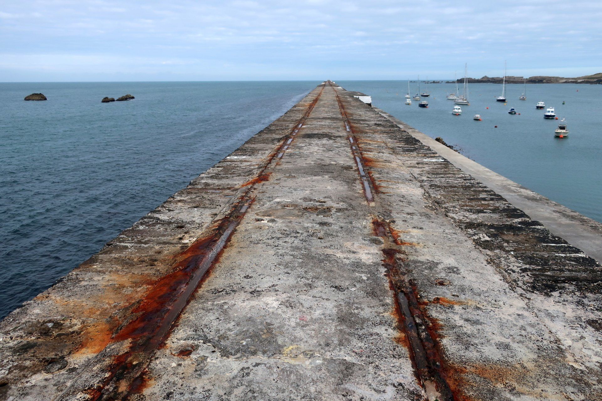
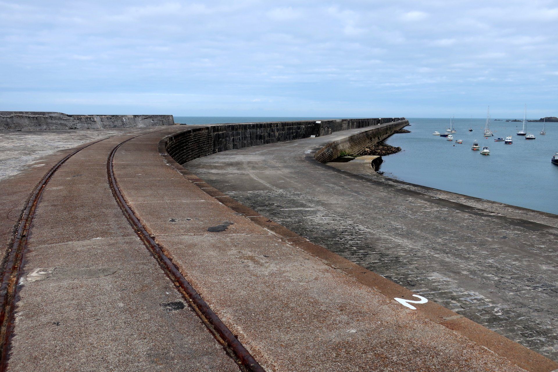
A last fort at the top of a hill, then Braye Bay is once again in sight, the breakwater stretching out. At 960 metres it is one of the longest breakwaters in the UK. I walk around the final piece of coastline until I reach that breakwater and take a stroll along the first part, peering carefully over the front edge. I can see it has been fortified in places, not surprising as it really takes a battering in storms.
From here I can see the “Spike Islander” moored in the harbour, indeed the low tide means it can’t reach the pontoon, so we have to go out on a tender to board for the 4:30 departure. Our trip home is fun, there is a decent swell and the first part in particular is very bouncy. Our seats have some sort of suspension system, which cushions the ride, novel.
And so my day in Alderney completes. It is something of an outpost to the other Bailiwick Islands and has a certain ‘out there’ feel that is different. Whilst it doesn’t have the beauty of, say, Sark, it has a wild charm and is certainly fascinating with the preponderance of forts and history. Yet again, it makes this CI Way special, the Islands have so many similarities but all have individual character, offering more diversity than you would think. Good stuff.
Stats: 14.2 miles, 4hr 42mins moving, 5hr 51mins total, Average moving 3 mph, 2044 ft Ascent