Dales High Way- Day 3
MONDAY 16TH JULY: Day 3 and anything could happen today given the weather forecast. Starting grey and drizzly the chances are for heavy rain or thunderstorms later – is this hot spell going to finally break?
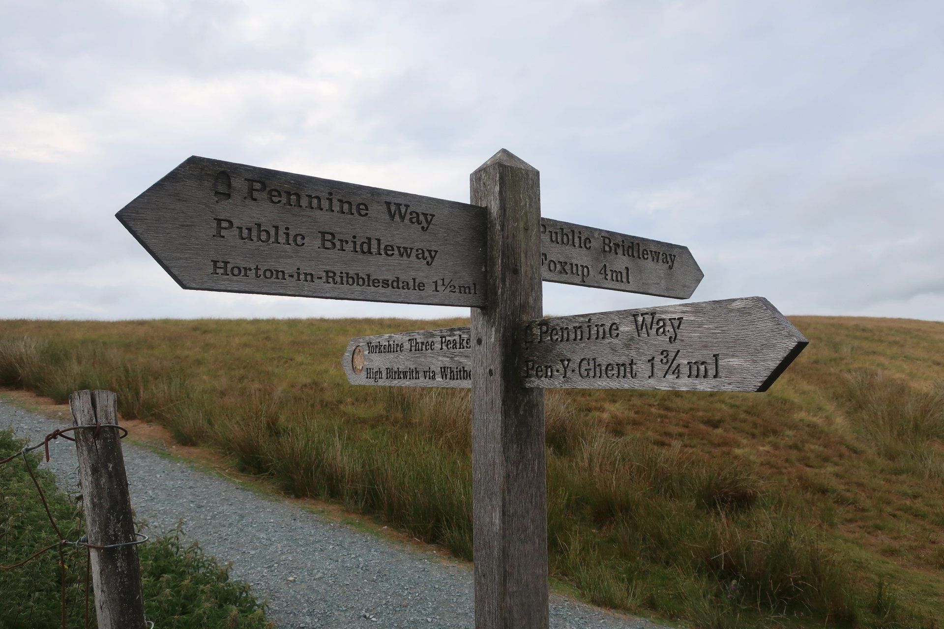
I am ending at Horton-in-Ribblesdale (HOR) today, chosen deliberately to keep my options open as I want to climb all 3 of the Yorkshire Peaks, weather permitting. So, the plan today is to follow the DHW path to Stainforth but then take the optional diversion over Pen-Y-Ghent (PYG).
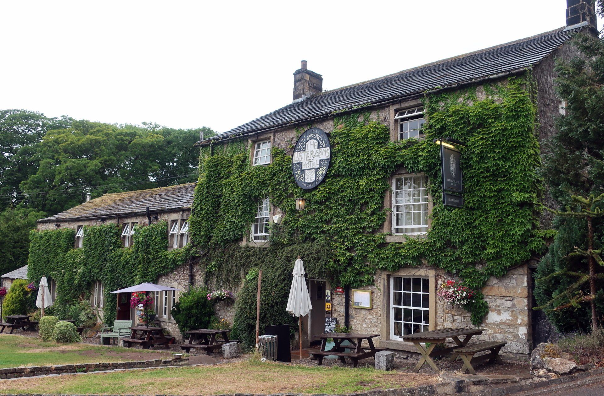
I prepare for the day with a hearty bowl of porridge and say farewell to the Lister Arms, probably the best B&B I have stayed at in the couple of LDW’s I have done.
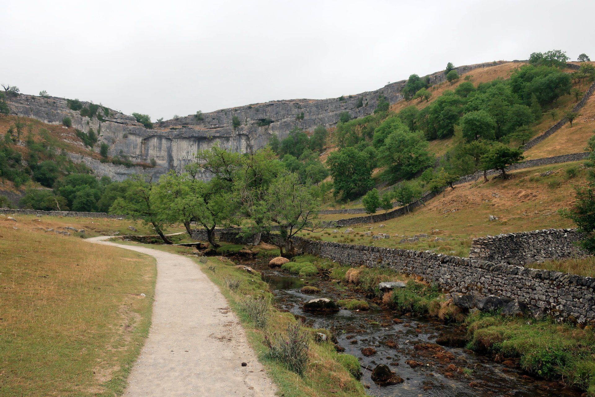
The skies are overcast but it remains relatively warm as I head back up to Malham Cove, then climb the 400 or steps to the top, which definitely heats me up. It is a bit different up here compared to yesterday – now is grey, damp and I have the place to myself. I tread very carefully on the smooth limestone, slippery in the damp conditions, which turn to wet as a light rain begins.
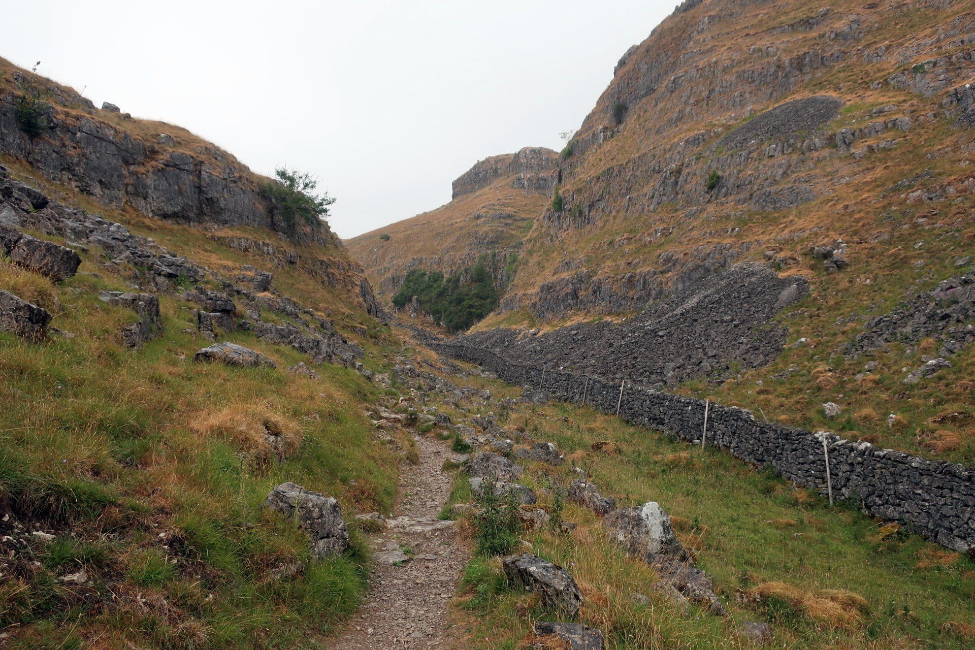
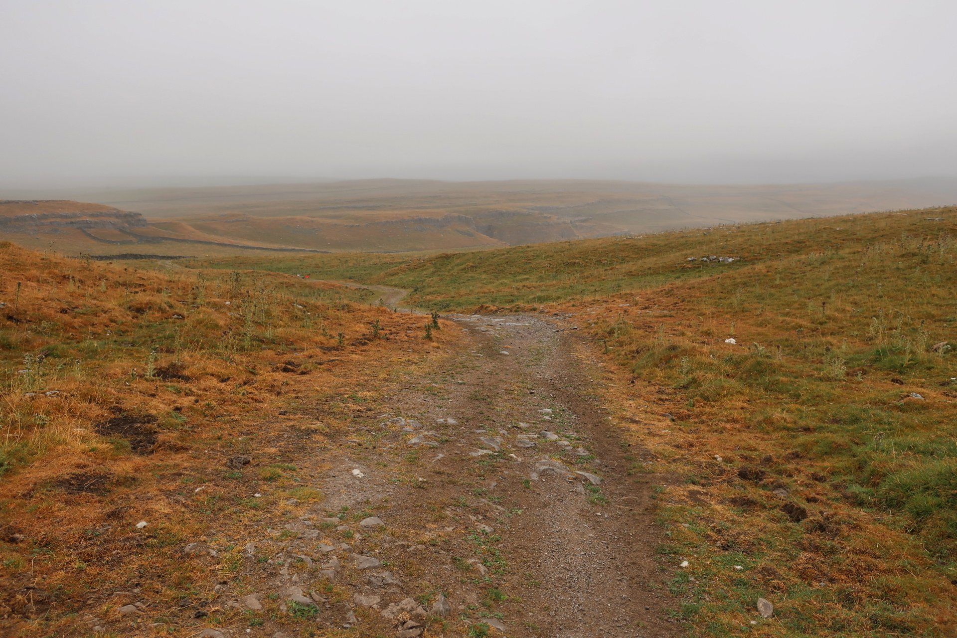
I do like Malham Cove (in all conditions) but one last look back, then I move on up the valley – ironically called Dry Valley. The trail narrows into a V, a mixture of grass and liberal sprinkling of limestone rocks, stones and steps, all very slippery so I rather gingerly make my way up.
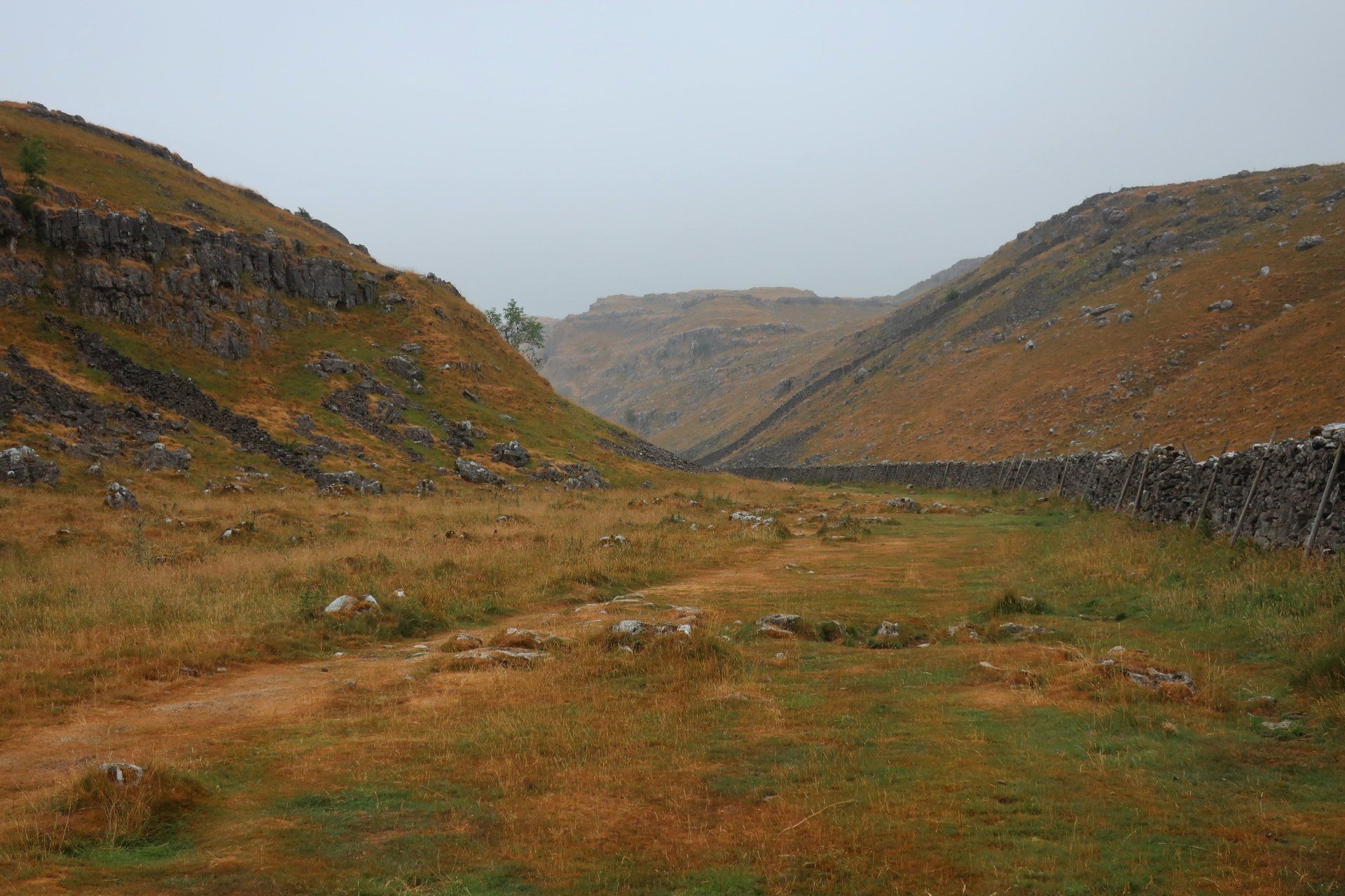
At the top there is a section of moorland and I get into wet gear as although the rain is relatively light the area is exposed and with a bit of a wind so I need to be wrapped up. I pass a group of youngsters about to set off, all kitted out and receiving instructions from their leader, maybe DOE expedition or something?
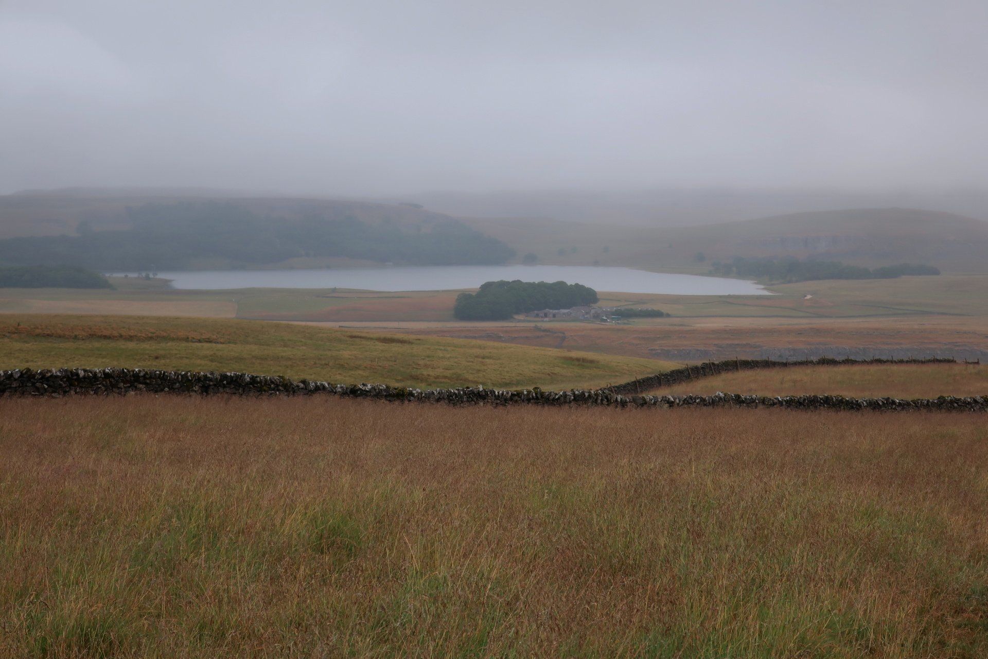
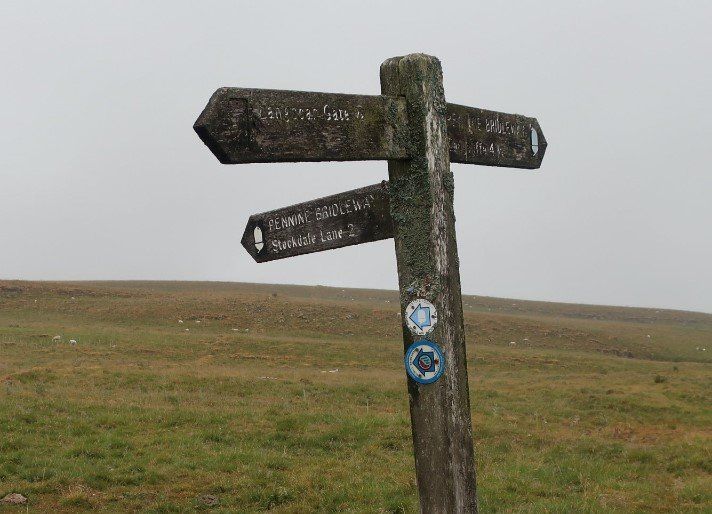
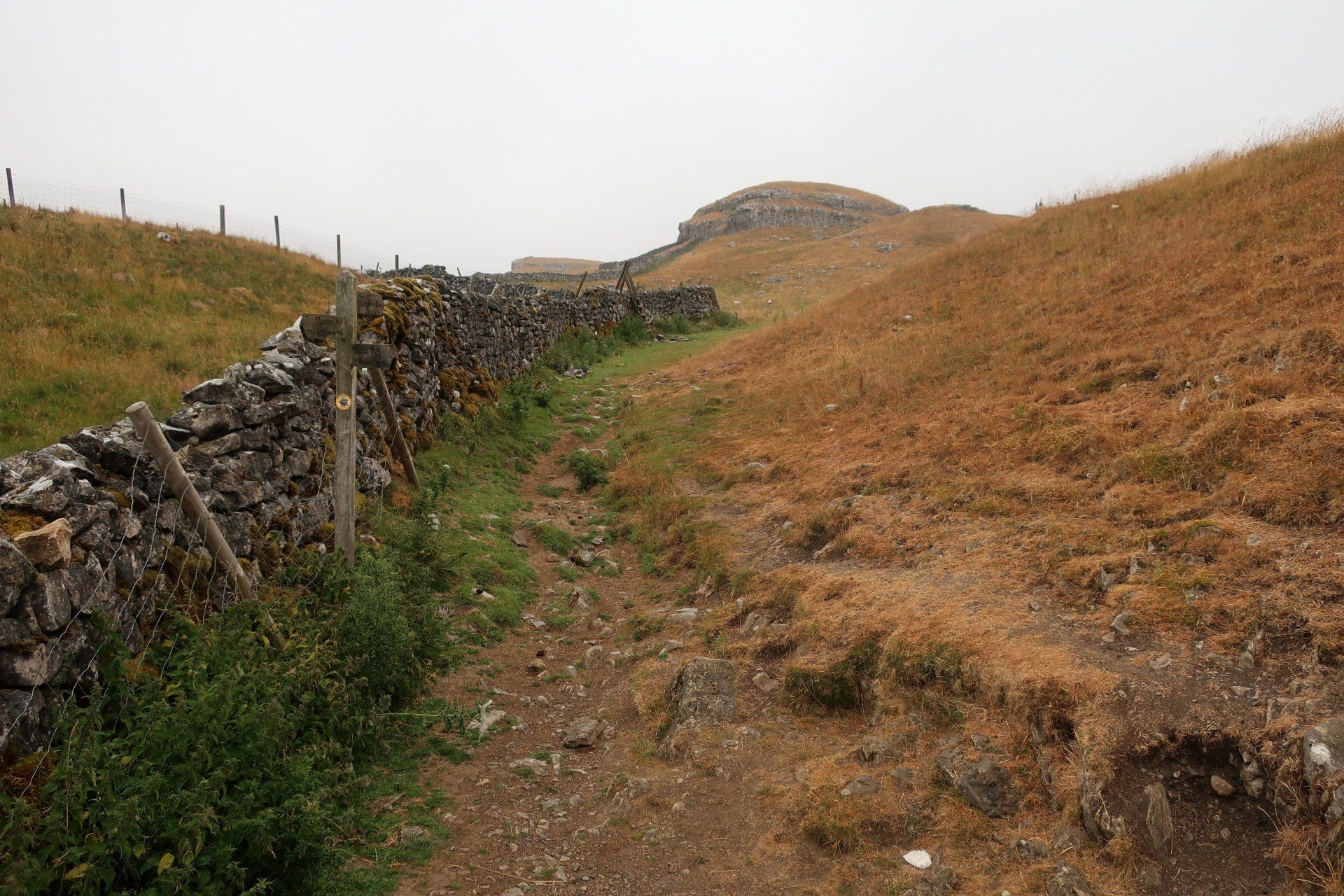
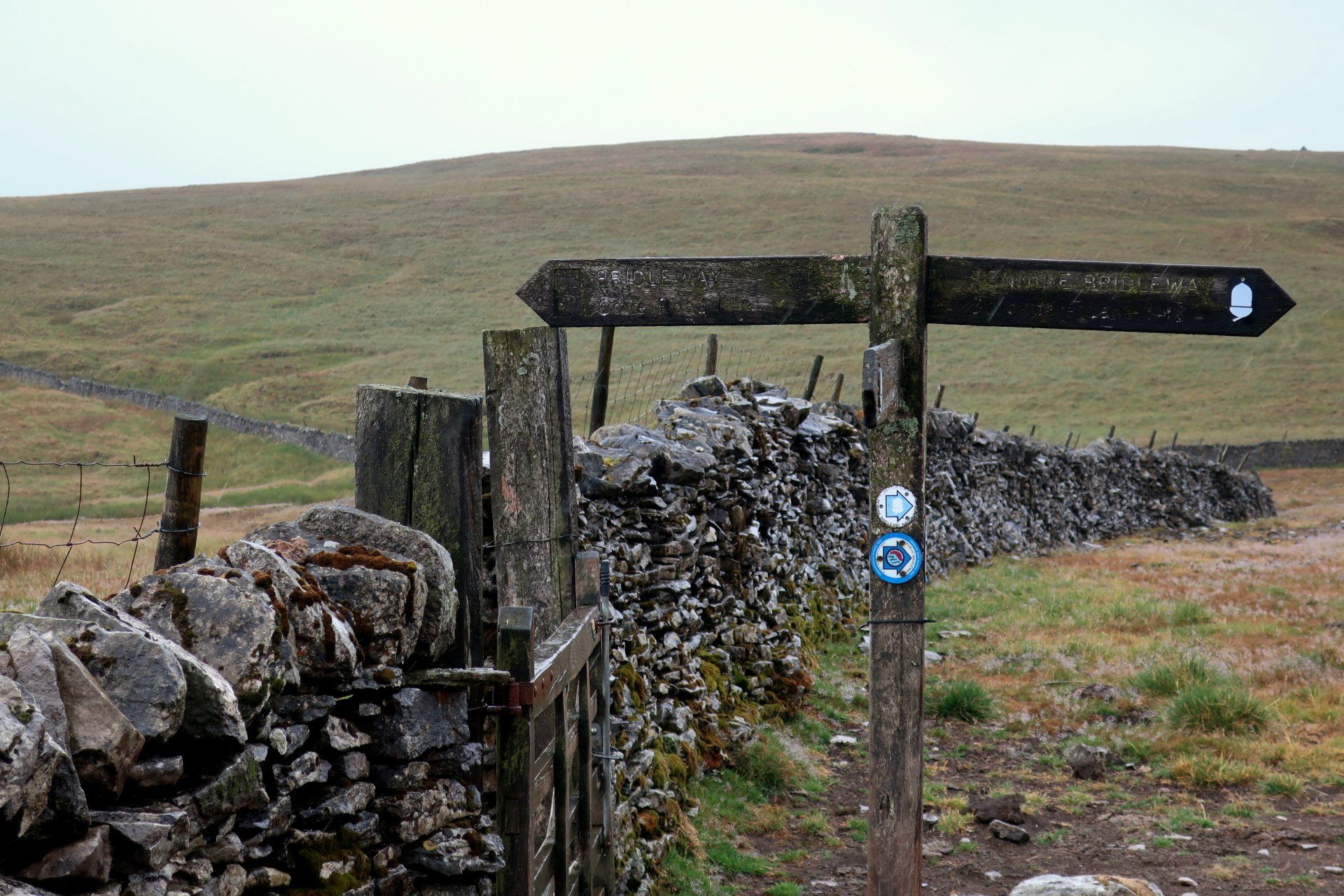
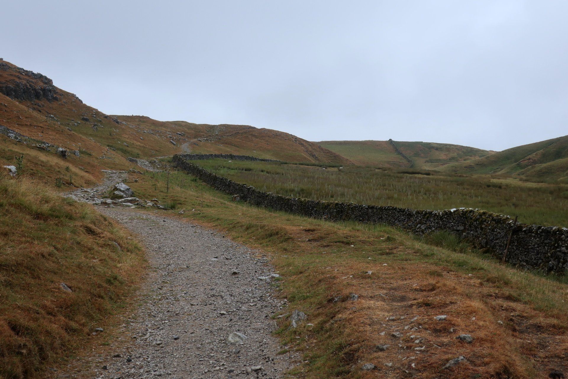
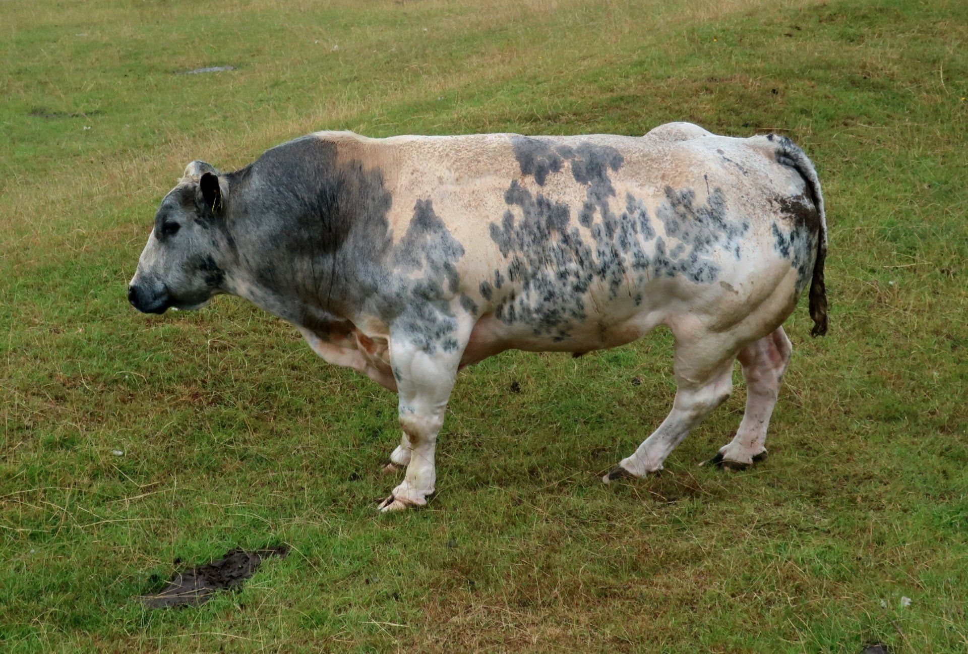
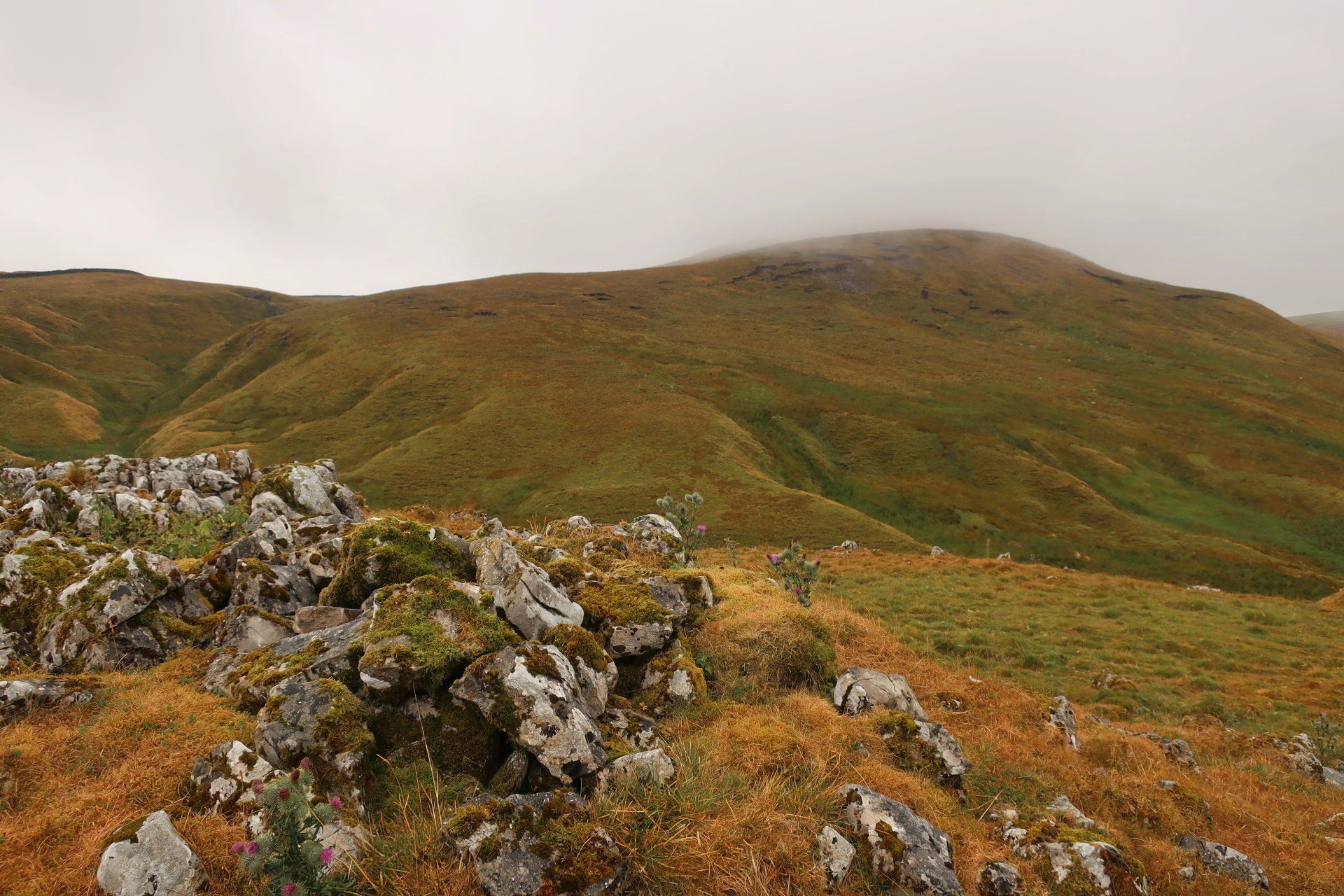
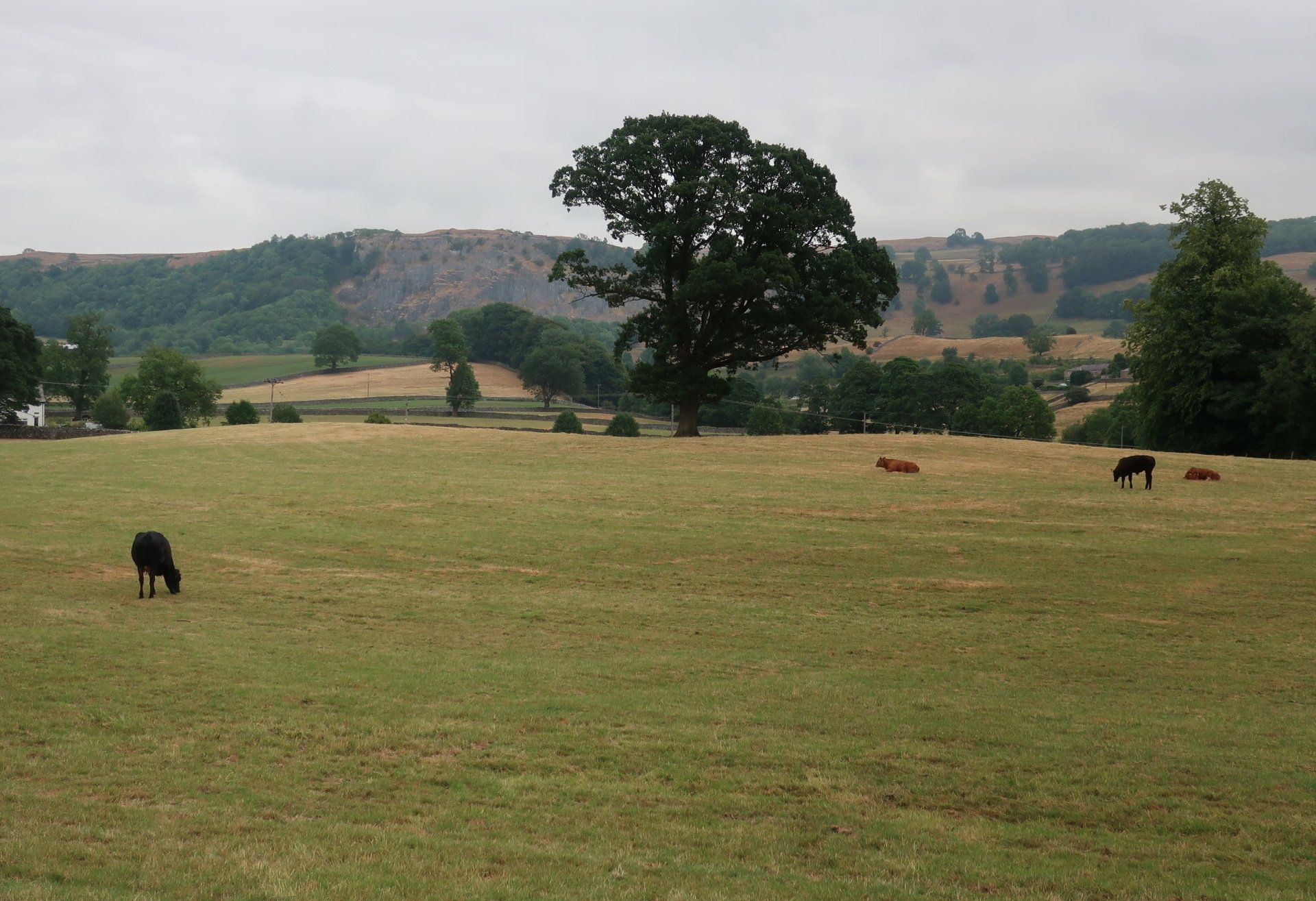
On up the moor and a look back through the murk shows a view of Malham Tarn. It would have been good to go up there yesterday for a look but it was a bit too much in the day. Leaving the Malham area behind the path moves through broad valleys and hills, limestone boulders and crags, generally an isolated mood but then reaching some farms. At Stockdale Farm I pass a huge bull – thankfully the other side of a wall – and take in the power of these animals.
I have quite enjoyed the change in the weather, a bit of variety from the past hot couple of hot days, and sort of suiting the scene – wild moor etc – however, am pleased as the rain gradually stops and it starts to brighten up.
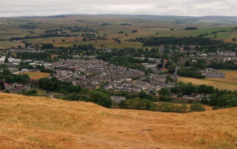
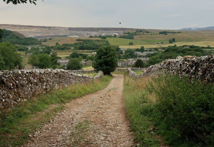
By the time I reach the town of Settle, after a very steep descent off the hills, I have returned to t-shirt mode. The town centre is busy, including a number of obvious tourists and quite a few cyclists, and I pop into a café for some lunch – including a Lancashire cheese & apple/cider chutney toastie with milkshake. Weird combo, I know. As it happens I have timed it well as there is a short, sharp rain shower that sends everyone scuttling, but by the time I am ready to leave, it is all over.
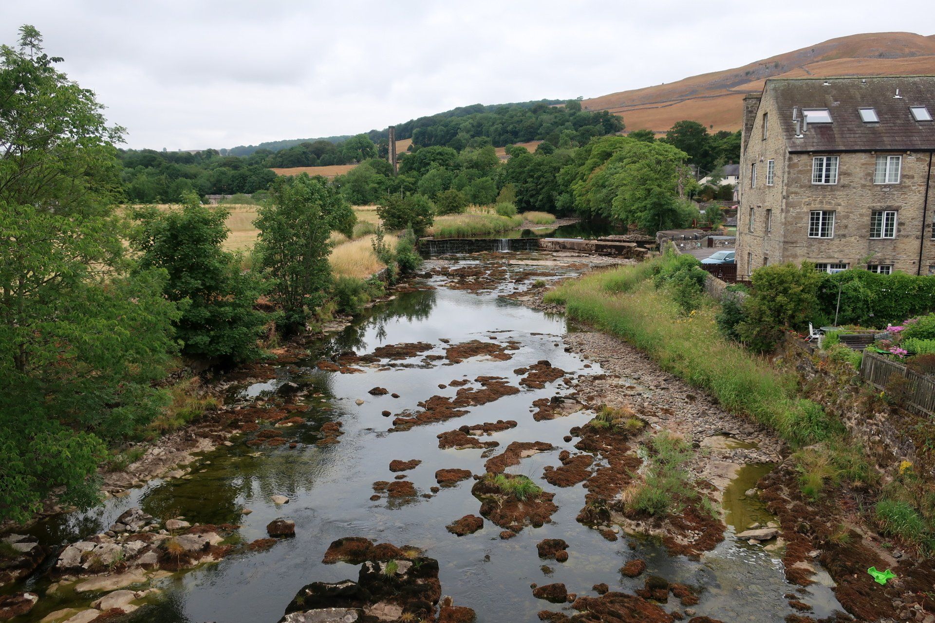
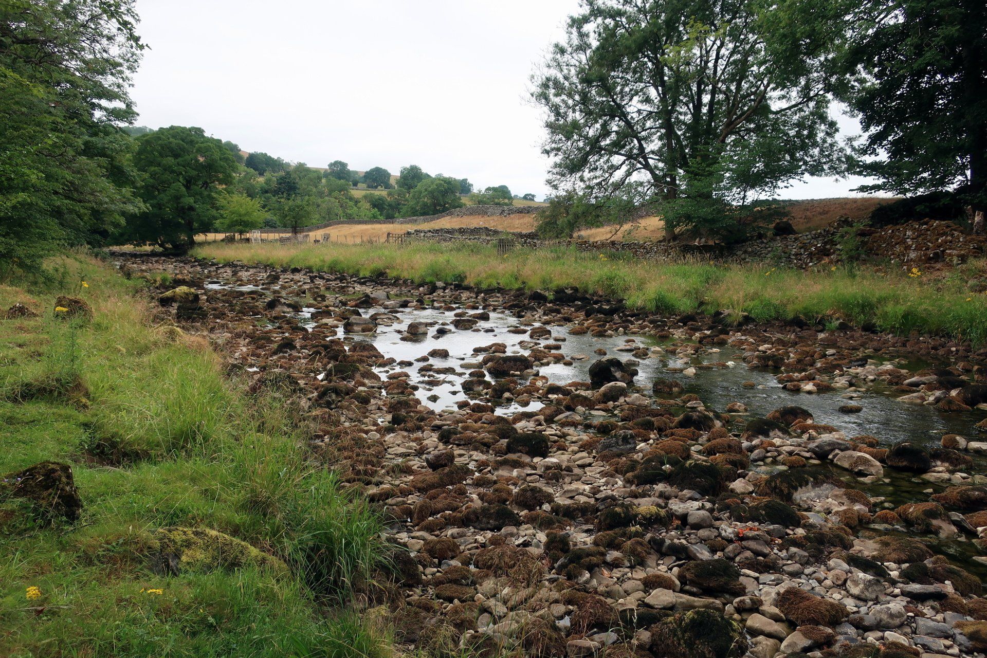
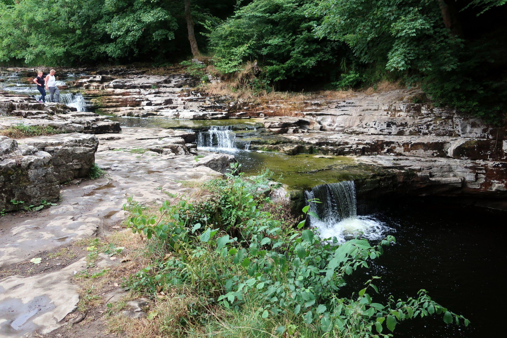
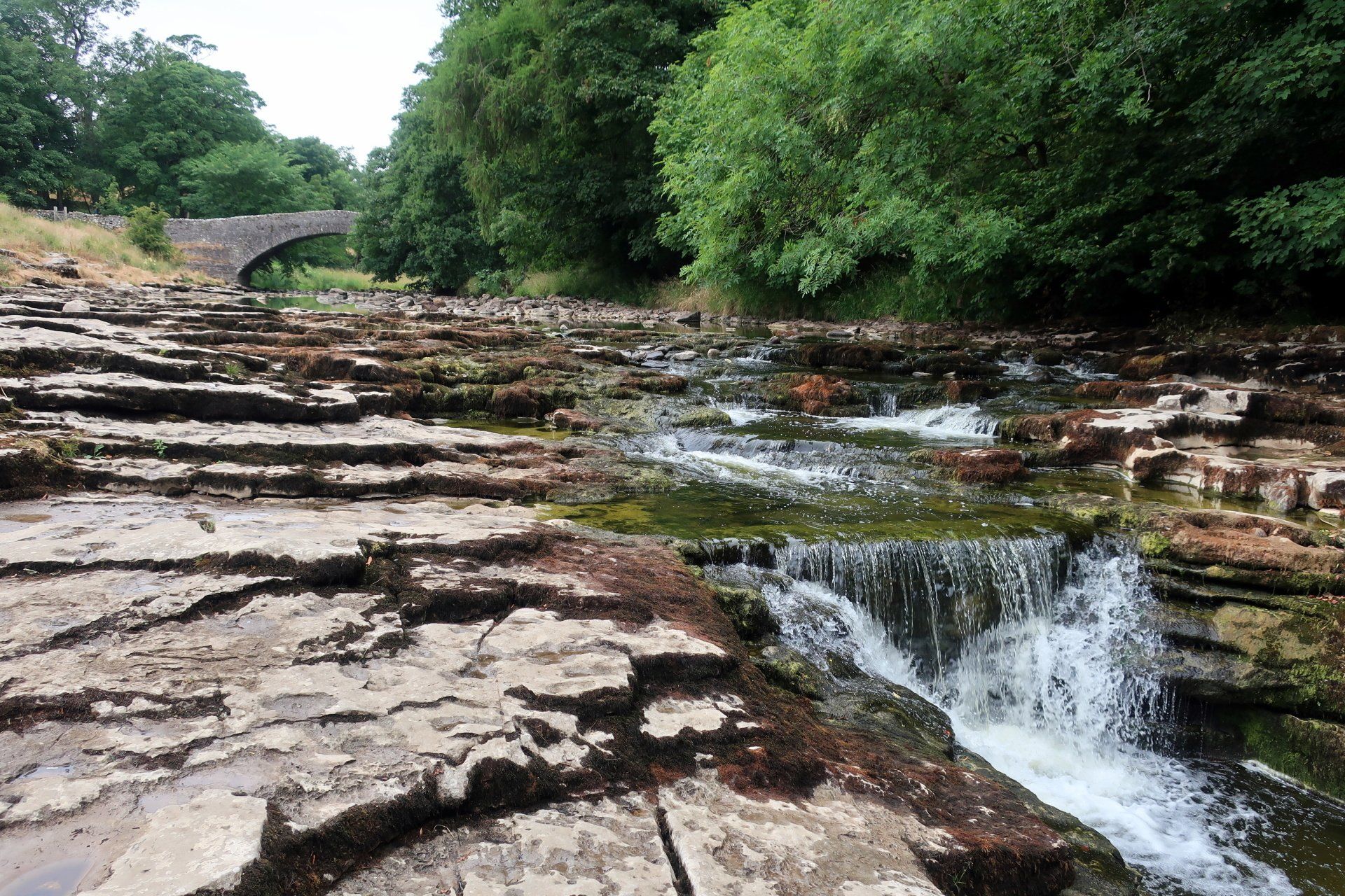
The path between Settle and Stainforth broadly follows the river, however, this is not much more than a trickle in many places, sometimes just enough to give that tinkling water sound that provides such a pleasing ambience. This is amplified at Stainforth Force, the one place where there is a decent supply of water, indeed a couple of mini waterfalls. It is a nice spot, no doubt loved by photographers doing some arty shots (I make do with a bit of point and shoot!).
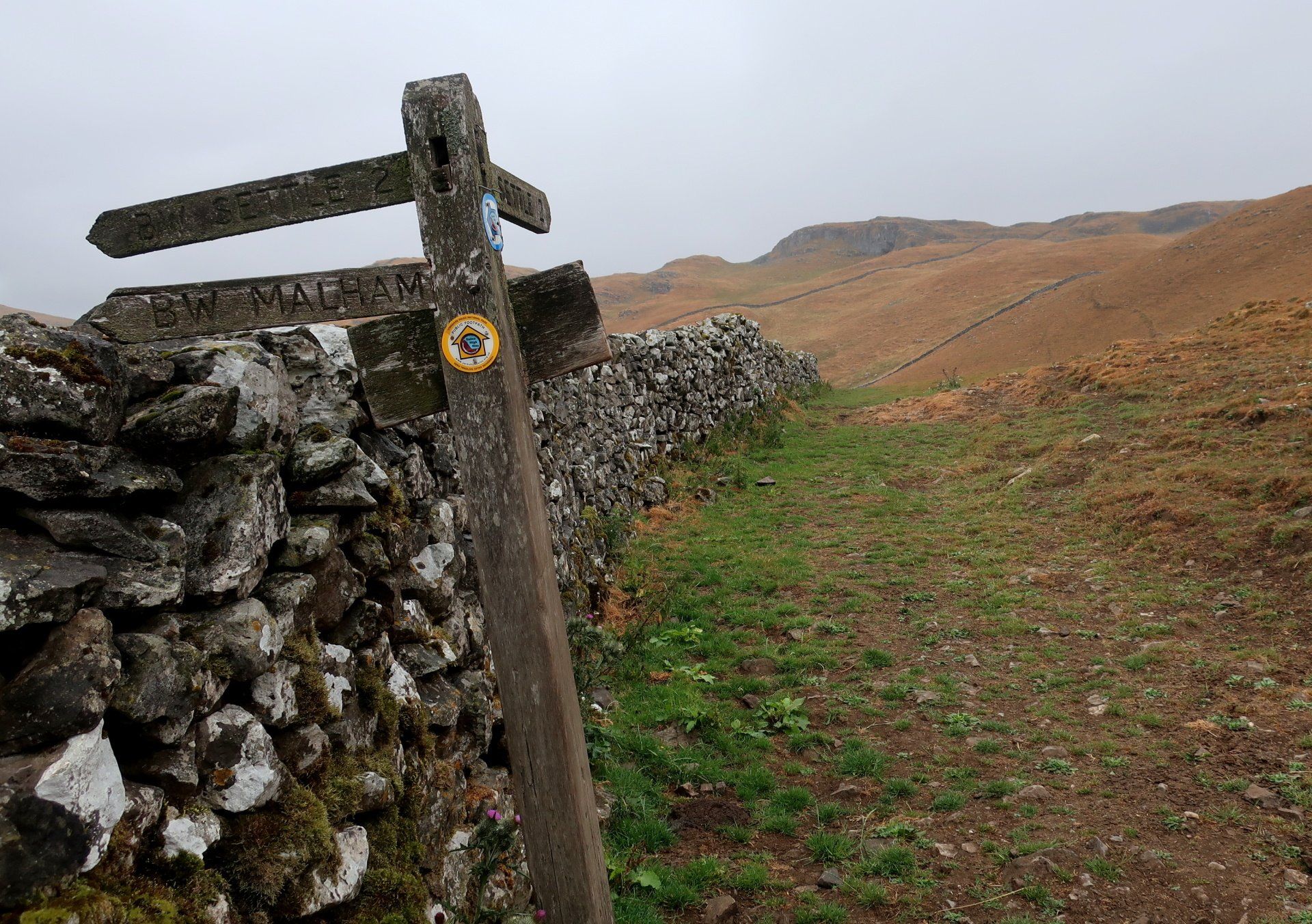
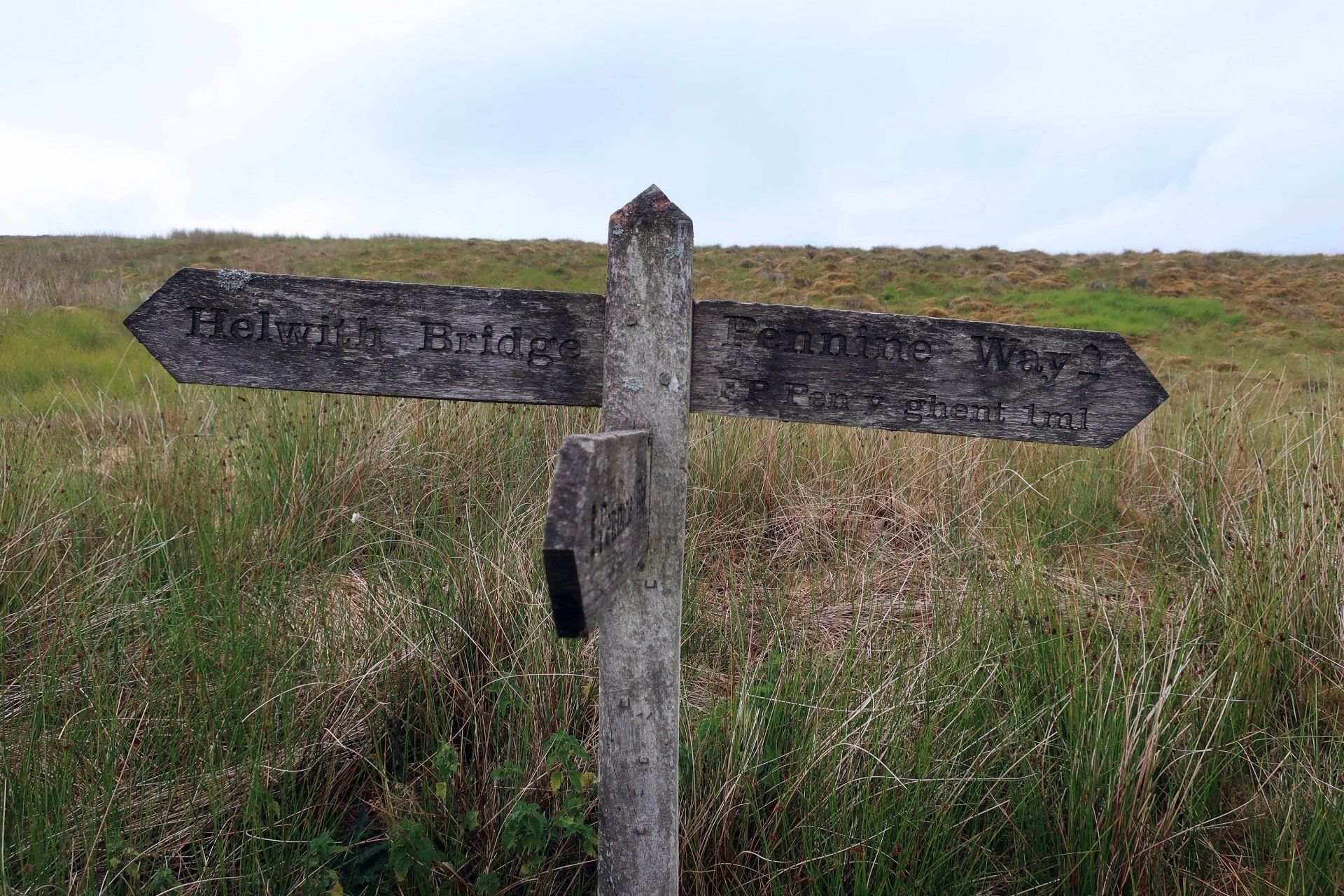
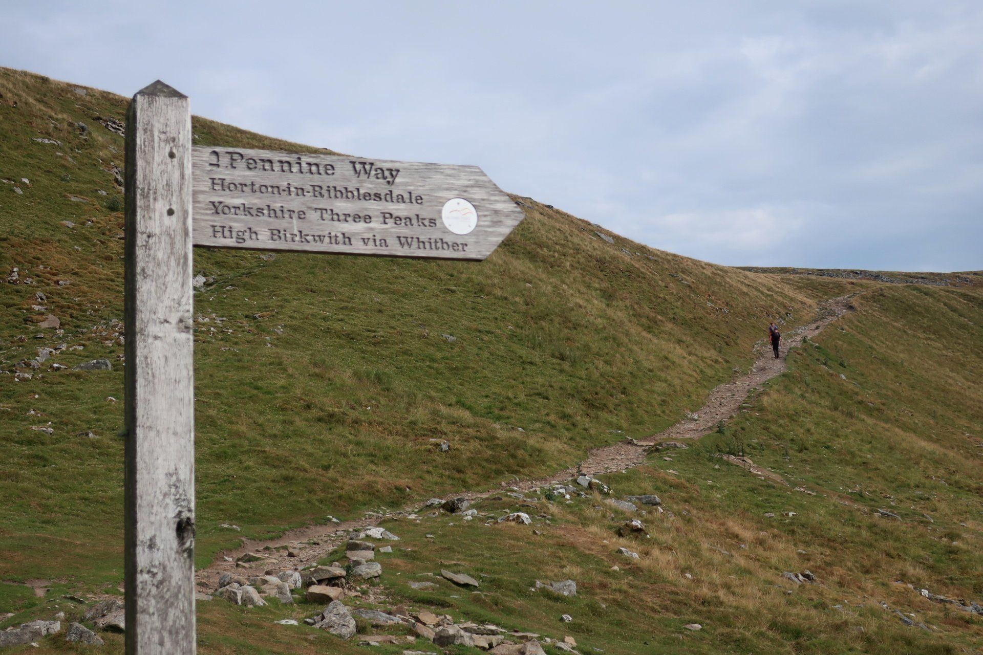
Stainforth is decision time – opt for PYG or carry on the official route. The weather seems to be holding up and whilst this can change quickly, there is no doubt in my mind – it is PYG. If the weather does turn bad there is an ‘escape route’ to HOR before PYG – the route the 3 peakers take.
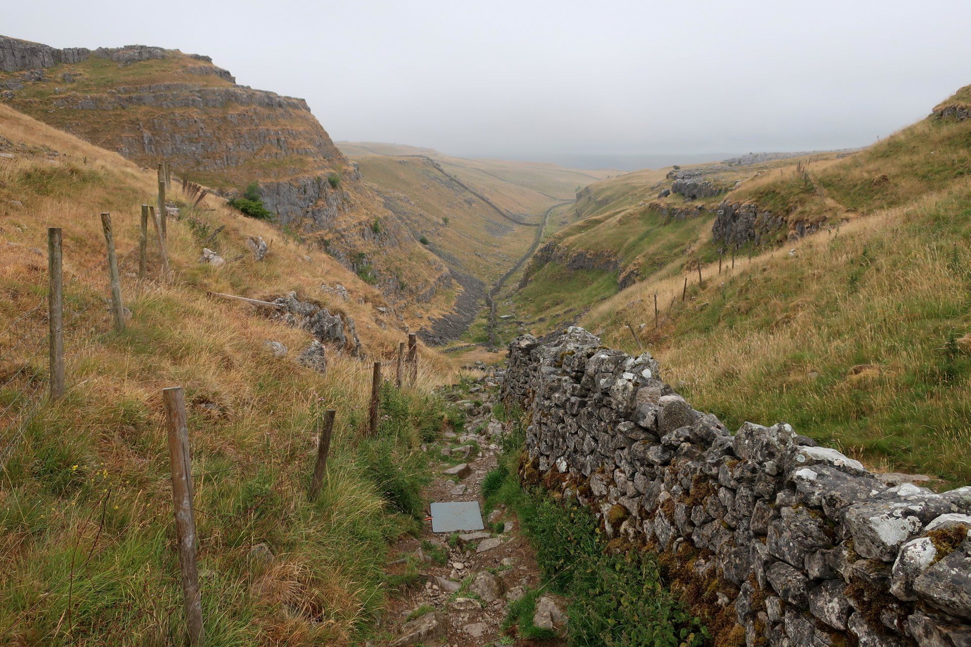
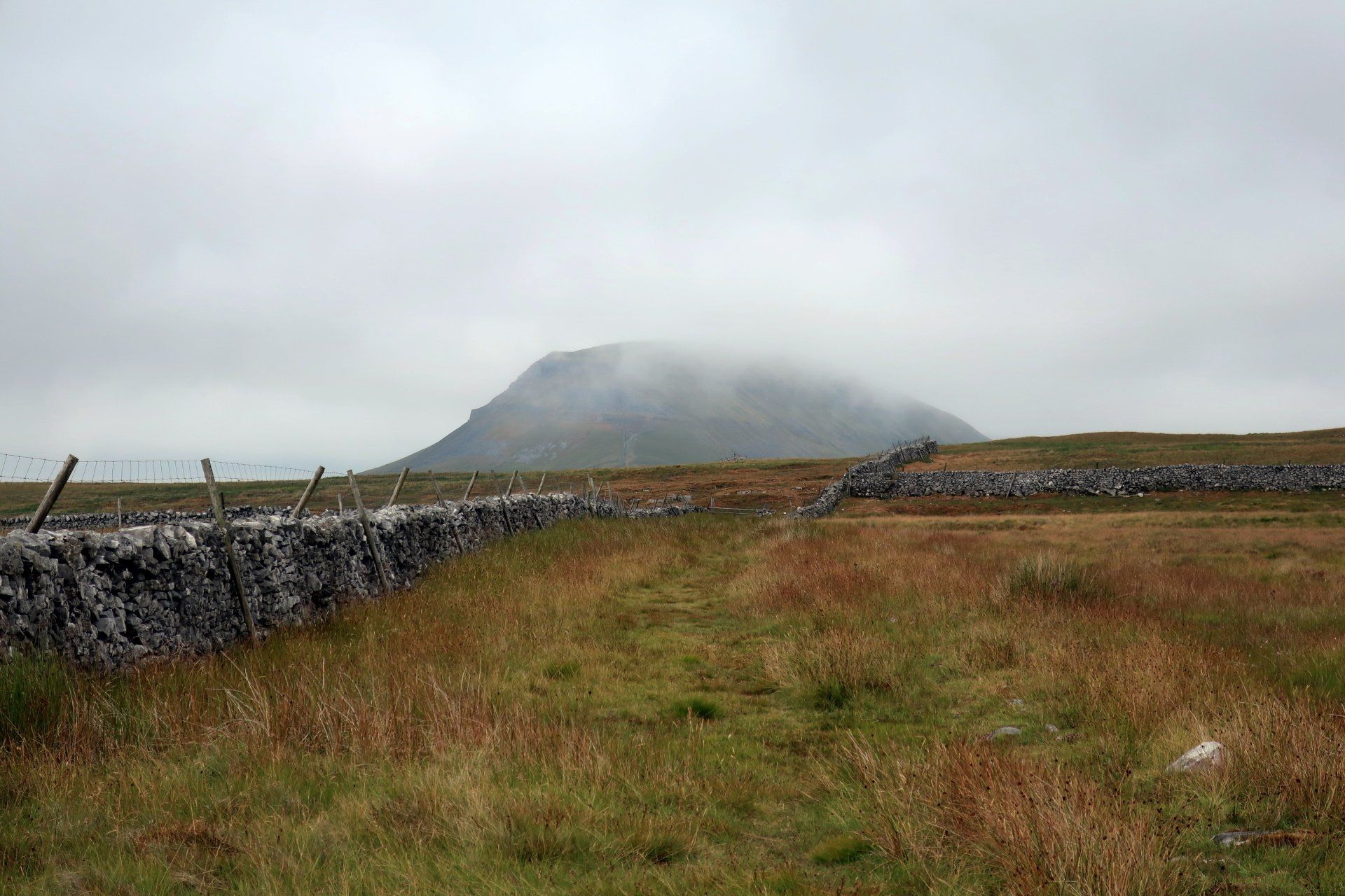
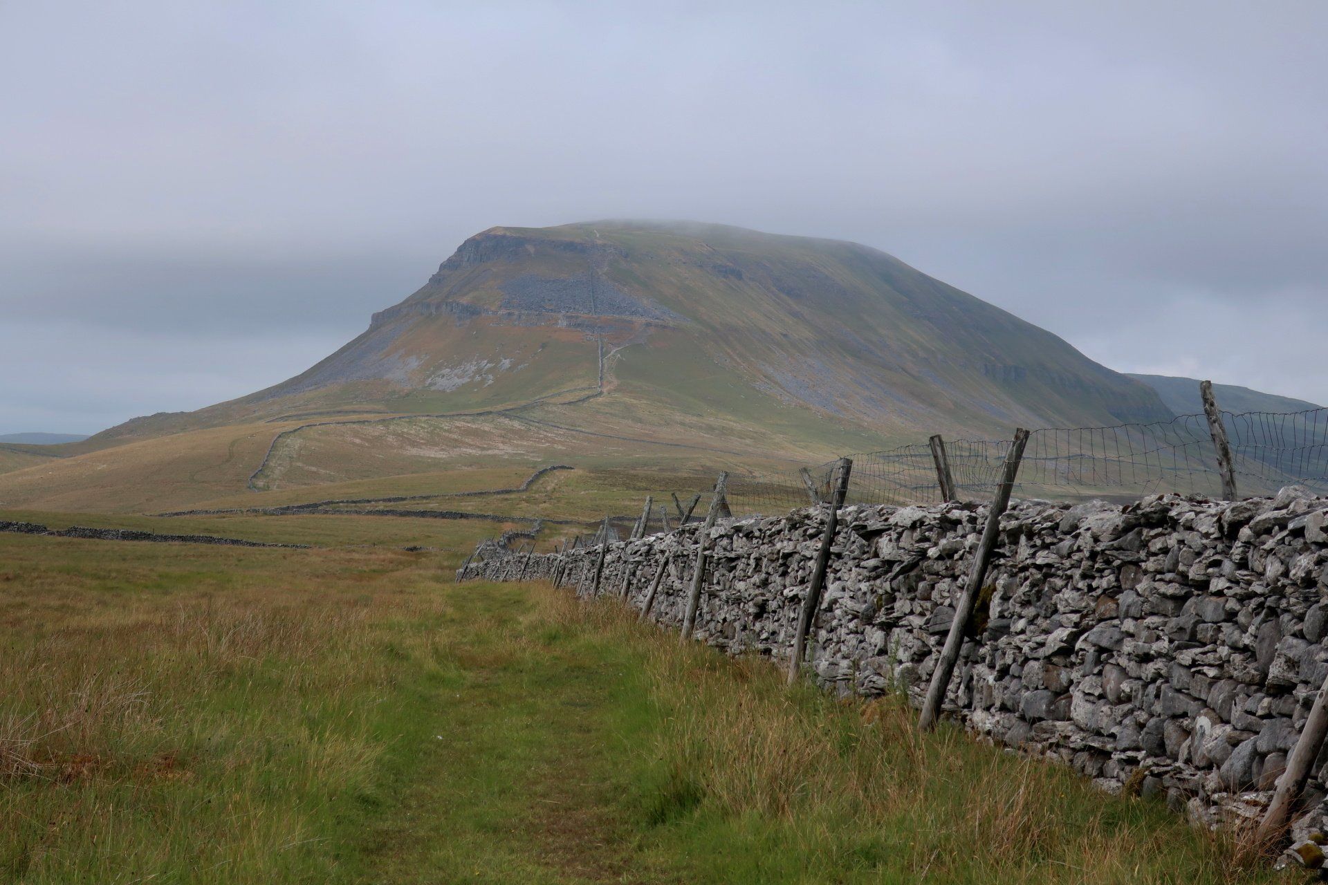
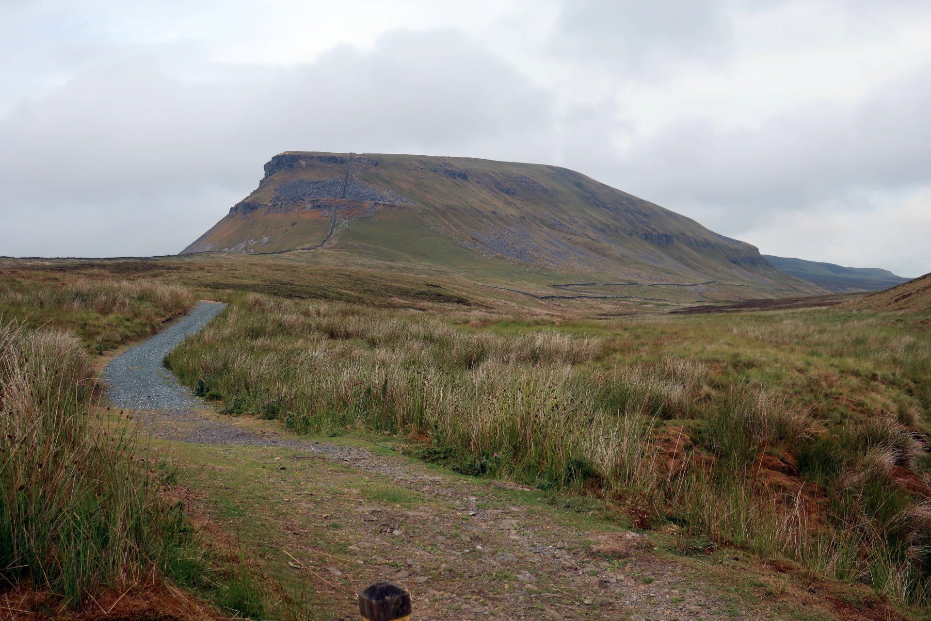
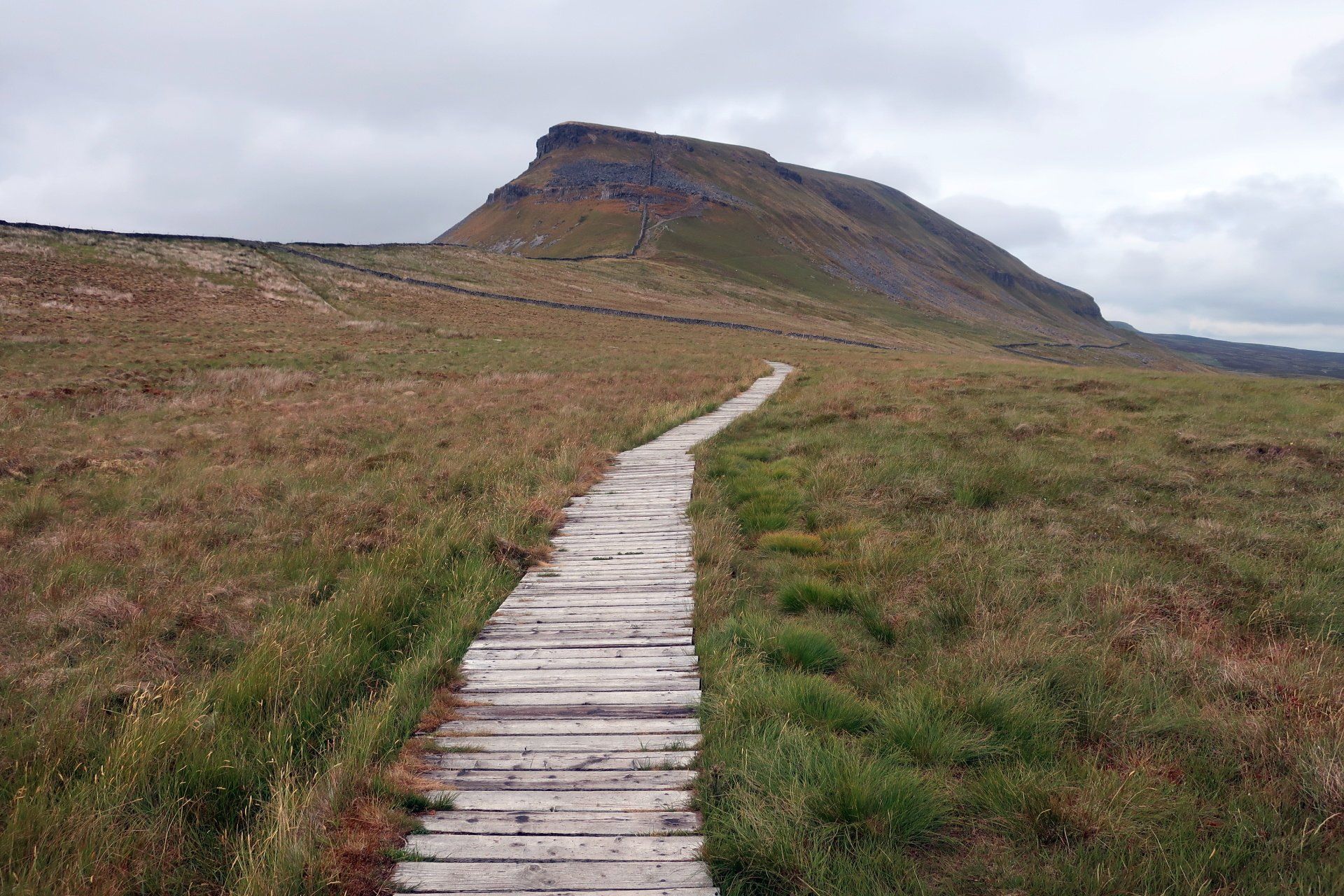
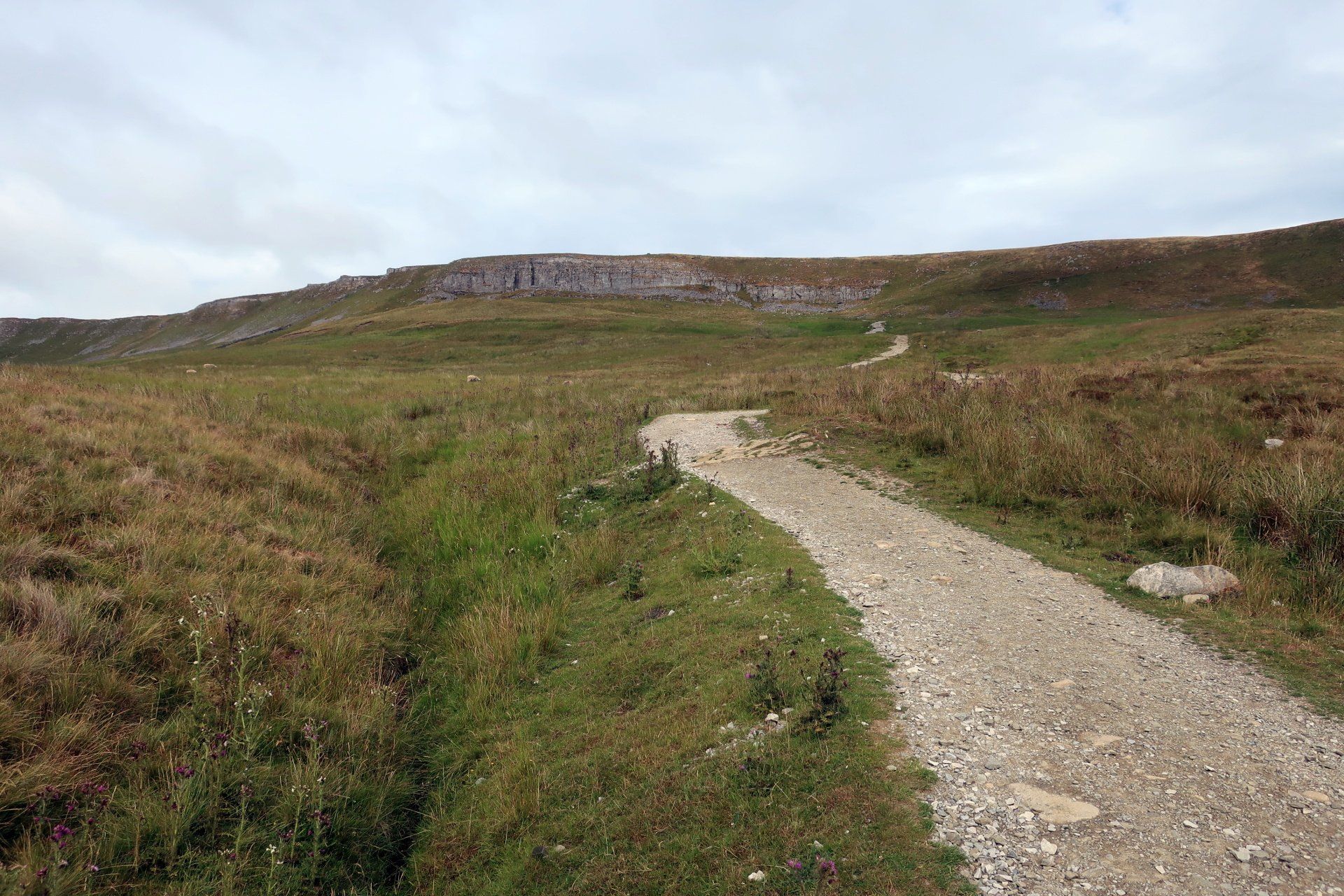
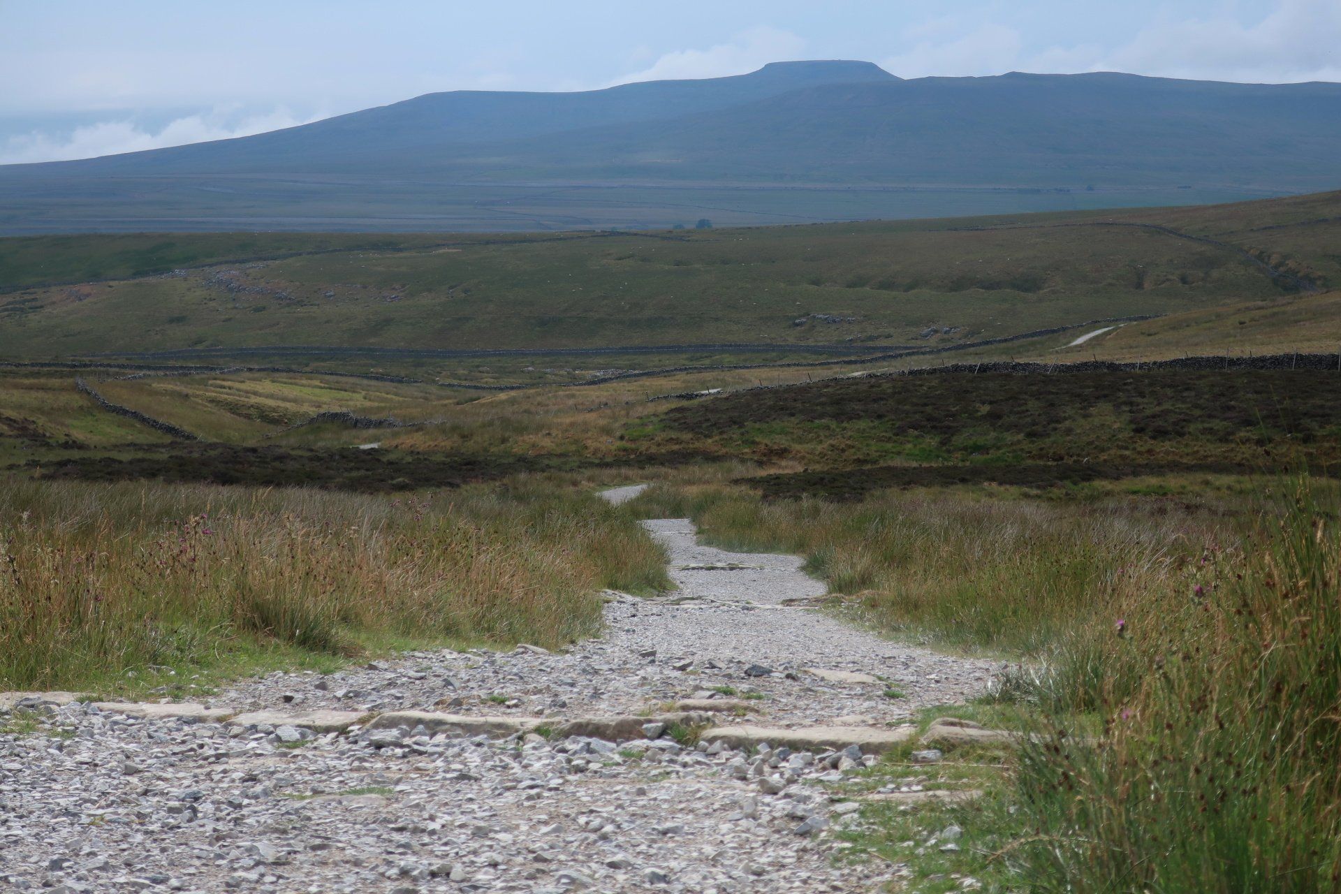
The walk from Stainforth to the base of PYG feels hard work. It is probably just over 3.5 miles but is a long trudge up a steepish gradient, the weather feeling a bit humid and oppressive now and I can see heavy, dark clouds and seeming rain to the West, albeit some distance away.
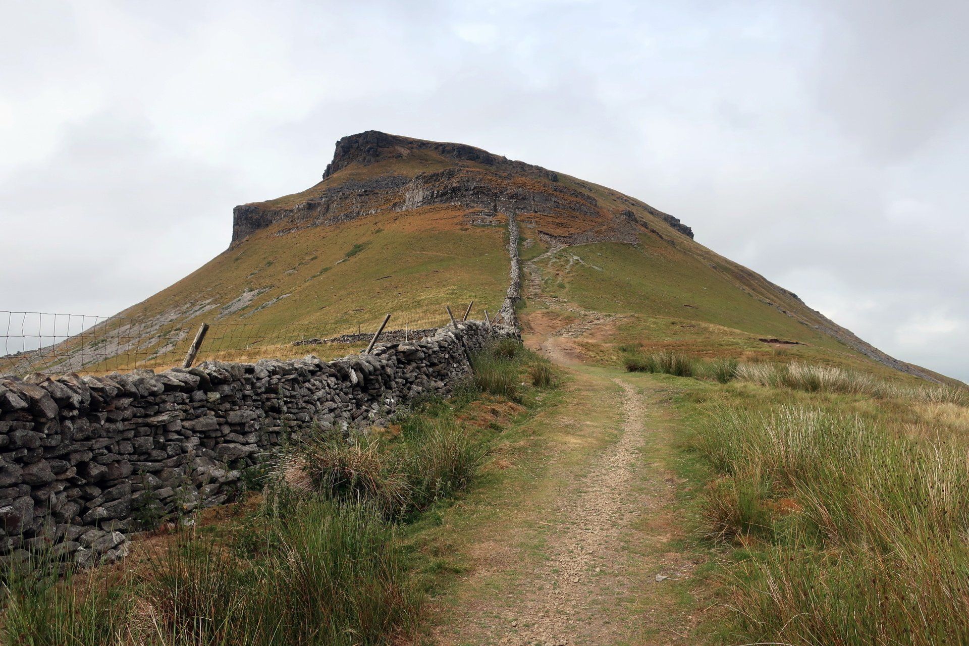
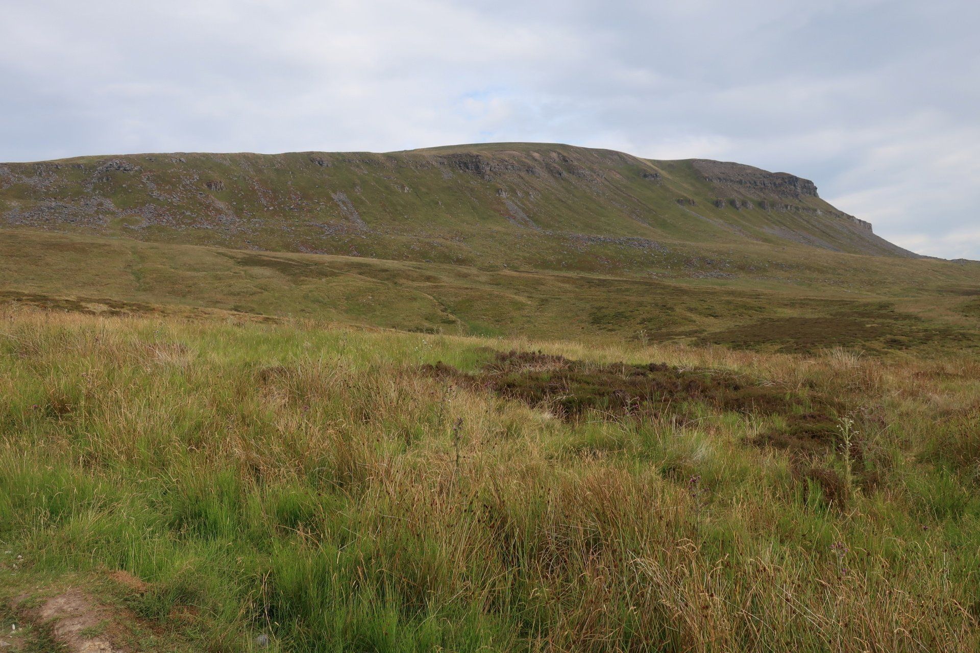
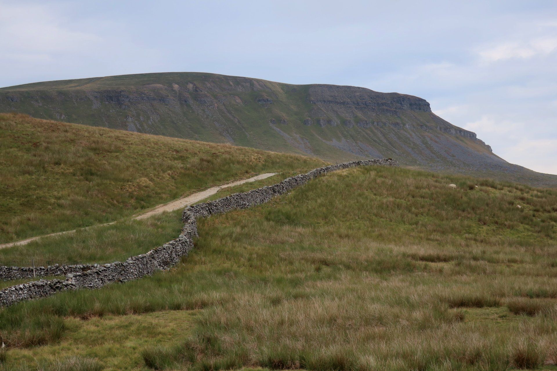
PYG looms the whole time, slowly and surely getting closer. I am approaching the South face, which looks a ‘lump’ from this angle, the length of the ridge all hidden, so a very different look to the more well-known profile.
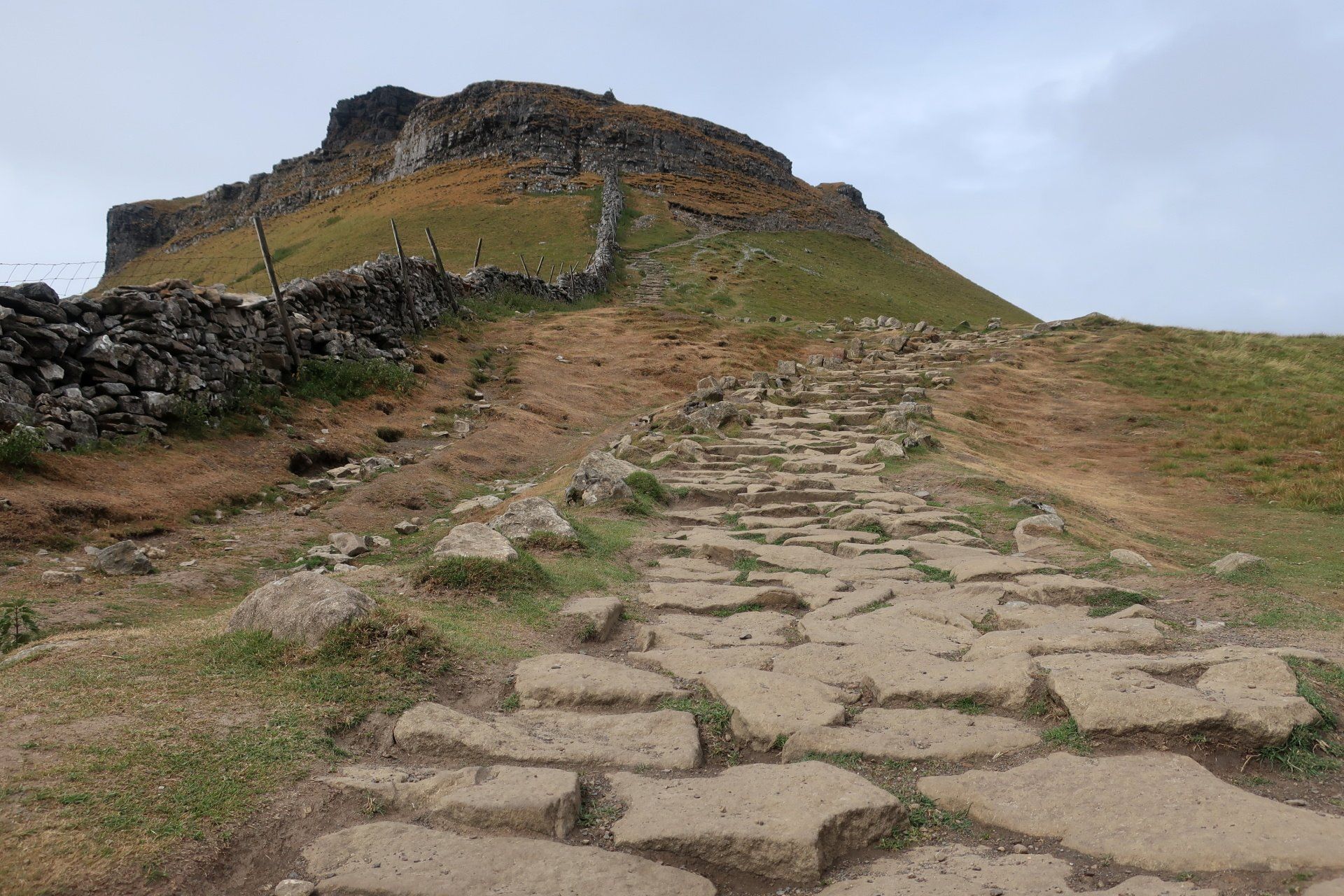
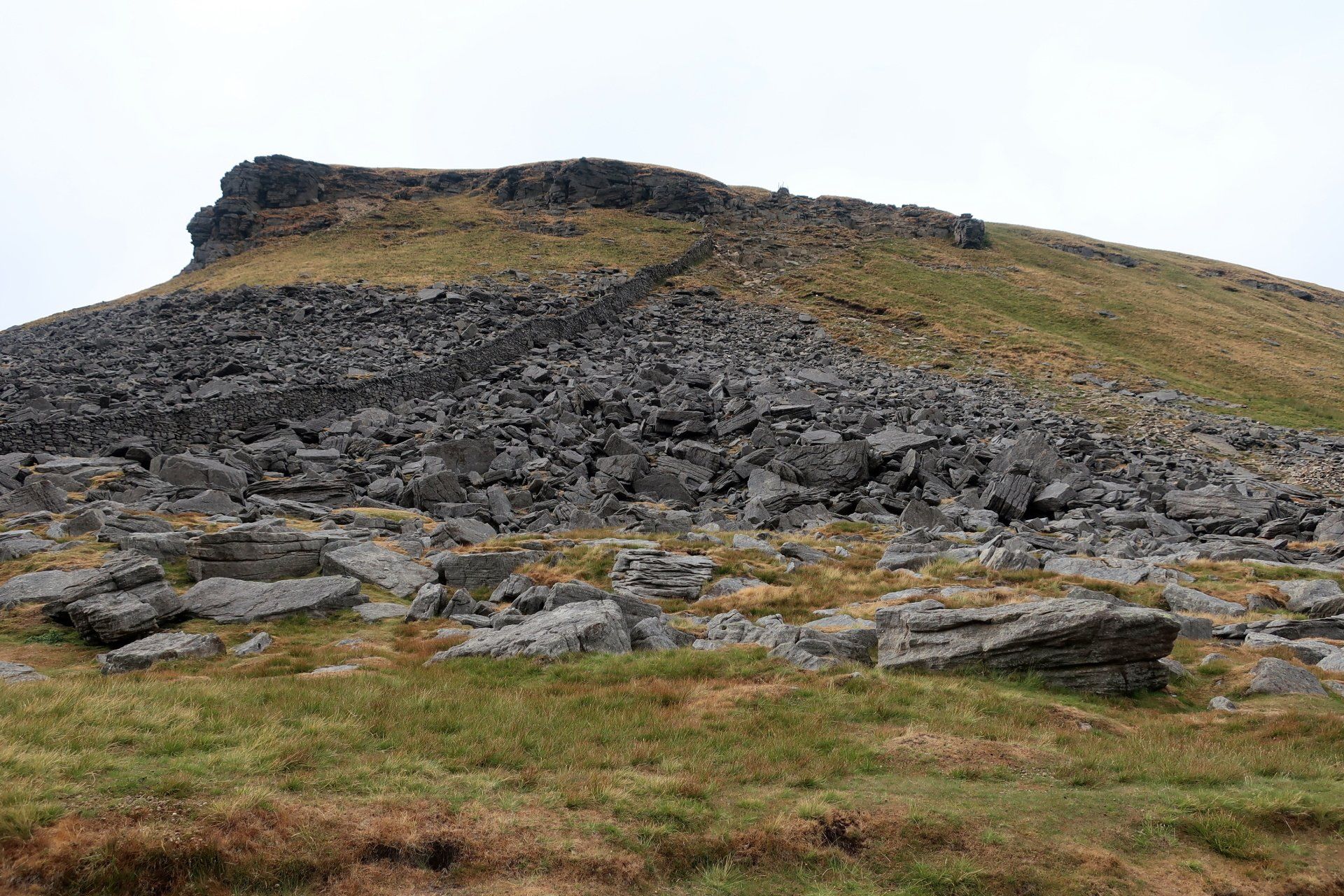
Eventually I reach the base, where the track from HOR comes up – itself quite a chug up. The air is cooler here and there is a pleasant breeze, nice and refreshing. As I have been approaching PYG it has been difficult to make out a path to the top and it is not much clearer from here. I start up the slope and random steps, these forming a rough path, soon finding myself some way up. I am not one with a head for heights so feel a little uneasy, this not improved when any semblance of a route disappears and I am faced with nothing but rocks requiring some climbing / scrambling.
I clamber up and over to reach the firm ground with some relief. I am sure it is just a mental thing, a simple physical task, but that was not my idea of fun (and I certainly wouldn’t want to be doing that in wet, bad weather).
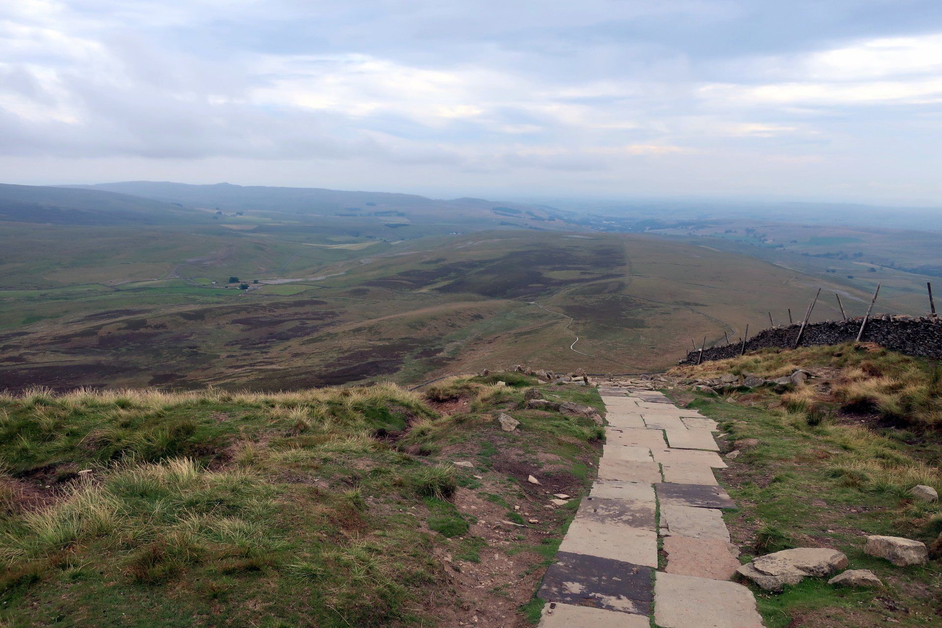
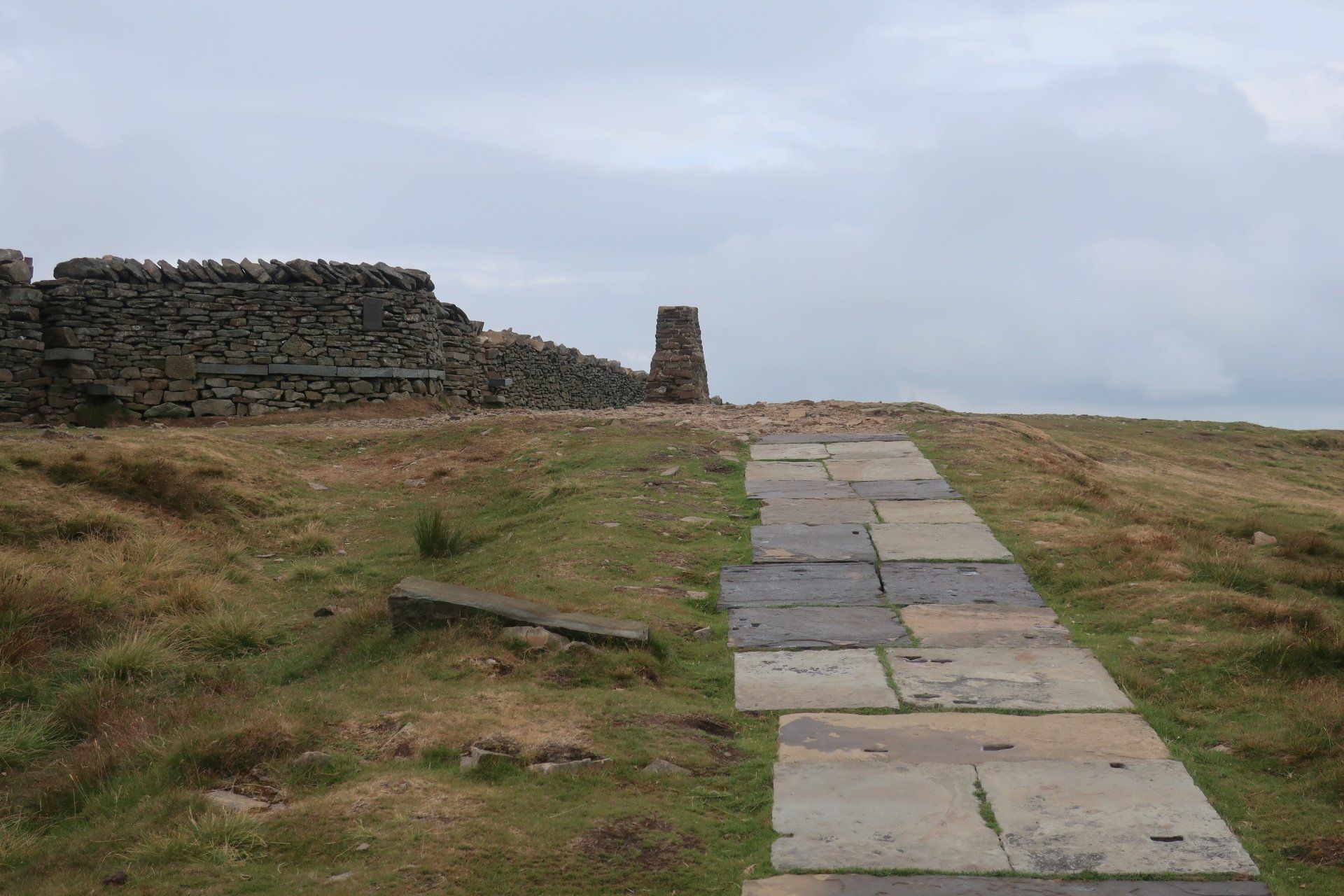
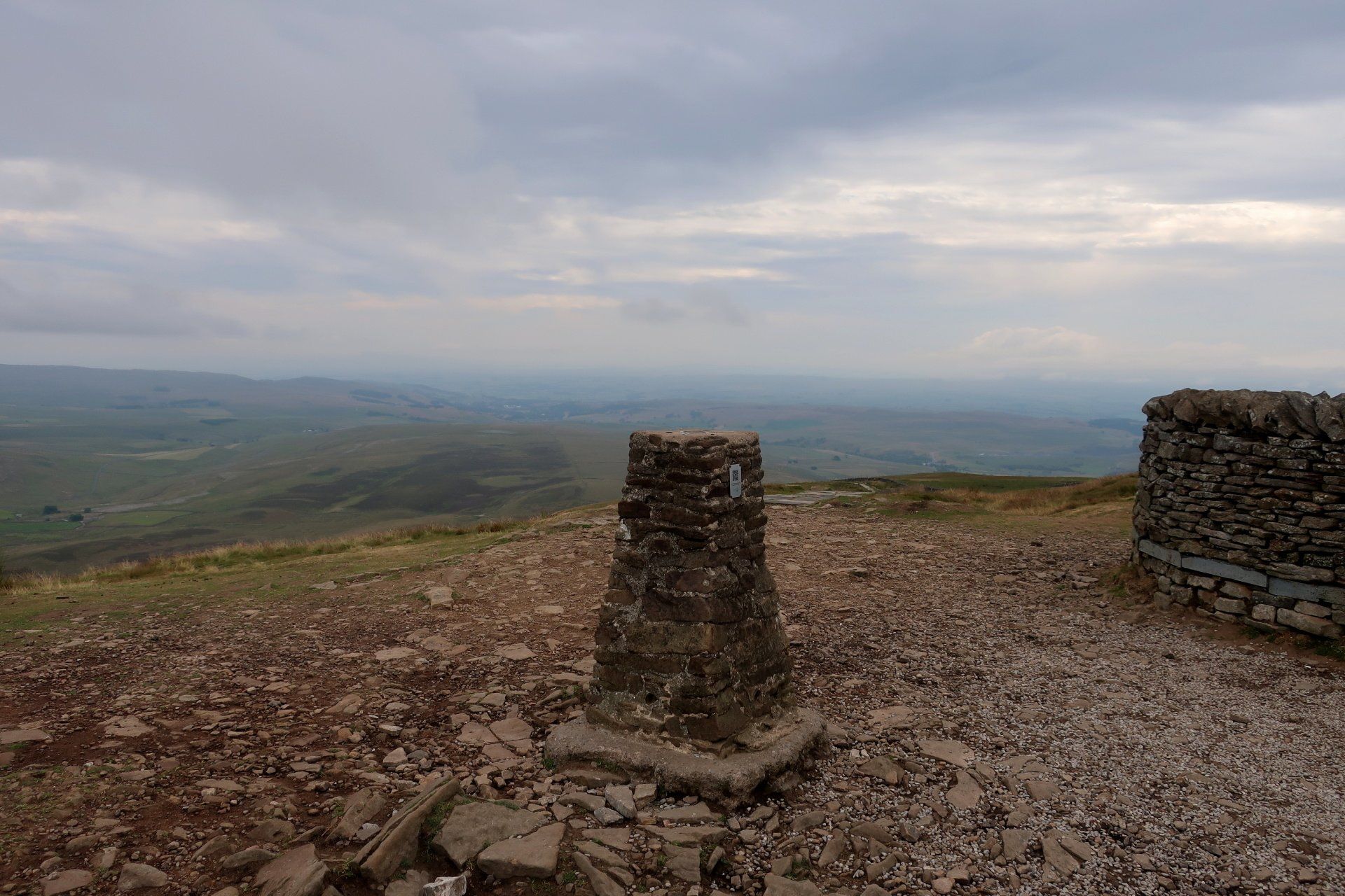
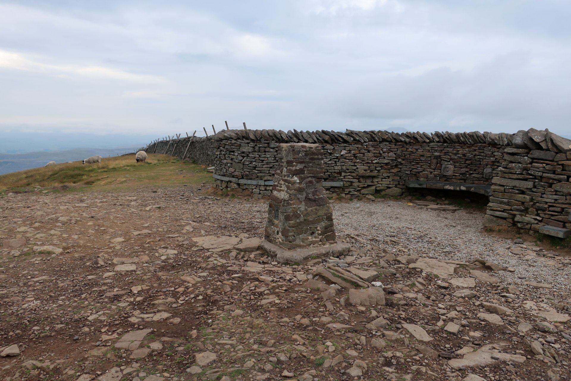
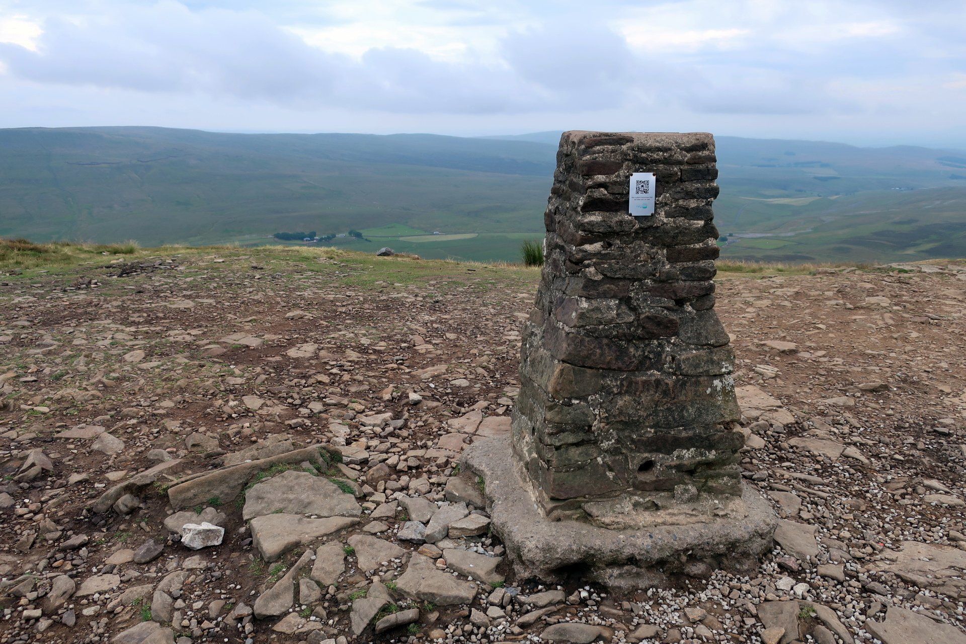
Some limestone flag stones form the final ascent to the summit and that longed for trig point (694m). I marvel at the view around me, the biggest factor being the scale, I am really aware of being so high up – did I really climb up here!
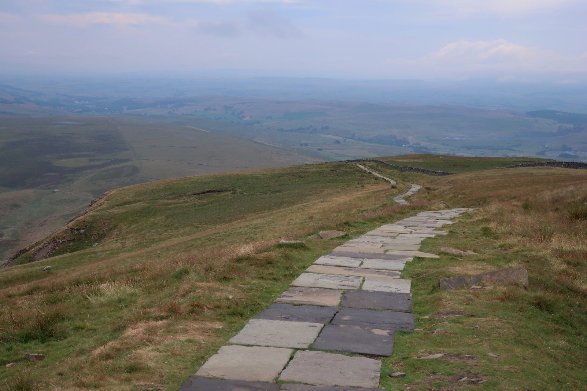
There is not another sole in sight and I could sit and ponder but I decide to find the route down. Fortunately this is straight forward – no scrambling here, indeed initially some giant steps help me on my way and I skip down these and chuckle at the difference to the ‘assault route’ I took on the way up
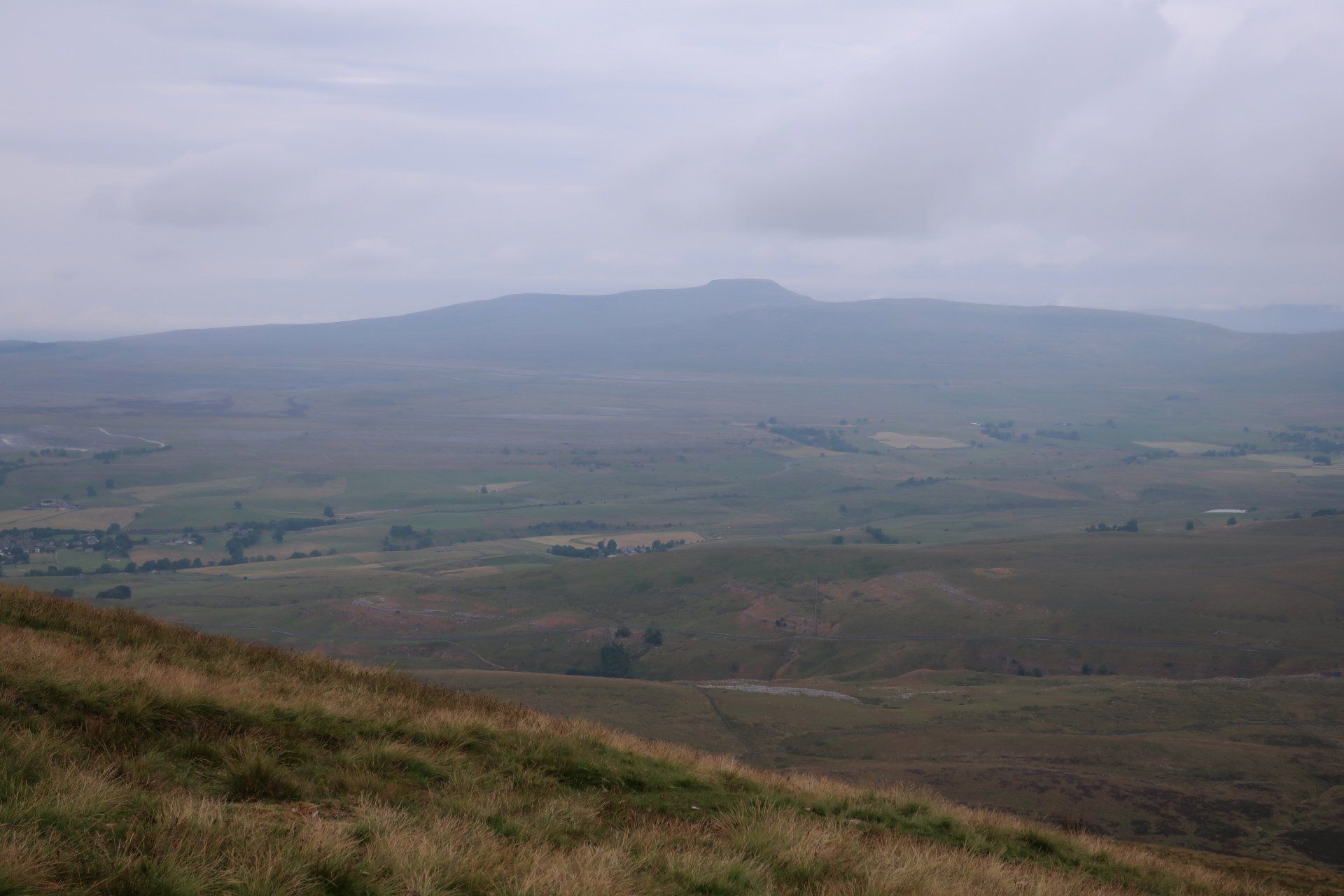
The path becomes a long, gentle descent and about a third of the way I stop for a break, have some food and take in the scene. Whilst still overcast, Ingleborough is clear to see, Whernside may be viewable but if so is lost in cloud. Having completed PYG – something I thought unlikely given the forecast at the start of the day – I am well pleased and I sit and reflect on my adventures to date. This is what I wanted from the DHW and it certainly is not disappointing me so far.
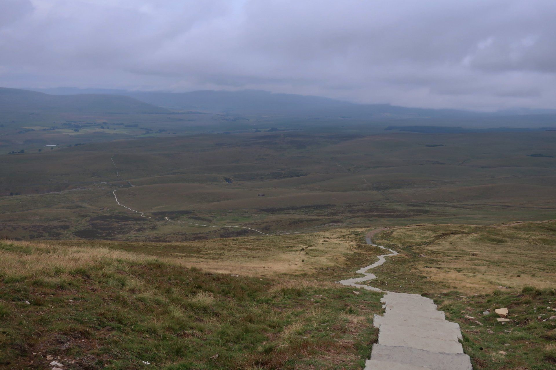
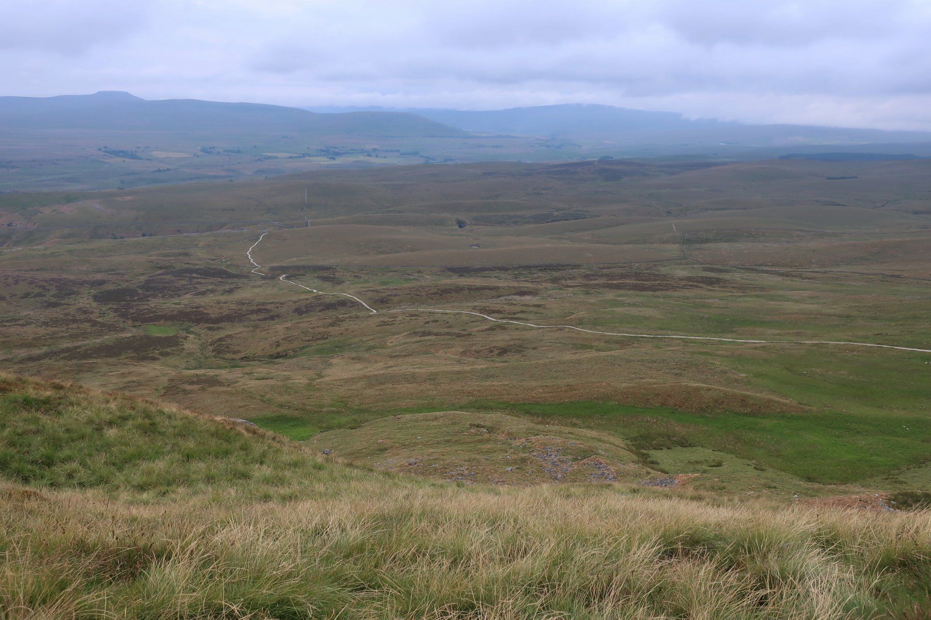
Eventually, despite pure contentment, I feel I should make a move and push on. The trail is clear for miles and I can see a couple of people heading up, these I duly pass and then have a switch of perspective when I am at the bottom and they are just dots on the ridge. Scale.
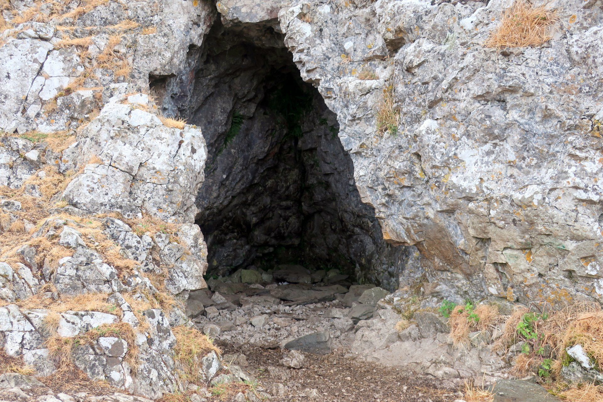
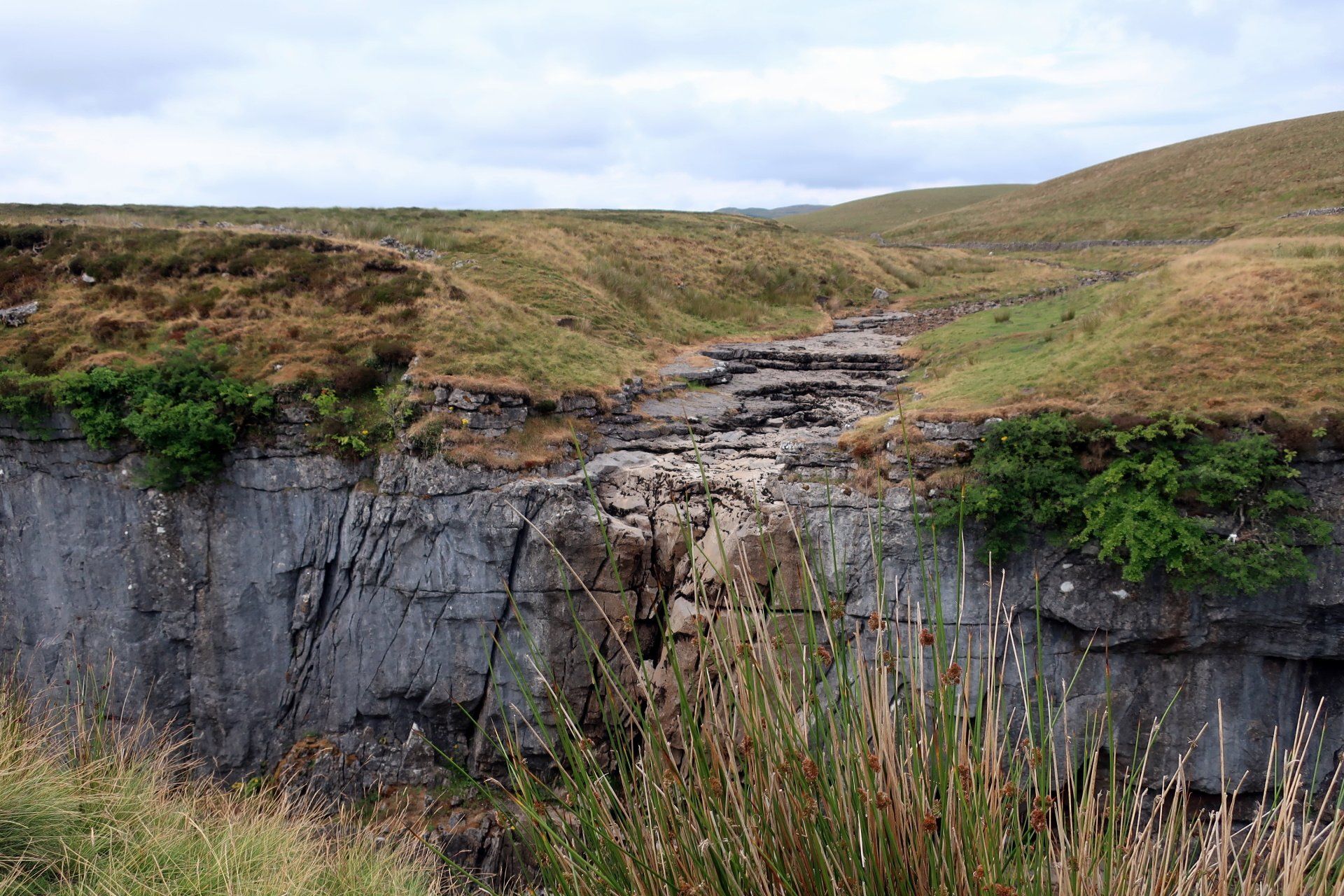
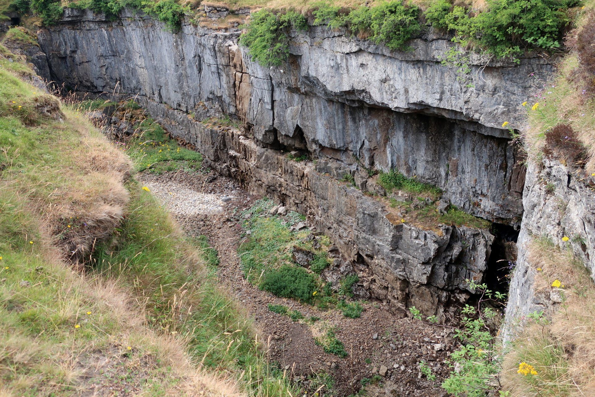
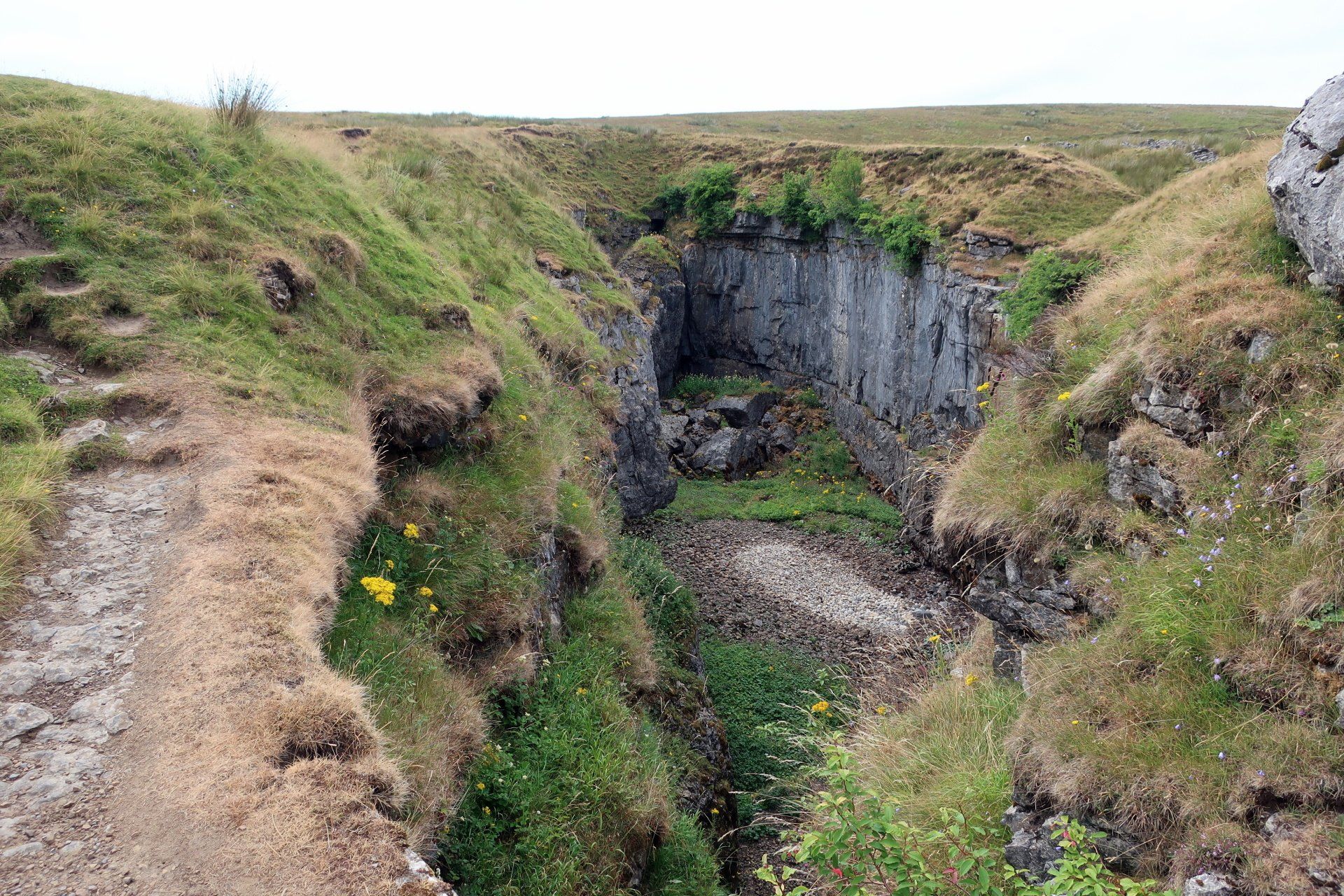
I could just continue along the path but summon a bit more energy and visit Hull Pot. I have seen this on TV, a huge pot-hole in the limestone with a magnificent, gushing waterfall. Unfortunately, not even a trickle today, another example of the dry months, so I miss out on seeing Hull Pot in all its glory. Ah well, you can’t have it all and I will take the dry ground walking conditions any day.
A couple of miles of stony path brings me to Horton-in-Ribblesdale, by which time I am certainly feeling tired, my pace slowing and occasionally I am swaying around like a drunk not fully in control of all limbs – ok a bit of artistic licence on that one, but it has been a long day and I am feeling it.
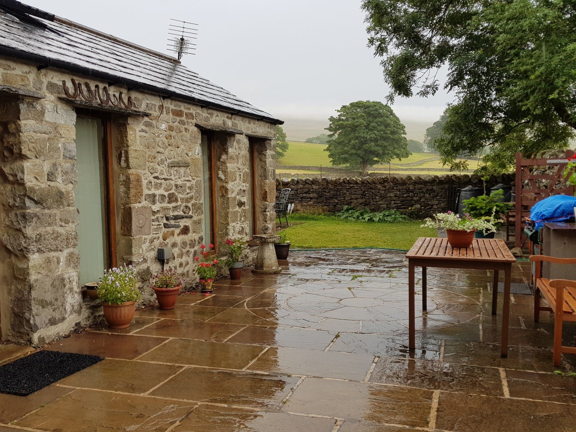
Finally, I reach my digs for the night – Broad Croft House – and recover with lots of sweet tea and biscuits. Does the trick nicely. As I settle in the rain finally turns up and my window looks out on cloud and glistening, wet ground – perfect timing.
Another wonderful day, very different to the first two, sometimes challenging, variable weather, great experiences.
Stats: 18.7 miles, 7hr moving, 8hr 50mins total, Average moving 2.7 mph, 3174 ft Ascent