CI Way- December
Guernsey (walk 5)
Guernsey (walk 5)
SUNDAY 30TH DECEMBER 2018: The last leg. December arrives and Santa’s present is to complete the CI Way with the final section of cliff path returning back to my original starting point in January at the Liberation Monument in St Peter Port.
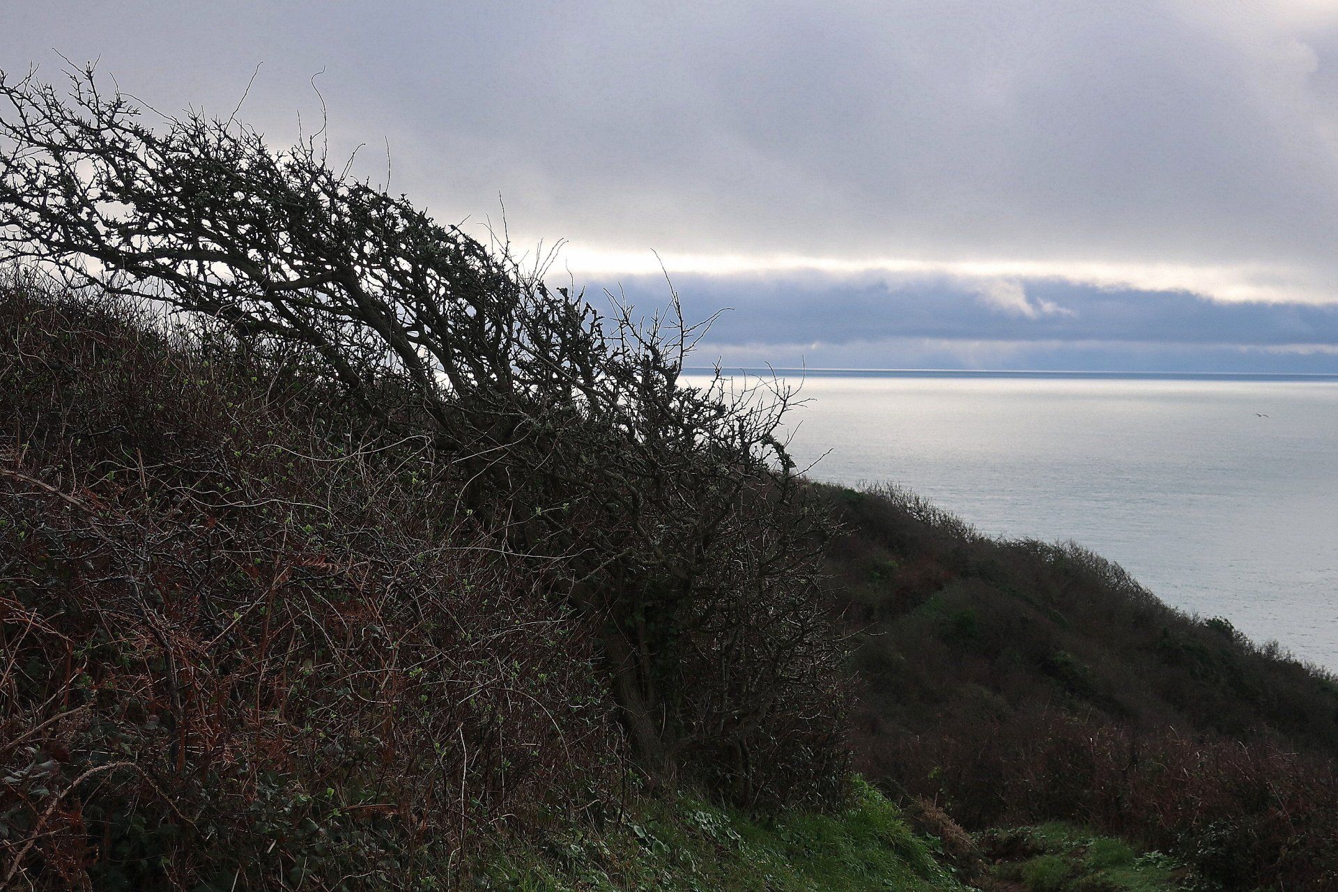
On the weather front, the good news is a relatively mild 10 degrees with very light winds, the bad news is the sun of the last few days has gone into hiding, instead we have grey cloud and drizzle. Such a shame.
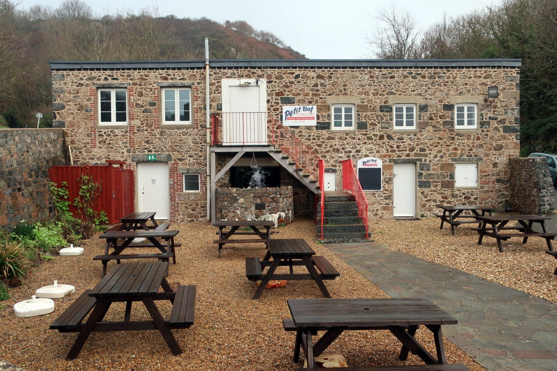
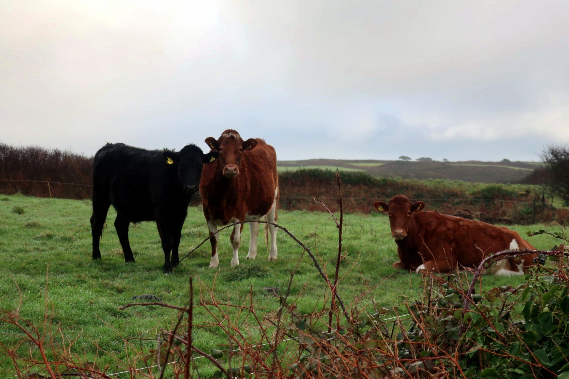
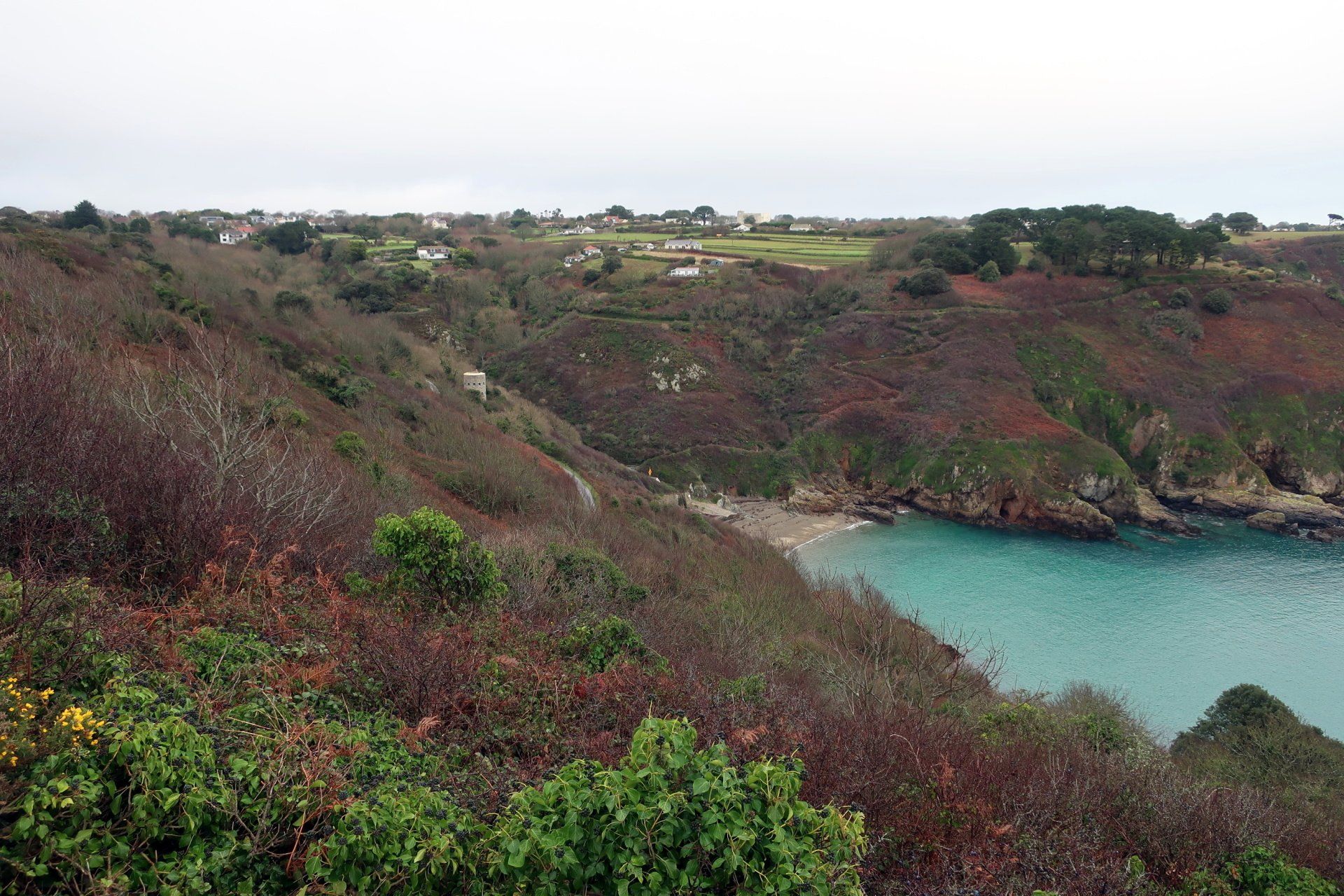
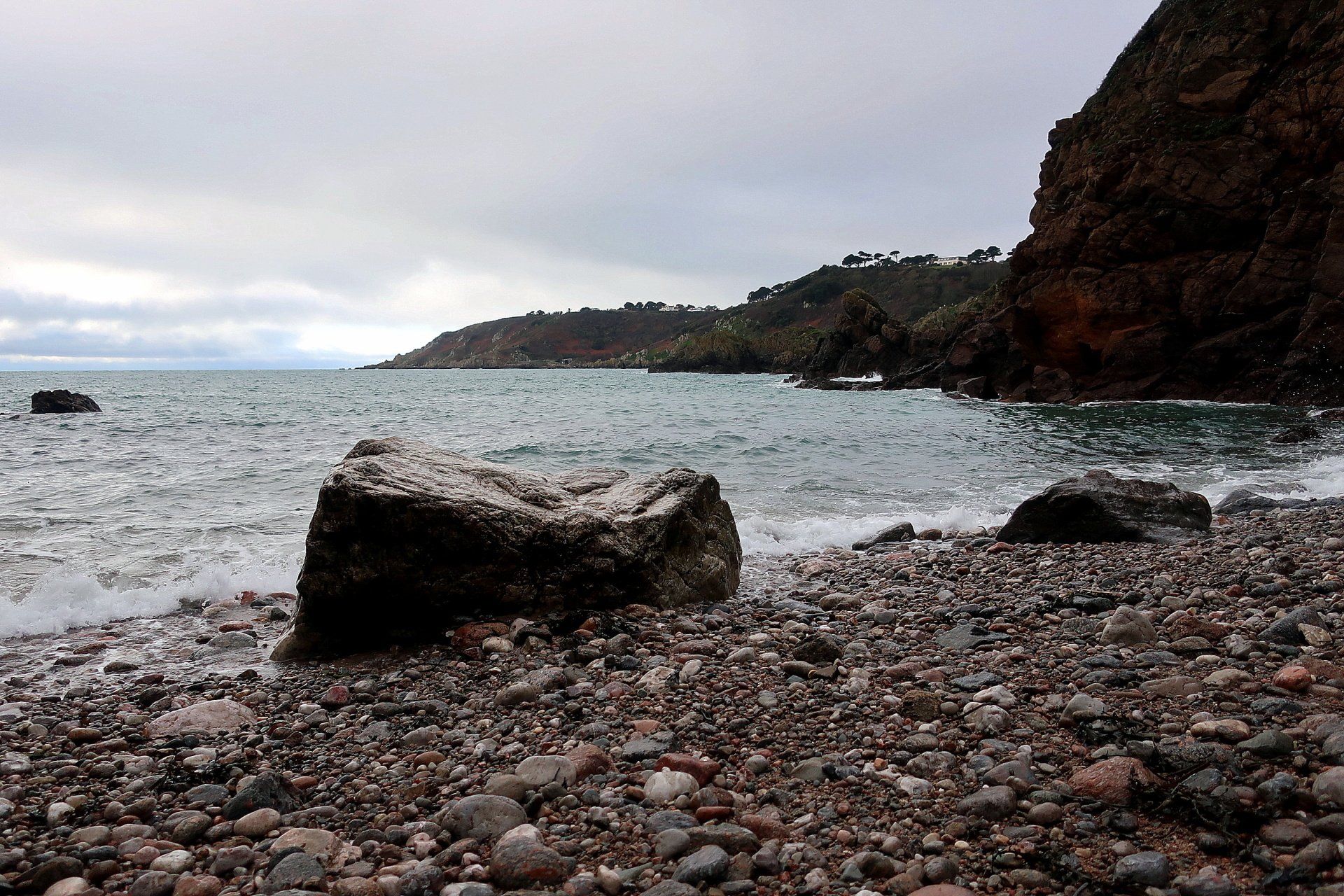
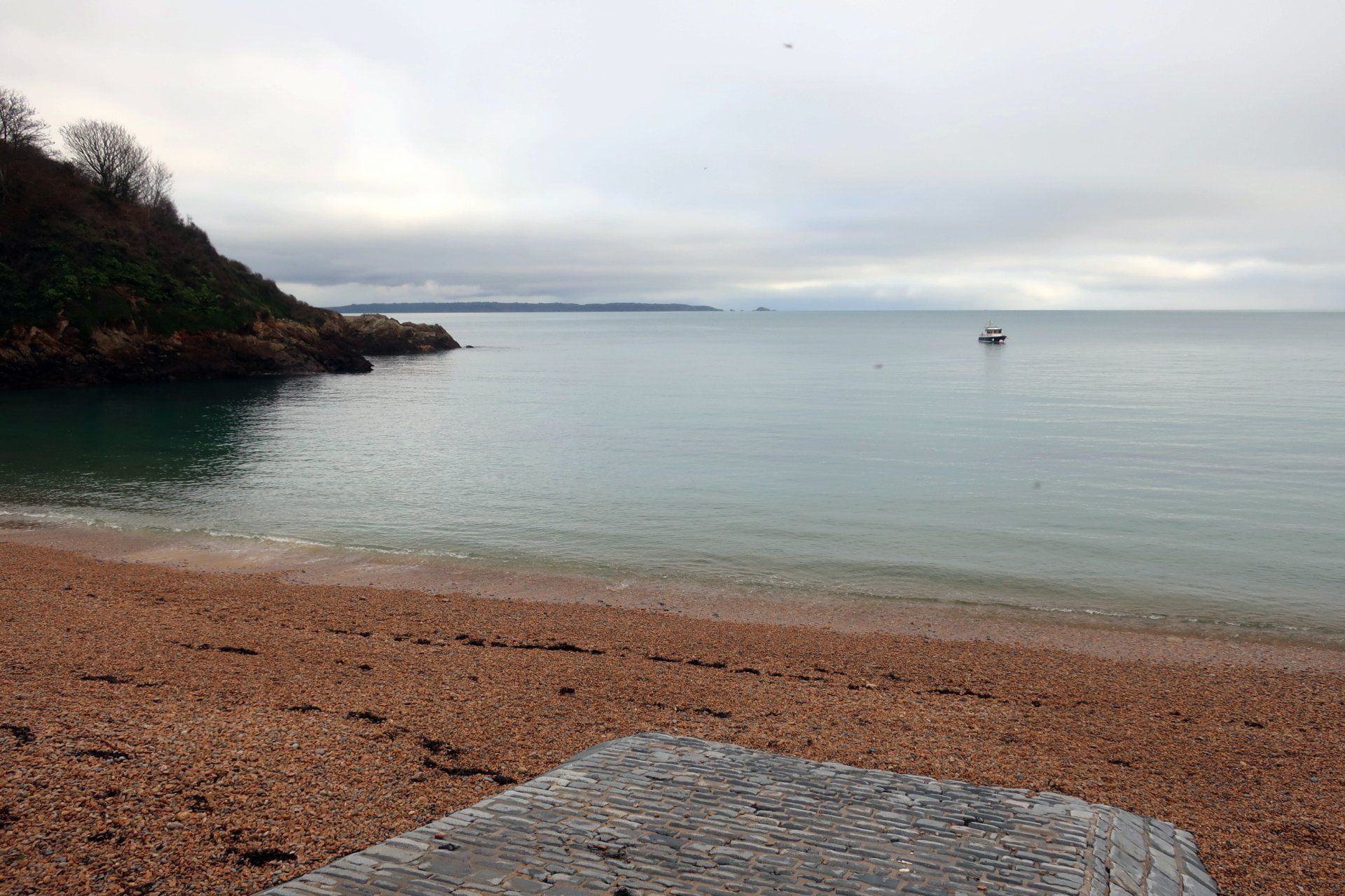
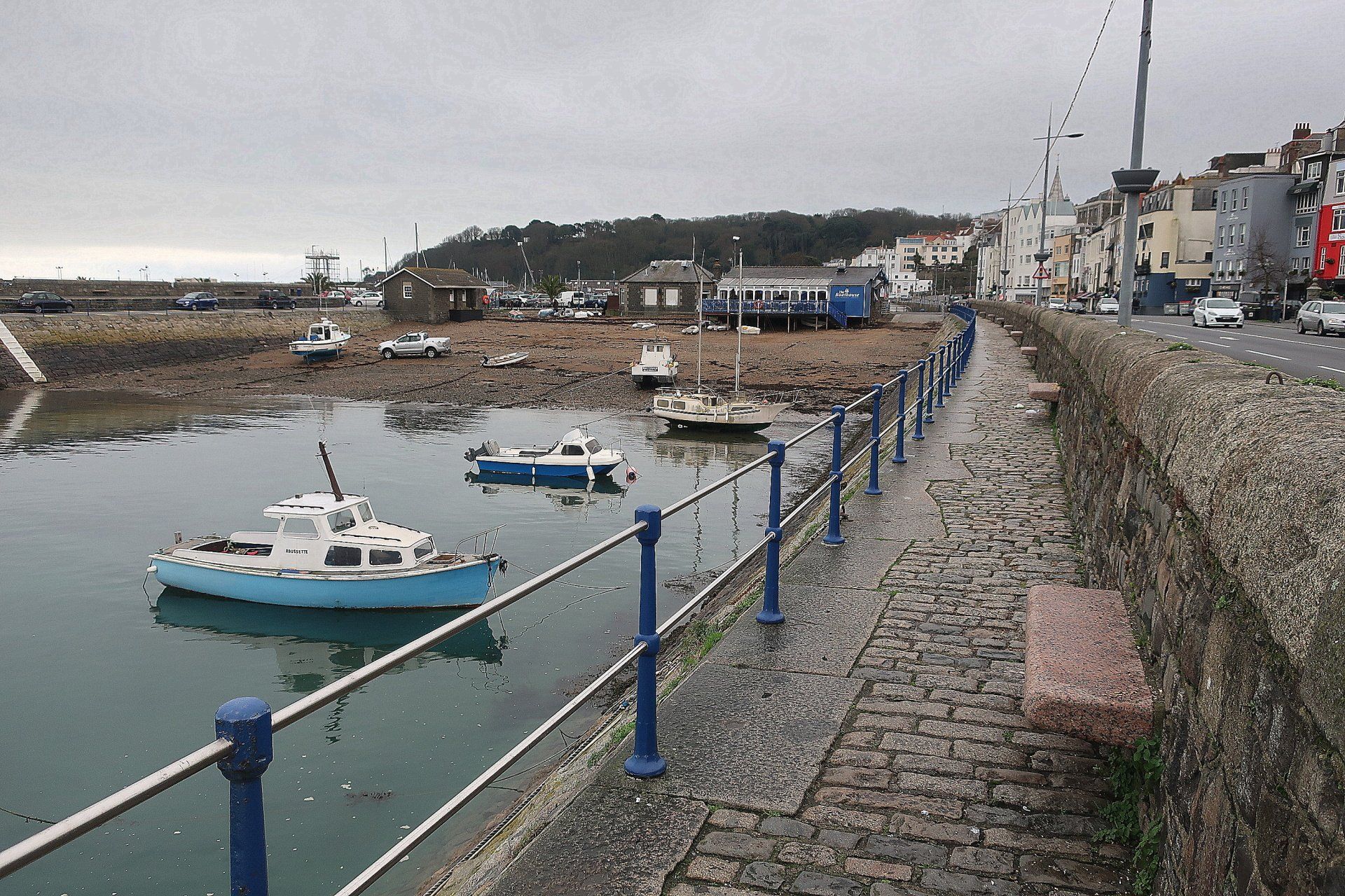
I park at the top of Petit Bot hill and walk down the road to the bay, where I finished in November. I take a peak at the beach, noting the tide is high and covering the sand, but overall the impression is one of greyness. The tea rooms are closed and there is not another soul in sight. In fact, this solitude continues for a while, other than a couple of cows obligingly staring at the camera for photo shoot a little further on.
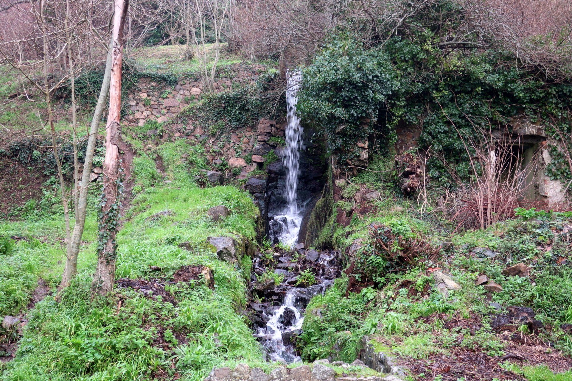
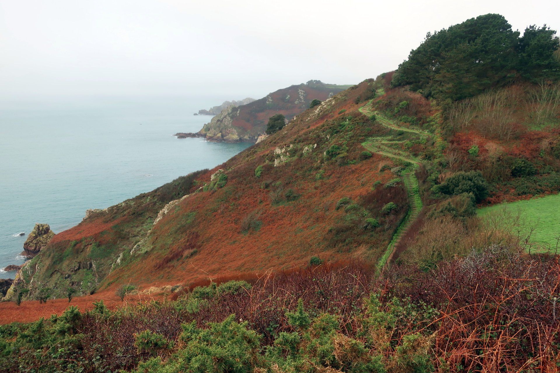
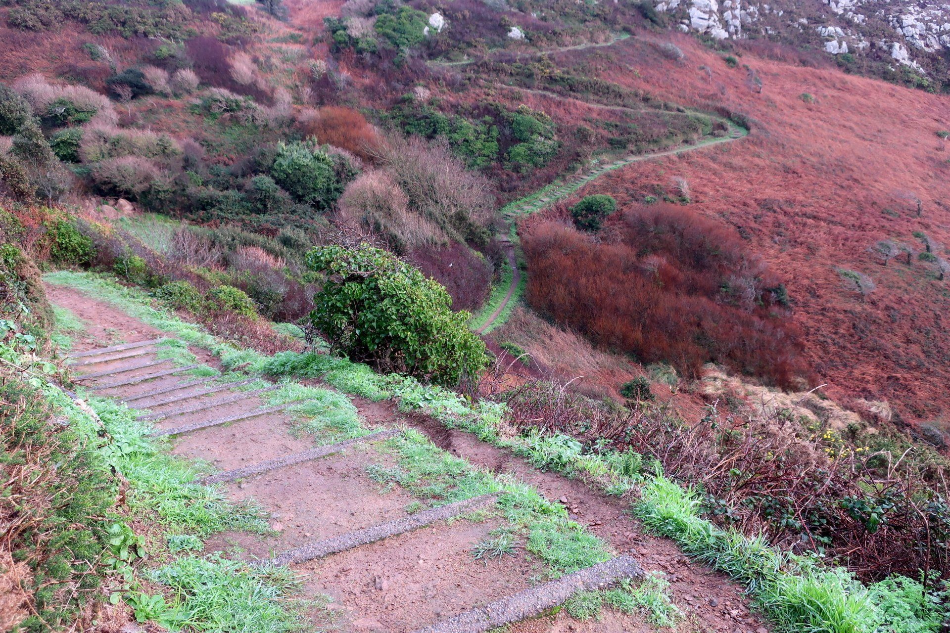
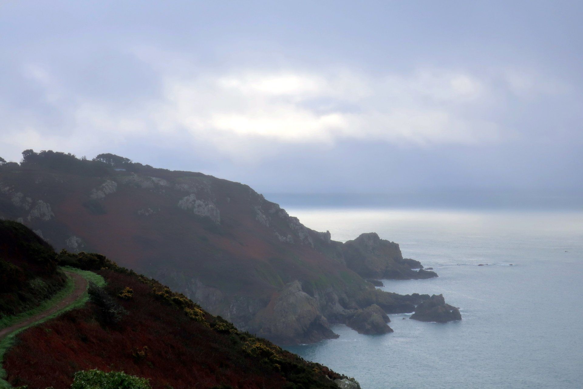
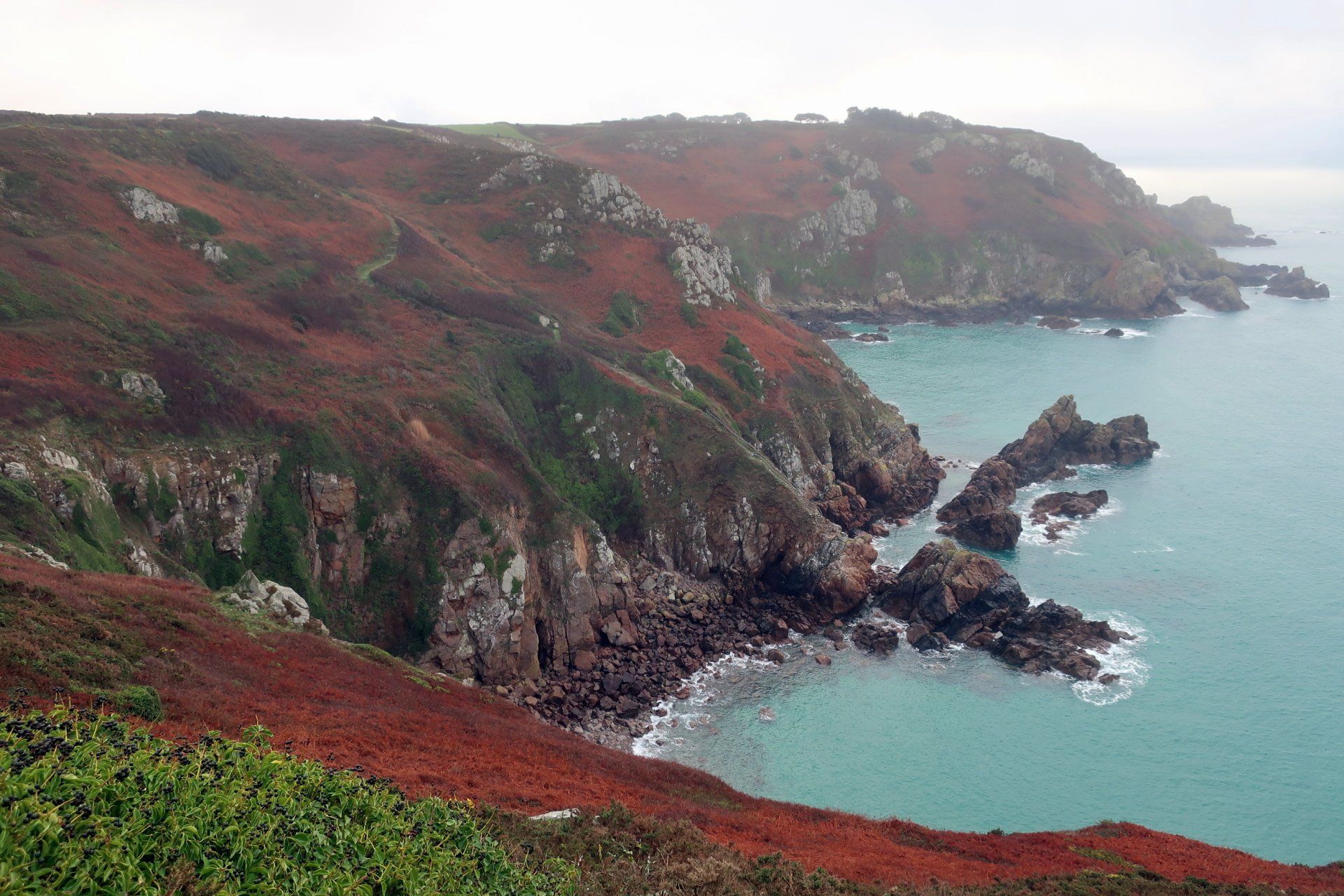
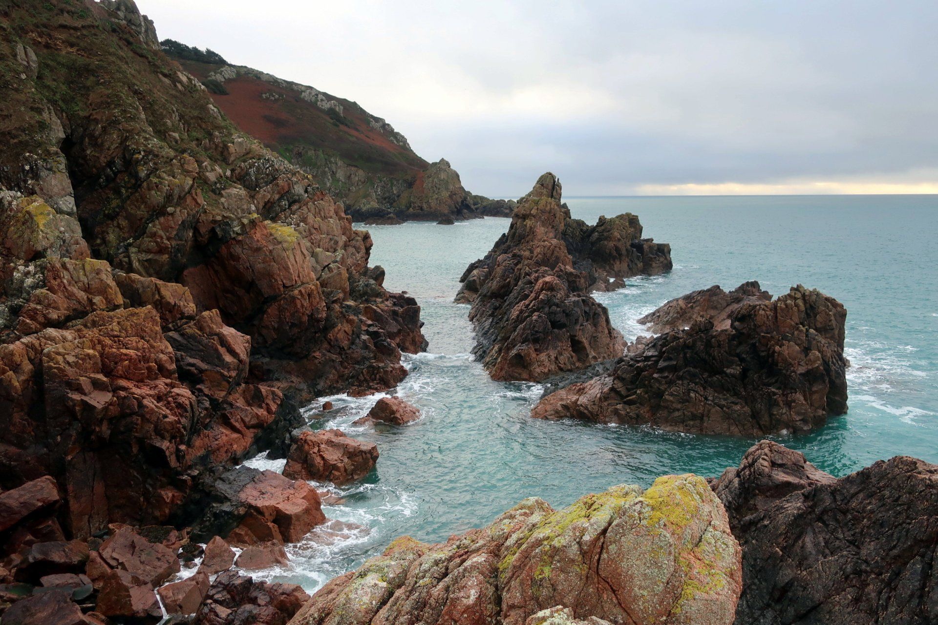
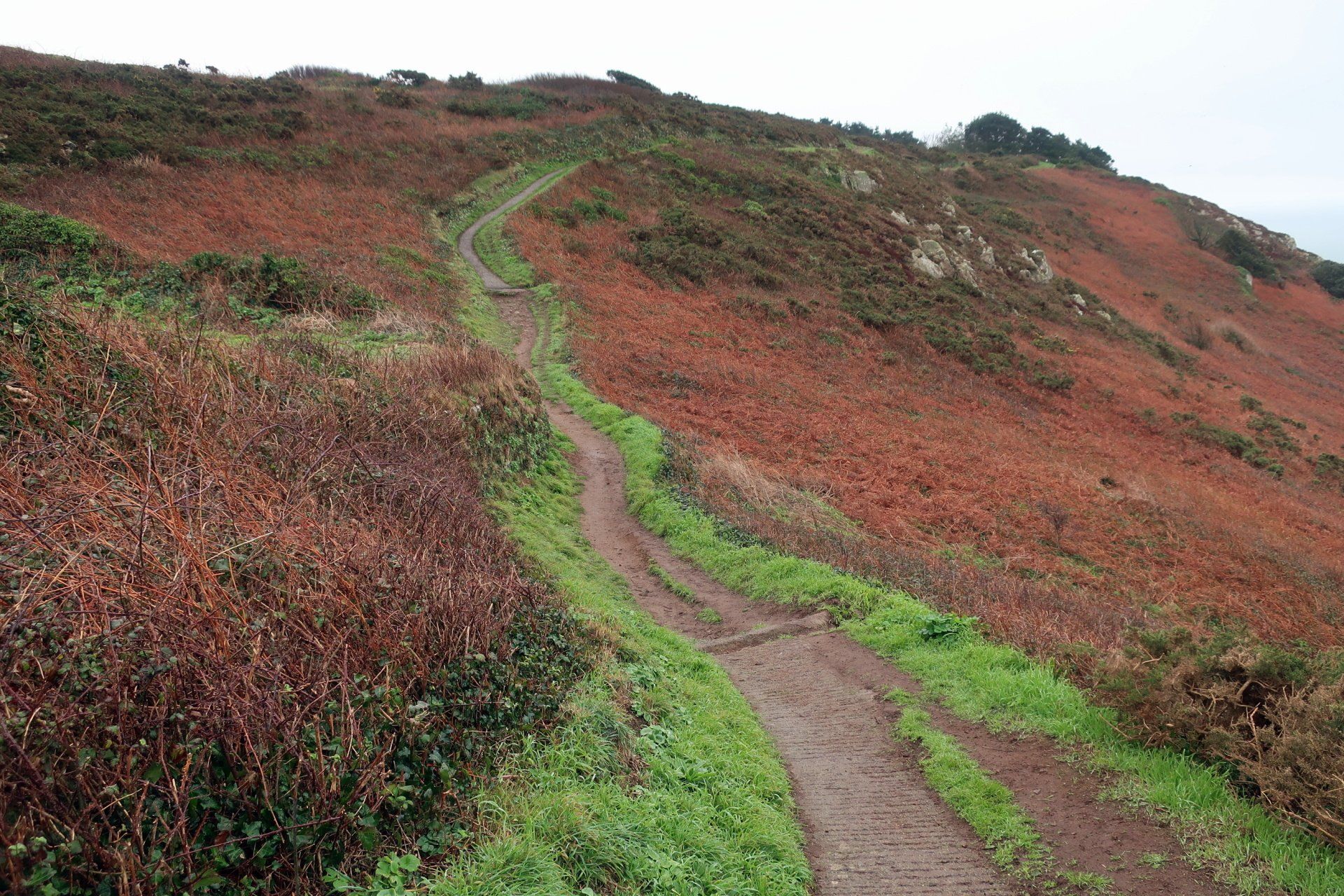
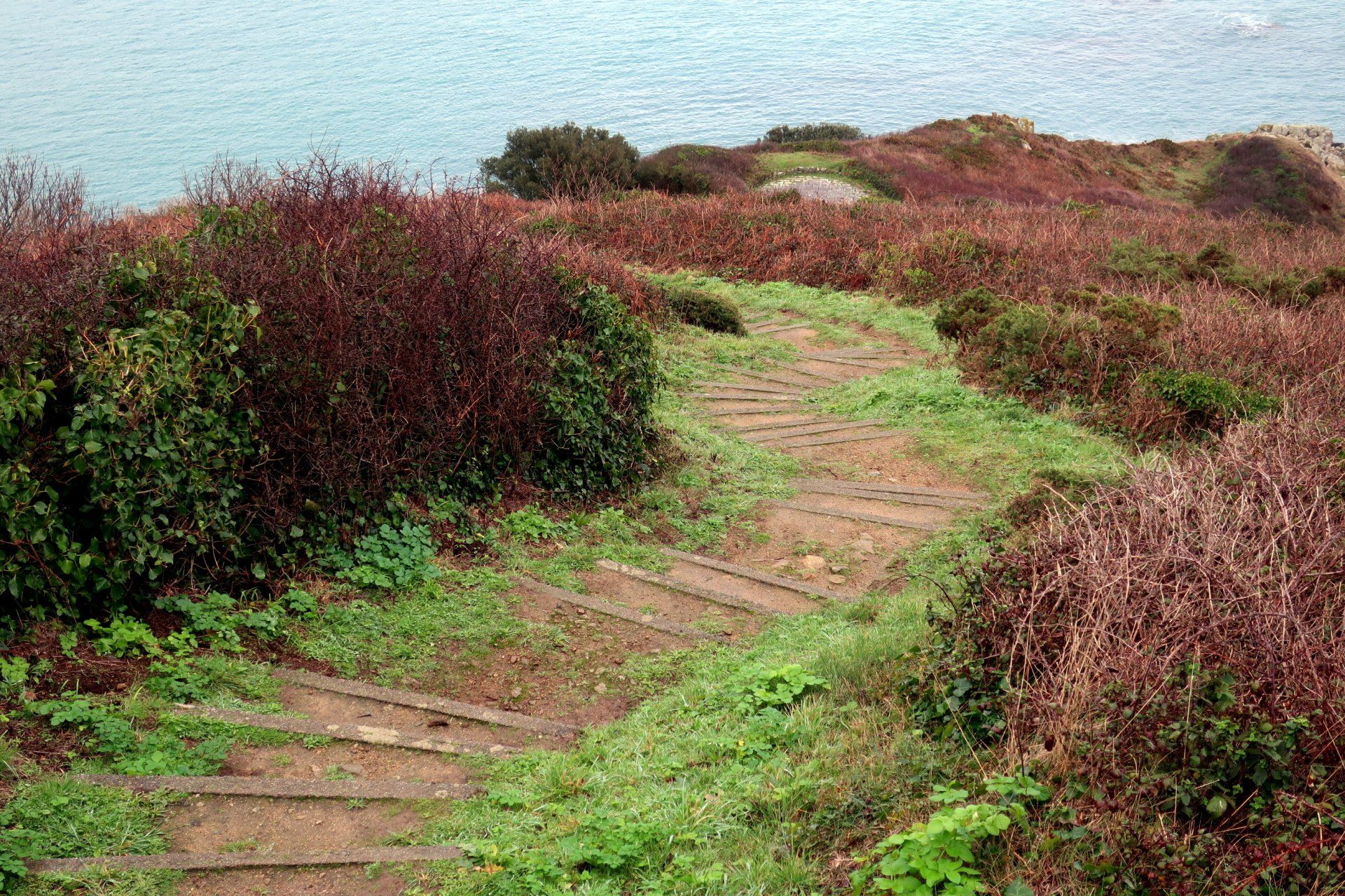
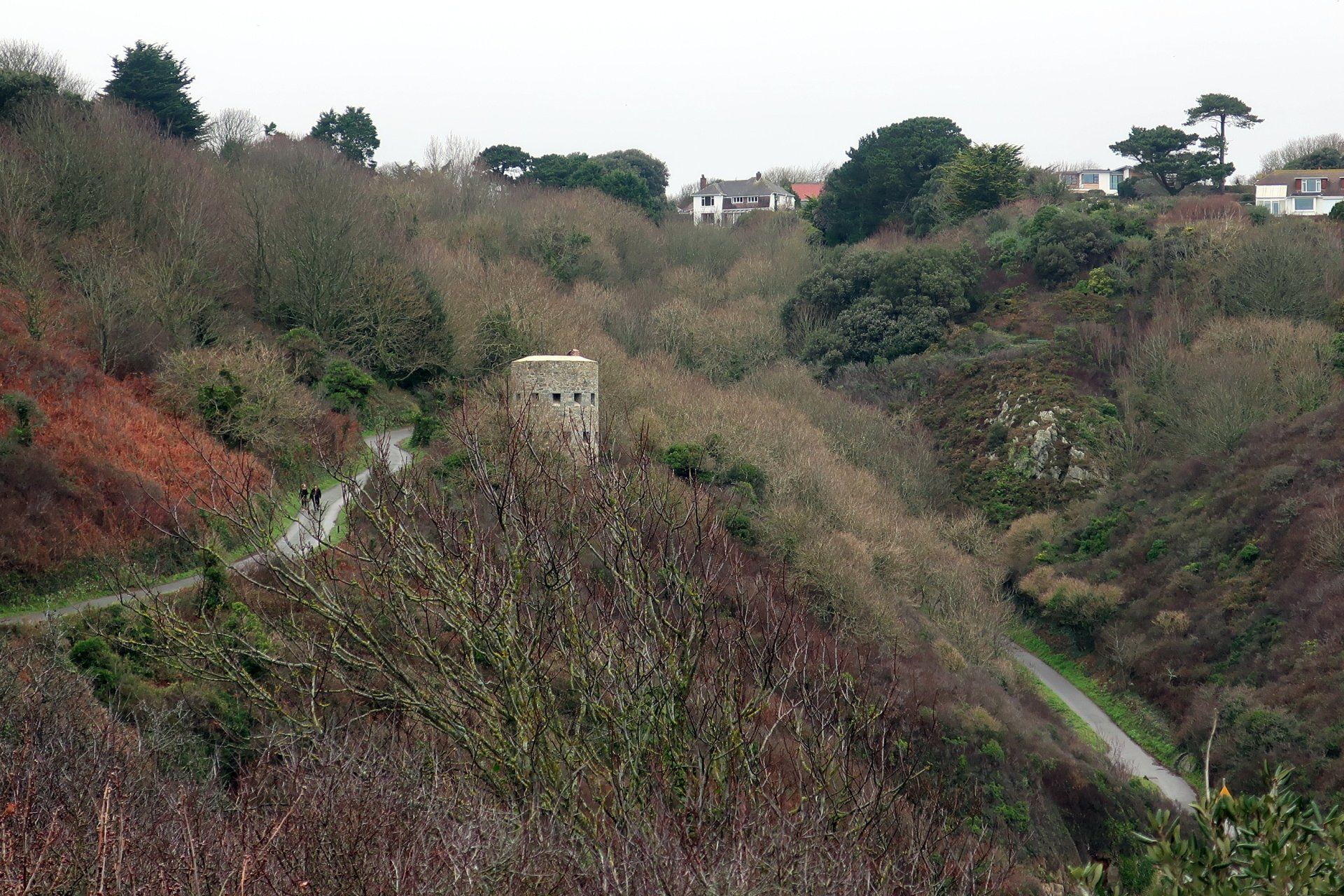
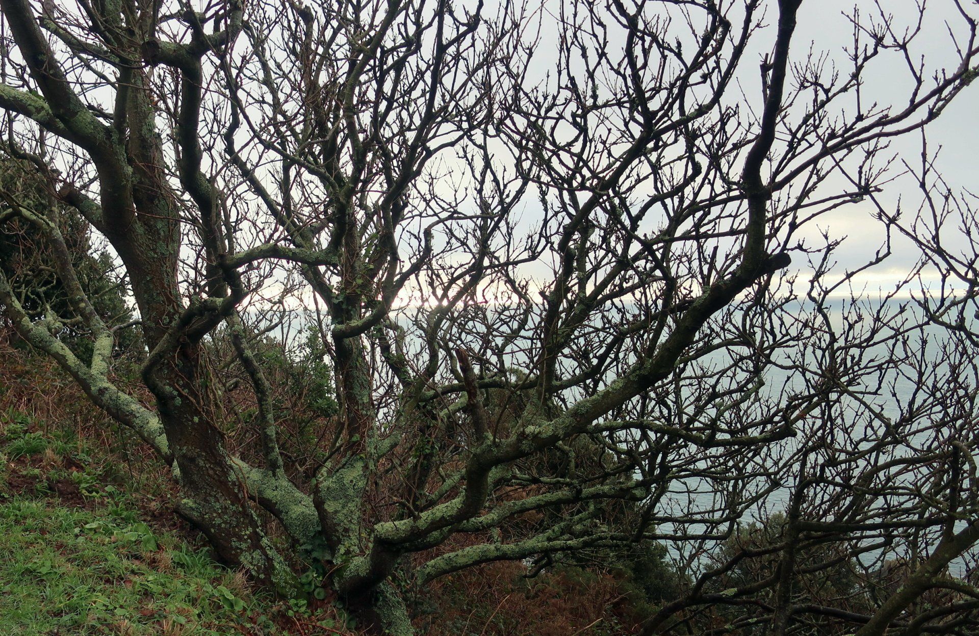
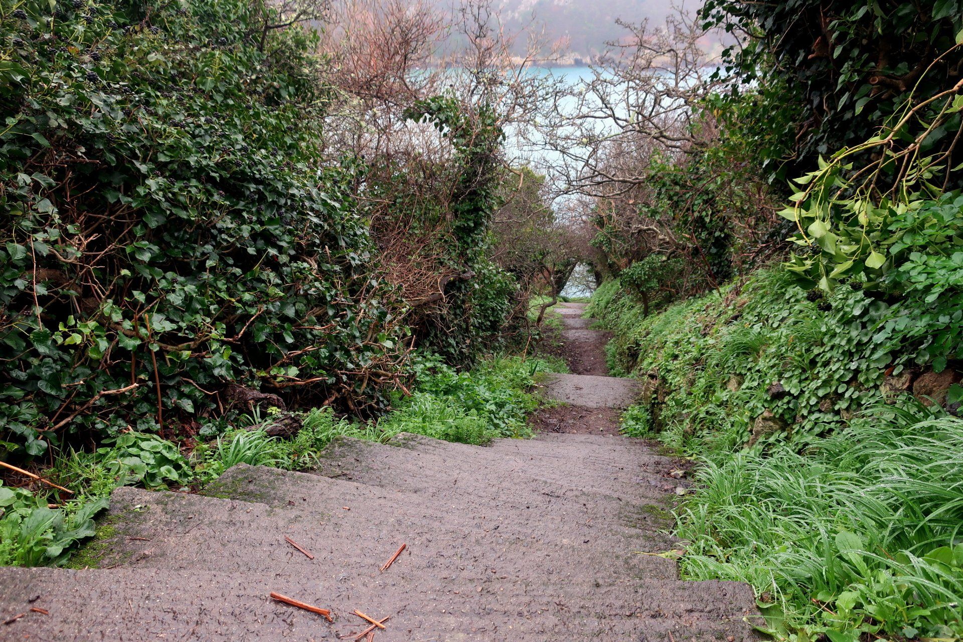
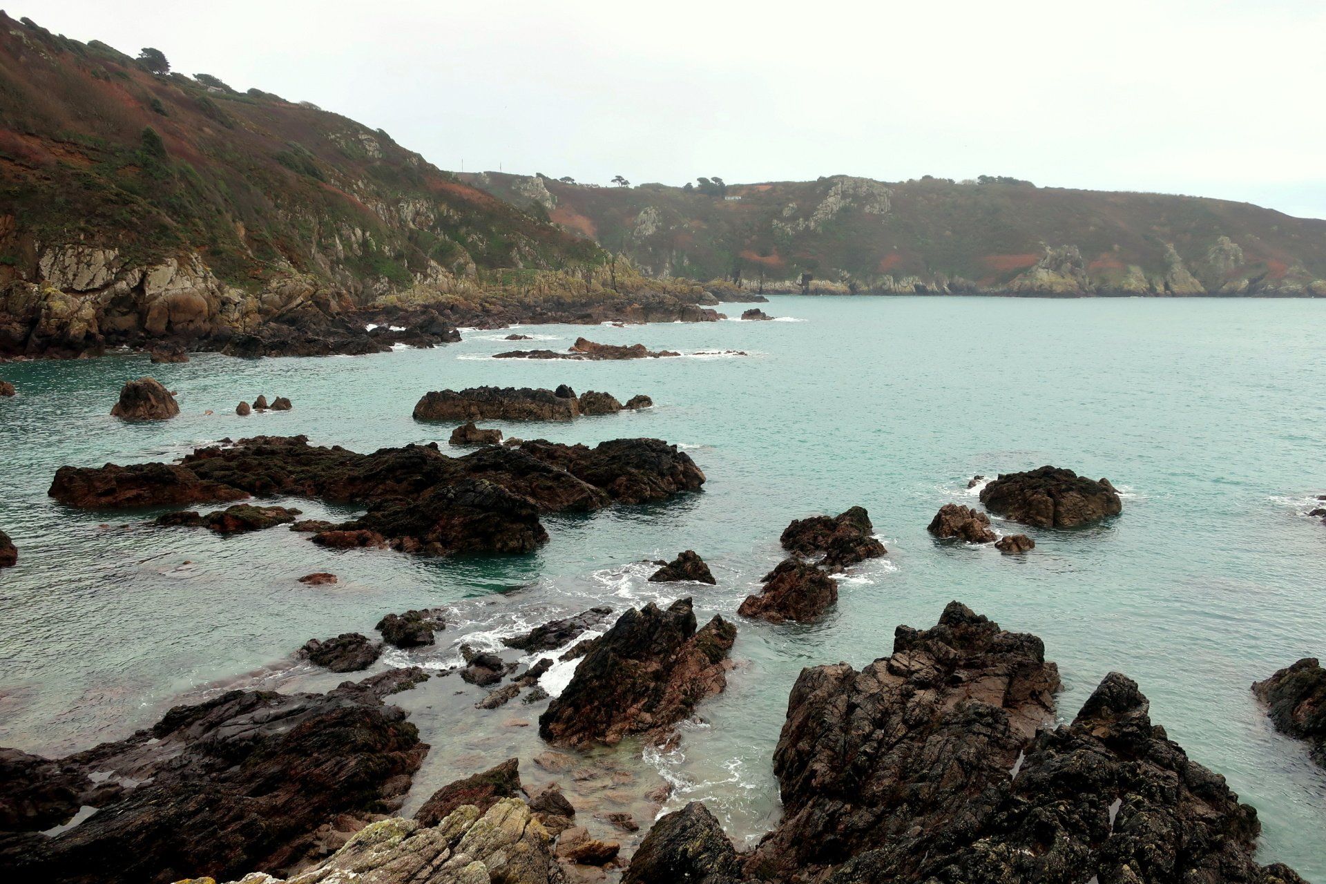
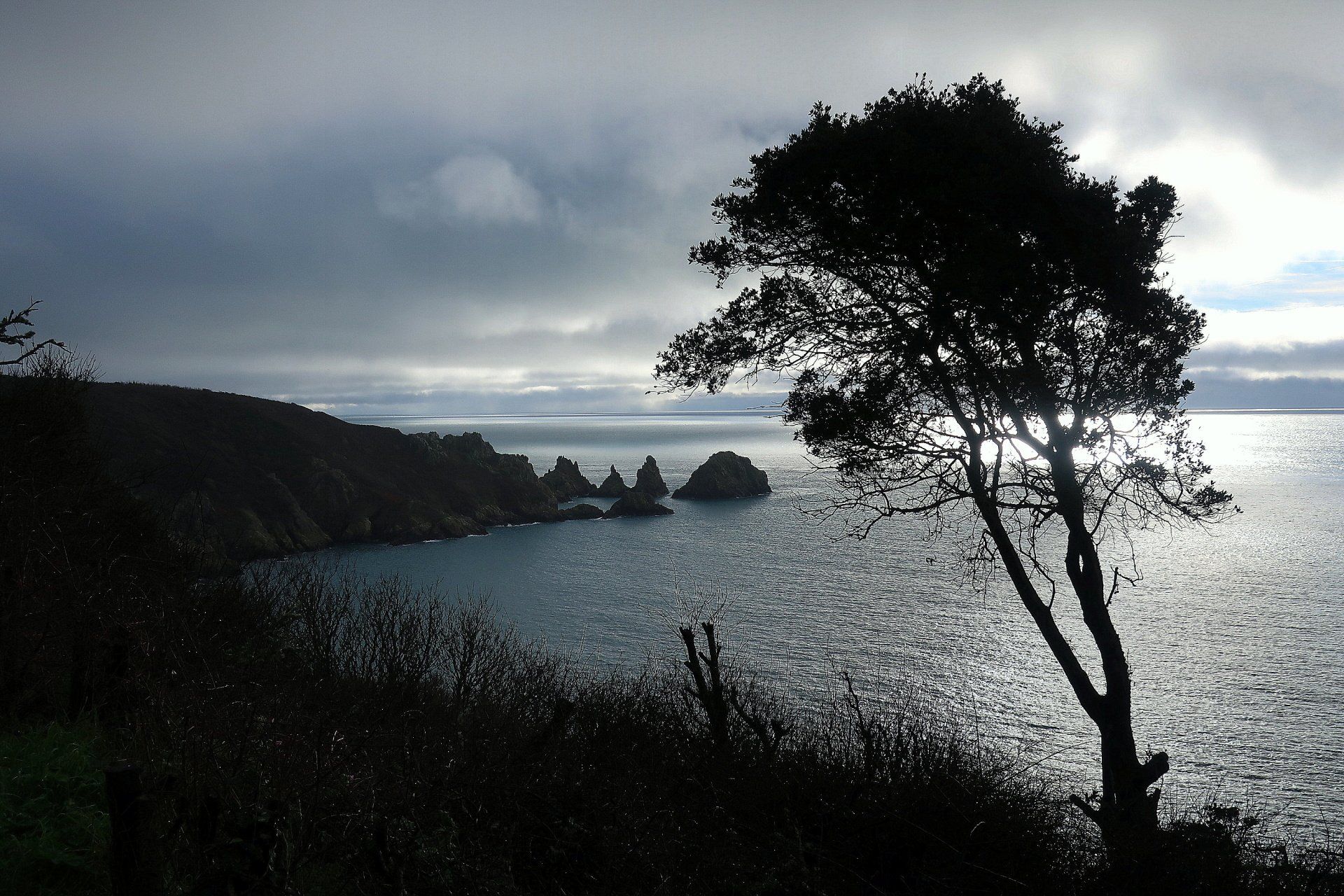
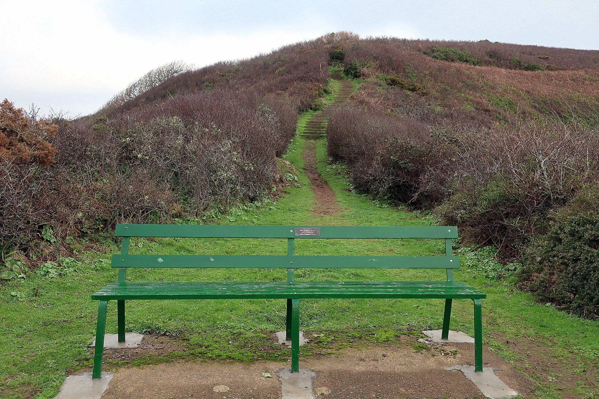
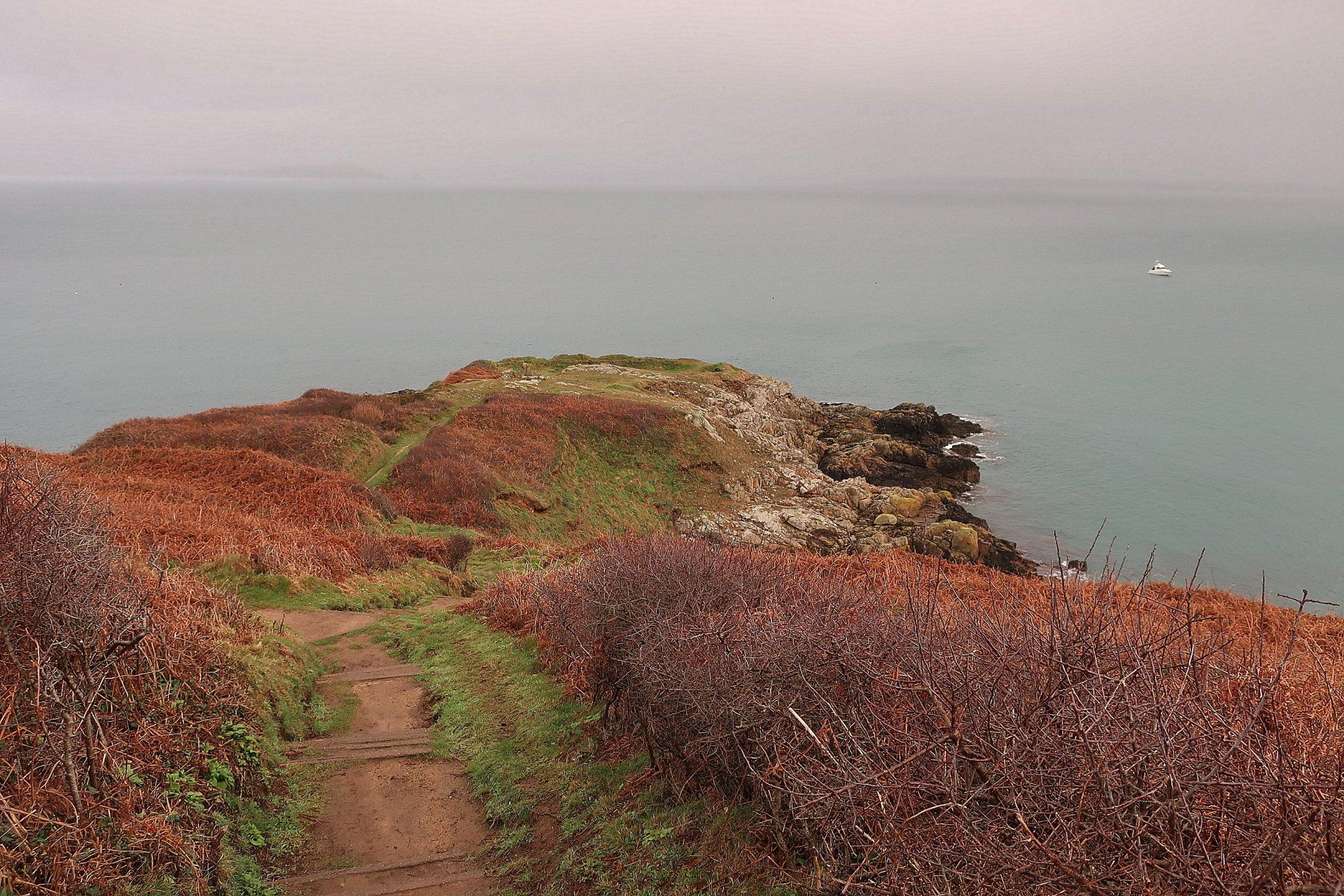
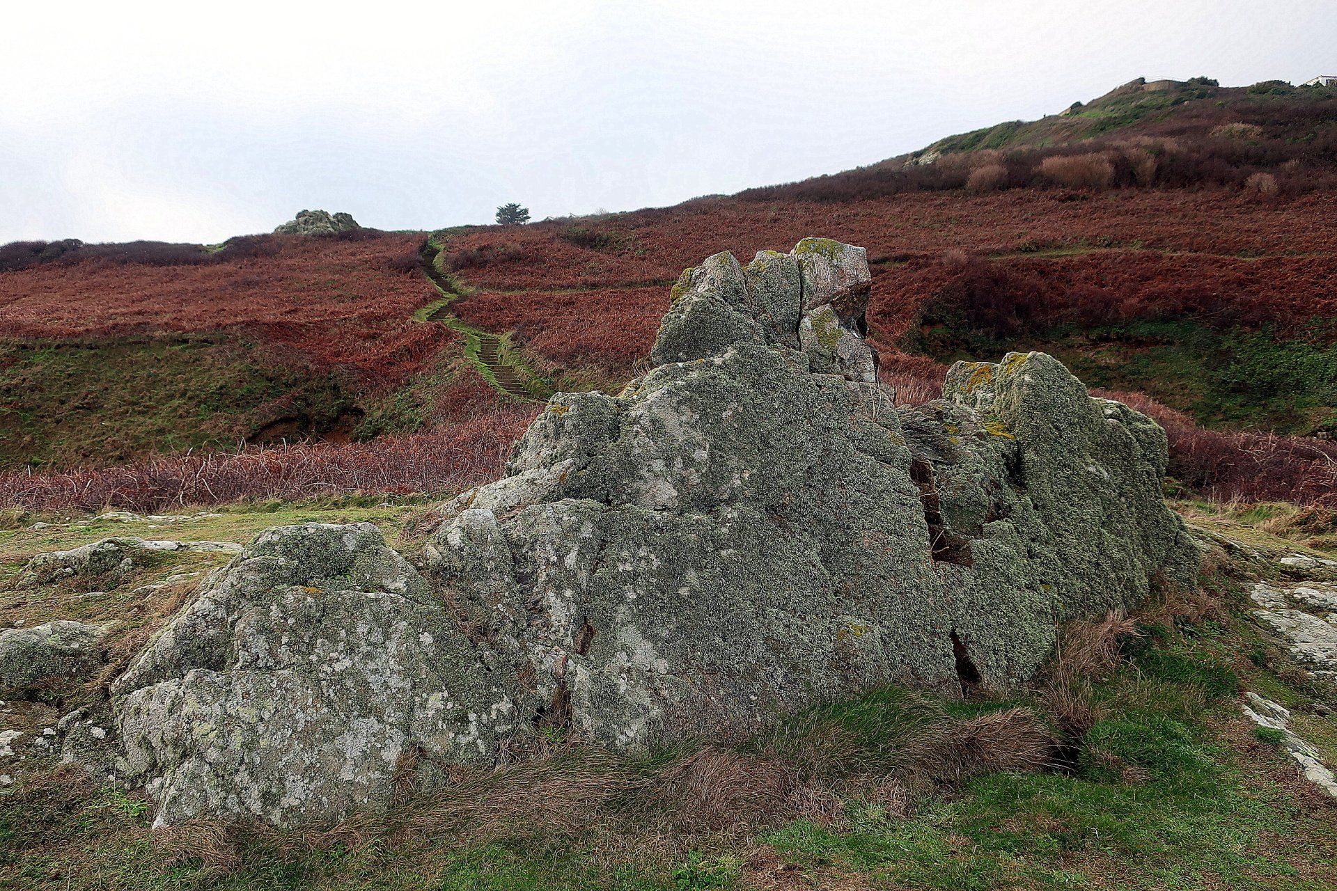
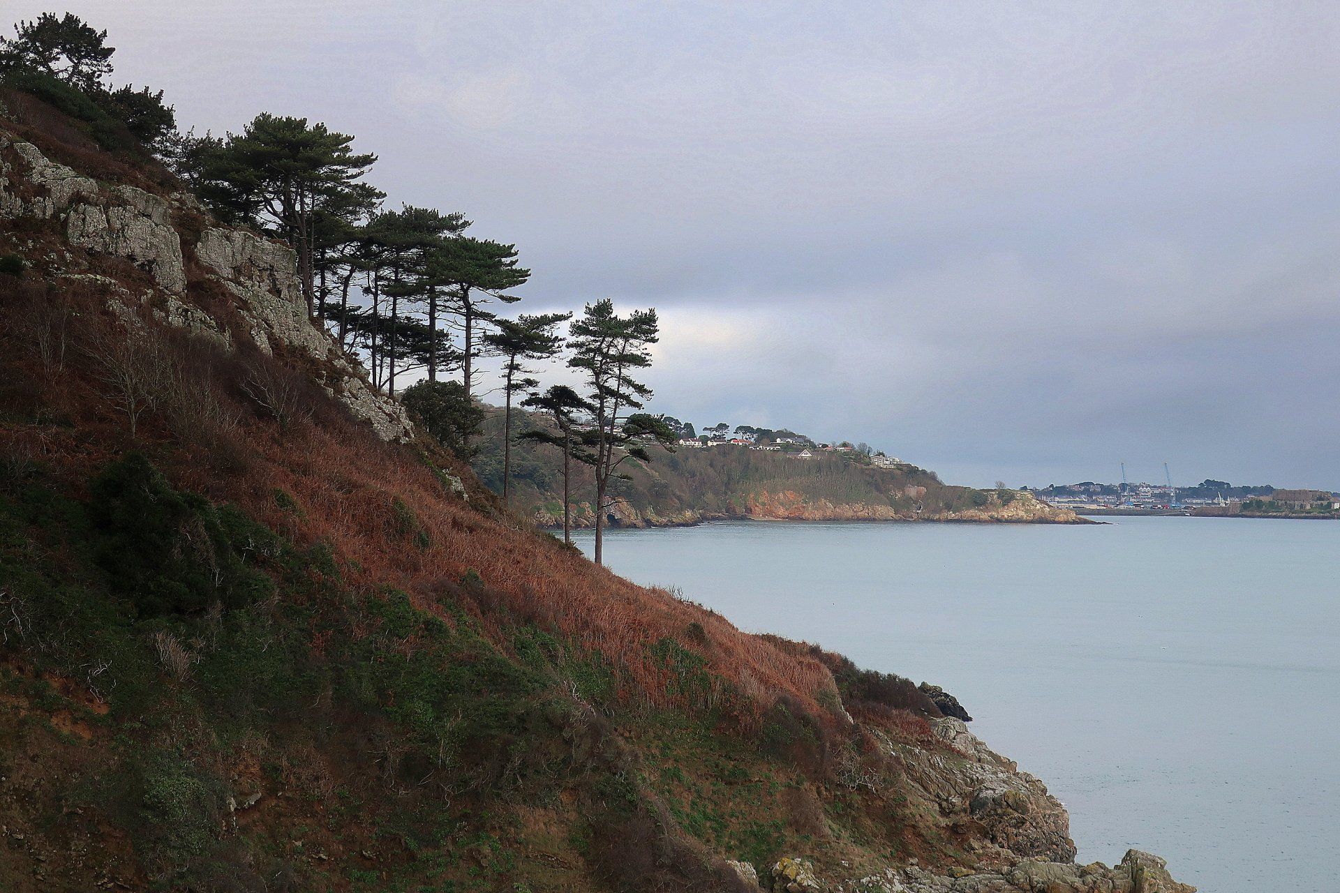
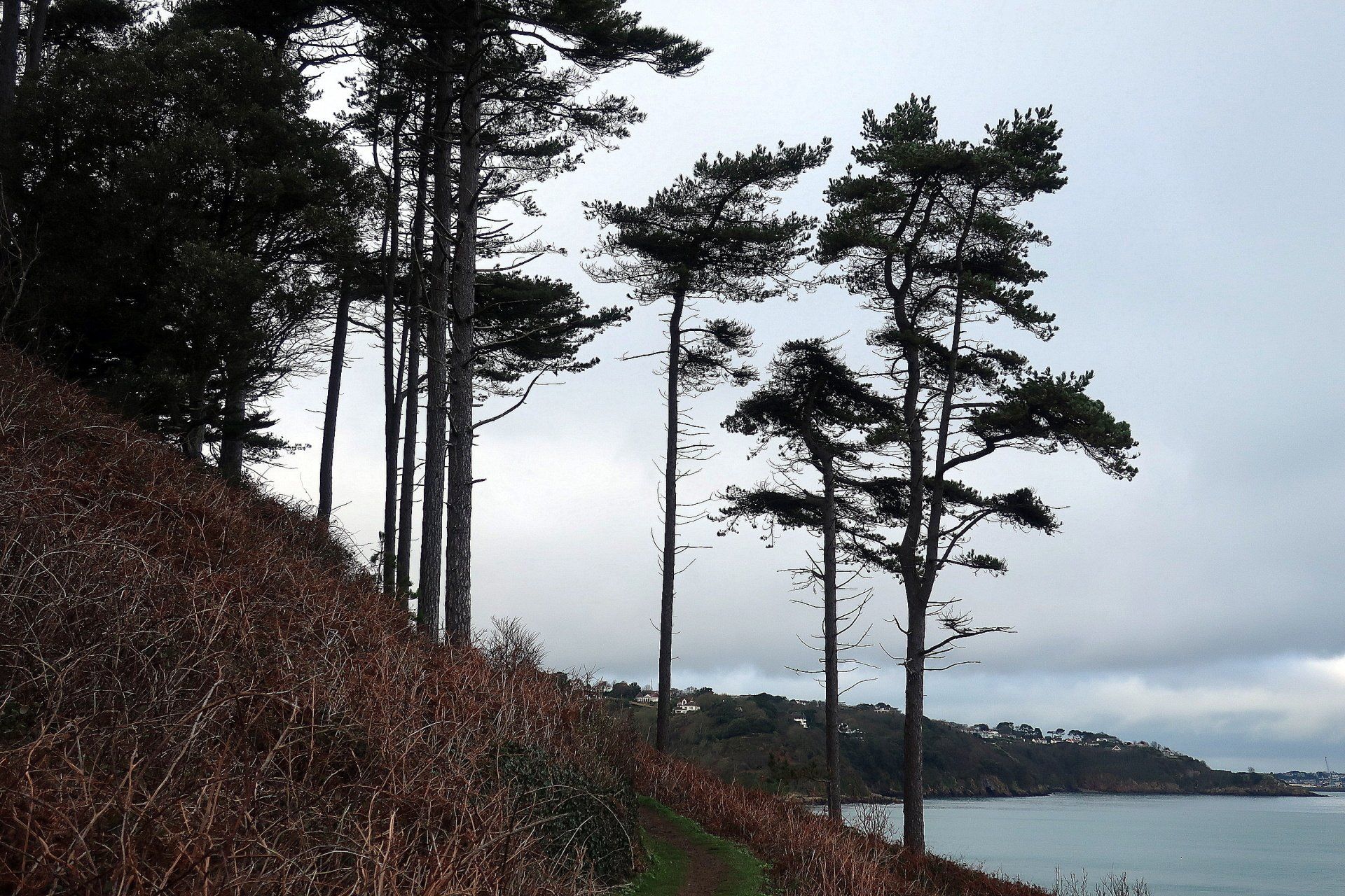
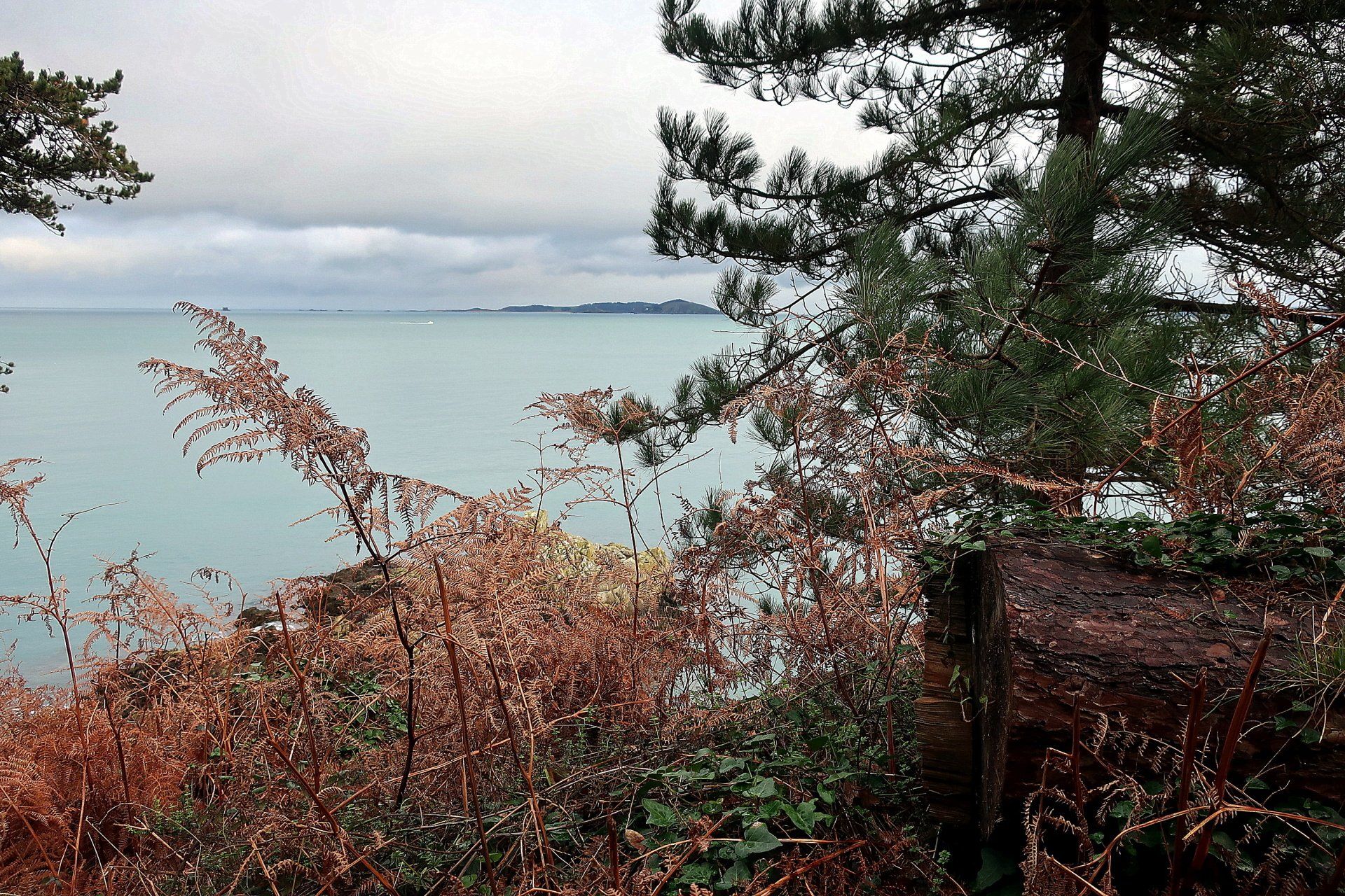
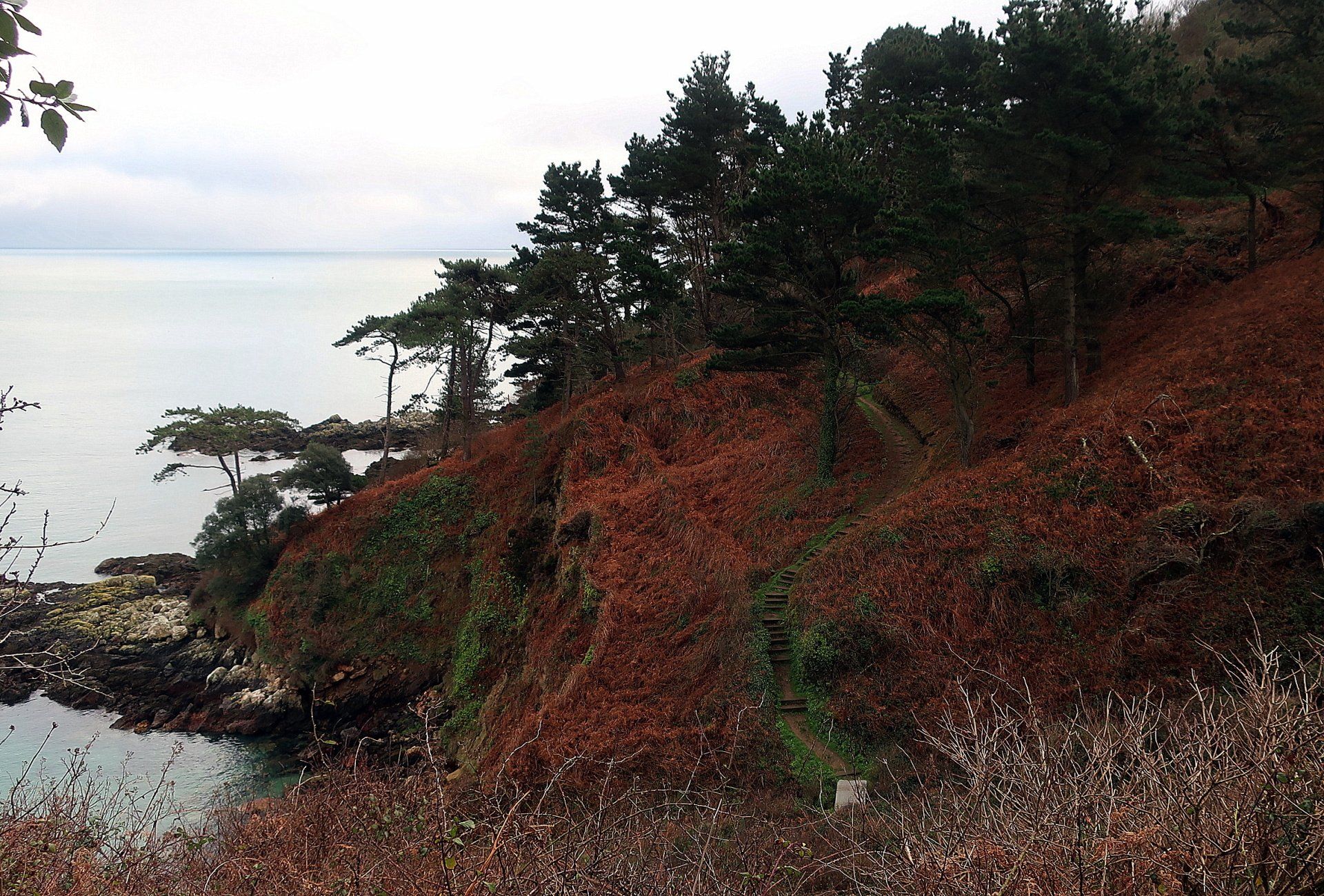
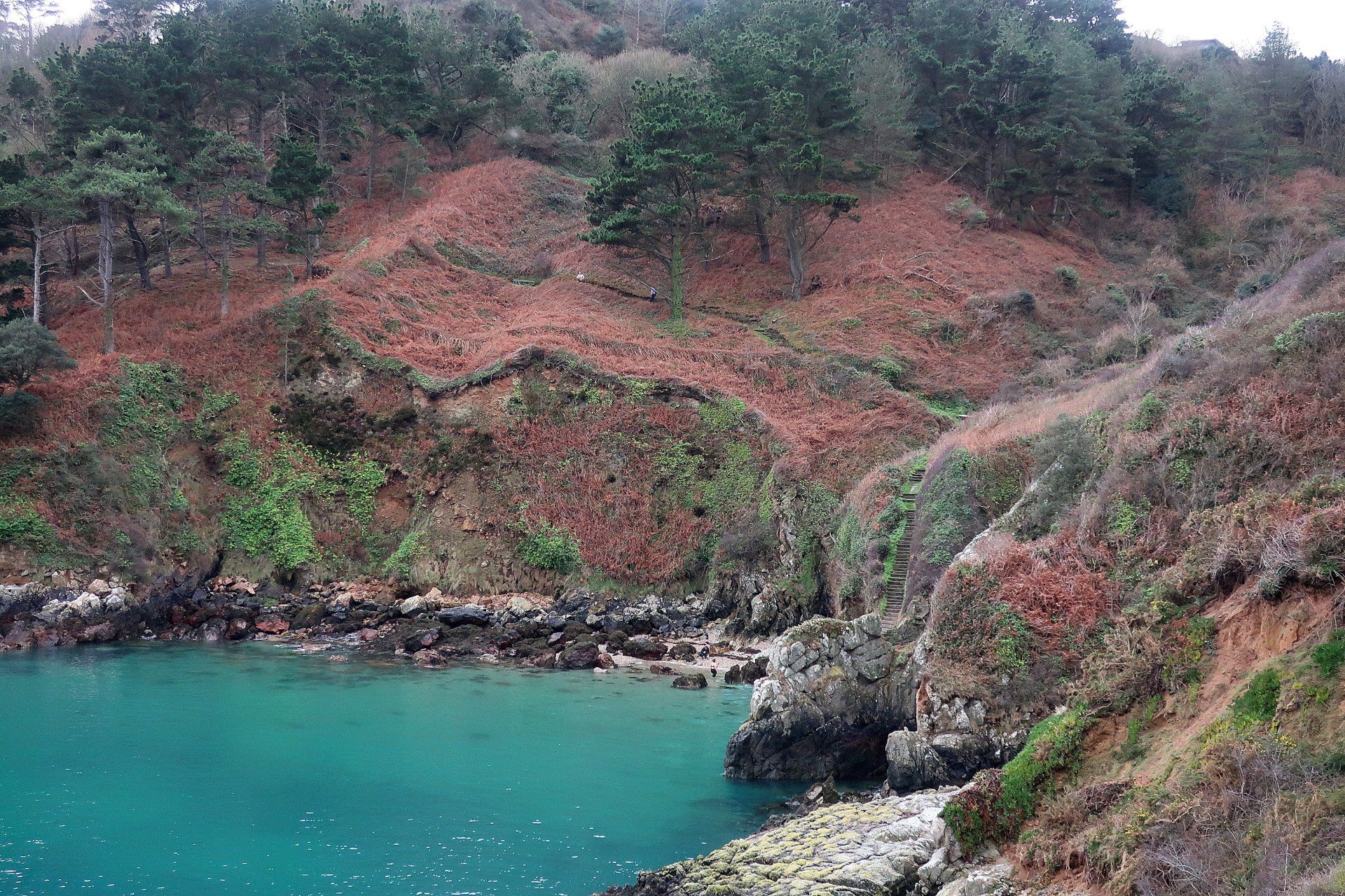
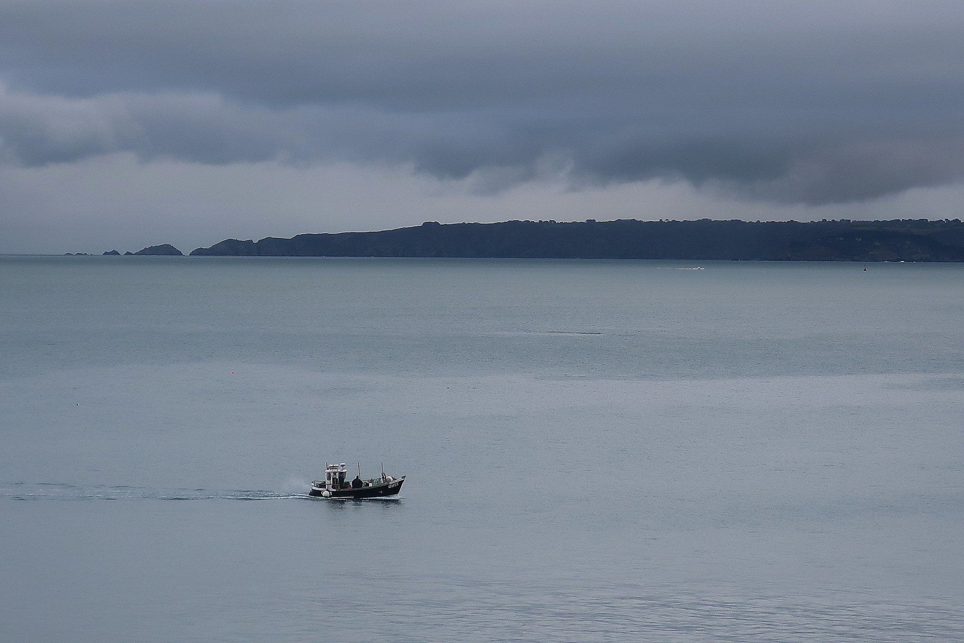
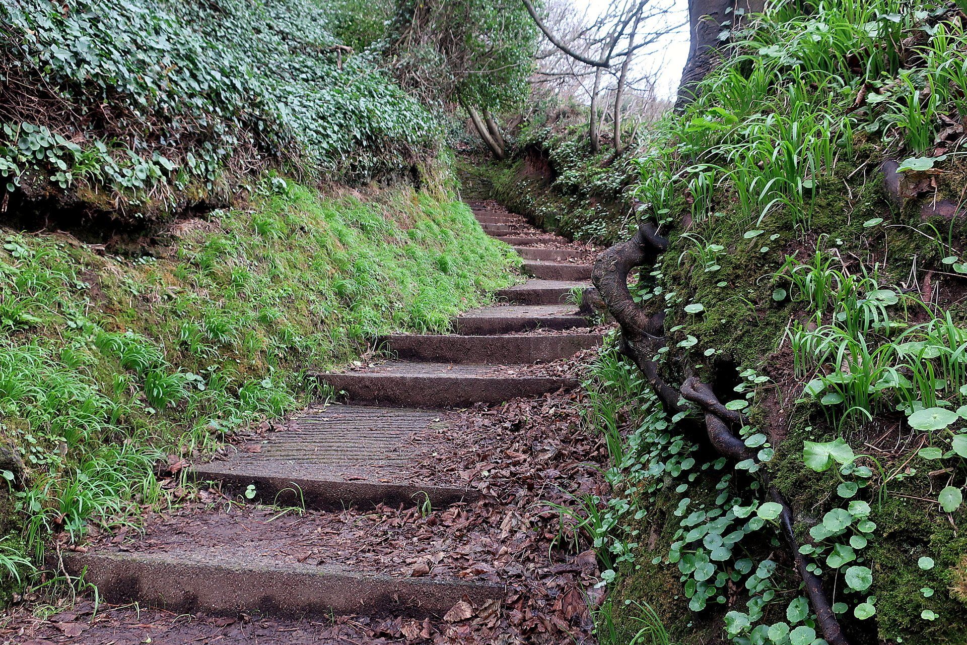
Climbing up out of the valley on the cliff path I am soon overlooking the bay and the misty shapes of more distant headlands. The path tracks in and out, up and down the valleys. This end of the cliffs does tend to be quite lumpy, with higher degree gradient, and I am exacerbating that by trying to divert to the various bays along the way, this generally resulting in some sort of sharp descent followed by the climb back up.
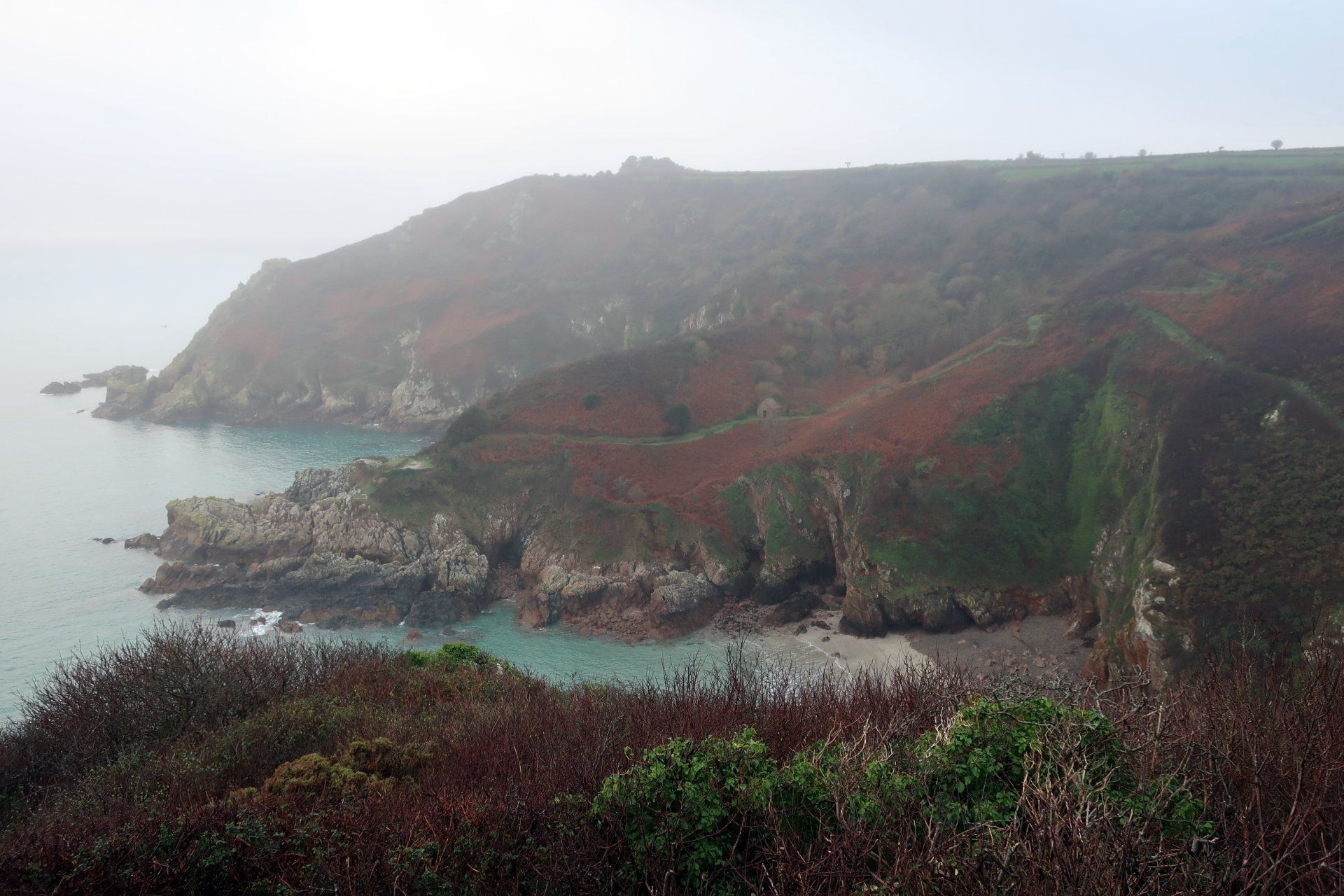
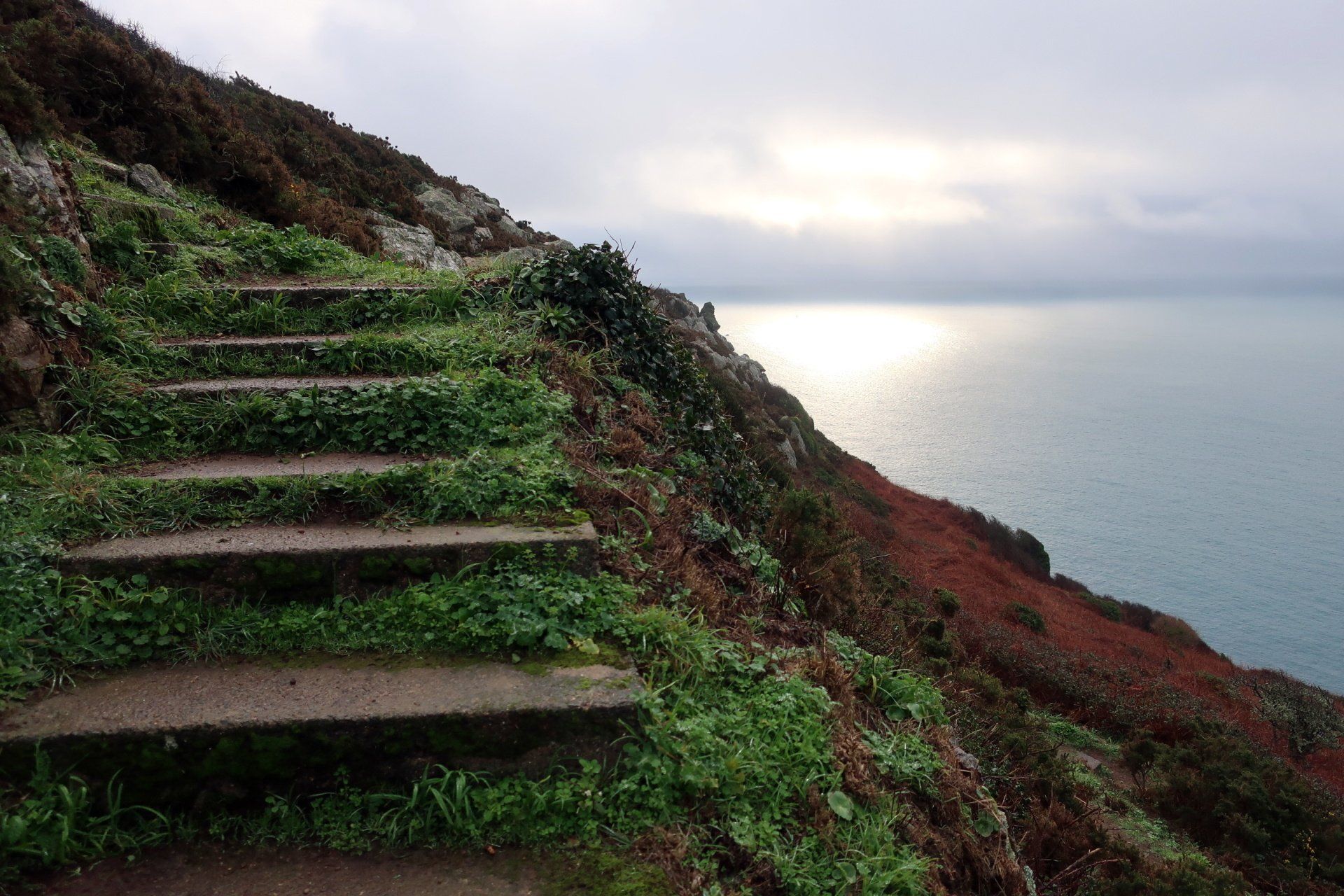
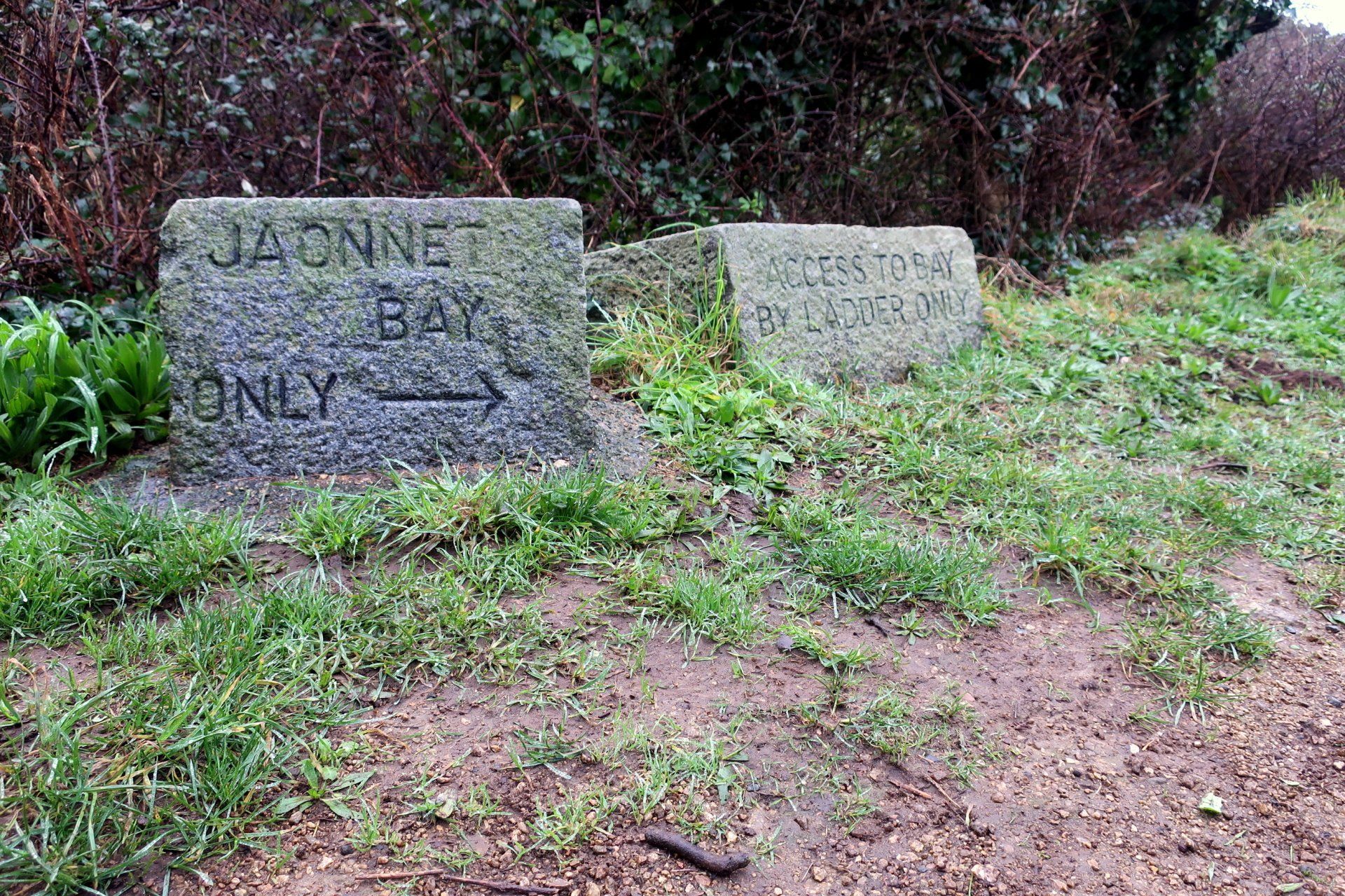
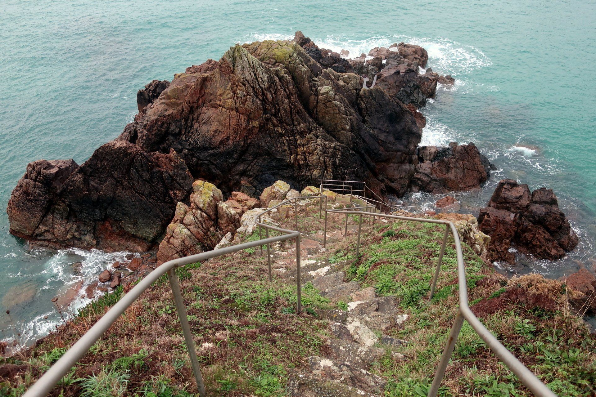
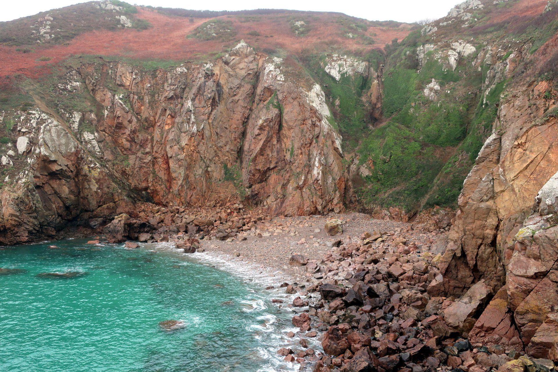
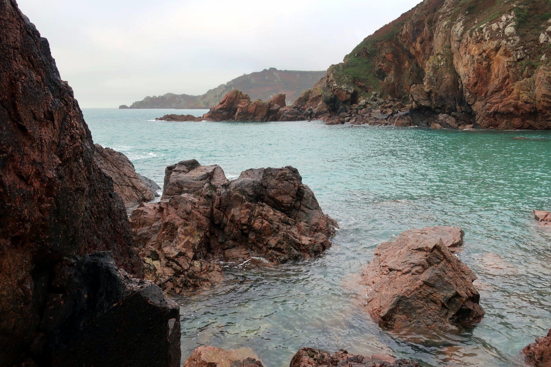
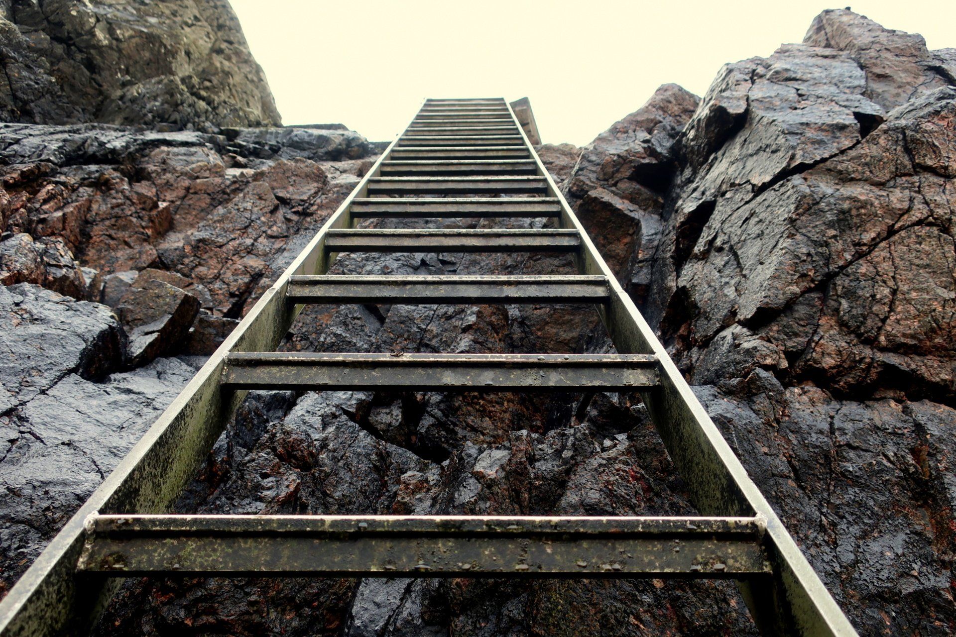
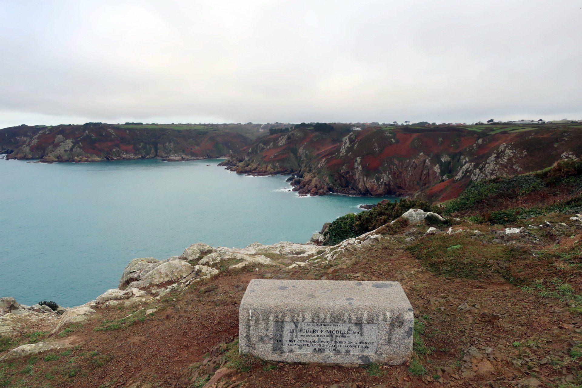
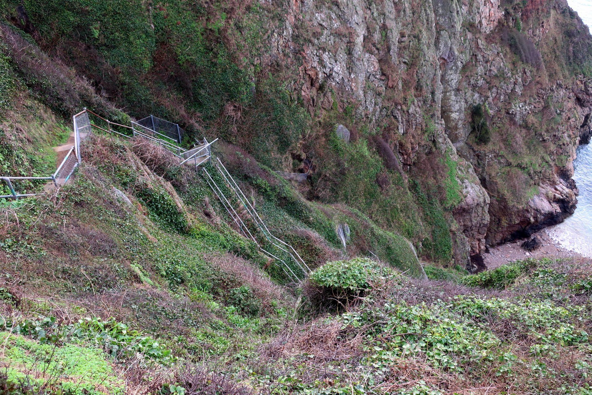
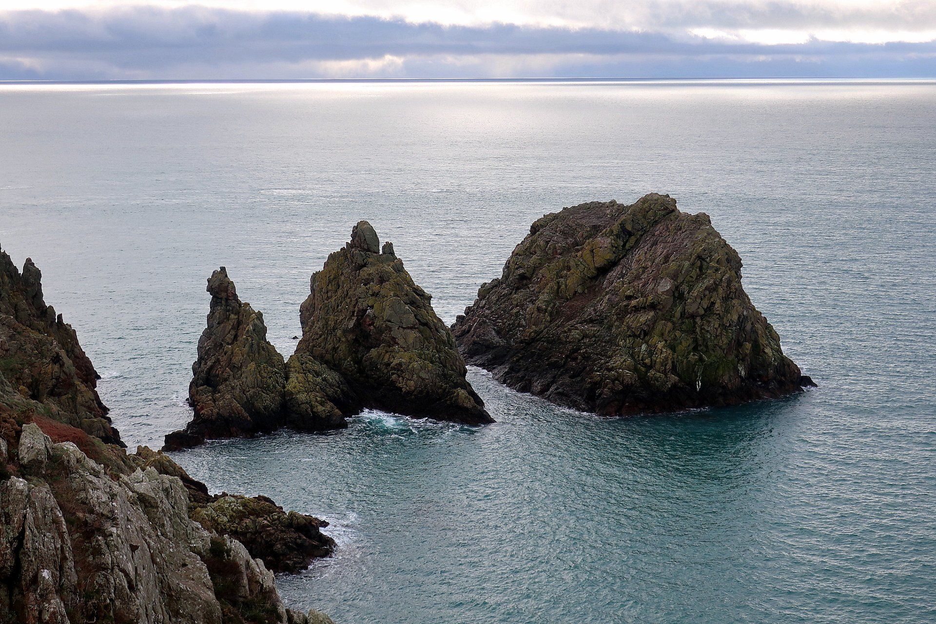
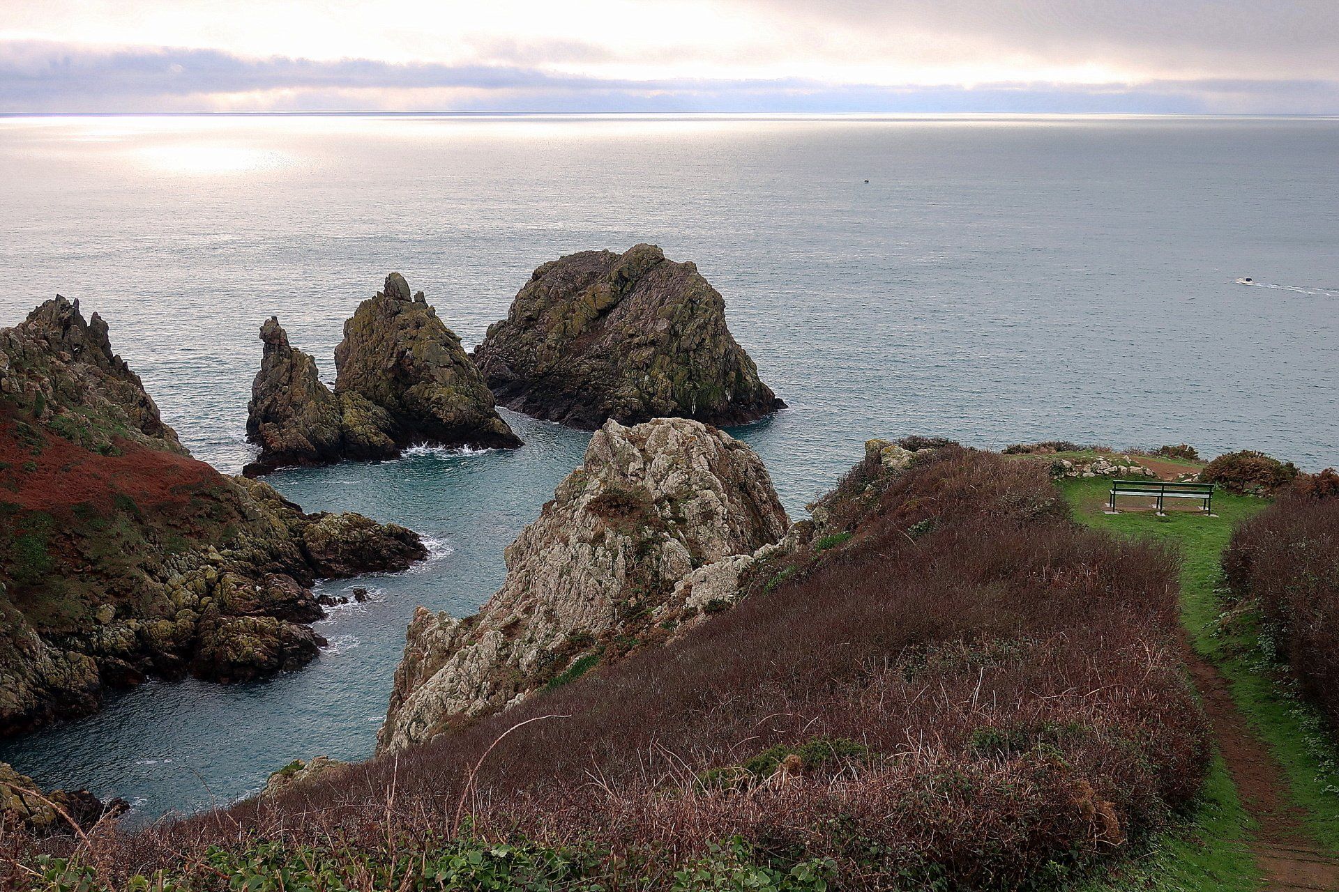
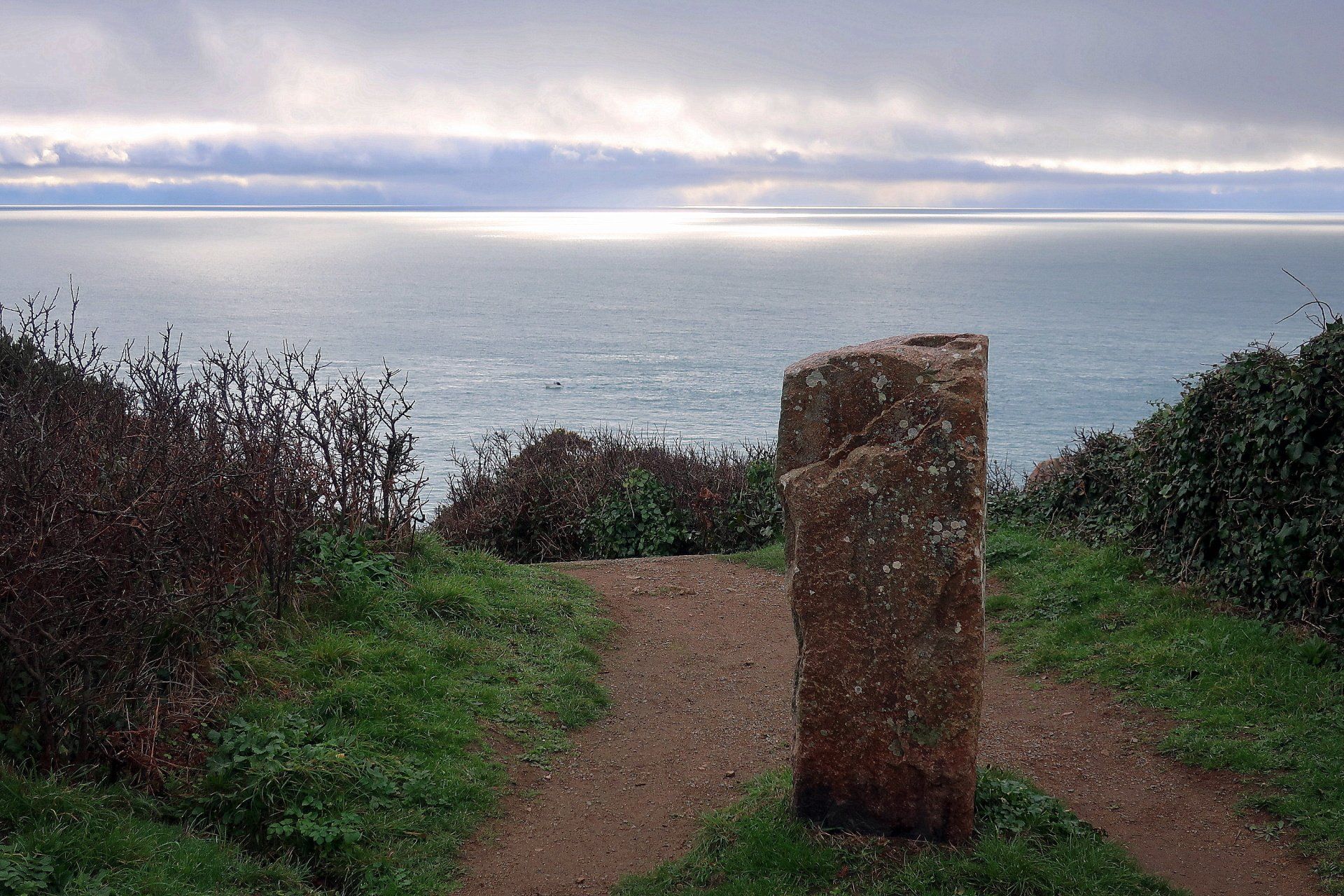
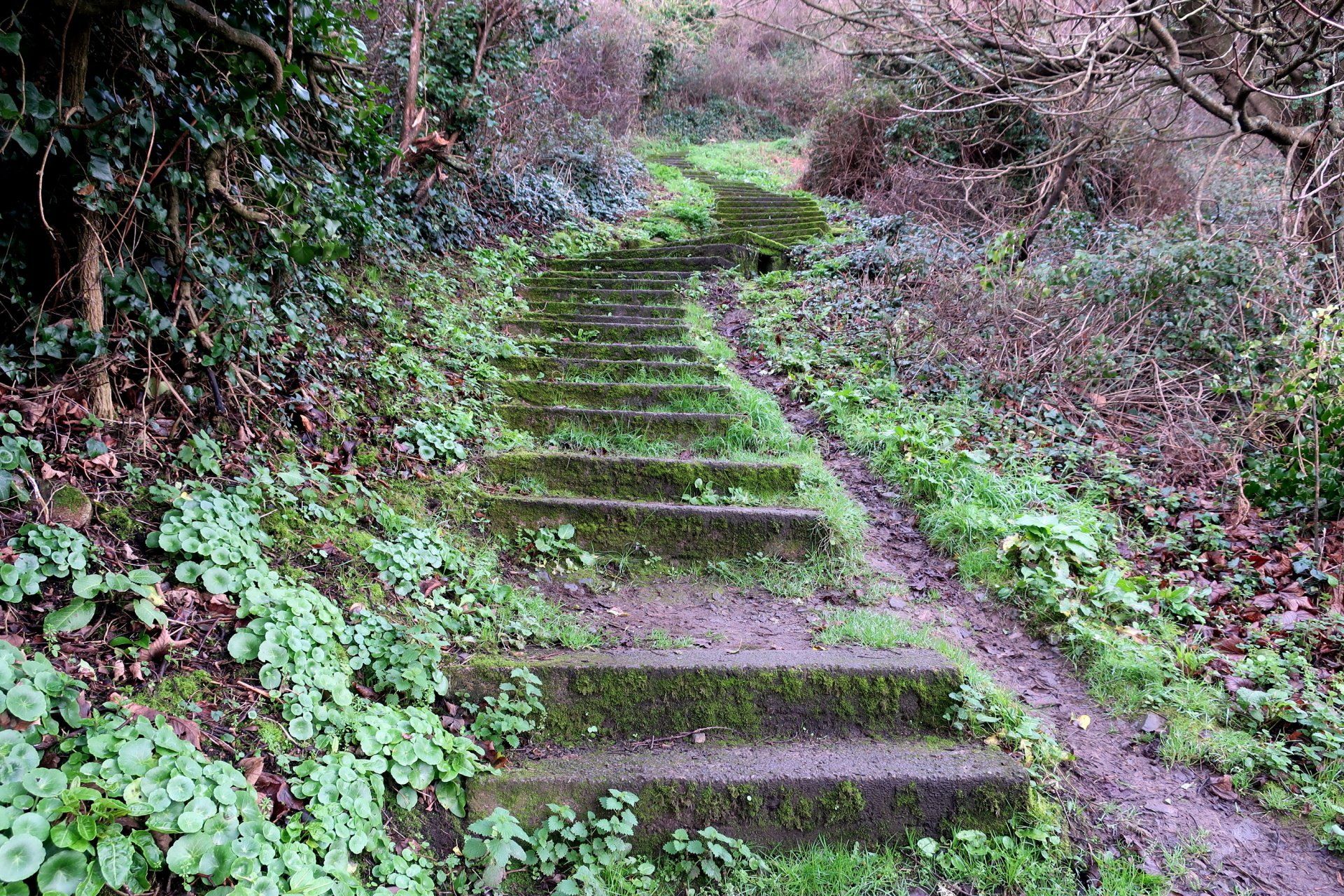
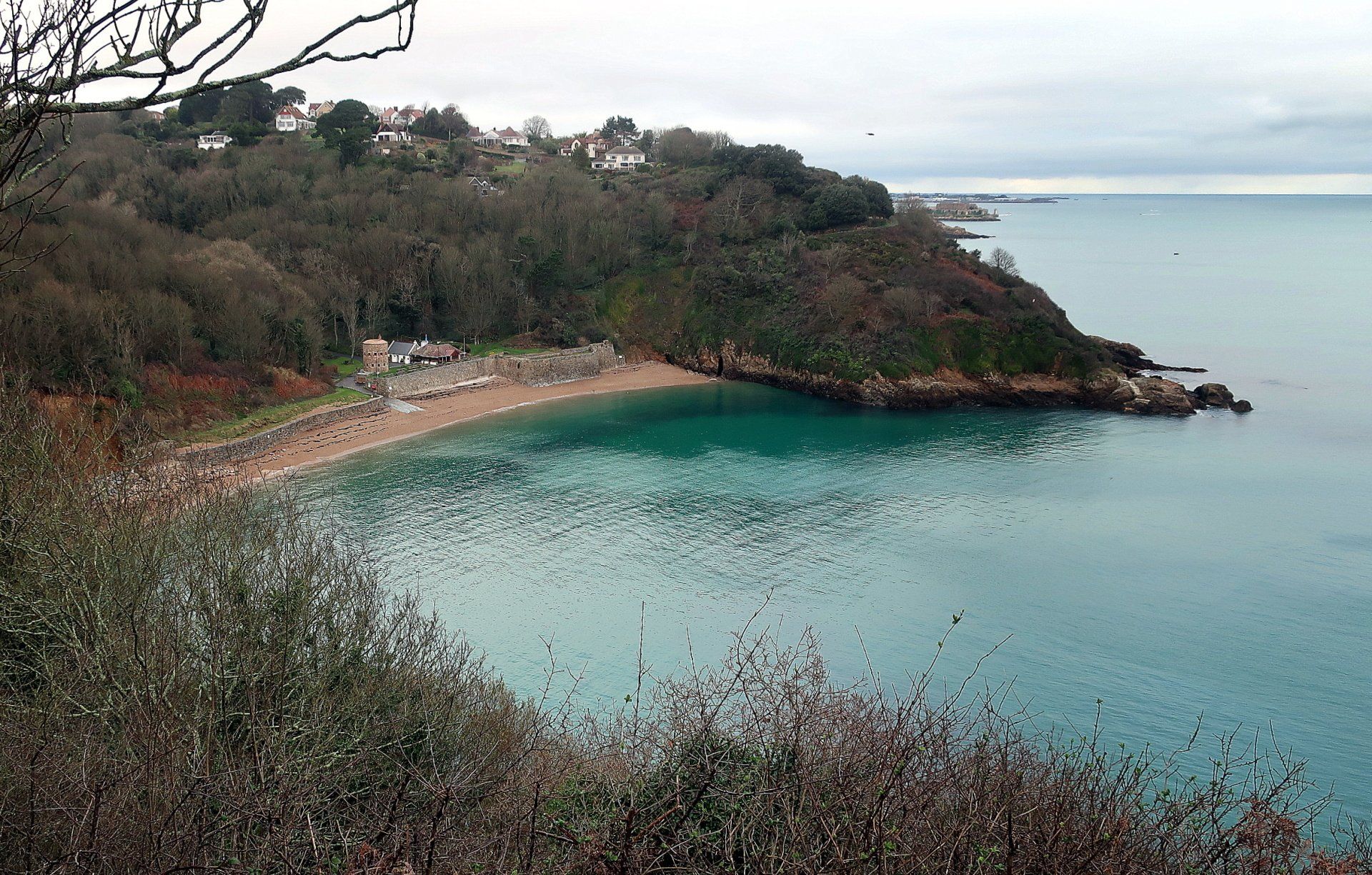
The first of these diversions comes after nearly a couple of miles, this to Jaonnet Bay. This is probably half mile round trip, ending in some steep steps and then a ladder to reach the bay itself. I came here for the first time a couple of months ago with the sun shining and the tide out showing a great beach of firm, clean sand, tucked in the cliffs. Not so today, as the tide is up so I don’t depart from the ladder, but still fun. Jaonnet Bay is known for a couple of things - it was the landing point of a British Commando raid in July 1940 (commemorated on a stone at Icart headland), also it is (allegedly) Guernsey's nudist beach!.
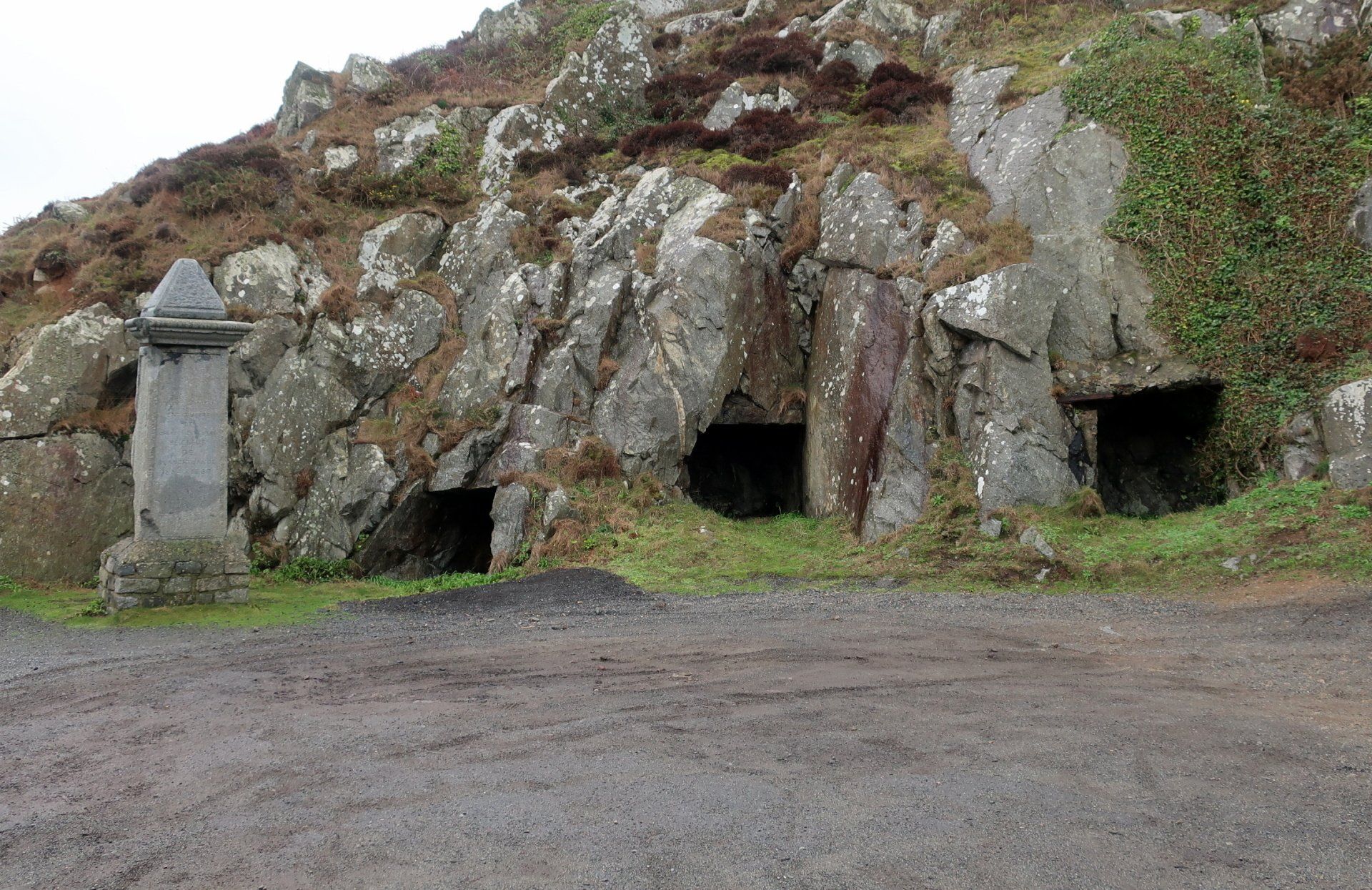
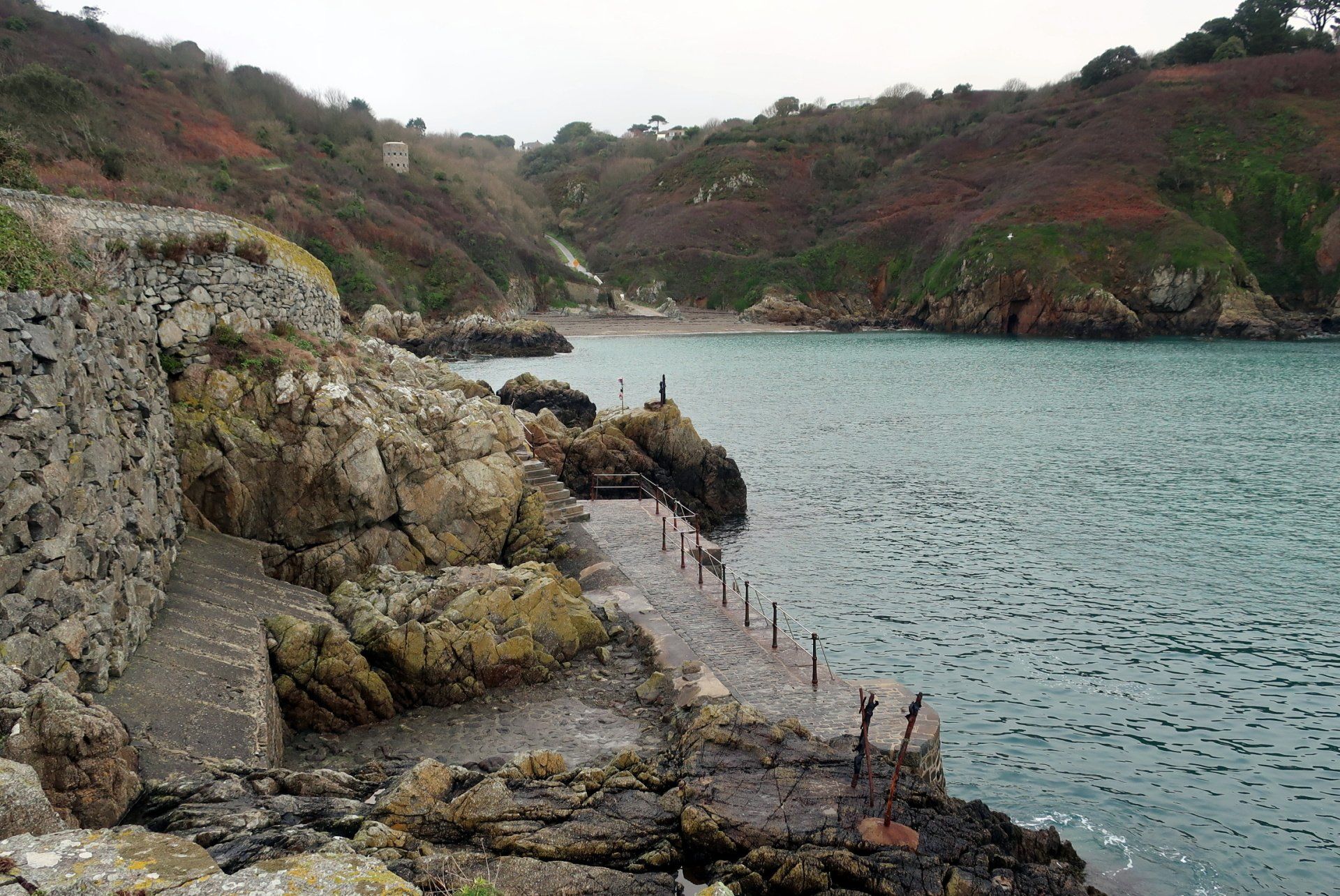
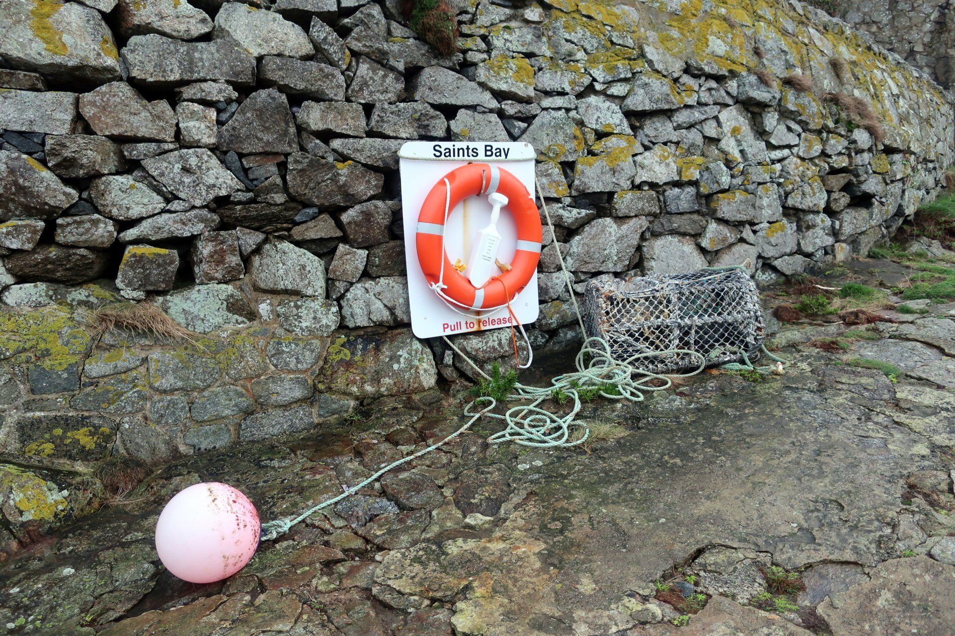
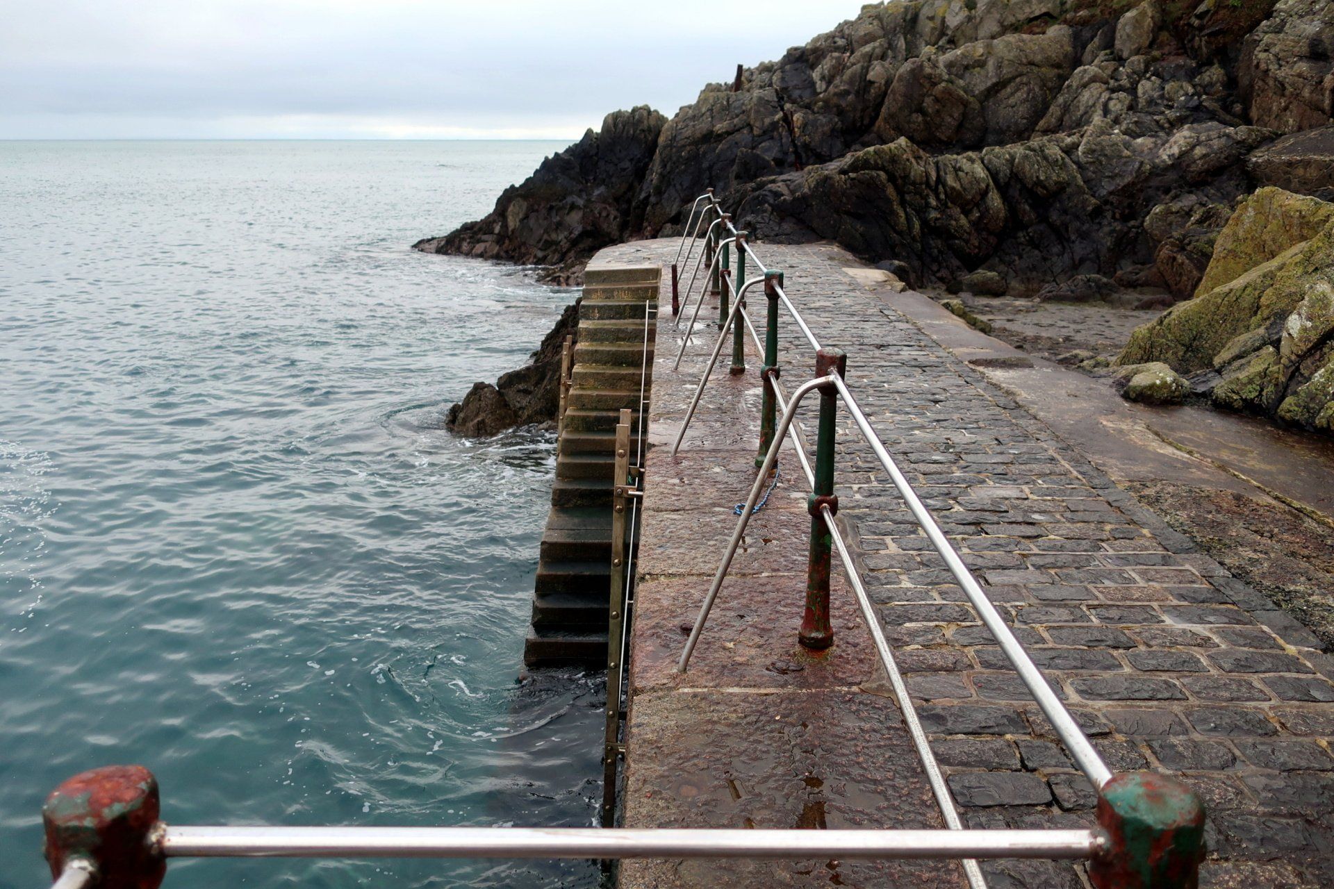
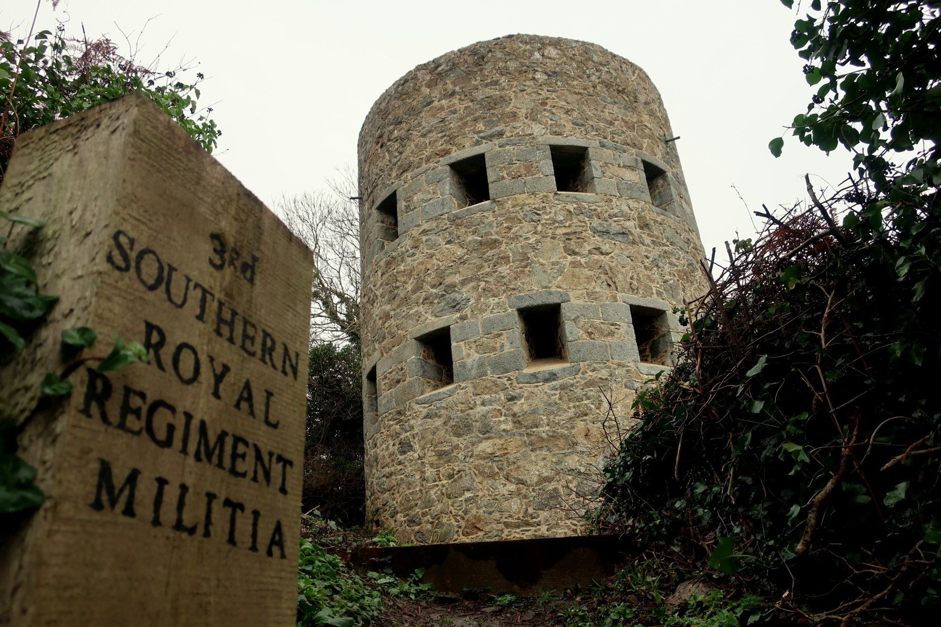
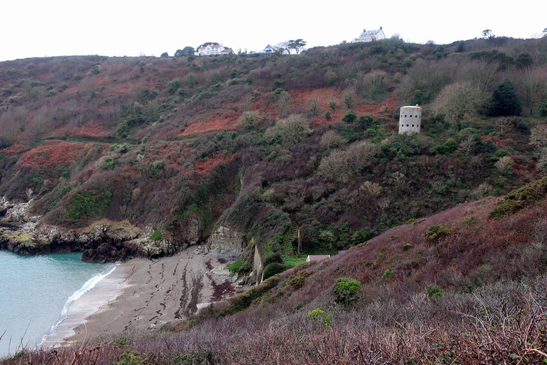
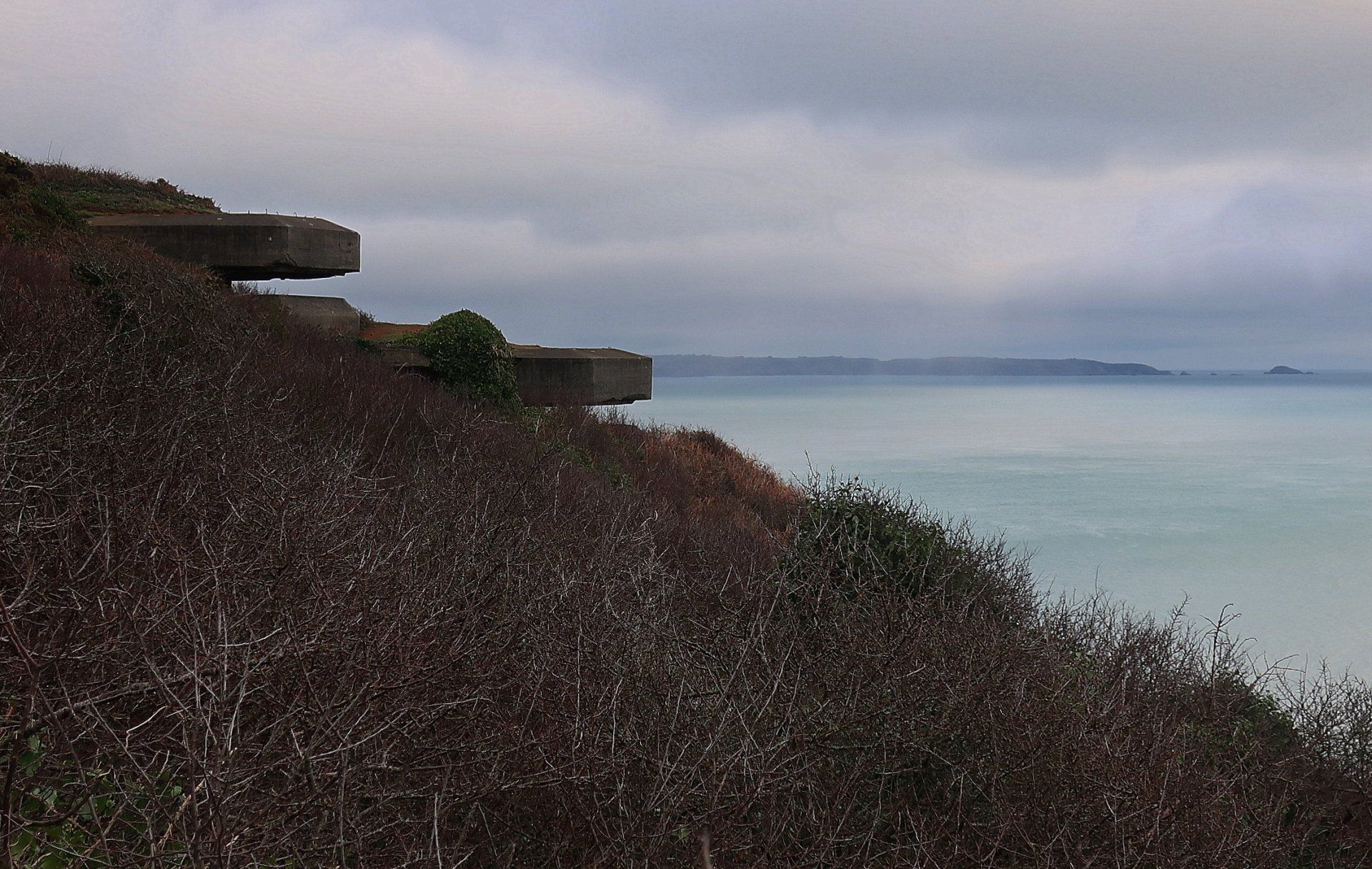
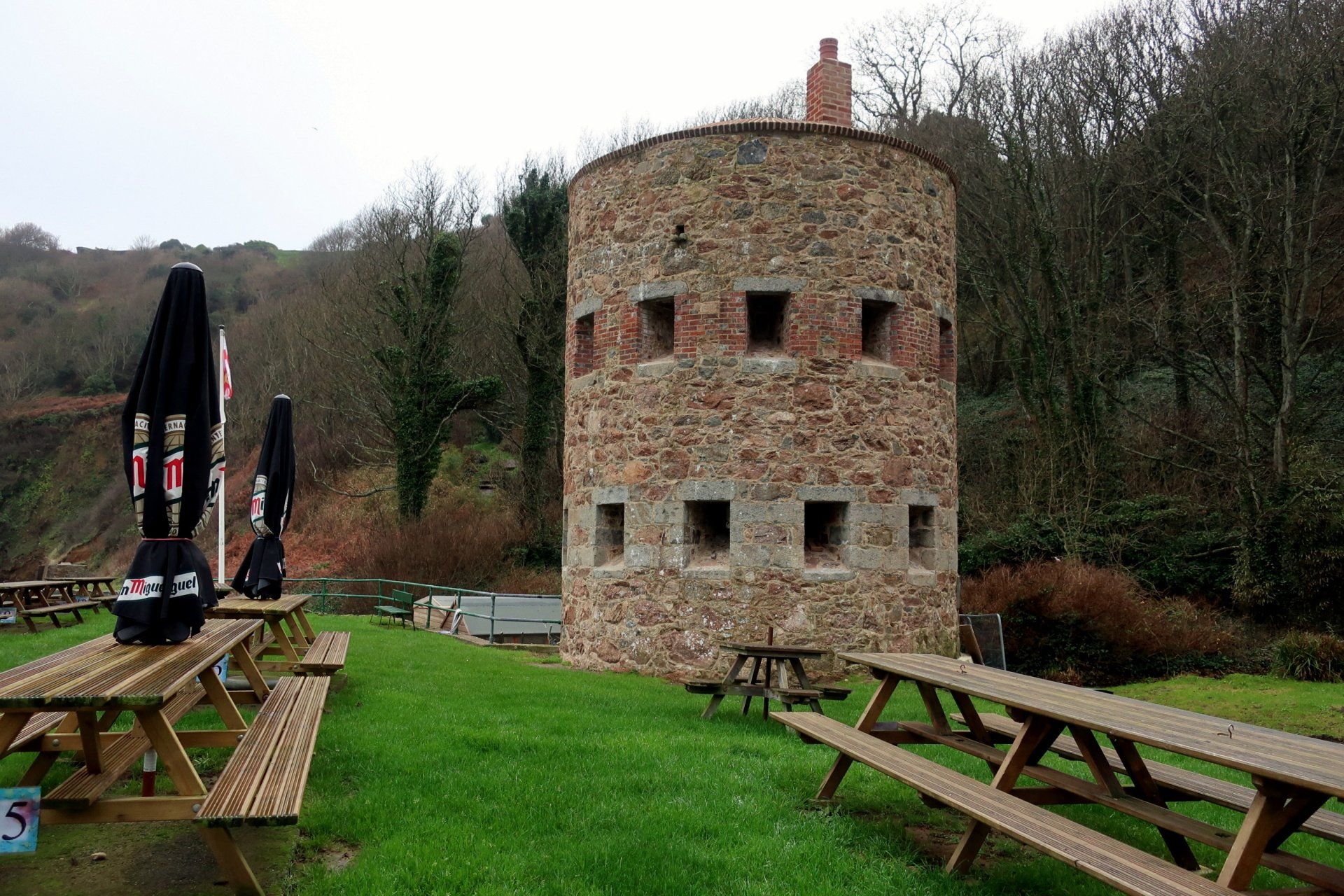
Back up, passing through Icart and then down a long, steep set of steps to Saints Bay, where I have a good mooch around the tiny moorings and then the loophole tower (No.14) along the road.
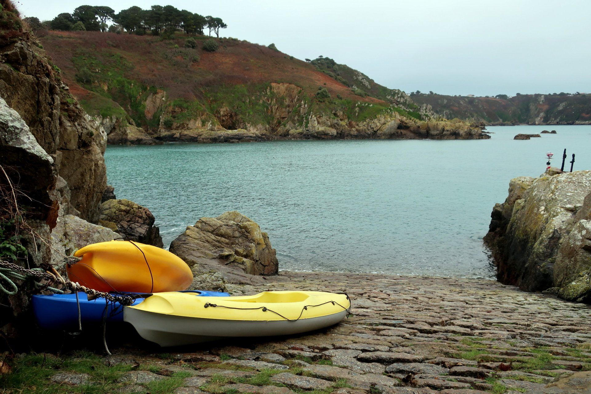
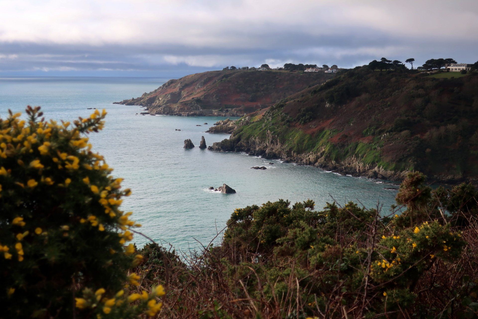
The next port of call is Moulin Huet, famous for paintings by Renoir whilst visiting the Island in 1883. Down on the small beach some swimmers are departing for what looks like some serous level open-water swimming. In general I have seen more people in these parts, it seems a few are now out for a bit of a walk and fresh air, despite the weather.
This seems to be perking up a bit, the sun even trying to peak through the clouds, but it is short lived and the drizzle soon comes again. One affect of this is the walking surface is very slippery and I have to take care with some of the slopes and steps as they are greasy in parts.
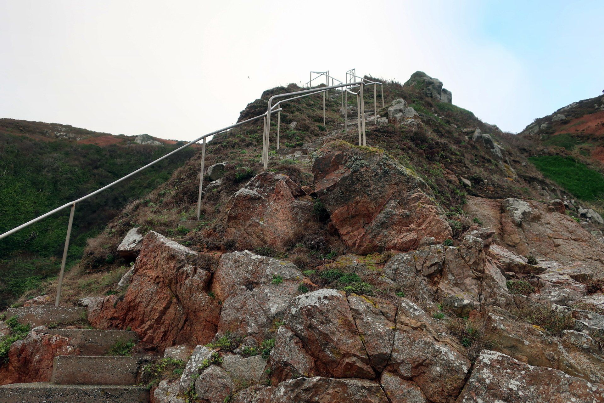
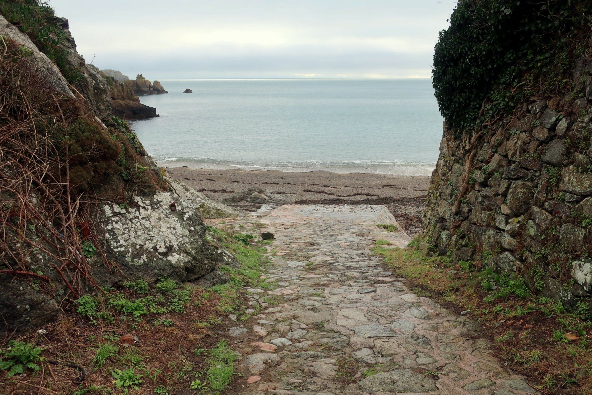
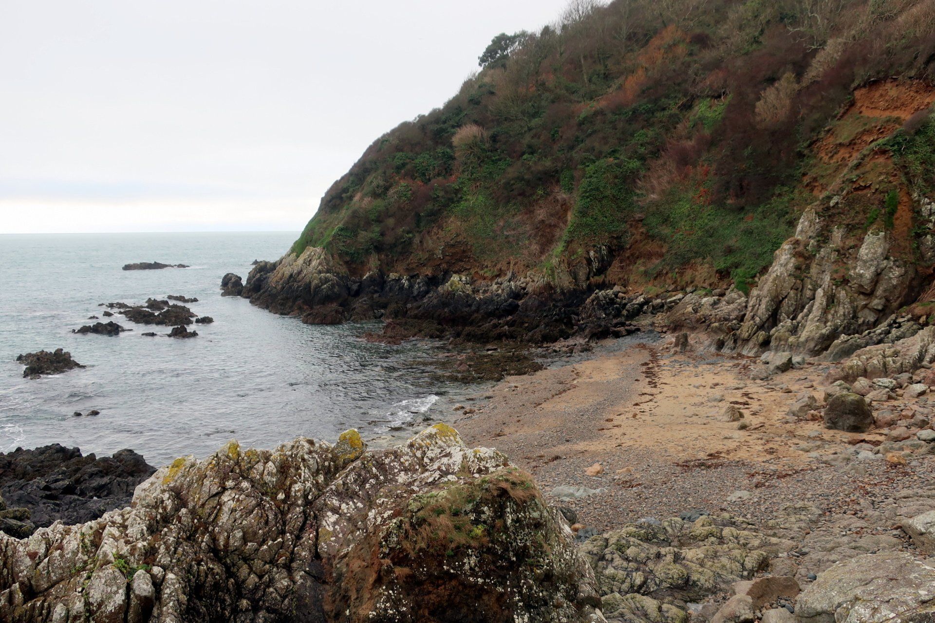
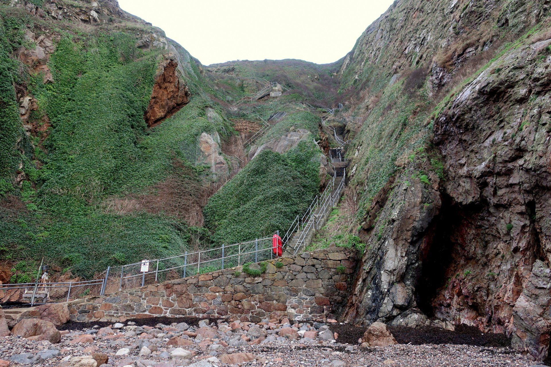
The next bay is Petit Port, another superb sandy beach when the tide is low, but covered today. To reach the bay there is a set of steep steps, around 250. It seems a bit pointless to go all the way down when there is really nothing to see, but that is the plan, so that is what I do…masochist!
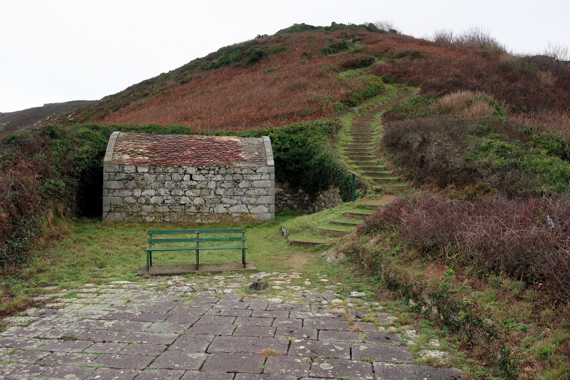
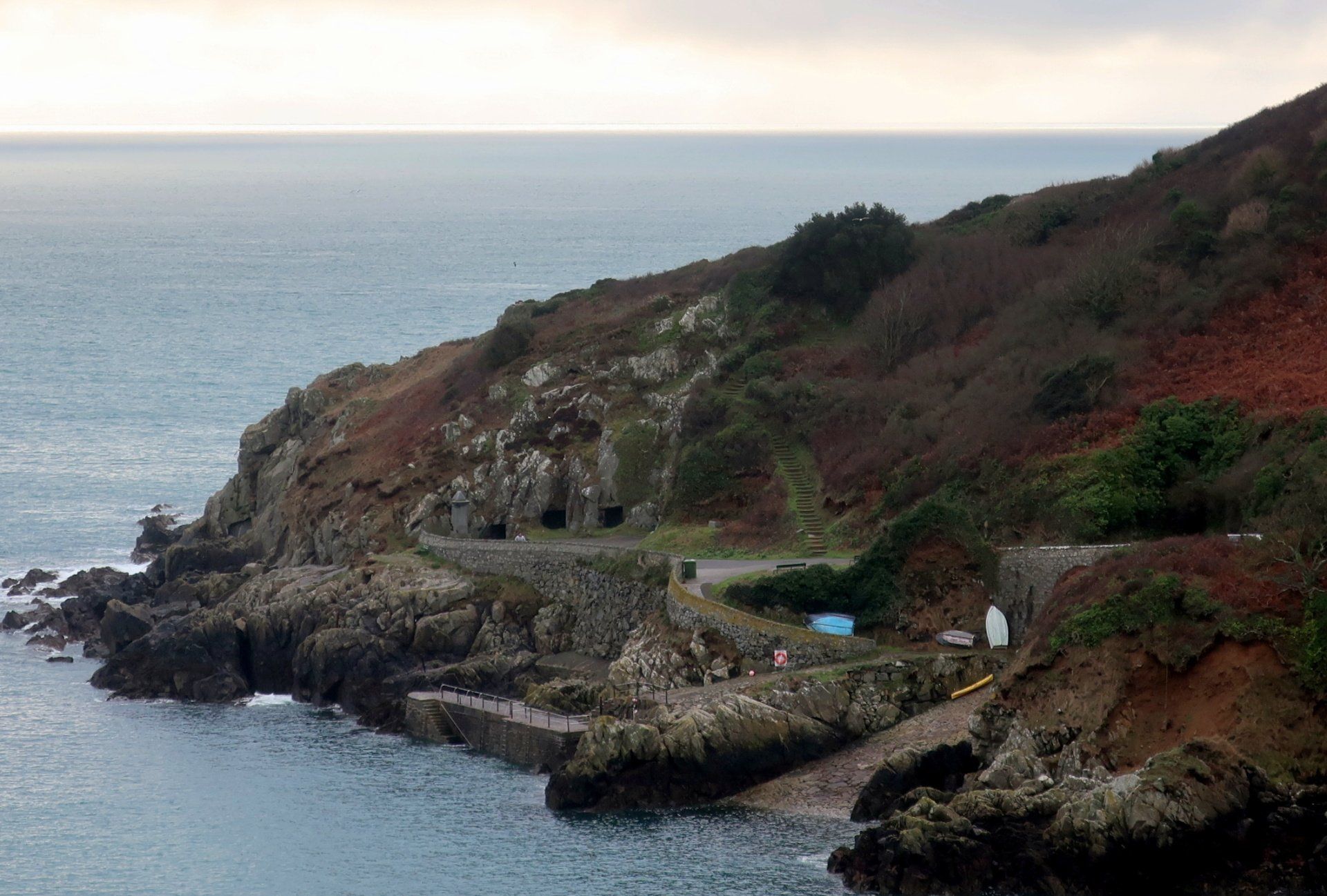
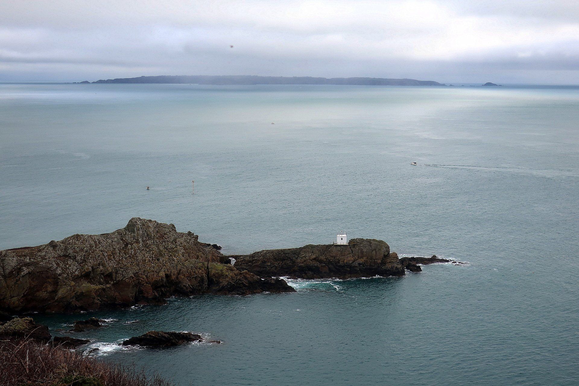
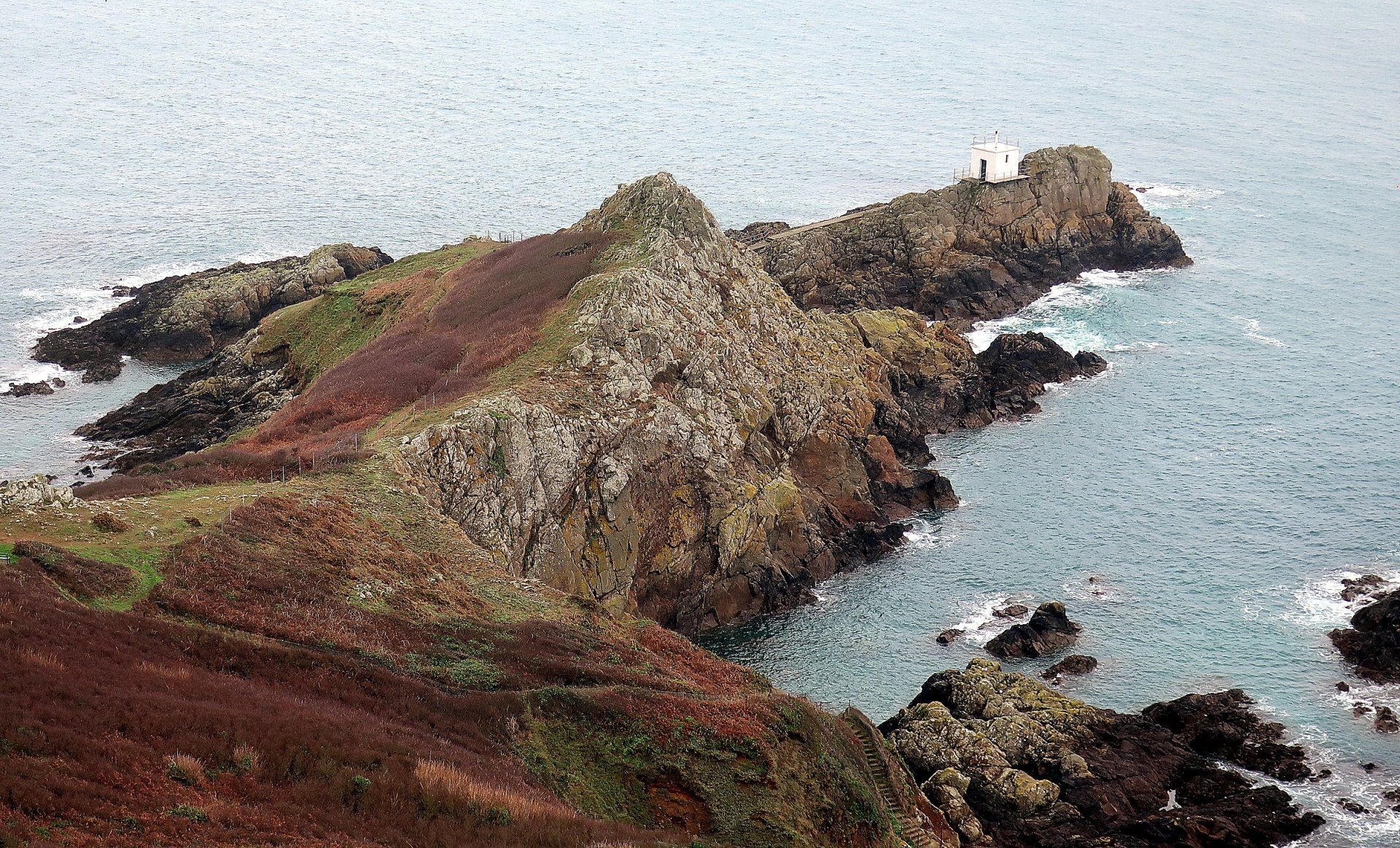
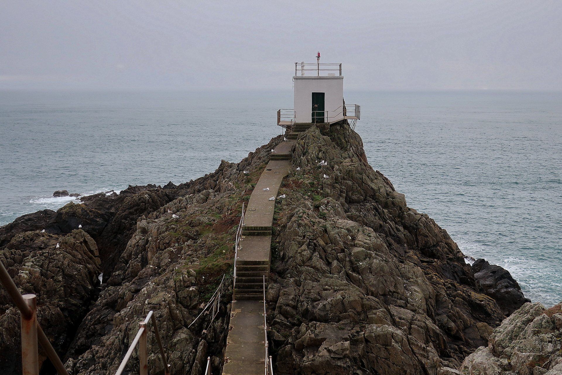
Returning, I huff and puff around the headland to Jerbourg and then down more steps, detouring briefly to visit a little white building perched at the are end of the headland – home to one of the Islands fog horns – thankfully not operating today, otherwise I would need my earplugs!.
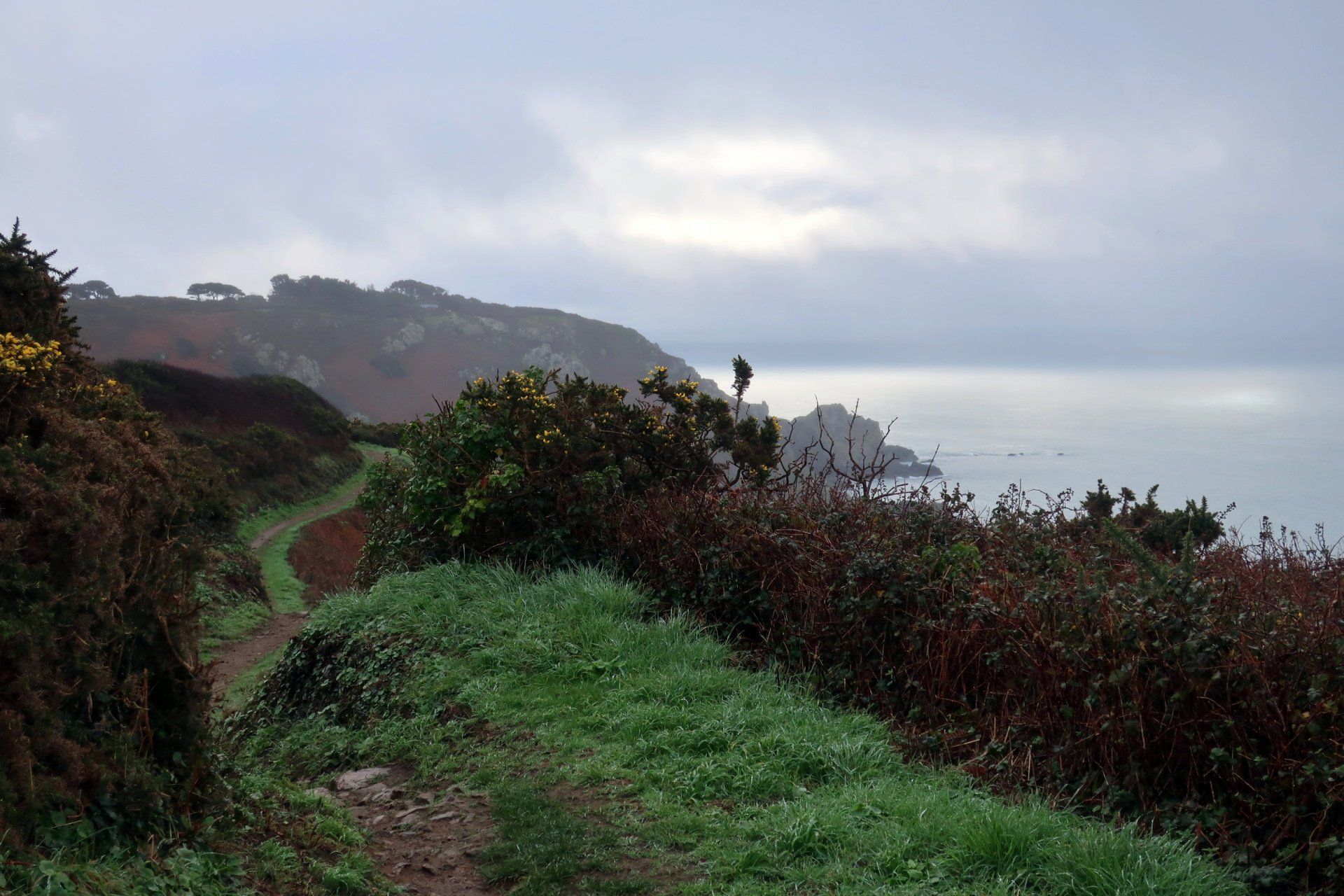
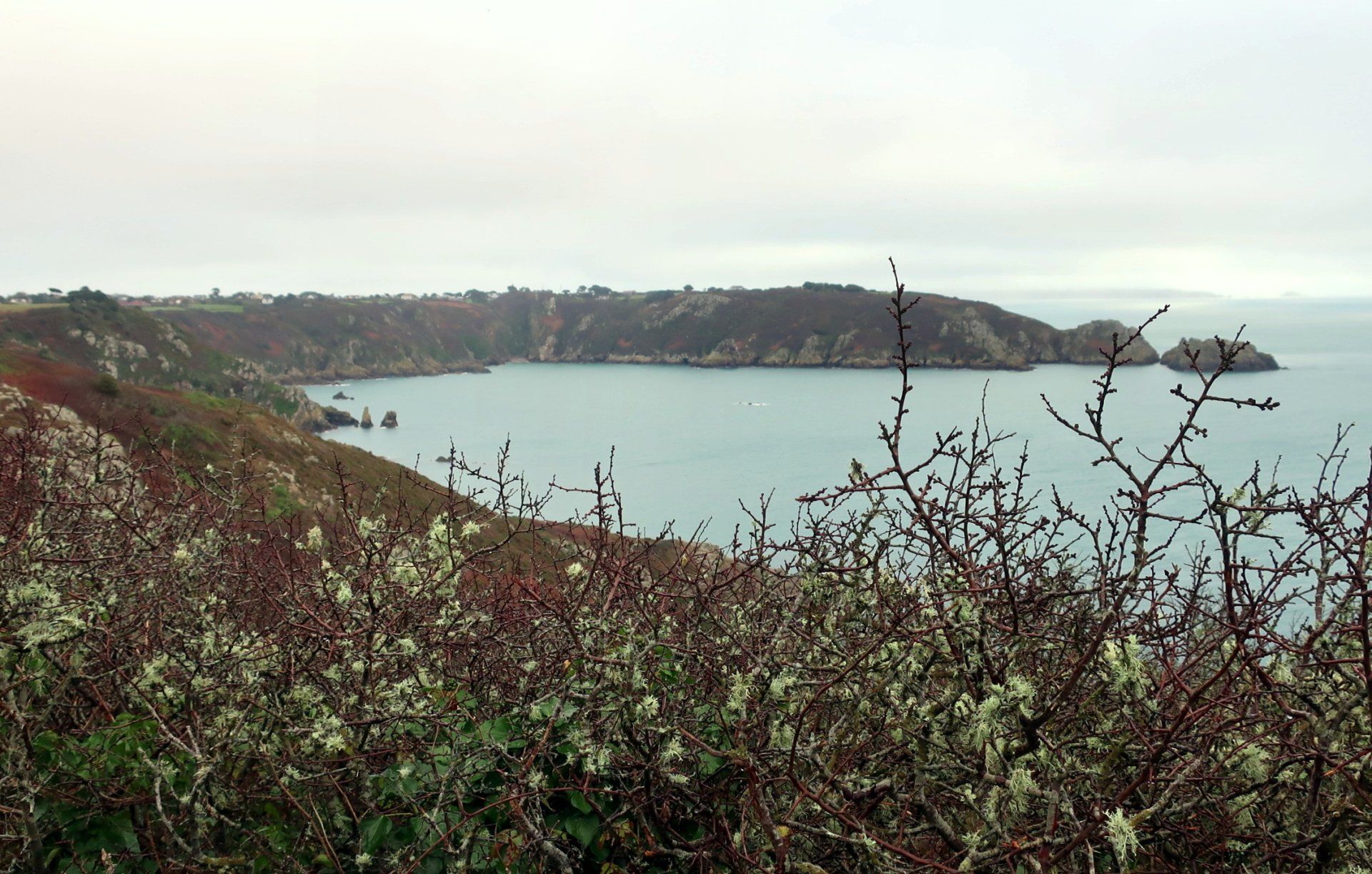
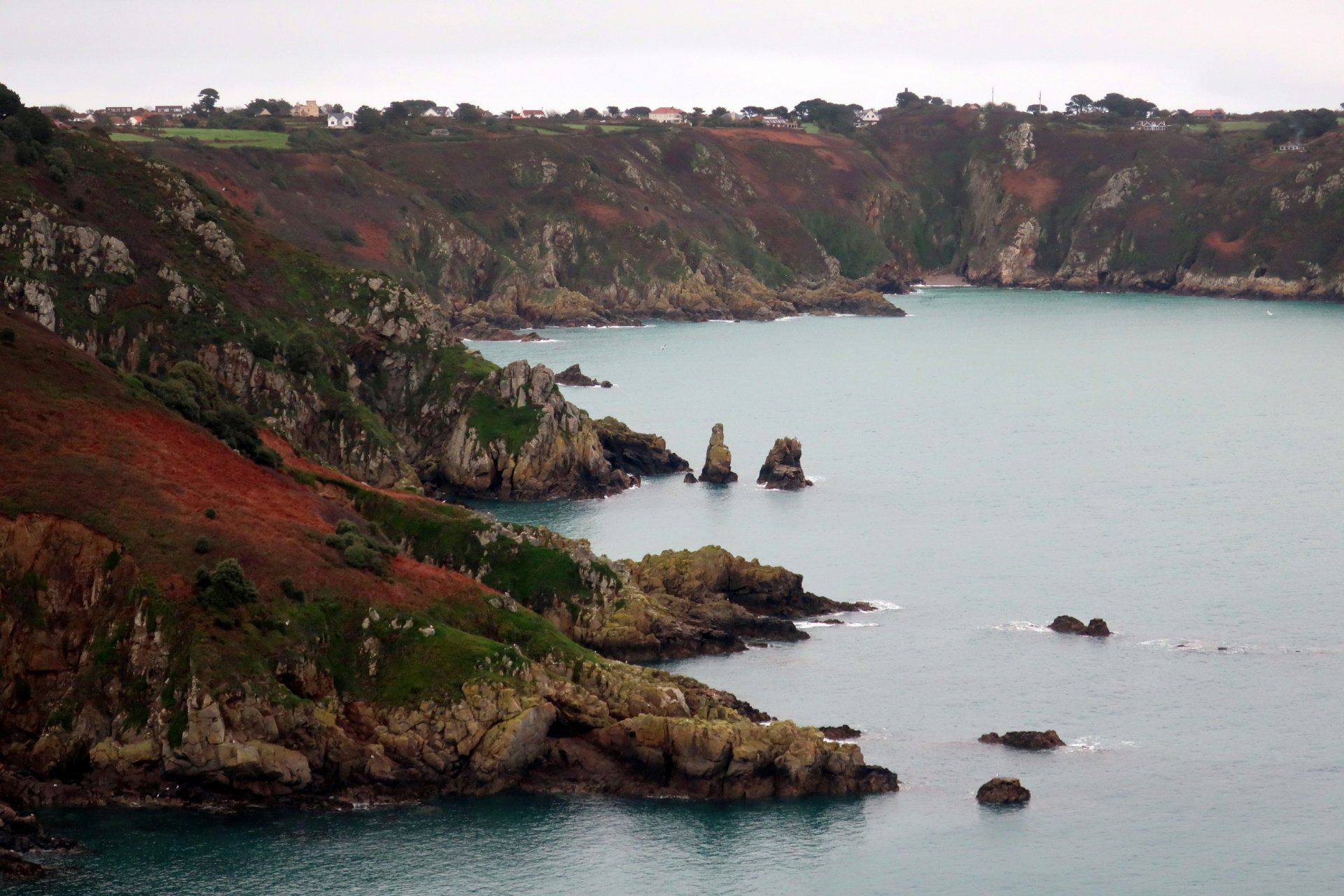
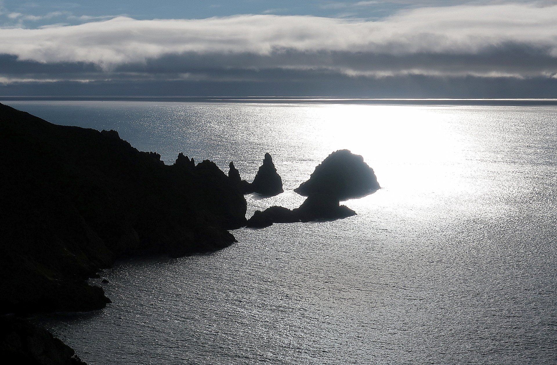
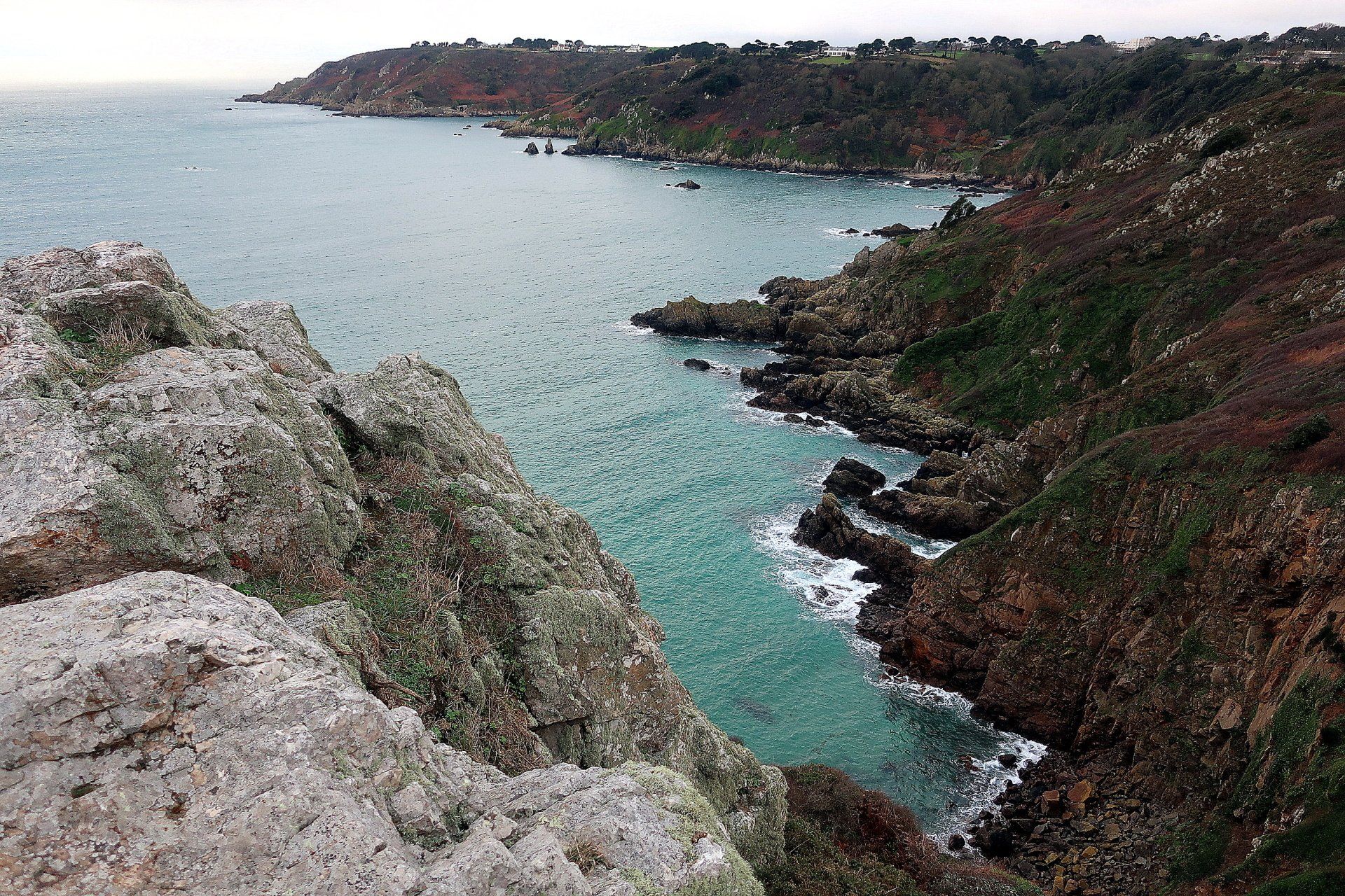
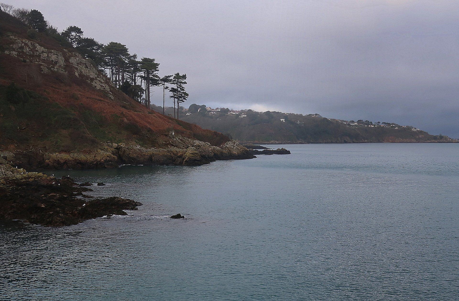
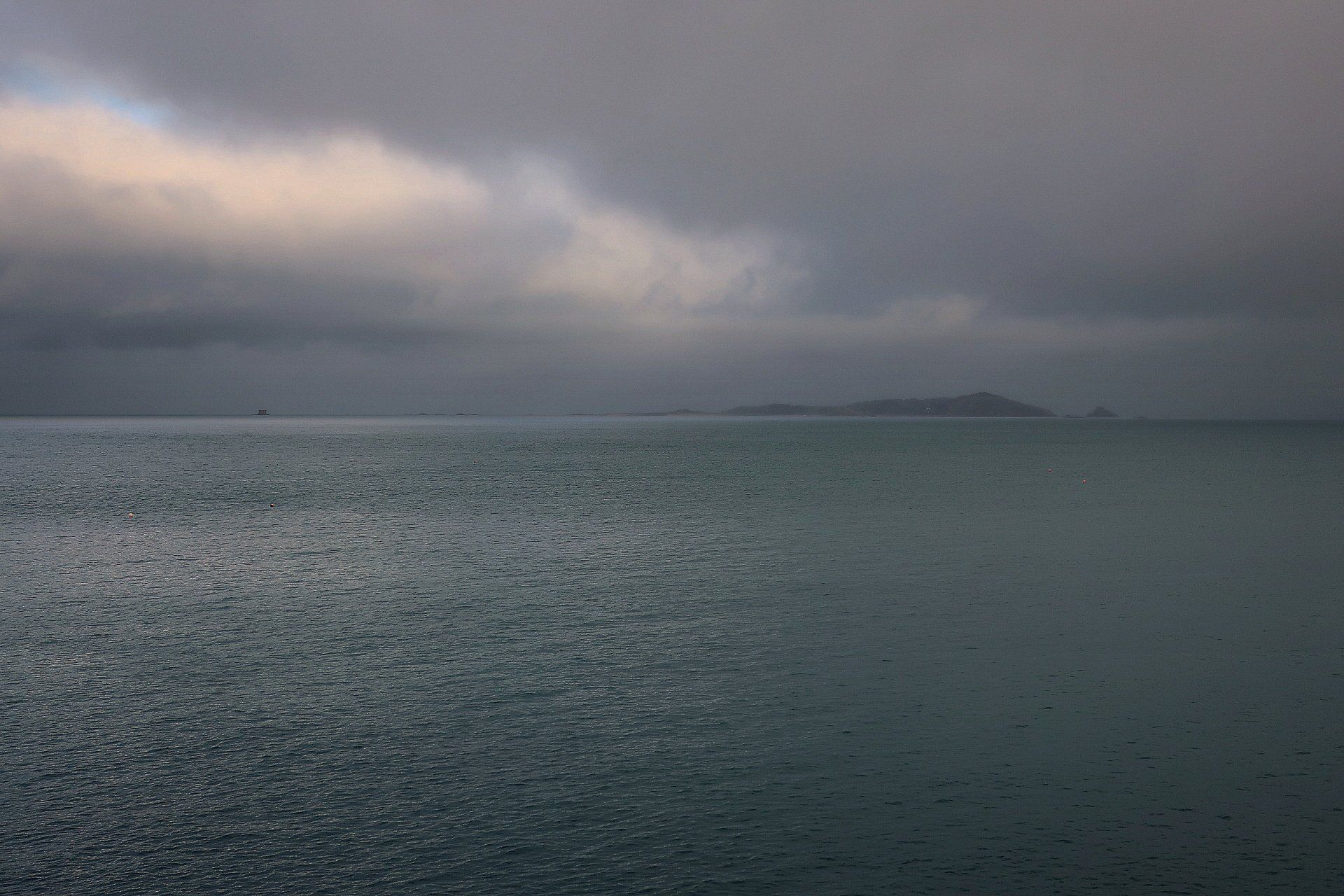
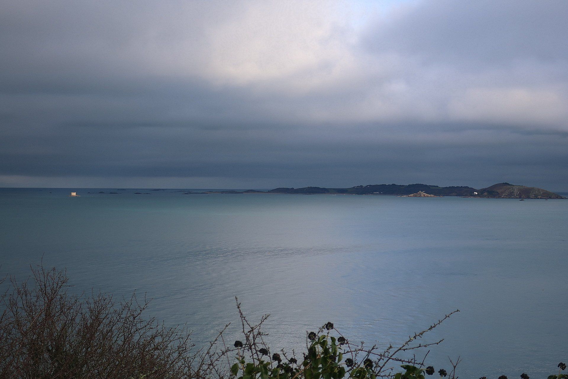
From here I can spy the outlying Islands of Sark and Herm, but mostly they are shrouded and sometimes completely lost to the grey and mist, just occasionally popping out to say hello.
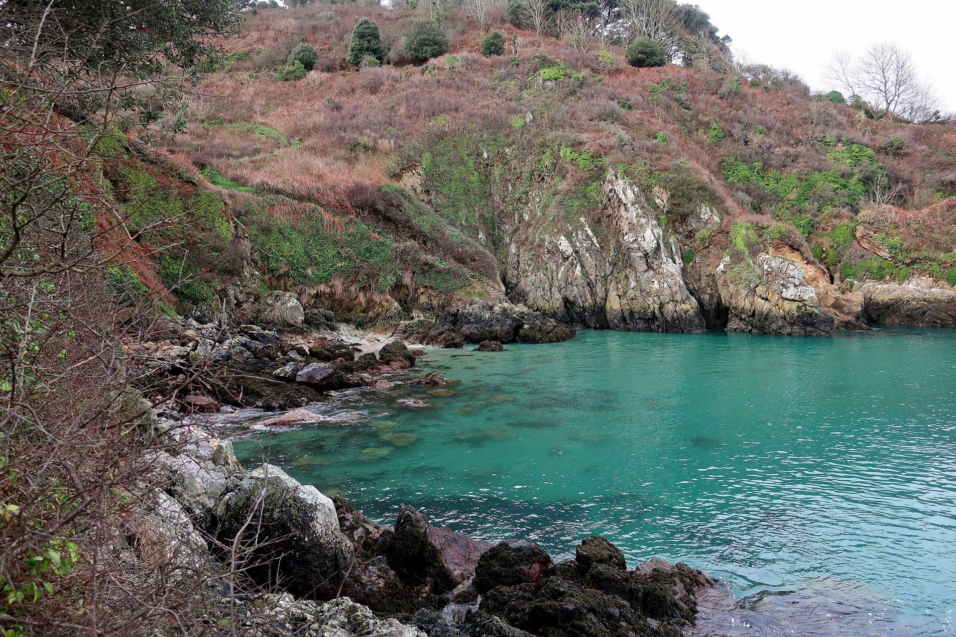
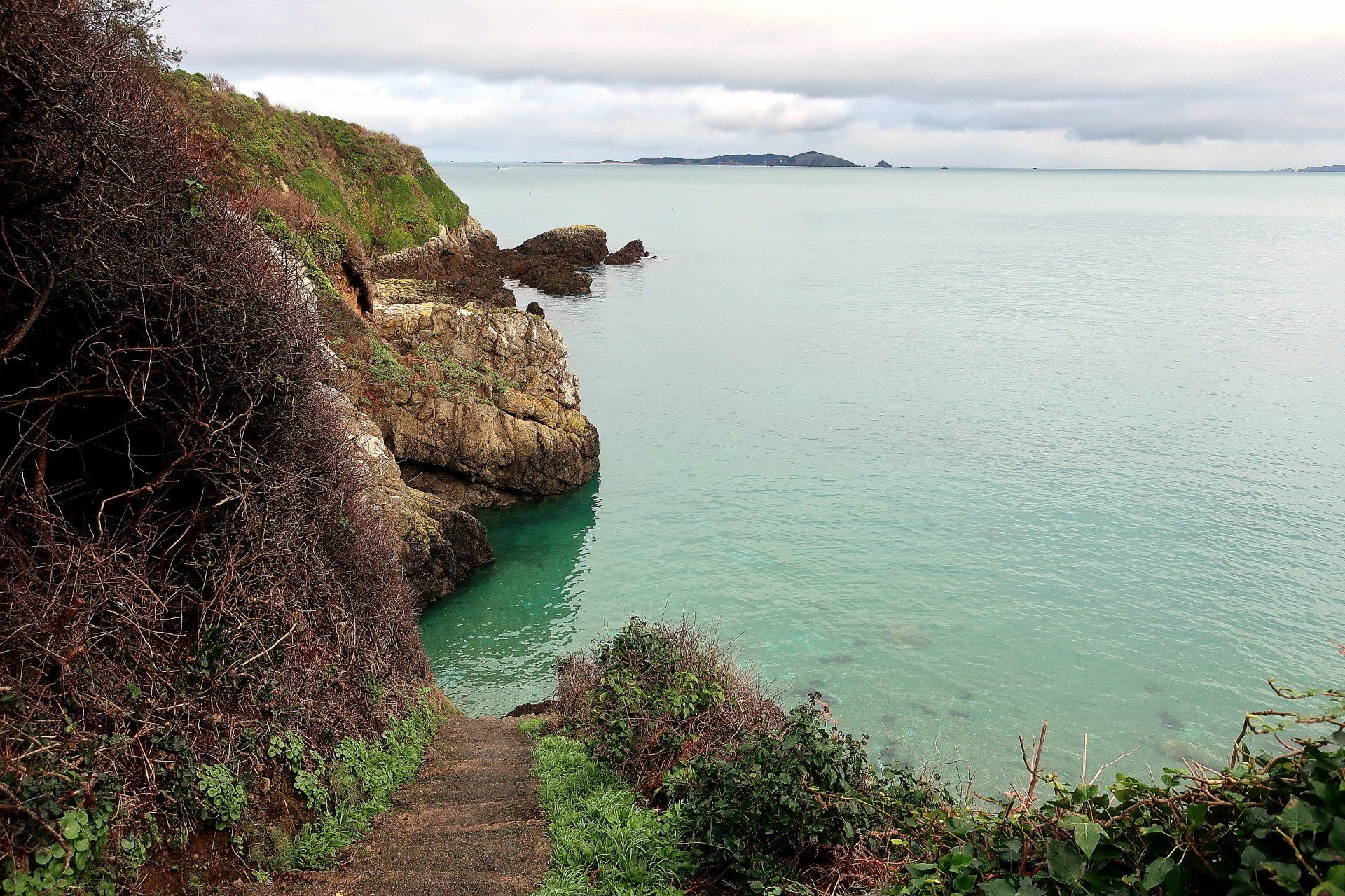
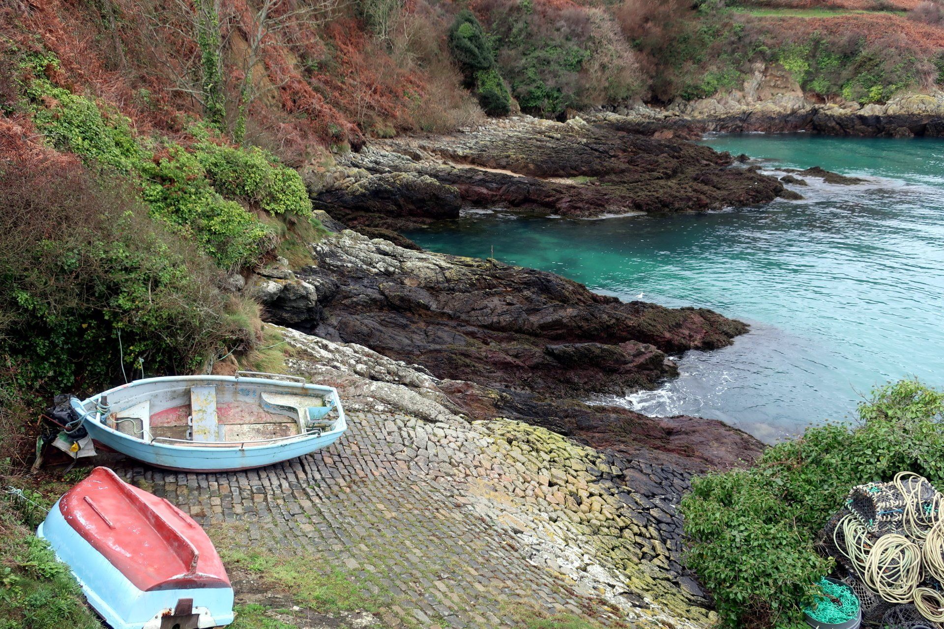
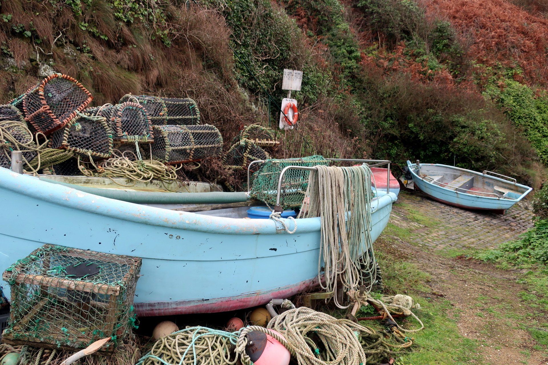
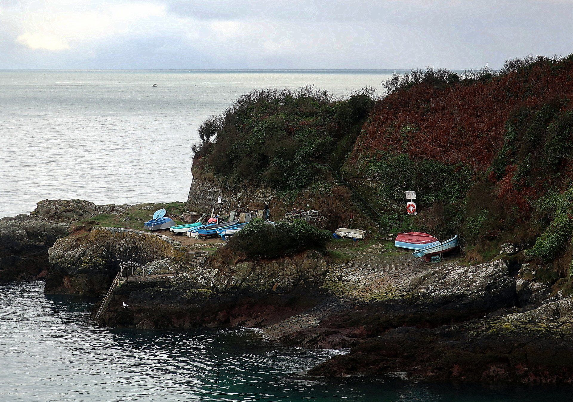
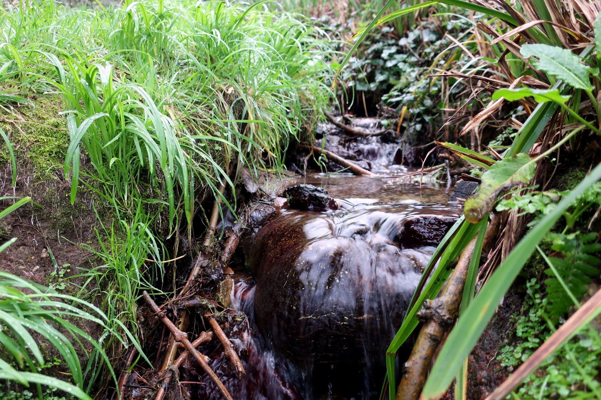
The next stretch has another couple of small bays which require diversion from the main track – Marble Bay and Bec du Nez, the latter a small fishing mooring. Both fit the scene so well, these small, tucked away spots adding to the sense of exploration.
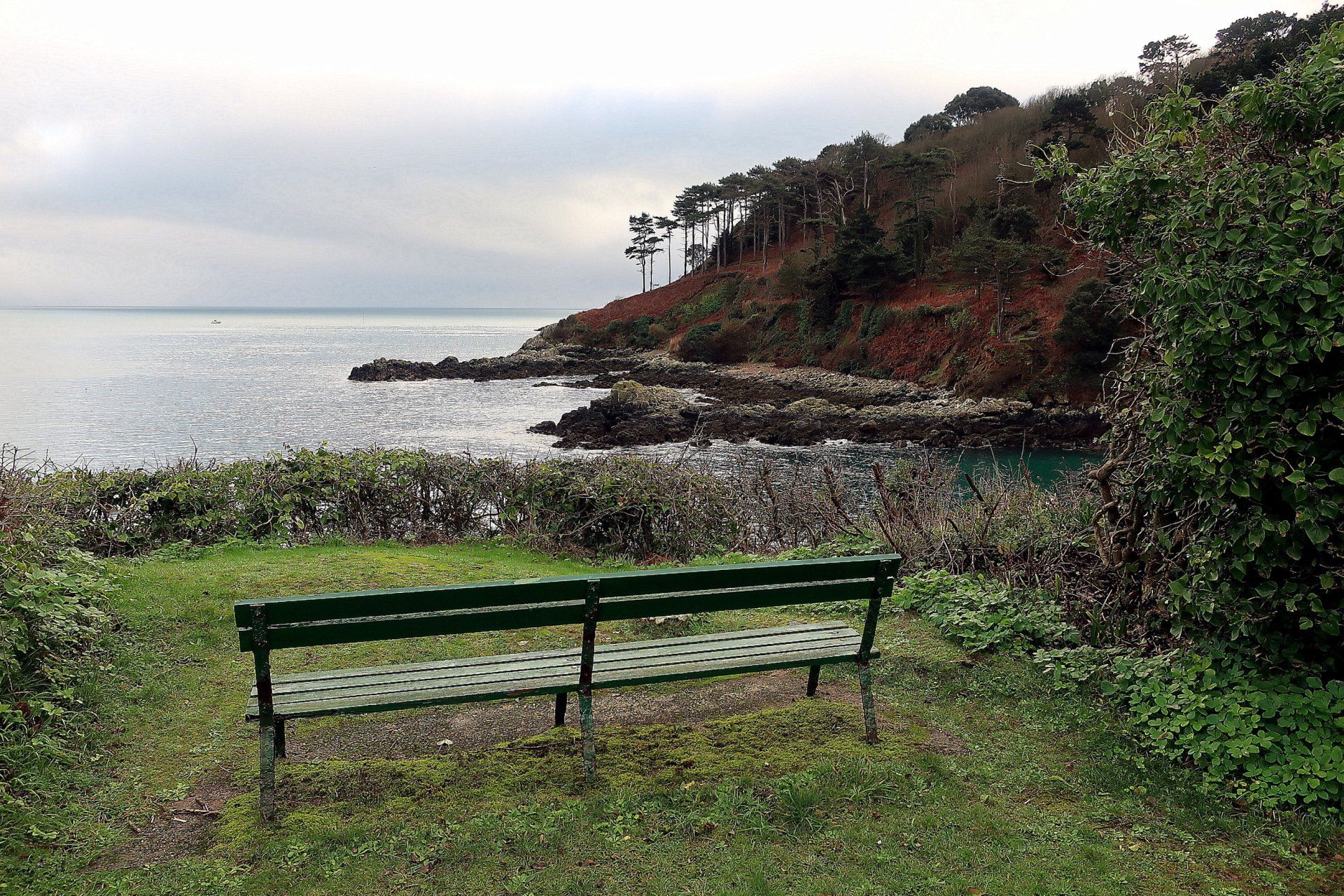
Fermain Bay is the last main beach, this a location for a popular café in the warmer months but closed now and the beach is all quiet, the water just gently lapping on to the shingle. It is also home to another loophole tower (No.15 – the “Pepper Pot”) currently being renovated as holiday accommodation.
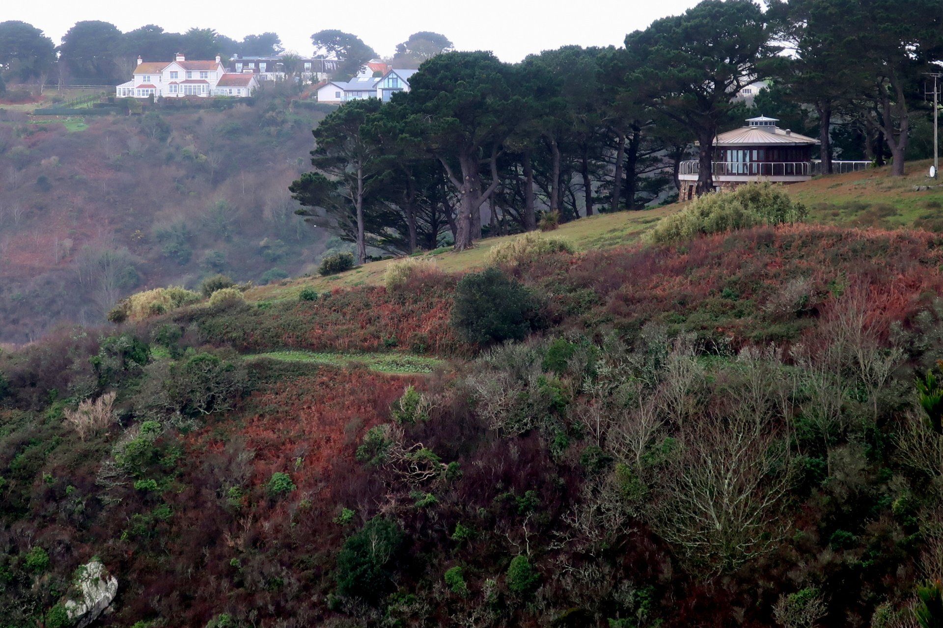
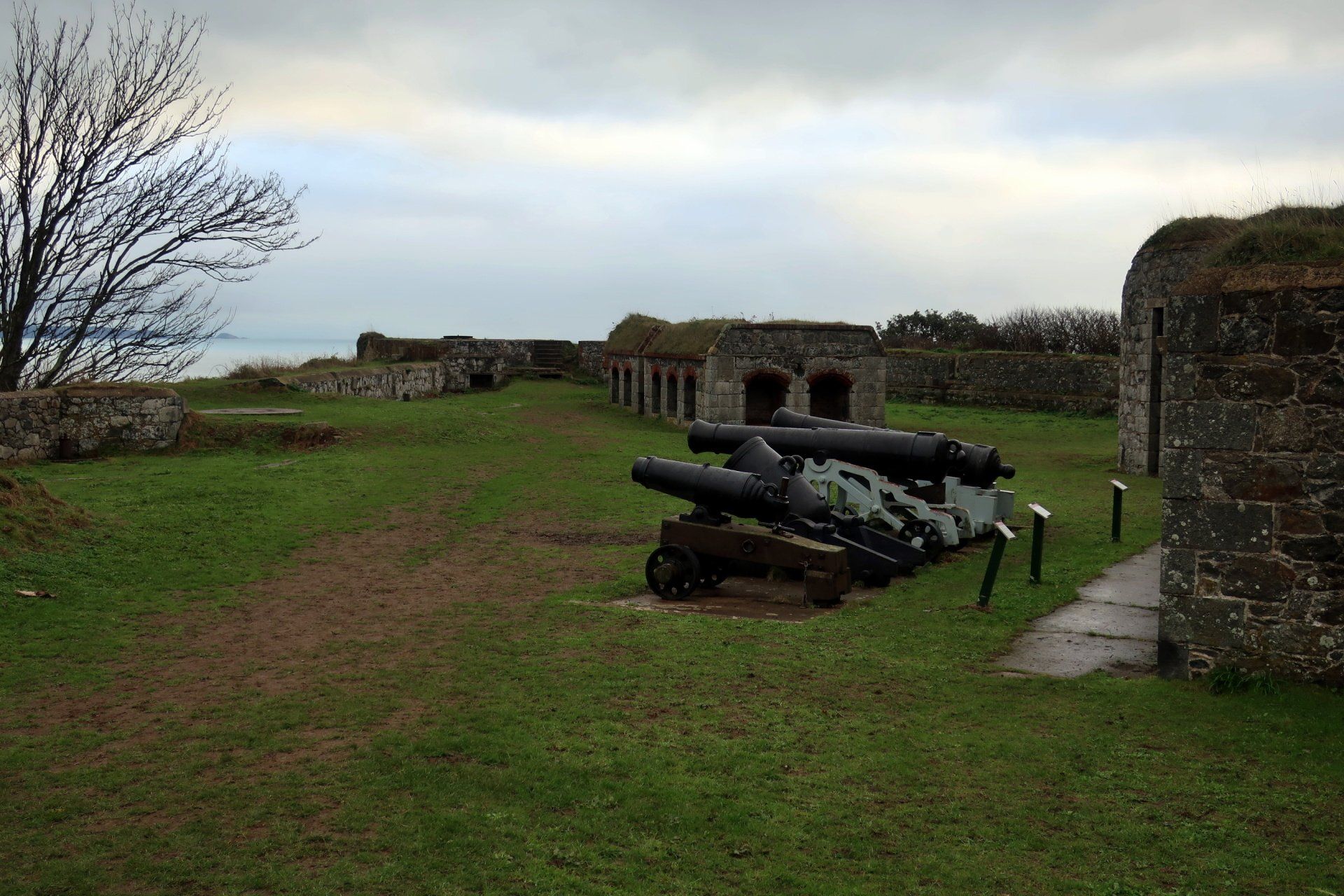
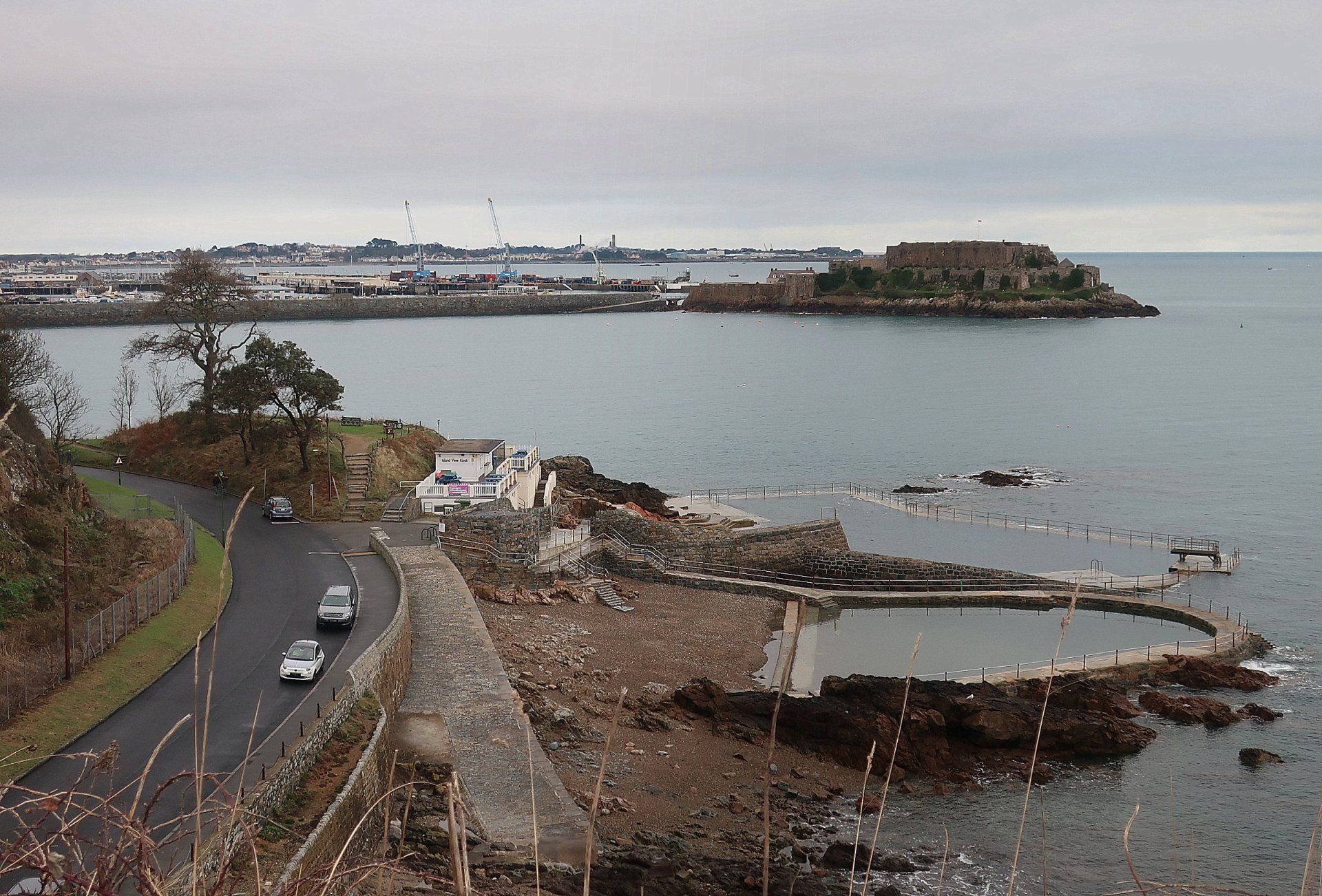
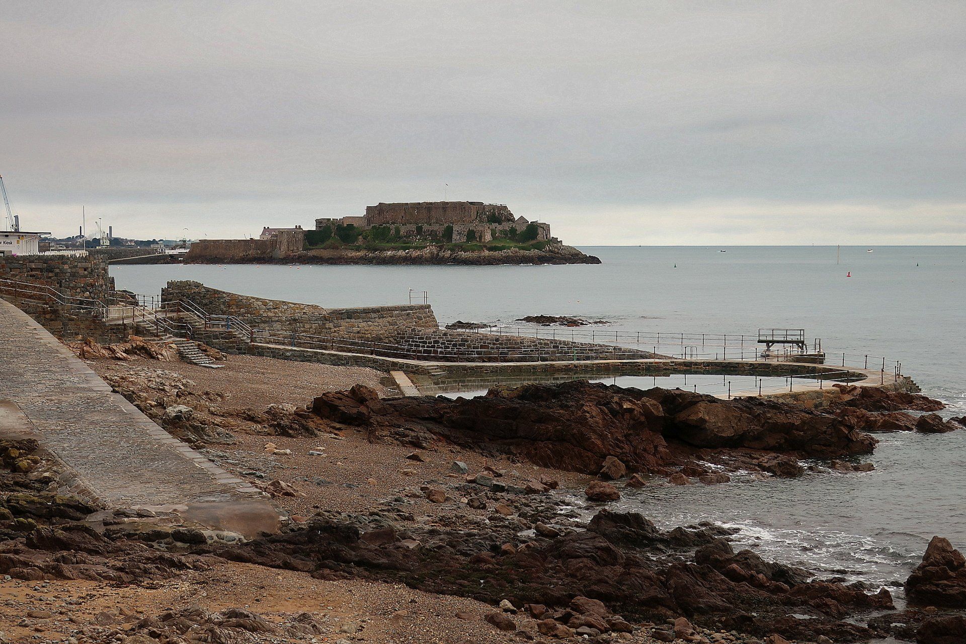
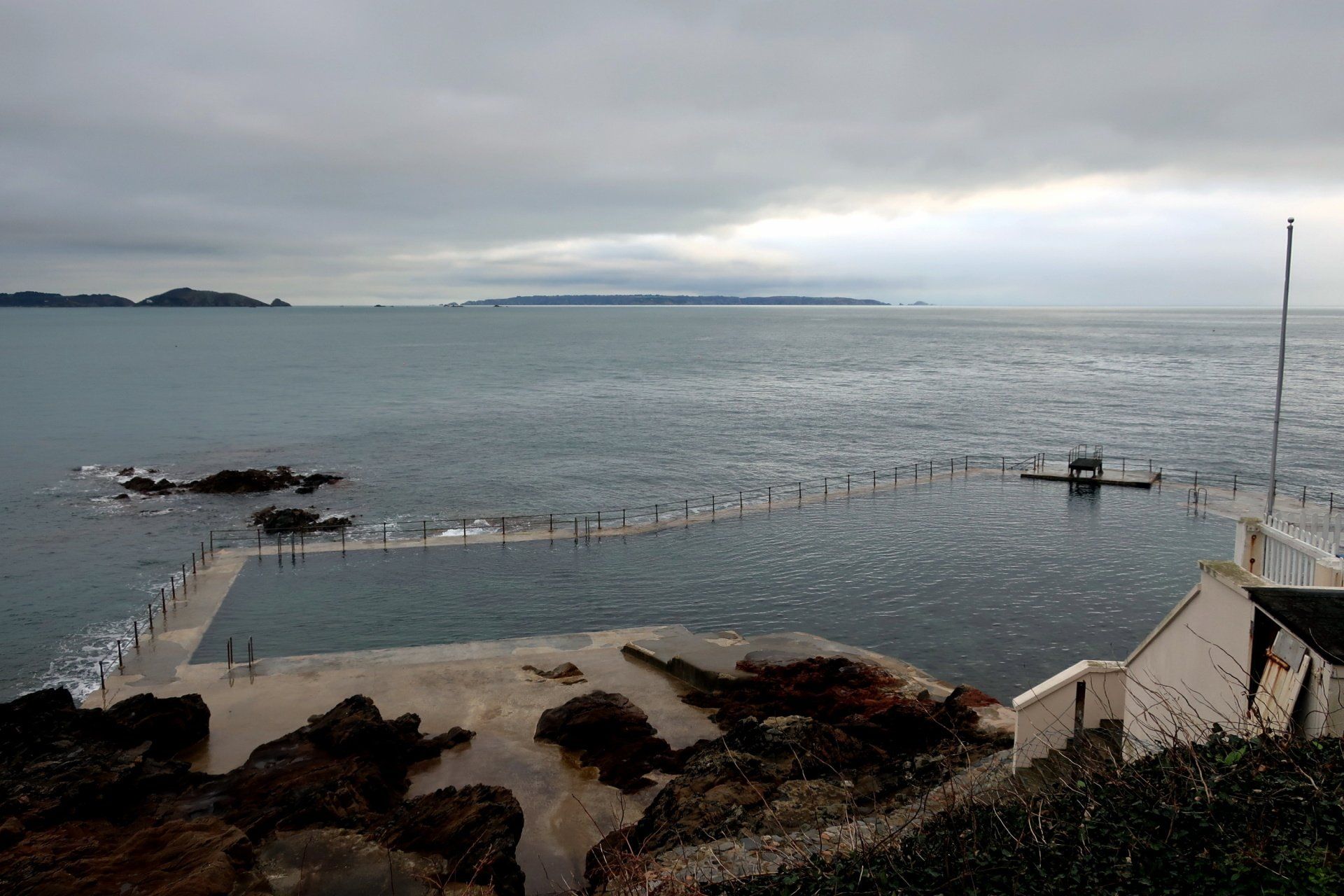
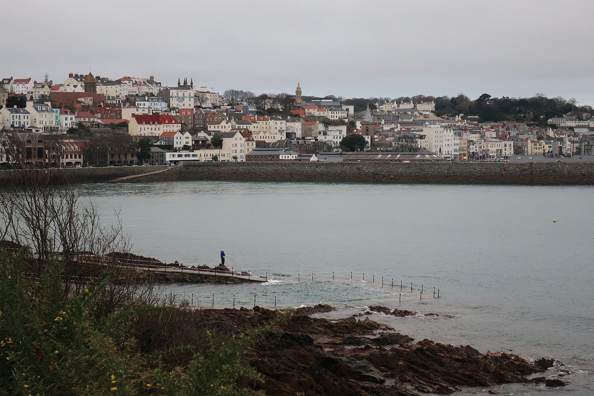
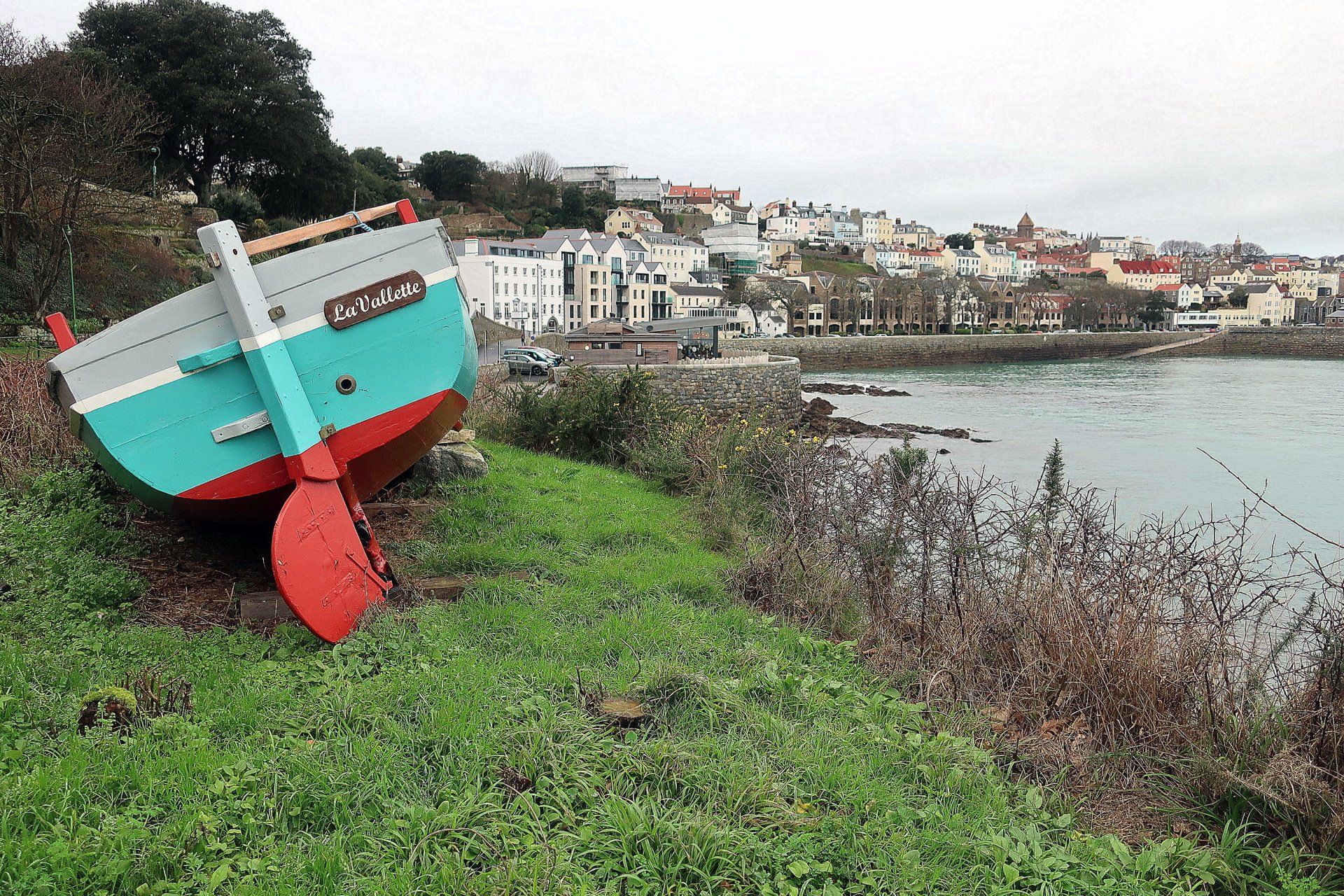
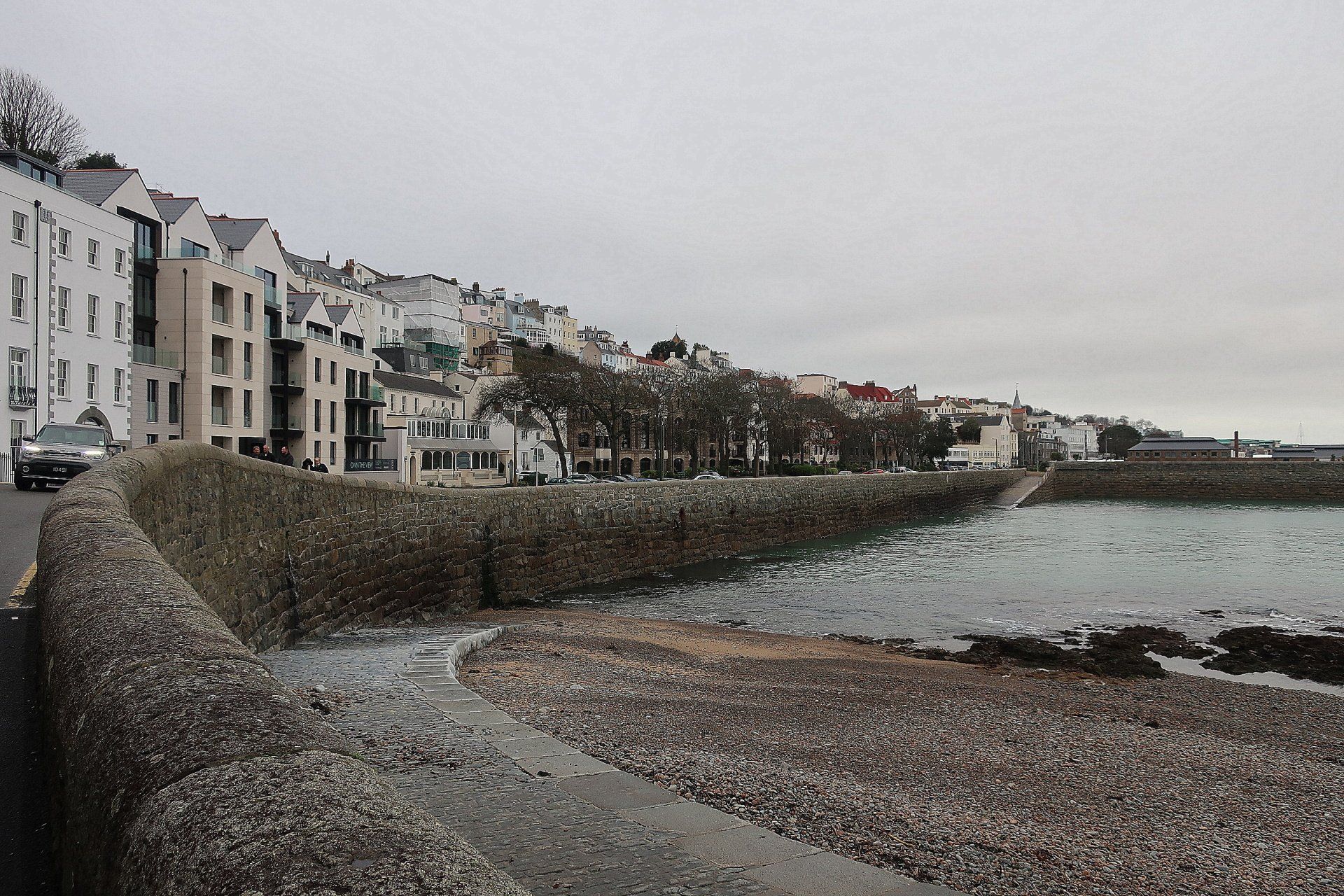
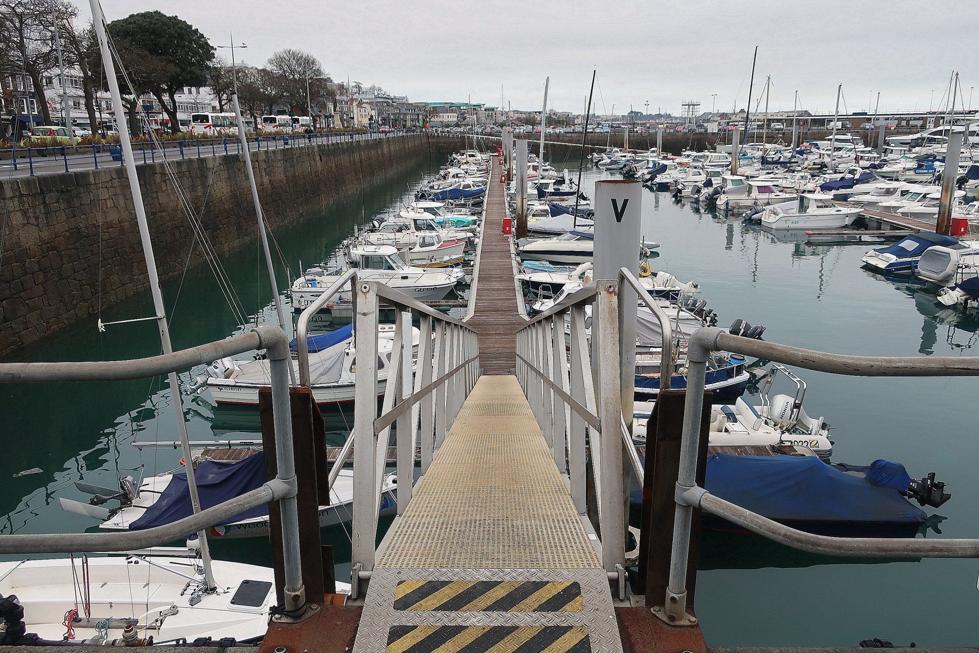
A final effort sees me come to the end of the cliffs, with the last high point at the Clarence Battery fortification, offering views over La Valette and the rather wonderful Victorian bathing pools. I walk past the various pools, along a road now and this leads into Town proper, although I follow the sea wall and the marina to maintain the coastal theme.
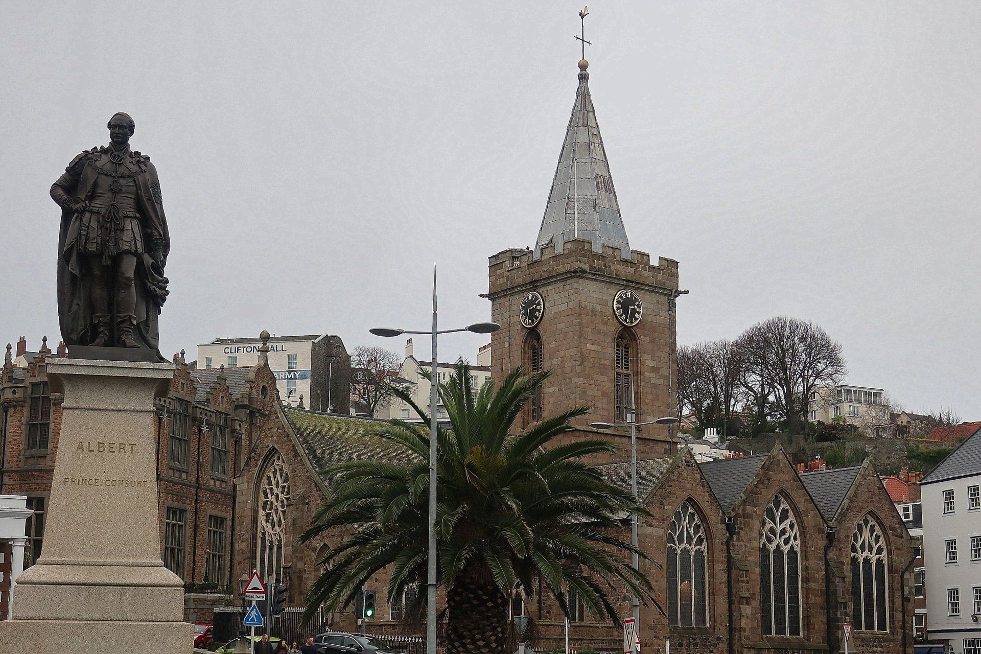
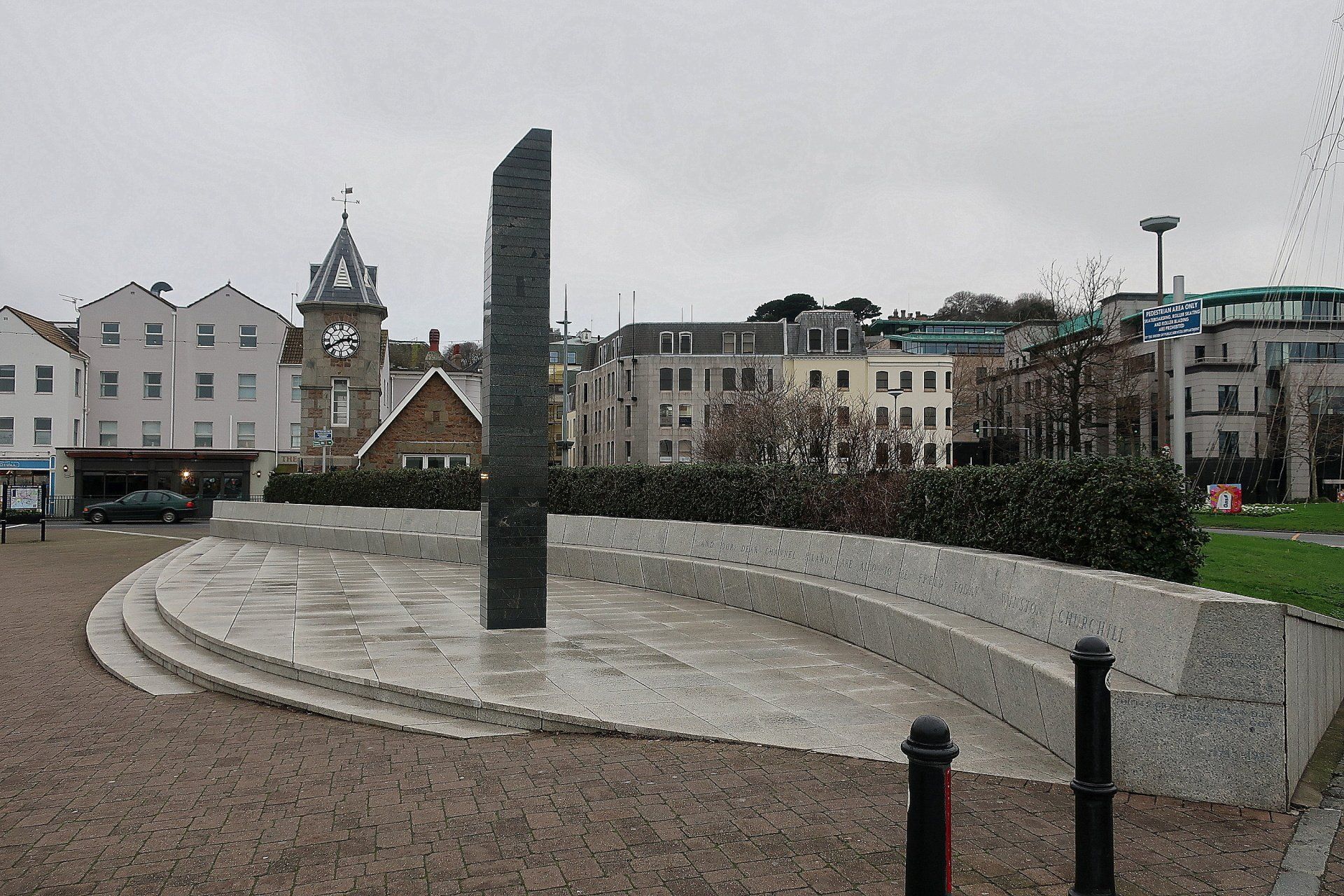
Soon enough I reach the Liberation Monument, recalling that when I departed from here in January it was also grey, with drizzle!. I have come full circle, in more ways than just the route.
A shame about the weather today. It is amazing how the different weather and the state of the tide can make such a difference to the scenery. Today it was not at its best but that is the nature of things and such change is in reality a wonderful thing.
And, how can you not love our cliffs, whatever the conditions. Still a glorious walk, albeit a challenging one today with a lot of up and down due to visiting all the bays along the way – the elevation graph is a pretty picture! But, as ever, every step is worth it.
In time I will absorb the CI way as a whole and reflect, but for today I leave tired, satisfied and with a happy heart.
Stats: 10.4 miles, 4hrs 25 mins moving, 5hrs 1 min total, Average moving 2.4 mph, 2892 ft Ascent