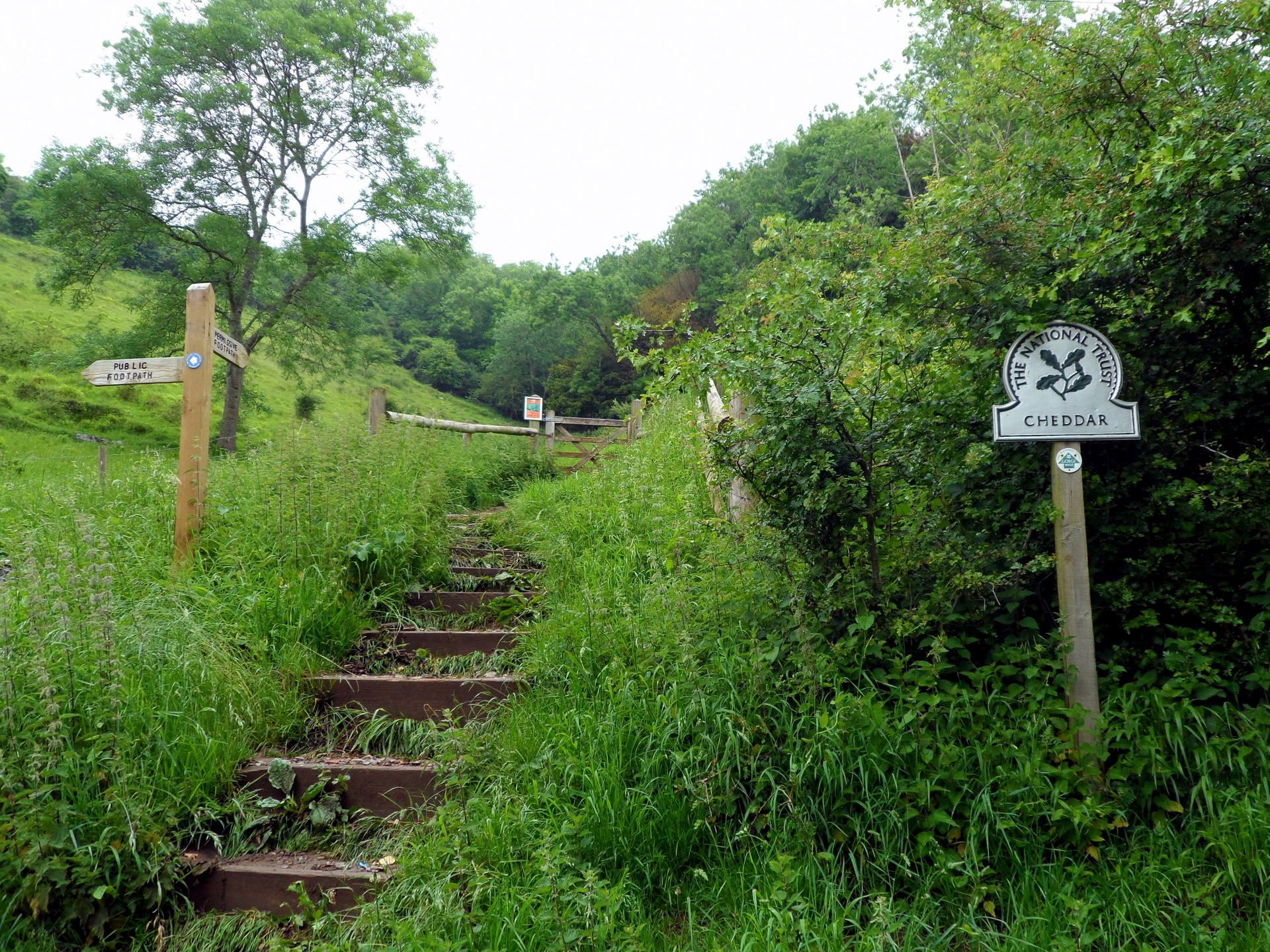
West Mendip Way- Day 2
SATURDAY 27TH MAY 2017:
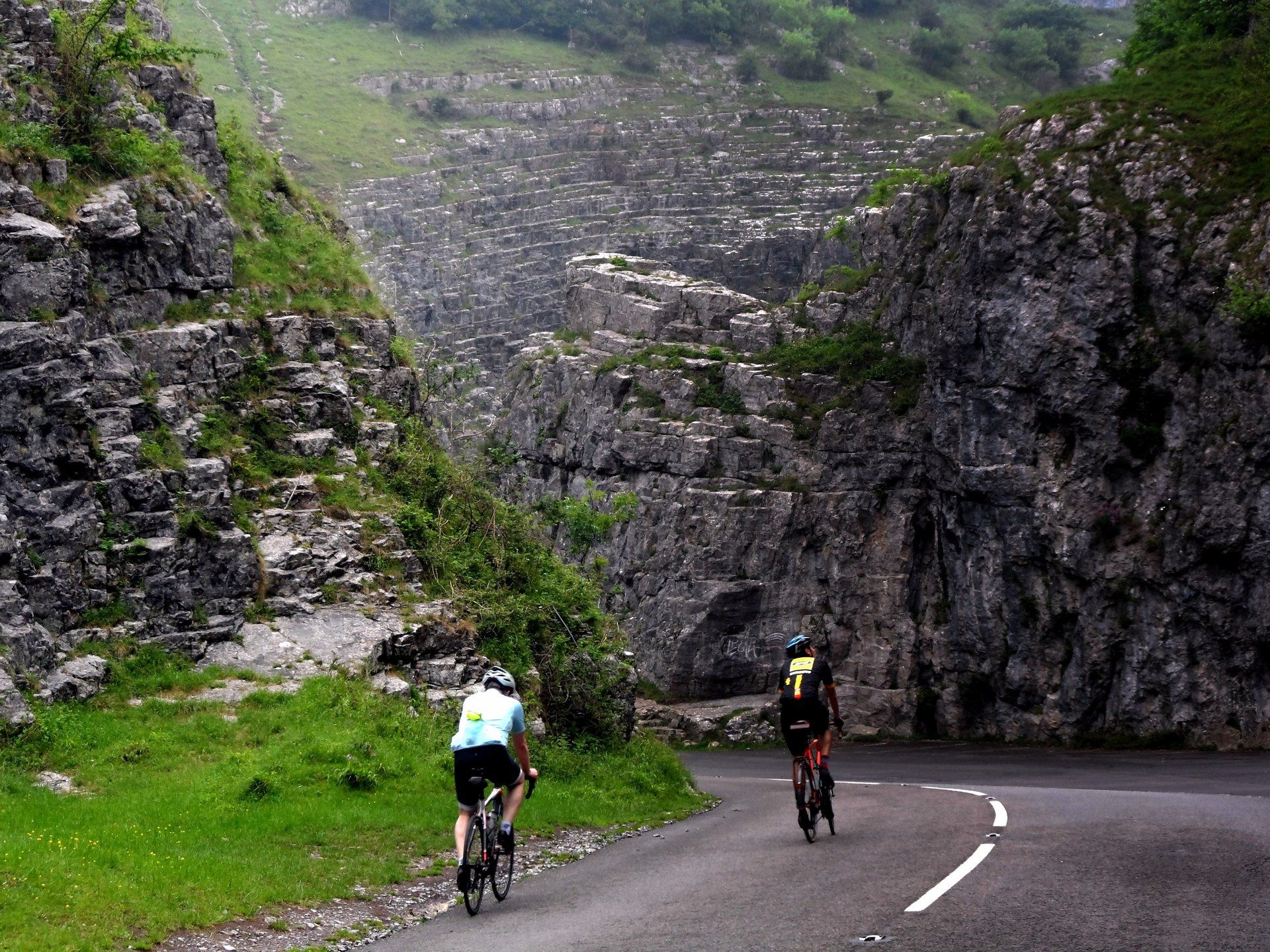
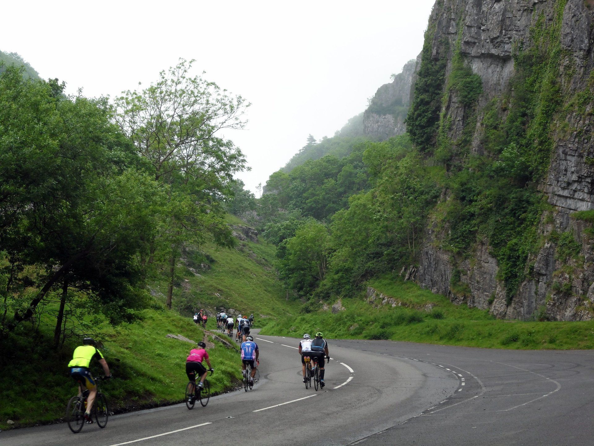
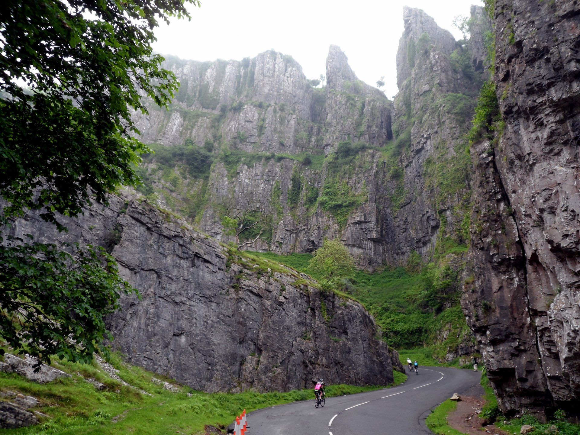
I had a good nights sleep, in what was the best overnight accommodation of the trip and after a hearty breakfast am ready to go. I had decided to walk up the road through the centre of the gorge – an opportunity to see from the bottom, rather than the top – and then return via the NW rim, which now seems to be the official trail route. It is a bit murky and misty this morning but the weather is supposed to be ok, if more cloudy than yesterday. On my way to the gorge I am passed by a stream of cyclists, apparently this is a 3-day tour and this morning the route is up Cliff Road, a long old climb.
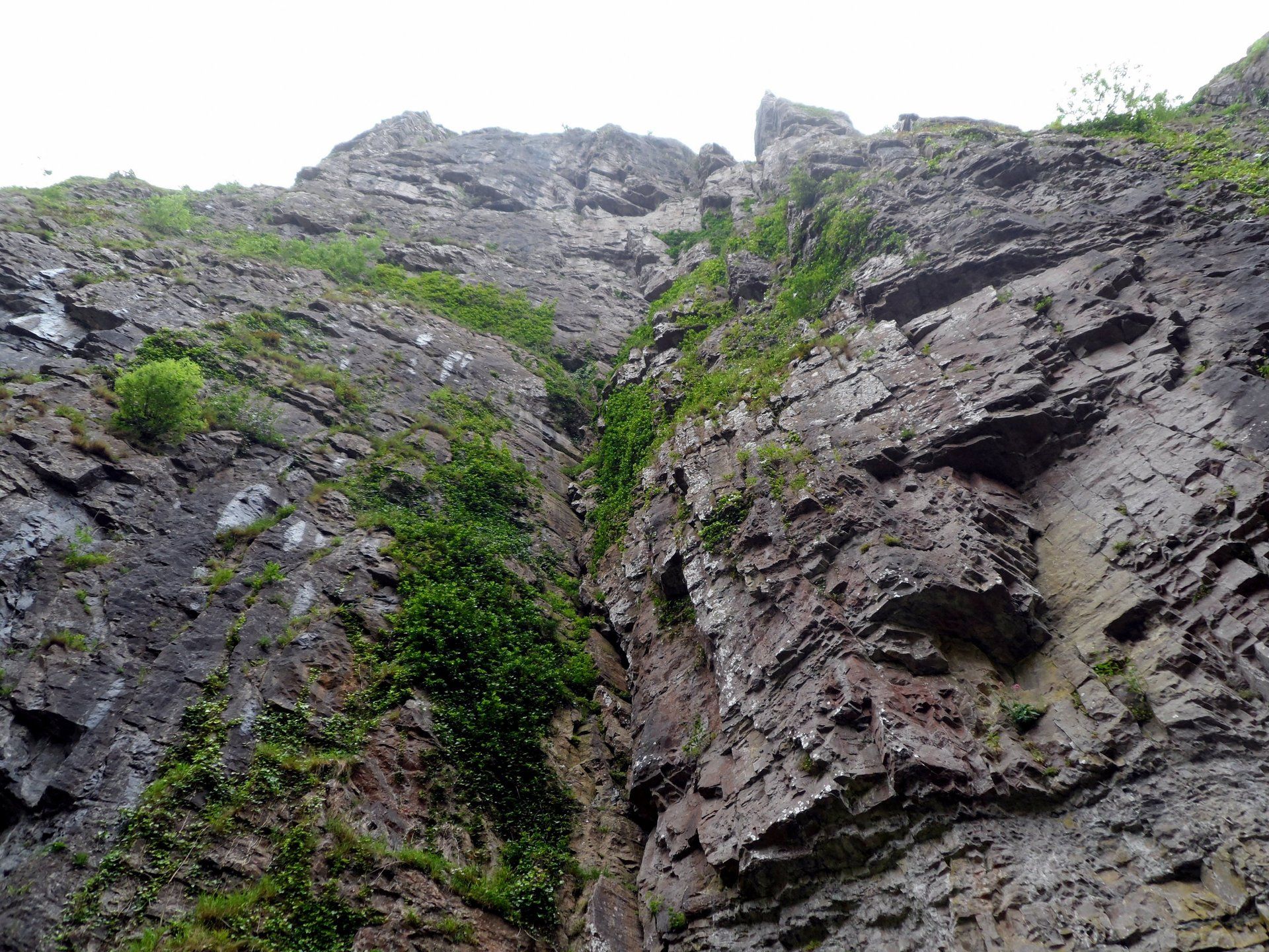
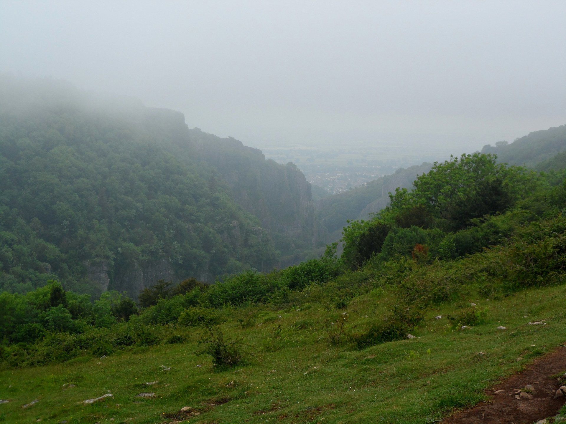
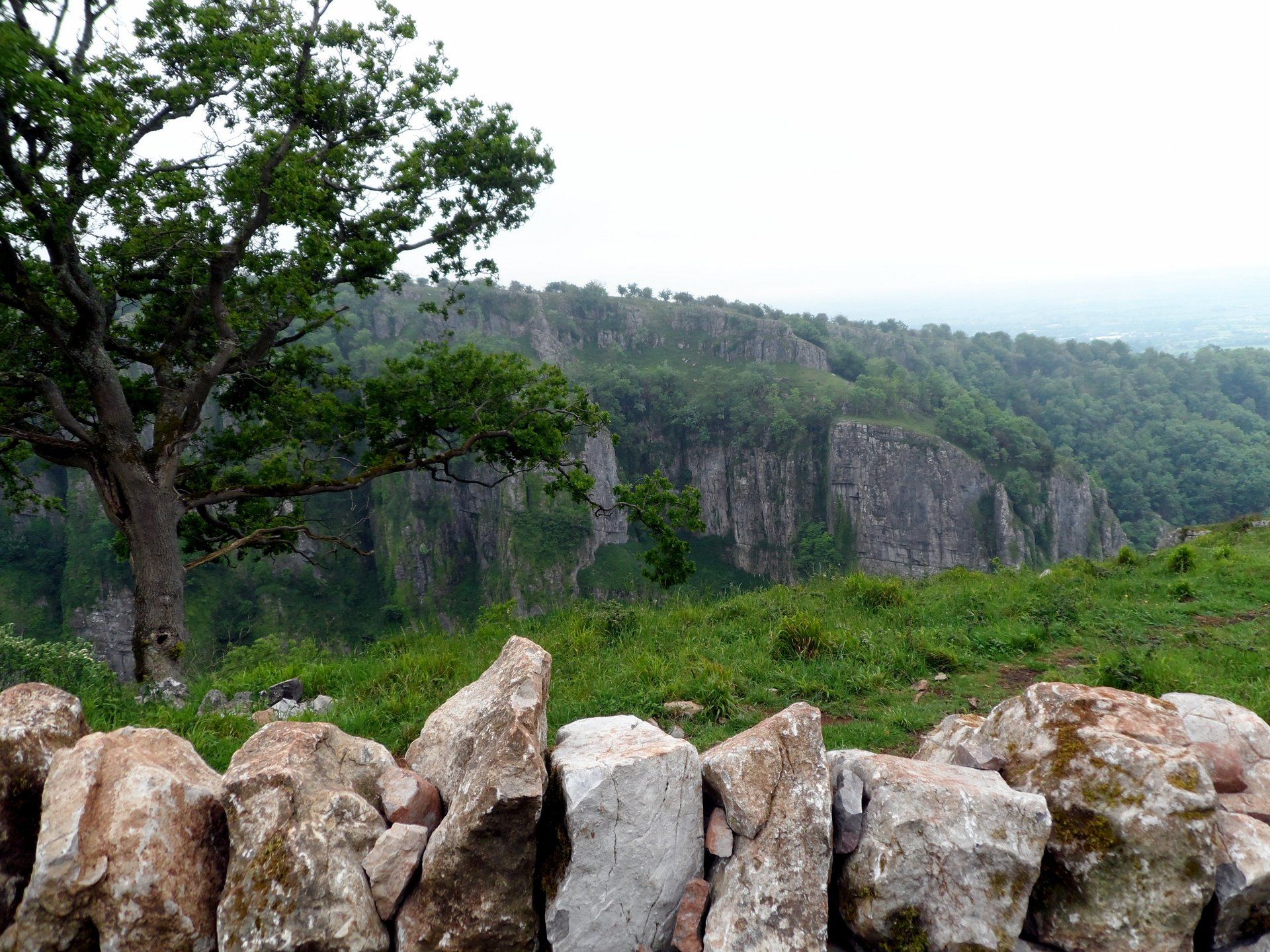
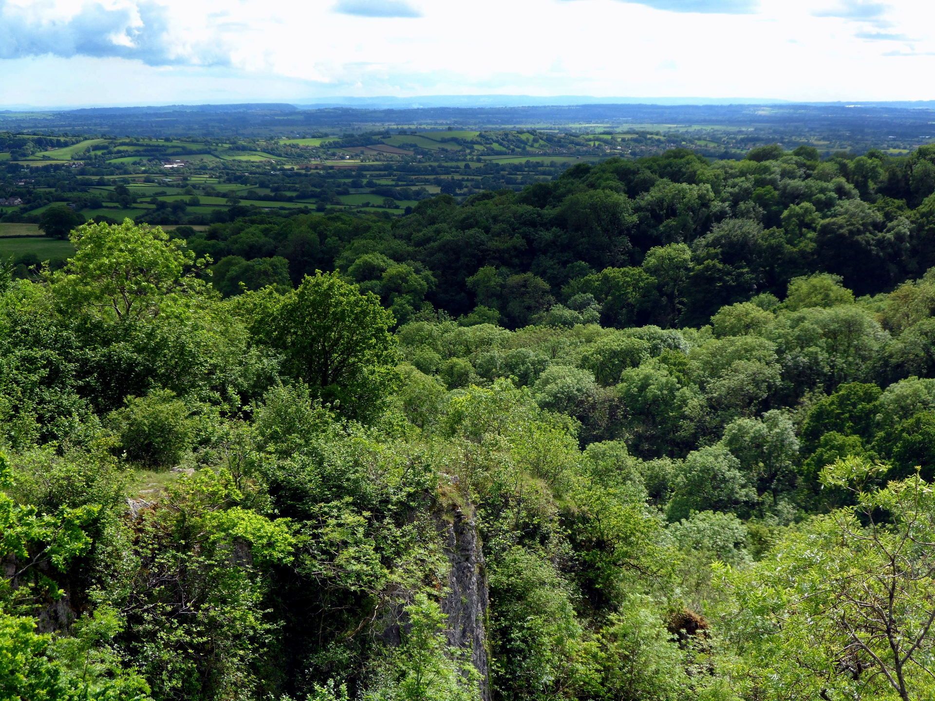
The gorge is an impressive sight, sheer rock and jutting peaks on a major scale, with changing views as I snake myself upwards (finding the gradient easier to walk than many of the cyclists, many of whom are huffing and puffing!). I am glad I chose to do this. At the top I turn off on to a track and make a fairly strenuous climb to the NW rim, from which I can peer across to where I was yesterday, albeit it the mist floats around the cliff tops.
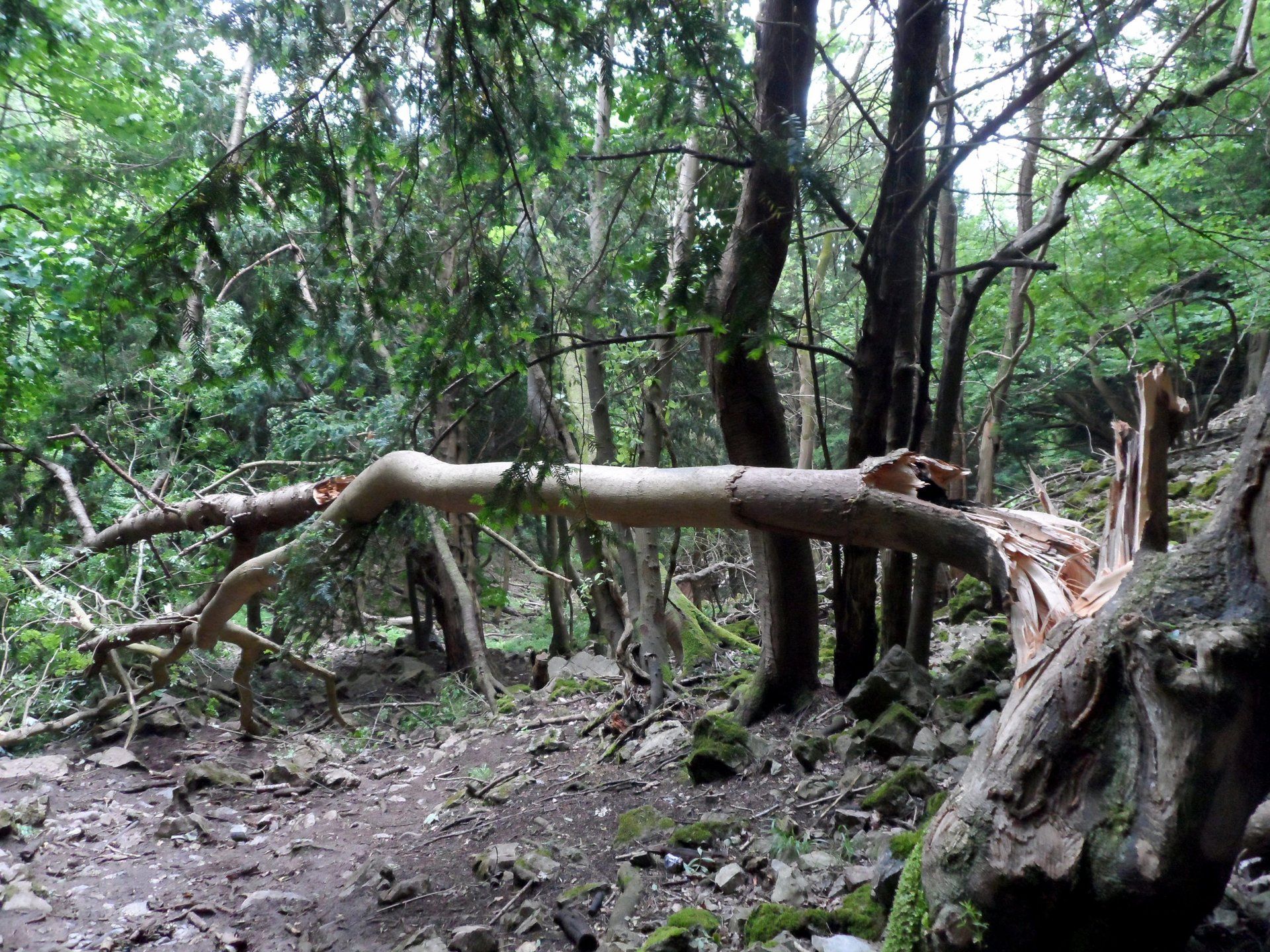
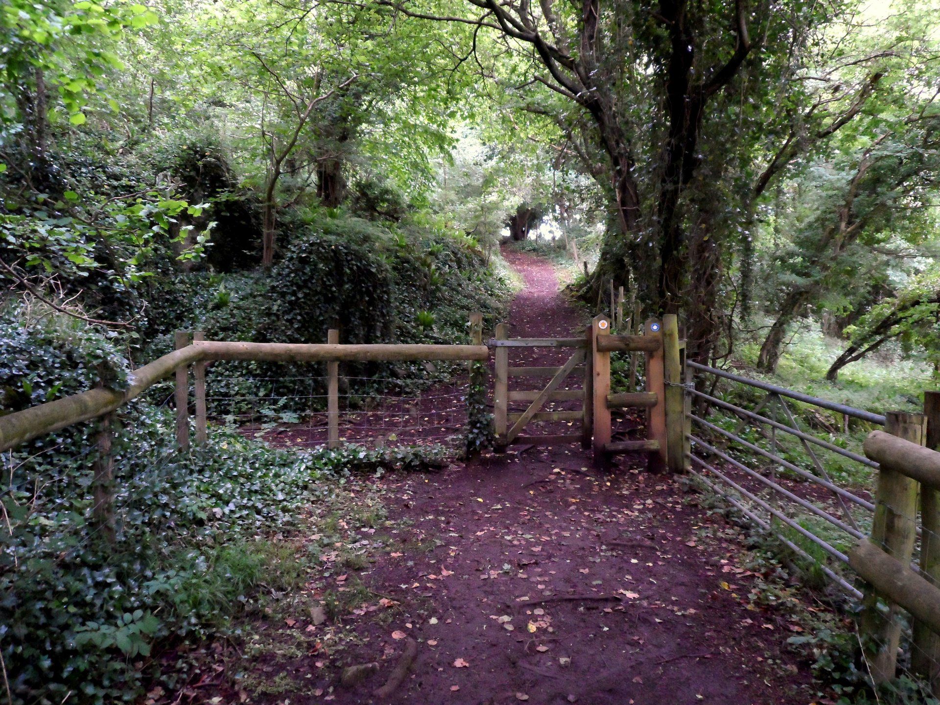
The trail is open for a while and then enters forest which leads to a long, steep, muddy and slippery route back down to the beginning and completes my loop. There were major thunderstorms in the night (which I slept through!) but maybe there were floods as the landscape seems to be that “ruined” look. Back at base I stock up on fluids and then continue on what I think is the trail. After climbing steeply again I begin to suspect I am going wrong…sure enough I am heading back up to the rim again! A U-turn and back down again. I just followed waymark blindly without thinking, without realising I was going in the wrong direction, duh! Overall, my Cheddar Gorge excursions have added 5 miles or so to my route – and a lot of up & down - but all worth it.
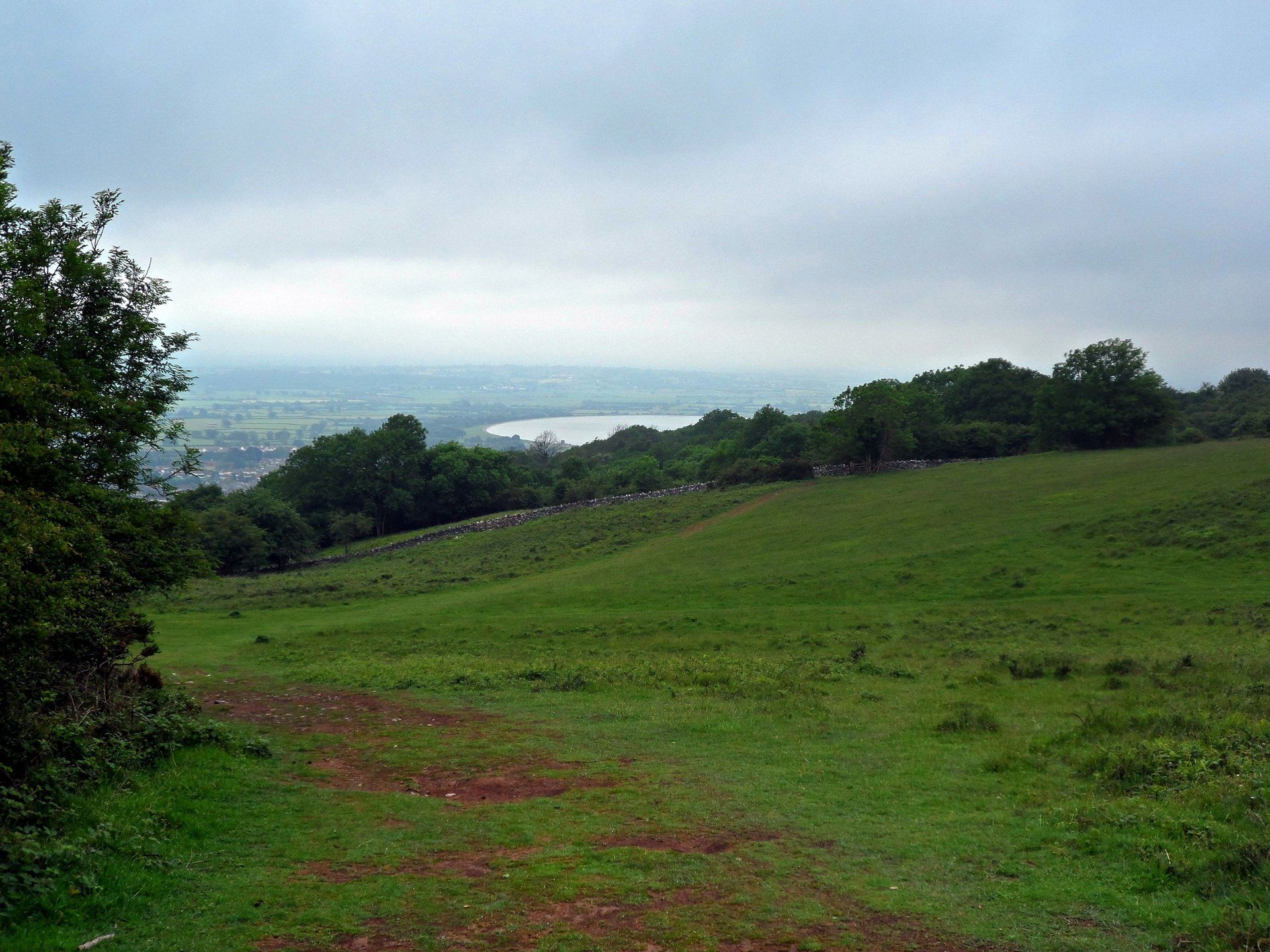
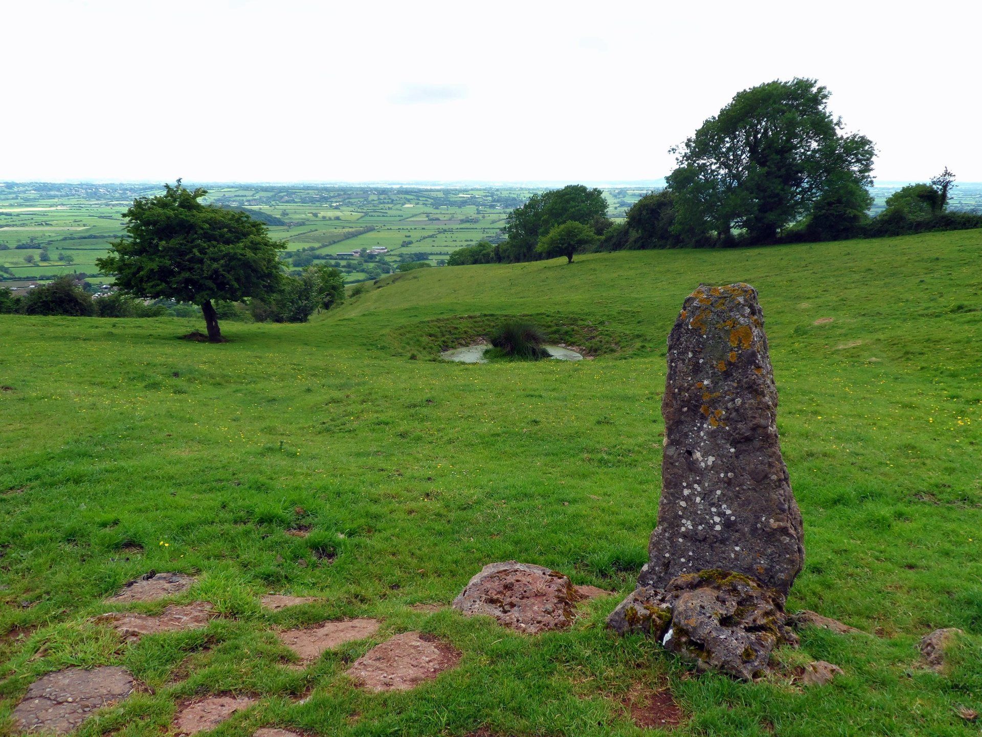
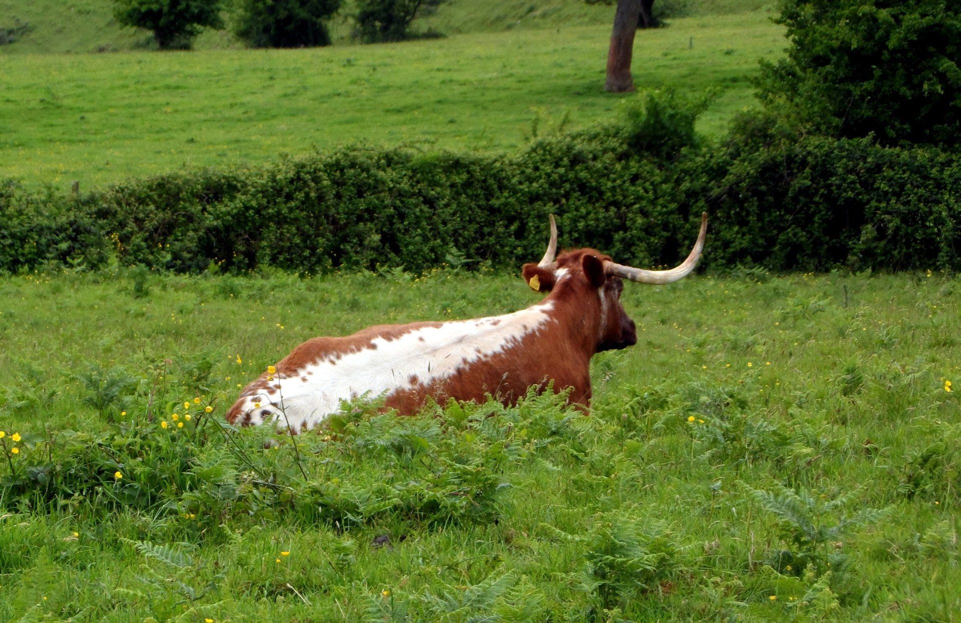
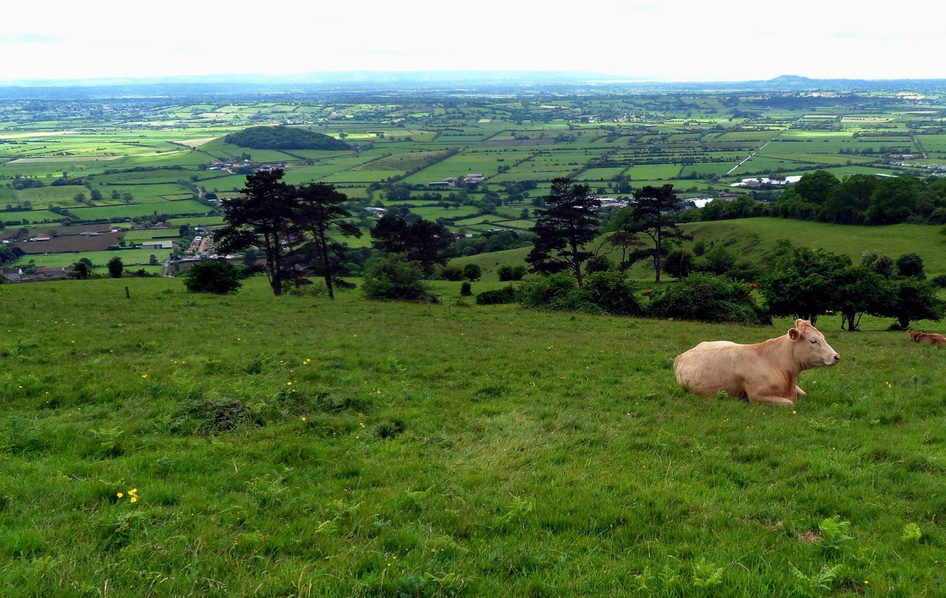
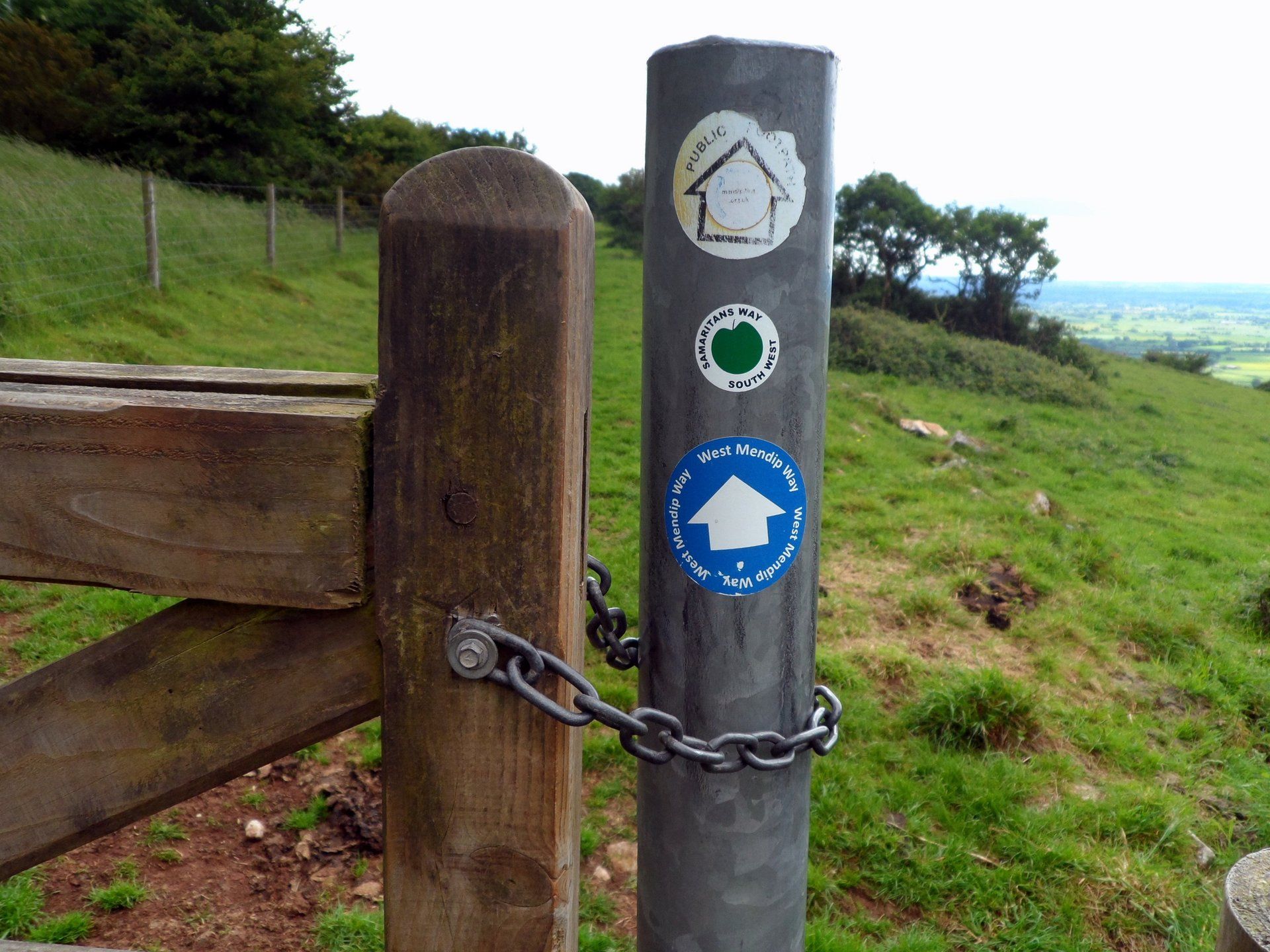
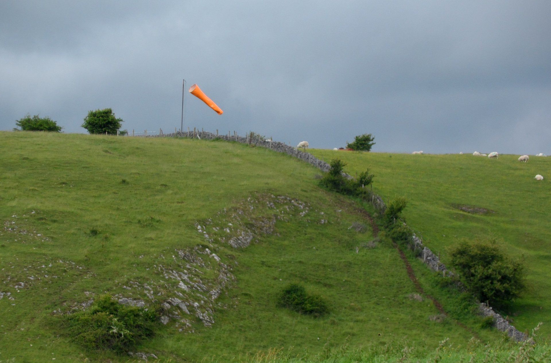
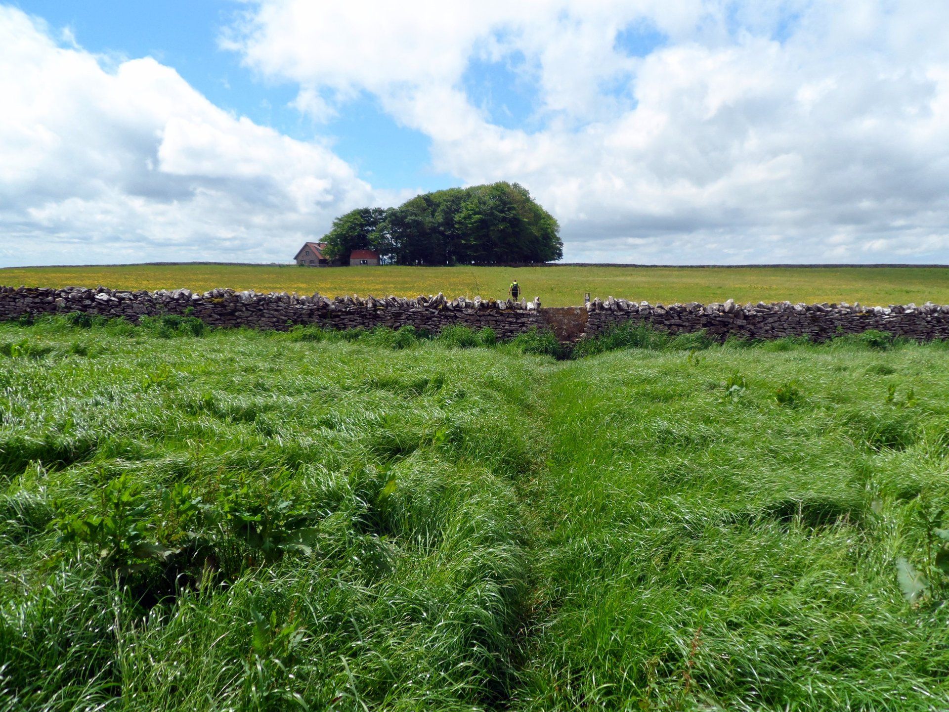
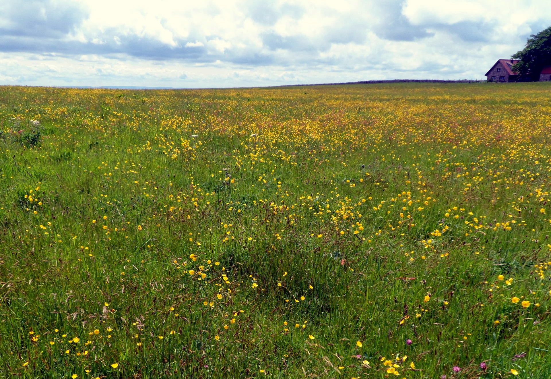
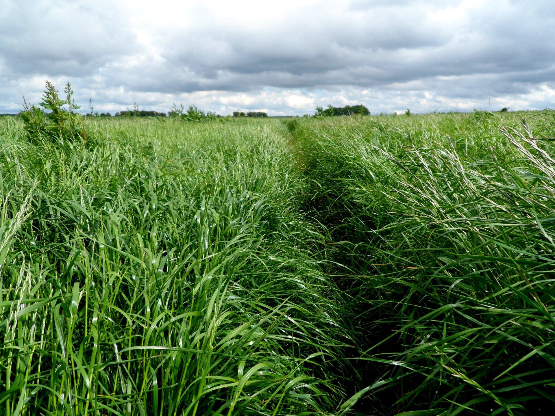
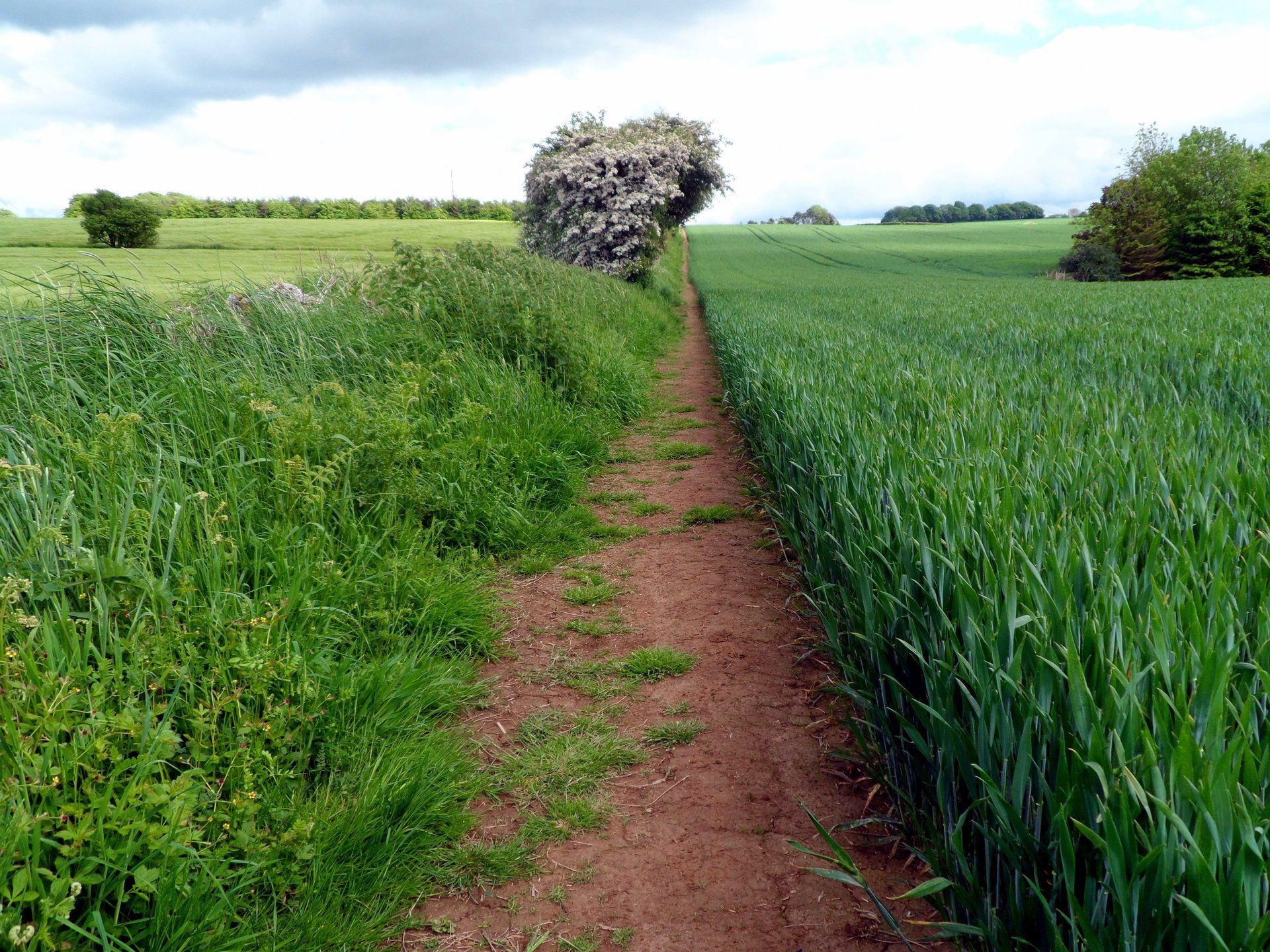
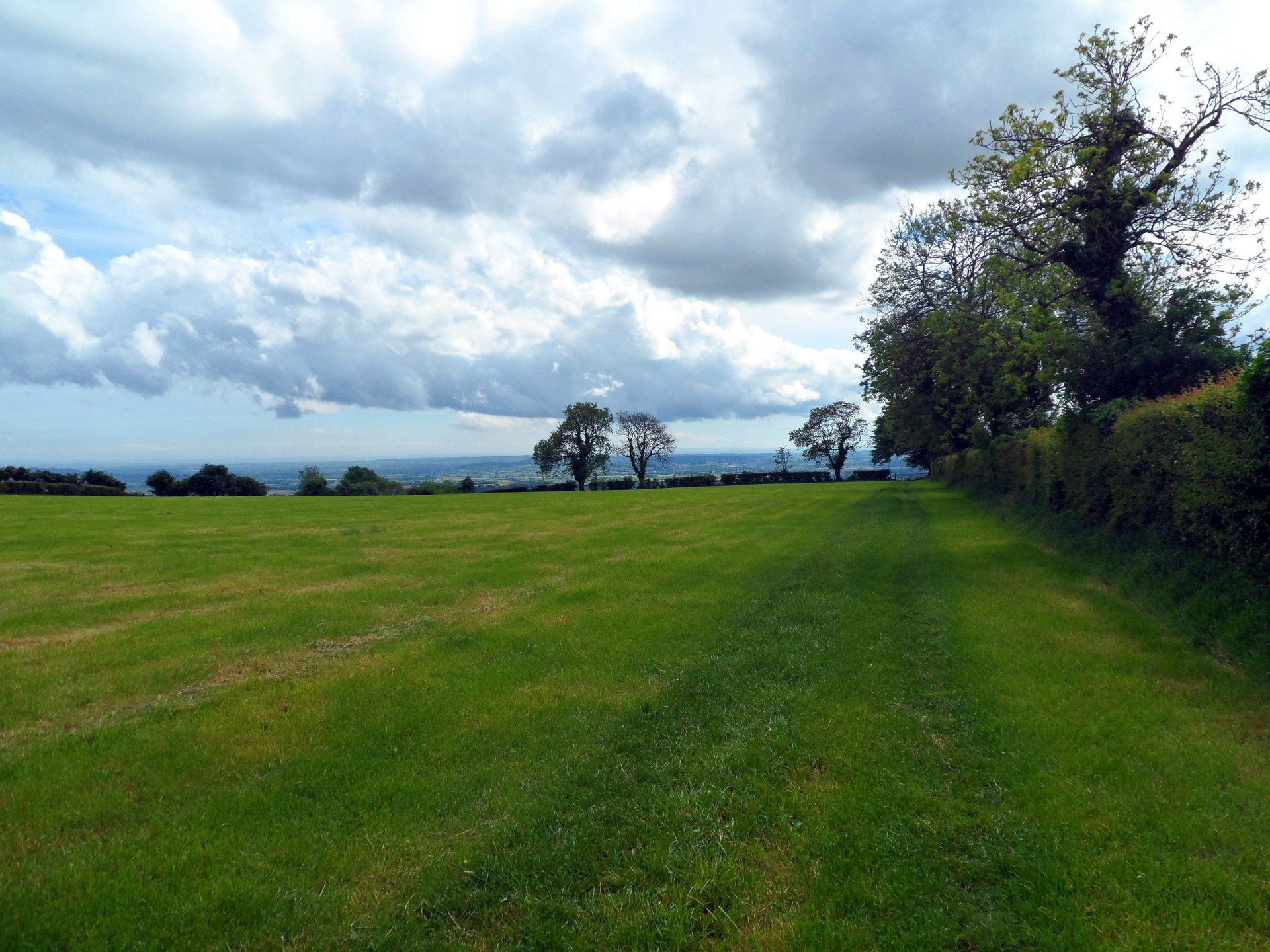
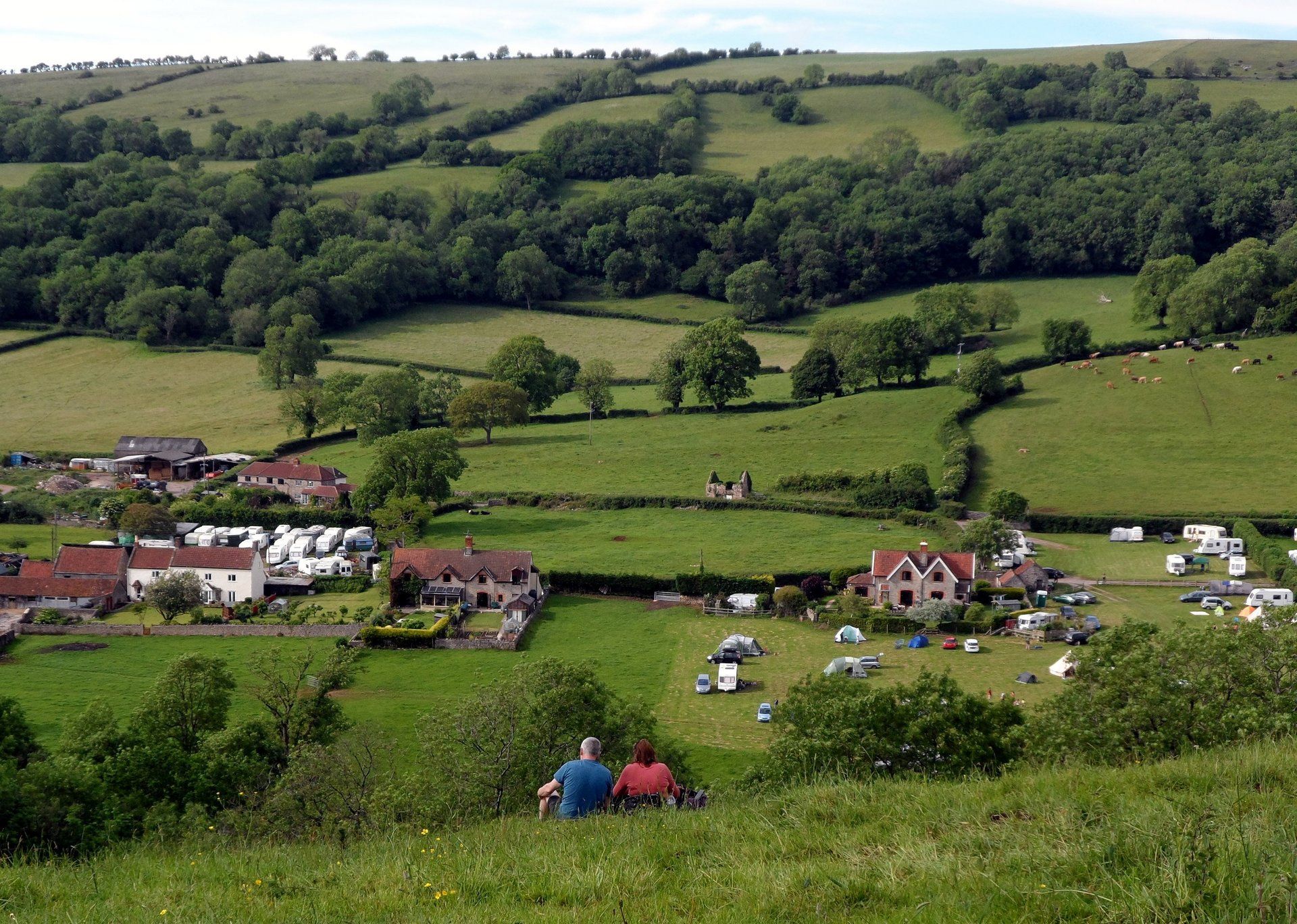
Tracks soon lead me out of Cheddar and up on the hills from Bradley Cross with views off into the distance, the reservoir clearly visible and in the far distance the start of my trip and across to Wales peninsula. I am into farmland here – plus a few muddy trails – and am a bit exposed to the wind on the southerly slopes but it is not cold. I start heading down hill and whilst I am on the trail according to map and GPS I know the official route has now changed to avoid a long descent to Draycott with a long ascent back up (rights of way now agreed). I retrace my steps and follow my nose and pick up waymarks which lead me through a few fields, over stiles, past cows and onwards.
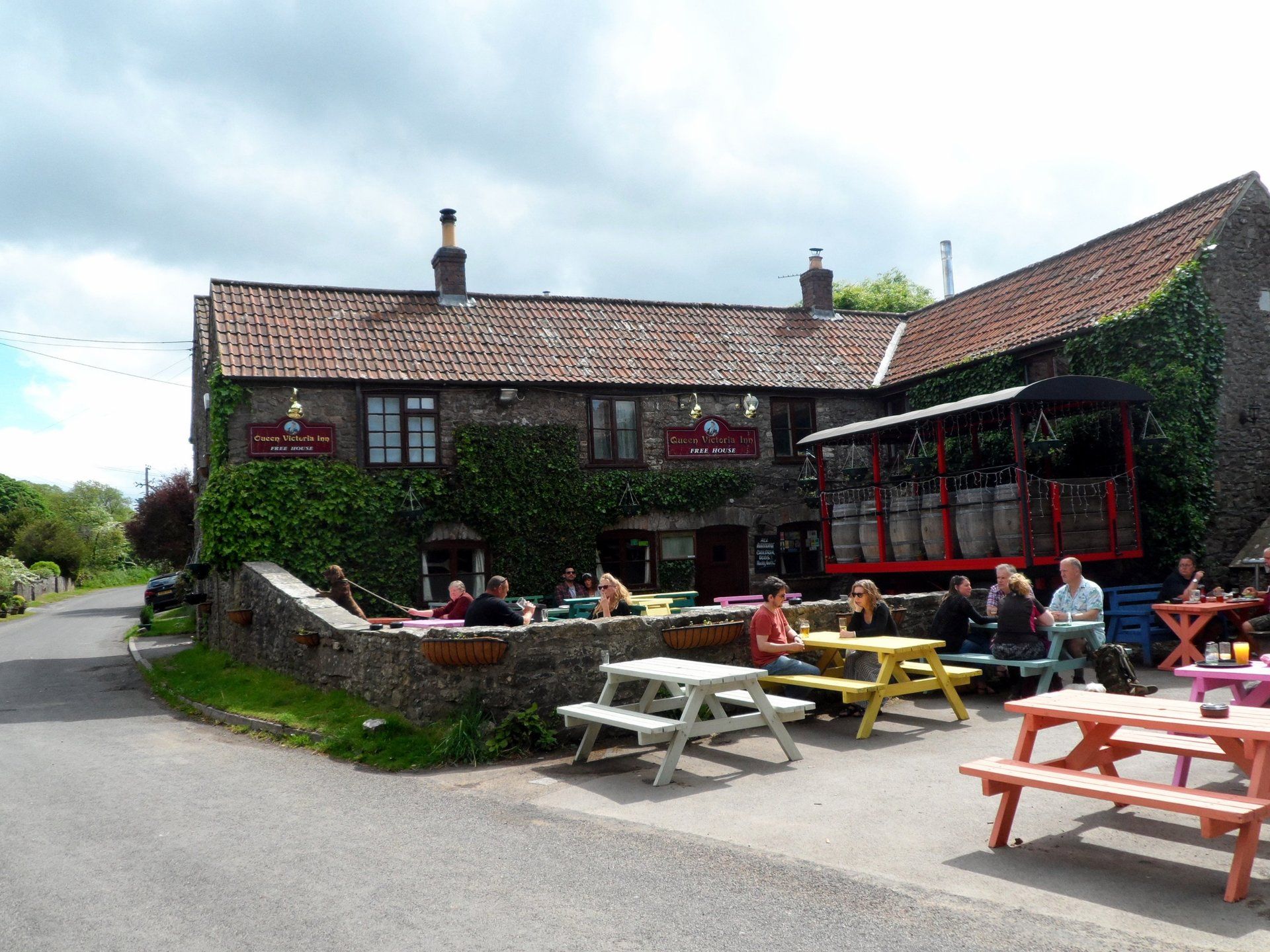
I eventually come to a small village, Priddy, which is my (late) lunch stop as it has a couple of pubs. I stop at the Queen Victoria, luckily just before 3:00pm when they stop serving, and have a chilli, rice and cider….good but spicy!
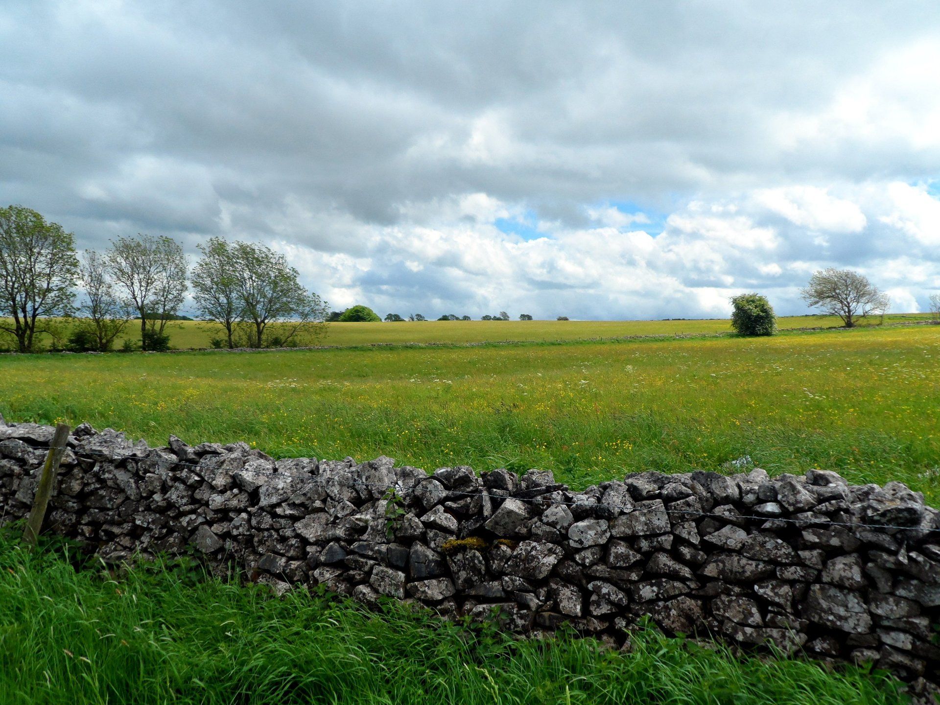
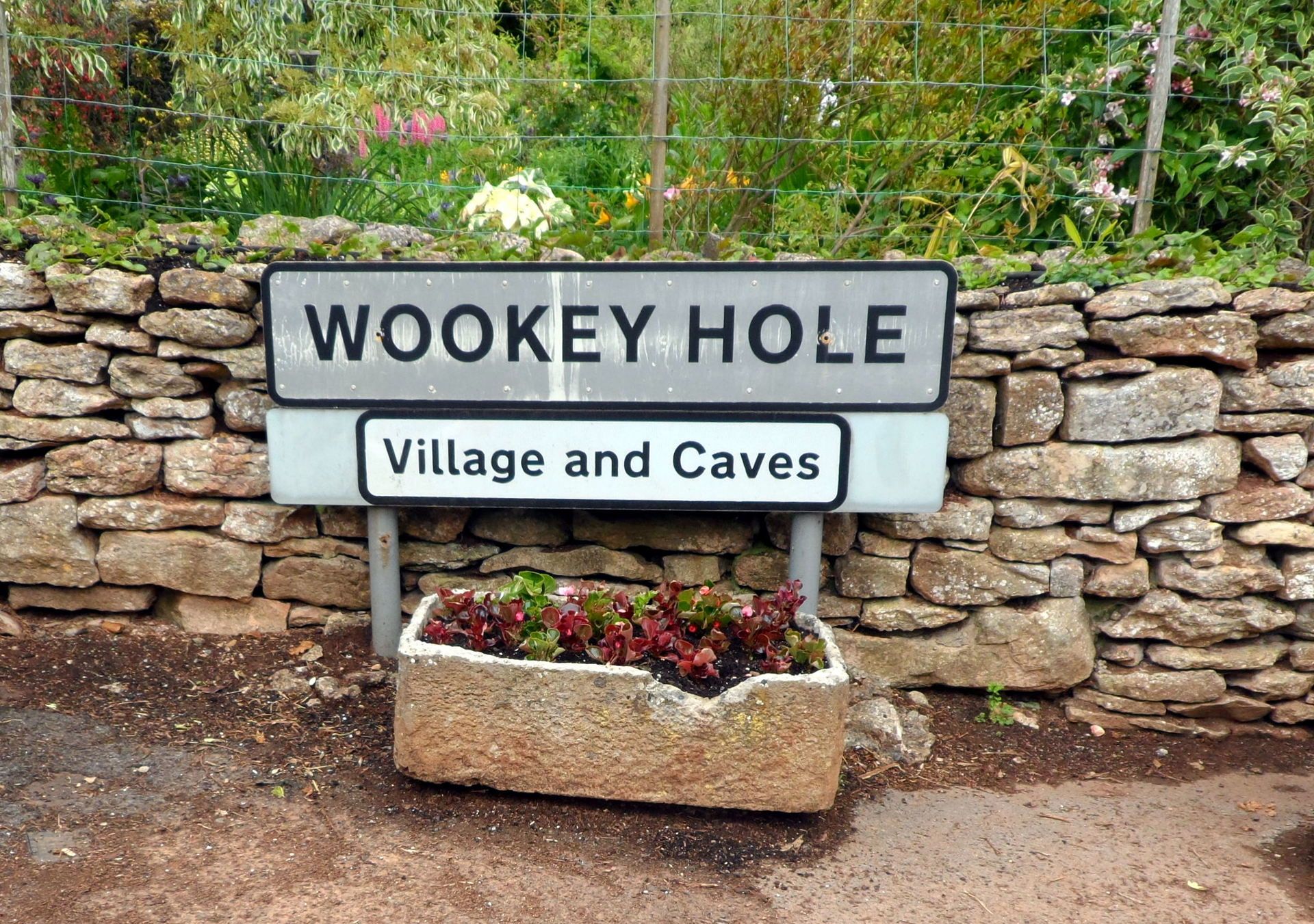
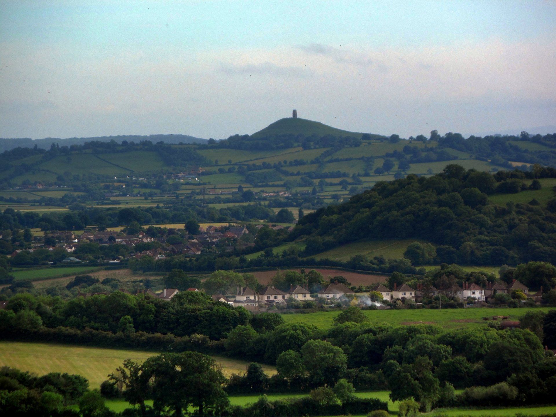
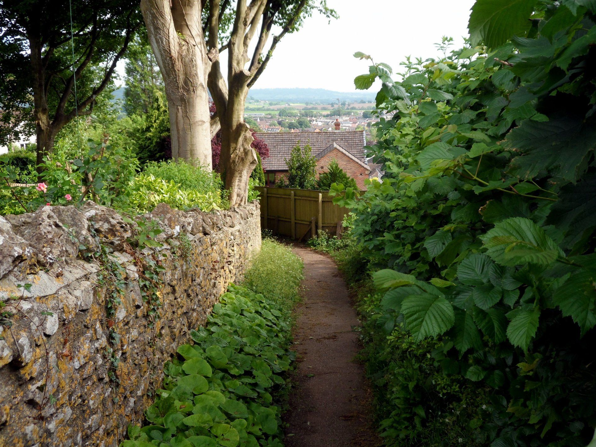
Suitably refuelled I am off through more fields and make my way towards Ebbor Gorge. A viewpoint sits above the gorge from which you can see Glastonbury Tor in the far distance. Descending again I pass through another tourist site, Wookey Hole, stopping for an ice cream, then move off and am soon on the outskirts of Wells. My Guest House is a bit off the trail but I make my way there and settle in for the night. A cup of tea, some shortbread biscuits and a good chat on phone before planning the next day fill my time, then bed.